
Start: Cub Spring
Finish: San Mateo Canyon
Miles: 18.9 / 253.3 total
Ascent: 3650 feet
The clouds cleared out before I went to bed, then came back with a vengeance overnight, but left before I woke up. All in all a nice night, and didn’t end up too cold despite the elevation and damp.
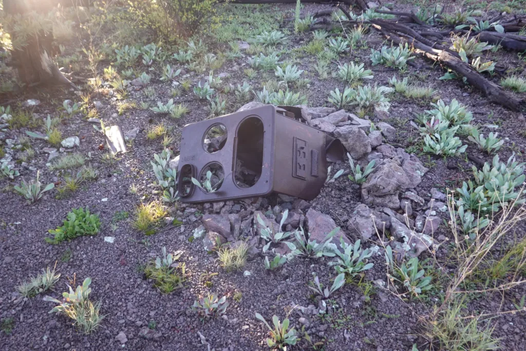
Quick jog back to the trail from my side trail campsite, and I soon summited Blue Mountain, which is my first summit of the hike I think. The summit was rounded and spacious, and would have been a great camping spot if the clouds hadn’t been here last night. Oddly, there was an old wood range on top of the mountain, with little else to go along with it. Quite the effort to drag that up here back in the day.
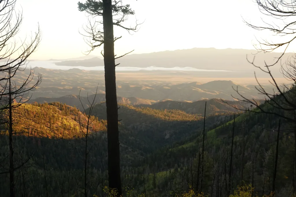
The trail down Blue Mountain was a breeze. This Apache Kid Wilderness Area has largely been burned by forest fires in recent years, and I was dreading the rest of the area being like the climb up last night. Thankfully not so, and I cruised down on nice trail.
Crossed Apache Kid pass, where he was apparently buried after he was killed, though the location is unknown.
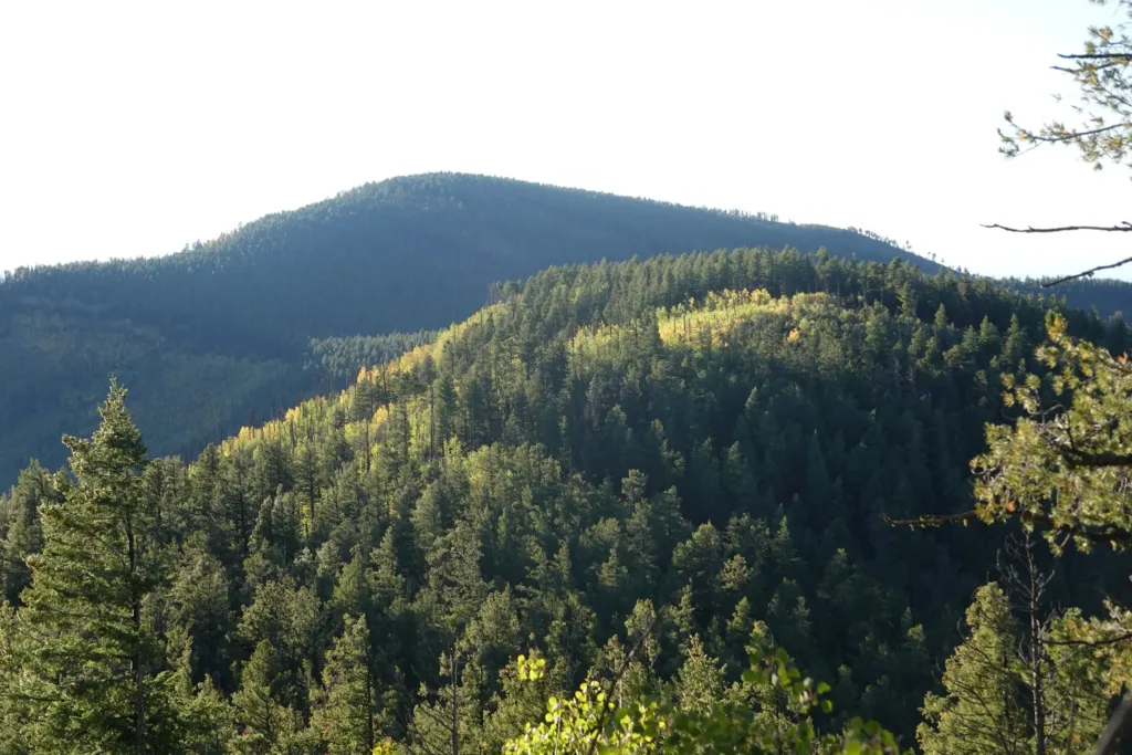
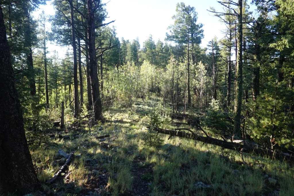
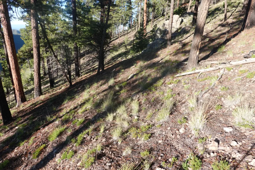
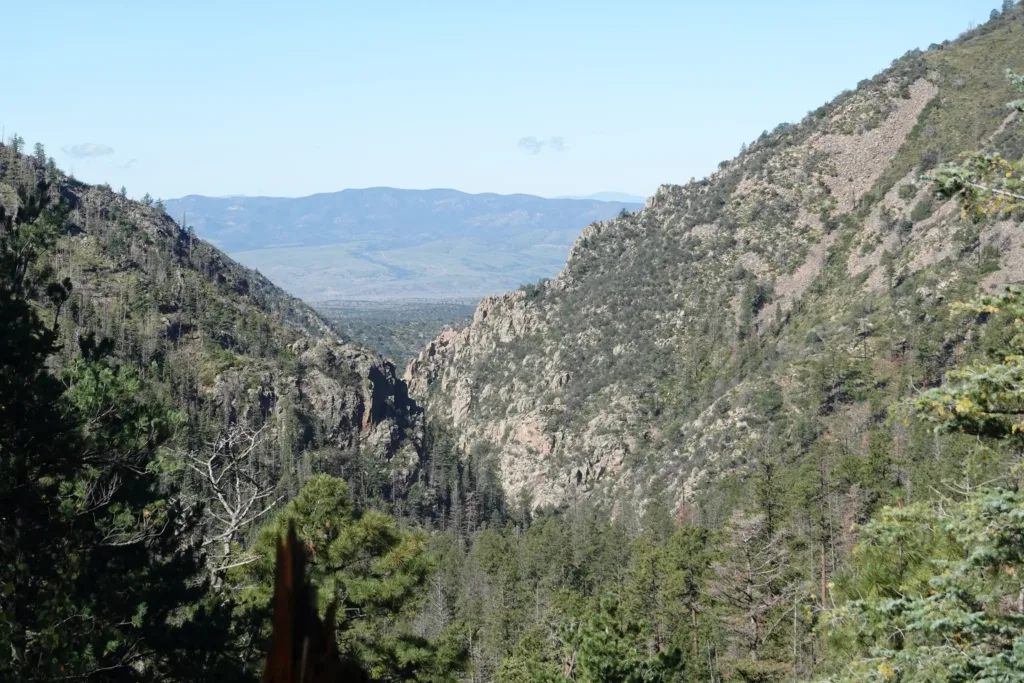
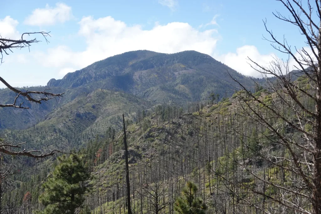
The trail meandered around for a while, giving good views of the interior of the wilderness area, though most of it was fairly tame and rounded, not jagged spires or anything dramatic like that. It was nice hiking though.
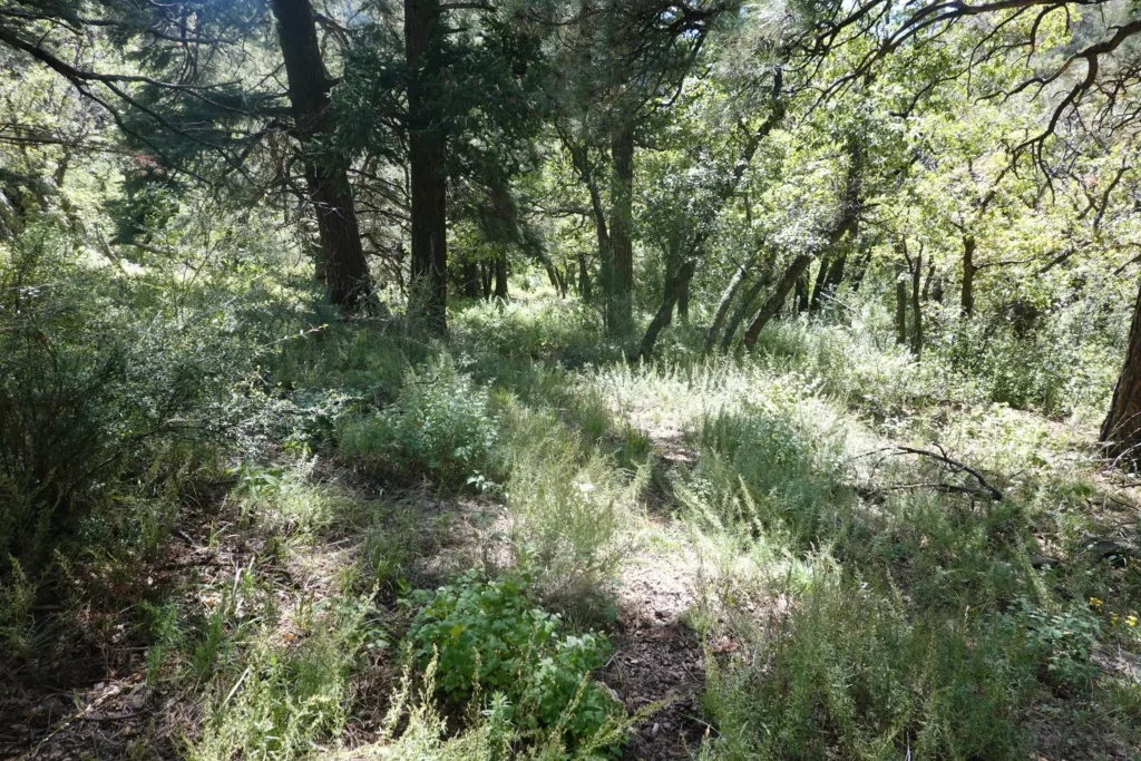
The trail did occasionally get lost in an alder thicket or under grasses. All in all the trail was largely subtle and you really had to be paying attention most of the time to stay on it. It is not maintained much, and obviously not traveled much either. I had to keep my brain really engaged on the trail to stay on it, which is fine with me, I like challenges like that.
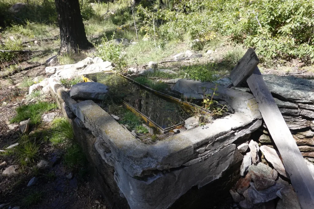
There were a number of springs and streams throughout the day, even more than mentioned in my guide. That has been the case lately after the rains; everything that could possibly be flowing is. I carried the least amount of water this whole trip today.
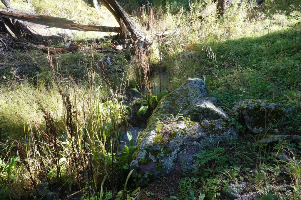
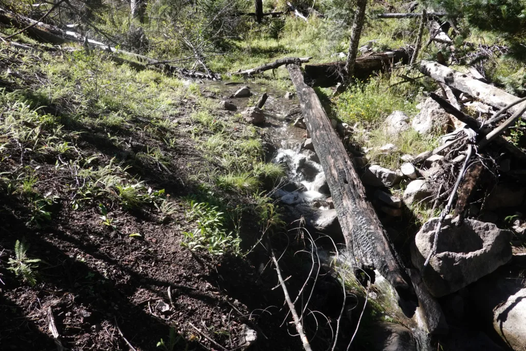
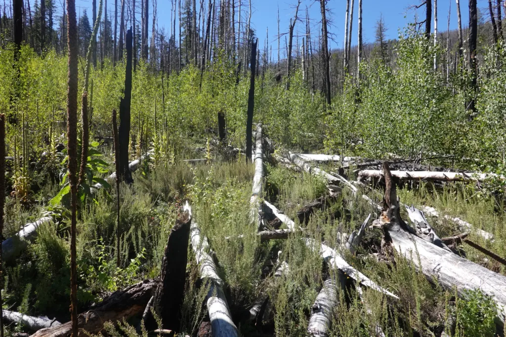
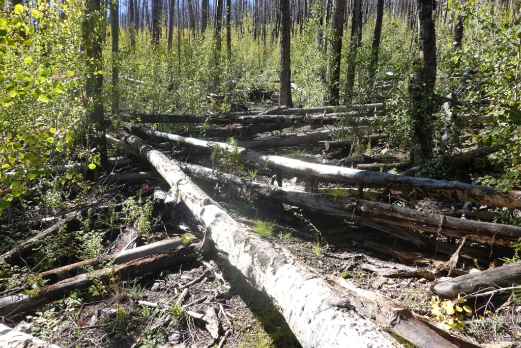
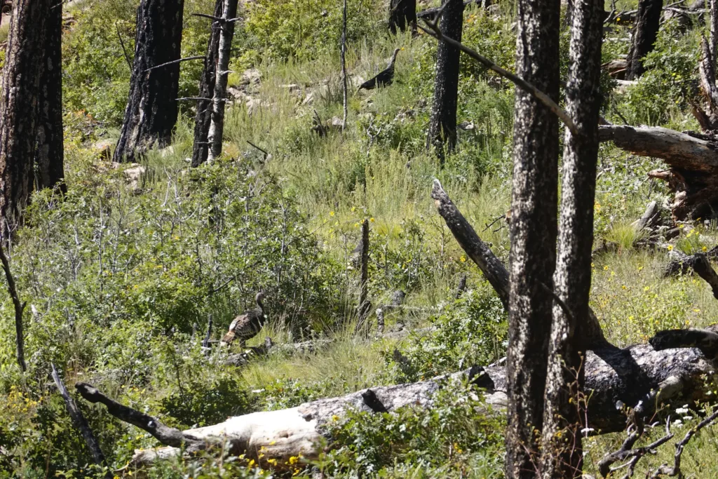
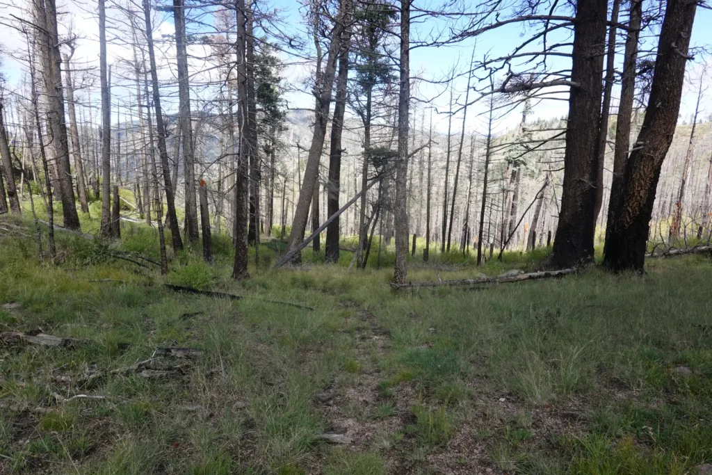
The climb up to San Mateo Pass started off easy along a creek, but the trail went through a burn area like none I’ve seen so far. There were the typical aspen thickets, but in this area it seemed like every tree that had burned had also fallen over already instead of remaining standing. The trail was like a trough in places, the it was filled up with the blowdown debris. I encountered trees down across the trail every few seconds which was mind numbingly slow and annoying to deal with. I looked at just hiking straight uphill, but it was even worse since the trail at least had a few trees cut here or there. But with all the blowdowns, it was hard to see where the trail even was.
I was constantly standing on trees, some would break, some would move, and I was even jumping from tree to tree at times. Probably not the safest thing I have ever done, but it was just so hard to make forward progress. I can’t describe how bad the trail was; it is perhaps the worst stretch of trail I have ever done, which should say something.
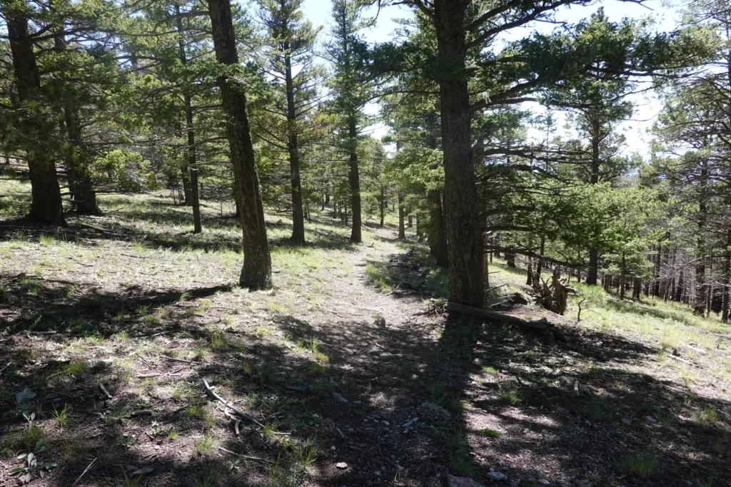
At long last, I attained the pass, and the other side was gloriously maintained. The Aspen thickets disappeared, and it looked like it had been logged out a couple years back or so, so there were few trees down across the trail. I could even readily see the trail which was amazing.

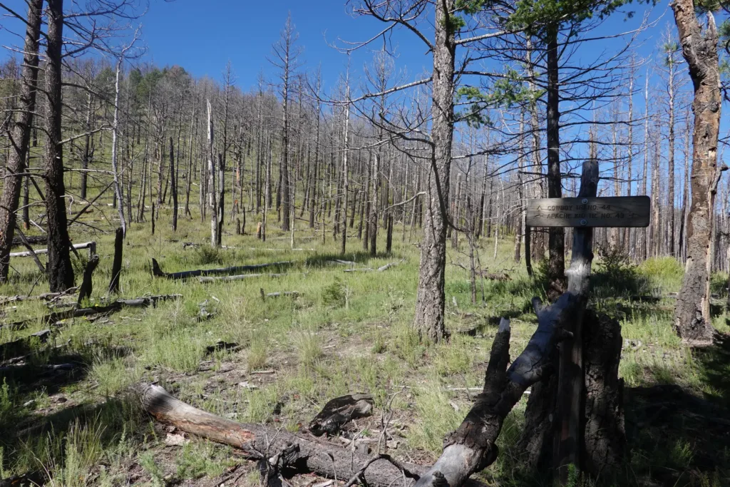
However, that didn’t last as I had to turn off onto another trail which hadn’t seen that type of maintenance. The trail was largely buried under overgrowth, and there were blowdowns, but at least not as many as before. This section of forest seems to have reacted to the fire differently. It shredded my pants leaving 7 large holes I will have to patch.
It was still a grind though since there was a lot of up and down and I was constantly stopping to try to figure out where the trail was, even if I was directly on it. It was really faint.
Overall, I was ready to be done with this Wilderness Area. I could do the hiking, but it just wasn’t much fun, it was just a grind. I headed over the last pass with its non-existent trail and crossed the wide saddle to the other side and my final descent down a canyon.
Thankfully, this stretch of trail also appeared to be logged out some years back, and the treadway was mostly apparent, so it was much easier, if steeper, to make my run out of this forest.
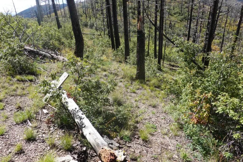
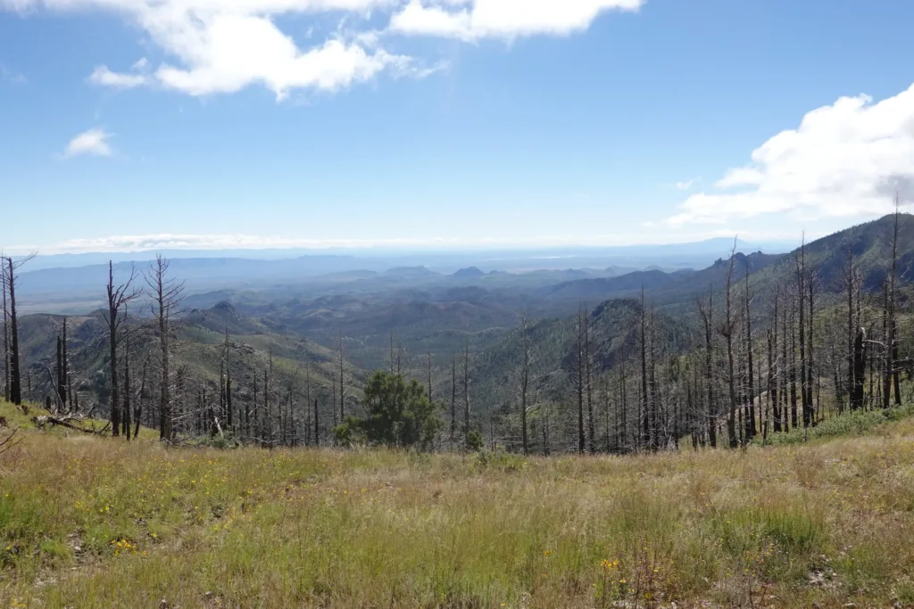
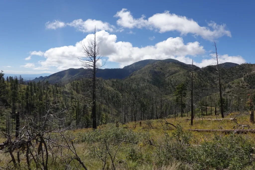
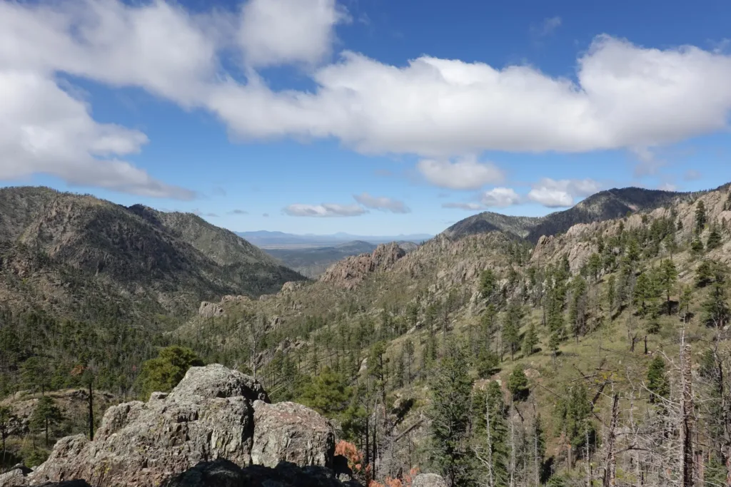
The canyon I descended was really scenic, but all I wanted to do was get out of there and be done with it. I took a few obligatory pictures, but other than that just put my head down and got through it as quickly as possible.
I flew down in elevation, and the scenery changed quickly. I passed through climate zones, going from forest to desert and back, depending how far I was from the creek.
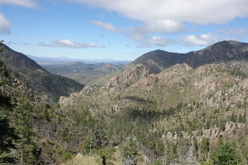
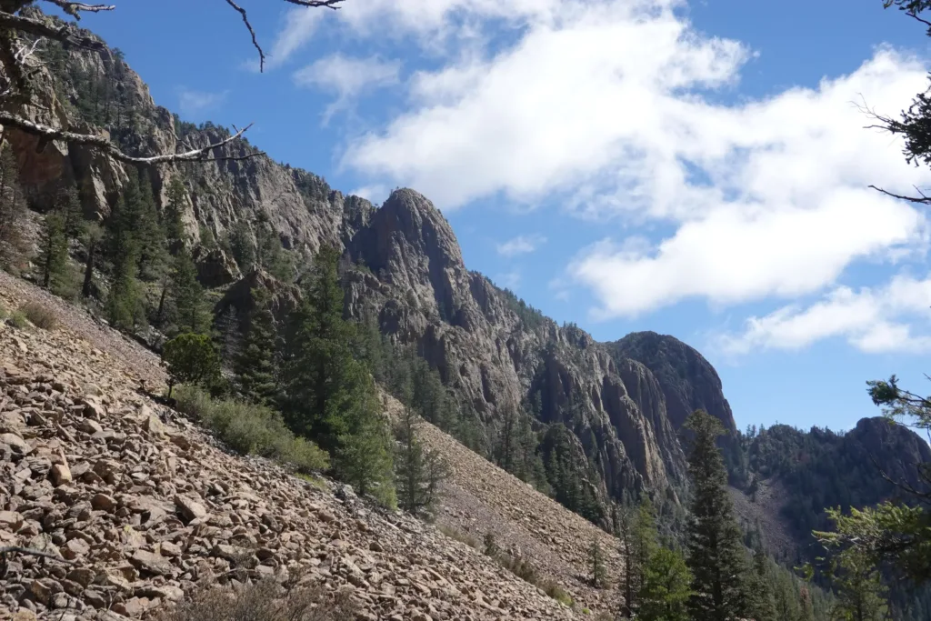
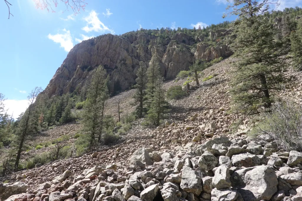
I stopped right before the trail parted ways with the creek for a break and to tank up on water. I was entering ranchland again, where cow ponds and troughs would be my water sources, so might as well start off with some good water.
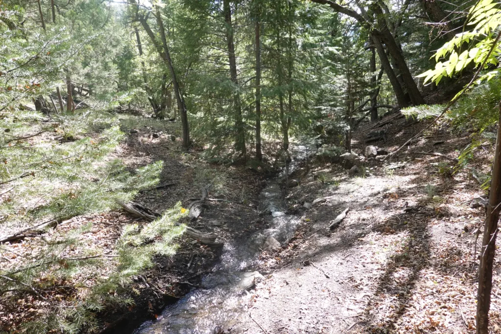
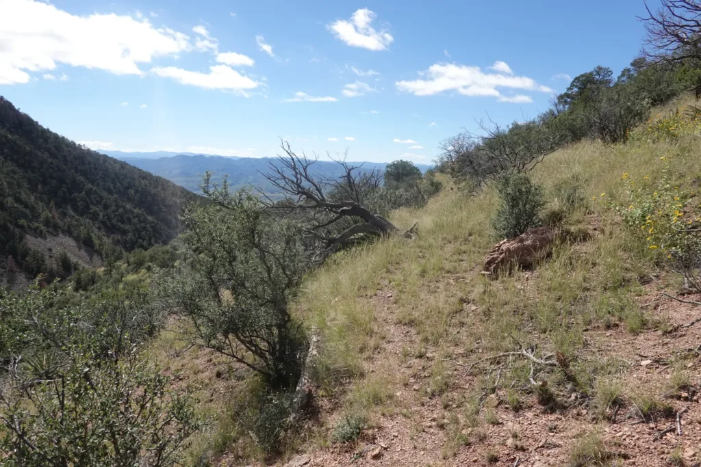
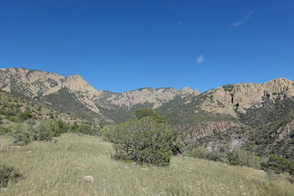
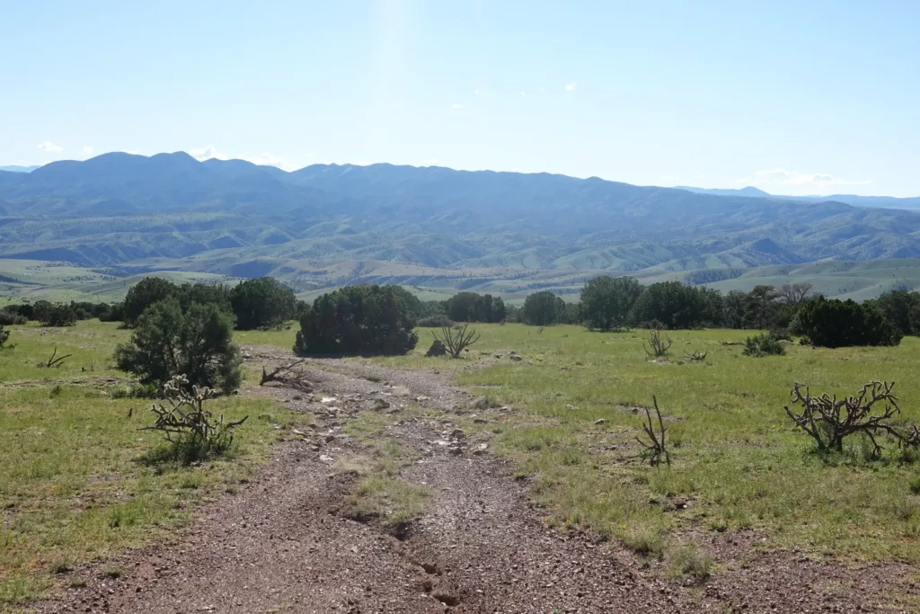
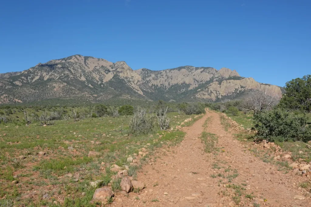
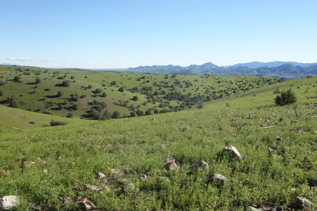
I exited the Wilderness Area and pounded my way down some primitive roads until I got to a flat cow pasture that was far enough for the day. In any case it was right before a climb that I didn’t want to start with a full water load.
Looking back at the Apache Kid Wilderness Area, it has incredible looking cliffs and peaks from the outside, but interestingly, it does not look like that on the interior.
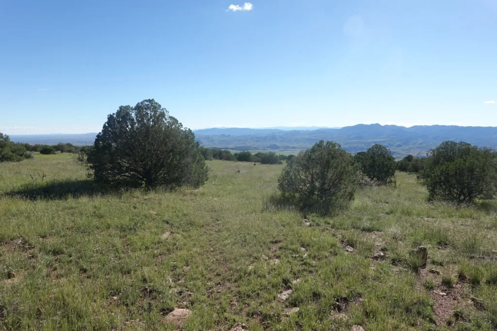
It was one of those kick all the cow patties out of the way so I can set up my tent places, but it is flat and it should work.
I was really liking the Apache Kid Trail of the past 2 days despite its challenges. However, it became just a bit too much for me with all of the blowdowns and obscured trail. It was not fun and I just wanted to escape it. I will pass through some other burned areas on this trail, and I hope they aren’t like this experience.