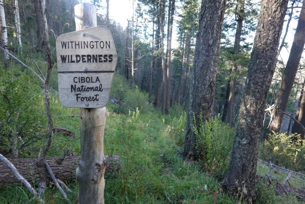
Start: Peak 7215
Finish: Head of Potato Canyon
Miles: 20.18 / 212.58 total
Ascent: 5220 feet
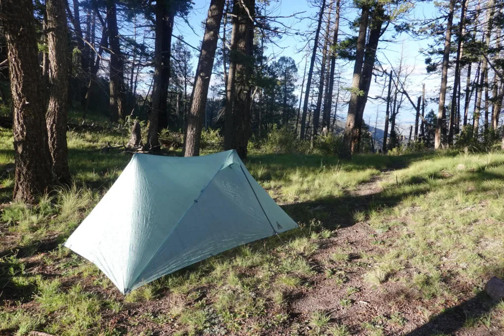
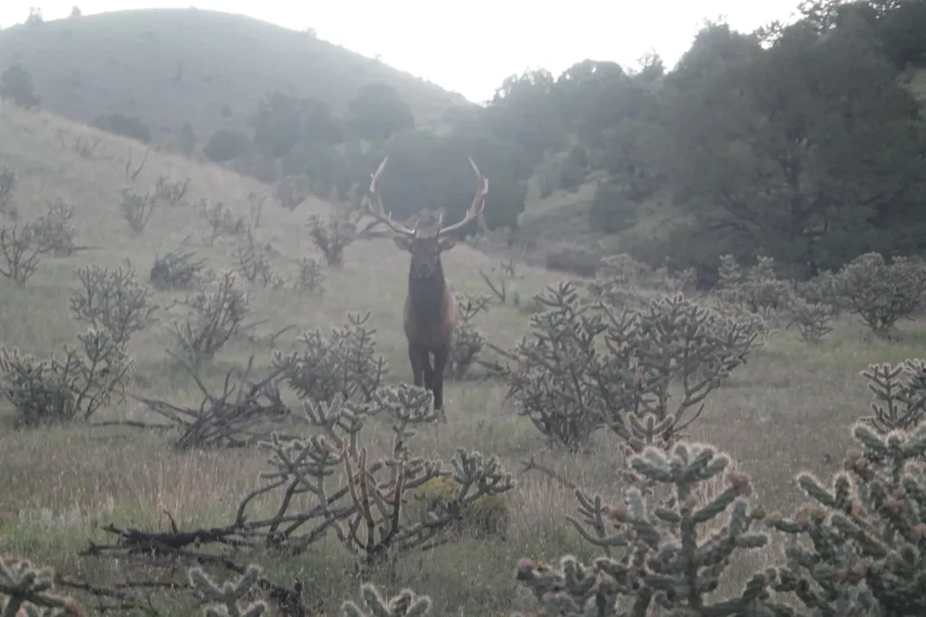
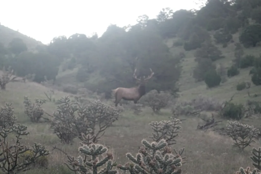
Elk bugled at night and again in the morning. As I was taking down my tent, a huge bull elk was sauntering towards me without seeing me. He got pretty close before I got out my camera and he ran off.
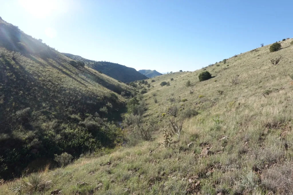
There was a lot of off-trail this morning. The route wove in and out of rocky hills. It went up some hills and down some washes.
Many of the washes had flowing water still, as I carried about a gallon past. Can’t roll the dice on that. Some of the washes got a little tight with pourovers too. Since most of them were flowing, I took a higher route many times, either above them or all the way to the ridge above them for much easier walking.
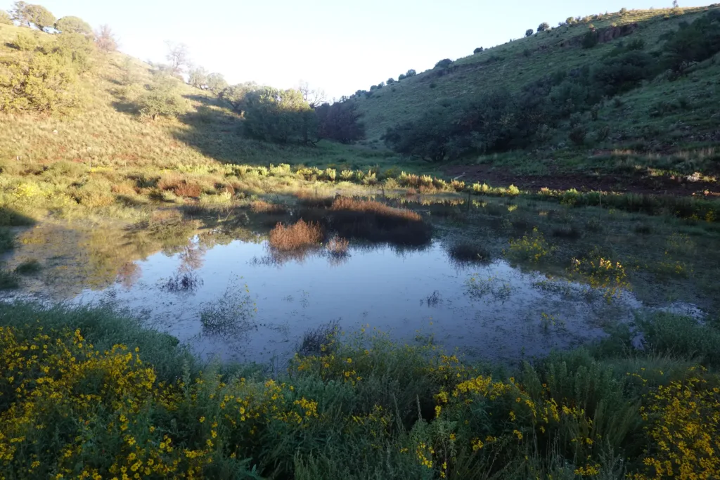
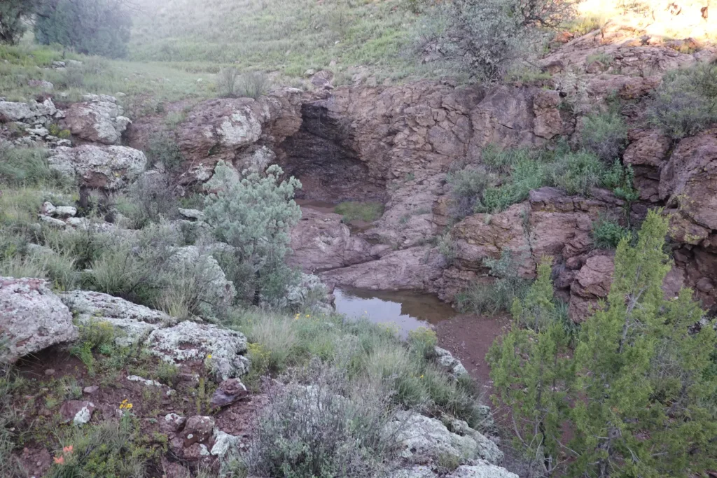
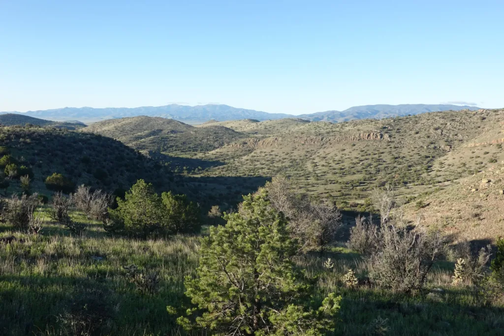
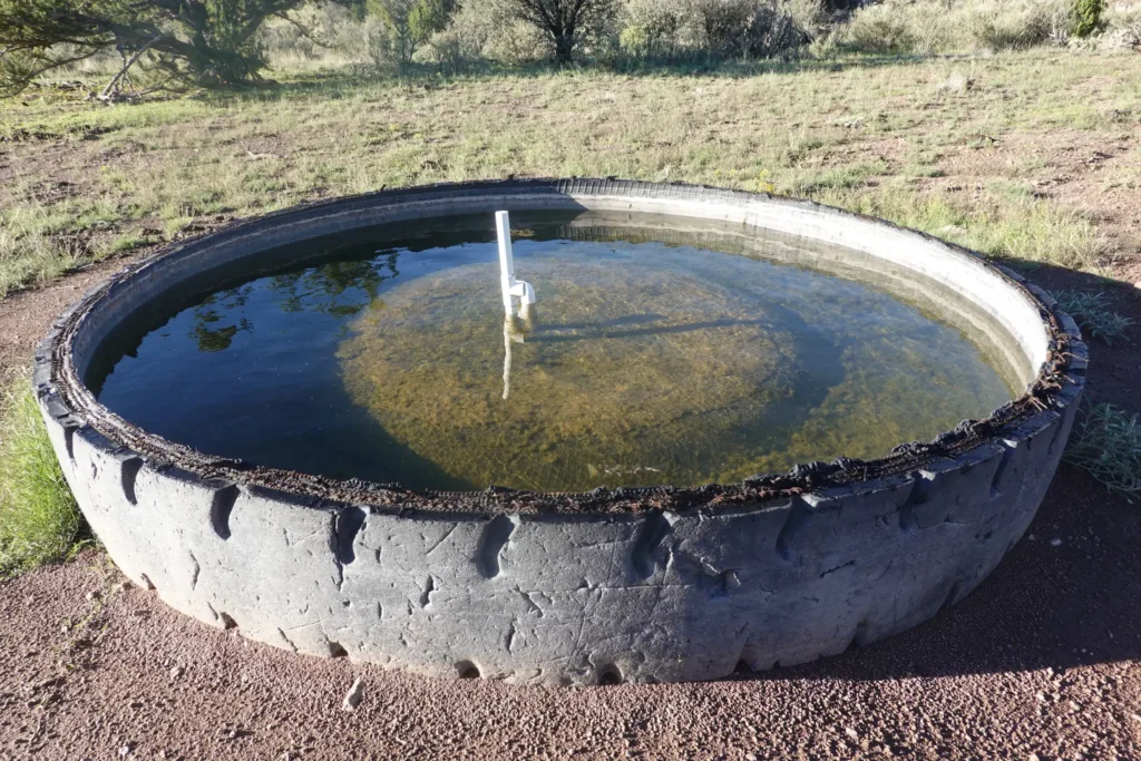
All in all, I enjoyed the scenery of the morning. It was not too hard, not spectacular, but just pleasant.
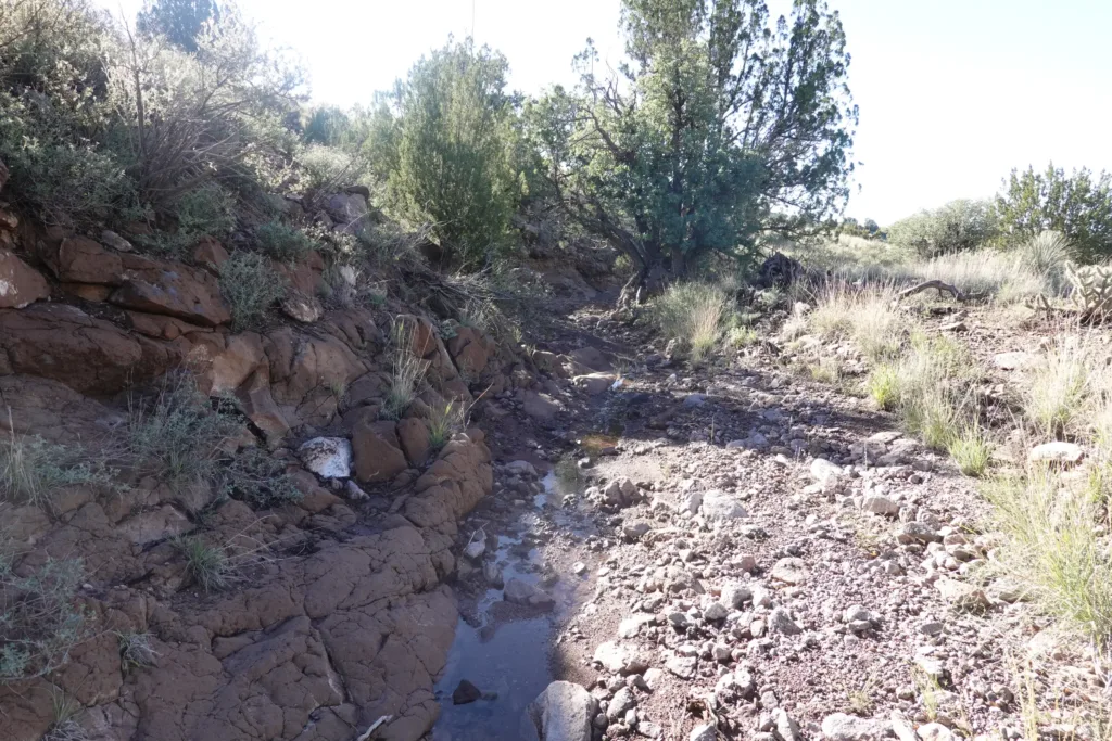
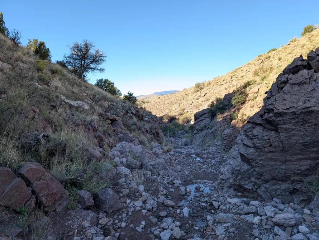
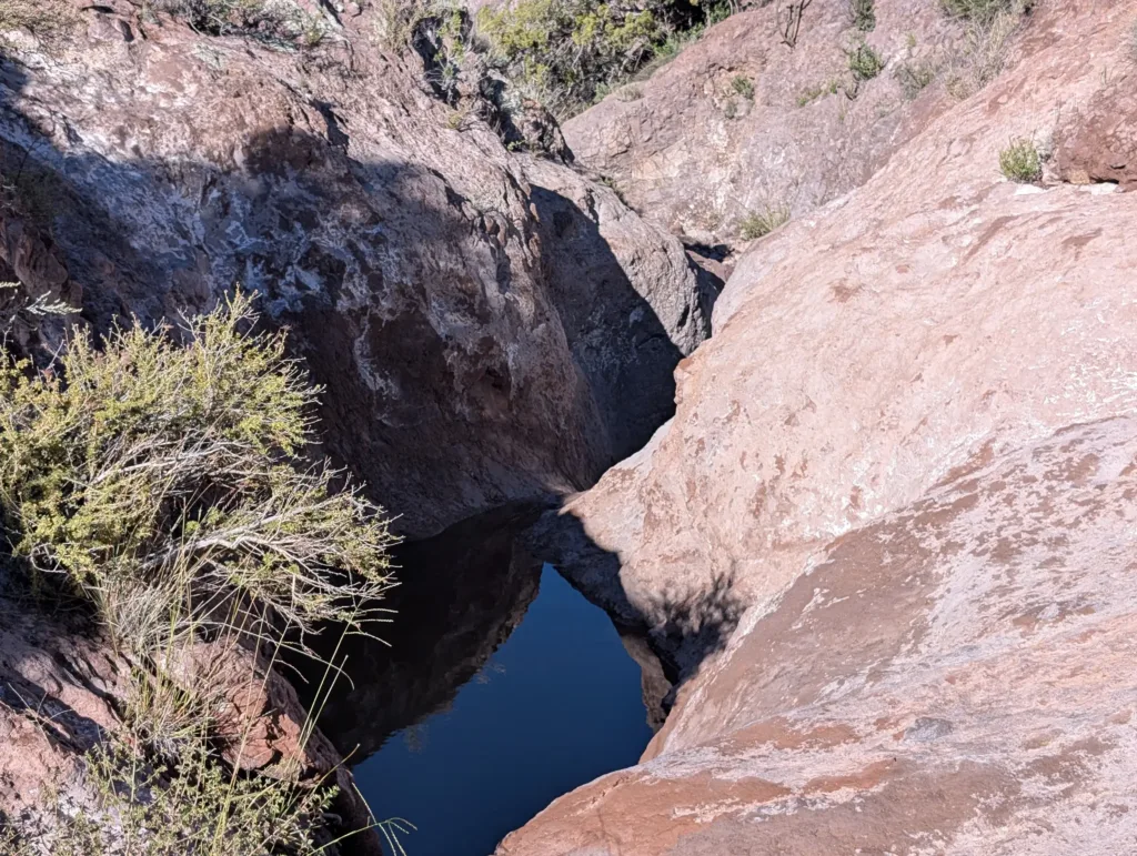
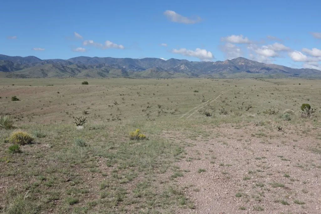
I broke out of the hills and crossed a dirt road artery. Ground it out for a few miles on flat barren land to cross some private land.
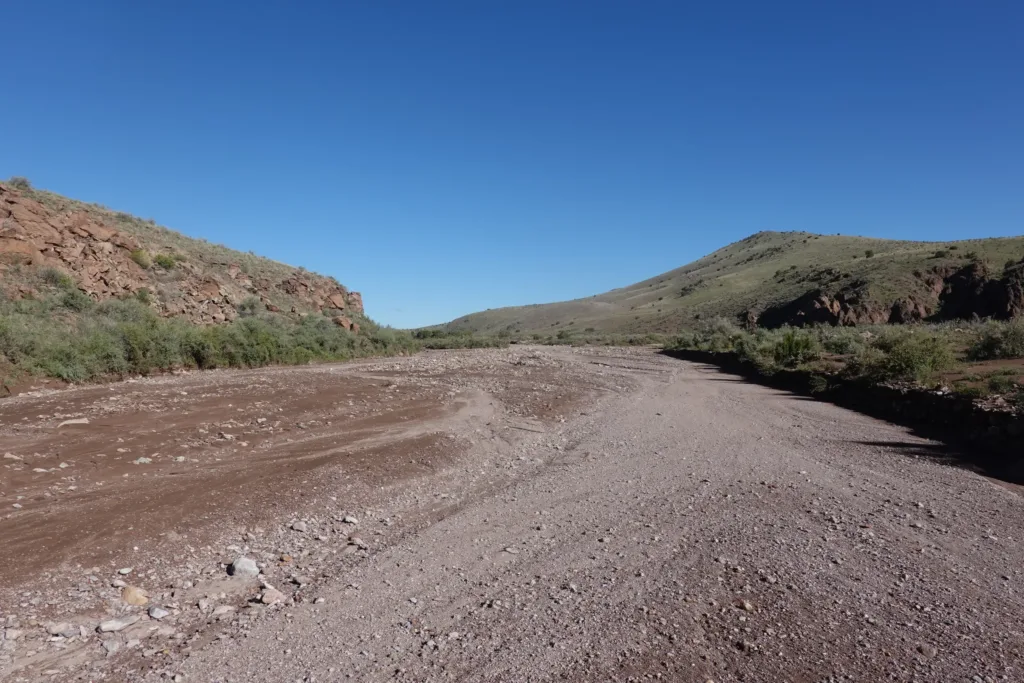
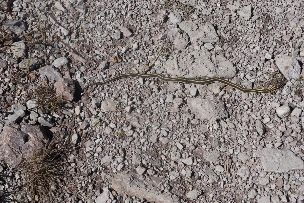
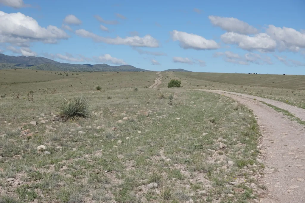
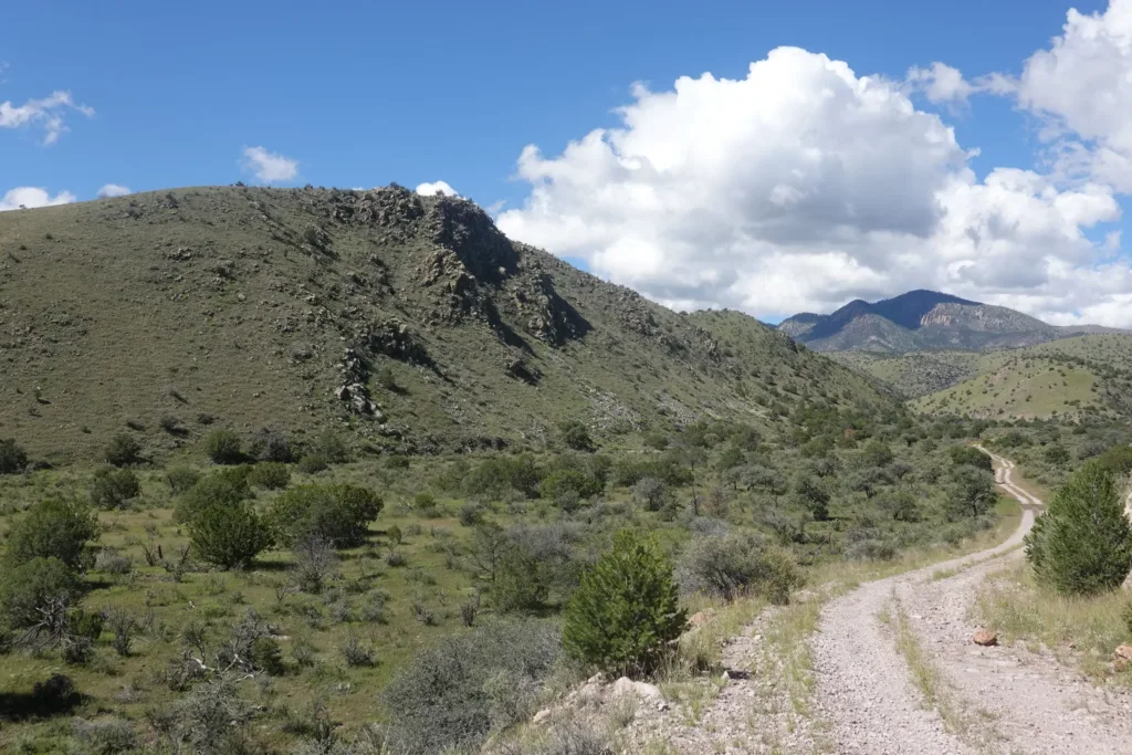
Once I hit National Forest again, the route took me straight cross-country, where I crossed over some ridges and was deposited in a wash I would follow to its headwaters for the rest of the day.
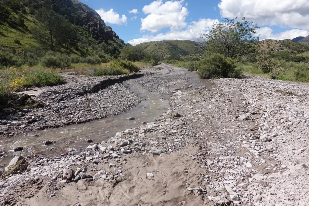
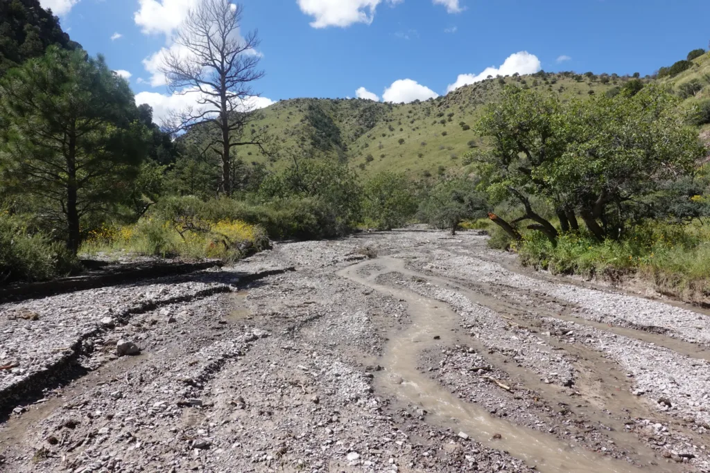
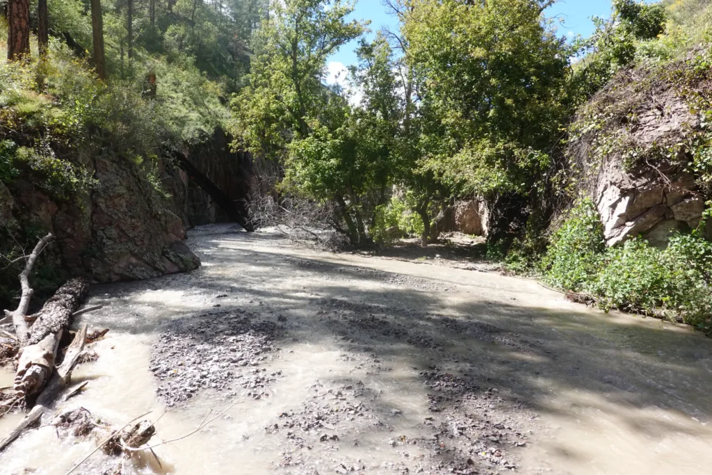
When I got to the wash, it was flowing, though the water was muddy. Like everything else, this is normally dry, so I was interested to see how far the water would stay flowing so I could avoid carrying water while walking up it. The normal water supply in this area is a solar well, but I had no need to visit today.
The sides closed in on the wash, but the wash stayed as wide as it could.
I turned off into a side wash for Potato Canyon. The water turned with me. The wash stayed very wide, with trees just sprouting up straight from it. The gradient was low, so the going was fairly easy, though there were some downed trees and other obstacles to avoid on occasion.
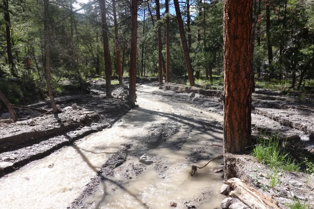
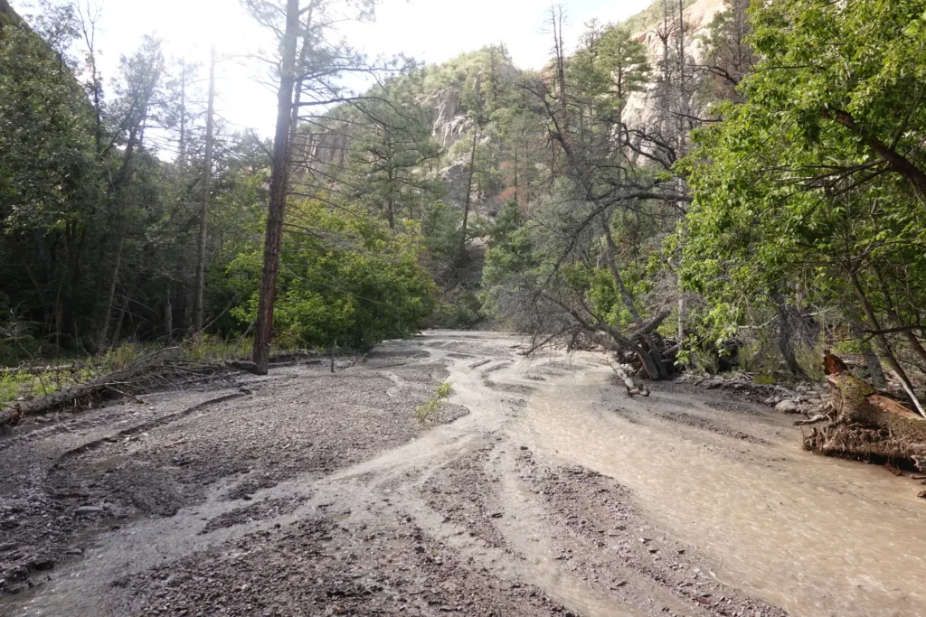
I made good progress up the wash, and got to a point where I could either continue up the wash or take an old trail bypass. If anything, the flow rate was increasing as I headed upstream. The trail notes said there were pourovers in the wash, so I opted for the bypass route, figuring the pourovers could be wet or difficult or impossible with water flowing.
The trails in this canyon exist but aren’t maintained and are rarely travelled, so they were challenging to pick out and stay on. The bypass went steeply around the narrow section. I did get a glimpse of it from above, and it definitely would have been impassable, with water rushing down chutes. I’m not going up that.
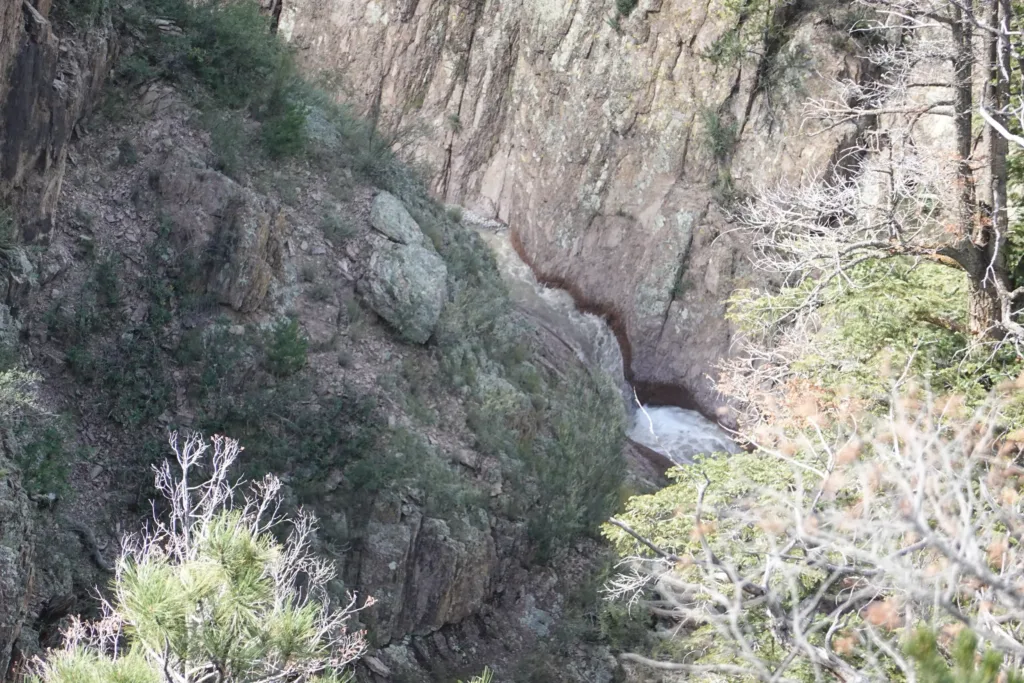
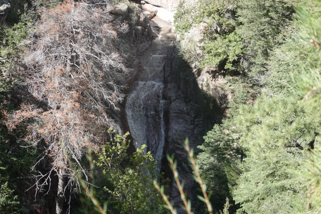
After rejoining the wash, it shortly separated into Water Canyon and Potato Canyon. Unsurprisingly, all of the water was coming from Water Canyon, and Potato Canyon had just a trickle of clear water coming out of it.
Heading up Potato Canyon, the water soon stopped. I thought about playing that game where I keep hiking and see if it starts up again, but then I would be constantly searching for water and second guessing myself. I decided to just grab 6 liters and be done with it. A heavy load on top of my already heavy food bag.
I made slower progress with the load. It was 3 something, and I could either camp here and go up the rest of the climb lighter in the morning, or I could just do the climb now to check it off. I knew it was going to be a doozie since it was through a burn area with barely visible trail.
Since it was so early, I decided that I had plenty of time to make it the remaining 1500 feet or so to the top, even if I went slow. How hard could it be?
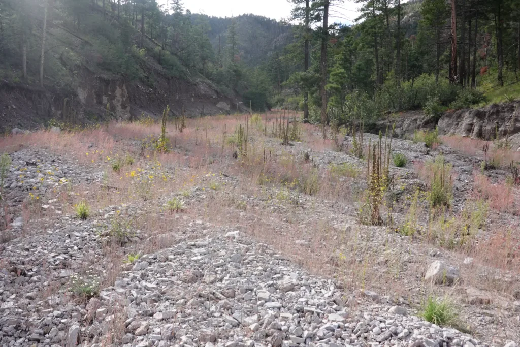
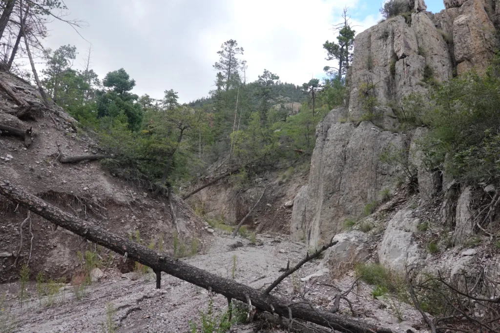
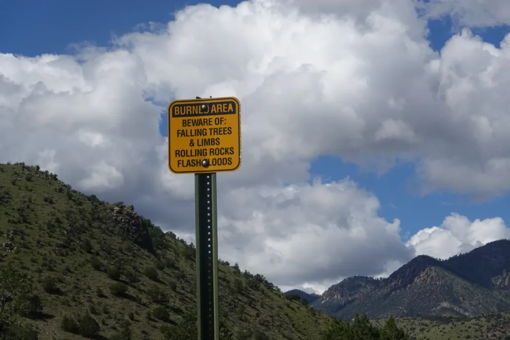
With this area being recently burned, there was a lot of erosion along the wash I was walking. The walls were often steep dirt, and at some point the remnant of the trail probably just appears at the top of one of these cliffs. I decided to cut uphill early to make sure I got to the trail since the walls looked steep for a while. No easy feat since the ground was gouged out with numerous ravines newly formed since the fire.
I picked my way across and eventually found the trail which was very faint and appeared and disappeared. I followed it and lost it a few times, constantly looking at my GPS to see where it wandered off. I eventually gave up and just went back to the wash which it would cross again, and managed to intersect it further up.
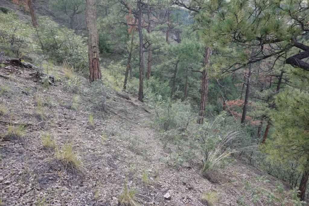
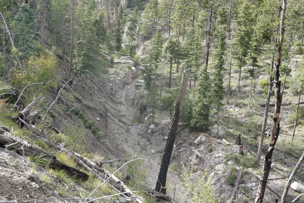
At this point, the trail did become a bit more defined, and was not hard to follow, though it is obvious that probably only hikers on the GET ever hike it. The trail switchbacked straight up the rest of the mountain. By this point I was dragging hard with my heavy food and water load, and being at the end of a 20 mile day, and climbing up to nearly 10000 feet. It was really slow and I had to take many quick breaks, but I checked off the switchbacks.
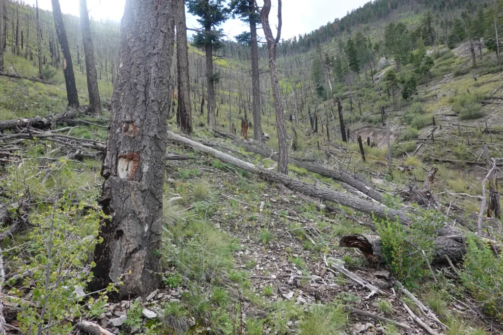
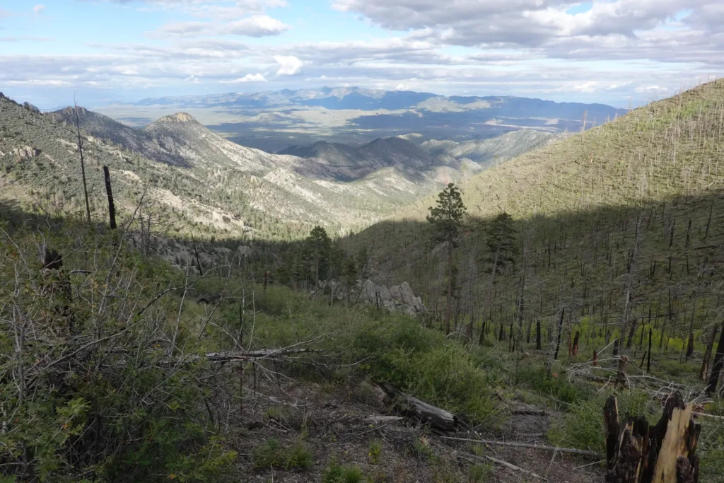
At long last I made it to the top to much excitement. It was a little windy at the trailhead, but it appeared it would be the flatest place for a while, so I set up camp to relax after my hard day.
Definitely a bit chillier up here, and I had to layer up almost immediately. Oh well, it is nice to have that hairy climb behind me. Hopefully tomorrow is a bit easier.