
Start: Sevilleta Land Grant
Finish: Rio Grande
Miles: 24.56 / 139.41 total
Ascent: 755 feet
The forecast said it was supposed to storm last night, and storm it did. In the middle of the night, the wind picked up and then yet another thunderstorm rolled through. It didn’t last too long, but I think I have already encountered more thunderstorms here than I have at home in the past 5 years.
The wind kept up overnight which at least meant that my tent was mostly dry by the time I got up. As if it didn’t even happen.
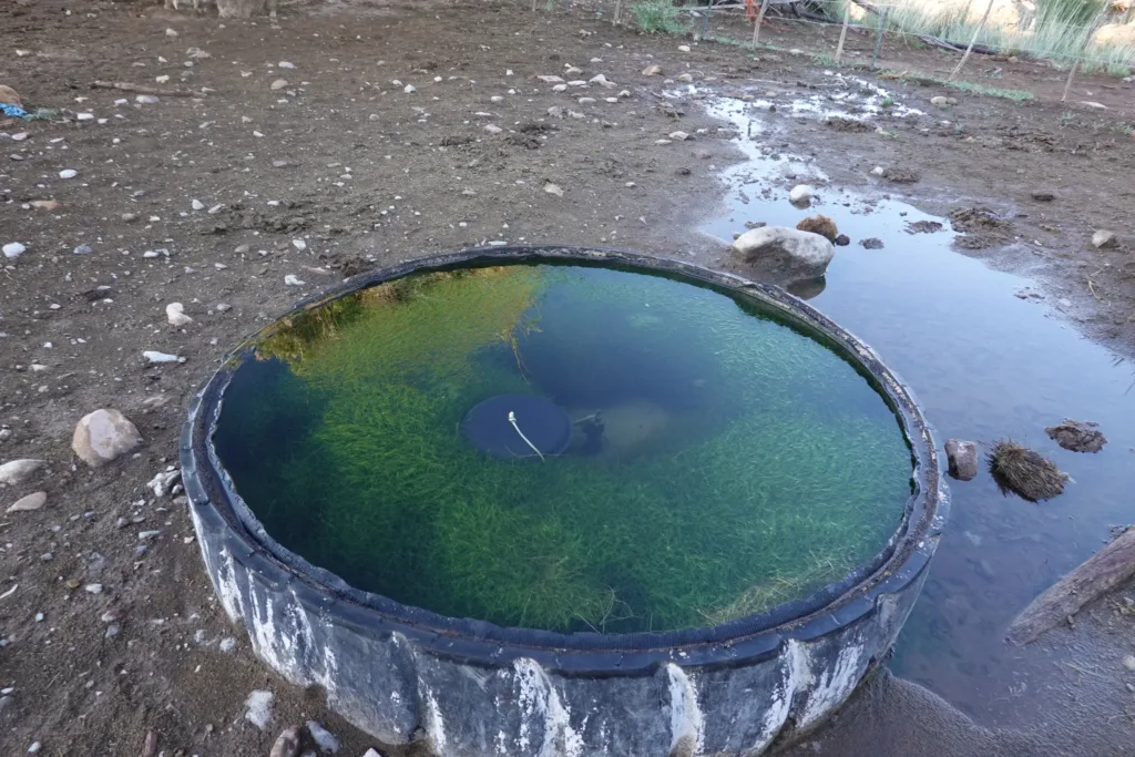
I continued through ranchland, and I finally had to collect some water from a tire cow trough. At least it had a bunch of seaweed growing in it which is always a good sign. And no brown masses I could see which is a rarity.
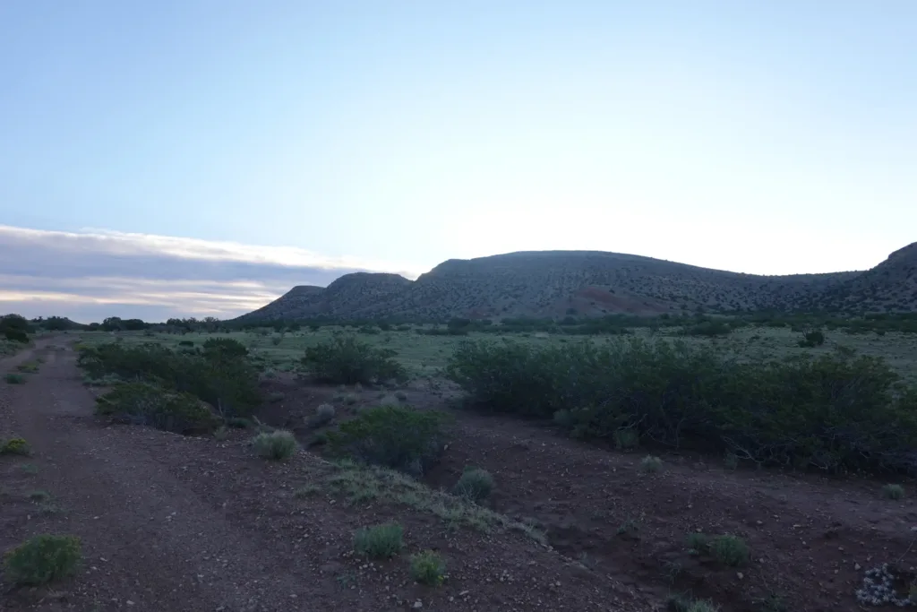
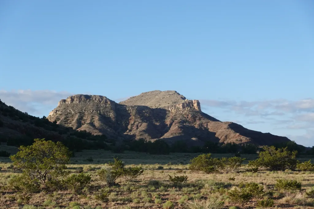
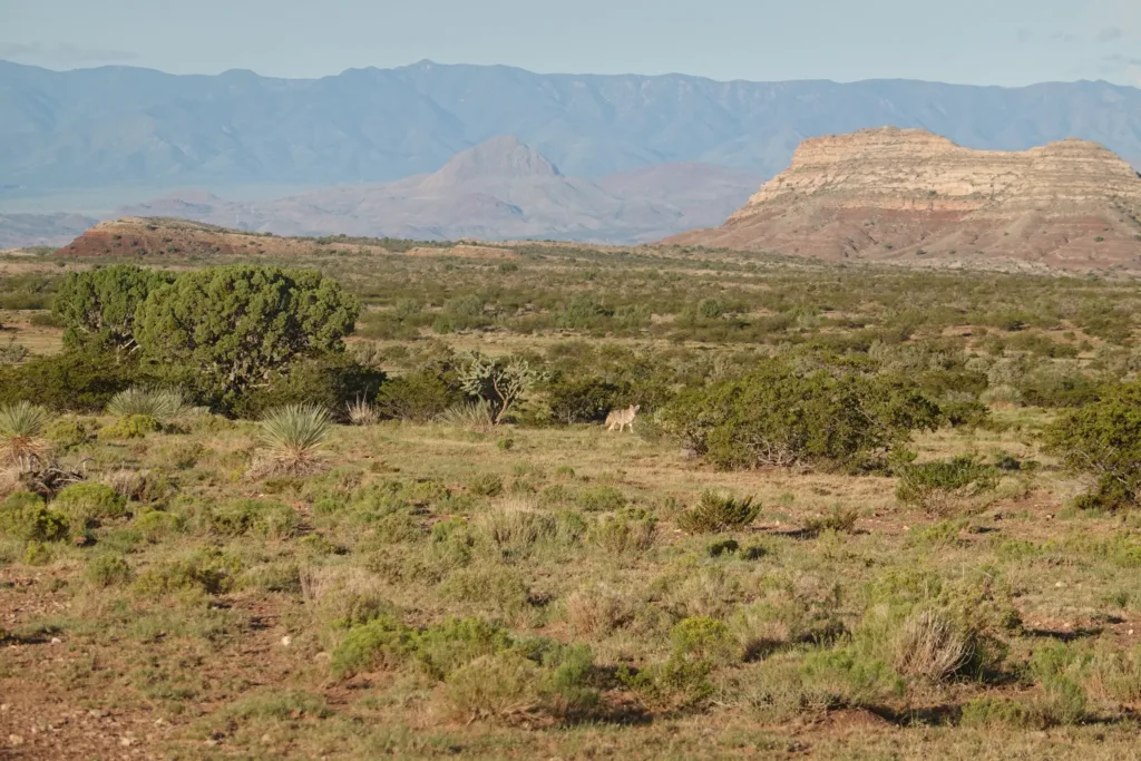
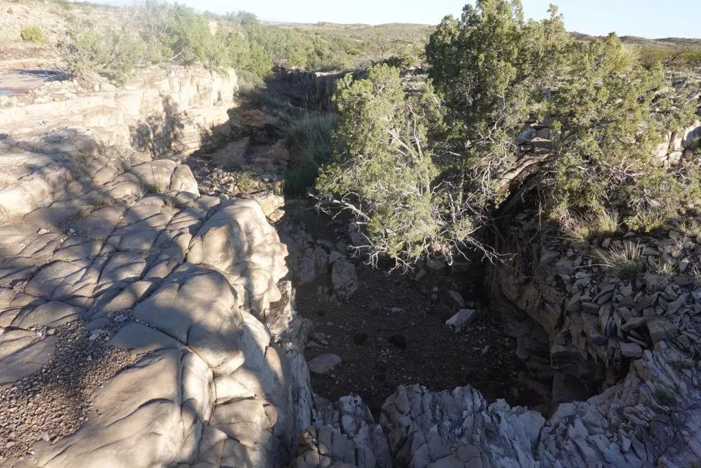
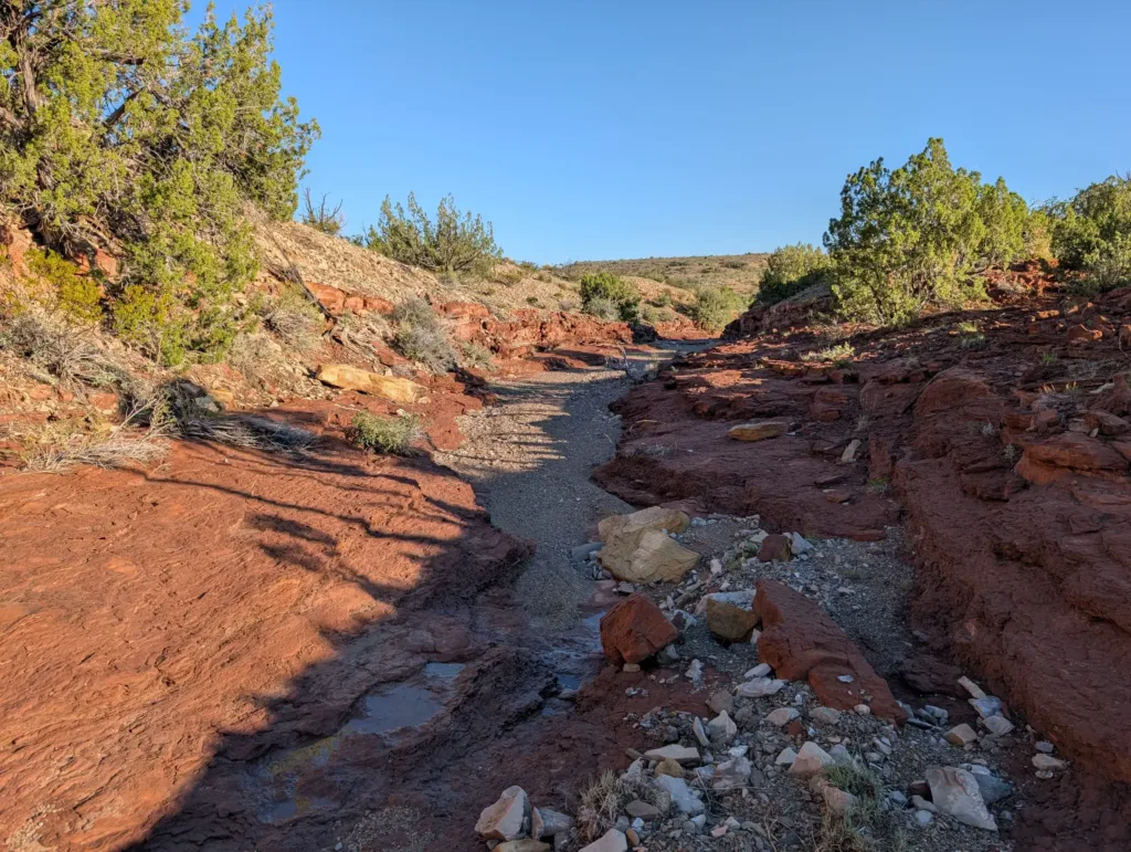
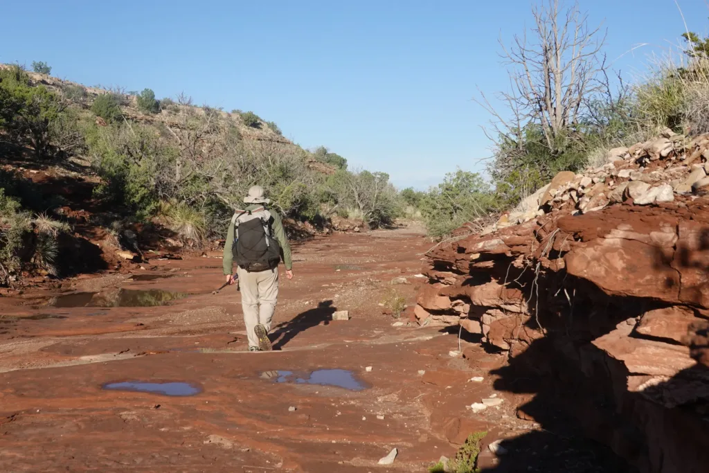
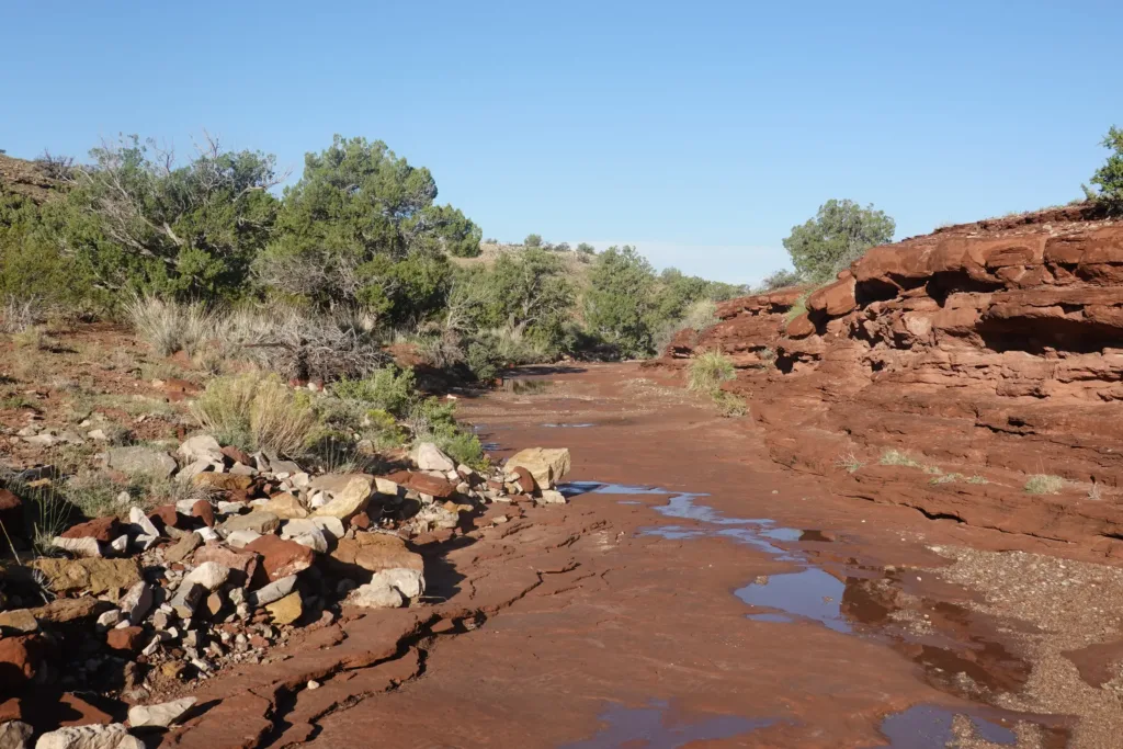
The route shortly turned off the road and followed a wash for a few miles this time. There were even some pourovers to negotiate. I thoroughly enjoyed the scenery and experience, but it was too short lived and I ended up back on 4×4 track.
I reached the point where I would have to decide between fording the Rio Grande and crossing it on a bridge. As an engineer, I’ve been studying the numbers and took one last look at the 500cfs flow rate and easily made the choice to use the bridge. From what I was able to tell, past successful fords earlier this year were an order of magnitude lower flow rate.
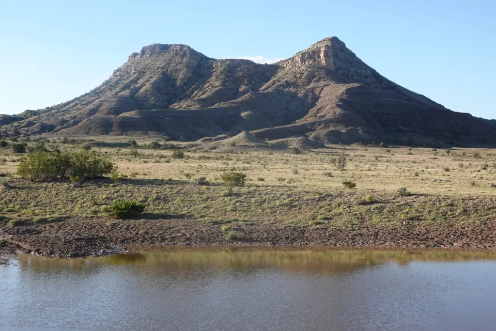
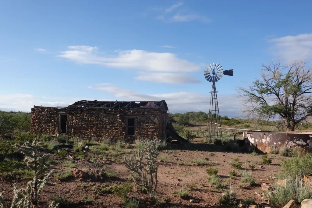
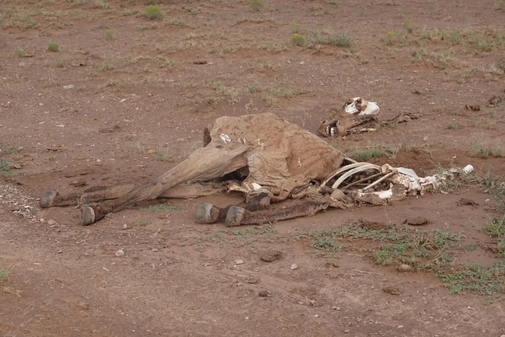
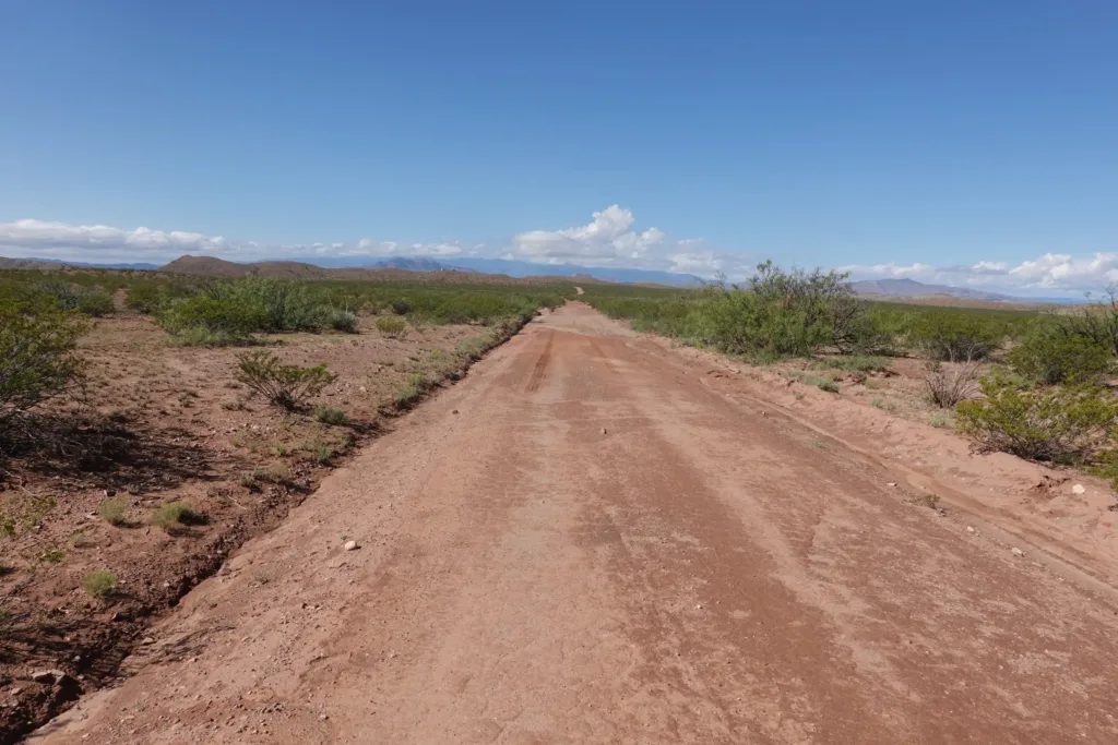
Soon after negotiating a fence no one intended to be crossed, I joined a dirt road which would take me all the way to the Rio Grande. It turned out to be fairly scenic though. The road has history hundreds of years in the past since the Spanish used it in their colonial days. It held to a high ridge, touching each pass between the small hills on it. You don’t often see a road routed like that; that’s how trails work.
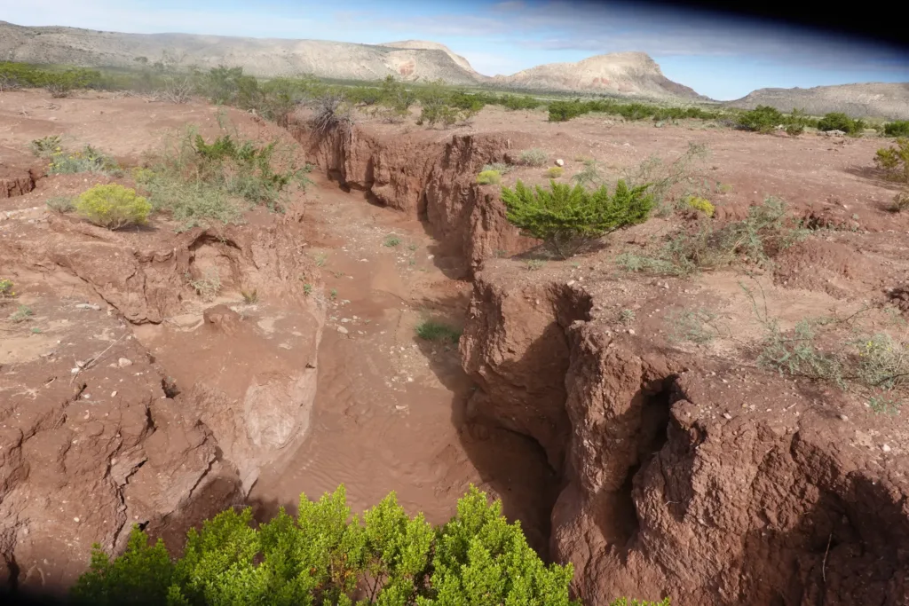
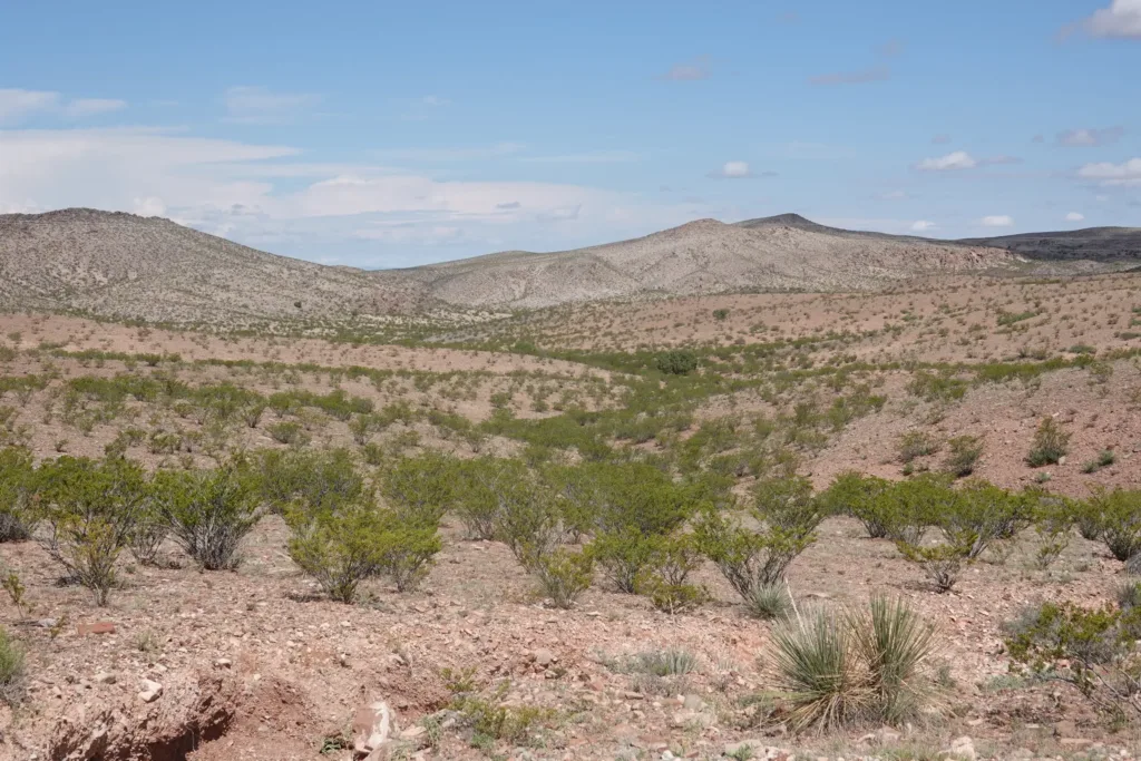
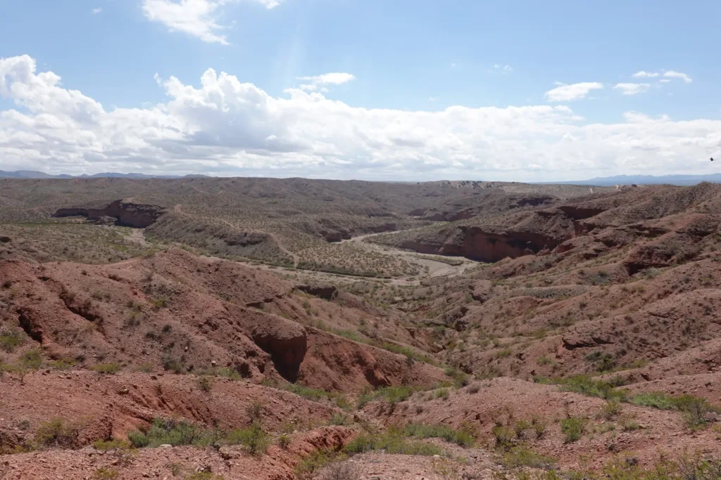
I could see long distances on either side of me from the road, and especially to the south there was some great canyon country with red rock cliffs. Quite scenic.
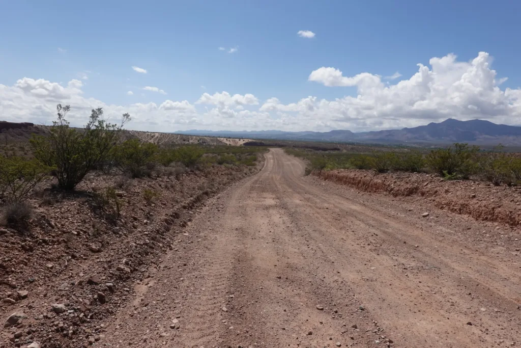
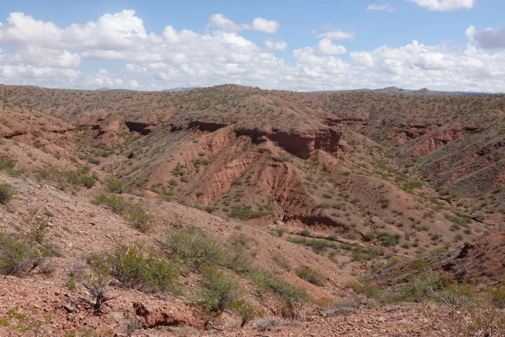
testThen I finished the descent and got into some sandy flats. The day was warm and the sun beating, but I pushed through it and shortly arrived at the Rio Grande. Yep, definitely made the right decision on the bridge crossing. There would be no way without me swimming through the liquid mud. No thanks. I even said hi to the water level gage I had been watching online to make my decision.
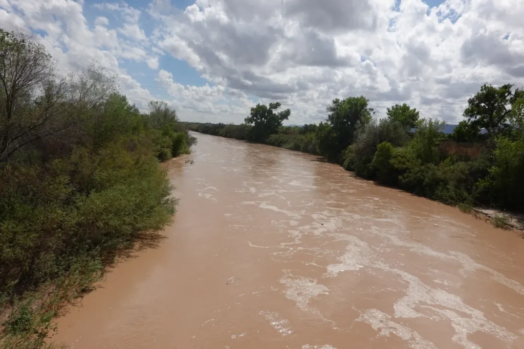
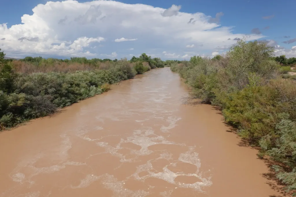
I took a break at a park on the other side to rehydrate and rest my feet. I’m using new shoes on this trail since no shoe company can make the same shoe for more than a year or so. I’m using an “upgraded” version of the shoes I used on the PCT and it is noticeably tighter, giving my toes too much of a hug. Tried some alternate lacing and I might just have to do shoes off breaks. Will see.
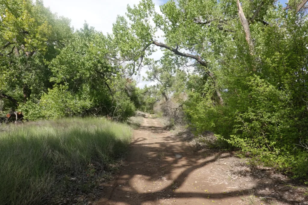
During this time, there were a lot of storms off to the west and north, but I could only see blue skies and small clouds coming towards me. My lucky day.
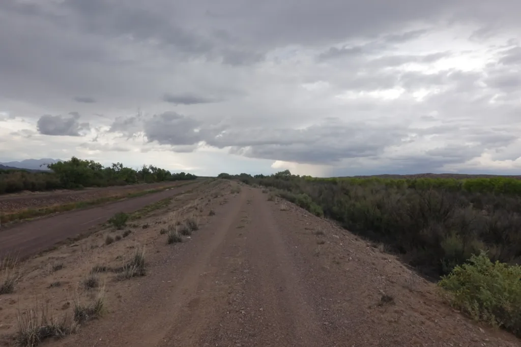
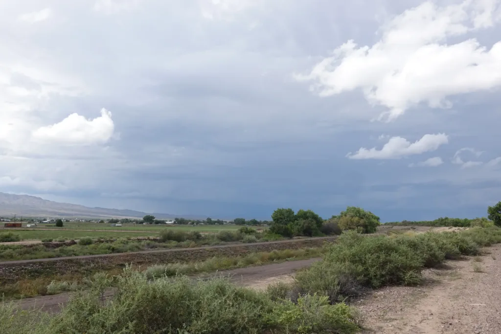
I pulled off the levee at my planned stopping point of a picnic area that looked abandoned. It’s out of the way, so I’m sure it will be fine to set up here.