
Start: Head of Potato Canyon
Finish: Cub Spring
Miles: 21.82 / 234.4 total
Ascent: 4330 feet
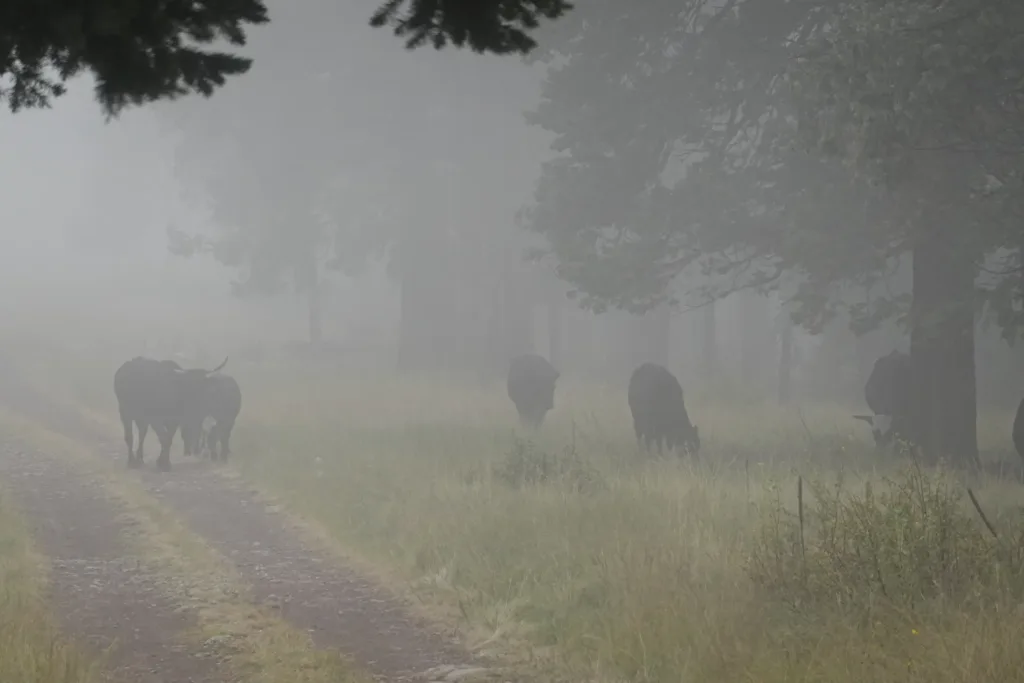
I awoke in the clouds, and couldn’t see more than 100 yards. That put a bit of a damper on running the ridge that I worked so hard to climb yesterday. It’s never worth waiting since it could be like this all day, so I packed up and headed out.
There was a road on the ridge that linked together two fire lookout towers, at either end of the ridge. The road was rough for a car, but made for easy hiking. I just couldn’t see anything through the clouds. Once I dropped below them briefly, but then the road took me quickly back above. I shall not see anything!
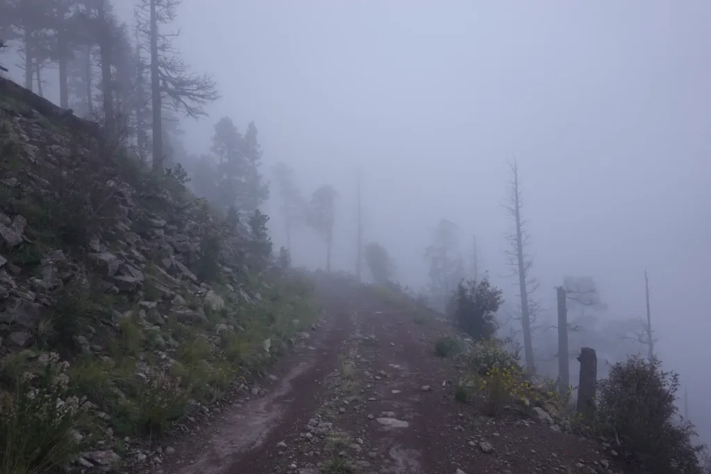
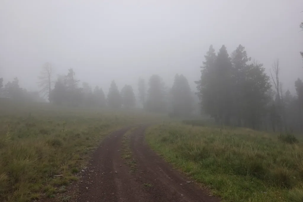
It was windy on the ridge as well, producing what I call fog rain where the cloud condenses on the trees, and the wind blows the drops down, almost as if it is a light rain.
I pounded out the roadwalk on the ridge since there was nothing else to do.
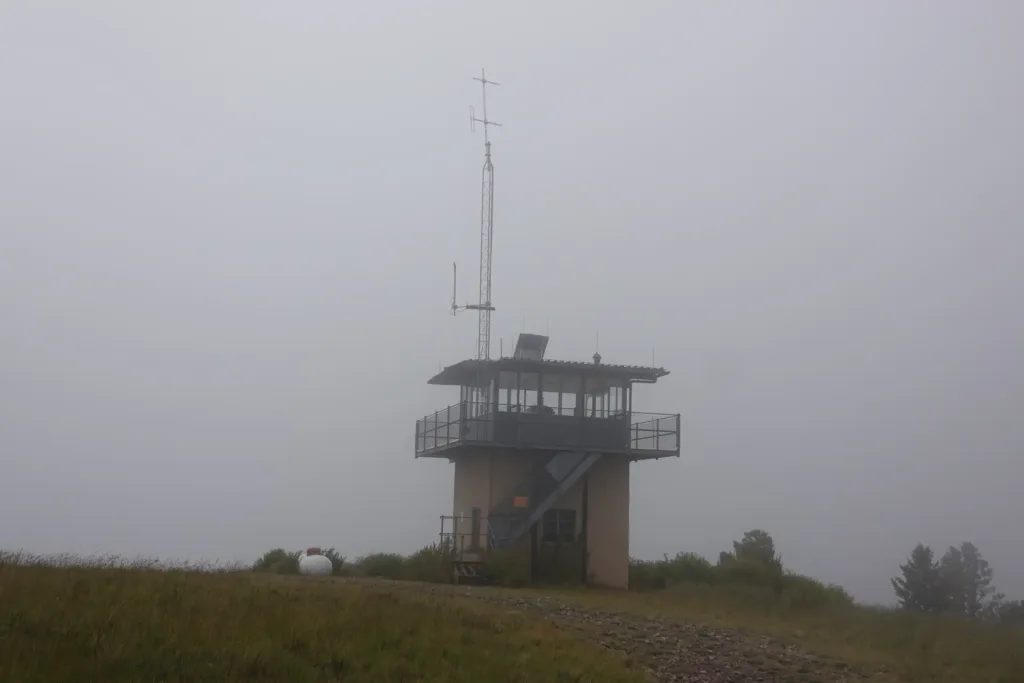
At the far end I got to the Grassy Lookout Tower. It was locked up and no one was there. I was hopeful for a trash can, but there were no facilities. Oh well.
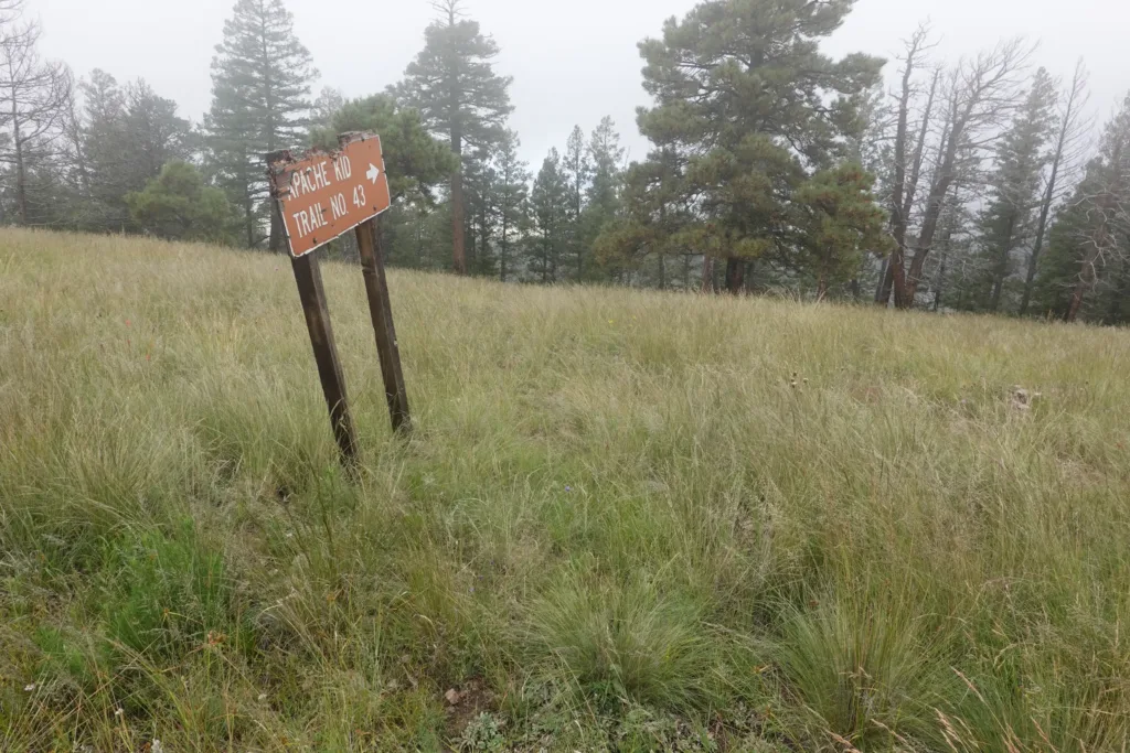
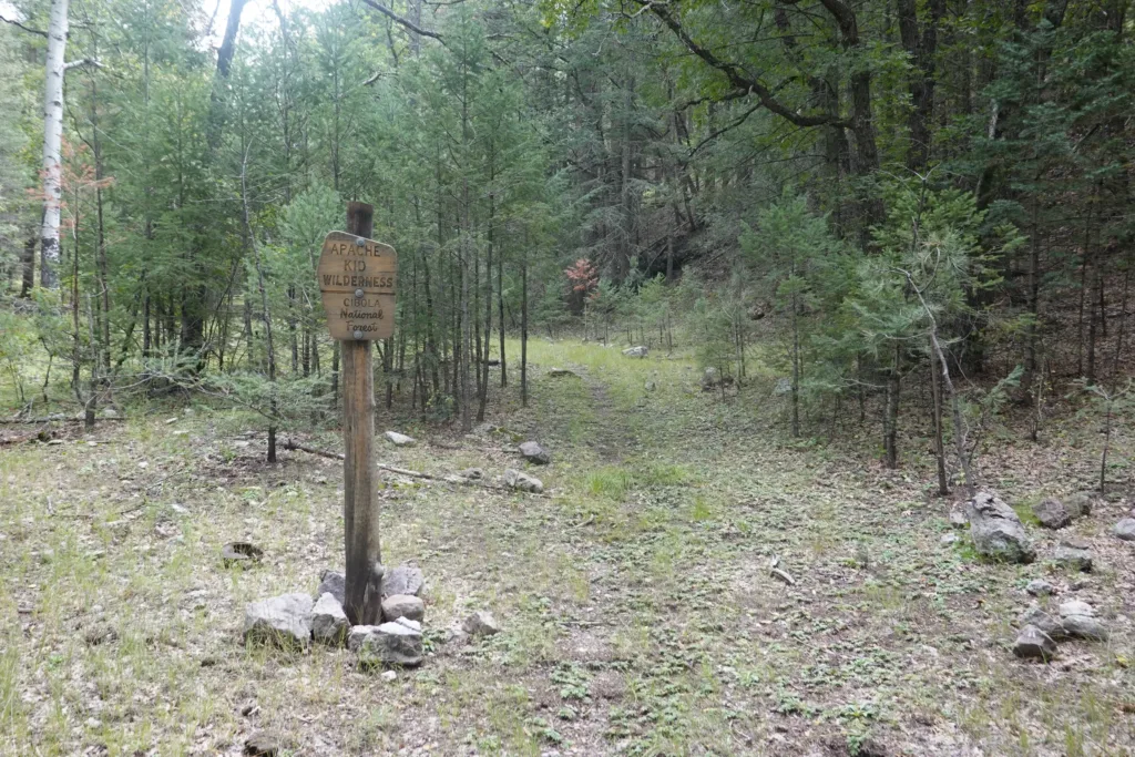
I turned off onto the Apache Kid trail, which at first glance wasn’t much of a trail. If the sign hasn’t been pointed directly at it, I never would have seen it. Even then, you had to squint a bit and push the I believe button.
The trail started a long descent off the ridge I had been on. The trail appeared and disappeared, and I had to keep a really sharp eye just to try to stay on it.
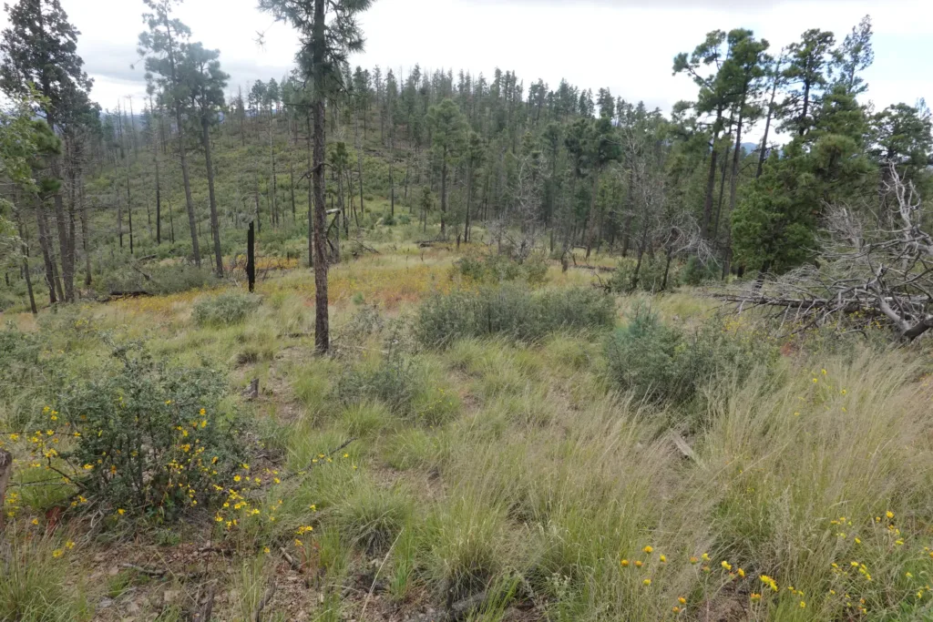
The further I went the more it disappeared. It didn’t seem that worthwhile to fight to stay on the trail, so I looked at my map to see if I could just make it up and head towards where the trail would dump me out in a canyon. I thought I could just head straight down to a wash and follow it out. I pushed my way through mesquite and other thorny bushes and gained the wash which was way travel.
I worked my way down the wash for a while, and glanced at my GPS when I noticed I was off track. The wash would have worked, but I missed that I would have needed to go over a minor saddle and not just straight down the wash that I was in. That meant that I now had a ridge between me and my destination canyon, with nothing to do but climb up and over the ridge to where I wanted to go.
I do like off trail travel, but uphill is a lot harder than downhill. I eventually made my way back and hooked up with the trail which dropped me into the correct canyon, Indian Canyon.
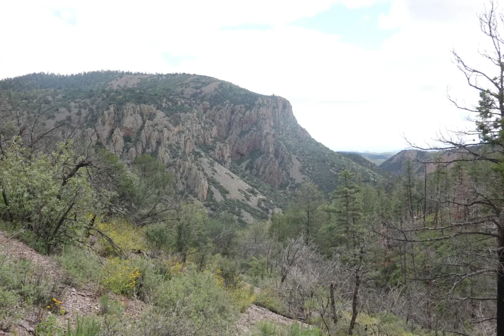
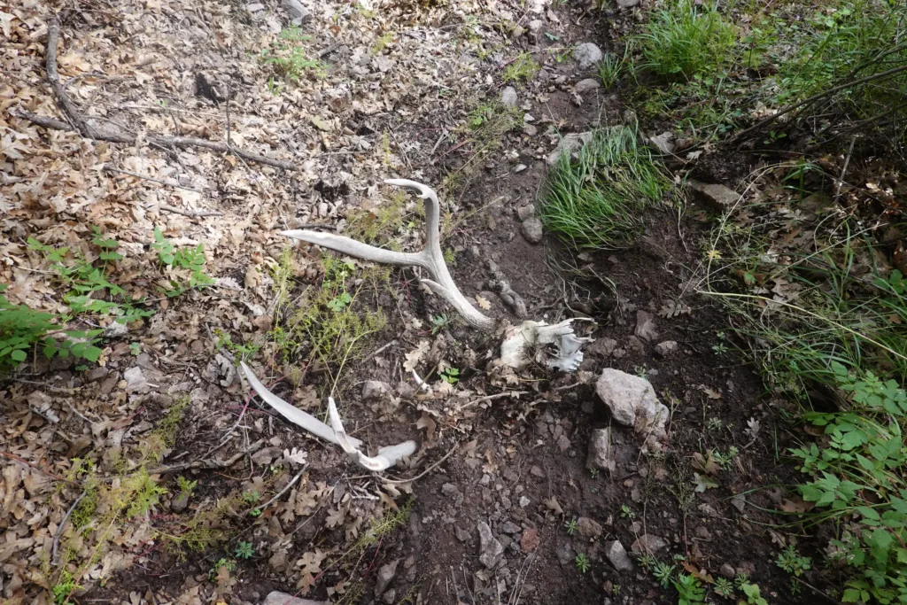
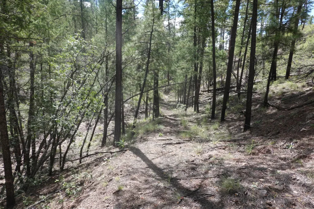
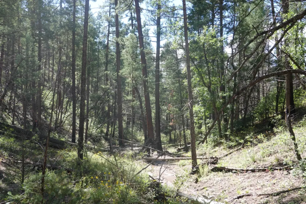
There was water in this canyon almost the whole way, whereas it is typically dry with a single possible spring. The canyon was a really nice easy walk downhill. There was nothing too special about it; it was treed in and there weren’t many views, but it was quite and peaceful and made for some really pleasant hiking. The big ponderosa pine helped as well.
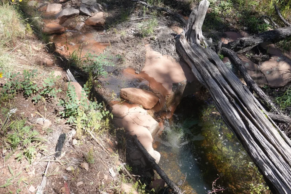
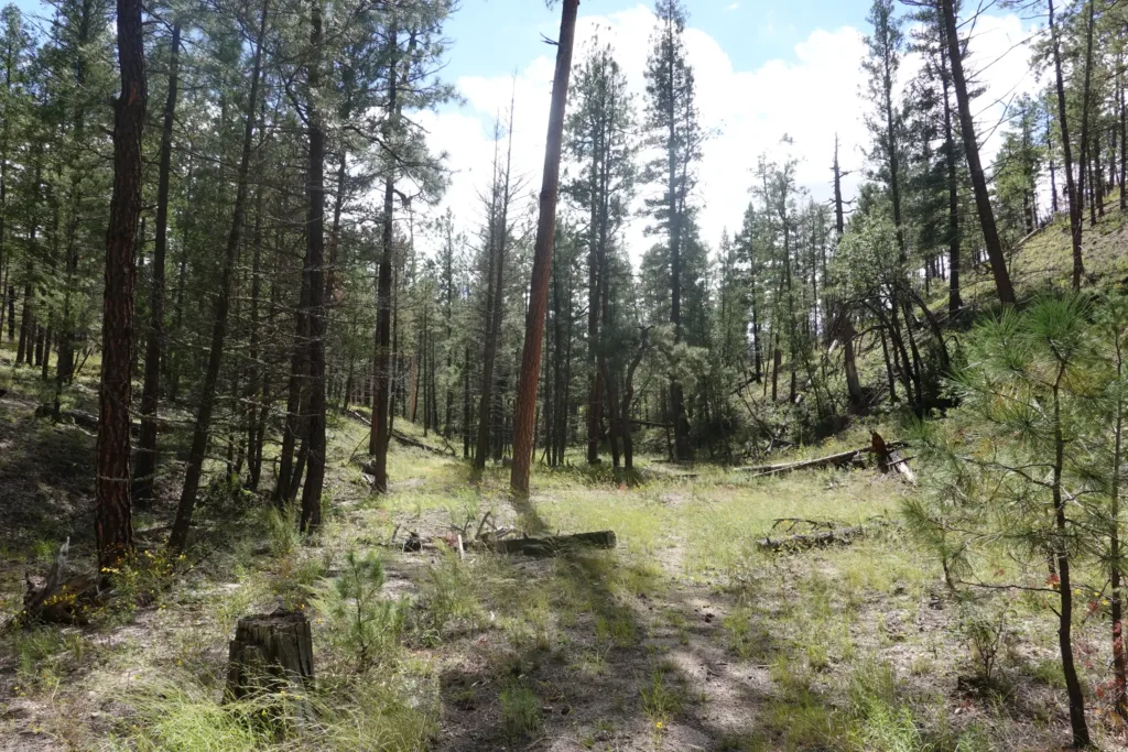
I enjoyed the canyon so much that the miles just flew right by and before I knew it I was dumped out its end.
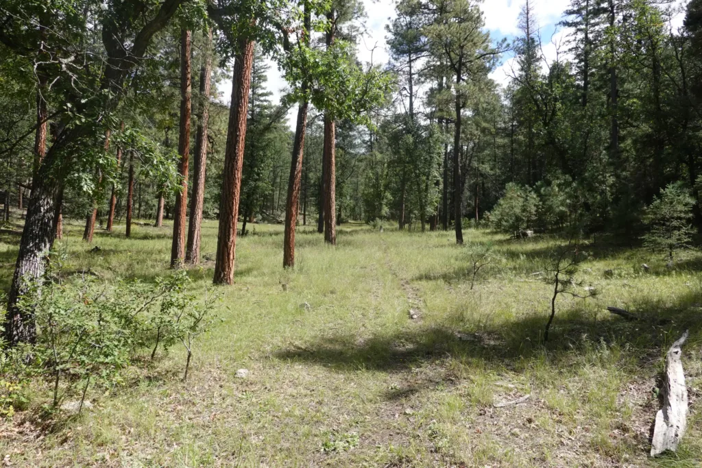
Over a small saddle on a former trail, and then I hooked up with single track heading up Water Canyon. This trail was like actual trail. It wasn’t used much, but had a defined treadway that made following it a breeze. It followed a stream up the wide valley, meandering from side to side. Big trees in the valley too, including the biggest oaks I’ve seen on this trail.
Just like Indian Canyon, it was also a really pleasant hike.
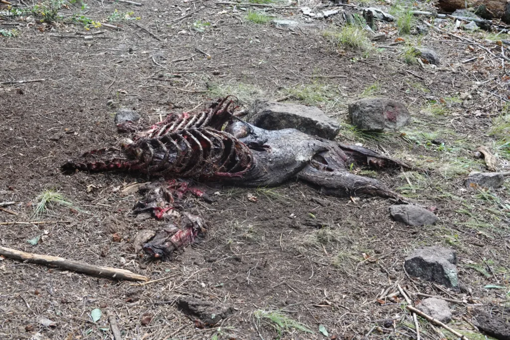
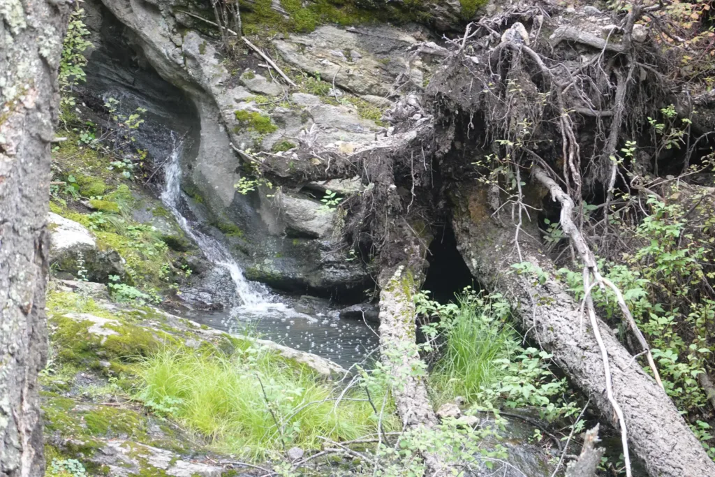
I had some decisions to make though. It was unclear when the water would stop going uphill, so I just grabbed water at the beginning. I also had to decide where to camp. I didn’t really want a repeat of yesterday with dragging a huge amount of water up a mountain. However, it was too early to camp in the bottom of the canyon, though it would have been nice to.
There were 2 options for water continuing forward. One spring on a side trail at the very top that probably had water, or another spring on the other side of the mountain. Since I had options, I just carried water to get me over the mountain, to give me options.
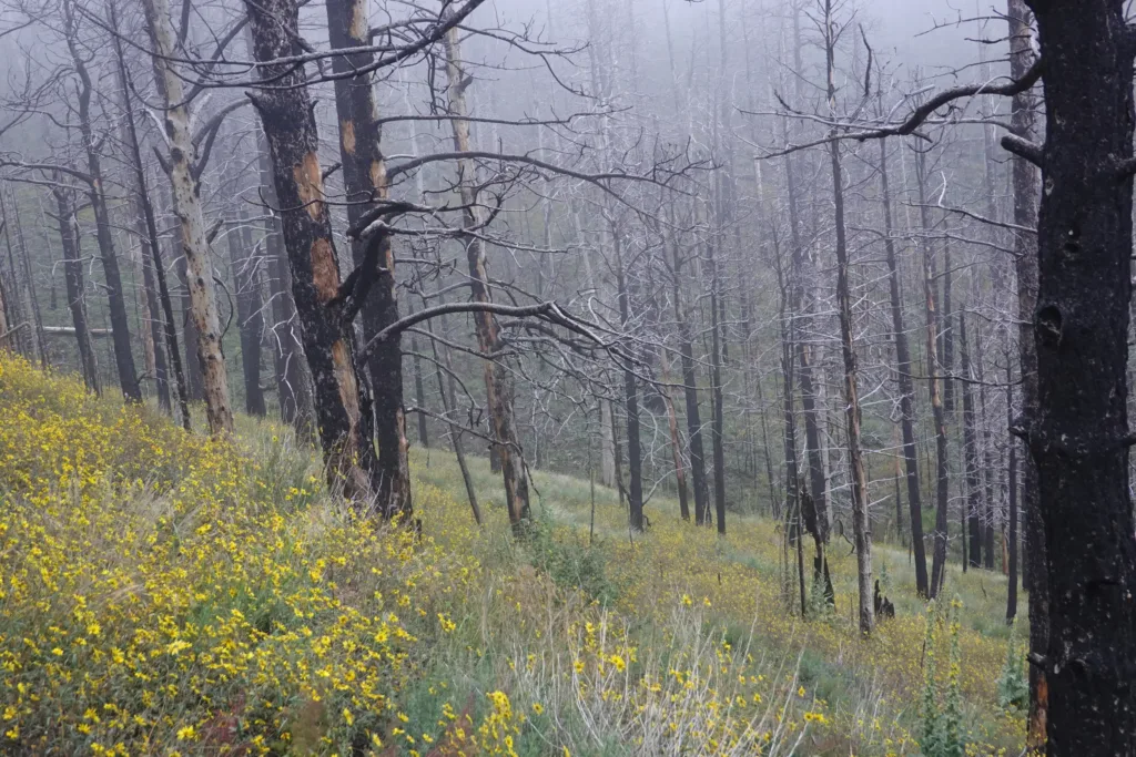
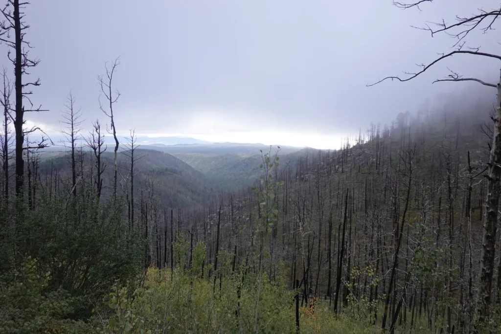
The pleasantness of the valley had to come to an end, and the trail got steeper to make up for time. The trail also entered a burn area where there were lots of blowdowns. People had obviously been through to clean up the trail, but it looks like it has been a few years since the last time that happened.
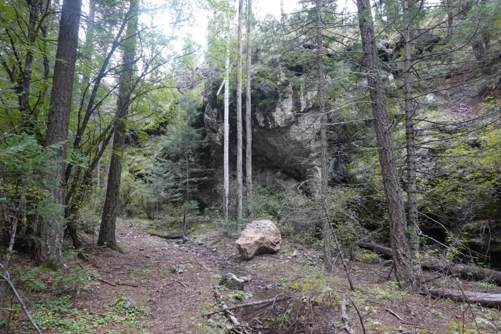
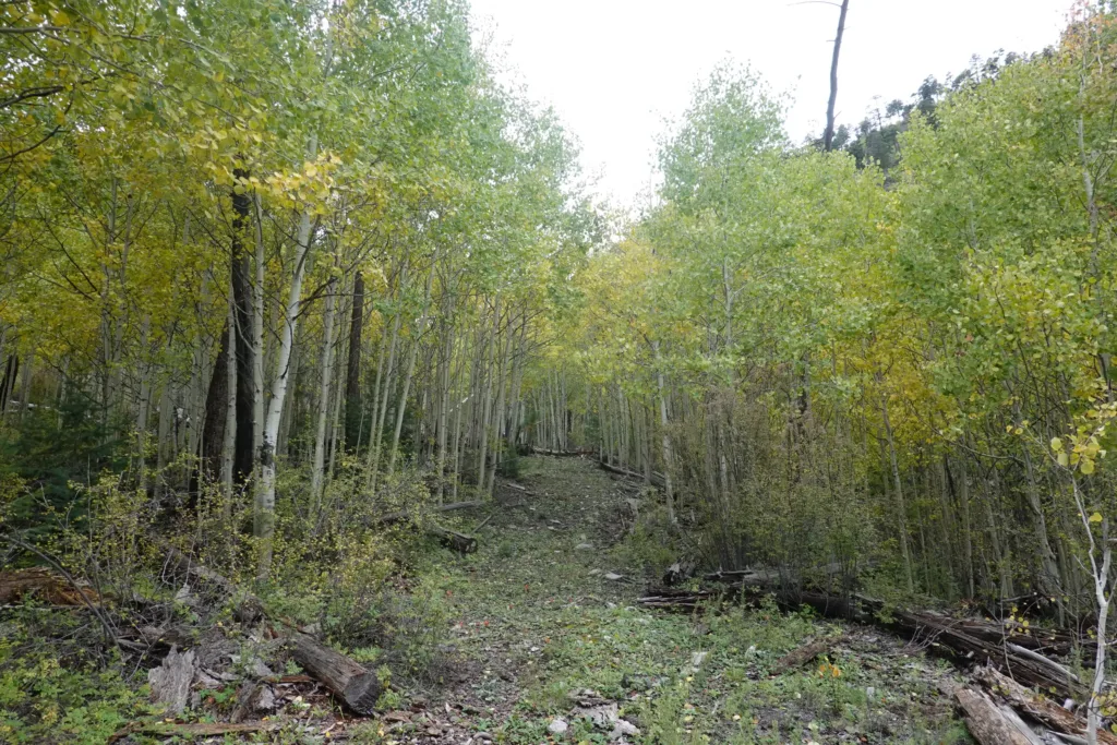
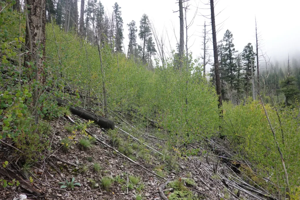
Parts of the trail disappeared under blowdowns and overgrowth, but I still managed forward progress, if barely. I had plenty of time to get to the top, you just have to pick away at these sometimes.
I wound back and forth getting over all the downed trees and past the thorn bushes, and at long last the trail switchbacked uphill and became much more defined. Thank goodness.
The trail was still in a burn area though, so there were many blowdowns still, but at least it was easier to see where the trail was.
The top half of the climb went through thickets of Aspen, which are usually first to grow after a fire. Someone had thankfully cleared a corridor a few years back, so it was easy enough to follow, but there were still a ton of blowdowns. I was happy when I entered a patch of pines and crested the top of the climb. It was a mess getting through some of that.
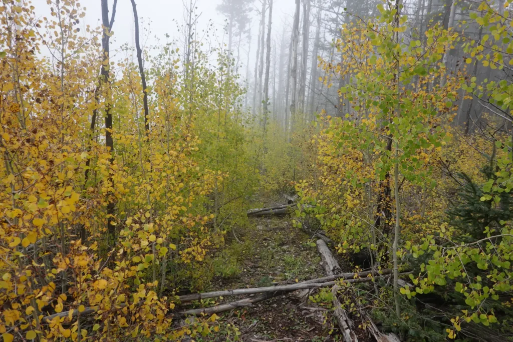
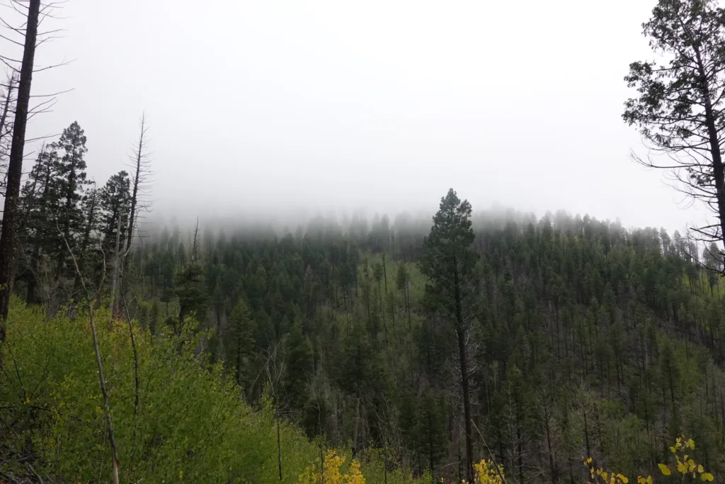
It was 5 when I hit the top. The spring further down trail was a bit far for the time, and I had no idea what condition the trail was in. So I decided to chance the 0.6 miles to Cub Spring on a side trail. There was more of the same Aspen thickets, but they were similarly cleared a while back, but now I was going flat to downhill so it was a bit faster.
I made it to Cub Spring which was gushing out the side of the mountain. A great water source, and surprising so high up on the mountain.
There was a nearby campsite, so that was good enough for me.
As I climbed the mountain, nearing the top I ascended again into the clouds. It was damp and windy, and I wouldn’t have really wanted to camp in that if I could avoid it. I knew that Cub Spring was about the elevation the clouds started on my climb, and that held true when I got to it, just below the clouds. They can always descend, but at least everything wasn’t soaking from the start.
I had wondered what all these burn areas I will have to pass through would be like. I did many on the PCT, but that trail is much more maintained than many of these trails. So far I have been able to manage, but I have many miles of them left to go.
The wind is howling tonight, but I’m sheltered next to a row of pines that escaped the fires. Going to be a chilly night at almost 10,000 feet.