
Start: Southern Crossing Trail
Finish: Red Canyon
Miles: 36.04 / 74.31 total
Ascent: 2380 feet
I didn’t know what today would bring. It could either be a long or a short day, but in any case it would be mostly roadwalking.
The National Forest here ends with a wall of reservation land and private property, though there is an unofficial route through. However, there is a wildfire where the National Forest resumes, so the risk of crossing non-public land would be moot unless the fire closure was lifted. The fire seems to be on its last legs, but that doesn’t mean the forest will immediately be reopened.
So, I set off with my headlamp on just before it was light enough to walk, aiming to hit the road at first light. The road did have a great wide shoulder when I got to it which was a pleasant surprise.
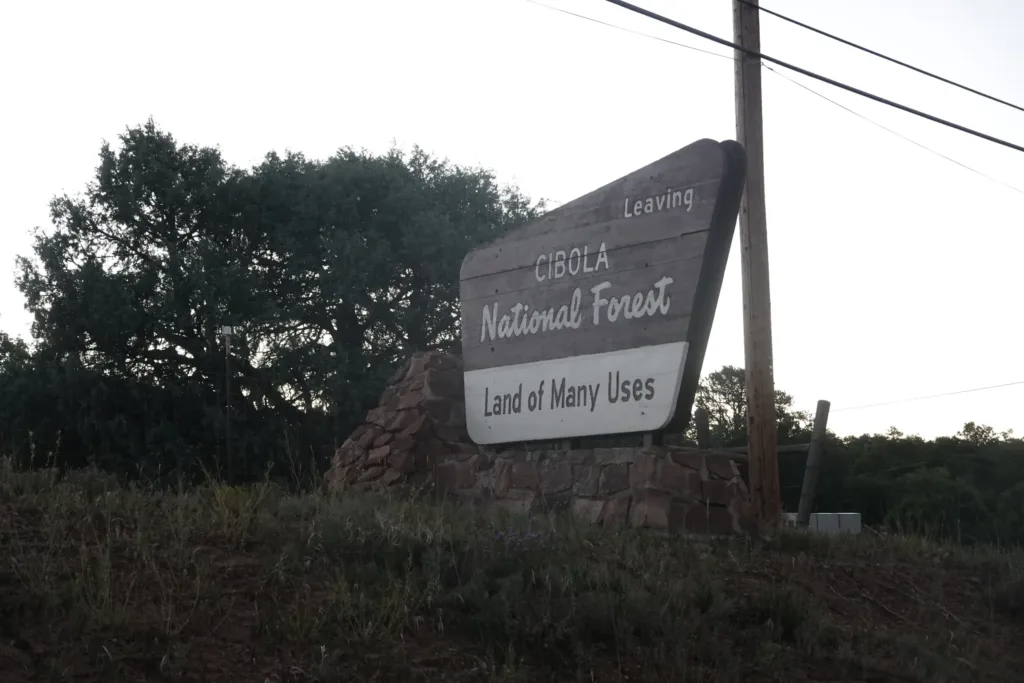
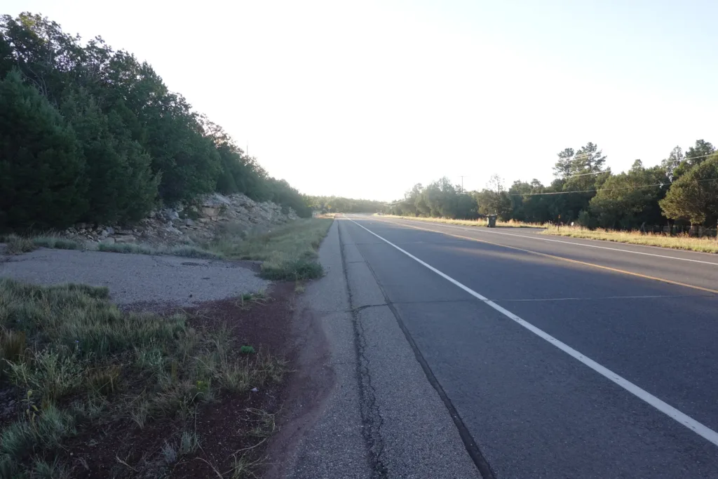
One bonus of roadwalking is the potential for town food versus my usual hiking fare. I passed a restaurant first thing that Google said would be open, but alas it was not. However, there was a convenience store just another 3 miles down the road, so no big deal.
The convenience store had a friendly owner who let me refill my water bottles. There was also a Forest Service employee there when I arrived who I pumped for information on the wildfire status and alternate trails and water.
I got some homemade breakfast burritos for there and the road, and some electrolyte drinks since it was a cloudless sunny day and I was walking blacktop pavement south towards the sun.
The road was fairly flat with rolling hills, but easy to make steady progress on. However, the lovely wide shoulder suddenly disappeared completely, with virtually nothing to the left of the white line. That made the rest of this stretch of road a practice of stepping off the road where I could to give the vehicles travelling at highway speed some room. Not the end of the world, but not the best experience either.
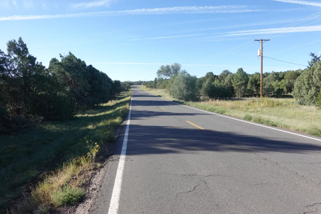
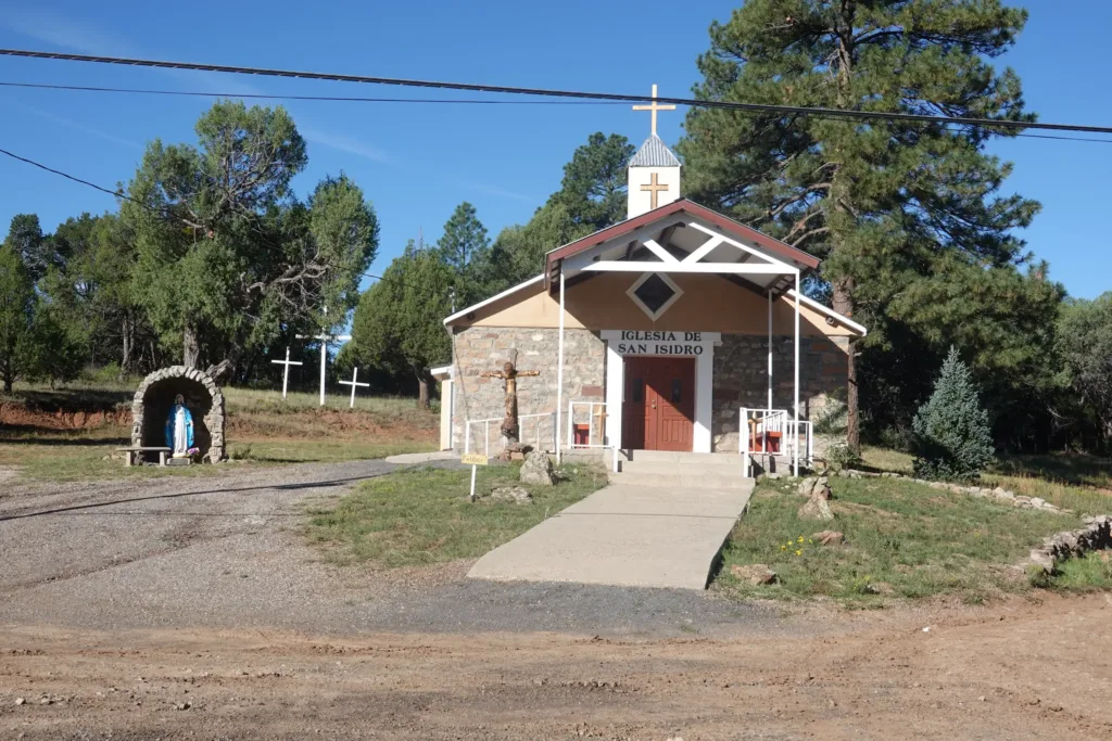
The road took me past grazing land and homesteads, all tightly fenced. The guide notes that there is an intensely private air about this area which was pretty apparent. One stretch passed through the Chilili land grant which even had posted not to take any pictures. Not really the type of place you want to mess around with too much. It was a colorful looking community though, but without any services.
The road dragged on. I do like the continuity of a hike which is why I just walked it out instead of thumbing along the way. Instead of just the forest, mountains, and desert, I can see how the people of this area live. It is just a different part of the adventure.
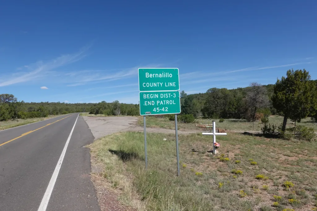
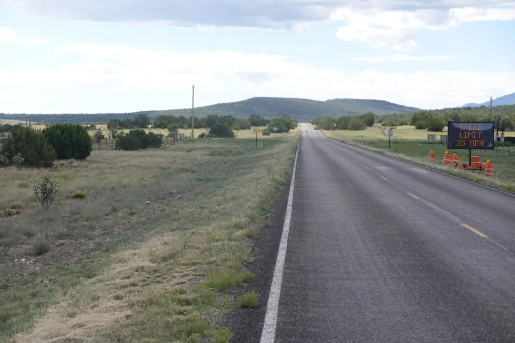
However, it was a very long roadwalk on a sunny day. I kept up a good pace, but I did have to put on an audiobook for the first time since it was a grind after a while.
After several hours, my route turned off the paved road onto much quieter back roads where I only saw a few vehicles over the next couple hours before arriving at the next small town of Tajique.
This is where I could continue to follow the trail if the Whiskey Fire was put out and the land reopened, or where I would otherwise have to continue roadwalking to get around the fire. I checked and there was no update on the fire, and the closure had not been lifted, so continuing the roadwalk was my only choice other than waiting an indeterminate amount of time for the closure to be released.
There was no more water ahead for a while, so I purchased 2 gallons of water from a convenience store. One of my friends likes to carry a gallon of water in his hands in the desert to take some load off his back. Some of the water had carry handles, so I thought I would give that a try.
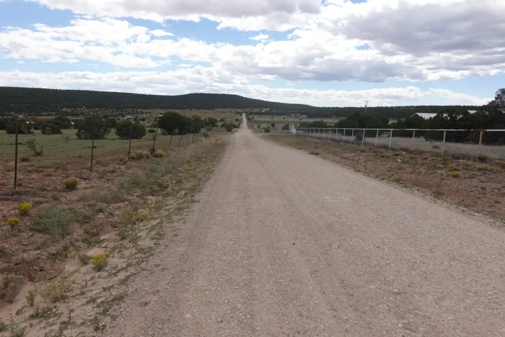
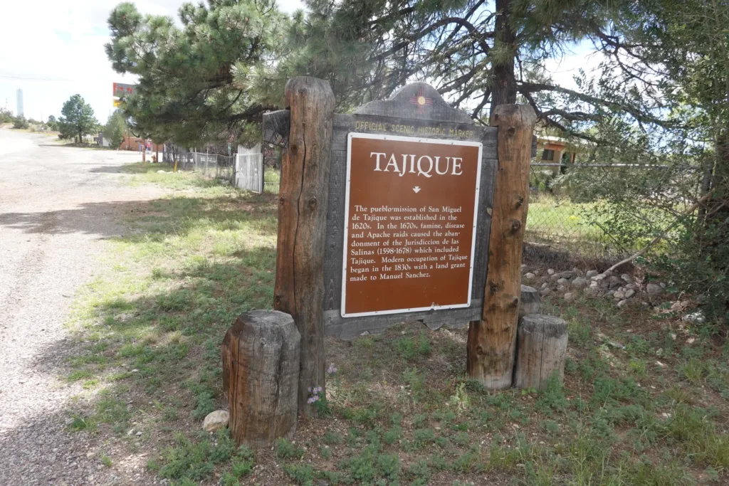
I resumed my roadwalk with the sun at its hottest. It was only in the 70s, but there was no shade and no clouds, and it was hot on the blacktop. I willed myself forward for mile after mile to just get it over with. The roadwalk was no longer an interesting side adventure. I was hot and chaffing. I drank water, but it didn’t seem to satisfy me. I set mileage goals to keep myself moving with the promise of only one break and then camp.
With the continuous fencing and apparent desire for privacy in the area, it did not seem like stealth camping on private land was a good idea, even well out of sight. That meant that my only option was to get back to public land.
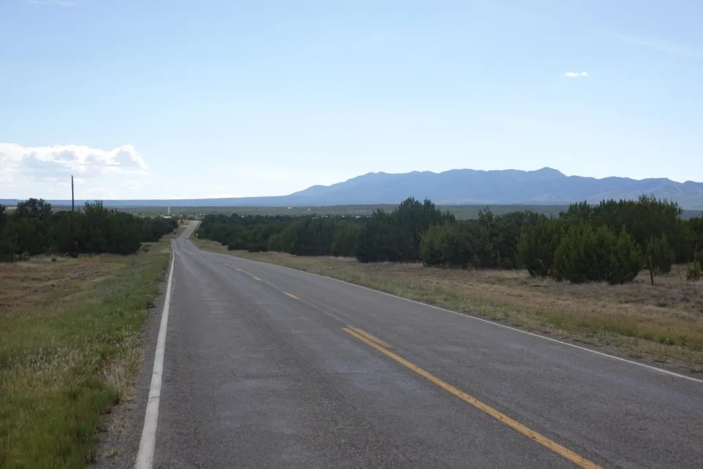
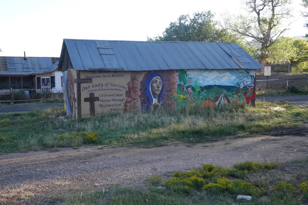
On either side of me it was a 2-3 miles to get to public land, which I would then have to reverse tomorrow as well. It would be 36 miles for the day to hit National Forest again, and if I kept my pace, I would get there right around dark. Seemed like a good enough goal for me.
As the day wound down, 2 people stopped and offered me rides, but at that point I was close to my goal, so I declined since I knew I could make it and maintain my hike continuous.
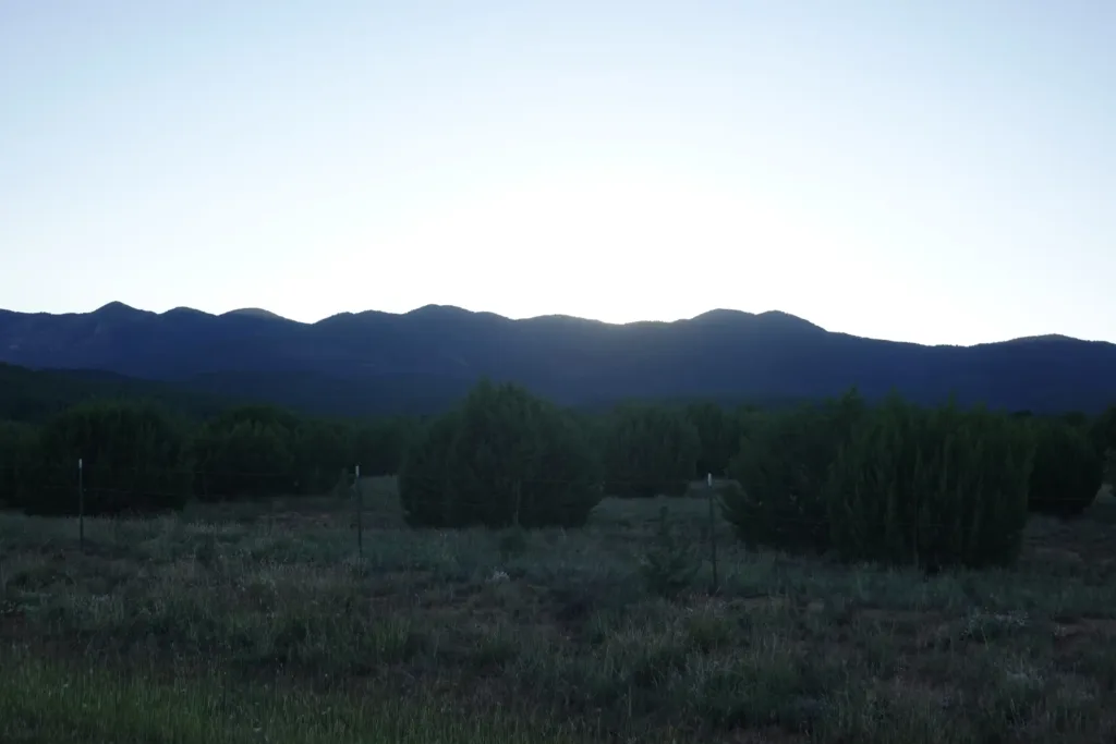
As dusk was falling, I finally reached the end of the last fence and entered the national forest. There were some prints on the ground that I thought at the time were mountain lion, but I didn’t care, and I found the first flat spot inside the boundary to pitch my tent as the light waned.
I had no idea today would end up like this, but it is how things worked out and I made it only slightly sore and a little chaffed. I ate my dinner and went straight to my tent to lay down. I didn’t even write in my journal which I try to do each day since it gets harder once I get behind.
What a day.