
Day 35
Start: Agua Dolce, CA
Finish: Near Spunky Edison Rd.
Daily Mileage: 16.6
PCT Mile: 471.4
Though I had yesterday off, I remembered several chores that I neglected to do yesterday and had to finish up this morning. Regardless, no one else was even thinking of packing up by the time I was getting ready to leave. It is so easy and routine to pack that I can go from laying in bed to walking down the trail in 30 minutes including eating breakfast, taking down my tent, and other morning chores.
I didn’t do nearly as well this morning, but managed to start walking just after 7 after eating my final restaurant meal – takeout from last night and attempting to shake all of the earwigs from my tent that had taken up residence in every occluded corner.
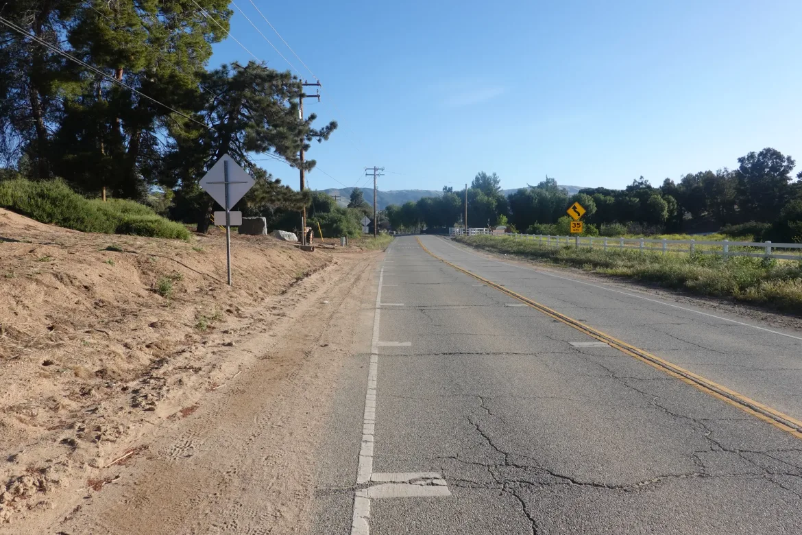
The trail started as the first decent roadwalk of the trip of two or three miles. The PCTA has done everything they could to keep this trail off the road, even if it meant travelling 50 feet from a road for several miles, so there must have been issues in this area.
As Cookie Monster and I neared a movie trailer and prop vehicle storage lot, we turned off on a powerline access road that became trail and lead us into the hills once more.
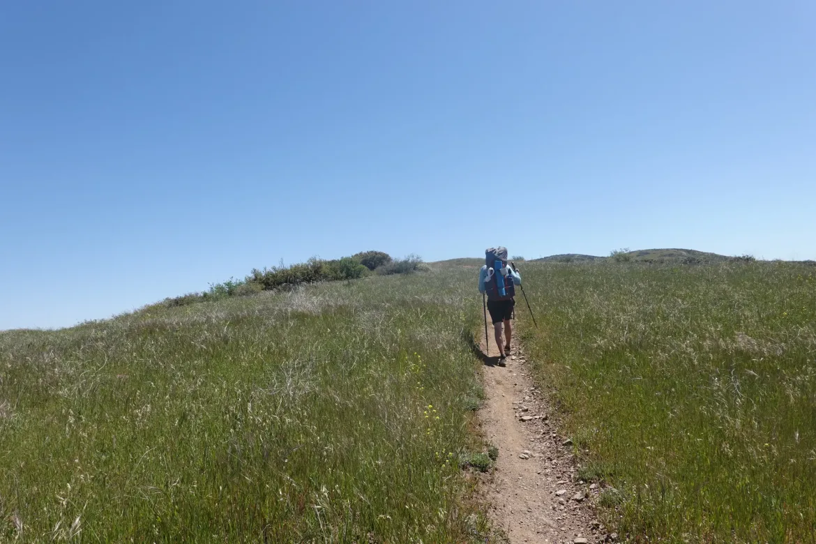
Of course, leaving town we had a fresh 2,000 foot climb to start us off as is typical to get back into the mountains with a newly refilled food bag. We are only carrying 3 nights of food for this stretch though, and I’m less my snow gear so the load wasn’t bad this time around.
The PCT kept to its standard shallow grade and gradually took us into the hills. There was the first register on the entire trail so far I think, so we signed in and looked through the list of hikers ahead of us for familiar names. Something I did every day on the Appalachian Trail but cannot do here without regular registers.
We wanted to get the first climb done with as early as we could to avoid the inevitable heat of the sun. Though we were only planning 16 miles for the day and the first water was halfway through, we targeted that water source as a goal for our first break to press ourselves on before the sun.
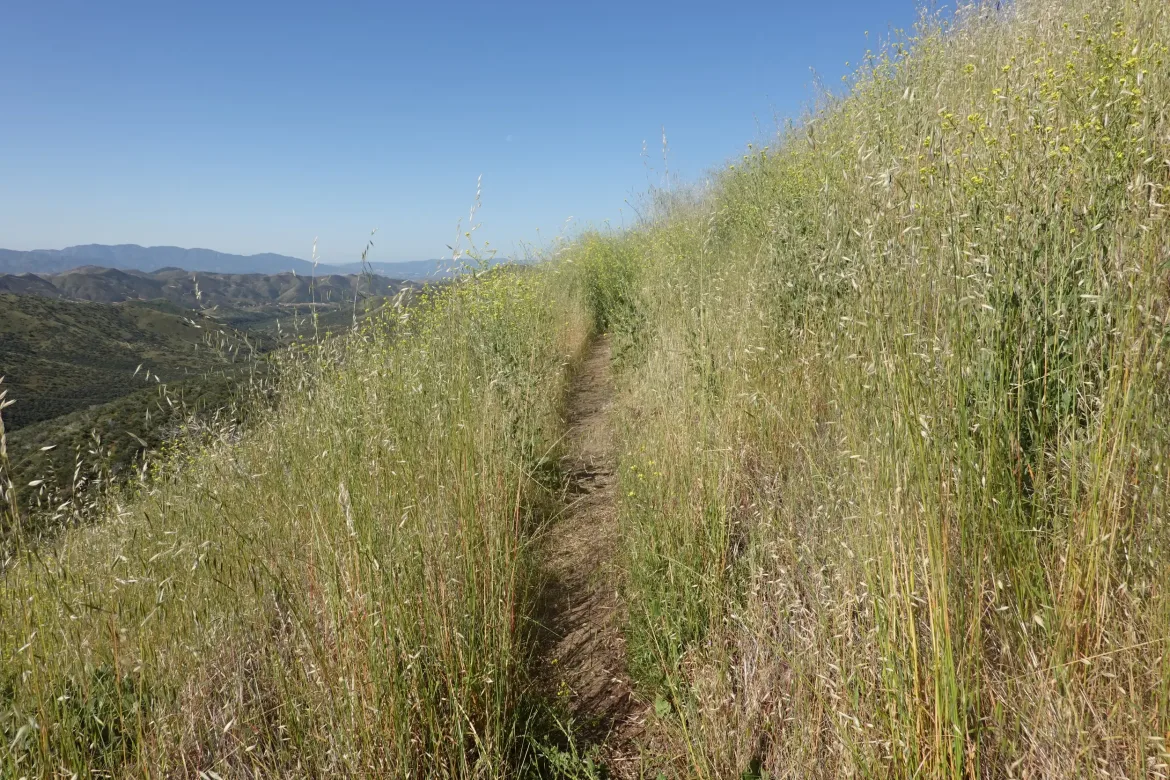
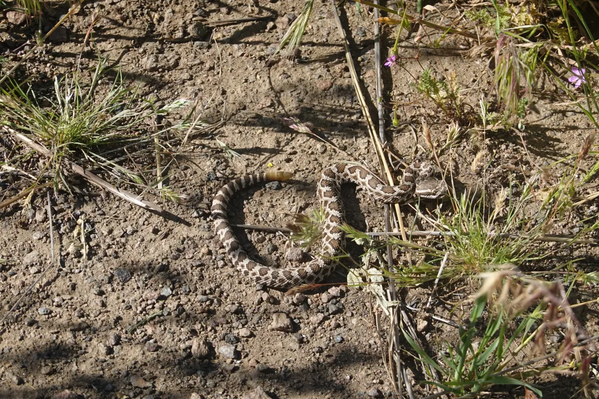
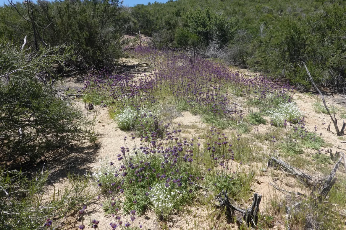
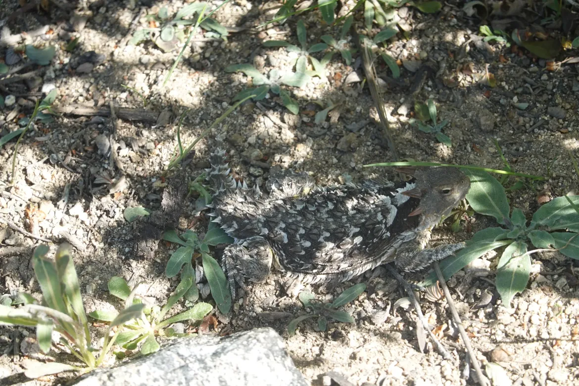
The trail was grassy and we set a good pace up, knocking off the elevation. Most of the way up, I stepped off trail for a minor view point and nearly stepped on a young snake. It was facing me with its diamond shaped head, and its tail appeared to be still forming a rattle that it had not yet learned to shake. I’m pretty sure it was a rattlesnake from its look, and I gave it a berth after seeing it.
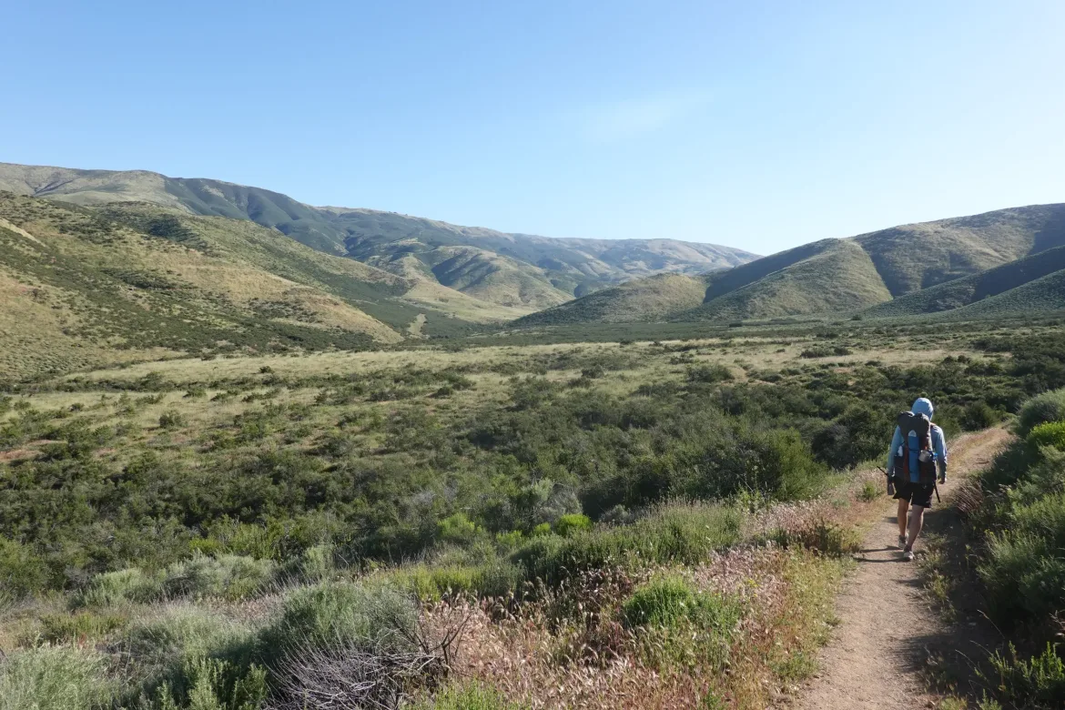
We powered up the hill well and when we crested over to the other side we were met with a grove of oak trees with a great spot of shade. Though slightly short of our water source break goal, we stopped here as it was a nice spot on the ridge and took a decent break since we were doing very well on miles for the day.
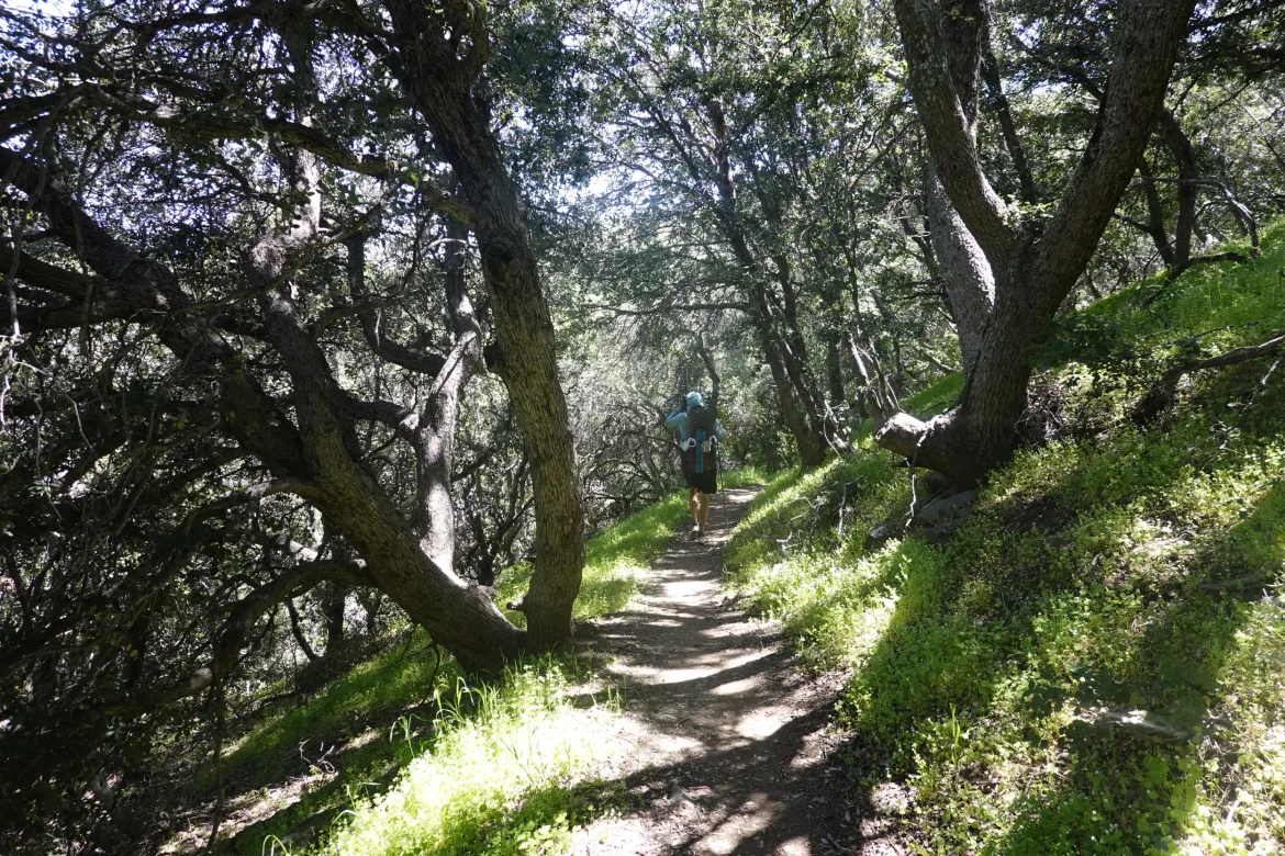
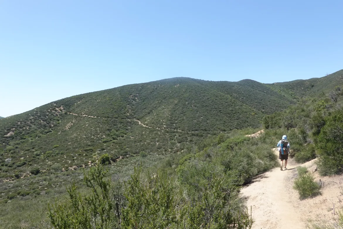
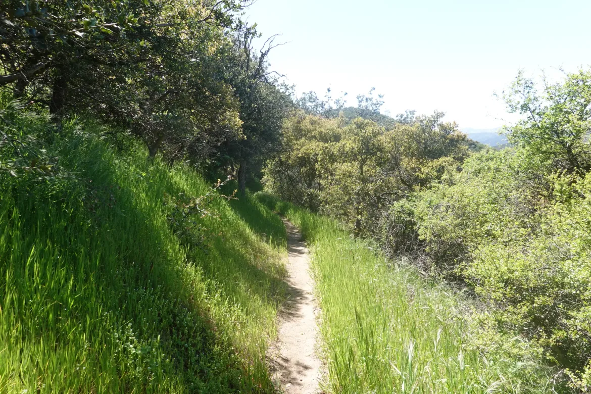
Moving on, I was struck by the tremendous difference in the two sides of the same mountain. It was mostly grass on the side we climbed, but that back side was verdant green forest with bright green new shoots of grass. Almost as bright green as my home in the Pacific Northwest. It was quite surprising out here, and I’m not sure why it was so different, but it was definitely an appreciated difference.
We worked our way down the hill in mostly this lush forest that occasionally gave way to more typical desert. I was then struck by the realization that I did not see the typical forest of tree skeletons that we are so used to here in remembrance of recent forest fires. This area appeared absolutely untouched by fire which was quite unique. Perhaps that was why the forest was so alive and dominating; it has been here undisturbed for a while. Was the rest of the burned terrain we have been passing through like this at one time?
As I was descending alone ahead of Cookie Monster, I heard a buzz behind me. I had blazed past a rattle snake, and it didn’t even start rattling until after I was past. It still scared me since it was so close. Almost stepped on two of these guys today.
We took another break at the bottom of the descent to kill time and for me to dig into my lunch. We sat under an immense old oak tree which was one more piece of evidence of the lack of fires here.
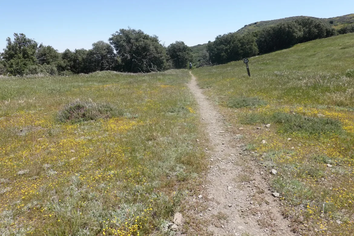
It was definitely warming up, and returning to the opposing face of the next hill, we were back into the high desert type vegetation. It seems the lush forest preferred the slightly more sheltered north face of the mountain, and the south face with its increased abuse from the sun couldn’t flourish as well.
We set a steady pace up, but as we got to the steep part of the climb I was dripping sweat. We got that part done and took a quick break to recuperate. From then it was a more modest climb to cross from the south to north side of the next ridge.
Once again, crossing over to the north side of the ridge we were back in the untouched lush forest as before, with everything the brightest green. An easy and enjoyable downhill and traverse past several flowing streams and we arrived at our campsite for the night.
Another early day, but we did what we intended to do. There were a few camp spots in the area, and one was ringed in poison oak, and there was a loud drone of bees in the second. We made the third do. Not the flattest, but it will work. I found quite a few earwig hitchhikers when I unrolled my tent, both inside and outside of it.
The terrain today wasn’t the most severe or dramatic, but it was an incredibly enjoyable day for me with the lush and living landscapes we traveled through. After seeing so many burned areas, it is incredibly refreshing to see something that appears original and imagine the rest of southern California possibly appearing this way before it was ravaged by years of drought and the resulting fires.
1 comment
This is a photo of the “small” snake! That is not a small snake :))))