
Start: Tanner Canyon Campsite
Finish: Horseshoe Mesa Campsite
Daily Mileage: 19.6
Trip Mileage: 760.9
Elevation gain/loss: 5605/3357ft
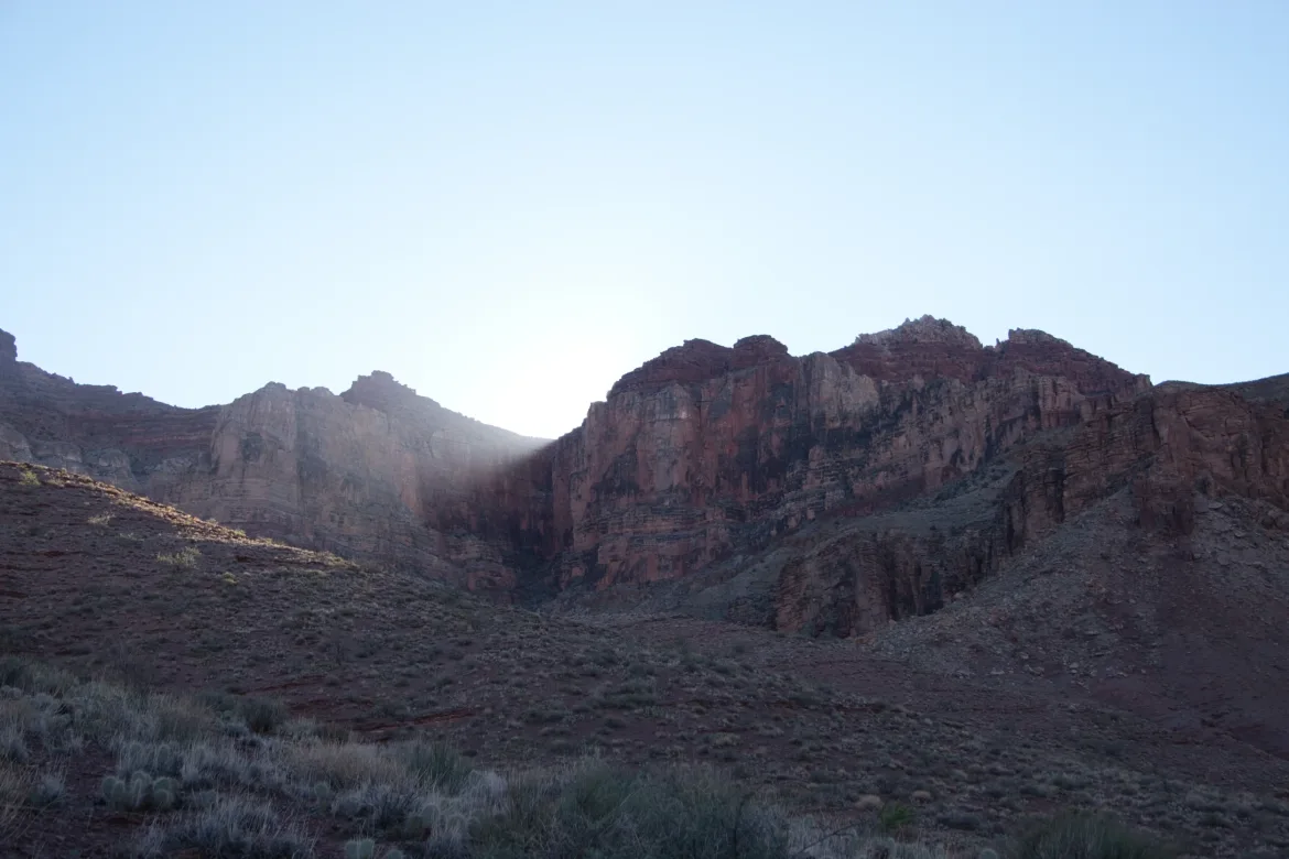
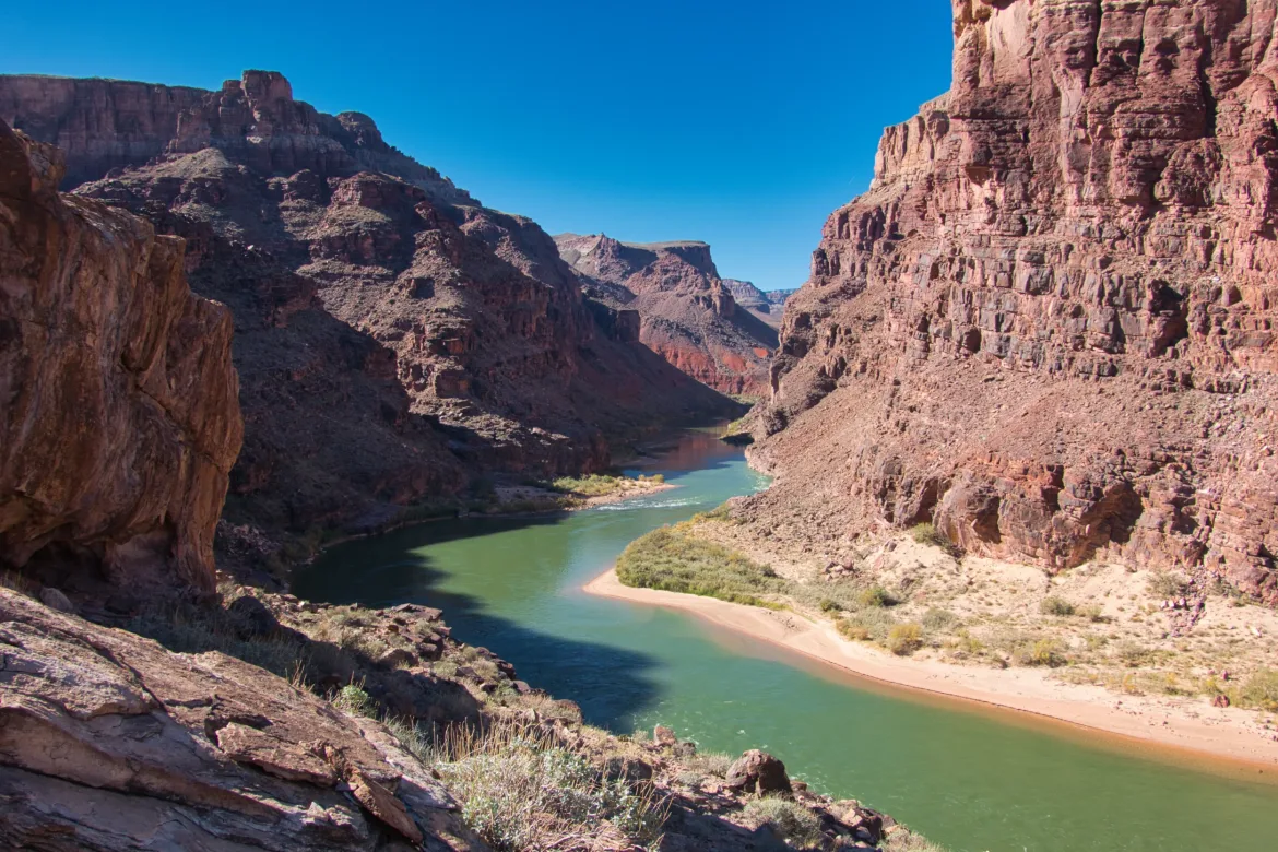
For the first time ever in my life, I slept through my alarm clock. I think the river rapids were too loud, and they drowned it out. I woke up, and it was getting light out, so I checked my clock, and I realized I overslept almost an hour! I hastily packed up camp so I could do as much hiking as possible before the sun started beating down on me.
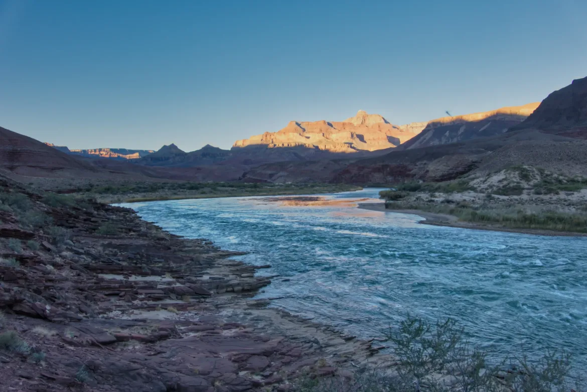
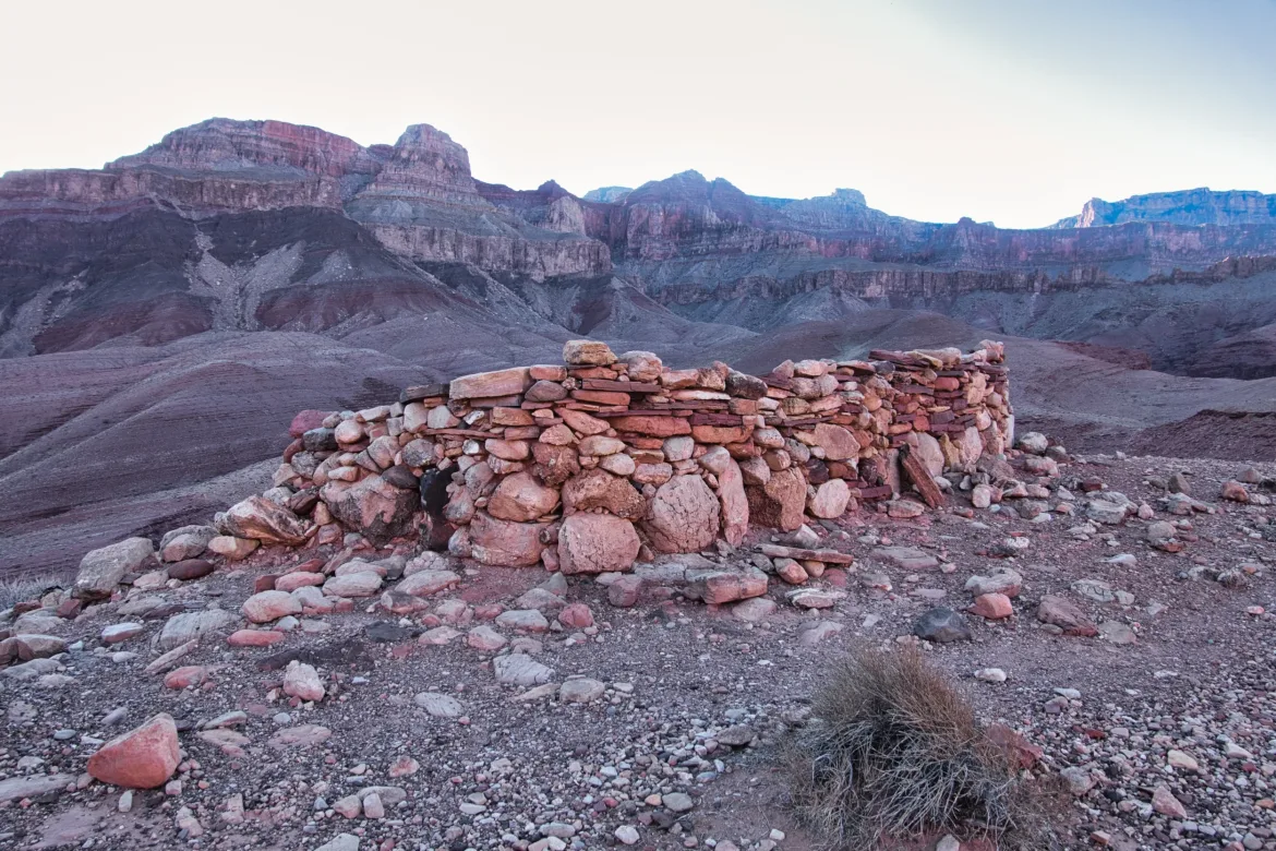
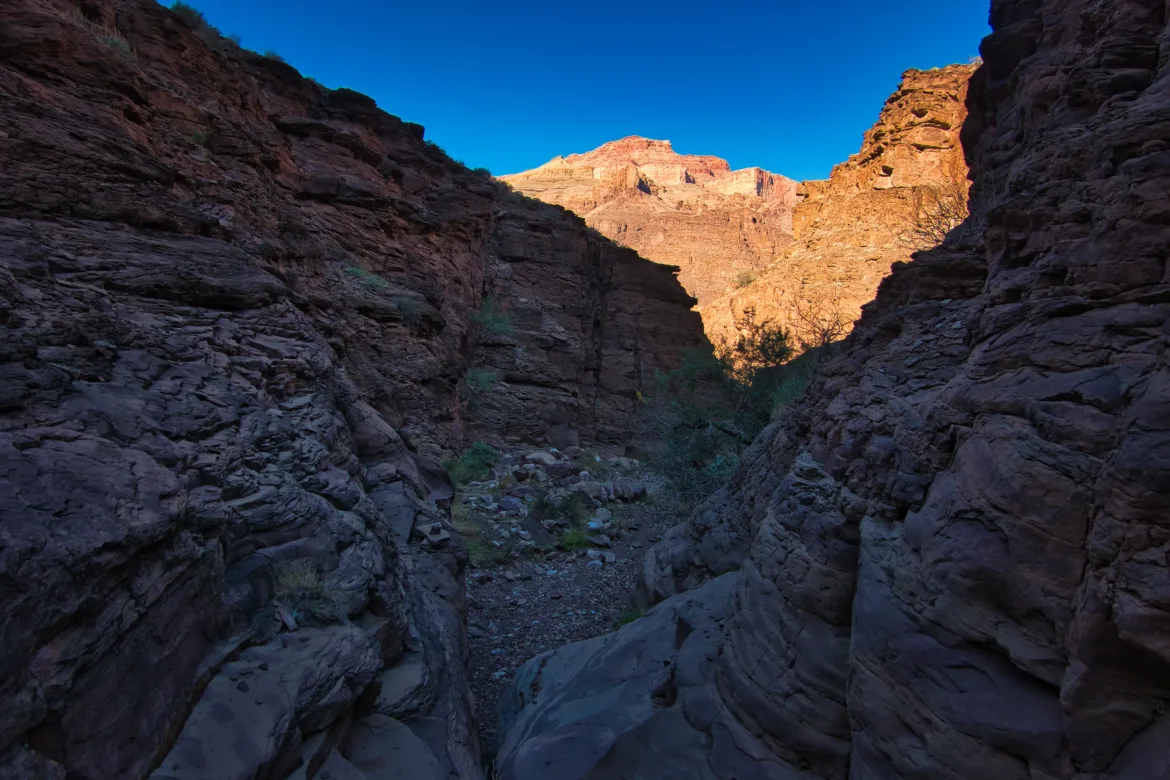
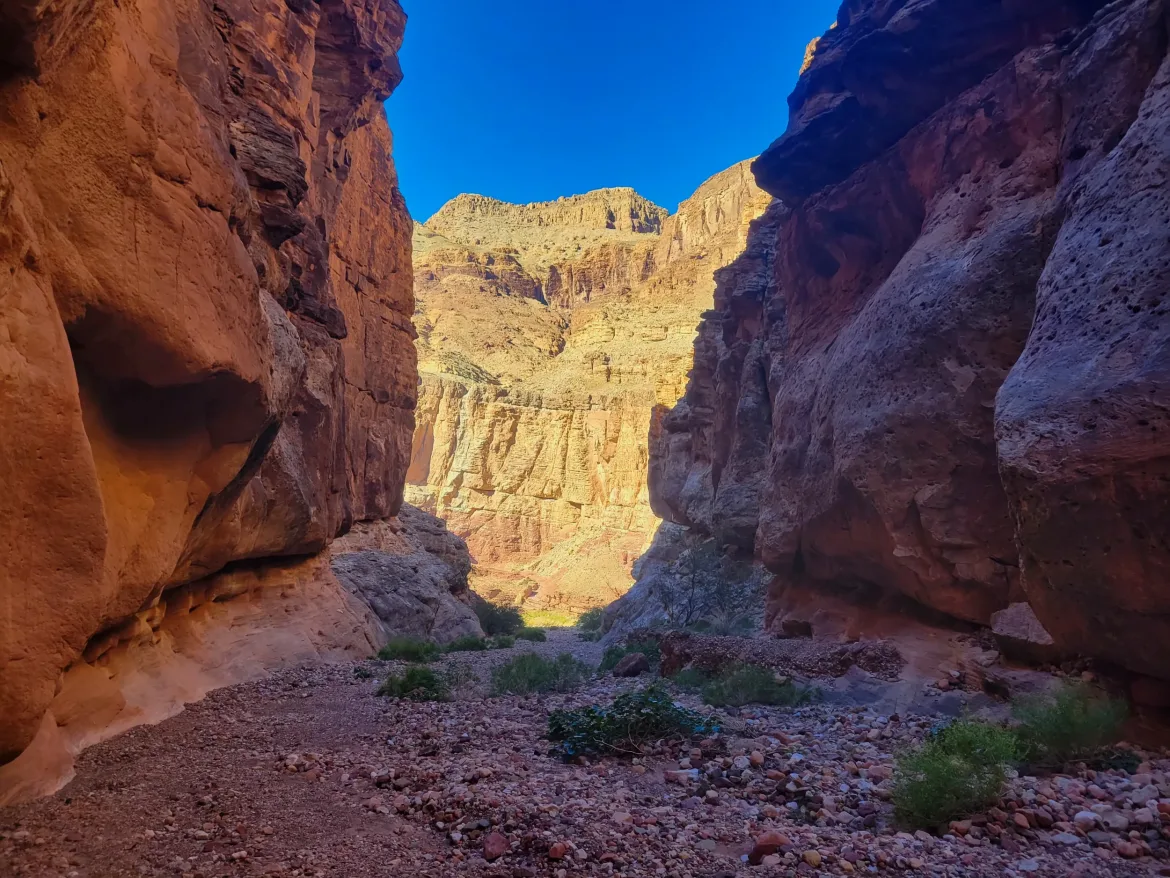
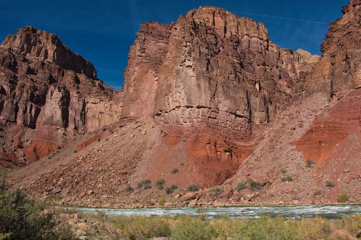
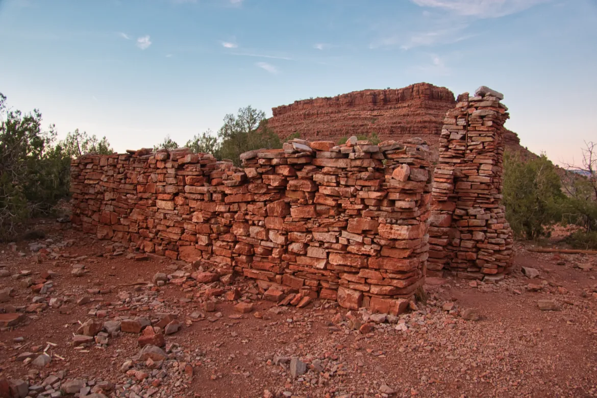
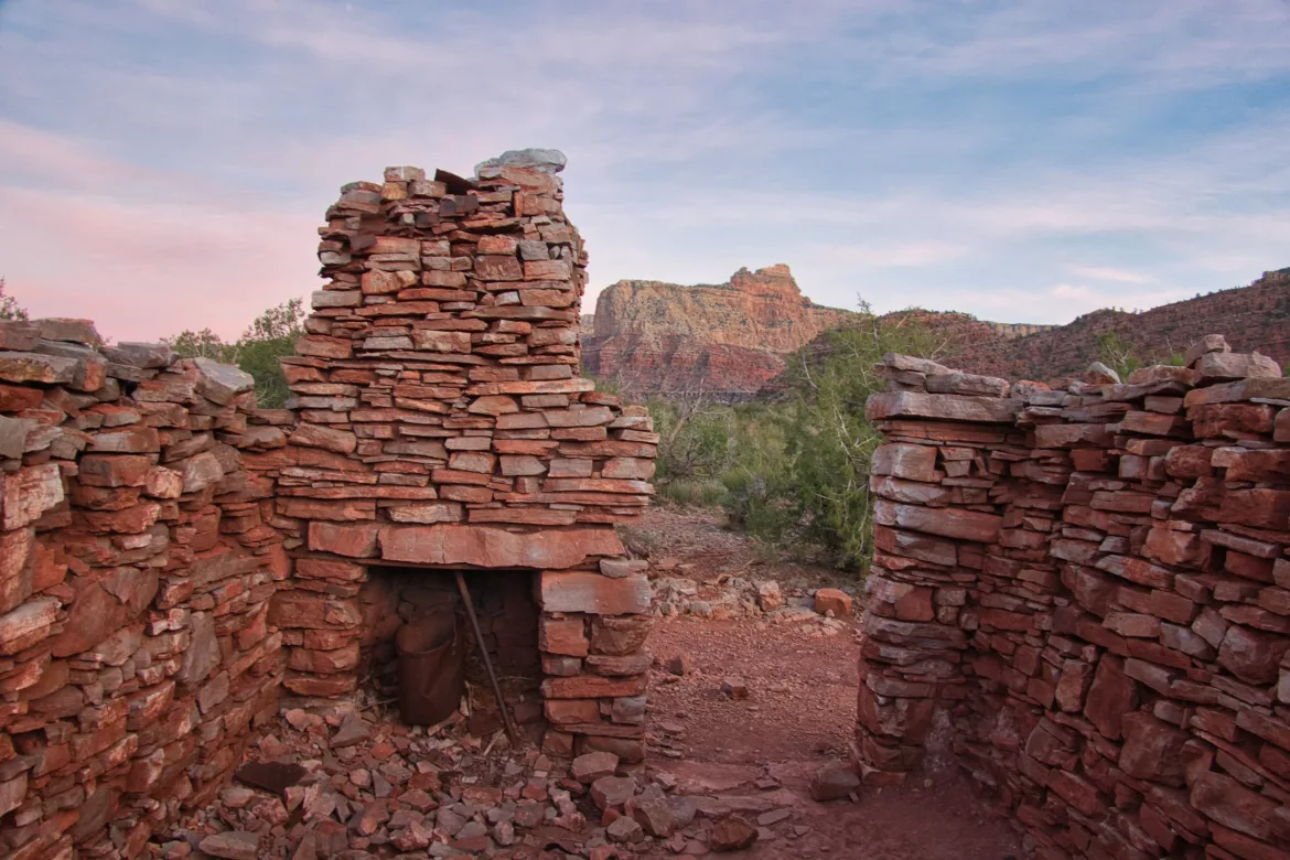
The trail started off next to the Colorado for some pleasant and easy walking. It then climbed up into some hills to avoid cliffs at the water’s edge. There was a weird structure built on top of one of the hills using mud for mortar, and I was curious who built it. That style is typically Indian, but I doubt it would have lasted so long exposed to the elements on top of a hill like that.
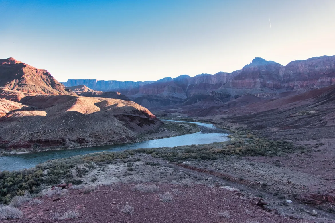
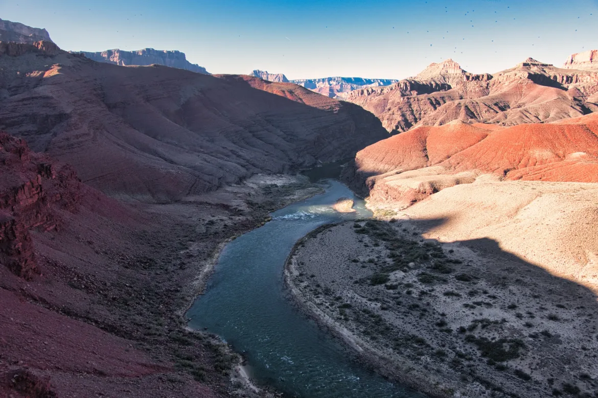
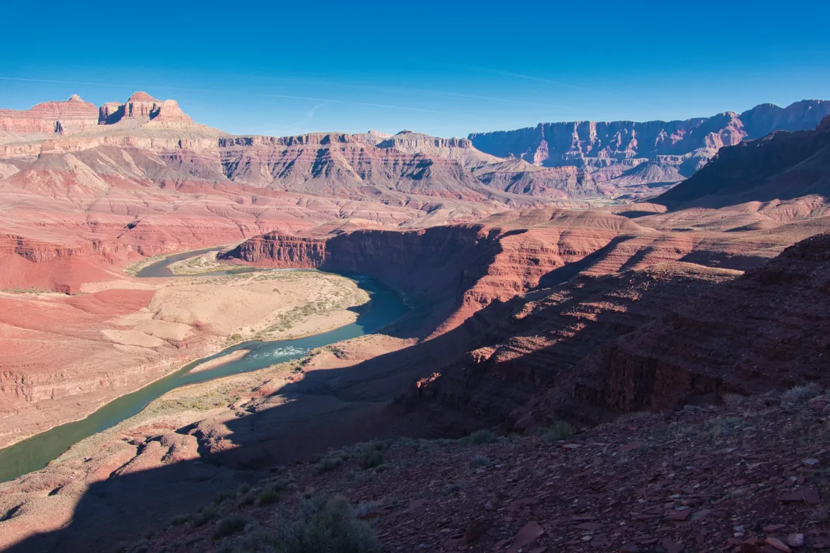
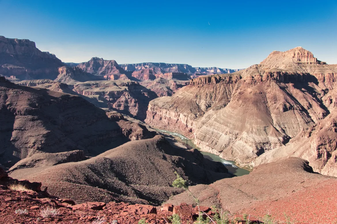
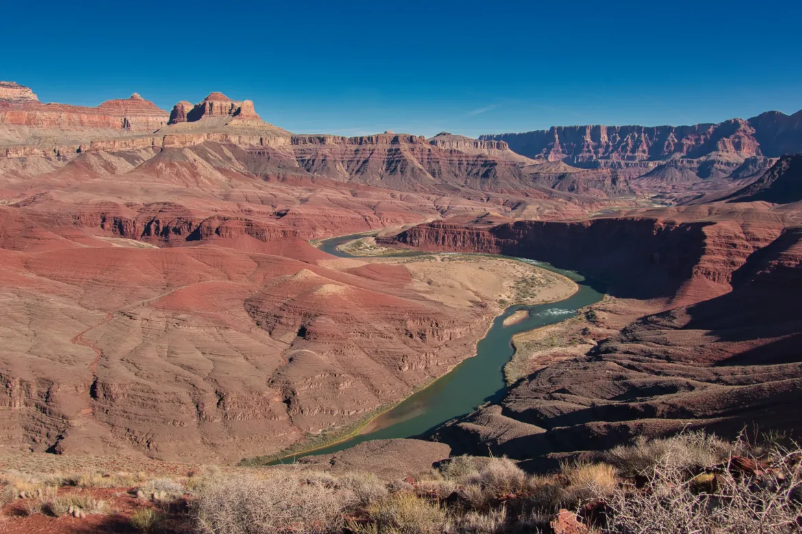
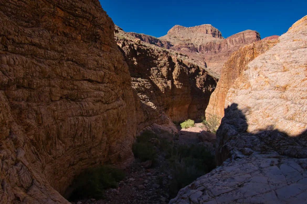
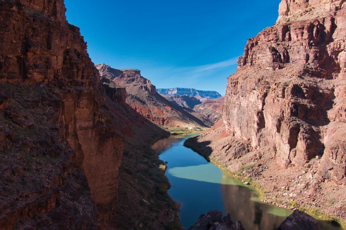
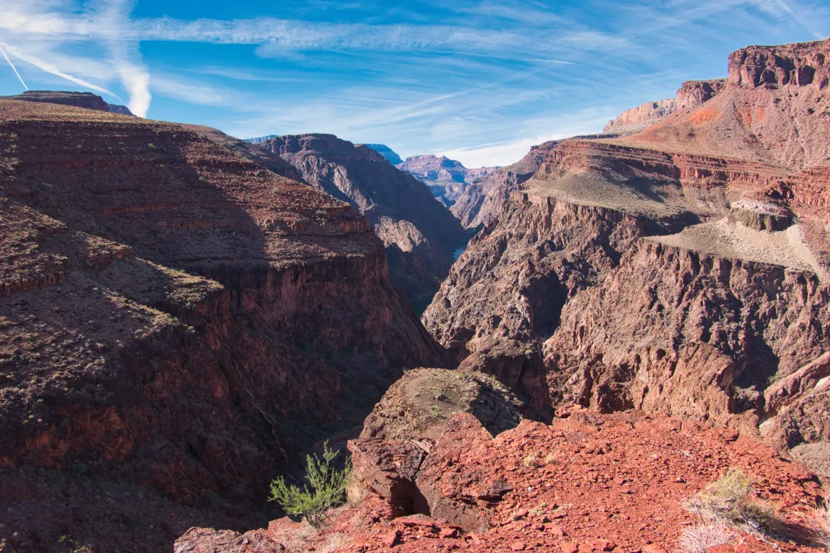
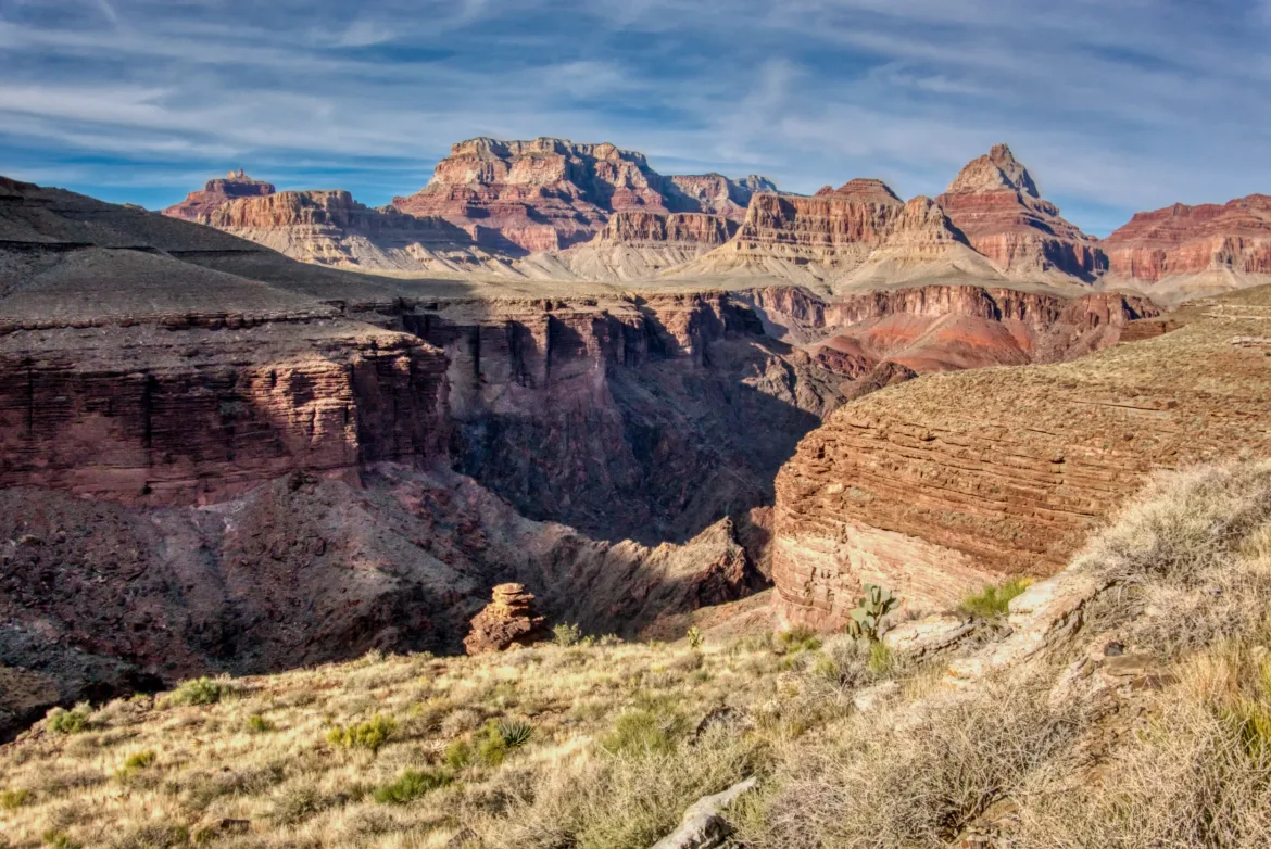
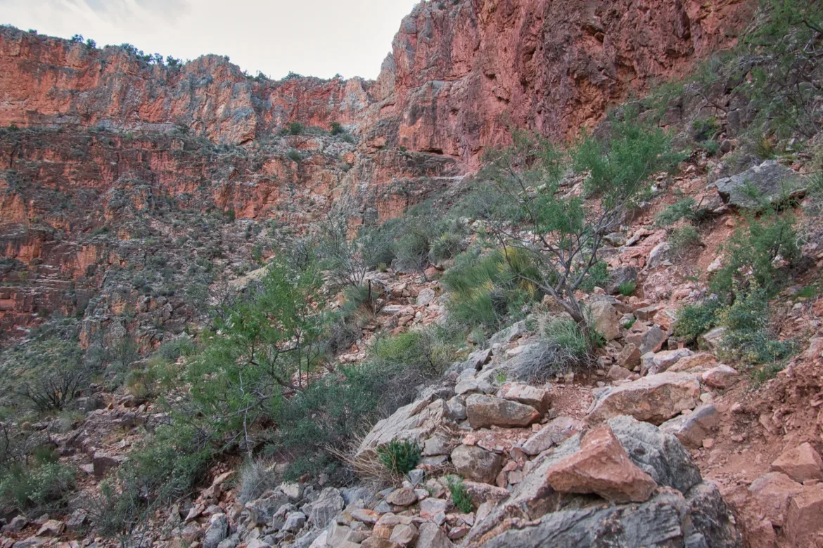
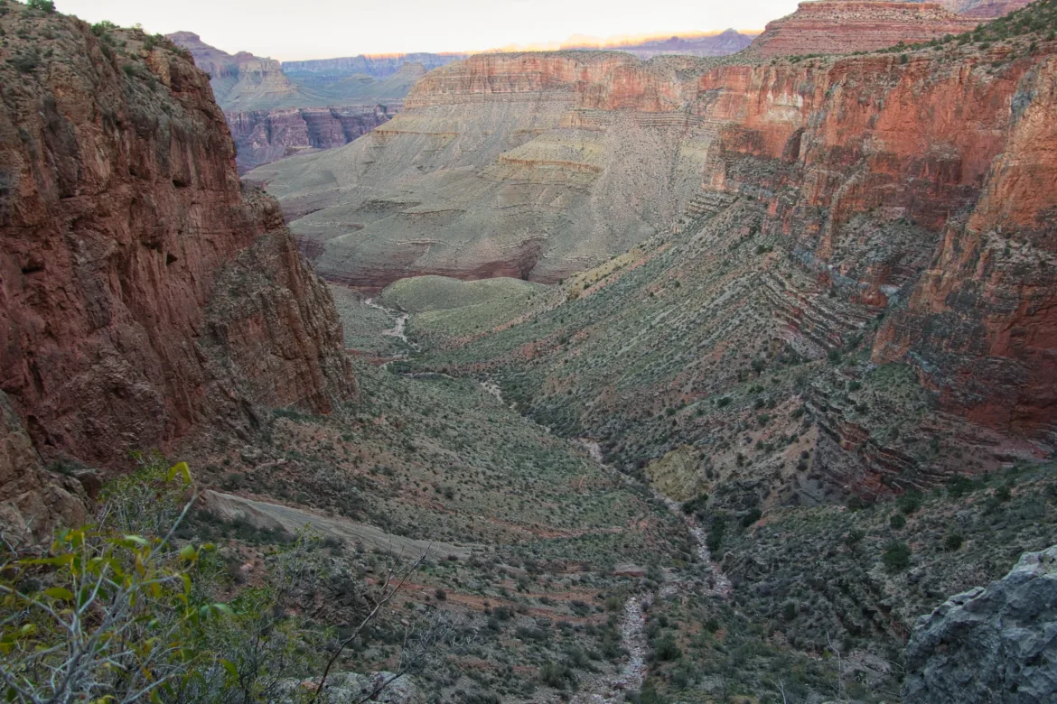
The trail meandered far from the river for a while to avoid the continuing cliffs. The trail got a little bit more difficult with some exposure but not too bad. Looking forward, it was hard to tell where the trail could even go on the steep slopes, but it made it work. It crested several saddles, which all offered great views up and down the canyon, so it was well worth the climb up.
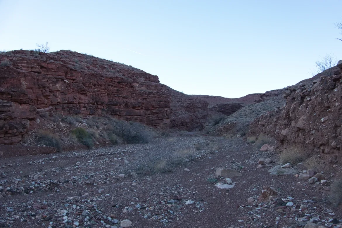
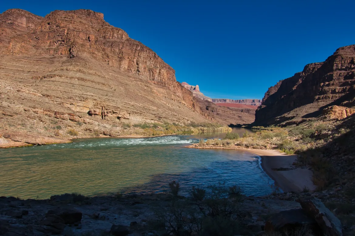
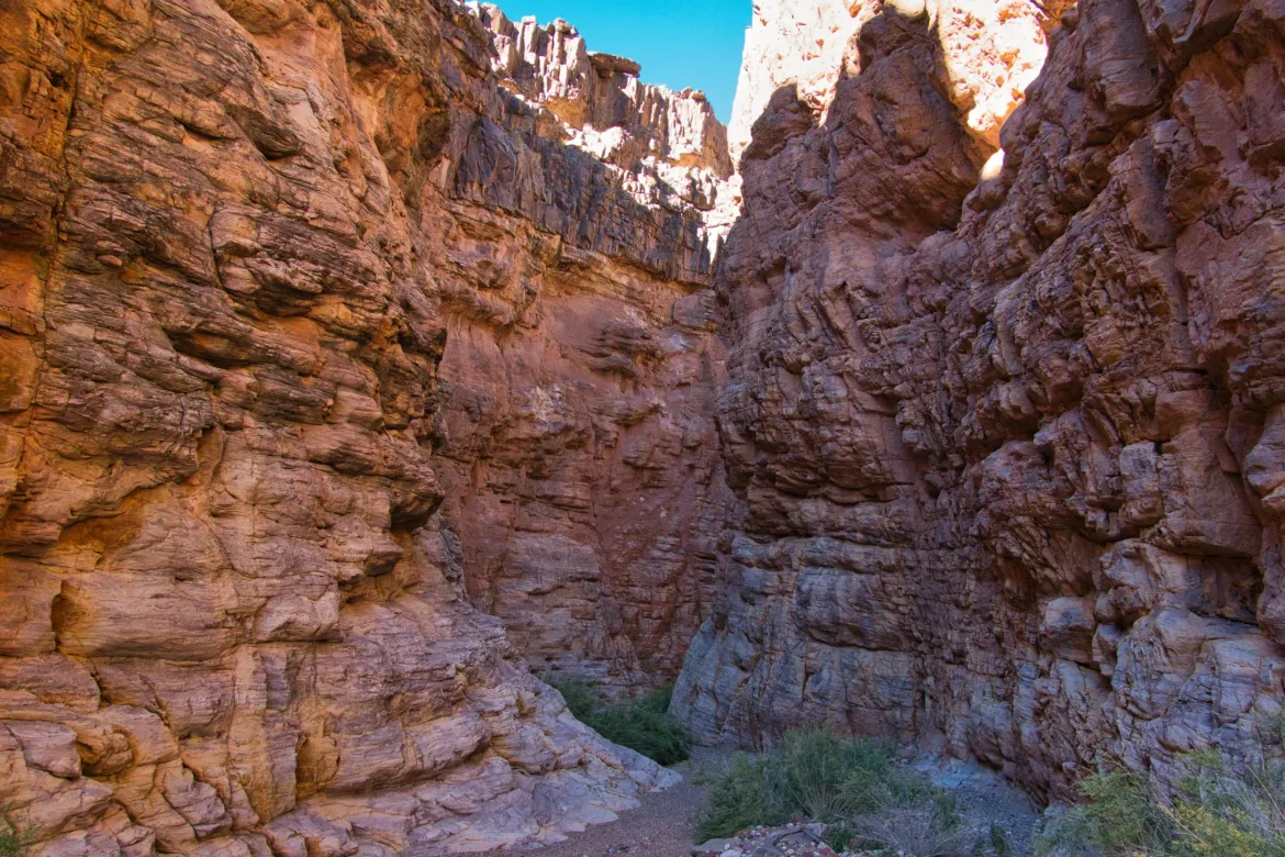
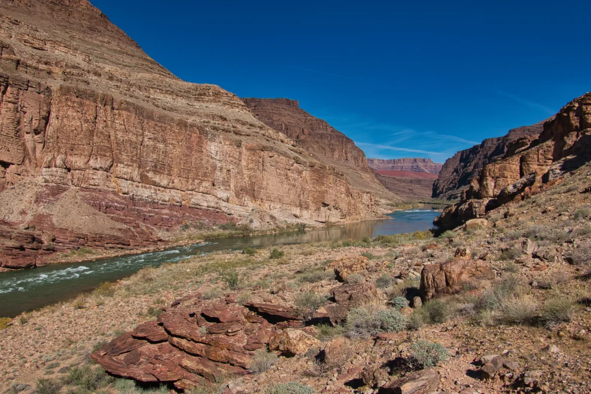
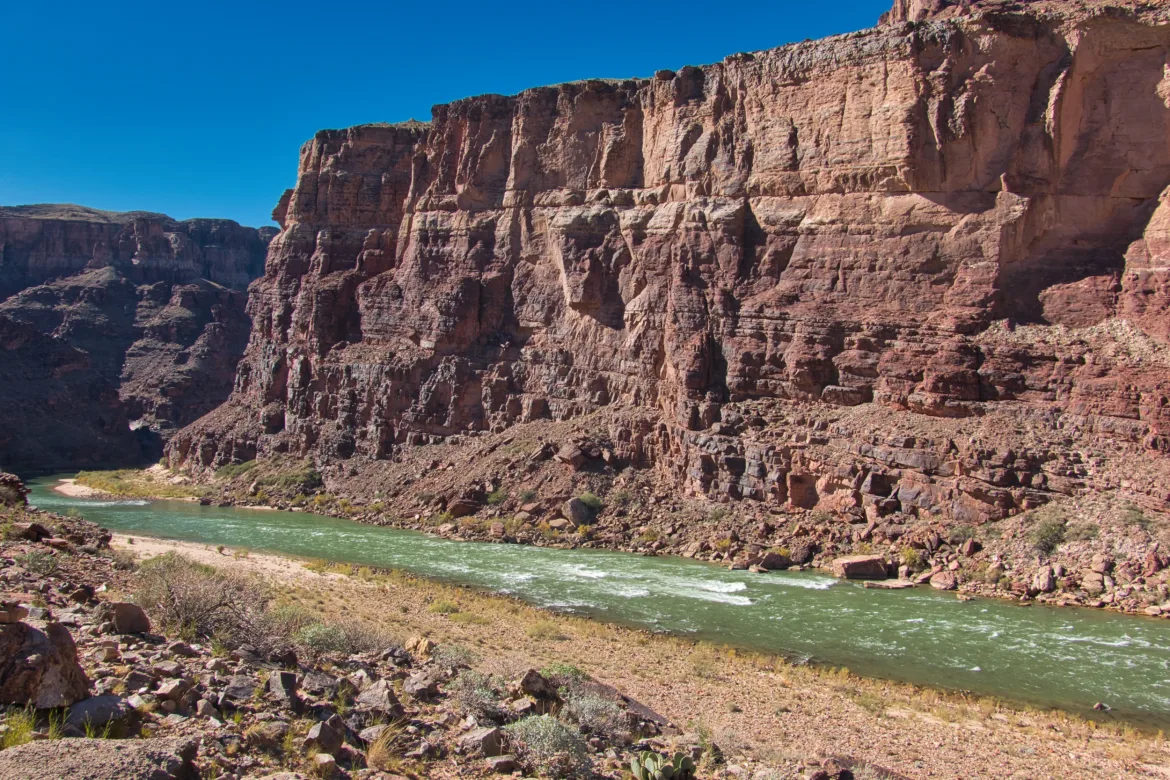
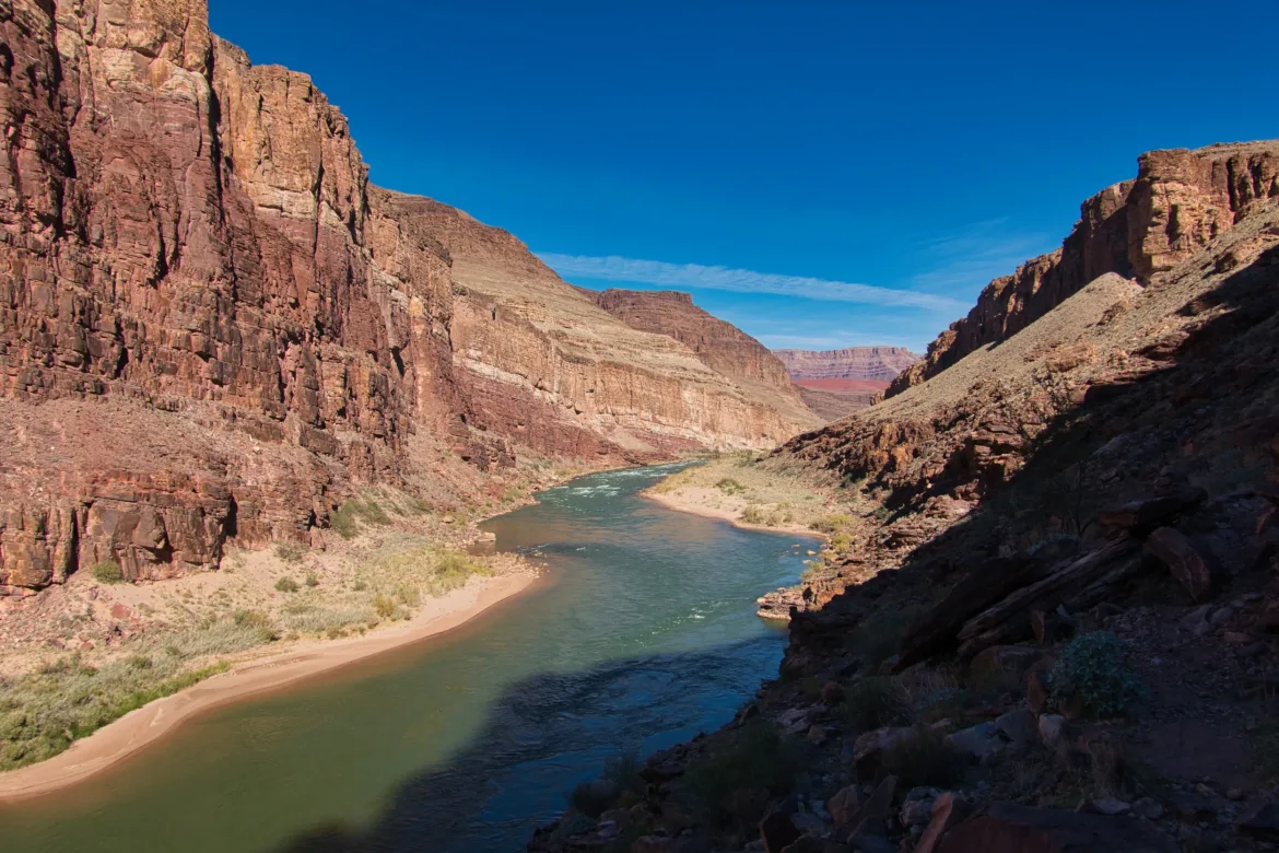
I headed back down towards the river after the cliffs had passed. I almost got back down to the river before the trail cut back into the hills, to avoid some more cliffs. I thought I saw some rafts coming behind me but couldn’t tell if it was my friends. To get down to the river, I had to walk about a mile up another canyon to where the cliffs disappeared, and then get in a narrow canyon to trace it all the way down to the Colorado. By the time I actually got out to the Colorado this time, I couldn’t see any rafts, so I’m not sure who was passing.
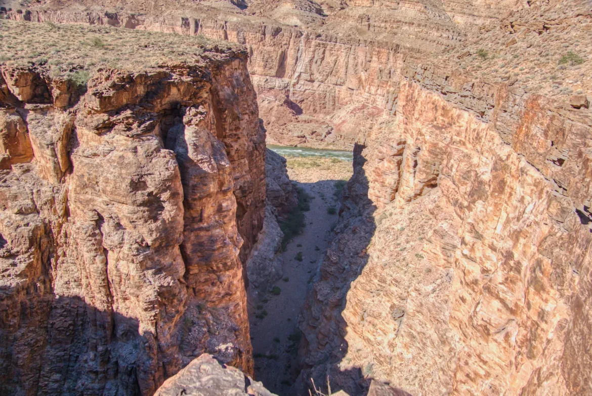
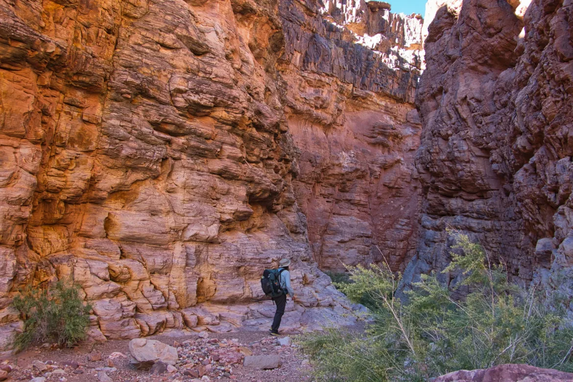
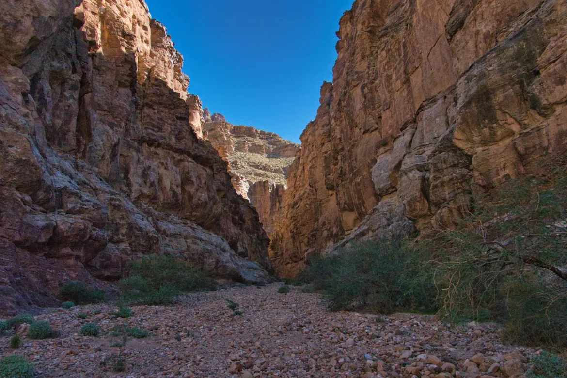
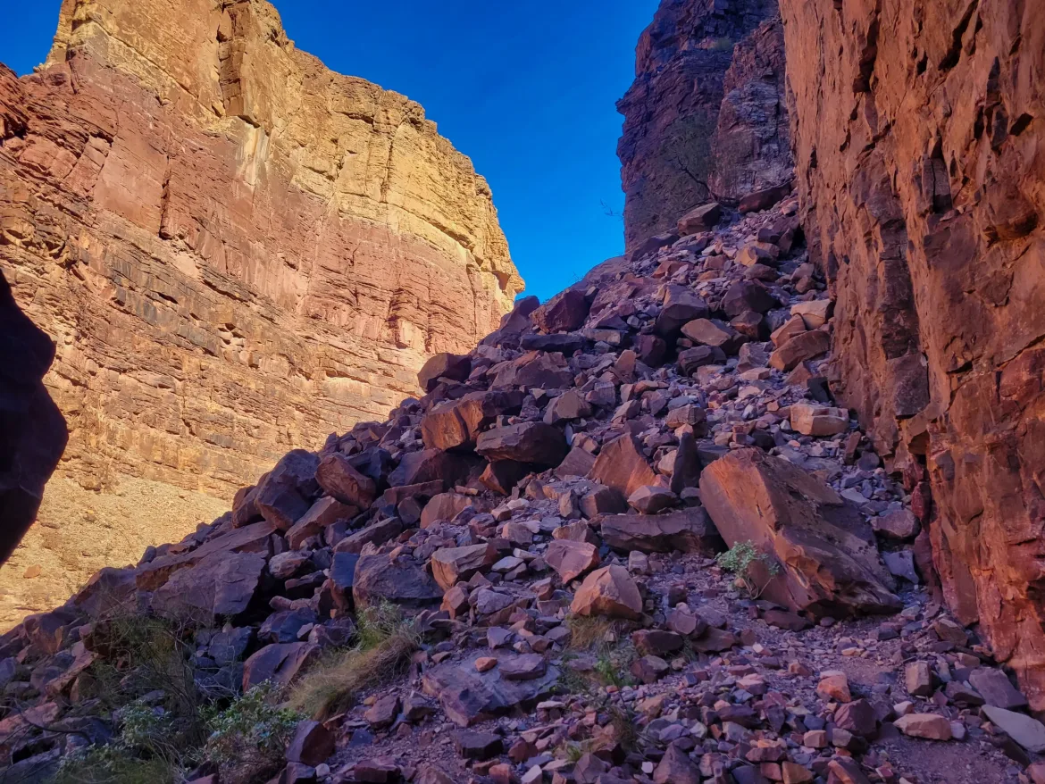
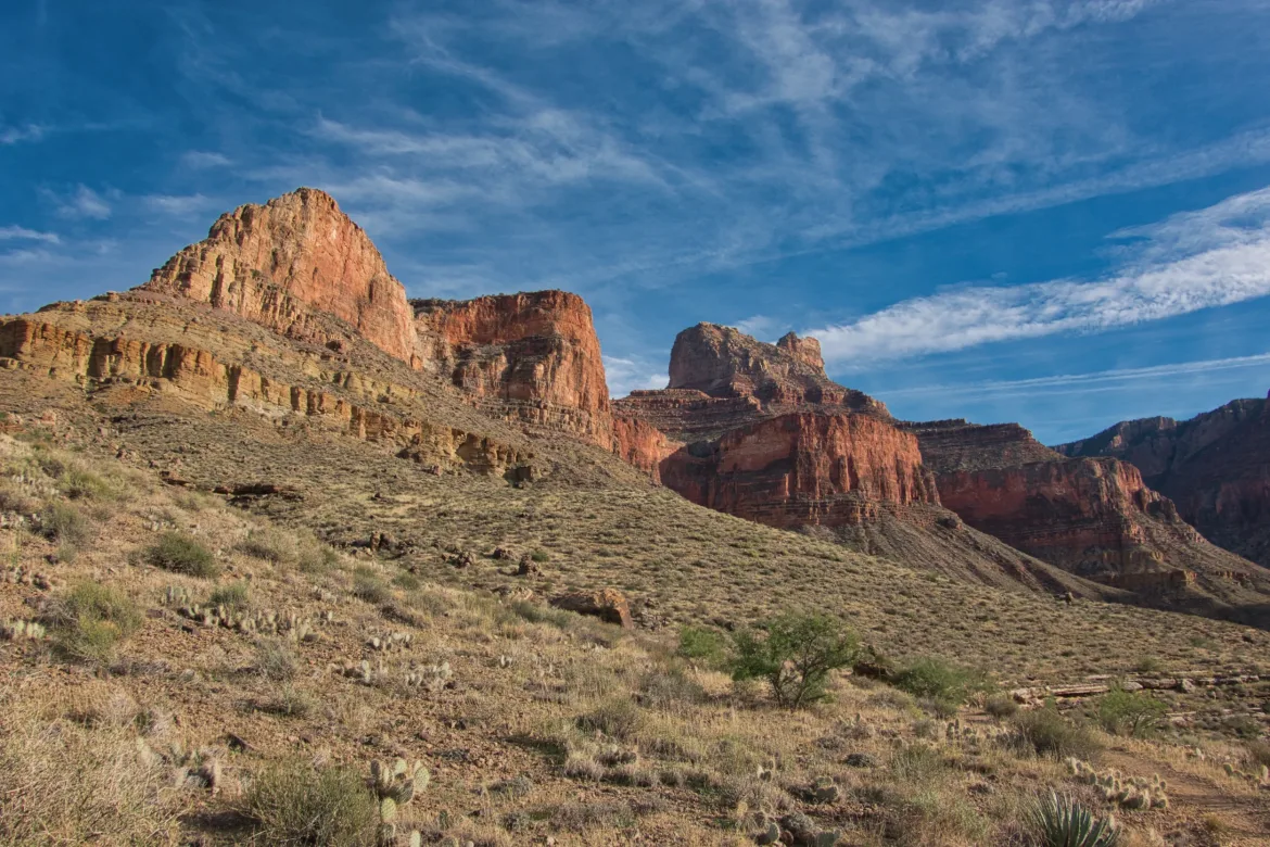
Heading back up into the hills again, I lost the trail a bit since it was really rocky and steep. A bunch of people had obviously been where I was and had put cairns in the wrong places which was misleading and got me confused. I ended up in some very steep and exposed spots and decided that wasn’t right. When I’m hanging onto the edge of a cliff with a drop below me and a sketchy climb up, I decided it was time to turn around and head back a little bit. That let me find the actual trail, which I had missed. I climbed up to that, and then it was smooth sailing from there. However, after the cliffs had ended, it was an extremely steep downhill back to the river. Lots of loose rock and dirt. It was a pretty sketchy trail for a national park trail.
I rejoined the Colorado for the last time for a while so I drank all my water and grabbed some more. There were some people there camping, and they gave me info on the water situation ahead, which was very helpful. Then I headed back up into the hills. The sun was out in all its glory at this point, and it was pretty hot heading uphill towards the sun. It sapped my energy pretty well, but I was able to keep moving since I’m in pretty decent shape now.
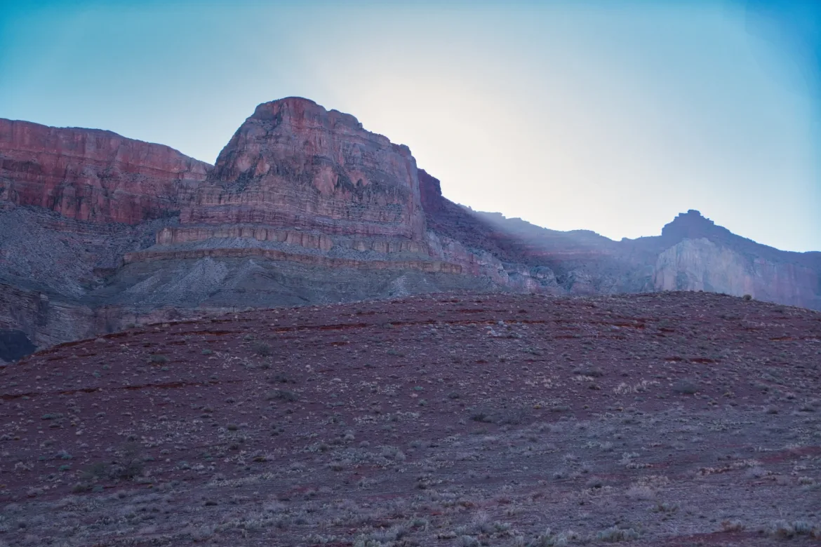
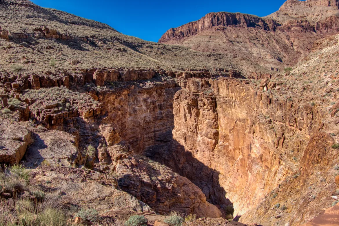
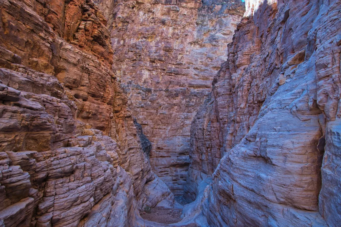
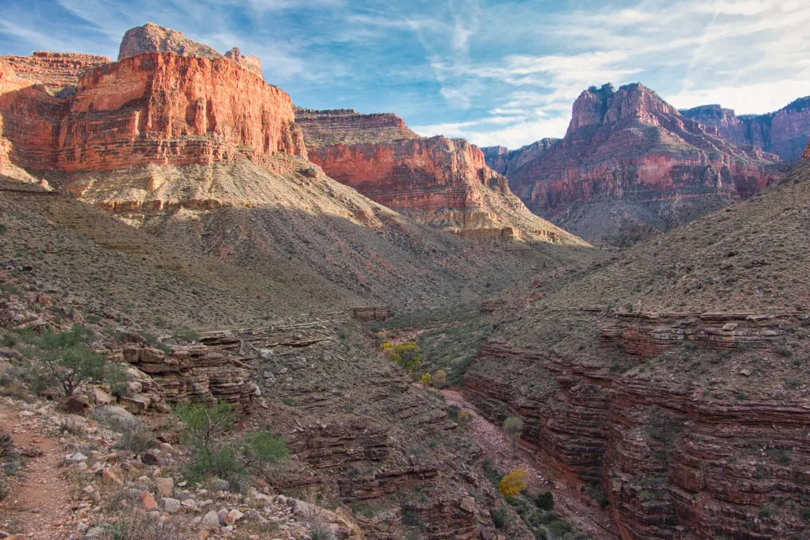
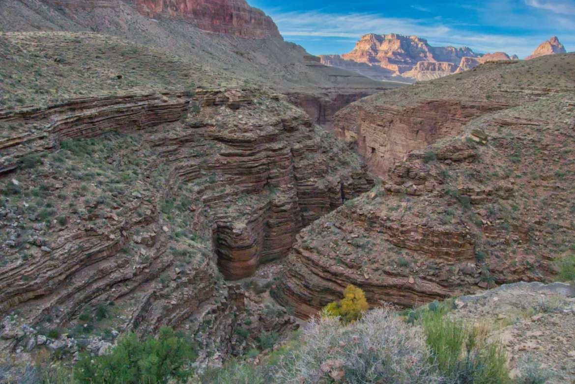
I went up and around, going inland to get around the head of several canyons. They can be pretty long and time-consuming to get around some of these obstacles down here since everything is so steep, and there are lots of sheer cliffs. After a few miles, I made it to Hance Creek, where I grabbed about a gallon of water. There’s another spring closer to where I was camping, but it has low levels of arsenic, so I drew my minimum amount of water I need from here. It was getting late in the day at this point, and I was starting to get tired and hungry. I only had two miles to go, but that included a 1500 ft. climb.
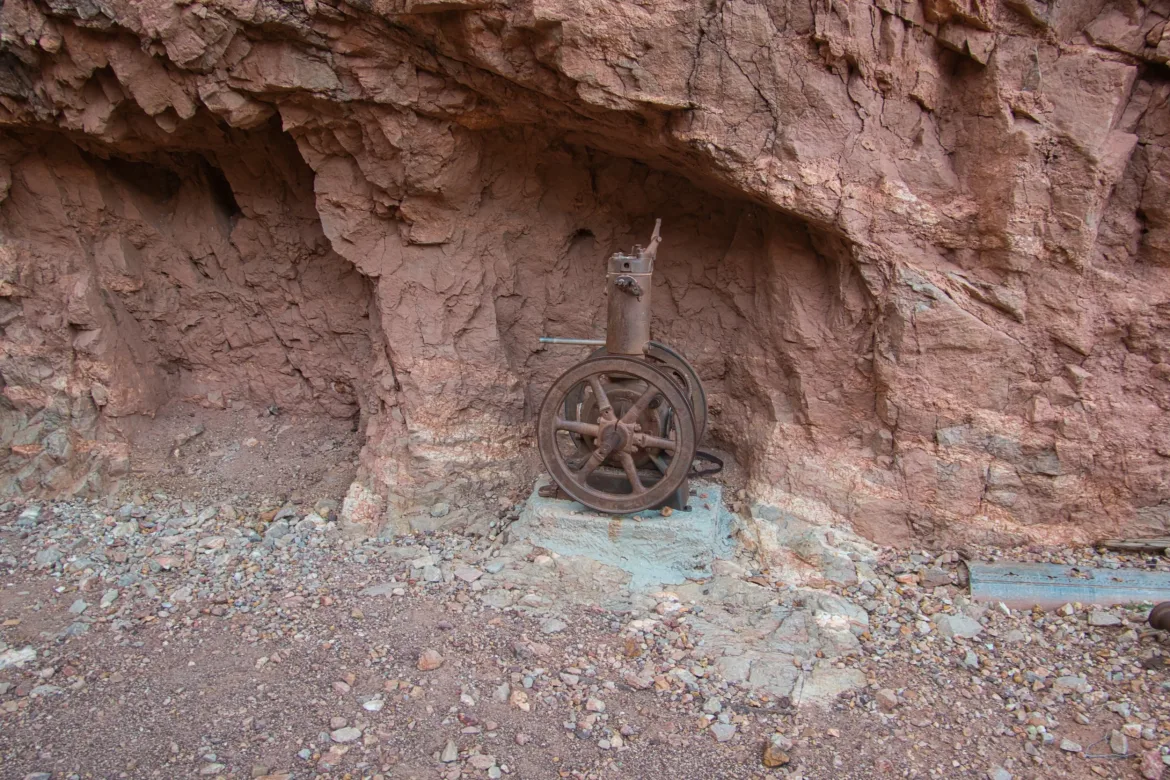
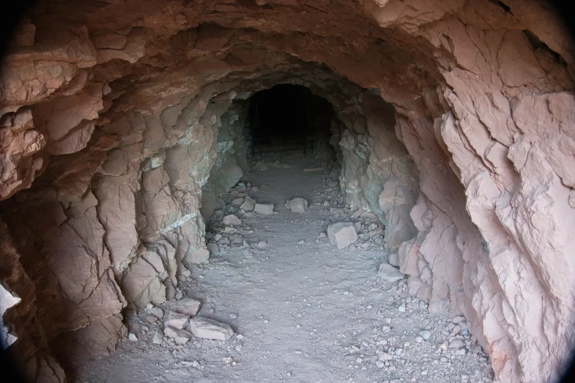
Departing Hance Creek, the trail started climbing pretty steeply. I killed off the rest of my food and trudged upwards. I got to the spring of questionable quality, and I grabbed another 2 liters of water from there just in case. From Page Spring, the trail climbed extremely steeply. There was a lot of old mining activity here back in the day, and I passed a couple of mines. The trail turned into steep switchbacks that looked to be blasted from the rock by the miners so they could access their mines. There were also lots of tailings with interesting-looking rocks. Lots of green, which I presume was copper, but also some bright blue and quartz and gold and all sorts of stuff down there. Pretty cool.
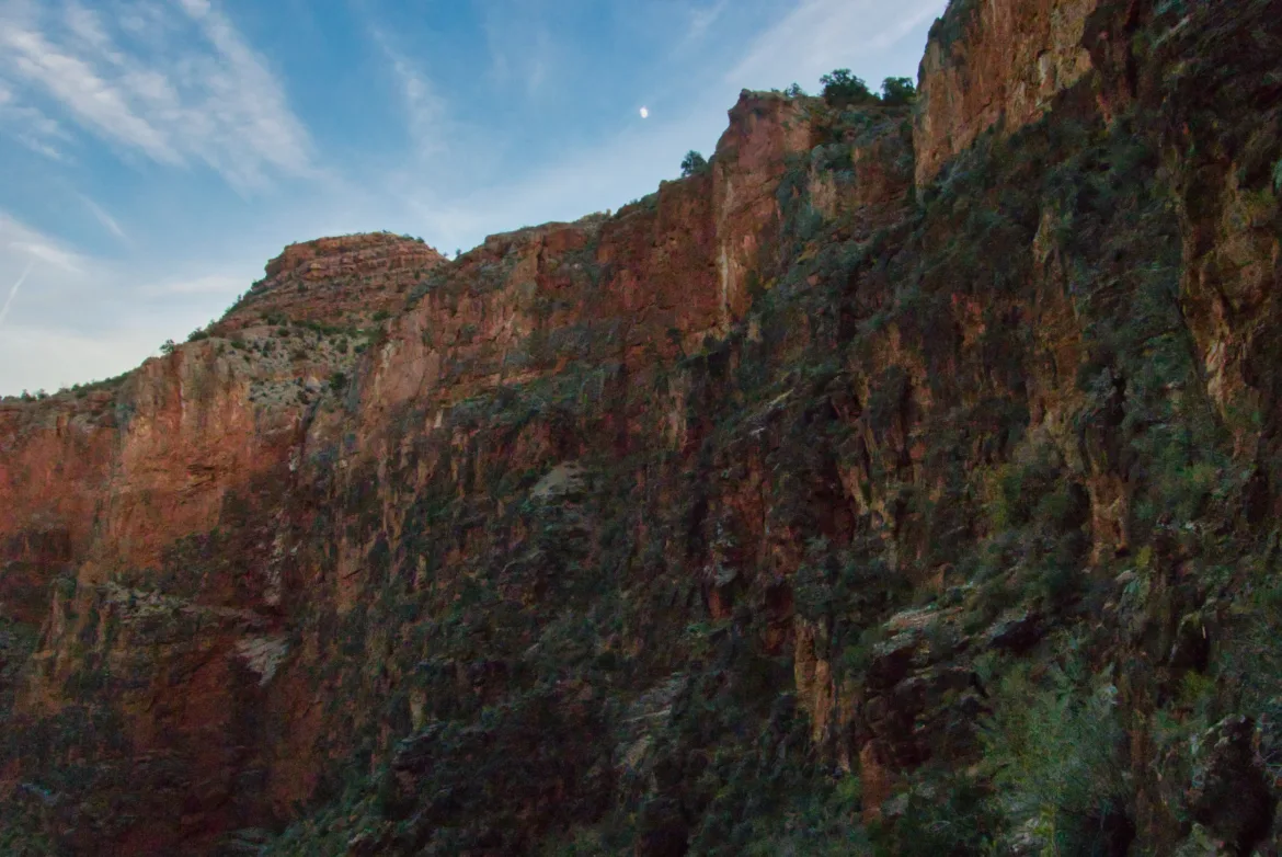
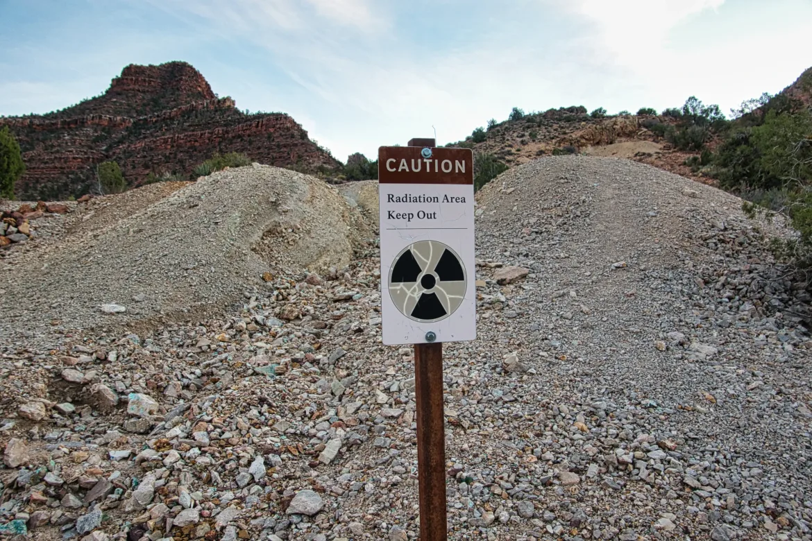
I started going slower and slower as I climbed. I knew I would get to the top, and I was making good progress into a steep, but my energy level was just about drained. When I finally attained the crest of the Mesa, and the trail flattened out, I was overjoyed. I’m back up to 5,000 ft., a 2500-ft climb from the river in the sun. Interestingly, I passed several signs saying “radiation area, do not enter.” The signs seemed pretty old, but I’m not sure if there’s actually radiation in the area since it wasn’t cordoned off at all.
I got to a sign for camping, and there was a flat spot nearby, and that was good enough for me. I’m not sure it’s an official campsite, but I am completely beat, and I will make it work. I got dinner going while I set up camp. It was already dark by the time those were done, and I had to do a bit by headlamp. I prefer to finish in the daylight, but I needed to get here for my permit today, and it was my goal. They should set me up for a good day tomorrow. And maybe even a sunrise tomorrow morning since I’m at elevation.