
Start: Albuquerque lower tran station
Finish: Old lean-to on Sandia Ridge
Miles: 16.94
Ascent: 5000
My friends Angela and Mark hosted me in Albuquerque after I landed last night, and dropped me off at the trail this morning after breakfast.
The Grand Enchantment Trail is a route, not an official trail. It uses existing trails and tracks and sometimes roads, but there is not a single sign for it. Therefore, the route is a bit subject to interpretation.
The route started off at the bottom of a tran station, and 12 miles later it reached the upper tram station, 4000 feet higher. It would have been incredibly easy to hand over my credit card and get a 15 minute ride to the top in the second longest tram in the world, but that didn’t seem like a fitting beginning to a trail, cheating a bit right off the bat.
So I opted for the hard way, under my own power. I was heading out of town with a heavier thru-hiking pack than I’m used to, with 6 days of food in it to boot. I definitely felt the weight with my water load, but I knew this trail would entail some bigger carries, so there was nothing to do but take a couple pictures and hit it before the sun warmed up and made the climb that much harder.
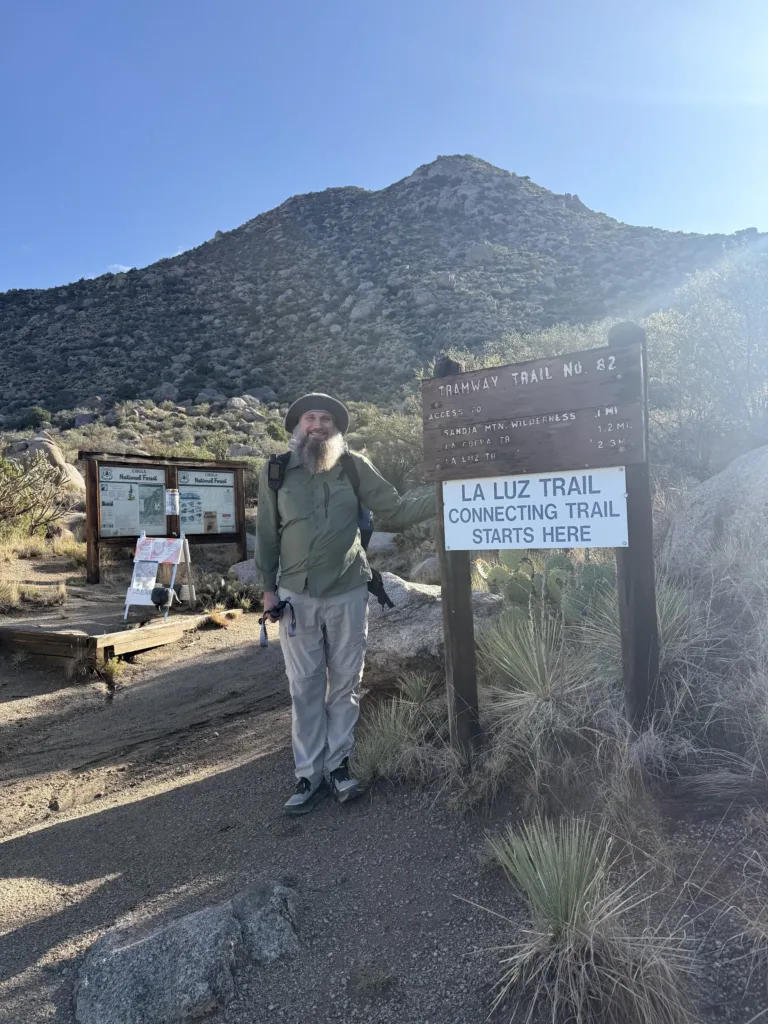
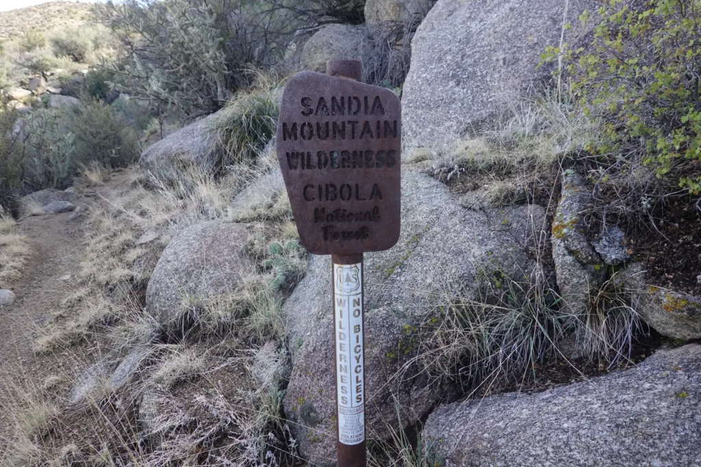
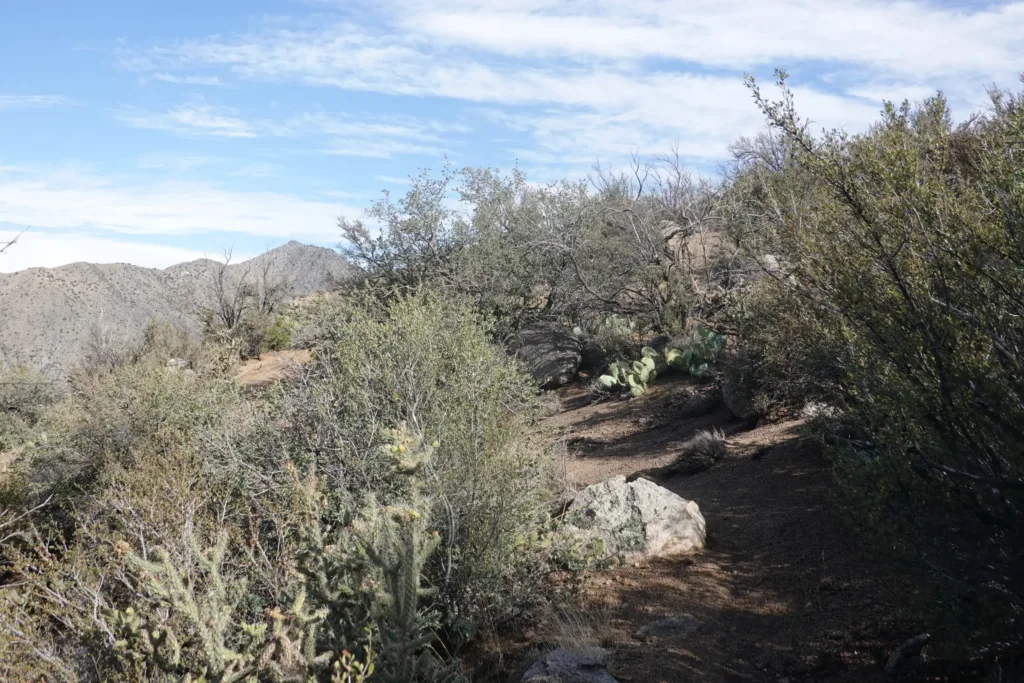
The trail started out with high desert vegetation; prickly pear, juniper, some sagebrush, and the like. It had rained quite a bit last night and the day before, and the desert was awash with the strong fragrance of these plants; a smell that I love and brings me back to my past desert hikes.
The trail skirted some houses and wasn’t spectacular or anything, but the ambiance really got me into the hike; it is so different from vegetation back home in Washington.
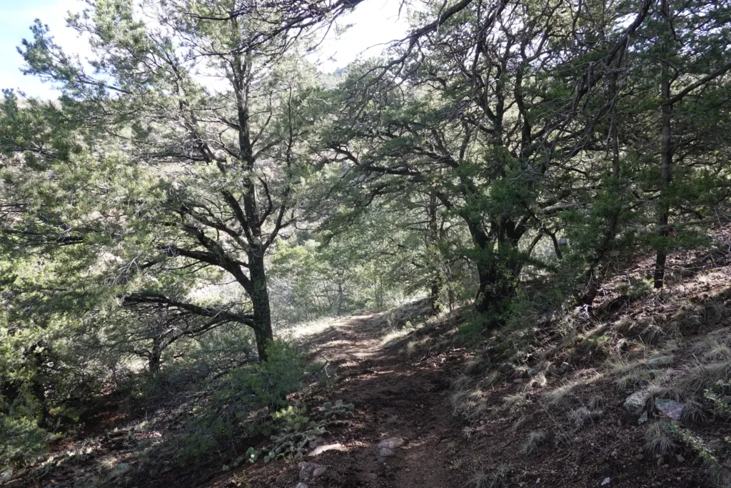
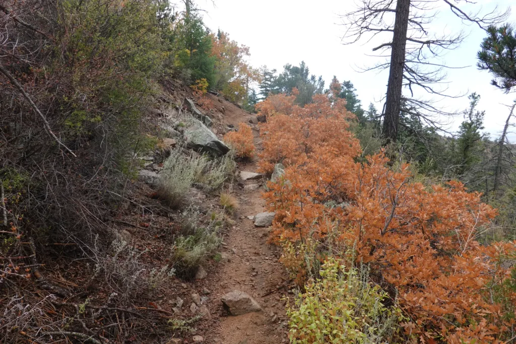
After skirting Sandia Ridge for a while, the trail started switchbacking up in earnest. However, the trail was well built and maintained so it was easy to set a pace and hold it.
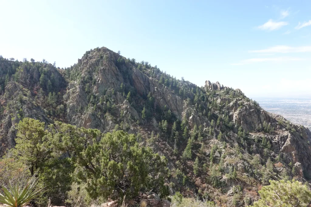
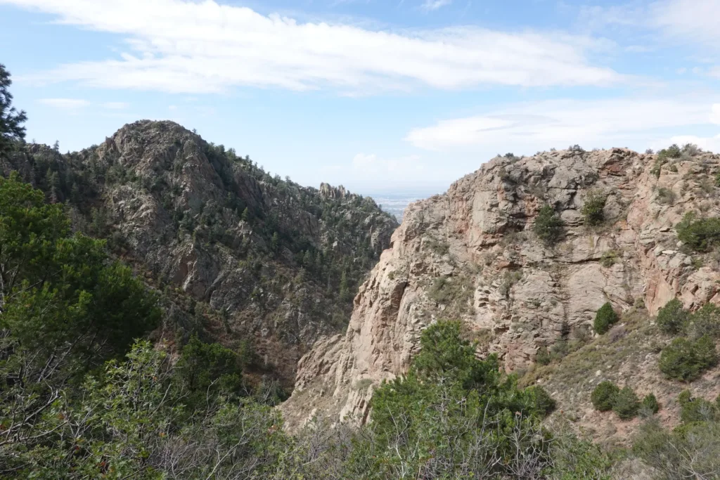
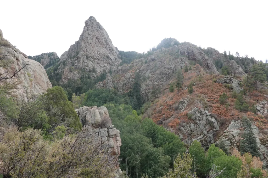
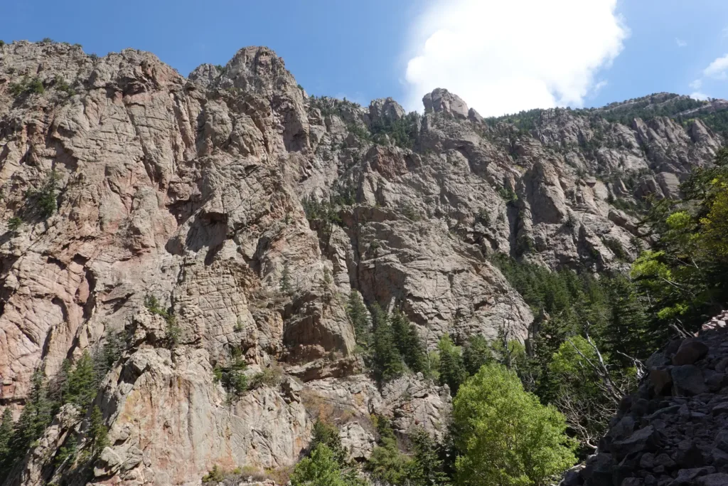
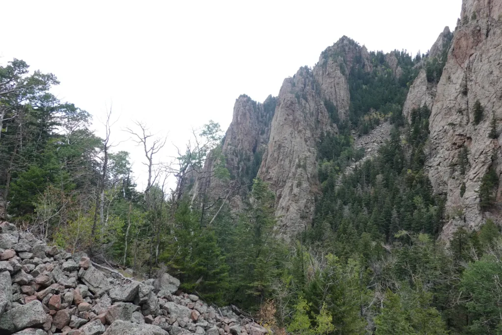
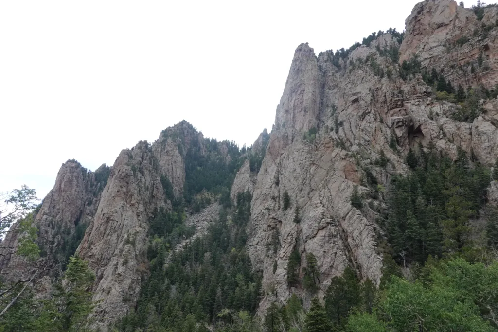
The trail ascended and the scenery changed throughout the climb. The trail wound around massive rock outcrops giving constantly changing views of these spectacular pillars. It didn’t take long for me to realize I had definitely made the right choice with the hike up instead of the tram.
Towards the top, a section of trail I was supposed to take was closed, but there was a bypass that was a little shorter anyways still open. My first of likely many deviations on this trail. Good to get it over with on Day 1. It doesn’t matter to me if I follow a trail precisely, I just prefer to have some type of continuous route.
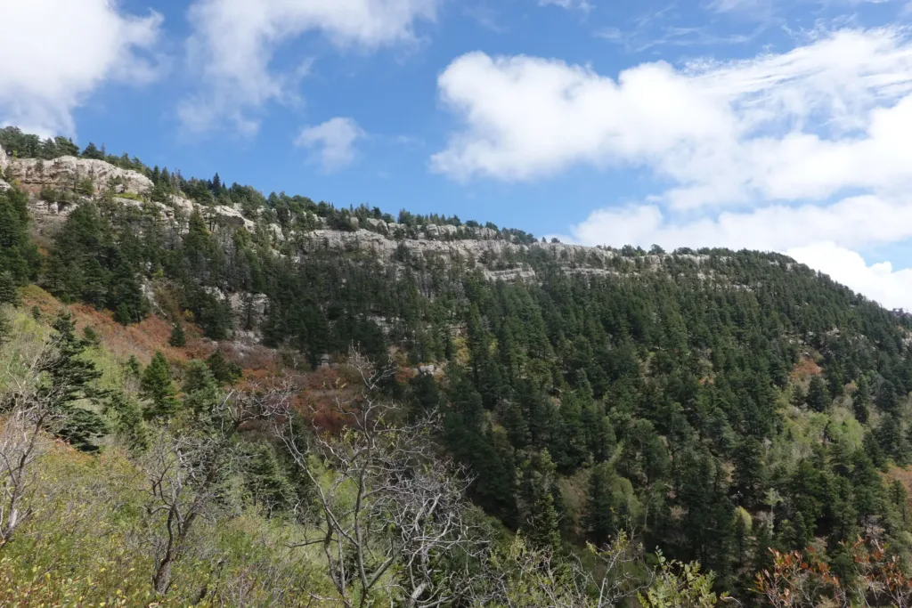
It wasn’t long before I got to the upper tram station at 10,300 feet; quite high considering I live at sea level. I took my first good break at the station which also had water available. Despite the rains of the past 2 days, there was no water on the way up at all.
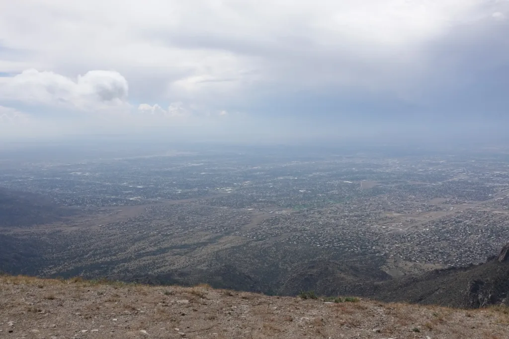
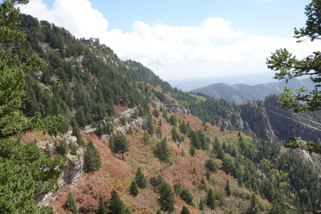
As I was finishing my break, I noticed some gray clouds and rain approaching. I checked the radar and there were some strong cells headed in my general direction, but they may pass to the north while I was heading due south. I was following the Sandia Ridge for the rest of the day, but the trail didn’t stay at the top of the ridge proper and ran on the lee side of the range. I could either wait at the tram station for 2-3 hours and shelter there, or I could just move on. With plenty of trees and shelter, that wasn’t a hard decision for me.
I flew down the trail since I was mostly descending now, trying to distance myself from the storm. The trail was mostly a green tunnel, so that wasn’t too hard. It did catch me though and I heard some thunder and felt a few raindrops. I took shelter in some trees and donned my rain gear. The cells were moving fast, so I figured I could mostly wait it out at a place of my choosing. The first sprinkles turned into hail, though that was very brief and small. The cell passed with just a little noise and rain and I didn’t even see any lightning.
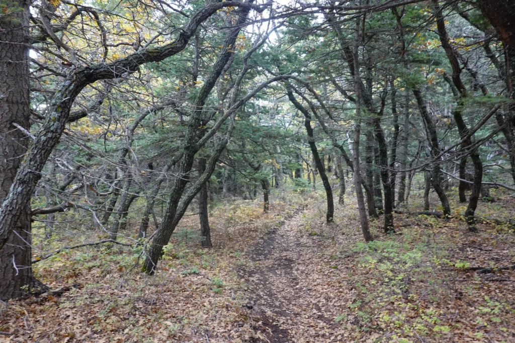
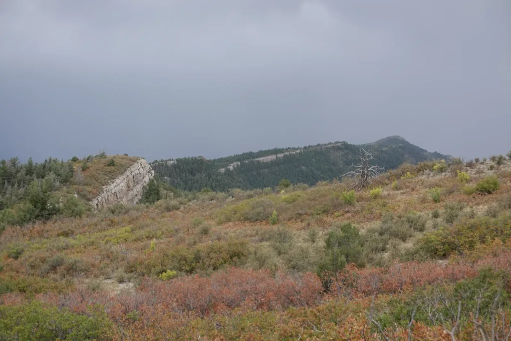
I saw that there was an old lean-to labeled on my map a few miles down the trail. There were storms still around, just isolated, so I figured I should head for that as a goal since it might provide some additional protection if I needed it, or in any case a dry spot to make dinner since that could be easier than in my tent.
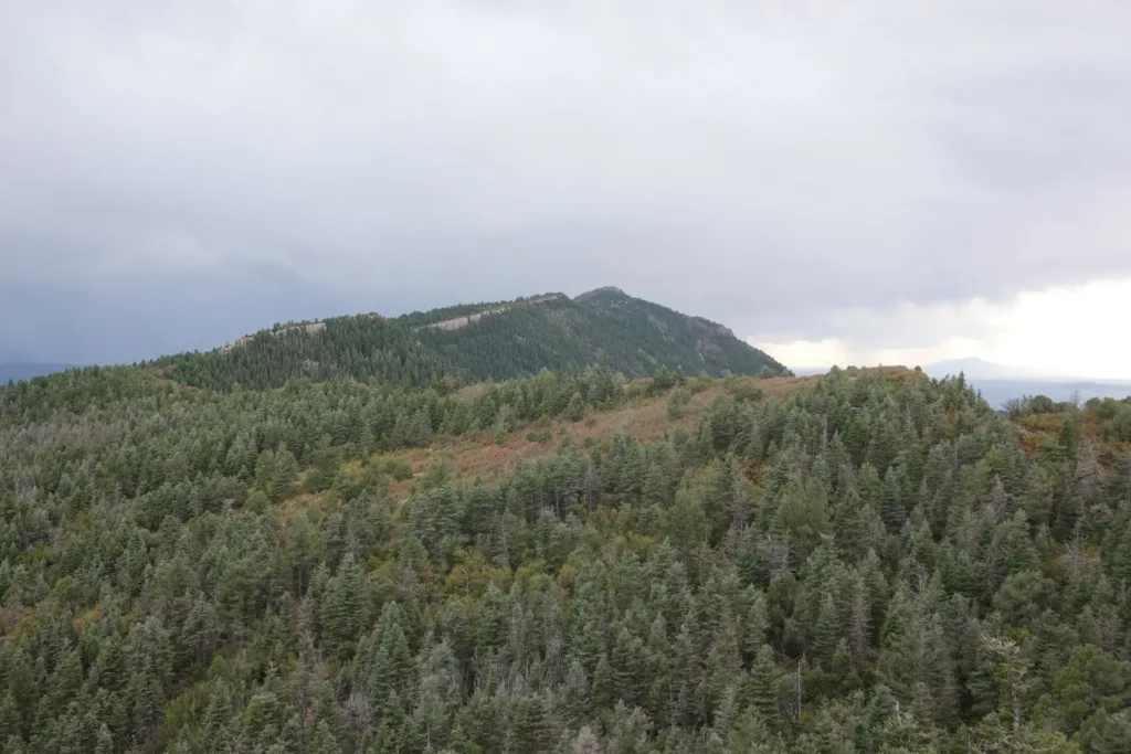
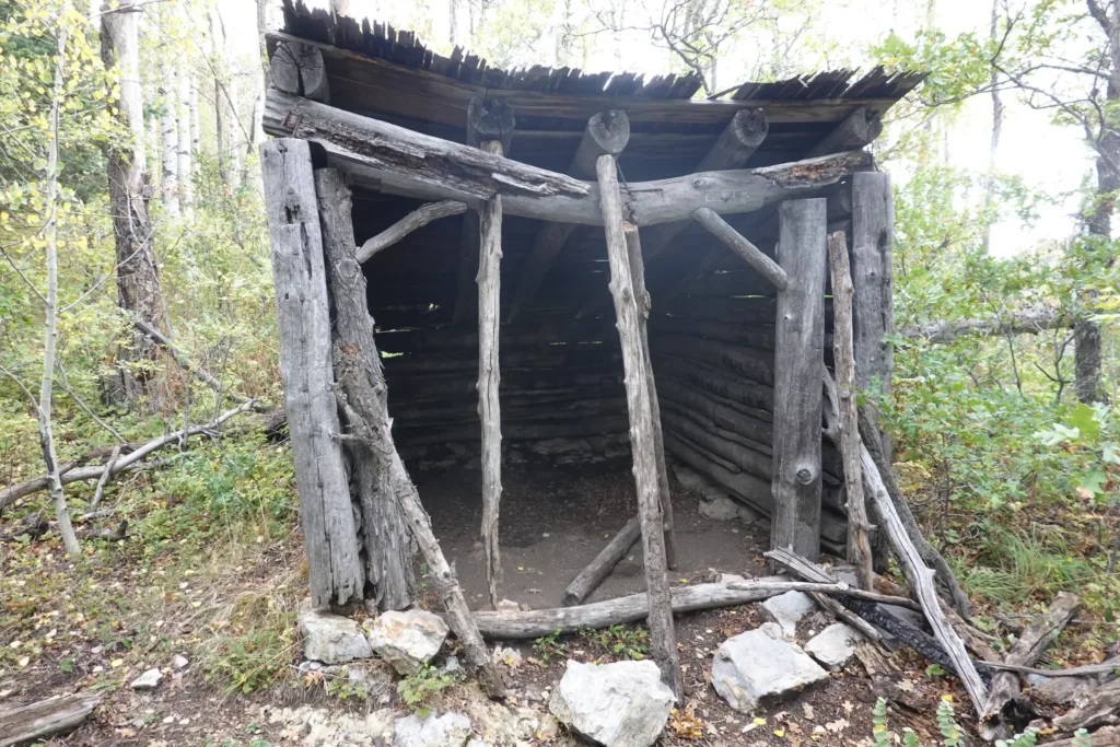
I had forgotten to take out my electrolytes, and I really started dragging the last few miles of the day. With things being a little wet and my food bag being half way down, I was too lazy to grab it and just trudged on. It could have been the high elevation affecting me too. I wasn’t breathing harder than normal, but I did have a slight headache.
In any case, I forged ahead, slower than normal, desperately wanting to find a campsite.
The lean-to was very old and about to collapse, but there had not been much for campsites on this trail. I made due in a damp sloped spot near the shelter. Not my first choice, but I didn’t really want to go further. I really wanted to just sit down.
As I finished my dinner, some more rain rolled in and relegated me to my tent for the night. The rain has been brief though which seems to be the norm for this area.
A tiring but accomplished day. It is always hardest getting going and catching my stride, so my first few days will be a little slower and tougher than later on down the trail.