
Day 42
Start: Tehachapi, CA
Finish: Golden Oaks Spring
Daily Mileage: 16.8
PCT Mile: 583.3
A hiker arranged a shuttle back to the trail in the morning, and we crammed 5 of us in the 4 seats of the car for the ride. Cookie Monster, Manny, Lanyard, Lou, and I would end up leap frogging throughout the day and staying at the same campsite.
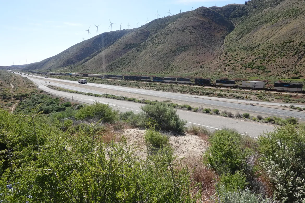
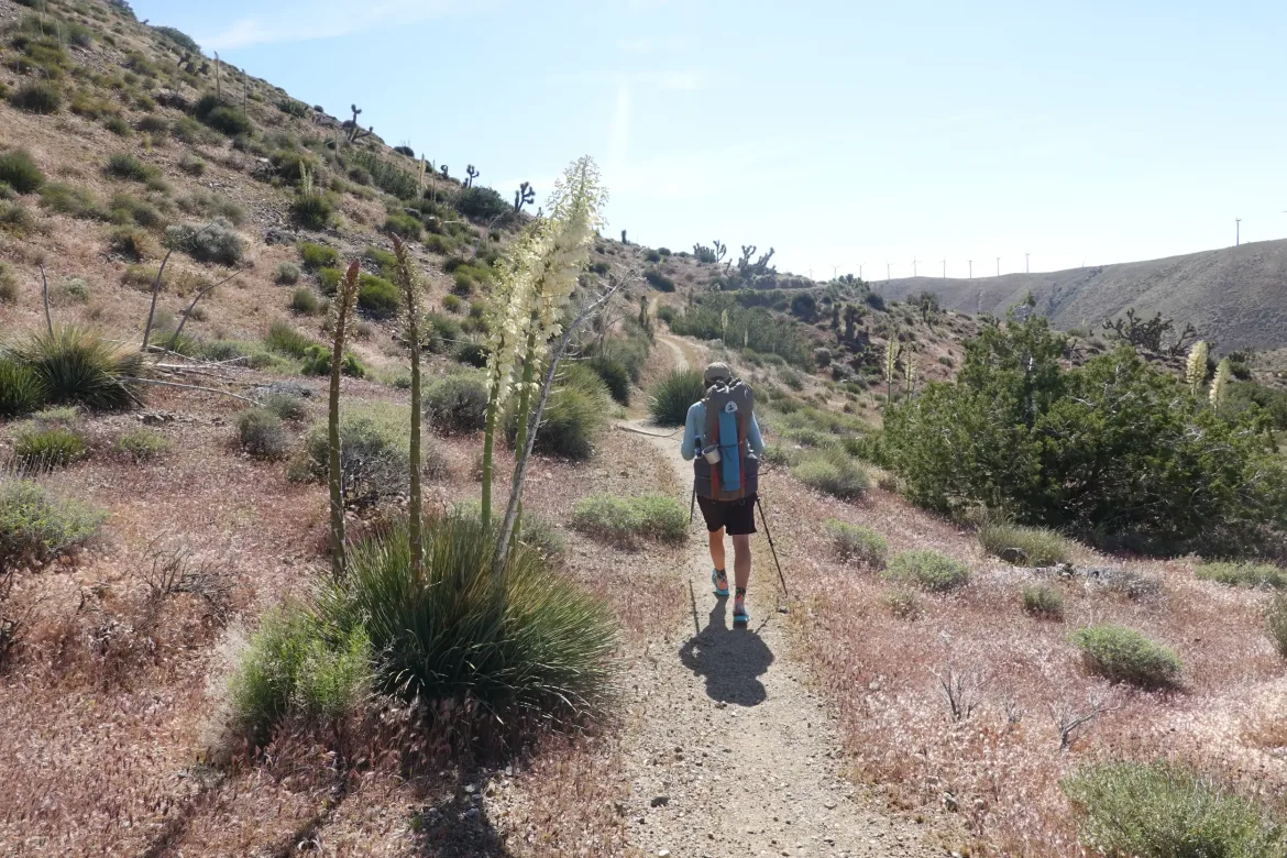
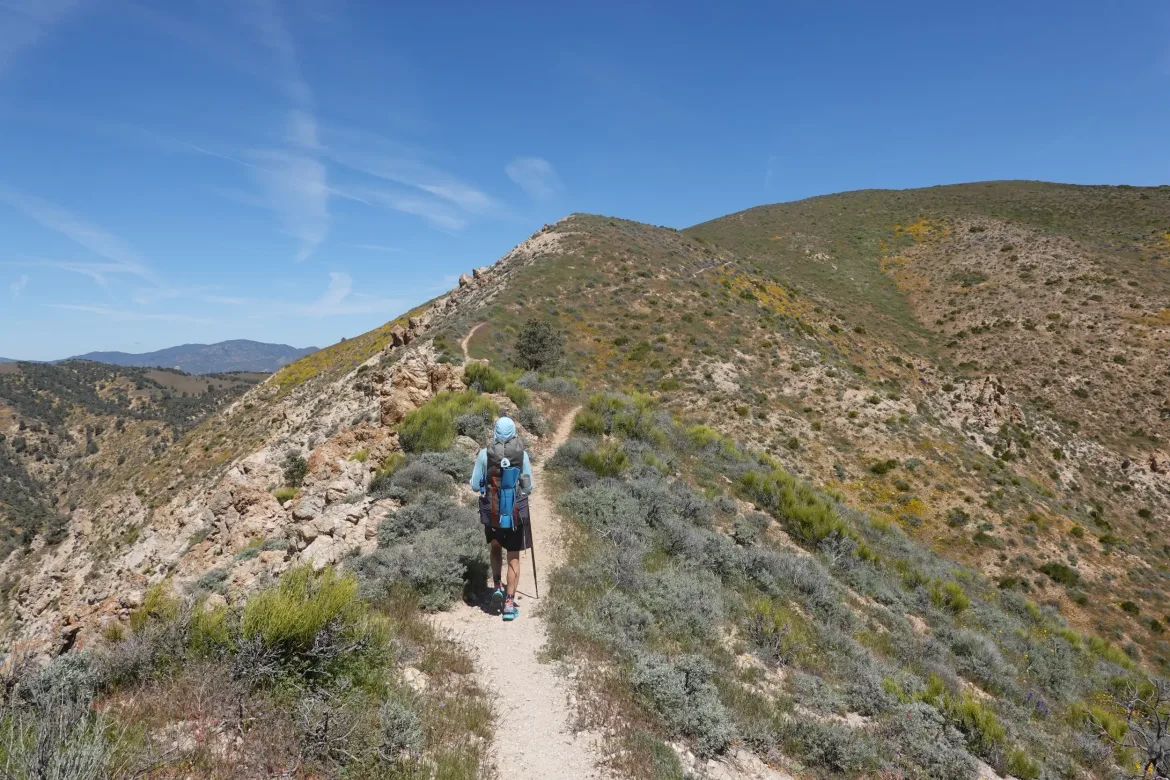
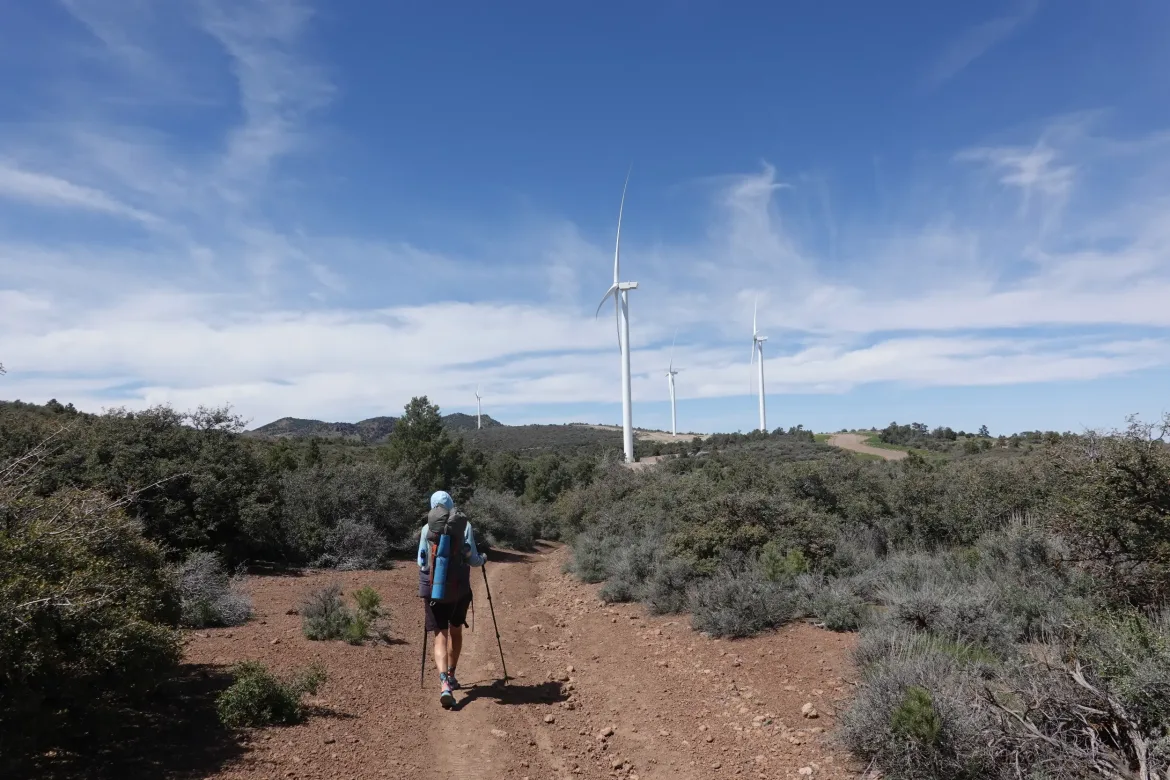
The trail started paralleling the highway we started at for a bit through Joshua Trees before turning uphill for the inevitable climb out of town with full loads of food and water. We didn’t start first thing in the morning, but there was wind through the pass feeding the wind turbines that kept the climb manageable.
When we took off in the morning, we could still see the remnants of snow on the mountain above where we stayed the night from the storm our first night in Tehachapi, but we never actually saw any snow throughout the day. The ground was just slightly damp at times and you wouldn’t have known that a storm had rolled through. That’s not the case in the Sierra though where I heard they got another 2 feet in the storm. Not what I wanted since the melt had been progressing well, but better than it dumping on us while we were in it.
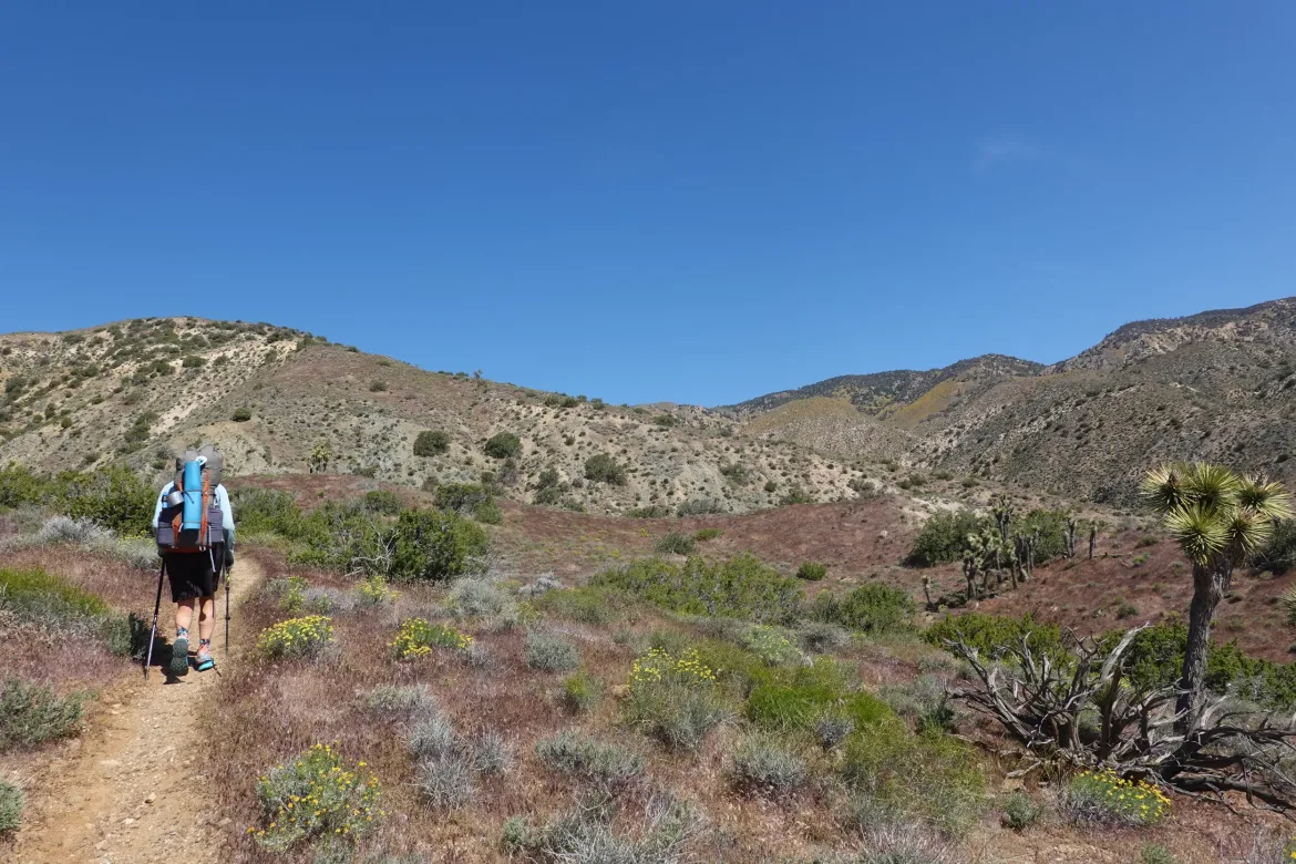
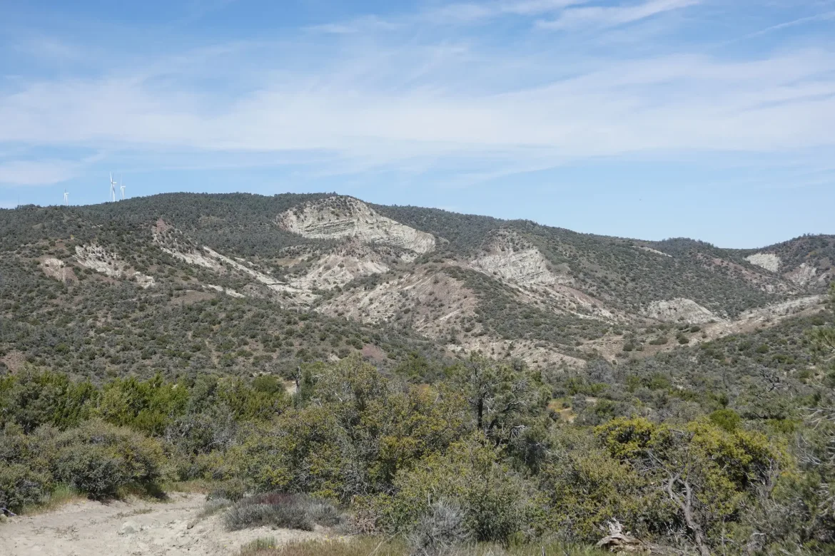
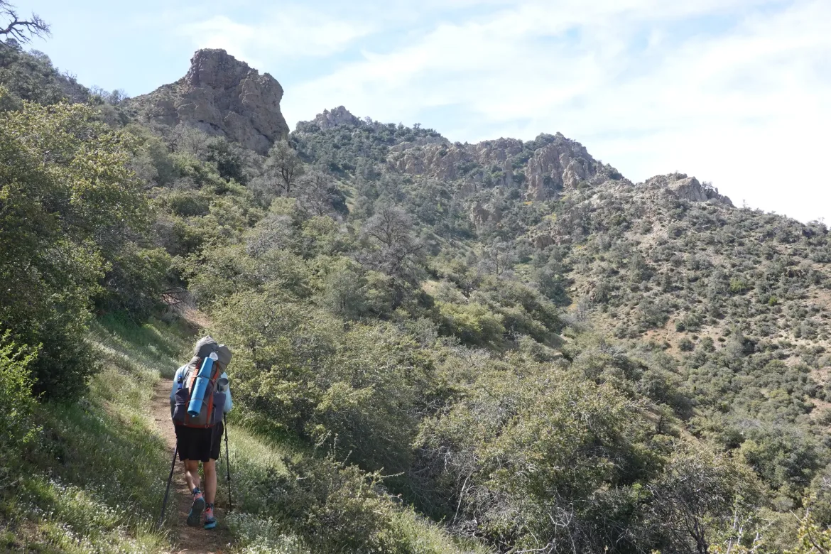
Atop the ridge, the terrain around the trail was a bit different than it has been. The rock had more shear broken faces, and a lot more color. There were reds and whites in the rock, and a ton more variation than there has been in the mostly plain rock along the trail so far. A welcome change with the additional character.
I had a massive breakfast of two large pancakes and three eggs, so we pushed lunch a bit, but stopped with Lanyard and Lou for a bite with views over the Mojave. It is large and flat. You can see some salt flats and other desolate and barren terrain in places. Quite a difference from the forested mountains on the other side of us.
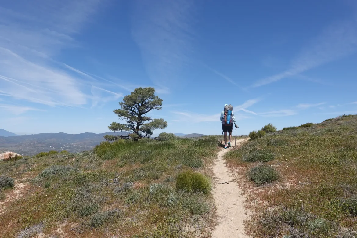
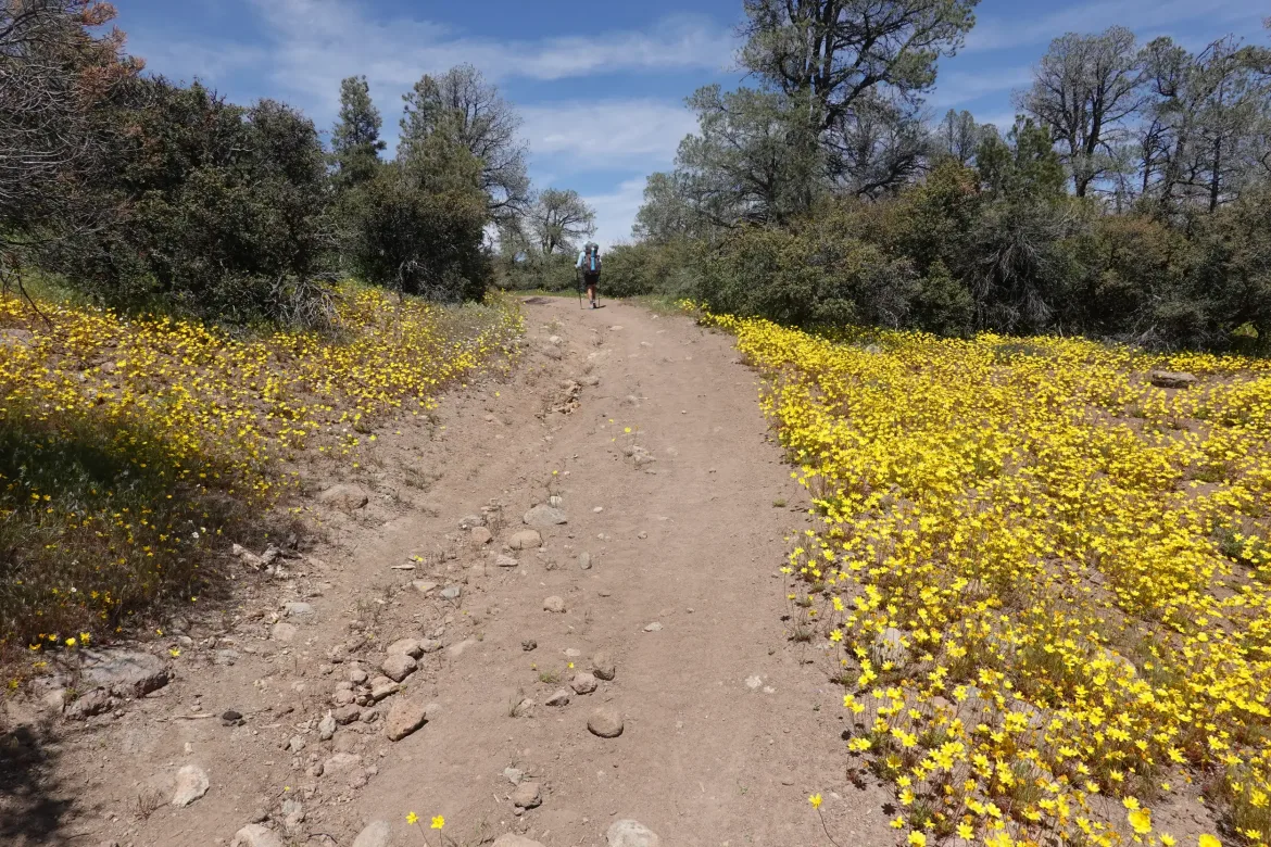
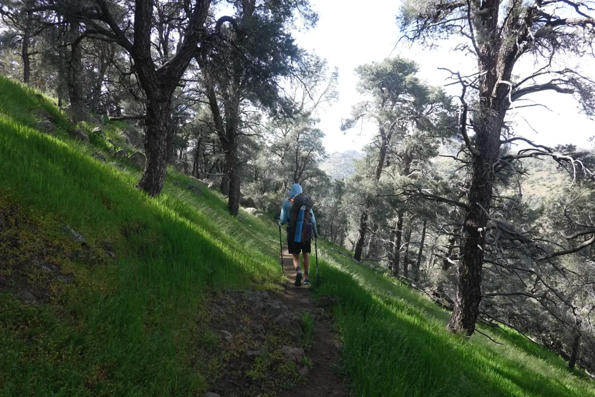
There was nice pinyon pine forest today when we were at elevation which was nice for some partial shade and character. And no signs of recent fire which is always nice.
The trail followed a rocky 4×4 track for a while which is a rarity. It typically tries hard to stay off shared use thoroughfares. With the wider road, there was not much shade as we climbed the next bump in the ridge, but it wasn’t horrible.
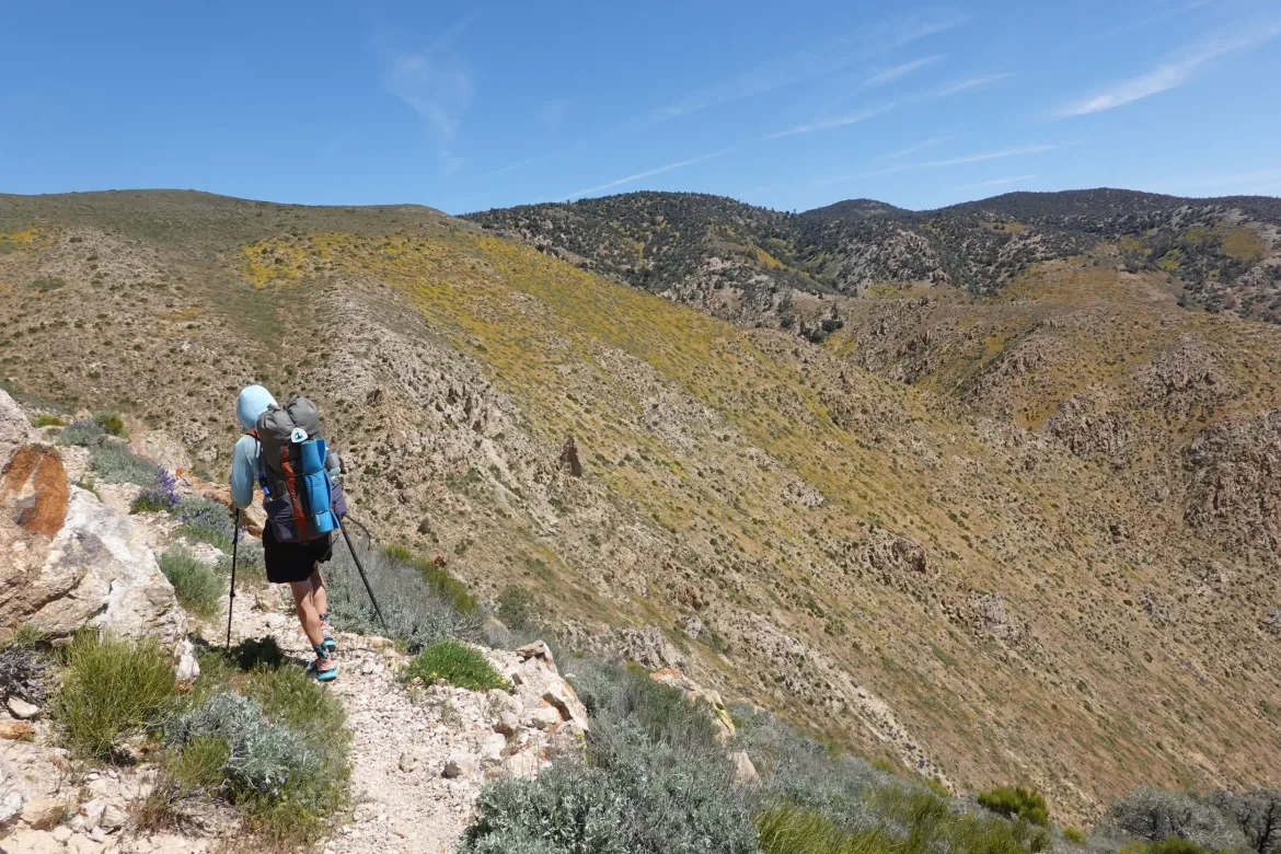
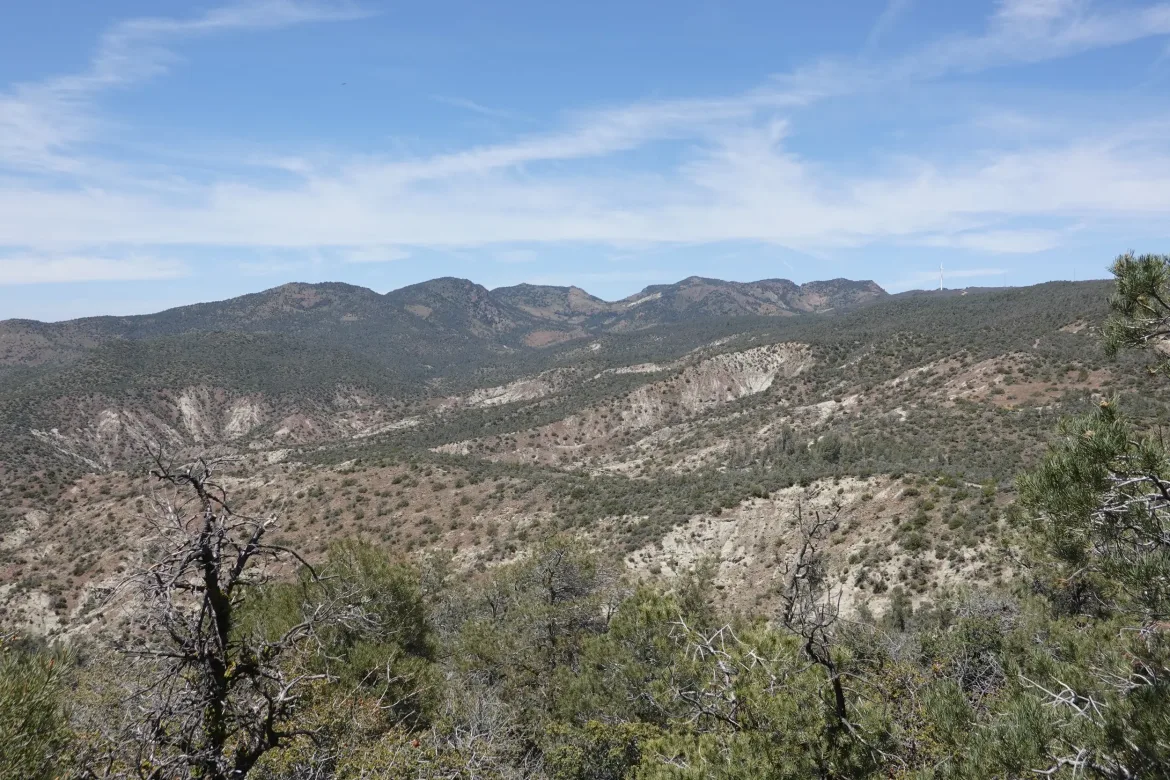
As we crested the top of the ridge, we could see several snowy peaks to the north – the Sierra where we will arrive in about a week! This was our first sighting of this legendary and challenging part of the trail. Mt. Whitney, the highest peak in the lower 48 was a blip on the horizon. We had also seen all the way back to San Jacinto earlier today, so we saw points on the trail a full 600 miles apart! This trail obviously hasn’t taken the most direct route.
From there, it was easy flat and downhill for the rest of the day. We entered yet another wind farm and ended at Golden Oaks Spring which was the first reliable water source since town. All of us camped around the spring since it was the obvious place to stop for the day. There are fewer water sources in this section, so our hiking will have to revolve more around them.
The hiking today had slightly different geology than previously which was a good change, but by far my highlight of the day was the first sighting of the snowy Sierra, the next challenge looming before us.