
Start: Robinson Wash
Finish: Sandridge Wash
Daily Mileage: 25.4
Trip Mileage: 913.0
Elevation gain/loss: 1849/1054ft
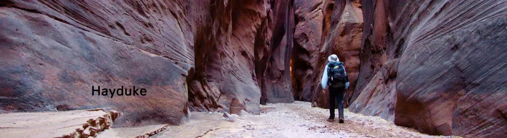
The wind calmed down overnight, although there was still a gust every now and then. I was on the road as soon as it was light enough to walk. I finished up Hatch Canyon, climbing out through the end of the canyon. The walls gradually got lower and lower as I approached the end of the drainage, and then they just disappeared. I touched the very end of the canyon wall since that’s my last trace of the Grand Canyon.
A couple of miles in, I came across a hunter’s camp next to the road I was on. They asked me if I was all right, saying they didn’t expect to see anyone walking out here, and I explained what I was doing. They said they had just finished breakfast and put it away unfortunately but rooted through their stuff to see if there was any food to give me. I ended up with a tortilla with cheese and tomato and bananas and apples. It was about 9:00 a.m., and they even asked me if I wanted a beer. I said, “Why not?” and they gave me two Bud Lights. It’s pretty much water anyways. I hung out, we chatted, and they tore down their camp for about an hour before I headed on. Thanks to Landon and his crew!
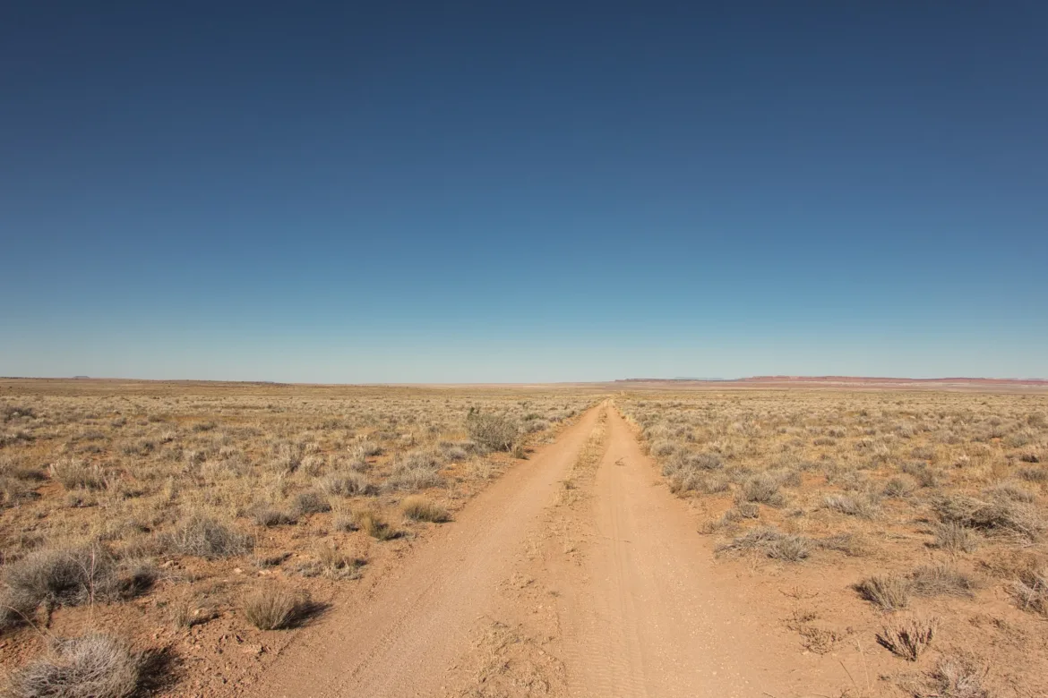
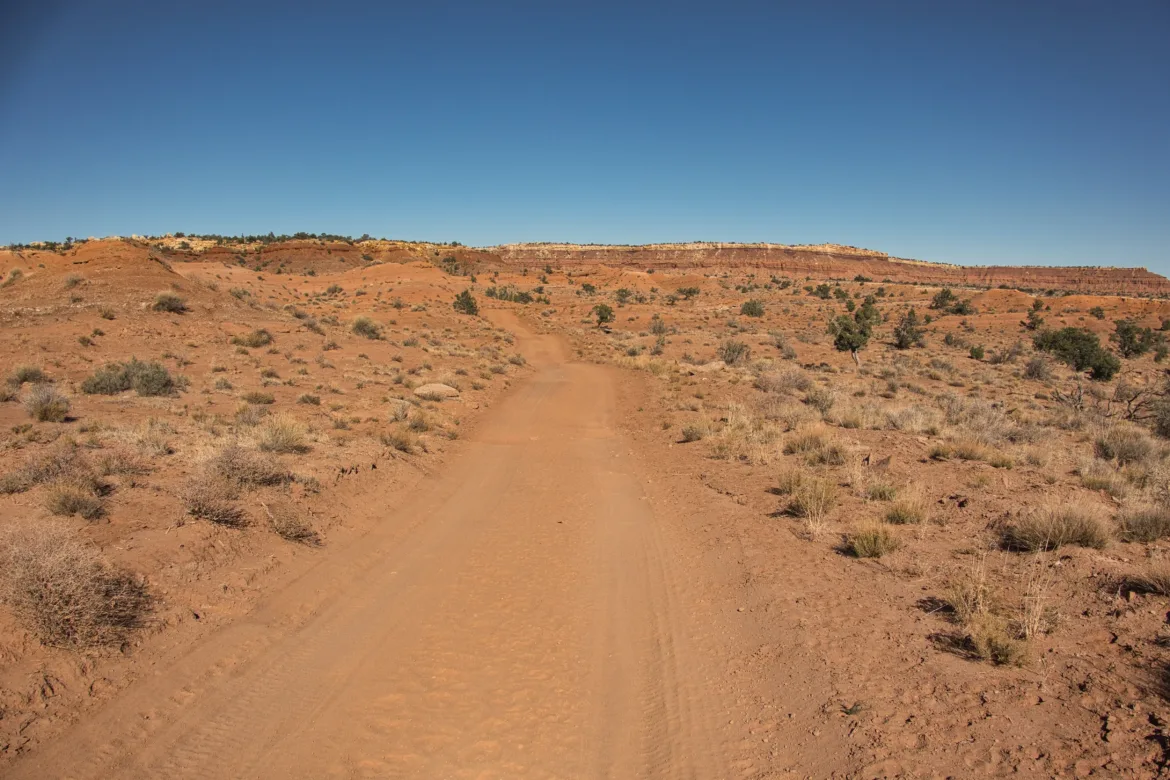
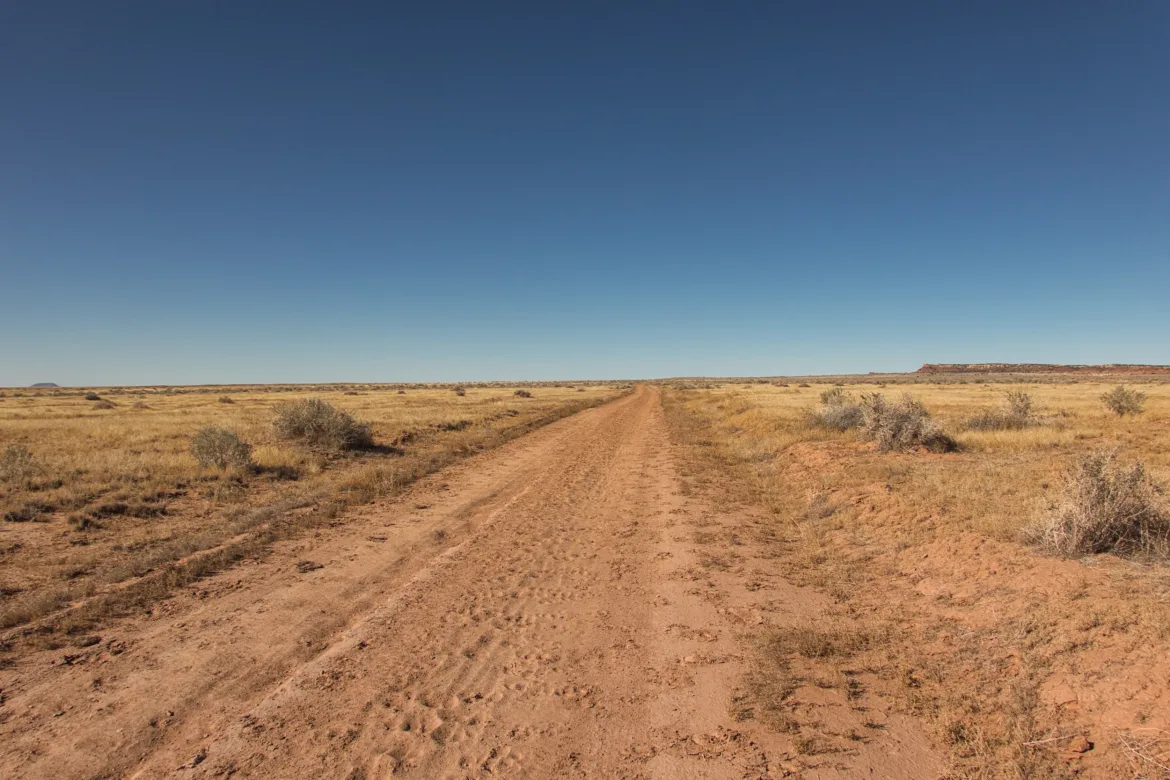
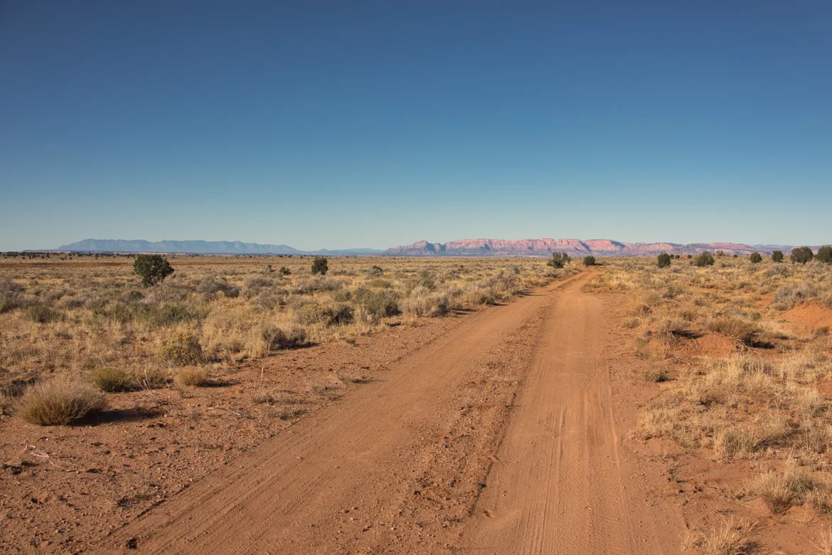
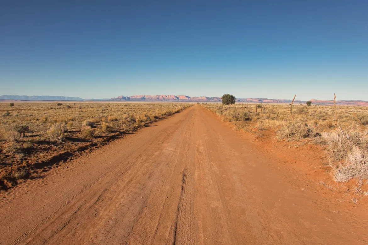
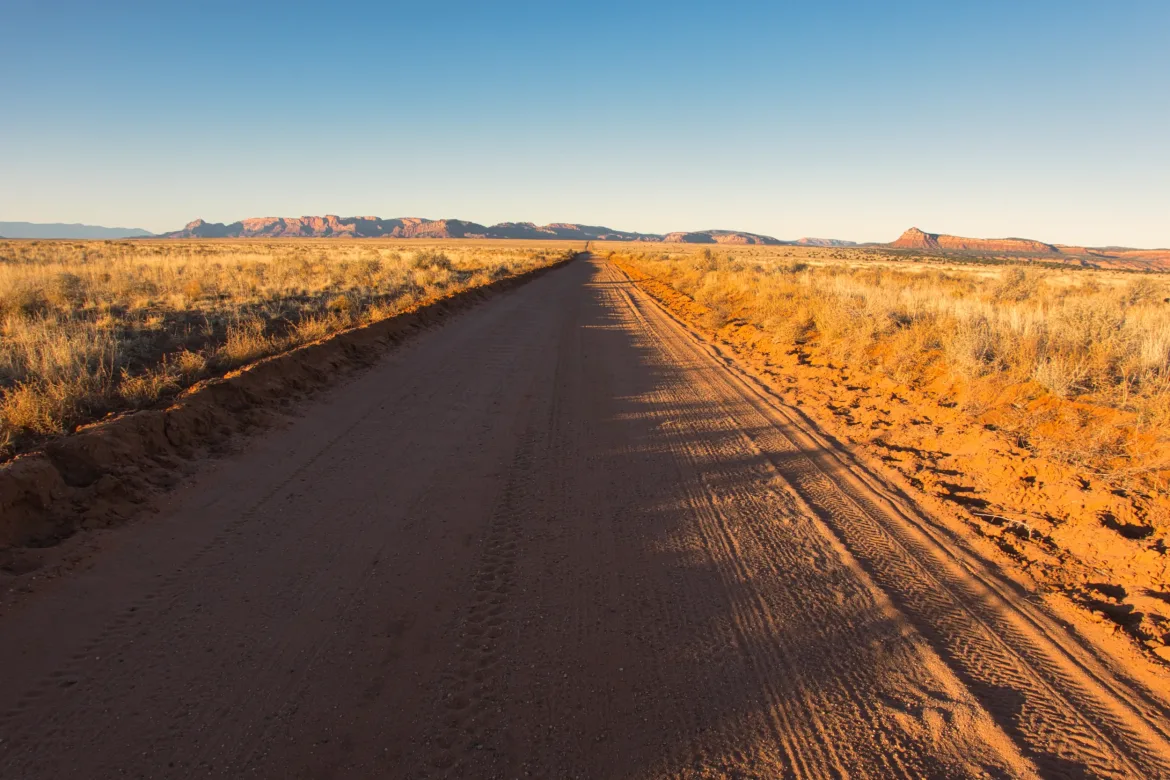
Then it was more Arizona Strip. The strip is pretty much just a desolate area. It’s almost flat, and there are no trees or anything; it’s just perfectly flat desert. Not really exciting at all, especially since I’m just on roads through here. Some of the roads were perfectly straight, and I just had to follow them for miles. No traffic since they’re backcountry tracks, just cow traffic. I definitely had to put on an audiobook to keep me going today.
About halfway through the day, I passed Yellowstone Springs, which had good flowing water and ended my approximately 40-mile water carry. I ended up seeing water a number of places in between when I picked up water and now. Some flowing water yesterday which I mentioned, and several cow ponds today. The hunters also obviously offered me some water, but that’s not something I would have planned on.
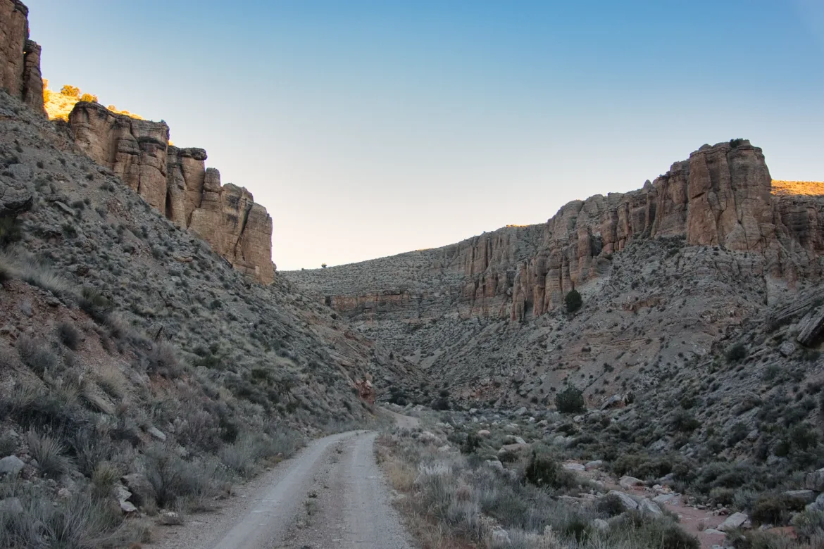
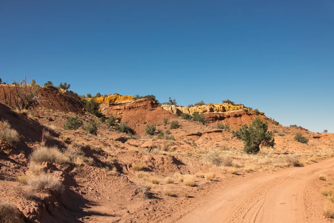
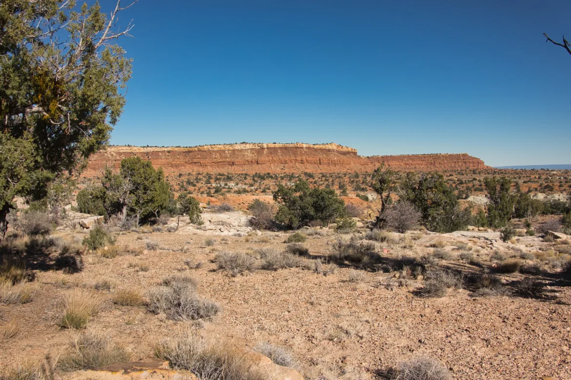
There was some cool terrain around Yellowstone Springs with red and yellow layers of rock and then layered stone sand dune-type things. That was about the highlight of my day, which isn’t saying a whole lot. That area even had some junipers which got me excited for possible shelter at the end of the day, but the juniper quickly disappeared, and I was back to an even flatter, more barren, desert.
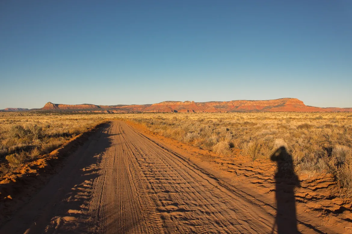
It was really just a grind, and I wanted to go as far as I could this afternoon to make tomorrow shorter into town. I ended up getting a little less than 5 miles from the road into town, which was what I aimed for. It was windy the entire day, and there was nothing for me to really shelter behind for camp. I set up on the downwind side of a sage bush, which is the best and saddest shelter I could find. There’s just nothing around here. It’s a horrible spot too, in the middle of a cow trail, lumpy, and there is a ton of tumbleweed and other pickers that I had to clear out to set up my tent. Hopefully, I got enough cleared that my tent and pad won’t be punctured overnight.
I hid in the lee of my tent, did my dinner and chores, and the wind died down a little bit as it got dark. I think it’s going to be a pretty cold night, and hopefully, the wind isn’t too bad. I watched the sunset, but it was under high-voltage power lines, so not the most scenic thing in the world. Not an exciting trail today, but it’s needed to connect up the areas.