
Start: Crazy Jug Canyon
Finish: Deer Creek
Daily Mileage: 9.4
Trip Mileage: 846.2
Elevation gain/loss: 1812/3256ft
I didn’t set an alarm since I had another shorter day today, but I was still up unusually early. It’s so much better than waking up to the alarm clock, though.
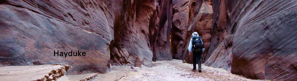
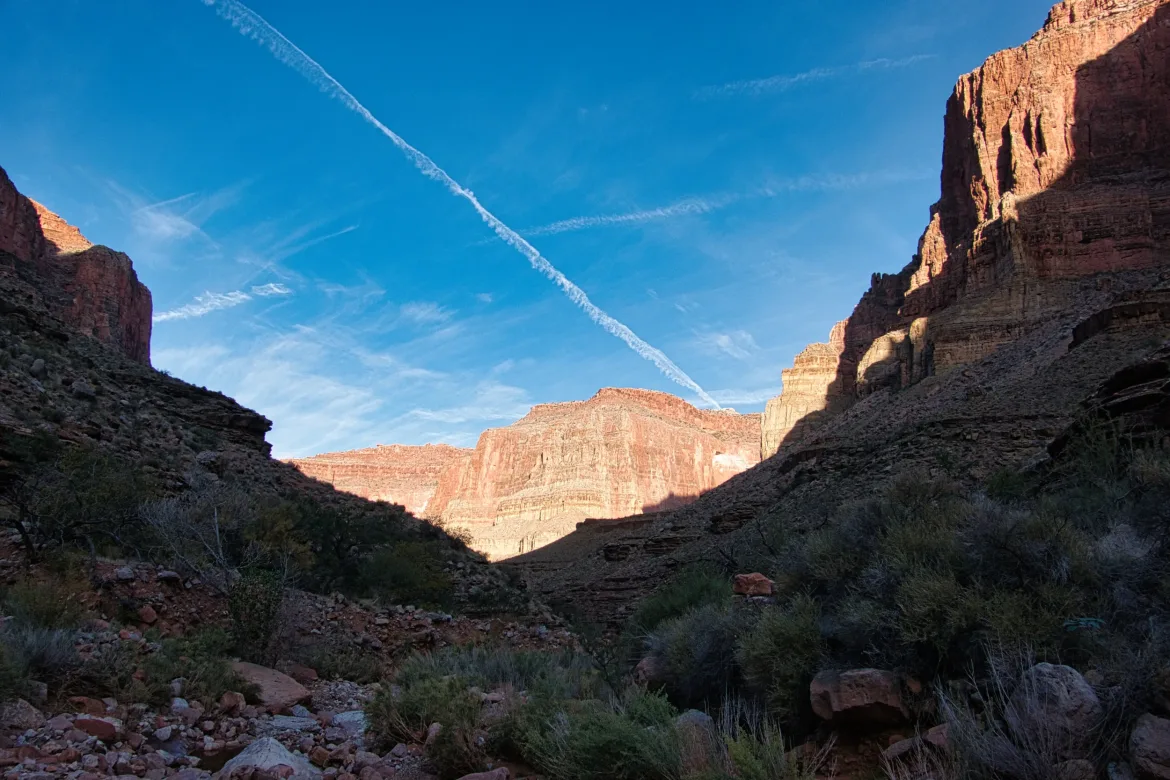
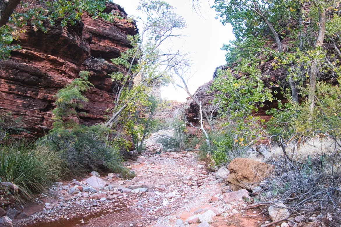
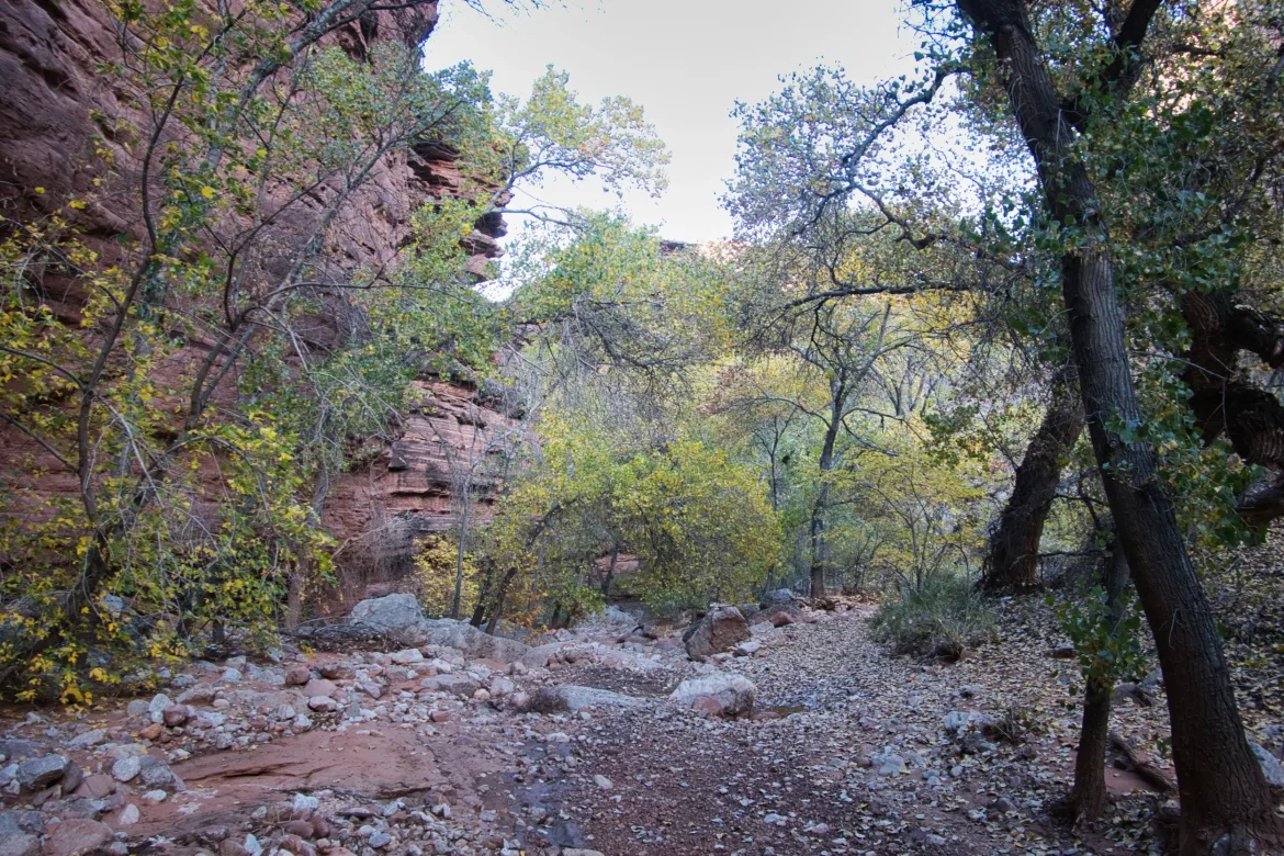
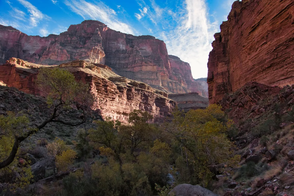
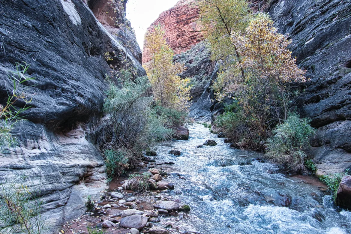
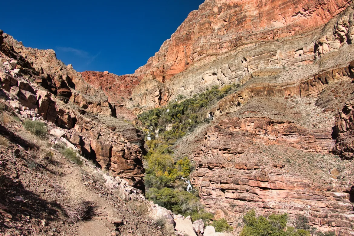
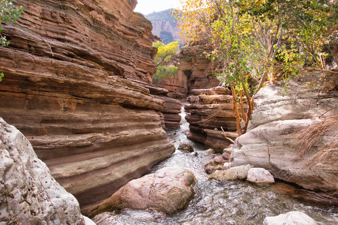
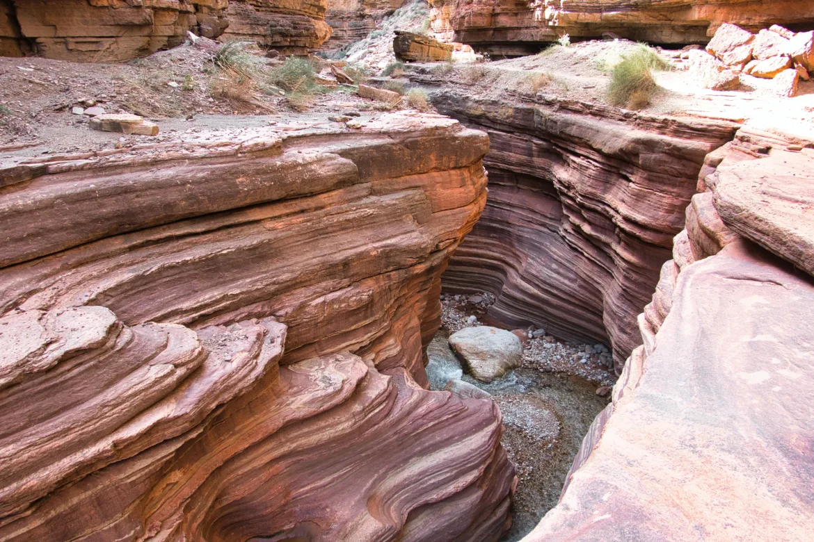
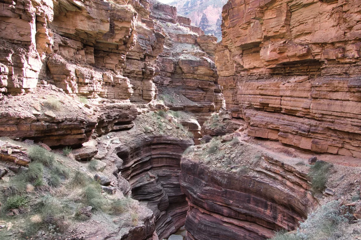
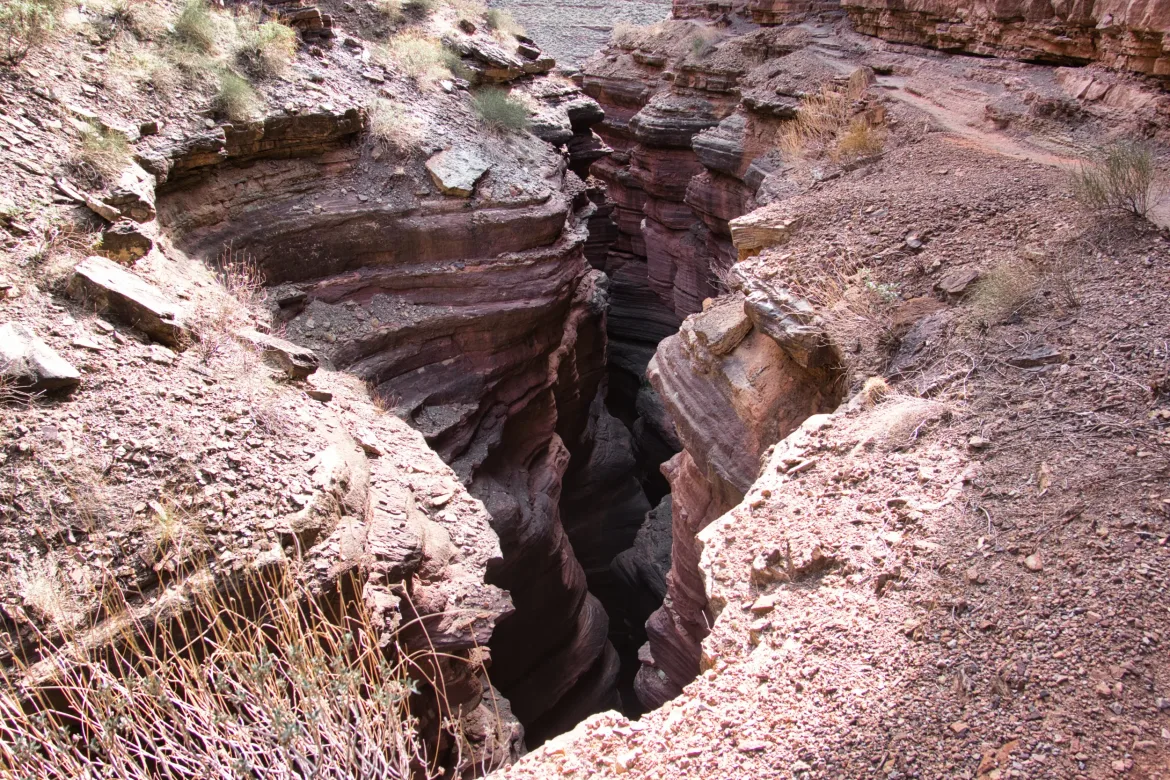
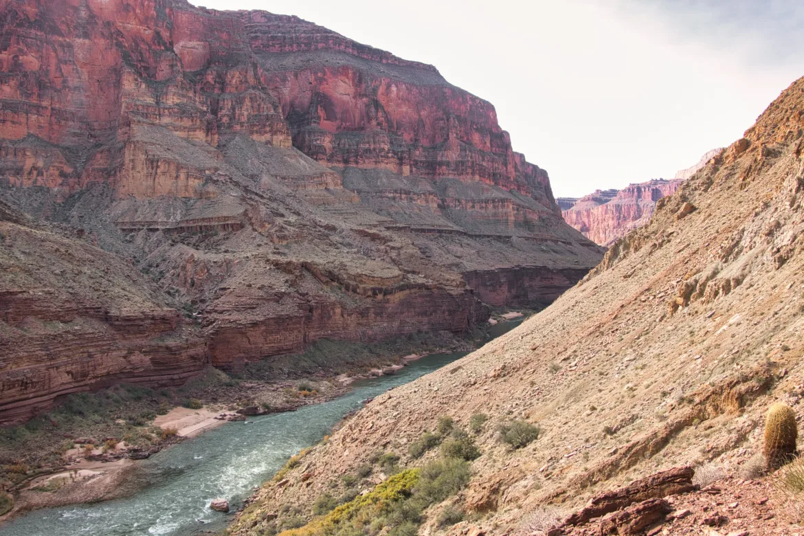
I continued down Saddle Canyon, which now had flow from Crazy Jug. However, the flow wasn’t very much, so it didn’t make travel difficult. It was the typical weave back and forth across the stream, but I mostly just followed the stream bed as the footprints of the others ahead of me had. Travel went pretty well, and I made good time. The canyon walls closed in and opened up, alternating back and forth. There was one section which was really scenic with tighter canyon walls but still enough room for a bunch of cottonwoods to grow. The cottonwoods still had half-green leaves on them while the other half were just starting to change. Surprisingly, not everything is changing down here yet.
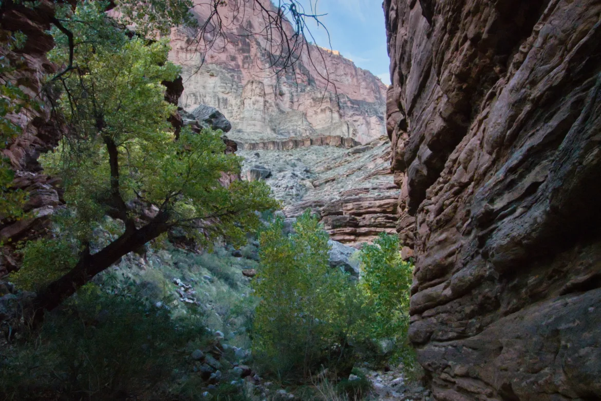
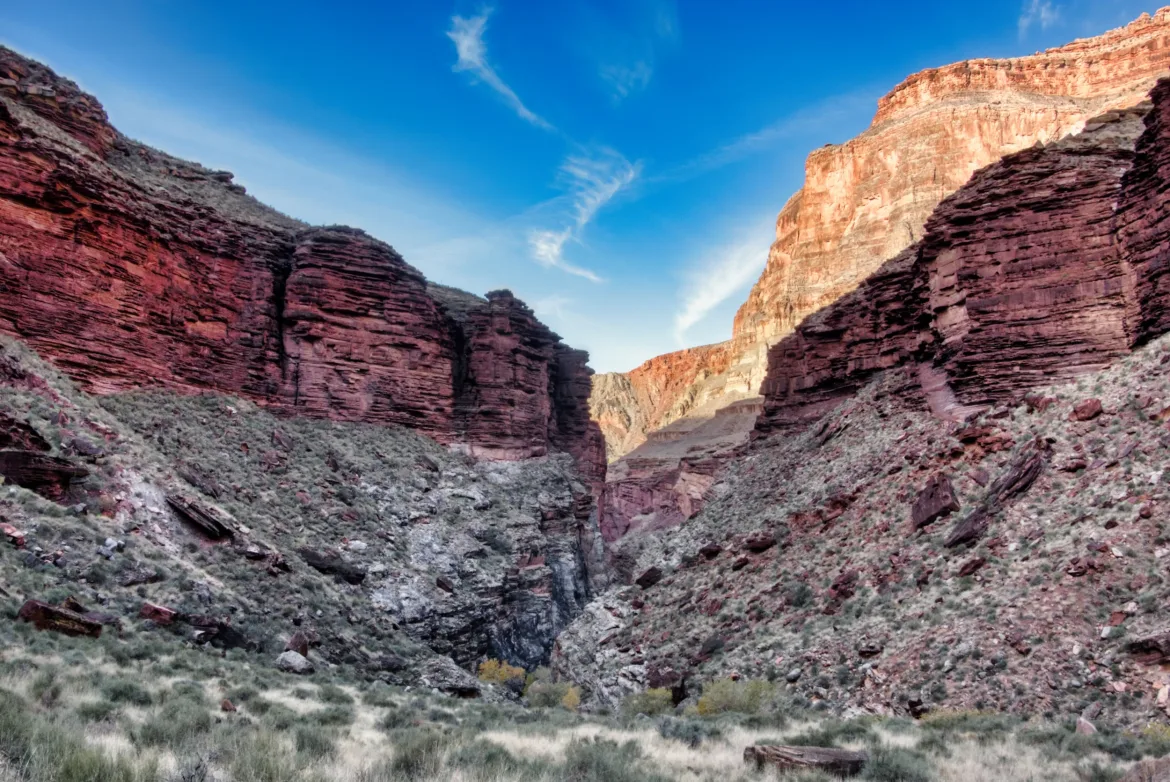
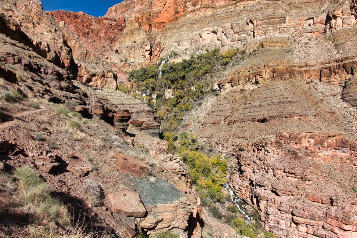
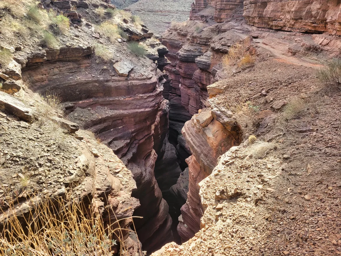
I approached a side canyon coming in which had the source of Tapeats Creek. My guidebook made it sound like this creek can be sketchy to cross, and at times you may just have to turn around. However, it’s about impossible to go back the way I came since I went down some chutes that are pretty much irreversible. So it pretty much leaves you in a tough spot where you have to go forward. I wasn’t really concerned since it’s not spring melt or anything like that, but as I approached the stream, I could hear an alarmingly thunderous roar coming from it, and I began to fret. It did not sound like anything that would be remotely crossable.
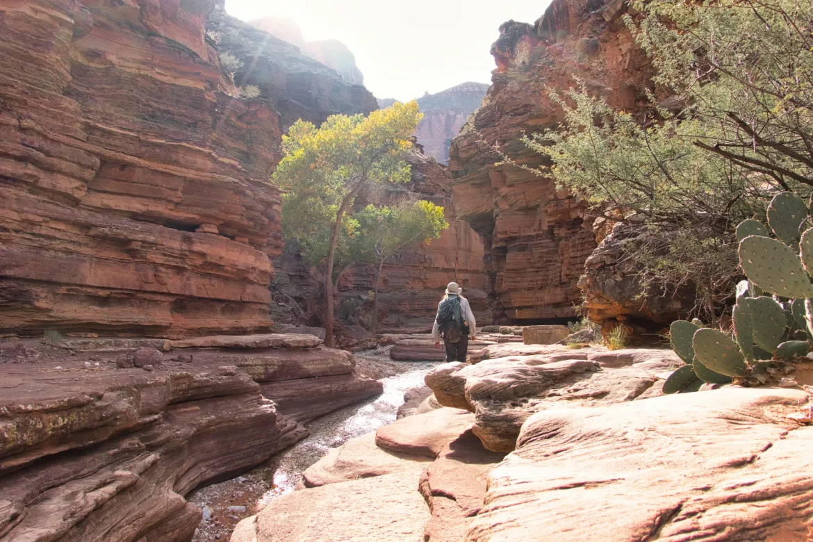
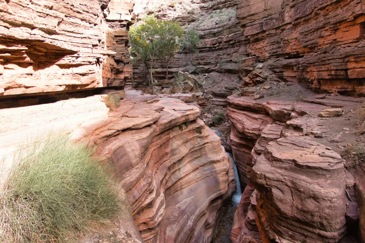
I did come across a big campsite and then some worn paths picked up heading down the canyon. It’s always promising to see a good treadway where people have traveled before. It gave me a little bit of confidence that it might be possible to continue downstream. I got to Tapeats, and the stream was raging very quickly and cascading downwards with often white water. However, it didn’t look impossibly deep as long as I crossed at the right spot. However, the way trail picked its way through ledges above the stream for a while, so I gladly followed and figured I would stick with the path as closely as I could since it appeared well-traveled.
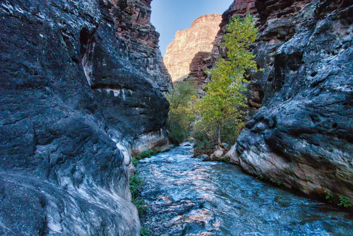
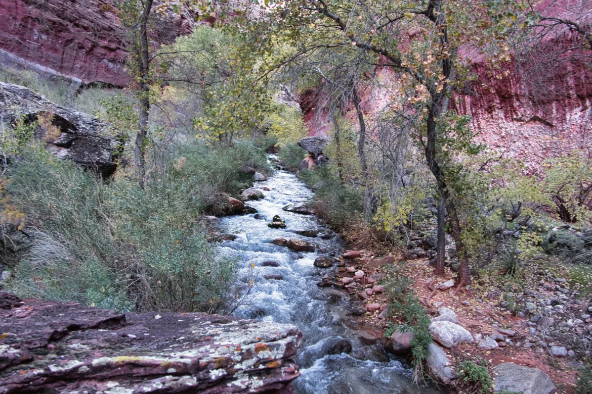
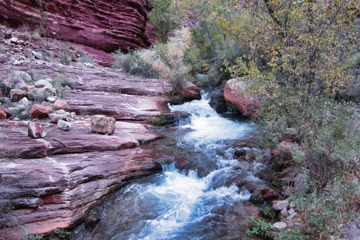
The canyon tightened up, and it was obvious that I was going to need to do some dancing in the stream. The way trail went sharply down to the stream, and I even had to put my pack on my haul line so I could do some vertical down climbing. I could see that the way trail went across the stream and picked up on the other side. I decided to feel it out and see what the water was like at a good crossing point. Turned out it was slightly less than knee-deep, at least where I crossed, and though the water was really fast, it was good enough for me to cross, though not something I would want to spend much time in.
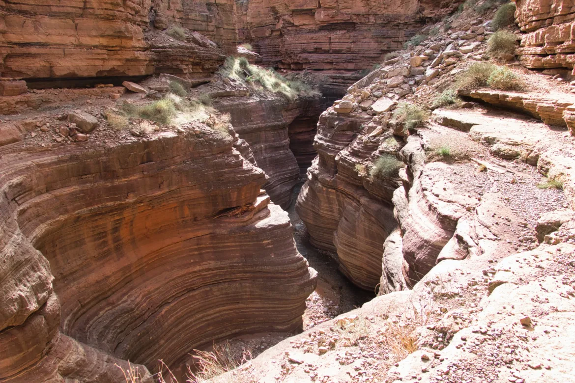
I continued down a series of way trails weaving back and forth across the stream as necessary, but it was still great that I could follow the way trails since otherwise, I would have spent a lot of time in the roaring stream due to brush on the banks. I’m not at all doing this trail to try to have a trail-free experience, and it’s nice to follow some trail at times. After my first couple of crossings, my confidence went up that I can do this as long as I was careful with my crossings and picked my spots well.
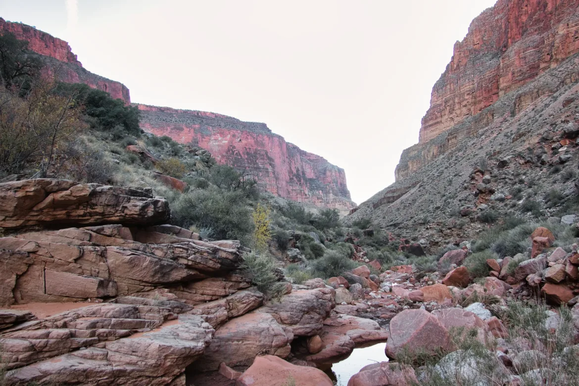
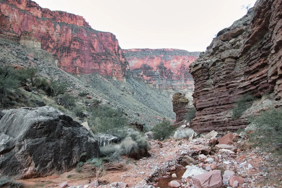
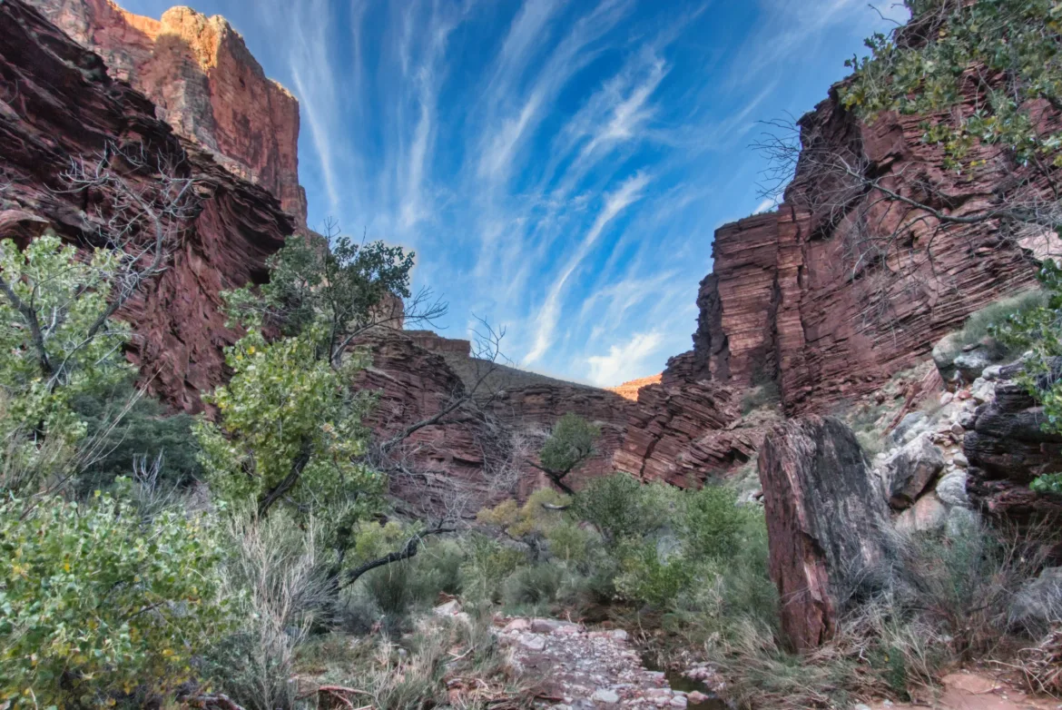
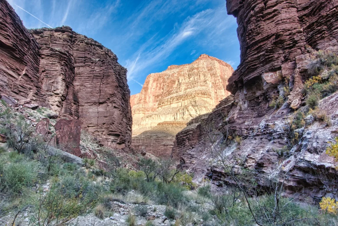
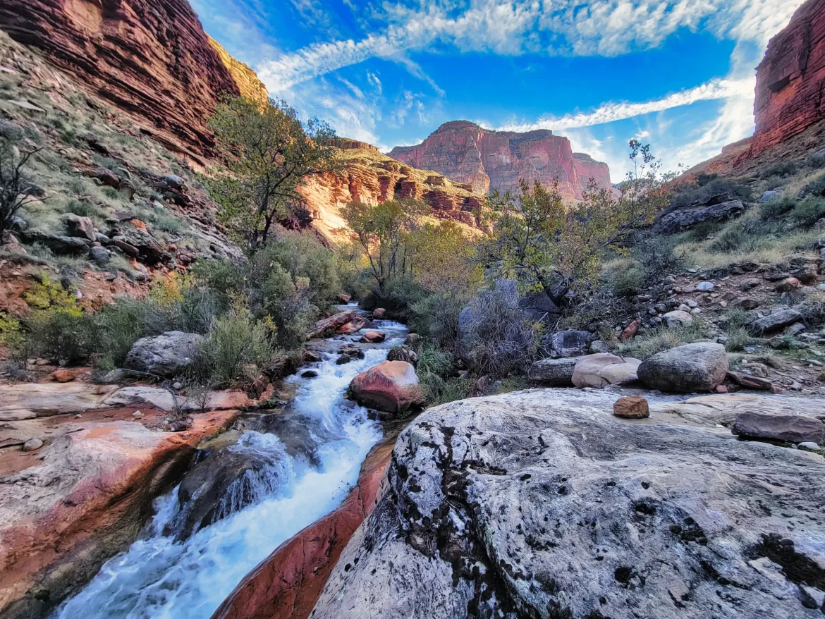
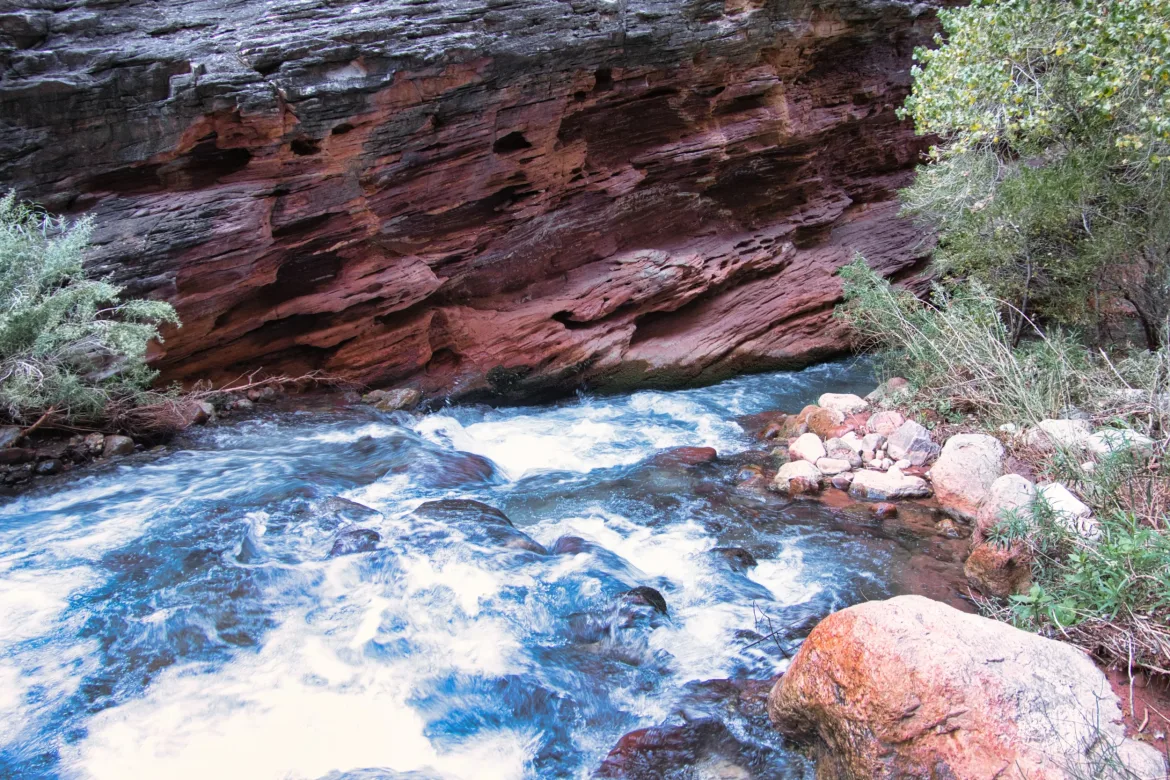
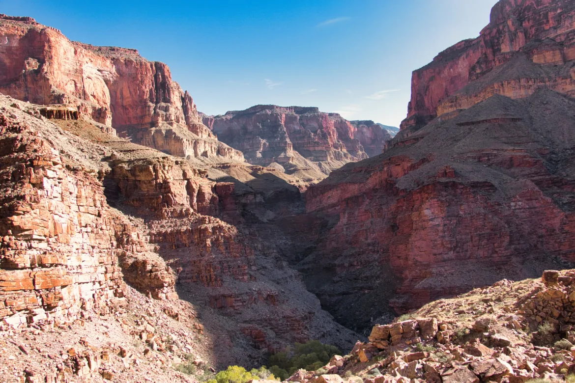
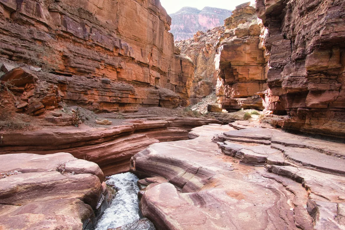
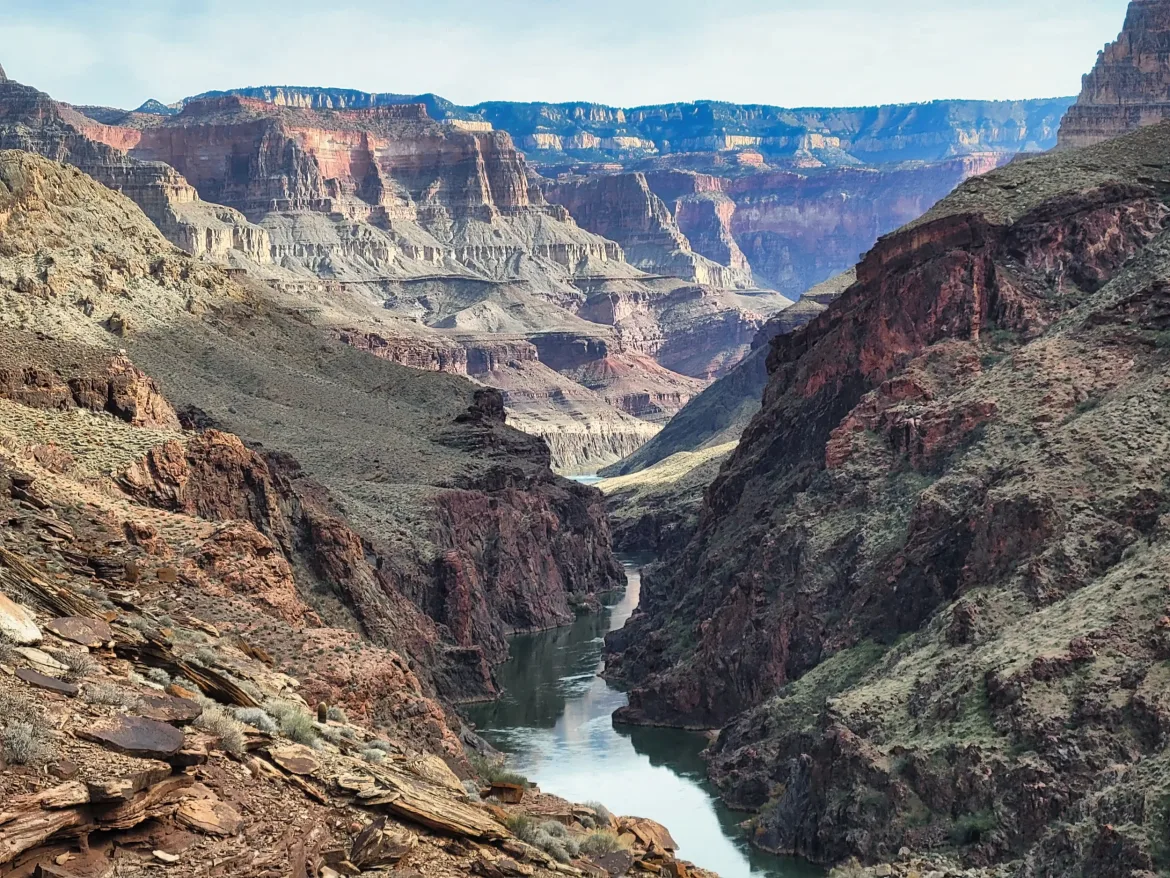
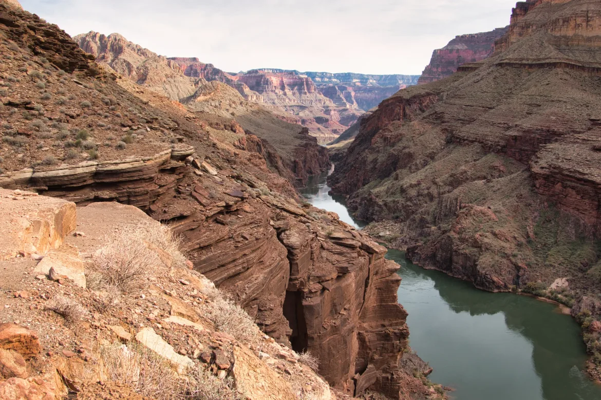
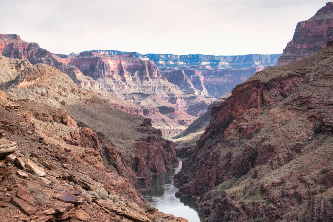
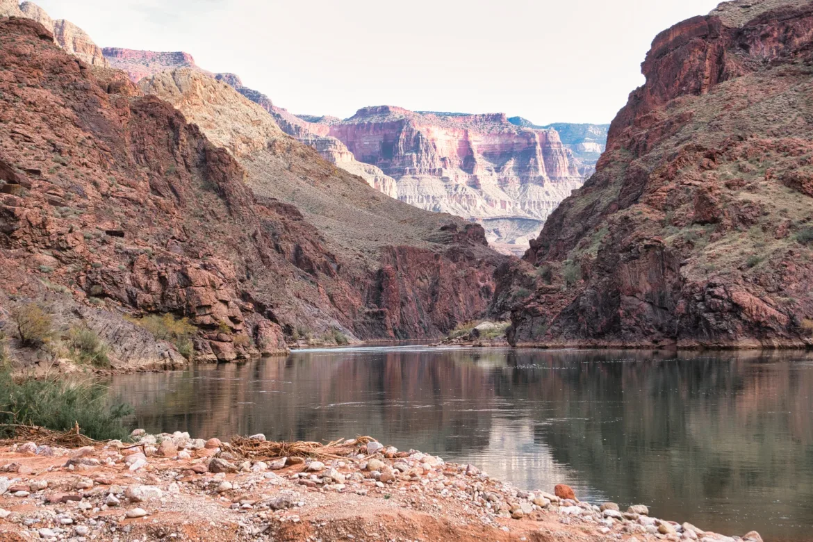
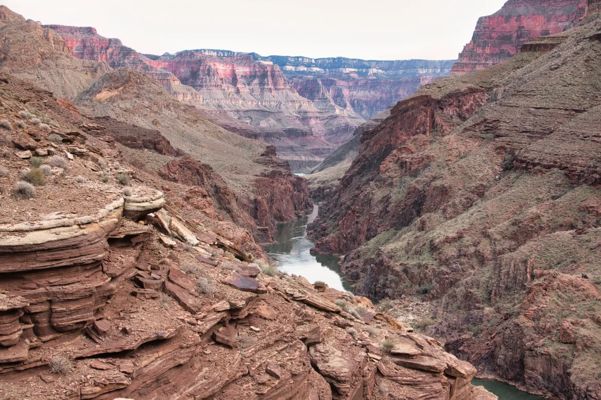
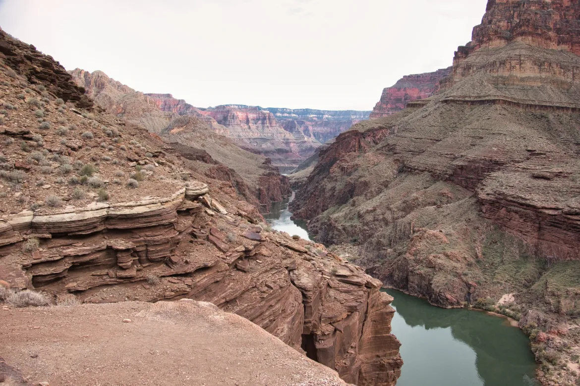
I worked my way downstream and it turned into a nice scenic hike with steep canyon walls going through different layers of the Grand Canyon. However, I knew my next obstacle was coming up. I would have to do one final crossing of Tapeats Creek but after it was joined by Thunder River. I’ve seen Thunder River before and wasn’t really looking forward to the crossing of the combined outflow of both rivers. I got to their confluence and found a spot that was wide but only about knee-deep, and I was able to get across. I definitely let out a sigh of relief after I was done with that crossing. That also put me back on official Grand Canyon Trail!
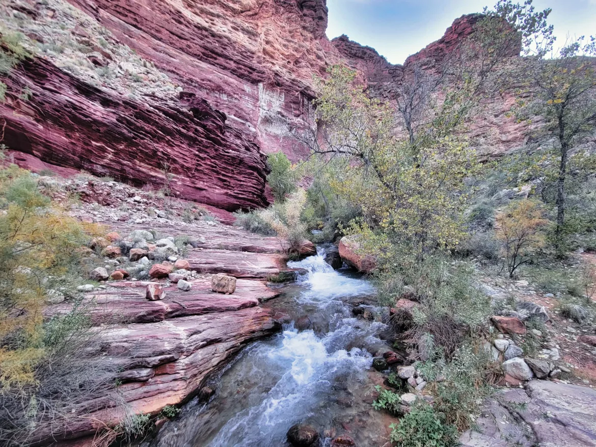
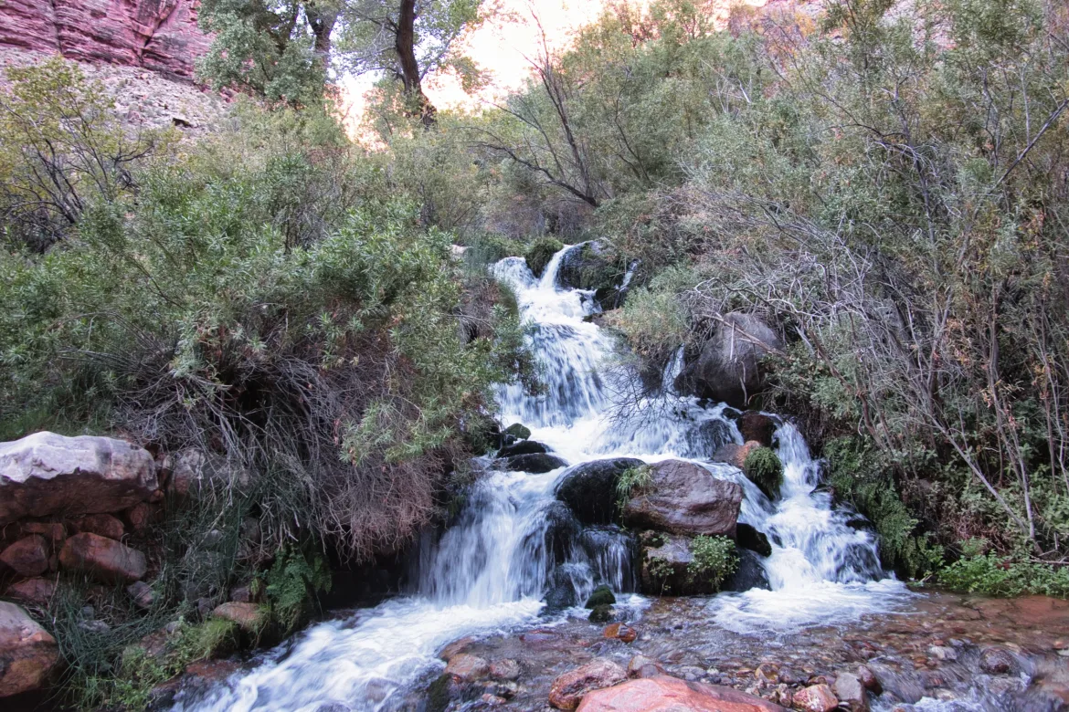
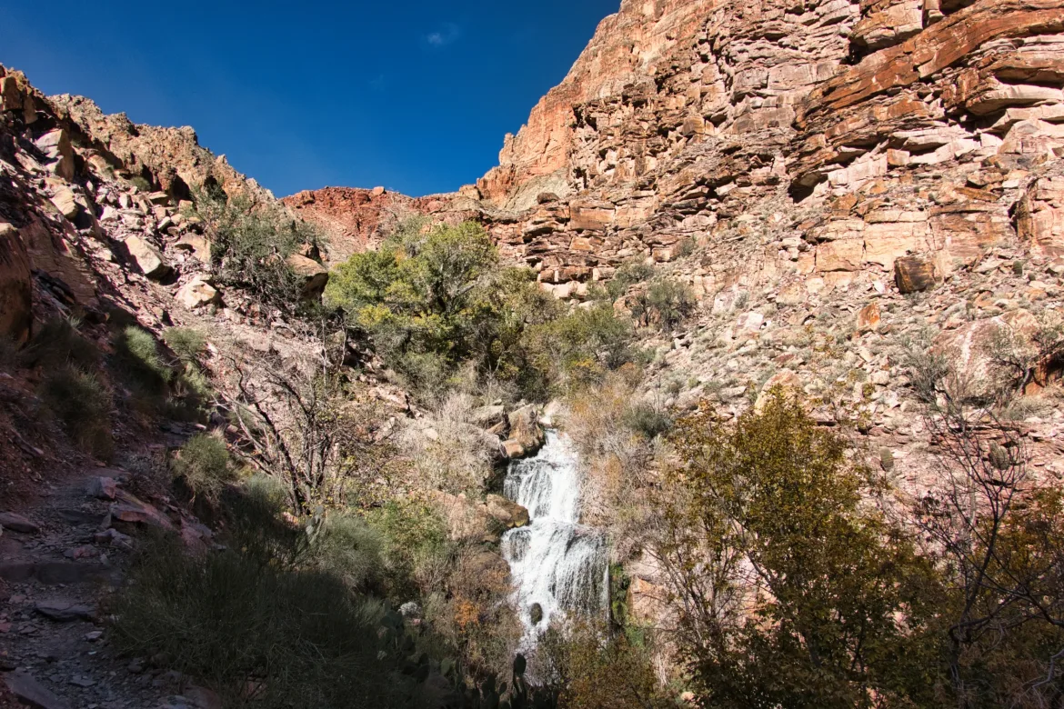
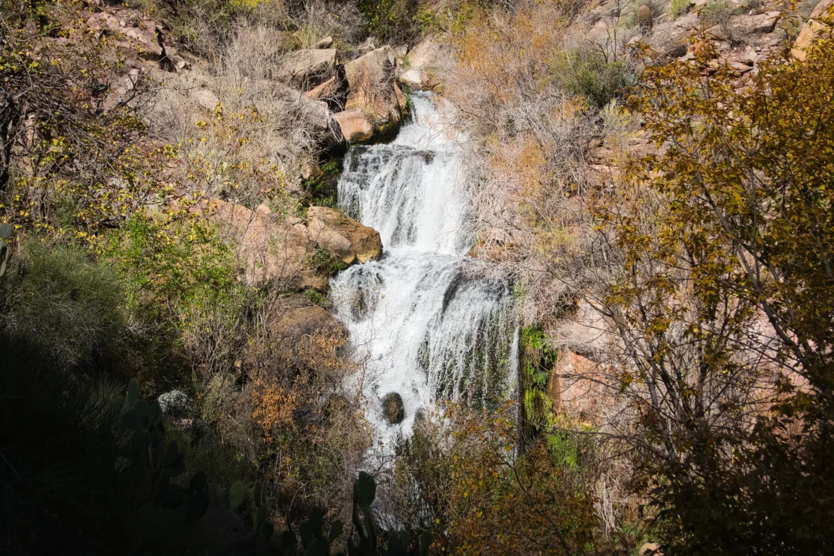
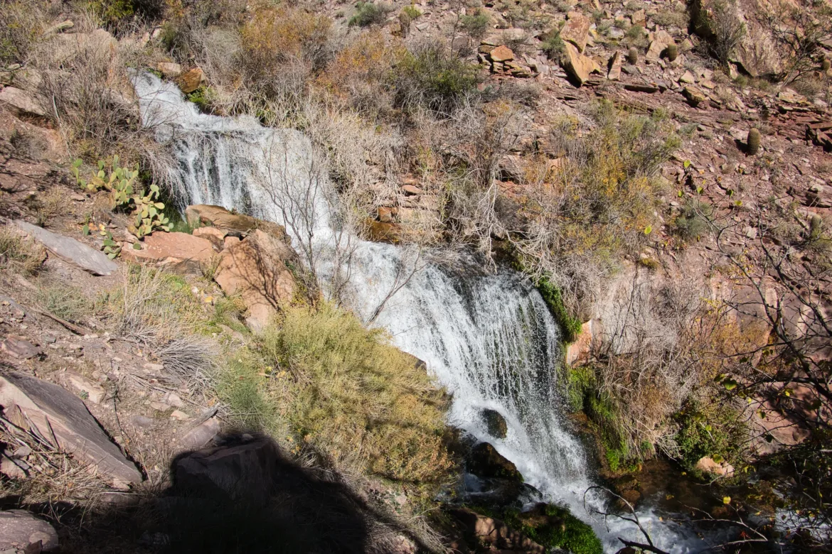
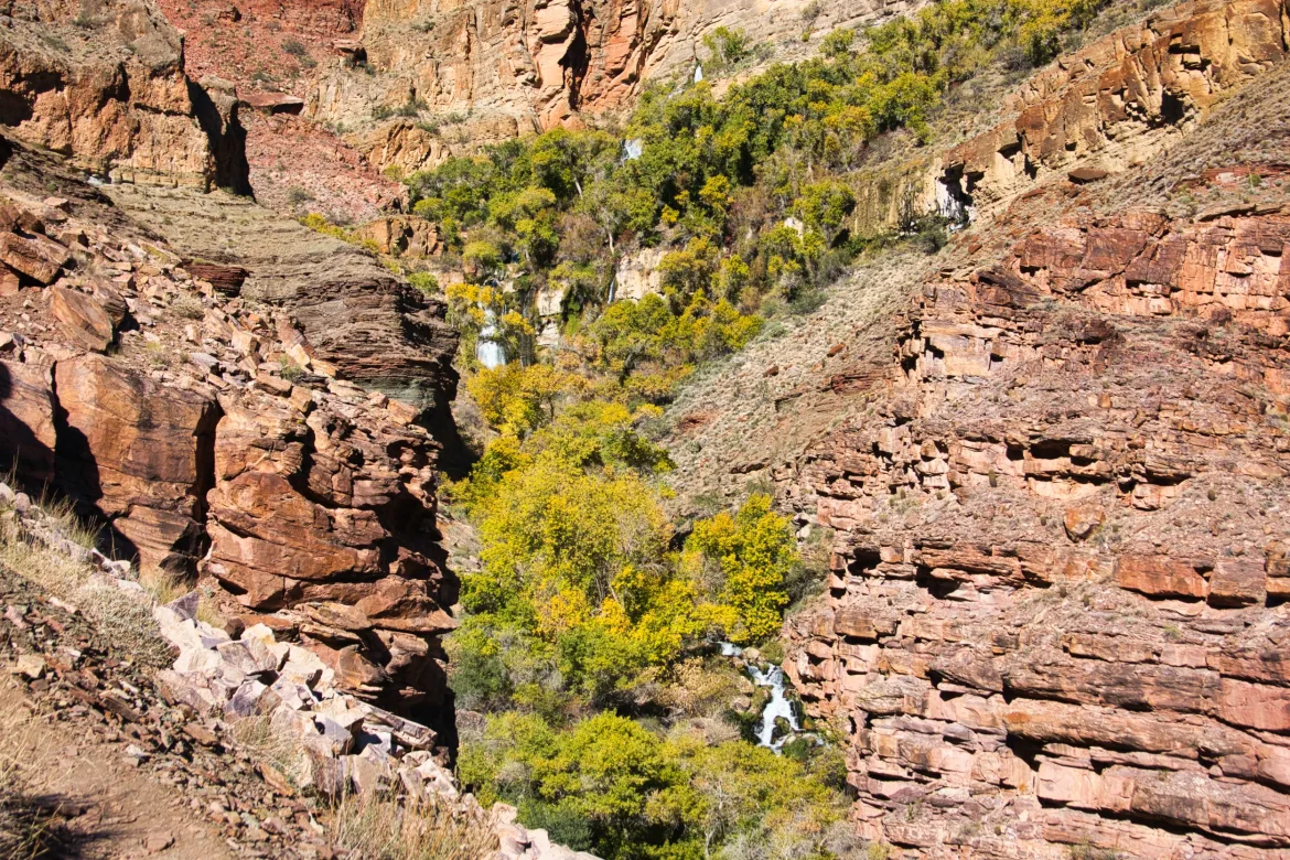
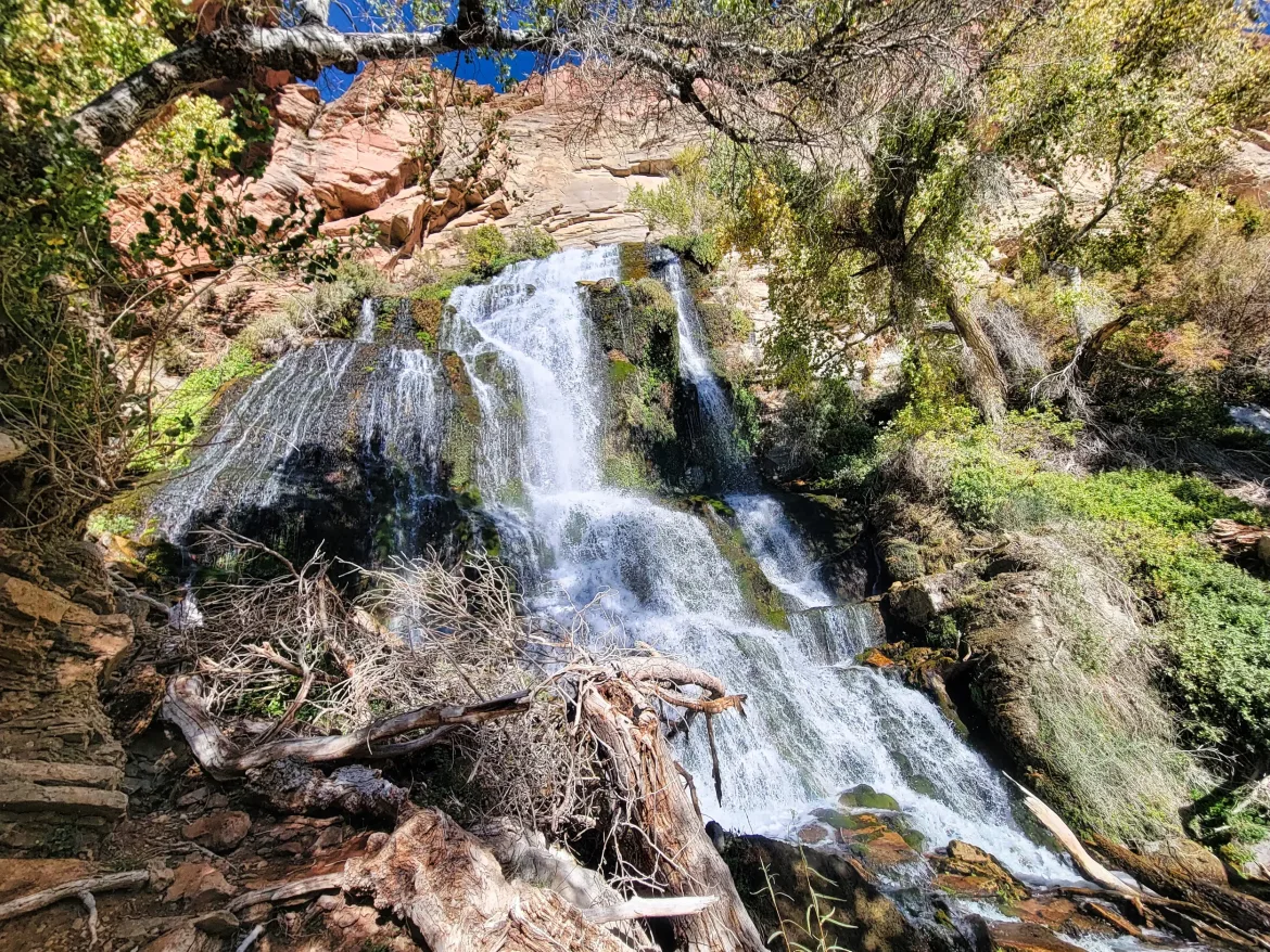
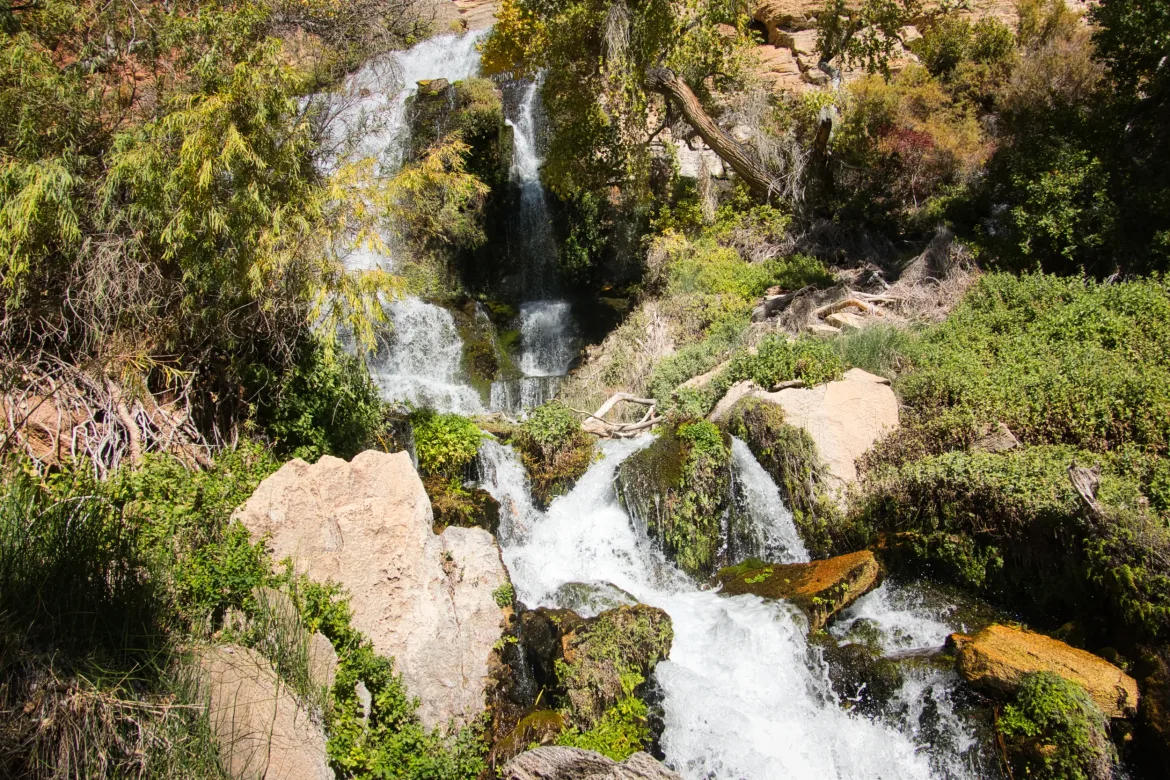
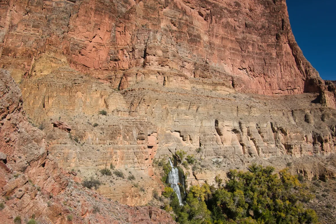
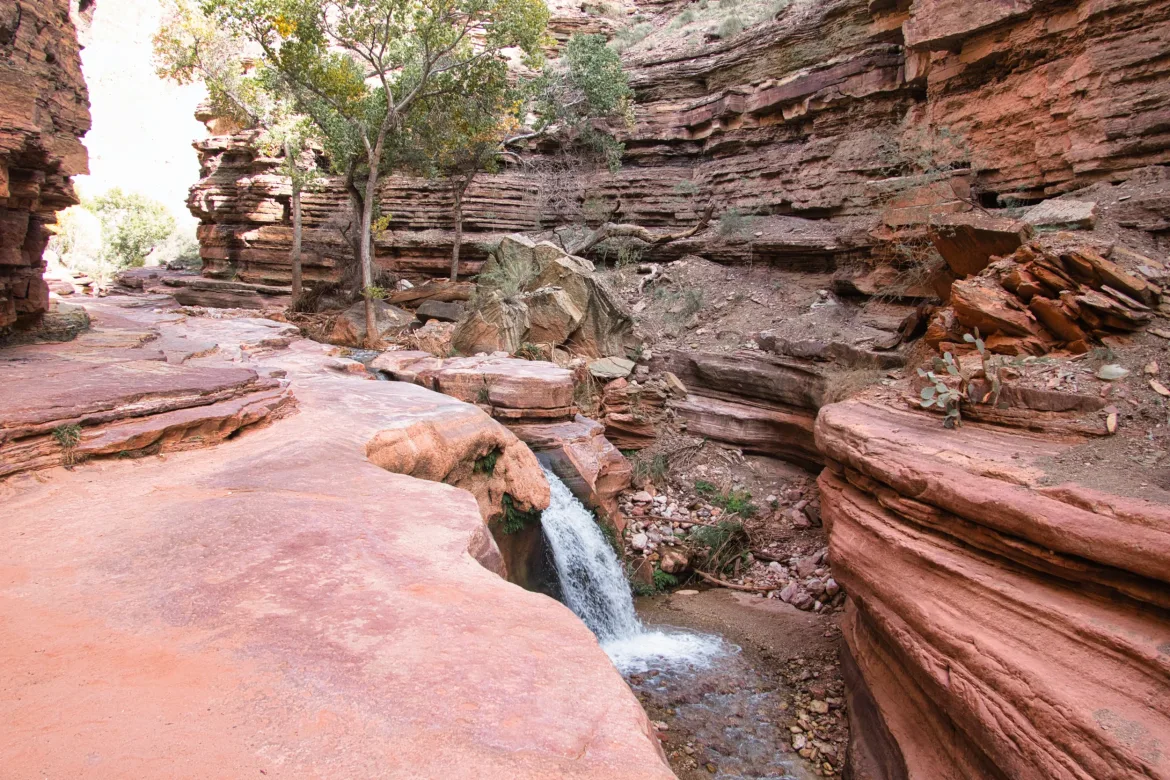
Since I joined Thunder River at the confluence with Tapeats Creek, I followed it upstream, and I would follow it its entire length to its source. However, Thunder River is the shortest river in the world, and that didn’t take all too long. Thunder River has got to be about the most vertical river in the world too, especially considering its short length. It’s just a series of cascades and waterfalls that the trail went up as close to as it could. It’s an amazing river with how vertical and how much white water there is in it.
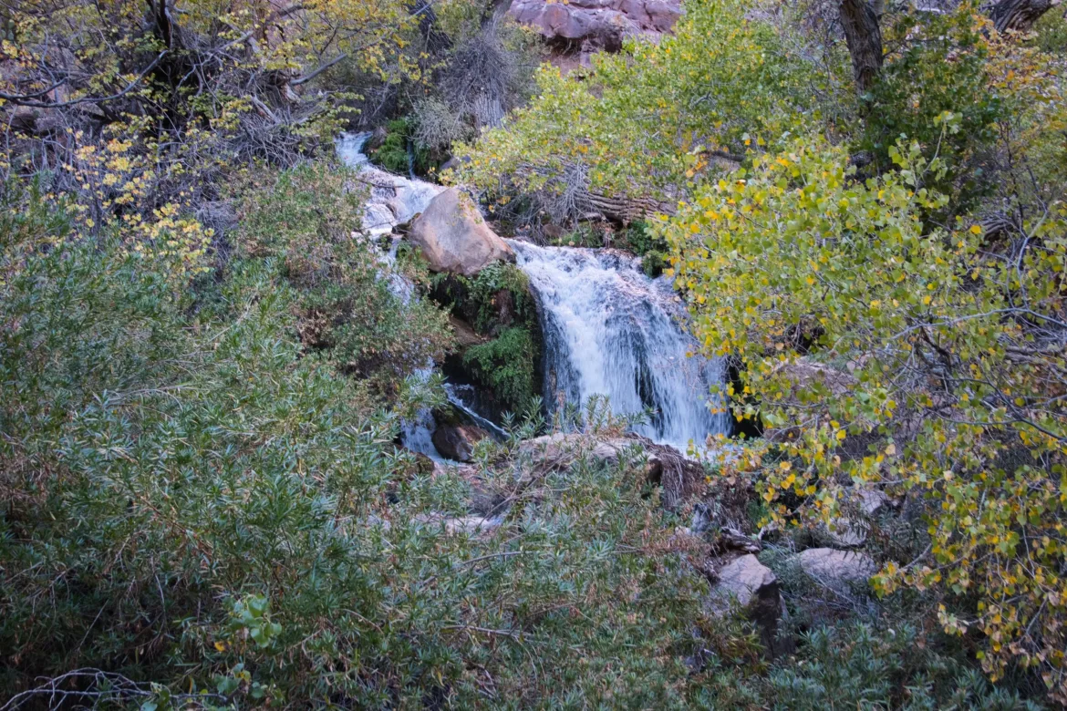
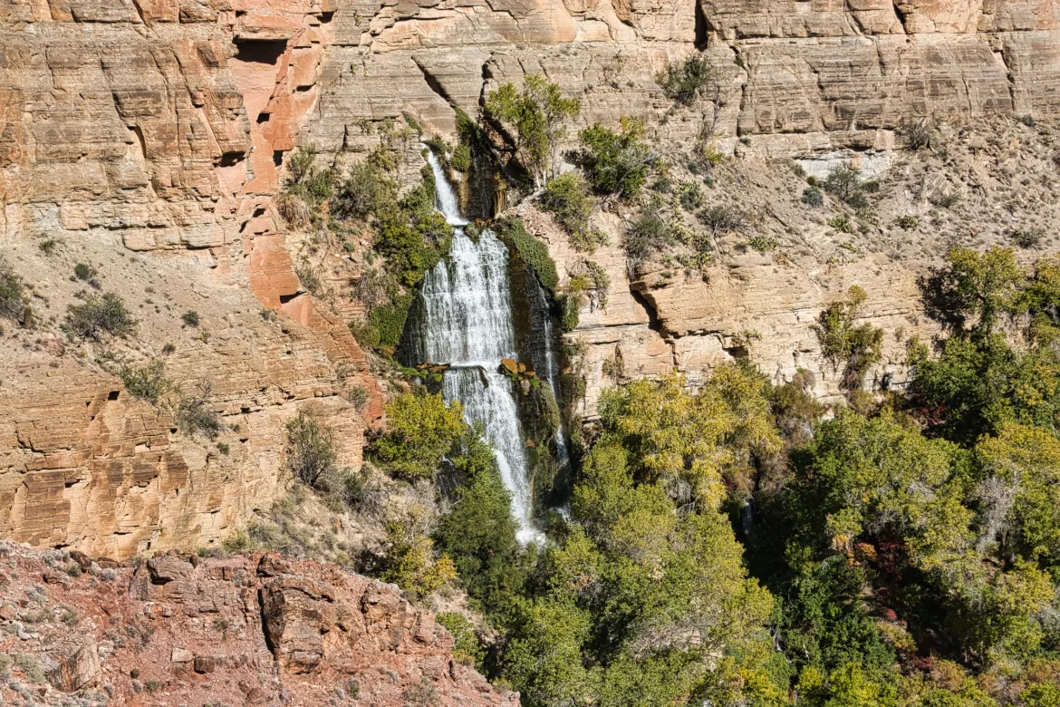
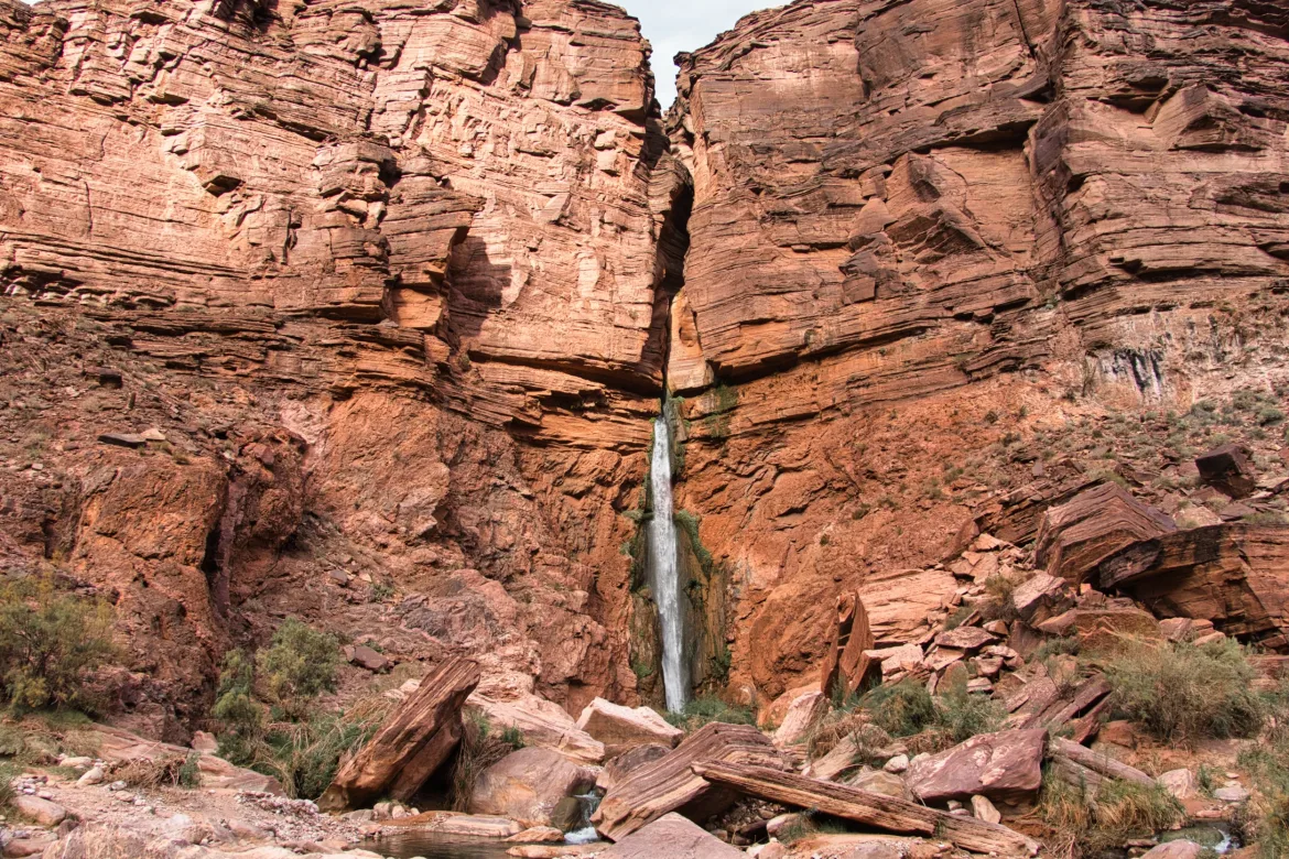
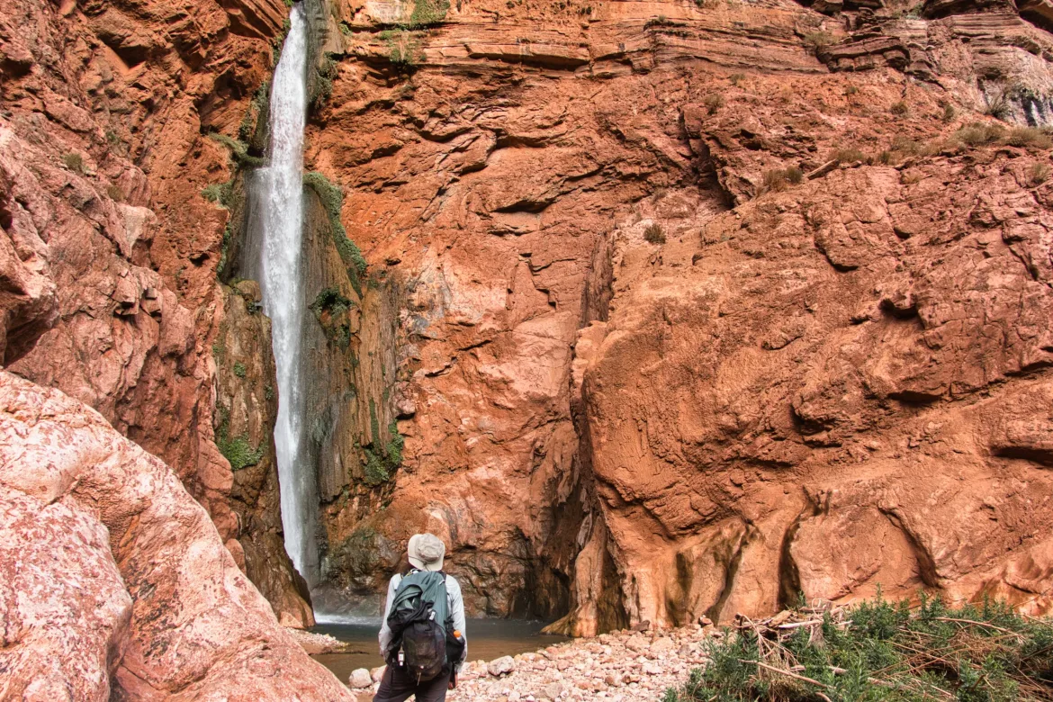
I got up to its source, which is literally a hole in the canyon wall. The entire river is basically a spring just cascading forth from a hole in the rock. I’ve been here before and didn’t get to the actual source because it felt too exposed to me, but I did take a second look this time around and I didn’t see a less exposed route, so I didn’t make it to the actual source this time either.
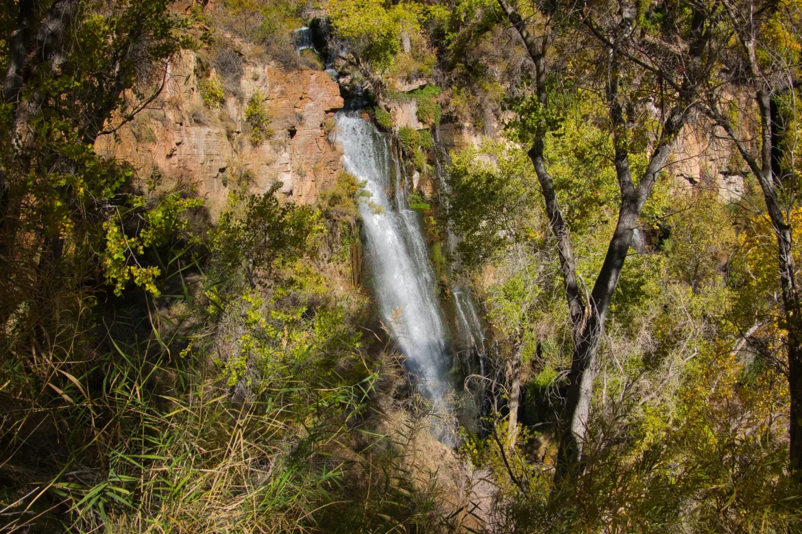
I did take a good break next to the biggest waterfall on Thunder River, which was fantastic to feel its power.
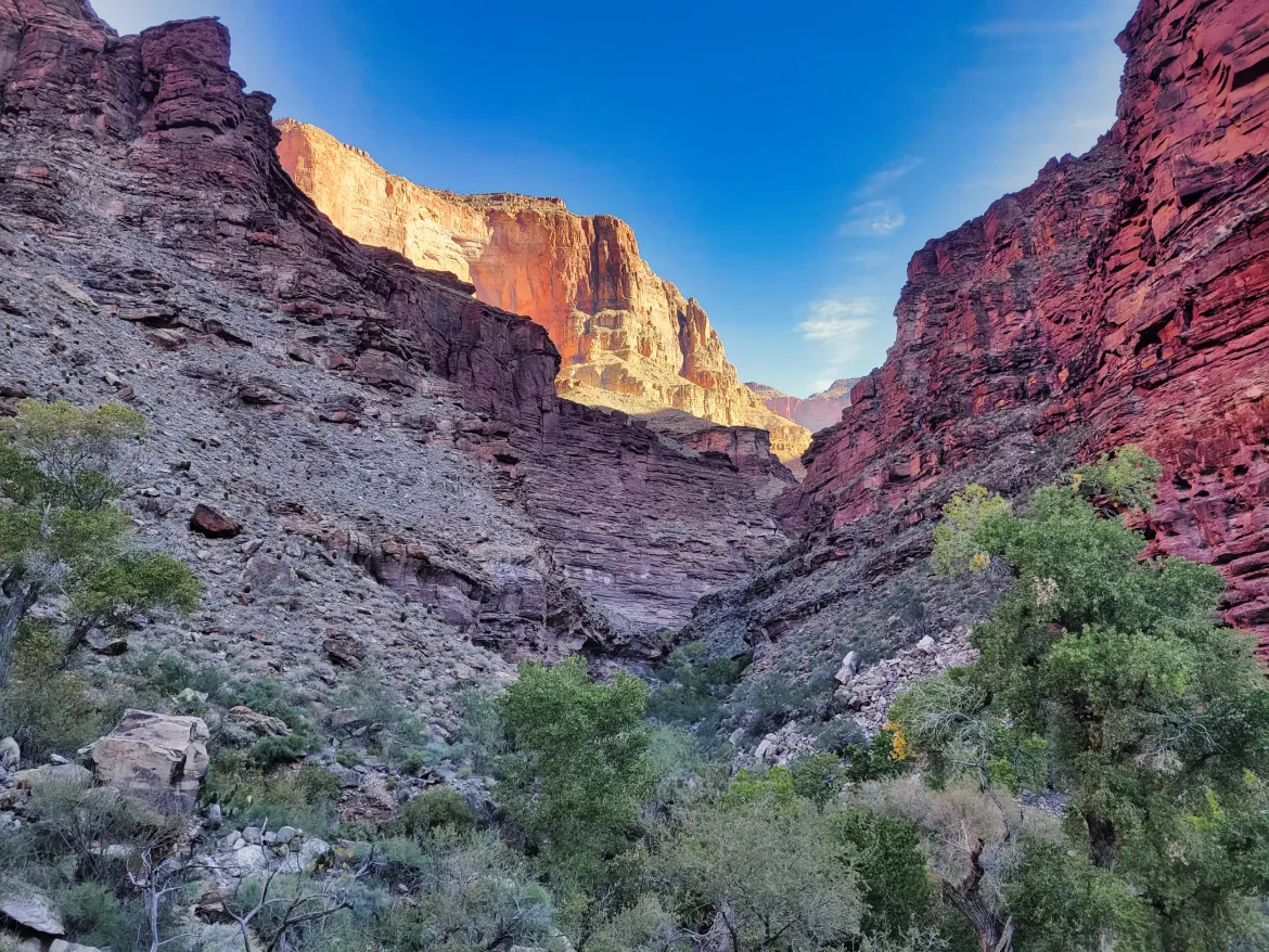
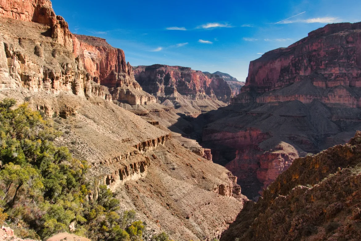
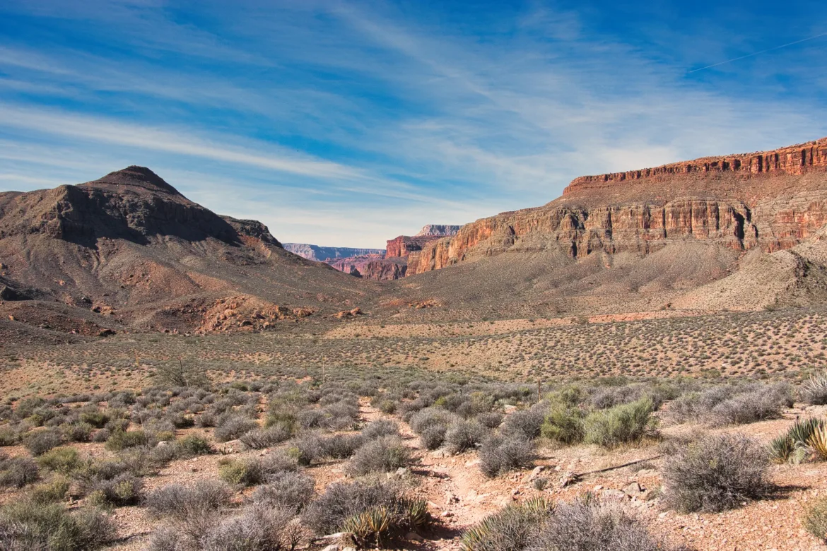
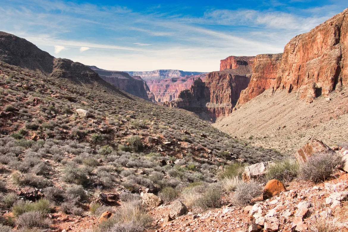
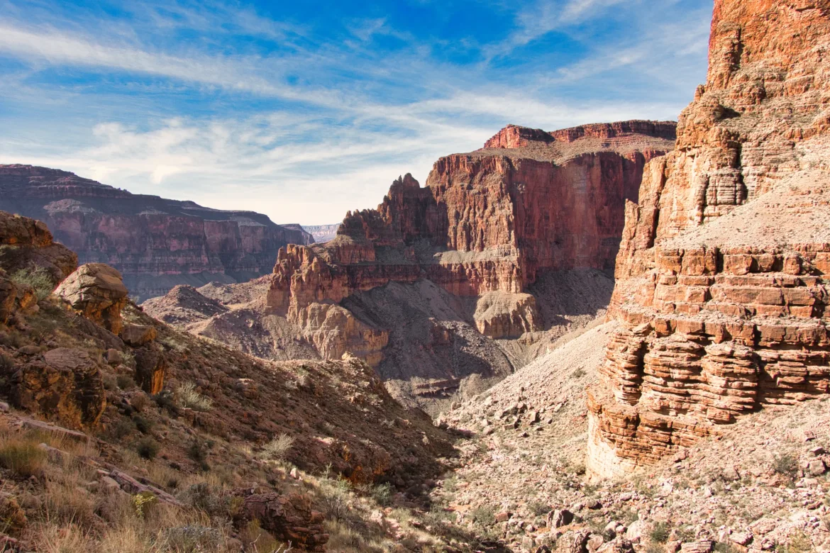
From there, I climbed up into Surprise Valley where the trail cut across the Esplanade for a few miles. A nice high view point for the canyon around me. But I was due to descend back towards the Colorado for the day, so I started down towards Deer Creek. It was steep at times but no big deal, still nice to be on official trail. I got to the creek, went down a stream, and set up camp right before the Deer Creek Narrows since this is where my permit is for. Another short hiking day, but I wasn’t sure how the start today was going to go this morning.
When it was getting later, I headed back up and was getting situated in camp when someone came walking down the trail on the other side of the river, calling out if anyone was around. He looked sort of like a ranger, and I debated not saying anything since that could only be trouble, but I decided he probably wasn’t a ranger calling out like that, and I thought worst case maybe he needed some help. I spoke up, and he said that he was camped upstream with a group and they had food and beverages to share. Didn’t take much more of an invitation for me to gather up my stuff and head up there.
I met Tom, Mike, Christy, and Jeanette, and true to his word, Tom set out an elaborate spread with meats, cheeses, nuts, jam, and assorted olives. Fantastic, and he also passed around some brown wine! Quite a lively group, but it was nice to have some company. I saw one hiker in the distance today, and other than that, these were the first people I’d seen in 3 days. Quite a stretch for being in a busy national park. We hung out and chatted and had dinner before we each wandered off to our tents. A good day; I’m glad that my two-day downclimb of Saddle Canyon went well, and it turned out to be fun for the most part, though there were a couple of hairy moments.