
Start: Salt Creek Backcountry Campsite 4
Finish: Sweet Alice “Road”
Daily Mileage: 25.2
Trip Mileage: 150.1
Elevation gain/loss: 4234/1029ft
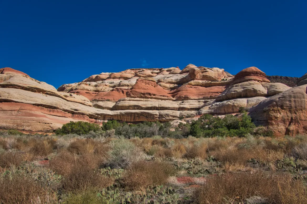
I slept fitfully last night but got up at the usual time to get into the Anasazi ruins. The trail starts off as it had been so far, overgrown and brushy, but around where the ruins started it really opened up.
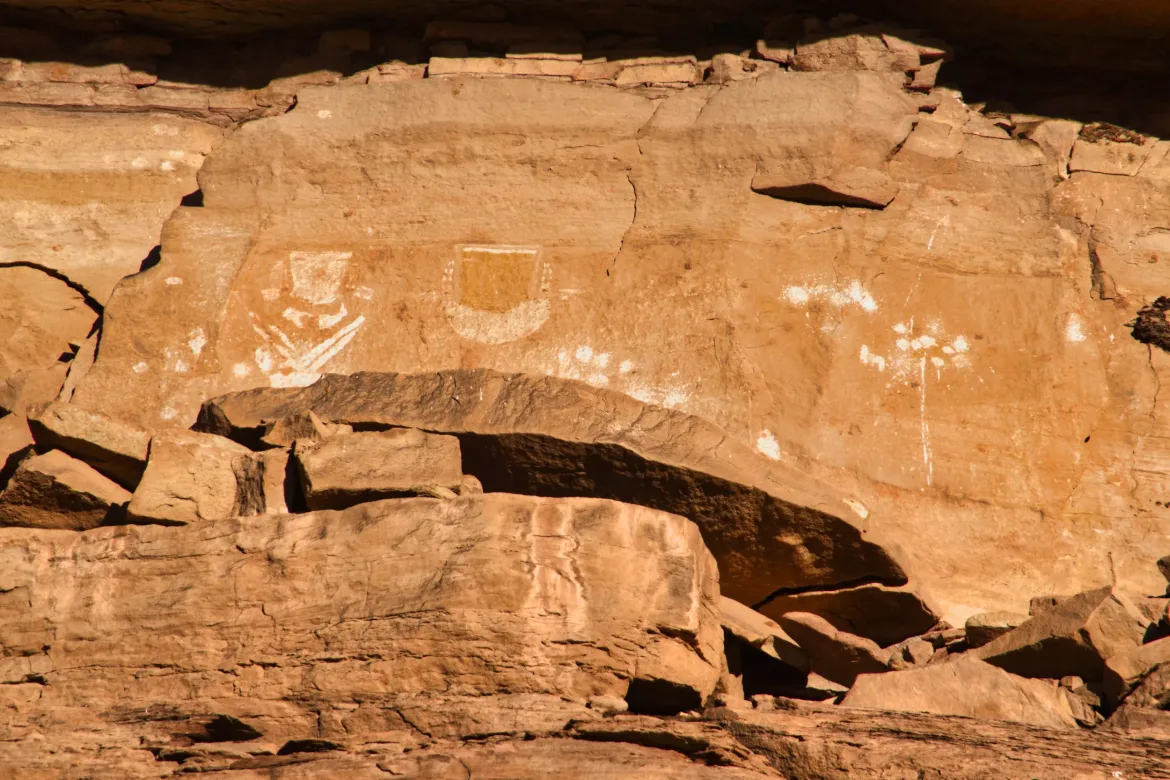
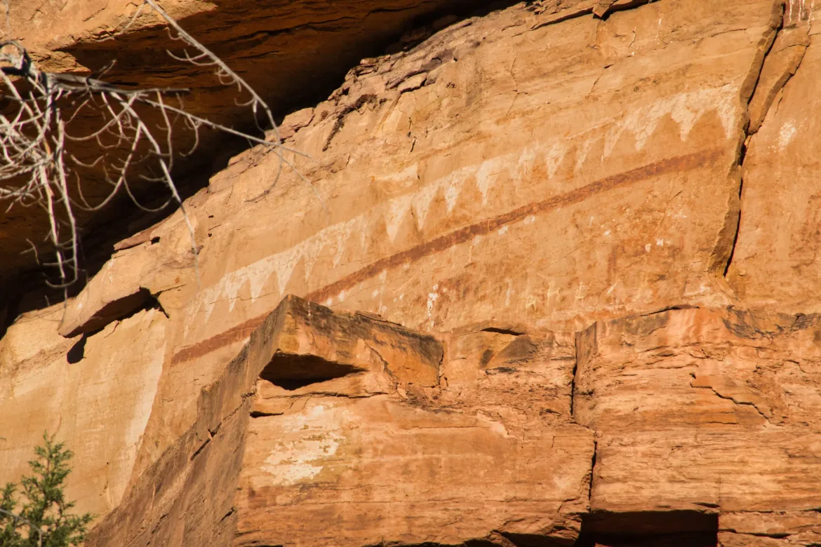
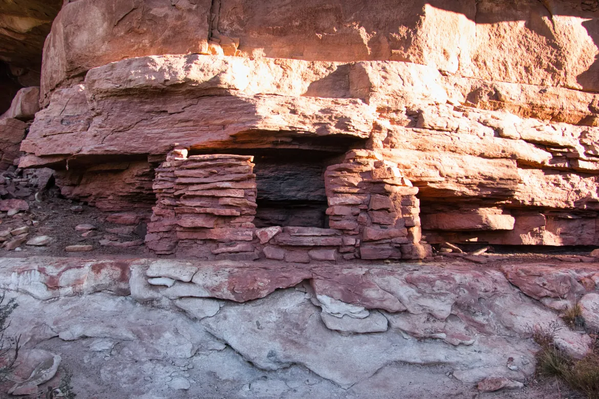
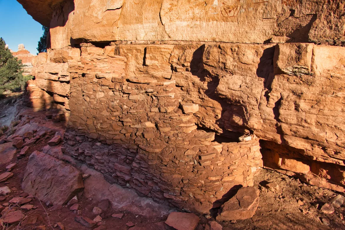
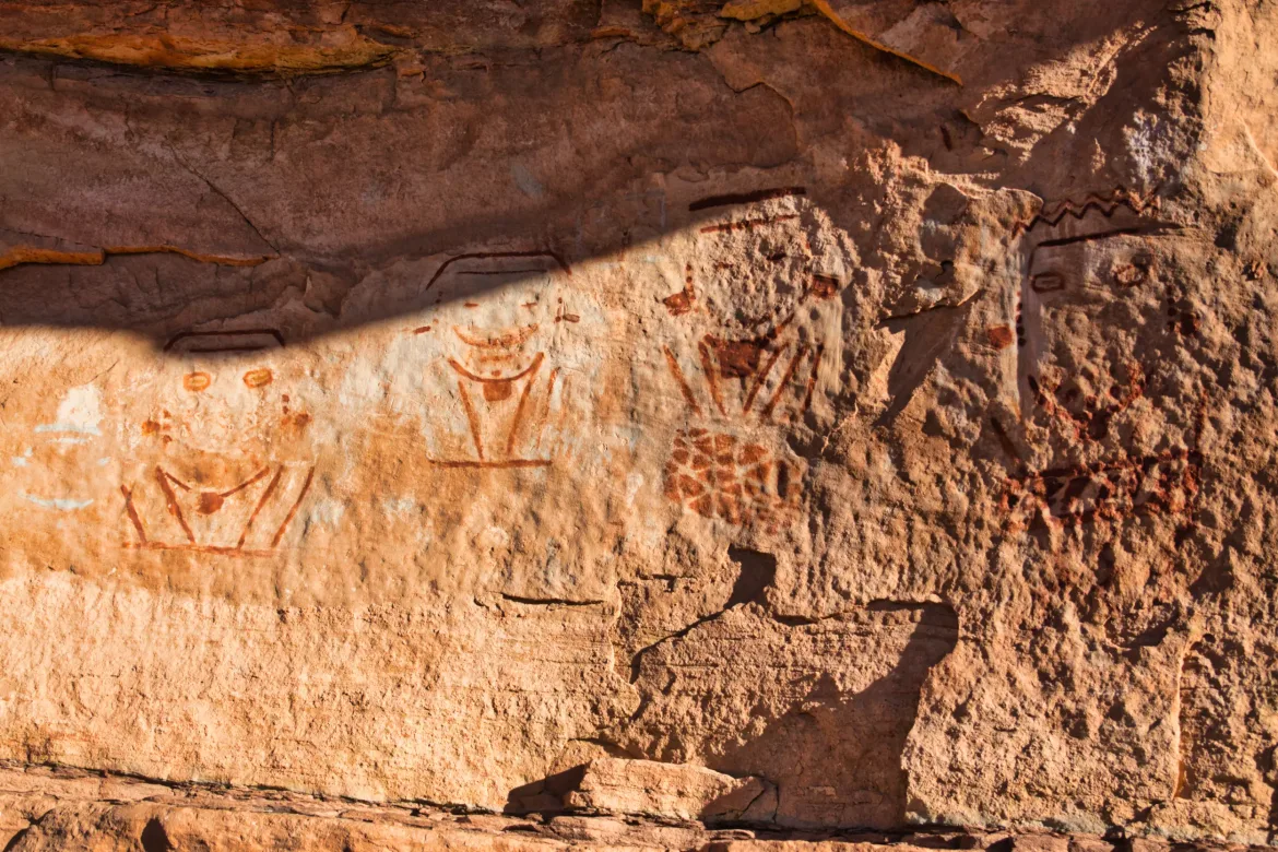
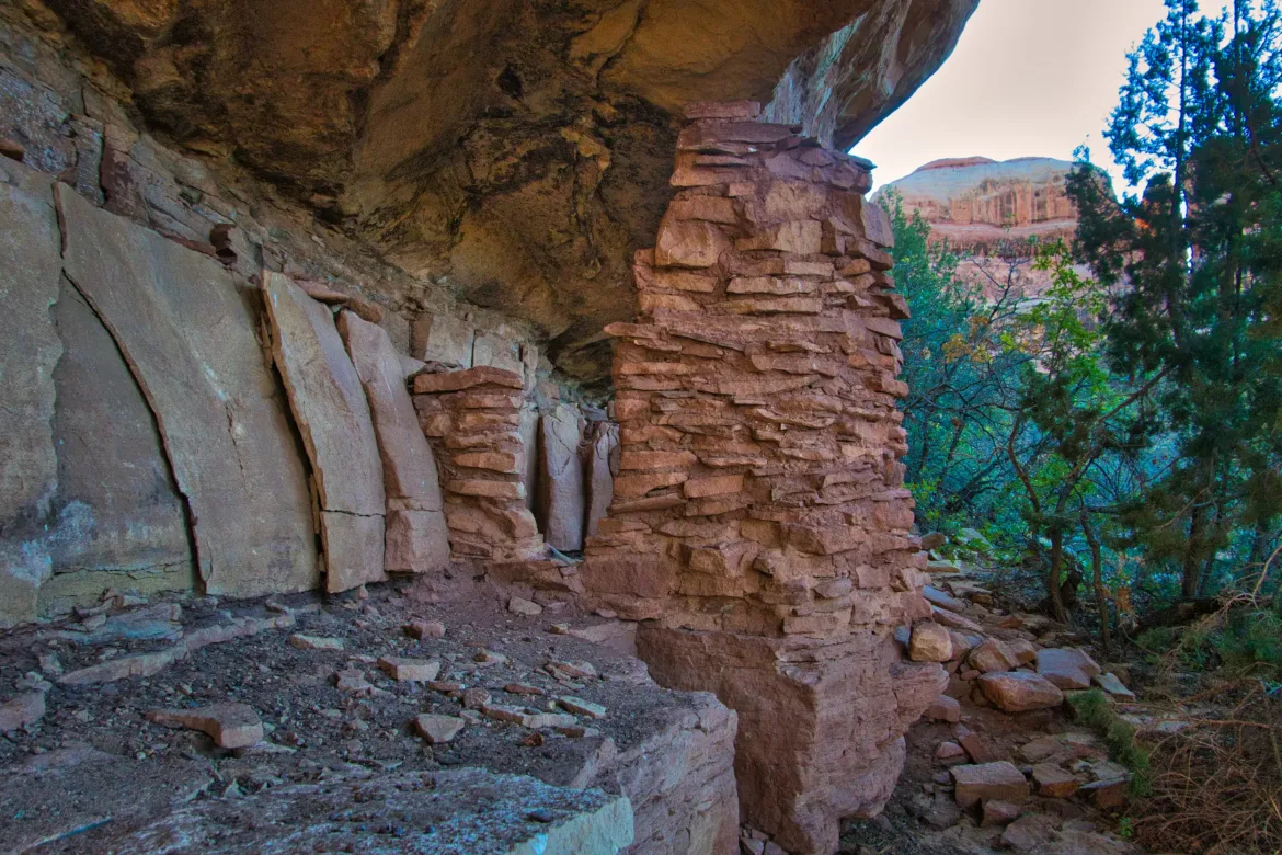
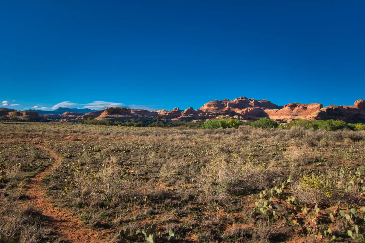
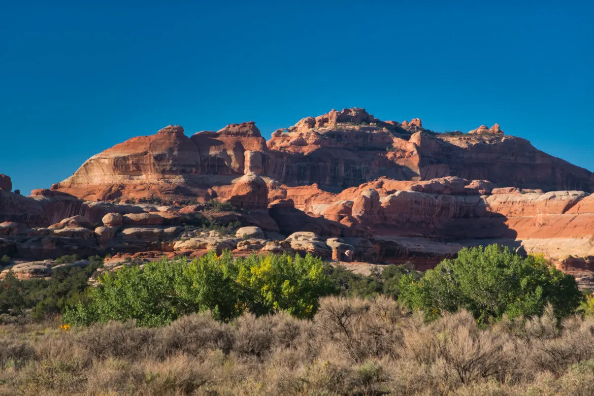
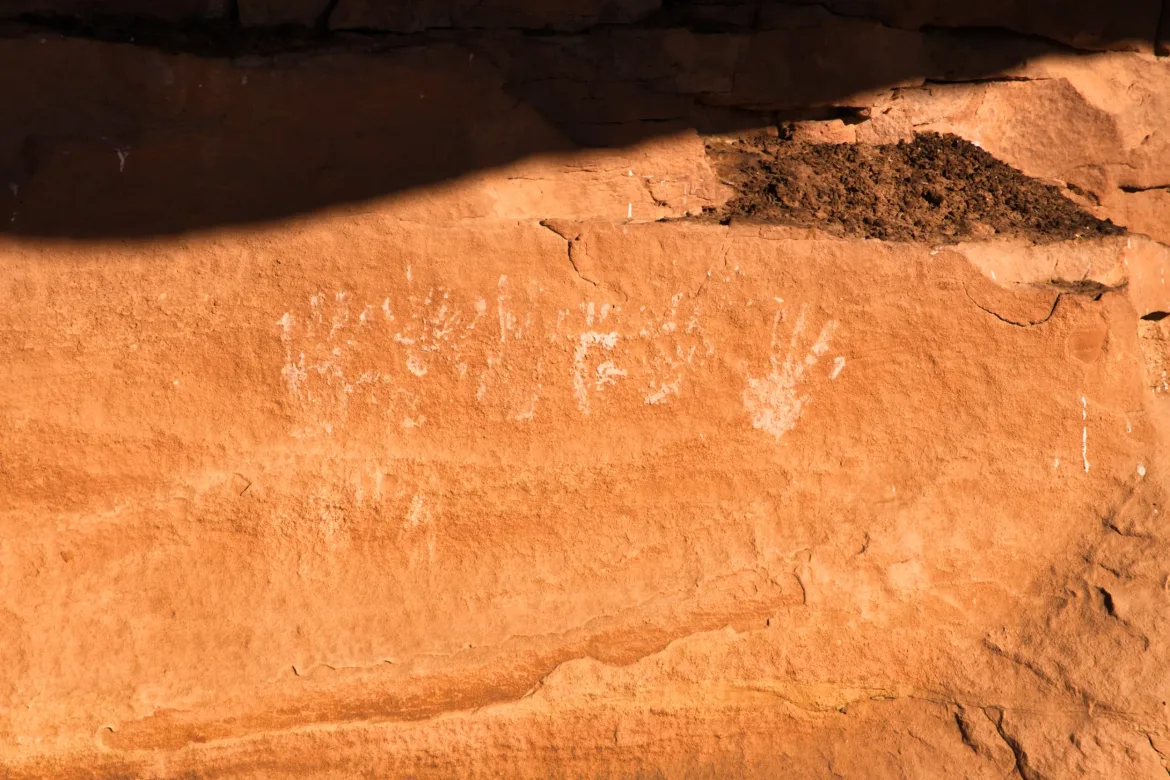
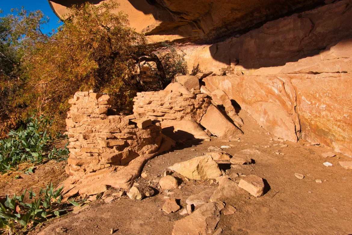
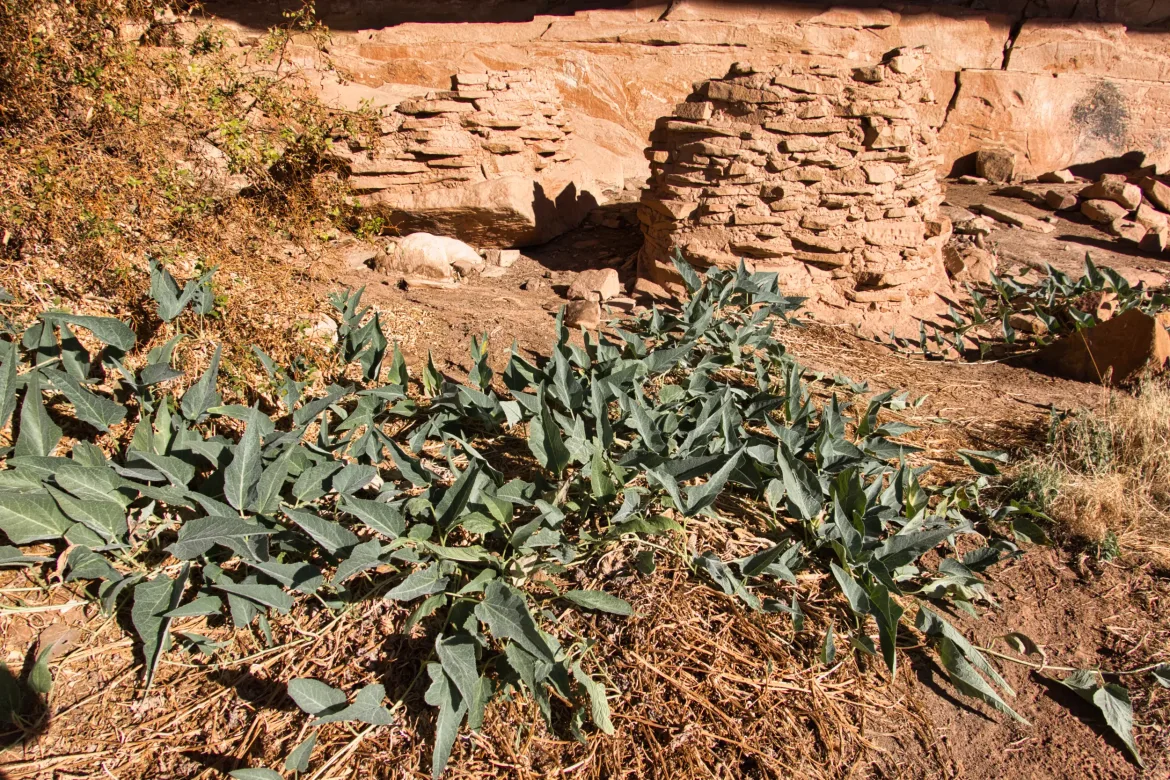
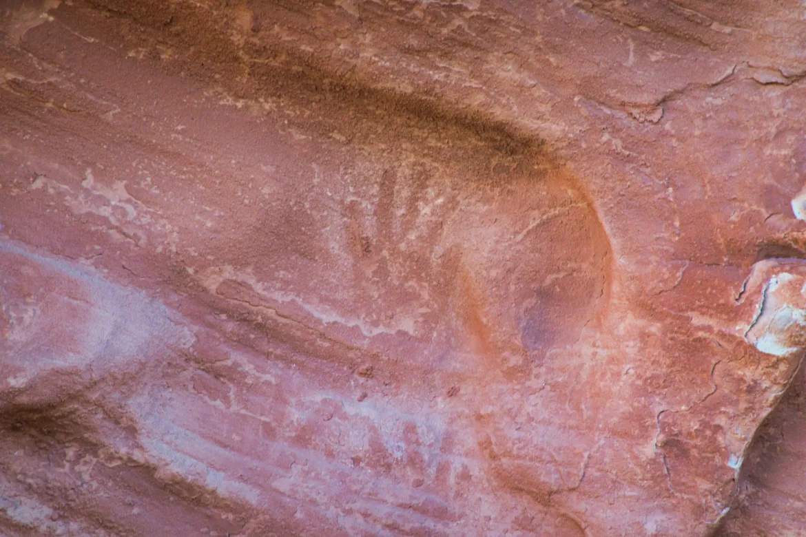
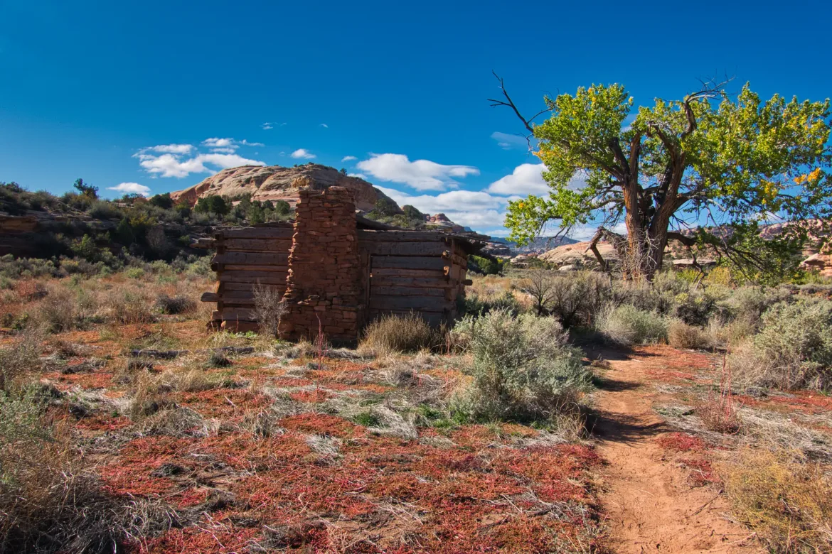
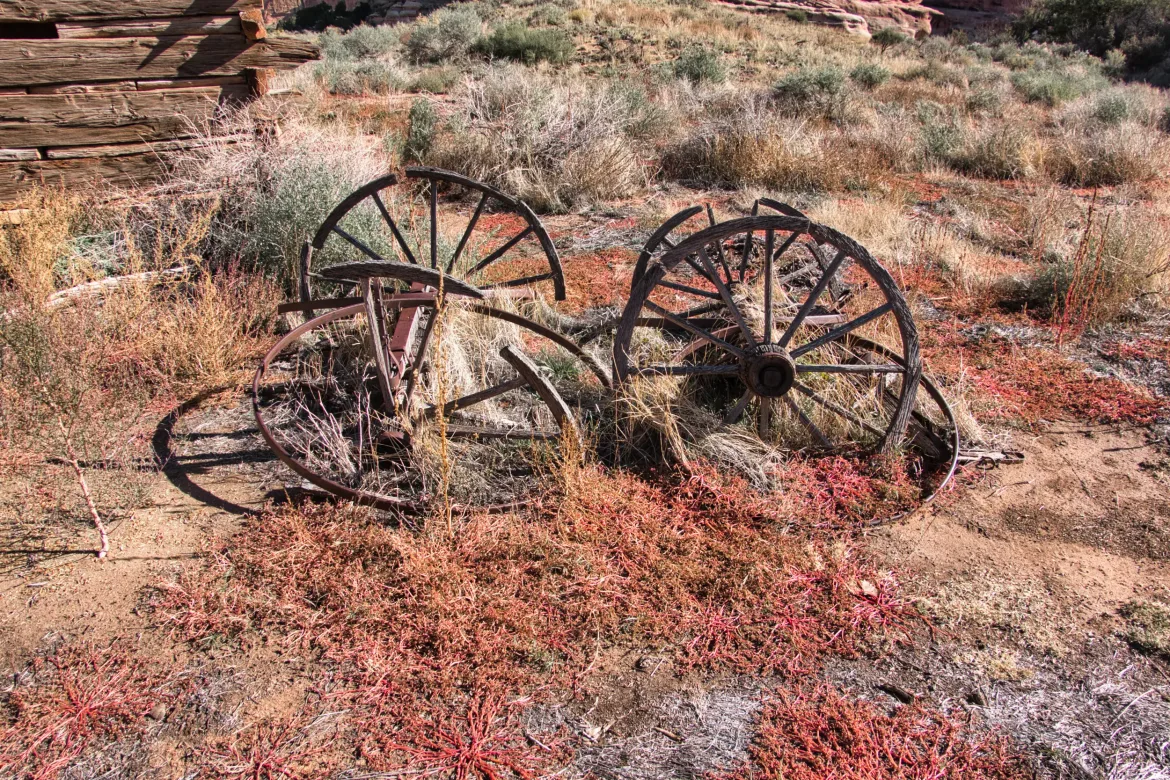
The trail went on to wide planes that were slightly above salt Creek and pretty much went from ruin to ruin. There were lots of granaries and pictographs. The trail didn’t indicate where points of interest were, but it was quite obvious when a large side trail went off somewhere that there was probably something to see. The ruins were about half intact. They were sheltered from the weather by rock overhangs so water had probably never touched them. The ruins were a bunch of stacked flat rocks and it looked like they were mortared together with mud or a loose clay. One of the ruins had what looked like squash plants by it but there was no fruit on the plants. I hadn’t seen vines yet like this, and I imagined that they were left over from ancient farmers and had grown back season after season in homage to the ruins.
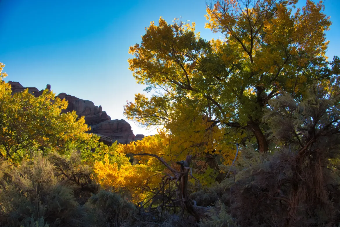
I went from ruin to ruin, taking each in. It’s cool to see history as part of a hike and not just the nature and scenery. This valley is very green compared to the terrain I have already passed through. So it’s unsurprising the Anasazi found and farmed it. They didn’t live here year-round though, they stayed in nearby and dry Beef Basin, though it is unknown why they didn’t live in one place year-round. I had an option to go to Beef Basin to see the ruins there as well, but I decided on an alternate route.
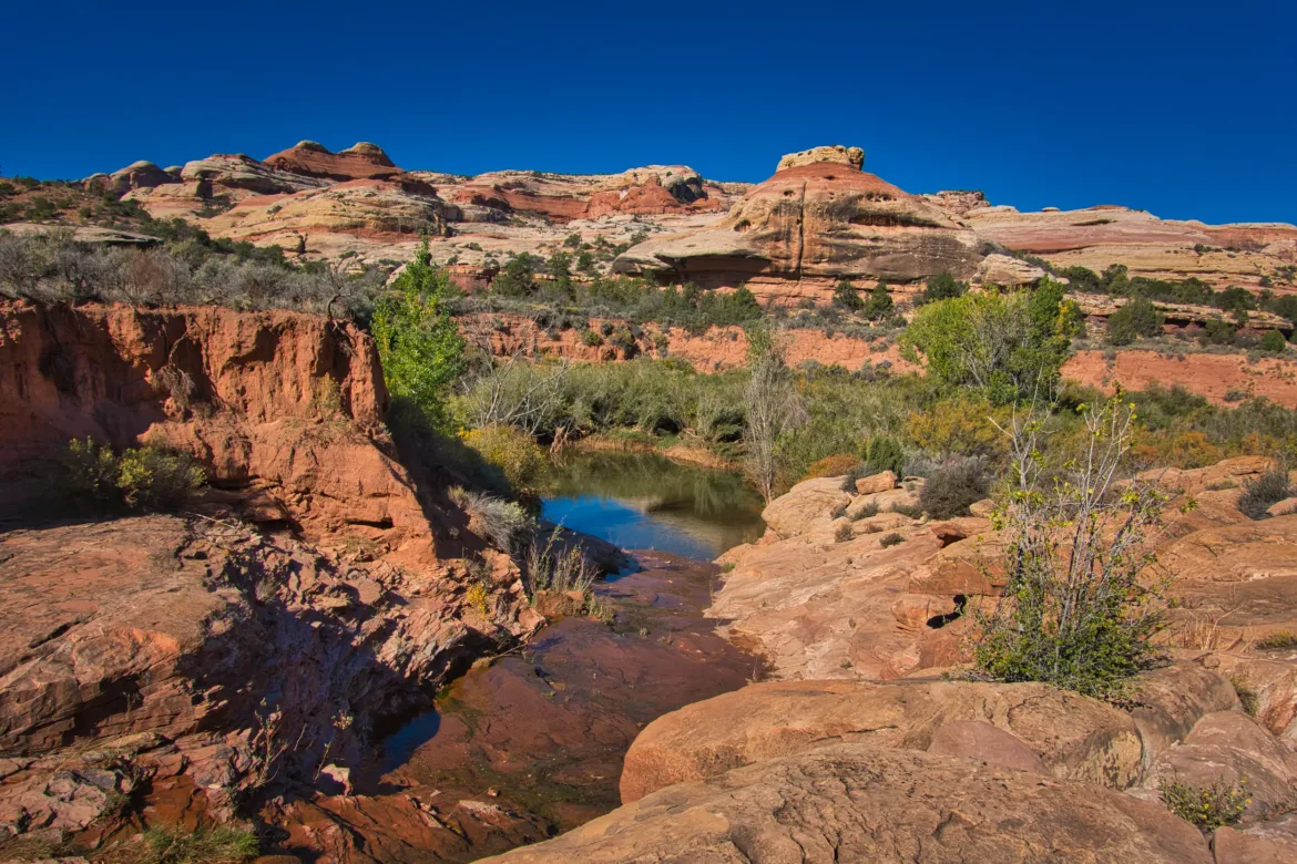
Near the end of the valley there was a really big spring gushing water. This was the first flowing good clear water I’ve seen on this trip (besides the Colorado River), so I obviously had to get some of it. I loaded up with 7 liters because I didn’t think I would see any for the rest of the day and early tomorrow. It was definitely noticeable when I put my pack back on with that much water weight. I also have the extra weight of the bear can. I collected the water at about 6,000 ft and ended up camping at 8,500 ft so I had to carry it up quite a ways.
In Salt Creek I did see both mountain lion and bear prints. I have seen a lot of medium-sized cat prints but I’m not sure what those are.
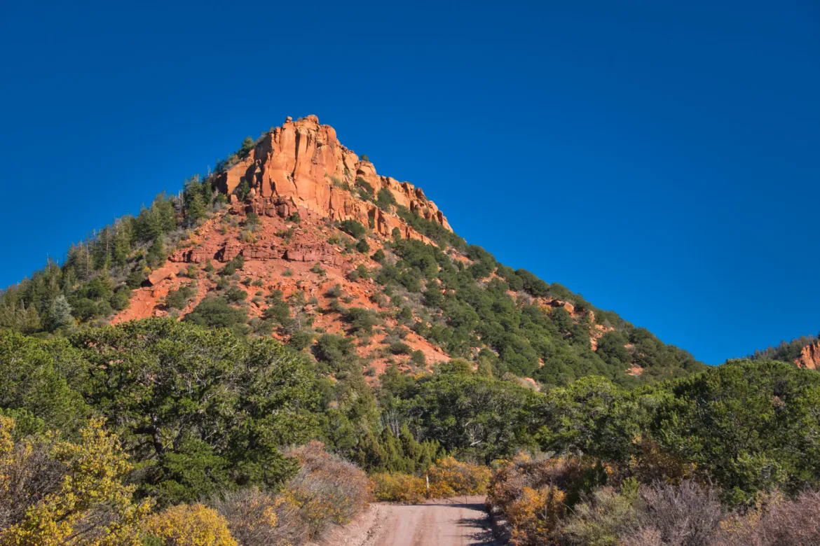
Leaving the Salt Creek area, the official trail goes up to Cathedral Butte where there is trailhead. I followed an alternate route I found on the internet to go the opposite direction and get me back towards where I was heading with less roadwalking. I had several different map sources available and one source showed this as actual trail, another source showed it as a 4×4 track and other sources didn’t show anything there at all. I wasn’t really sure what to expect for this route.
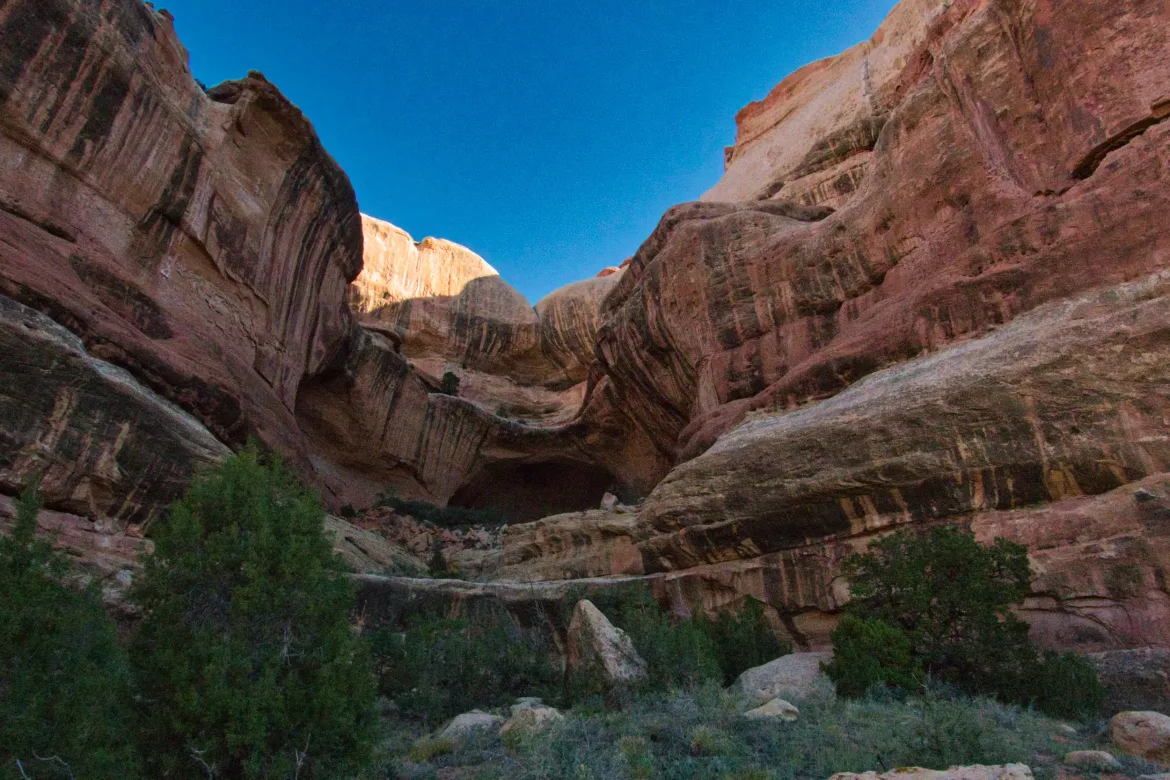
I started up a wash and briefly went away from the wash where I verified there was no supposed track or trail that some of the maps suggested. So, I followed the wash up as far as I could. I saw a couple cairns and a couple very old footprints along the way, but other than that, there wasn’t much sign of human passing this way. So, I was left to my own devices to get up the wash. I stuck to the wash, just judging which way looked easiest when it split a couple times. I ended up going up the final ascent through a steeper area with very big boulders. A couple of these were tough to get around and I had to take my pack off and squeeze under one and have big steps up for the other ones. Difficult with so much water. I made it up, though I’m sure it didn’t look pretty. I was caught up in the scrambling and wanted to get it over with, so I didn’t stop to get any pictures. There is no possible way there was ever a road here, so my maps were incorrect.
On top it was some cross-country, and then I rejoined another wash going down the opposite way. I followed this down and then picked up another wash going up. These weren’t as difficult as the first wash but they did have some challenges and I had to divert around obstacles a couple times. I eventually got to another marked 4×4 track. This was long disused, and at times I had to stare at the ground to trace out where it went. It’s always easier to follow a somewhat established route than just go off by myself through the desert. I followed this track until I joined a forest service road.
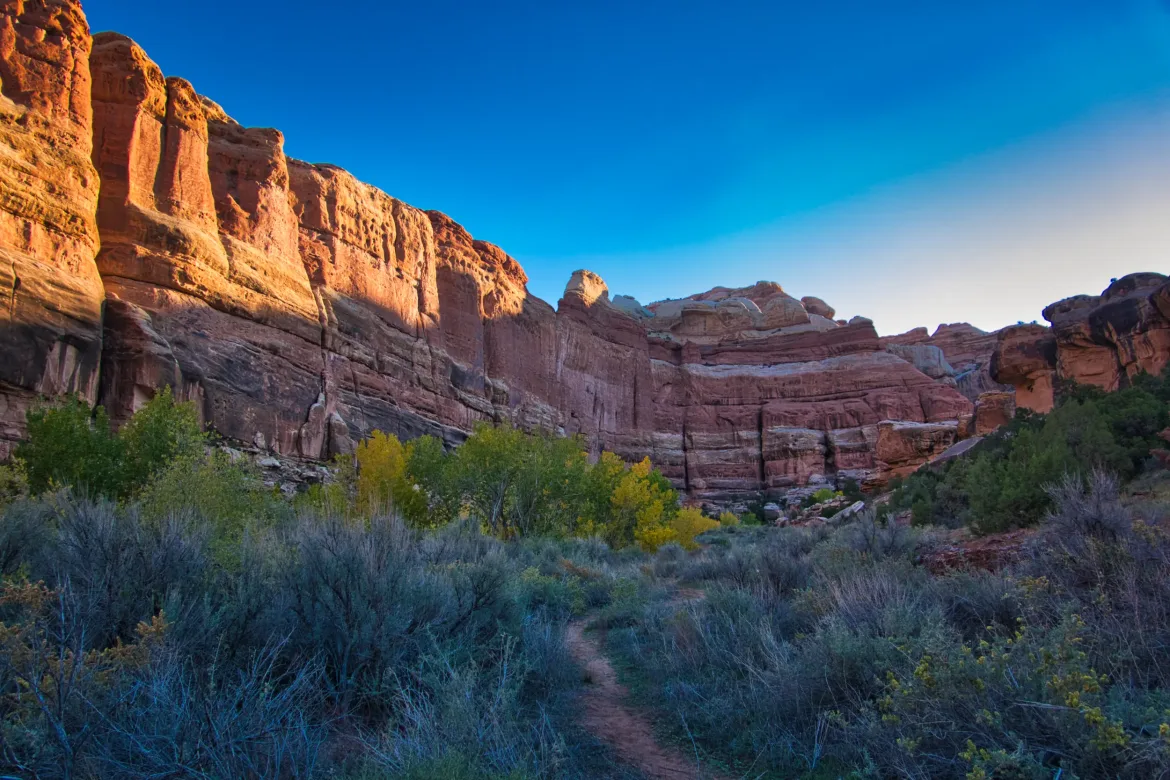
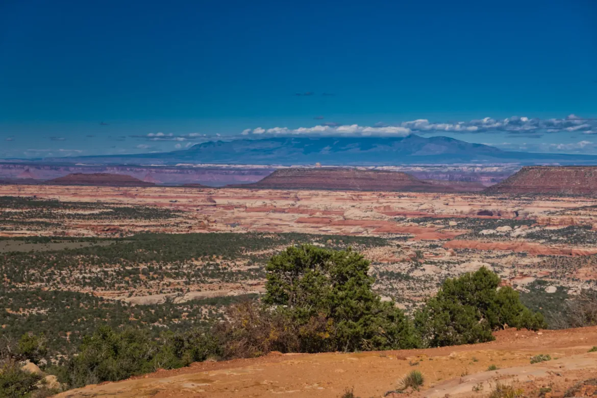
At the forest service road, I could go right or left. I’ve actually been debating this decision for about a month, and most of today aside from when I was exploring the ruins. I got input from several people before the trip and then a couple people I talked to at The Needles who had been in the area. I wanted to ultimately take the path which was the most scenic, which I couldn’t get good info on since they are both seldom travelled routes. It came down to either spending a lot more time in Dark Canyon or going the normal Hayduke route through terrain likely only travelled by Haydukers through some challenging but scenic terrain. Both routes had about the same amount of roadwalking to get to the start of them, and I decided on the spot to go to Dark Canyon since one of my friends spoke highly of it as a smaller Grand Canyon. This means that I will be skipping Beef Basin, Fable Valley and that area.
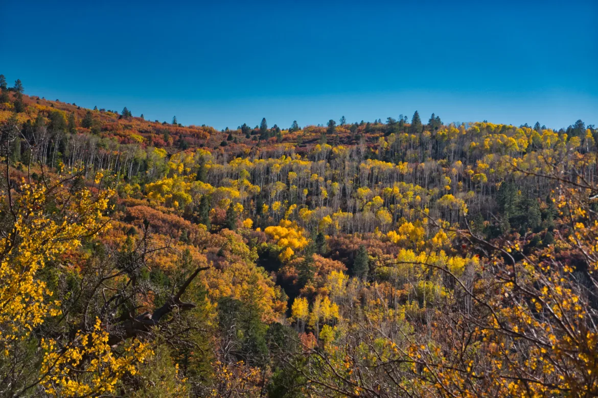
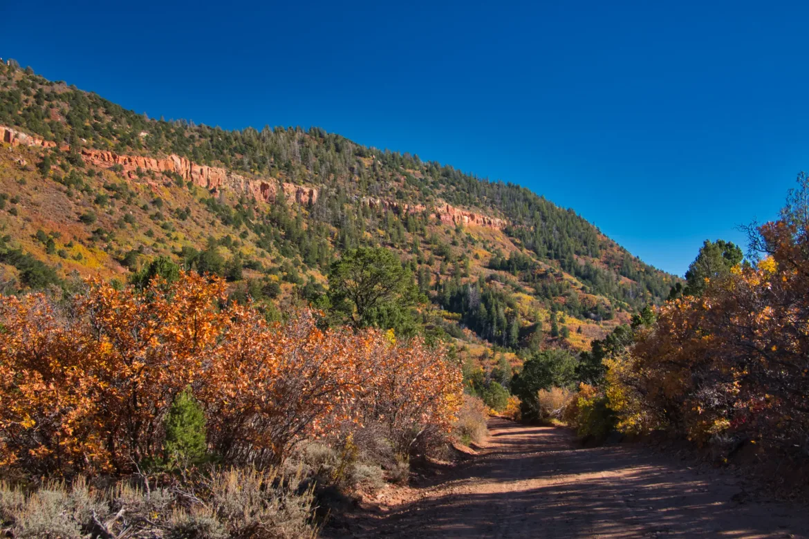
So, then it was down to the grind. I had about 13 miles of forest service roads to get to a trailhead where I could hit the trail down into Dark Valley. Not the most exciting thing in the world, but as I climbed in elevation, trees did start to appear. Also, as I started to climb, the leaves on the deciduous trees were changing color or falling as I gained elevation. The same trees weren’t changing yet at lower elevations.
I climbed and climbed and eventually got to about 8,500 feet. I had thought about going a few miles further today to sleep at a viewpoint over Dark Canyon, but it was going to get me to camp late, and I just didn’t want to push myself that hard so early in the trip. I ended up setting up in a field on top of a plateau. It’s chilly up here, and I’m keeping my sensitive items close to me tonight because I expect to see some frost in the morning.
I had more struggles with the Sterno today. I couldn’t even get it to stay lit, so I had slightly warmed water that I soaked my noodles in for a while, but they were still crunchy when I gave up letting them rehydrate. Far from the best camp dinner I’ve ever had, but it is what it is. All buttoned up in my tent and sleeping bag, ready for the cool of the night.