
Start: Needles Outpost Campground
Finish: Salt Creek Backcountry Campsite 4
Daily Mileage: 19.2
Trip Mileage: 124.9
Elevation gain/loss: 1375/833ft
Up early to maximize my hiking time in the fall daylight. I made my last use of the normal amenities like flowing water and Wi-Fi to check the weather before I quickly headed out. I had mapped out a brief cross-country route to get to where I was going to start the official National Park trail but conveniently found that my route almost directly overlayed an old road. Therefore, it was very easy going. I even found some sort of old electrical substation in the middle of nowhere, apparently destitute for years.
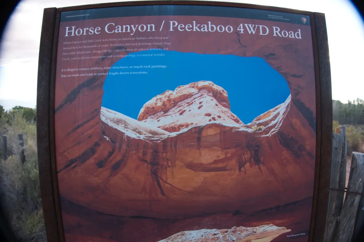
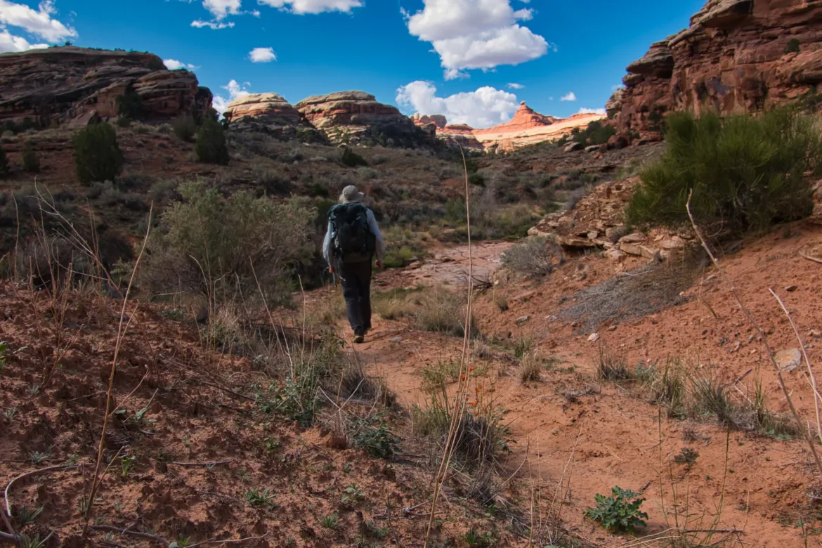
The first two days of this next section I will be hiking down the Salt Creek Trail which is famous for its Anasazi ruins. However, it turned out that on the first day there wasn’t too much since most of the ruins are further south.
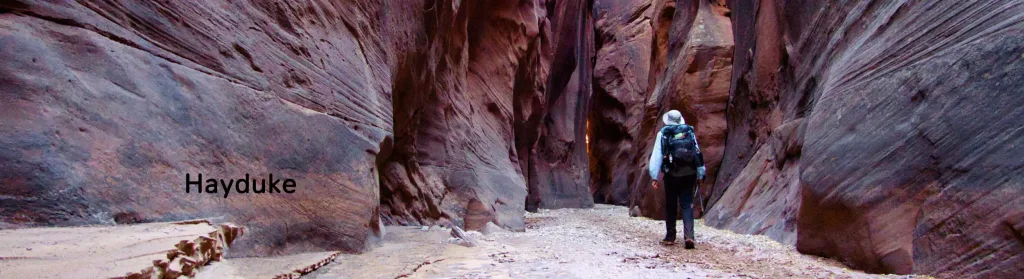
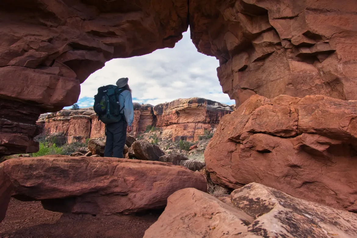
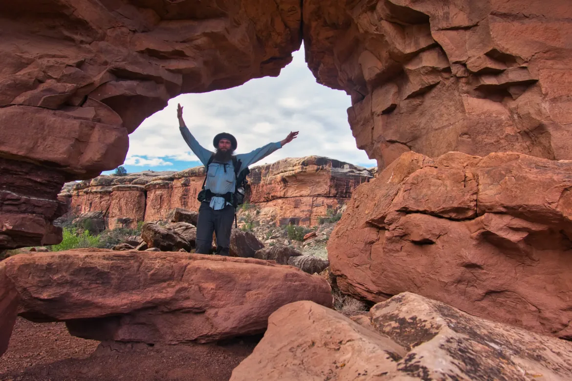
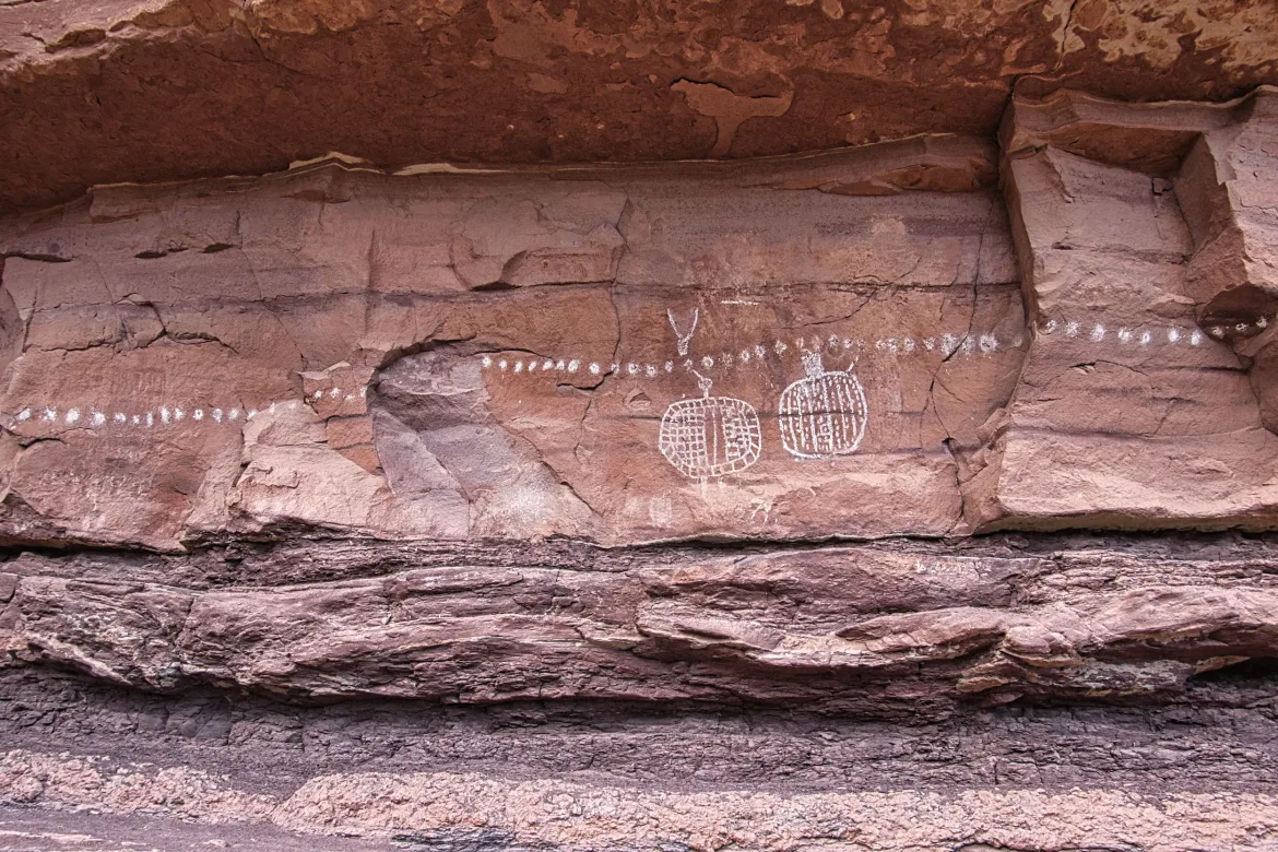
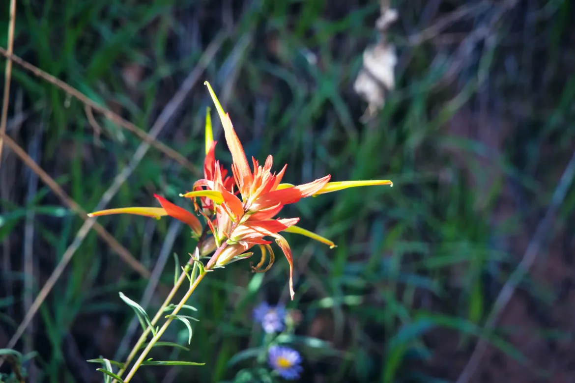
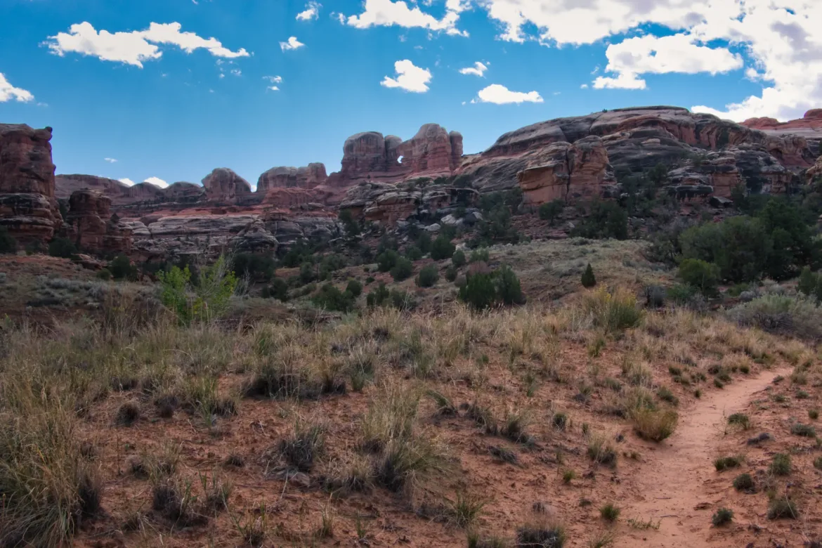
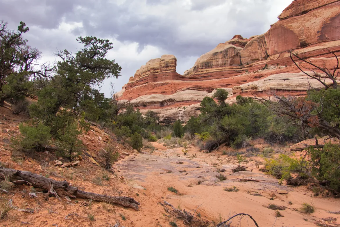
The trail started down in wash where it was one with a 4×4 track for a while, though the track was gated. The trail shortly got into Salt Creek Canyon and 4x4s were not allowed to go further. The first thing I found in the canyon was an arch that you could walk through to get to the other side of the ridge. There was a string of Indian pictographs next to the arch which were the first pictographs I’d seen this trip. There’s supposed to be a lot of these out here in general, and I had waypoints for a few of them, but had not been able to find any yet on this hike. Salt Creek is one of the few water sources in the area (though not flowing now), and was used to farm the land in ancient times.
After taking in the arch in the pictographs, I continued down the wash and around a bend and saw another arch. I went up to that one as well and saw a couple more very faded pictographs. I went through that arch and then realized it was the same arch I had just visited! I didn’t realize I had just done a 180 degree turn in the wash, and could have just walked through the arch as a short cut. Oh well, no harm done, I just felt silly.
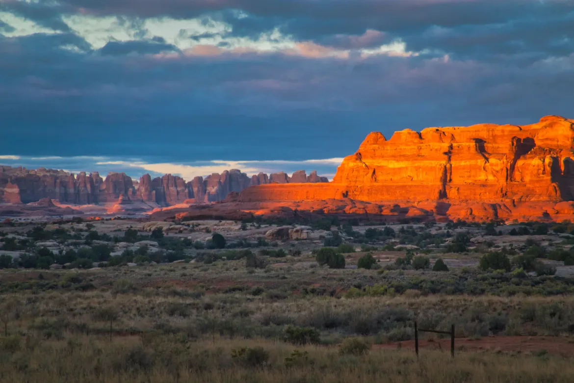
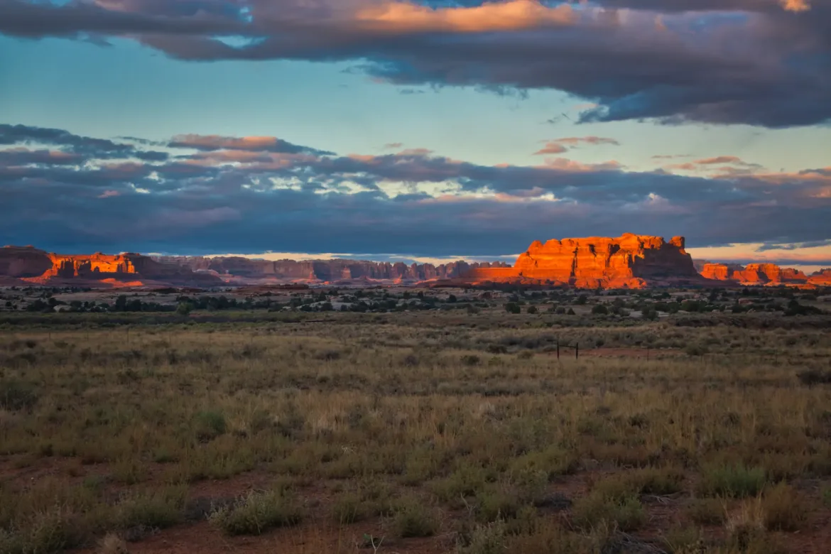
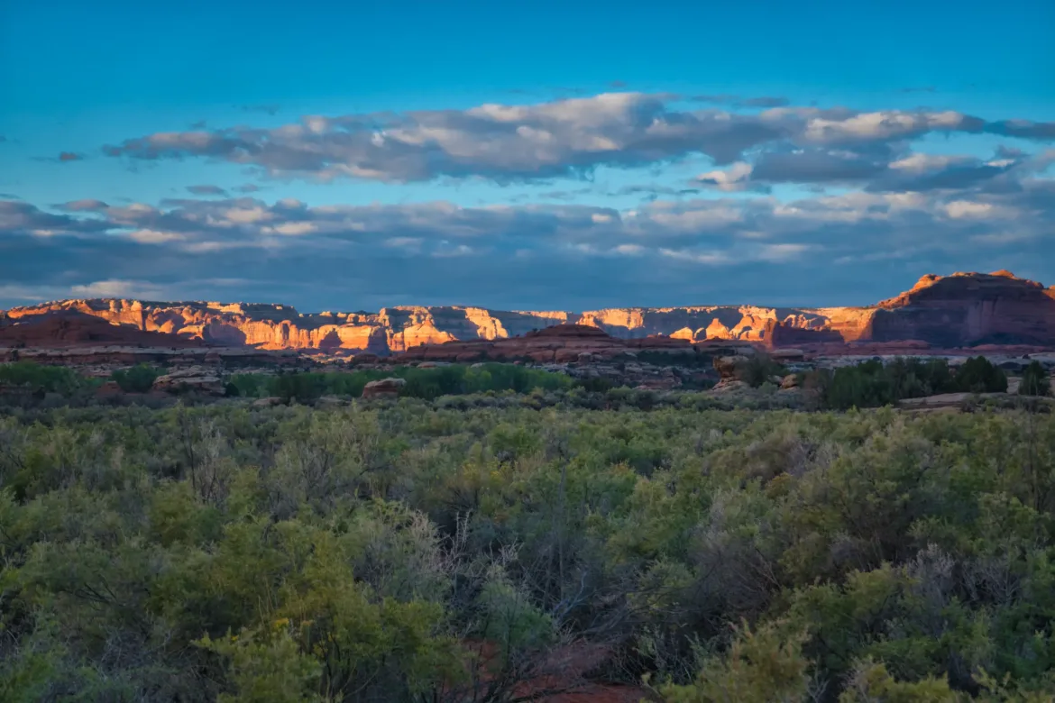
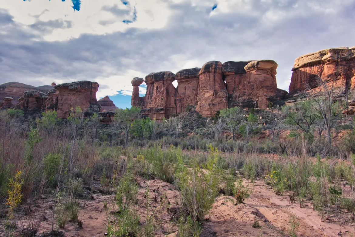
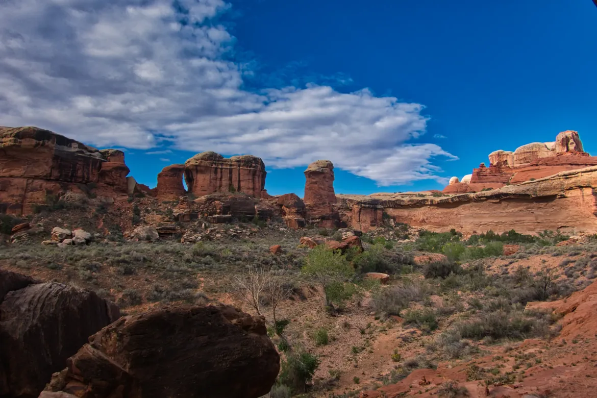
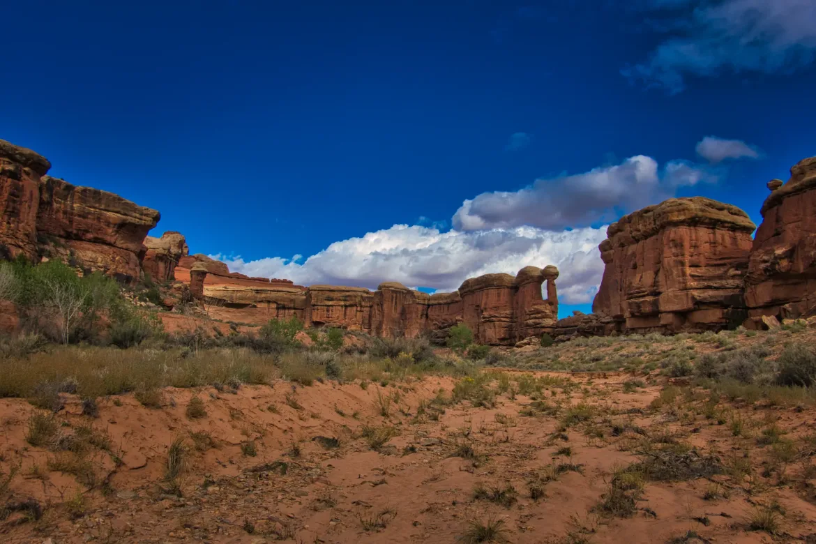
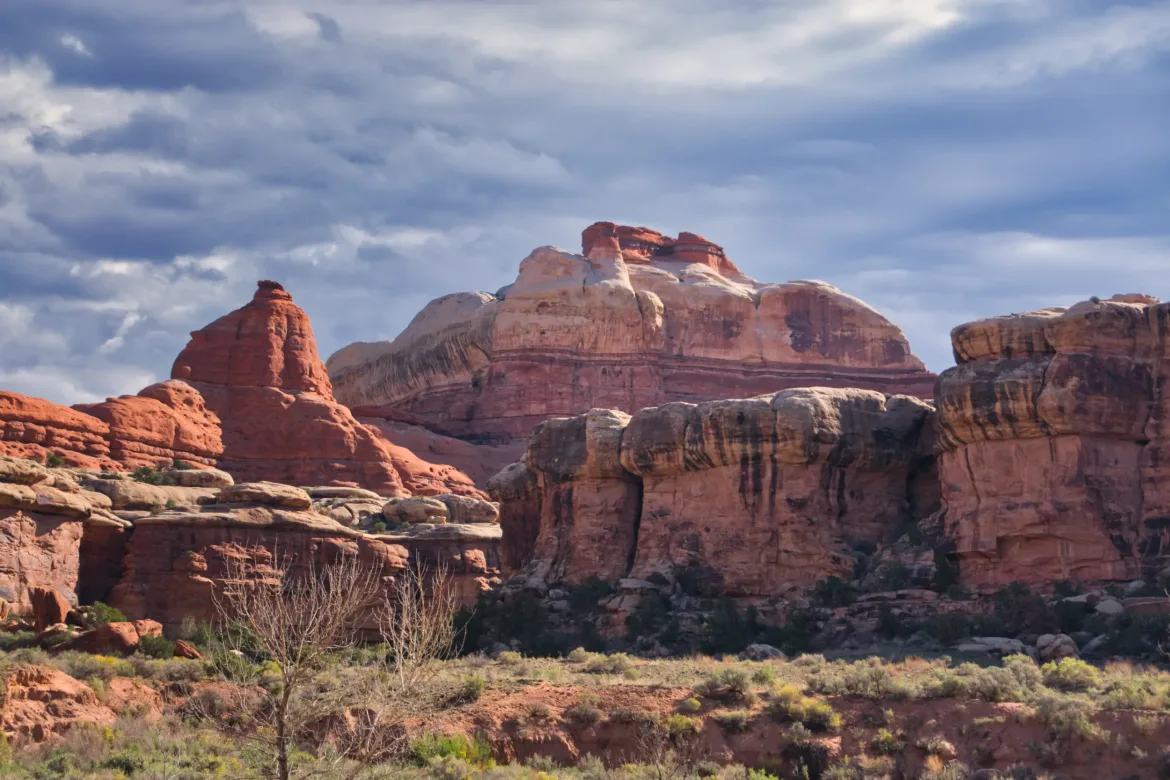
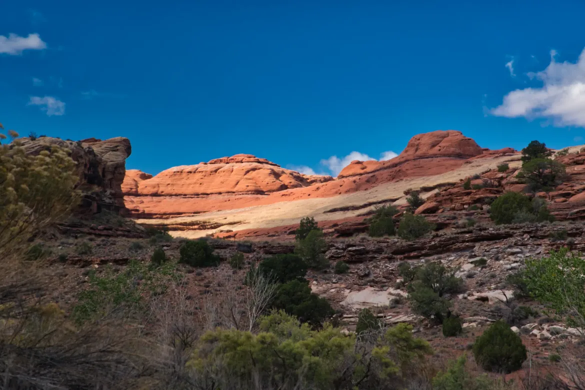
The rock was pretty varied through Salt Creek Canyon, but there is a lot of deep red with a band of bright white. I really like the combination of the two strikingly different colors side by side, separated by a discrete line. What happened to dramatically change the composition of the rock so quickly? I took lots of pictures of this throughout the day and just generally enjoyed this section of mostly actual trail.
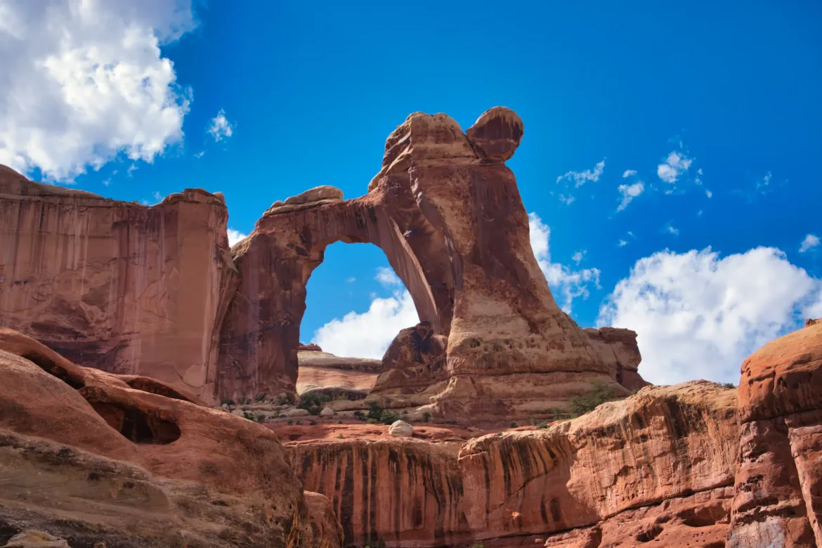
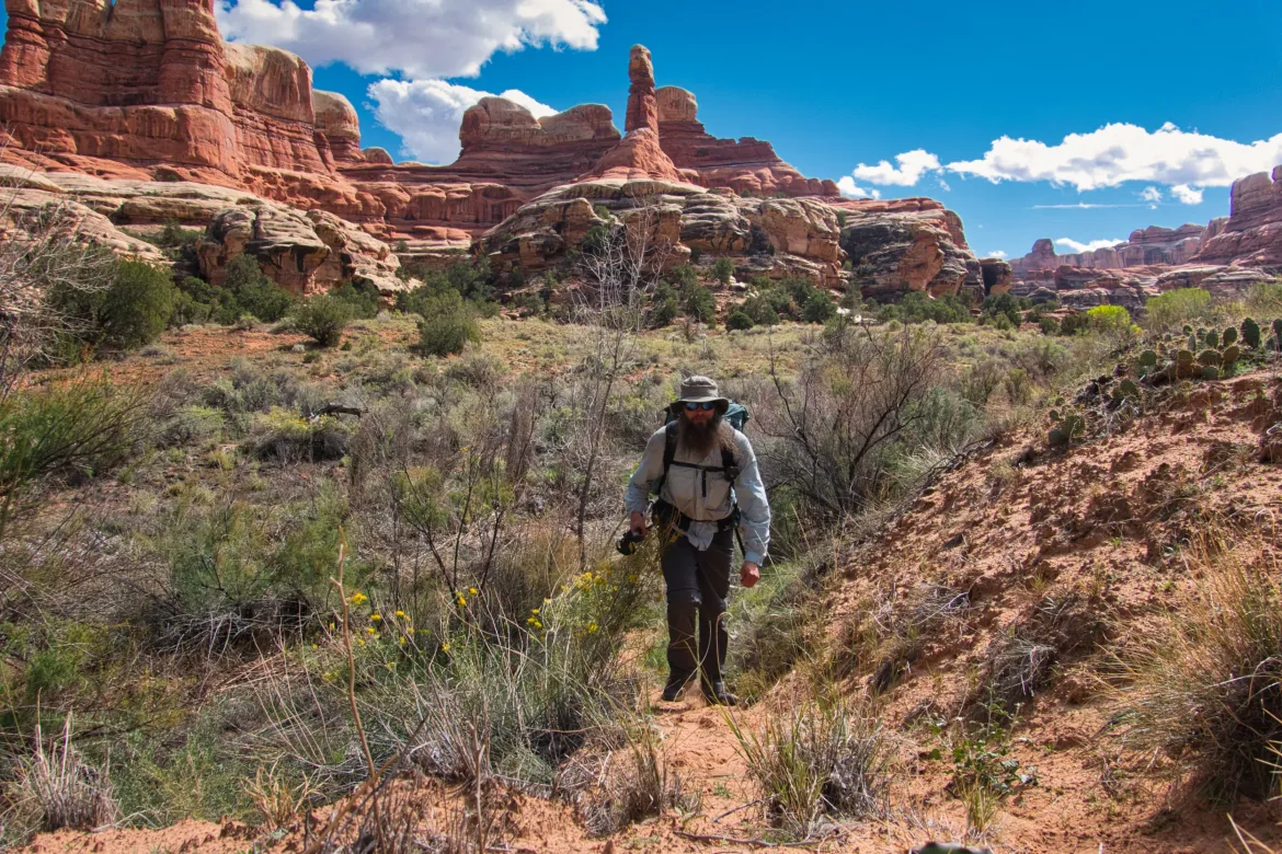
I was doing pretty good on time, so I did a side trail out and back to Angel Arch, 1.7 miles each way. A pretty big detour for a long-distance backpacker! The National Park made me take a bear can to do this trail so I did leave the can at the trail junction trail so I didn’t have to drag the can plus five days of food all the way up and back. Might as well take advantage of having the bear can. It was a well worthwhile detour. Angel Arch was pretty impressive; it was high up and very large, and had a unique right pillar which resembled an angel with wings. There is also a formation there called The Molar which looks strikingly like a tooth.
II was going to stay up there and take a break for a bit longer, but some darker clouds started to roll in so I hiked back to rejoin my trail.
I got back to the main trail in short order and started to think about grabbing some water since it wasn’t too far to my camp. I passed a couple puddles which didn’t look that great, but I had been seeing a lot of water in this section so I figured I would pass those up and get some water closer to camp. I kept looking in the stream and it kept being bone dry and I made it all the way to camp without seeing any water! I pondered what to do now. There was a marked ruin slightly further down the trail and I thought that maybe there was a ruin because there was good water there. So, I went to the ruin and it was dry. I decided that I had no idea how far forward I would have to go to find water and that I should probably just turn around and go back to where I knew I saw water. I had to stay in the designated campsite to meet my permit. So, I headed back past my campsite again and back another two miles before I came to the water that I last saw.
I was filling up with water when dark clouds started to roll in once again. I got the minimum amount of water I needed plus an extra liter of unfiltered water in my reservoir and booked it back to camp. In this whole scramble to find water, I had just left my pack out at camp when I dashed off to find water. If it started raining it wouldn’t be good because it wasn’t waterproofed today. I really didn’t think through getting this water and made a few bad decisions today. I made it to camp without any rain and 2 hours after I first arrived. Perhaps my biggest set of mistakes on this trip so far, but I did manage to recover, thankfully with no real negative impacts.
My next adventure was using the Sterno for the first time to try to boil water. All I had was a can of Sterno and my pot, so I set the pot on top of a couple of rocks to prop it above the fire of the Sterno. The can of Sterno looked about 10 years old and went out several times without there even being any wind. I tried different size rocks in different setups and in about an hour I was left with some lukewarm water. Not ideal at all! I took what I had and just let my noodles soak for longer and they came out good enough in the end.
I was having a pretty good day enjoying the scenery until I got to camp and had my struggles with water and the Sterno. I have learned my lesson on being more conservative with water out here in the desert, and I resolved to think a lot harder when passing up sources in the future. I knew the Sterno wasn’t going to be ideal and it worked well enough. I will just have to hit the reset button with sleep tonight and then hopefully start tomorrow off better.