
Start: Moab Airport
Finish: Just outside Arches National Park
Daily Mileage: 11.5
Trip Mileage: 11.5
Elevation gain/loss: 1436/1133ft
At 3-something in the morning the alarm went off and Kate and I somehow managed to deliver ourselves to the airport. We flew into the microscopic Moab airport with our packs and a checked cardboard box. The “terminal” was a room and the baggage was taken from a cart and deposited on a platform outside. We stuffed everything in our packs, contemplated how much water to take, and headed straight into the desert from the airport. We weren’t starting from the “official” starting point of the Hayduke trail since it is logistically challenging to get to, and you can easily join the route straight from the airport.
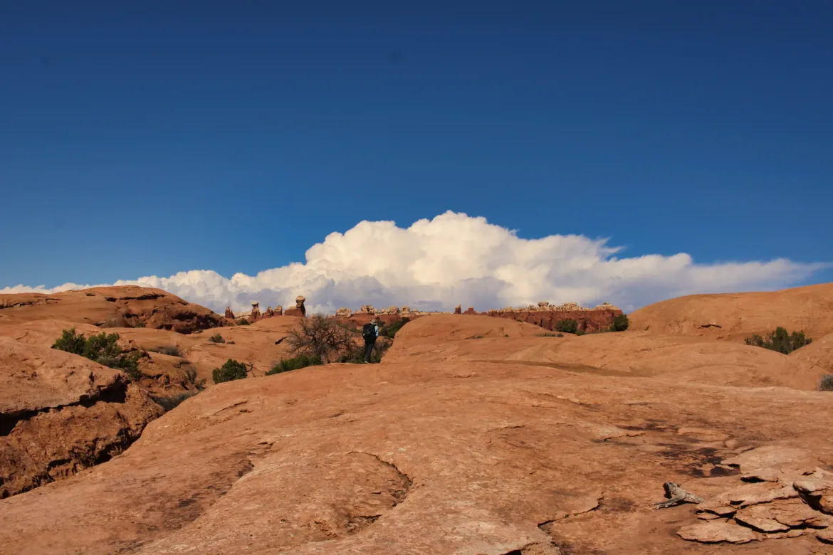
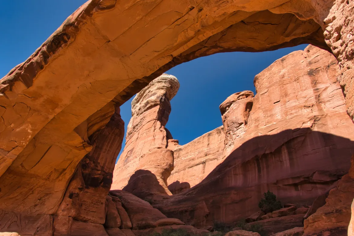
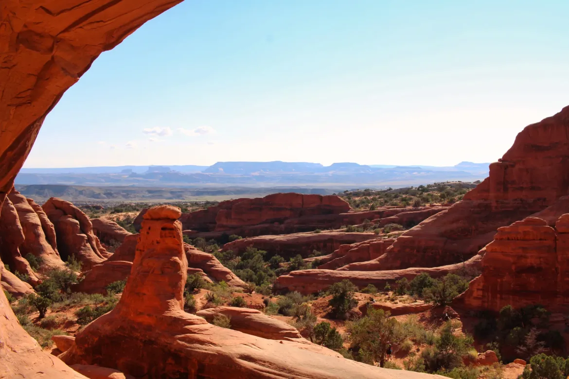
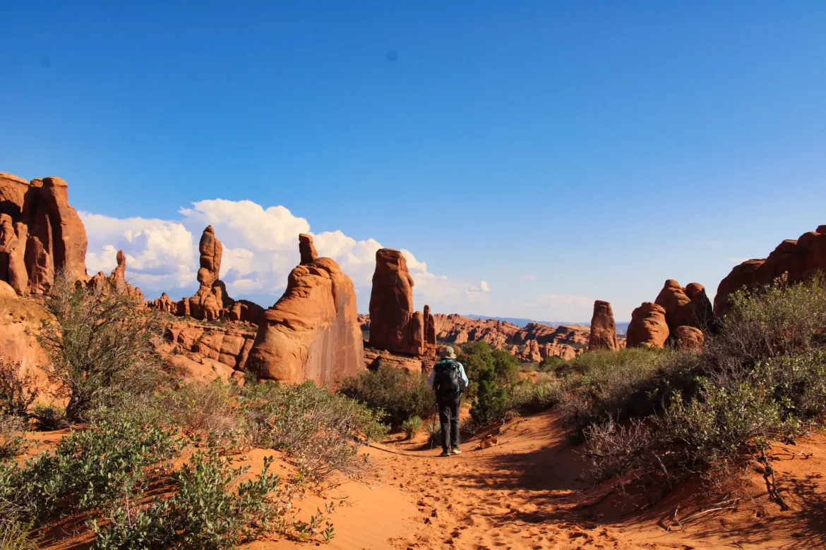
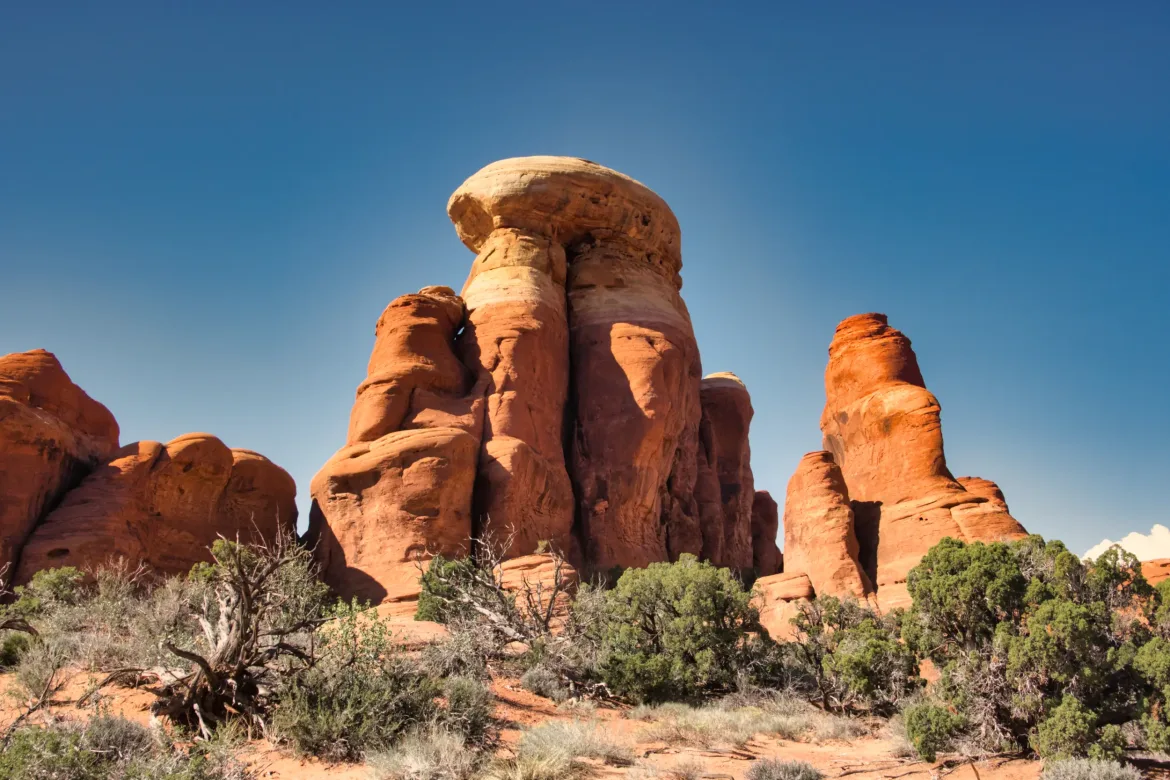
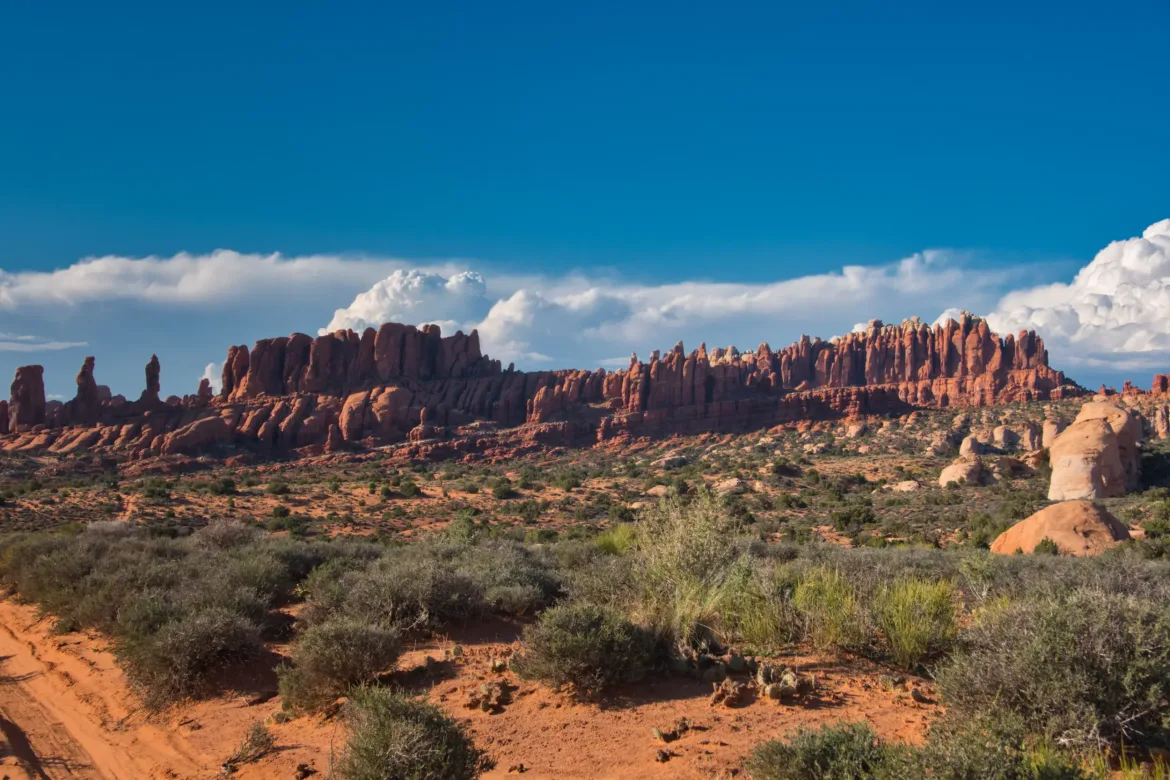
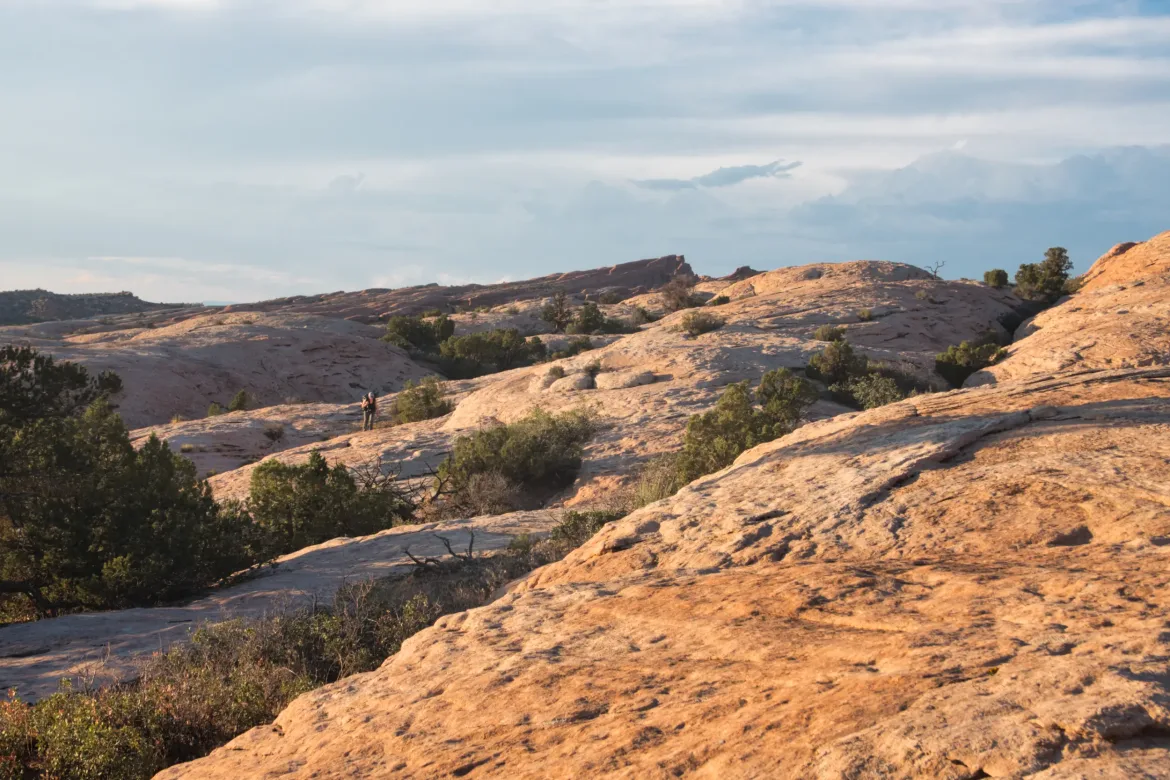
We followed 4×4 tracks and did some fun cross-country navigation on ribbed slickrock to head into Arches National Park. There were a fair number of 4x4s out, but they were enjoying the wilderness just like we were, so it didn’t bother me to share the public land.
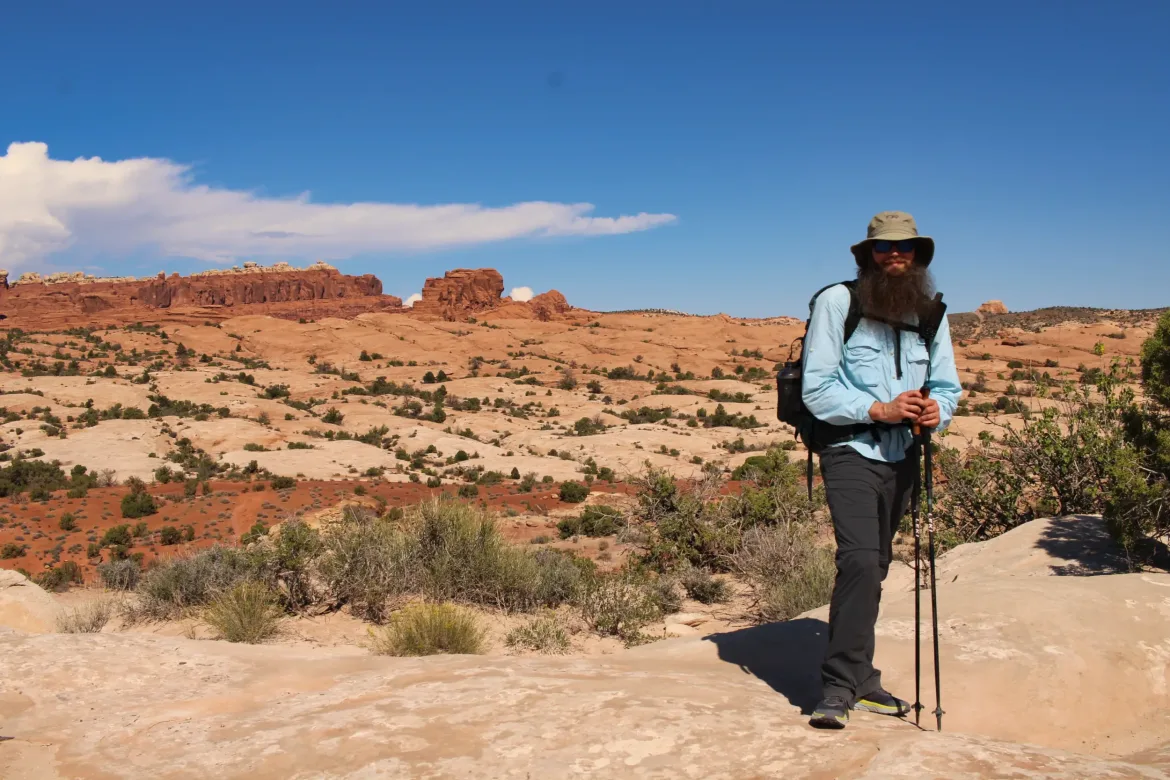
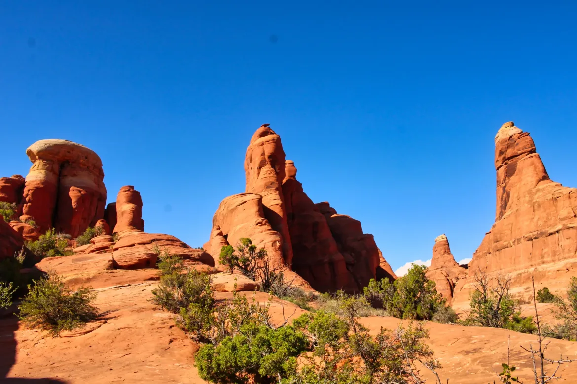
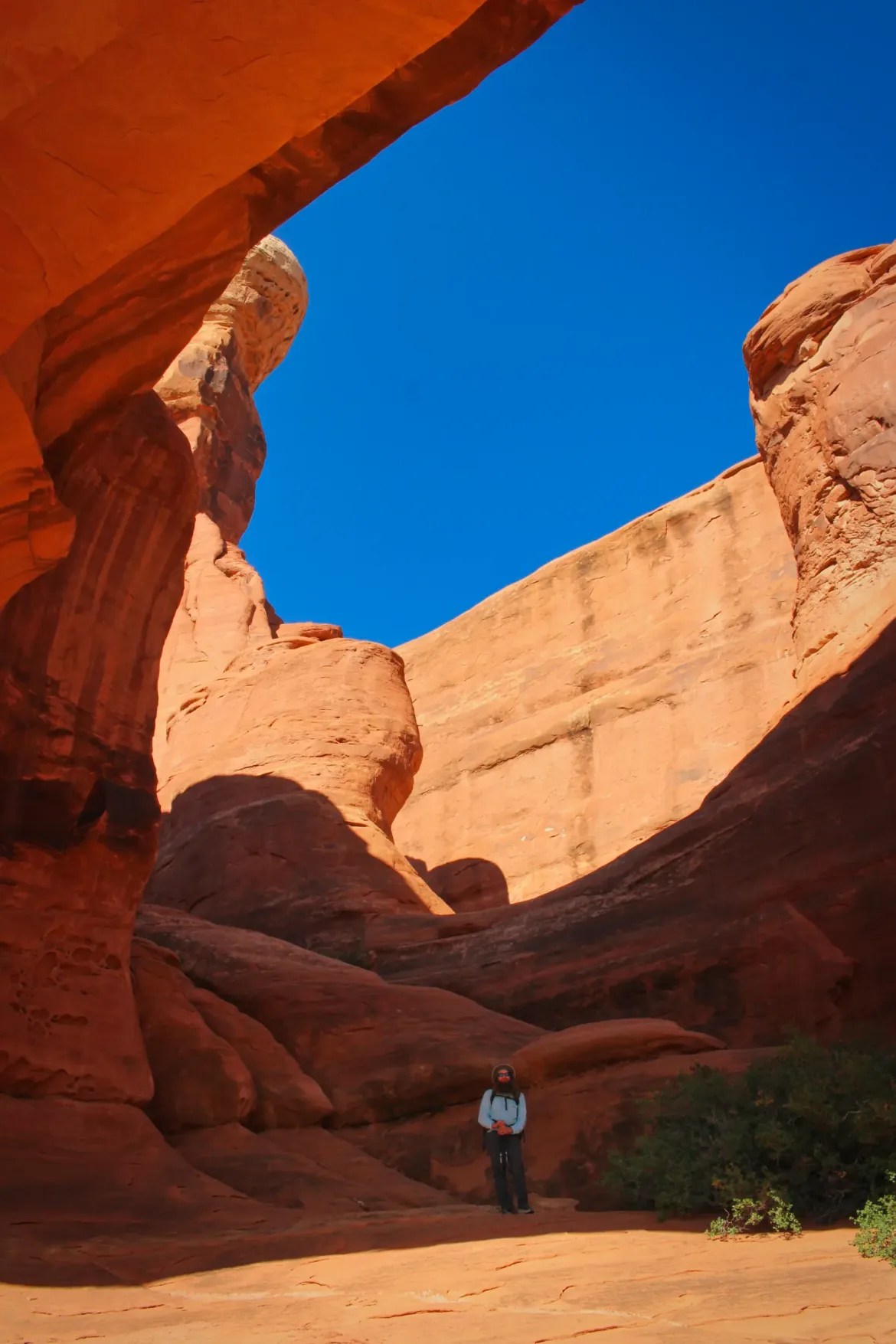
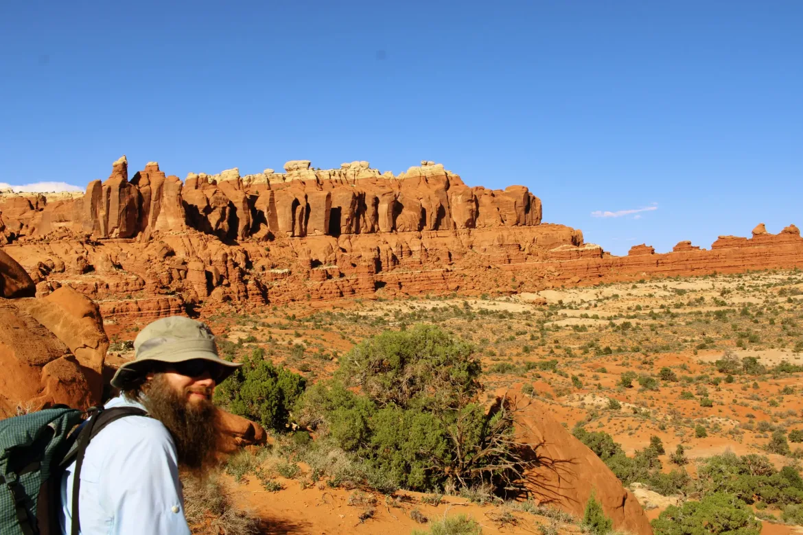
When we got to Arches National Park, we quickly came to Tower Arch which we had seen coming for a long time in the wide-open desert landscape. The arch was really impressive; you could climb through it and it was enormous. We took a couple breaks around then because the temperatures were getting hot and we were in full sunlight. I’ve hiked in the desert before but I knew that I would have to do some adjusting for this trip to see how much water I needed to drink and carry. I don’t do the best in hot weather and Kate was about the same.
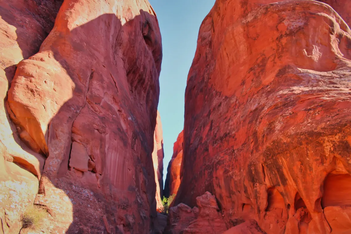
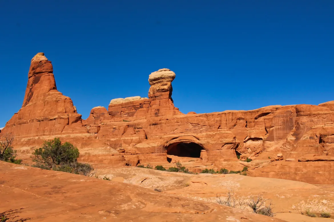
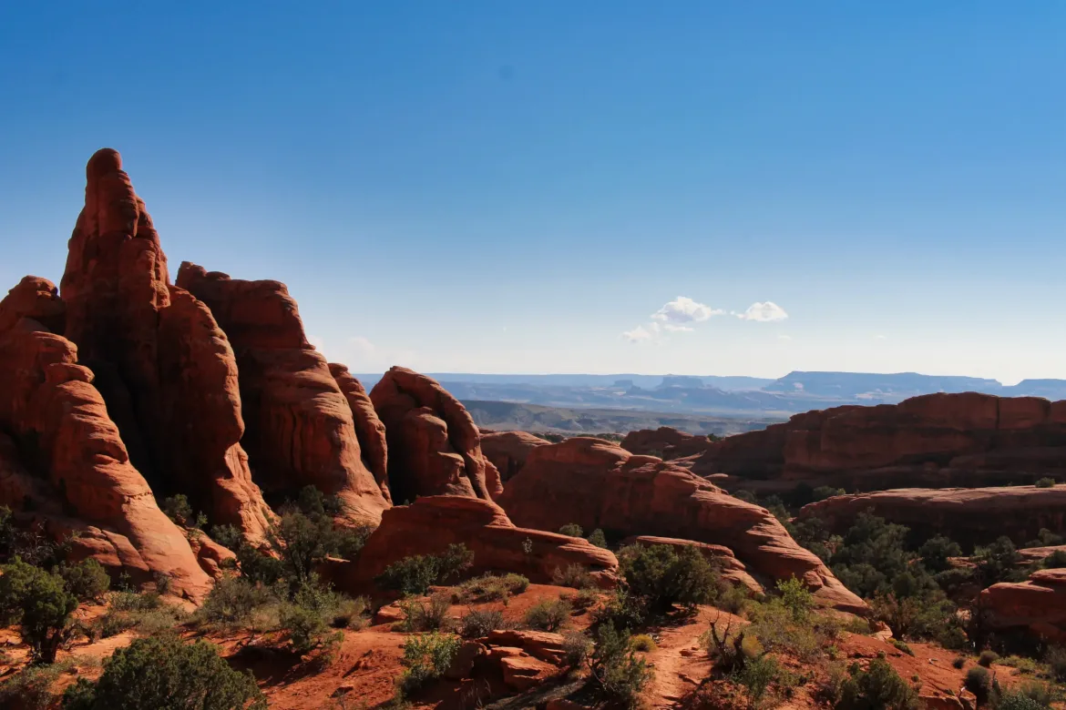
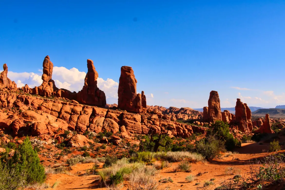
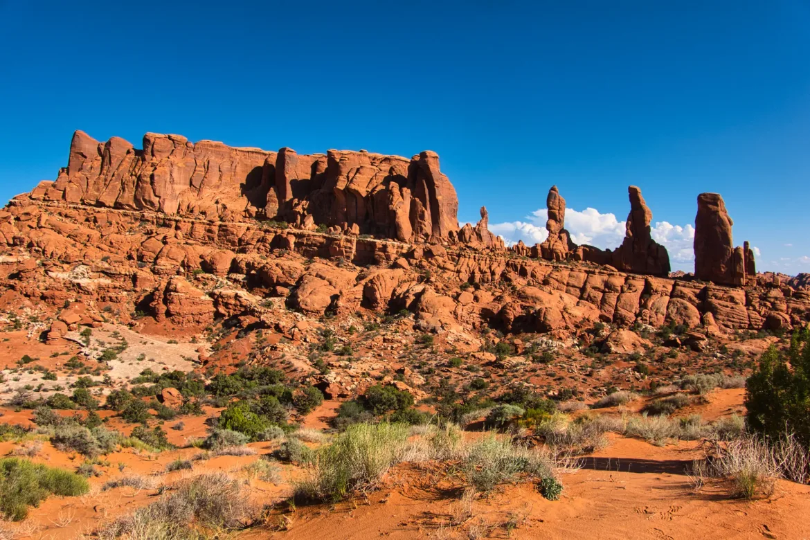
After Tower Arch we hiked a little bit of trail before we once again headed off on our own going down a wash until we had to abandon it to go a different direction. There is a lot of cryptobiotic soil around here which you’re not supposed to step on which makes cross country travel difficult. The cryptobiotic soil is a hard soil crust formed by bacteria colonies on the surface of the desert. It prevents erosion and desertification so it is important to the ecology of the area to leave it intact. Stepping on it harms the colonies and they can take years to recover. We did our best but can’t say we didn’t step on a little bit.
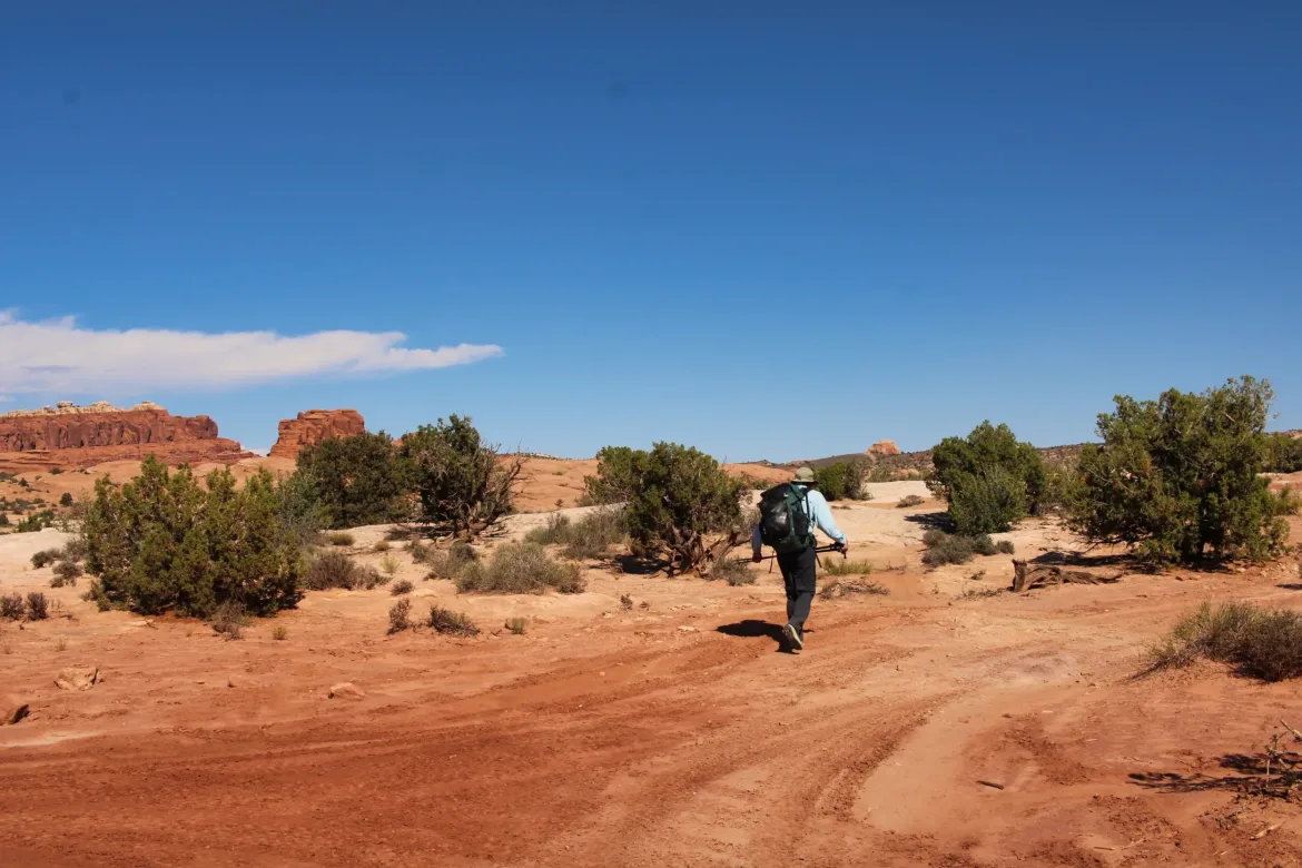
We navigated off-trail with a combination of GPS and compass, crossing the desert until we eventually rejoined a 4×4 track. We were walking down the track when a Jeep stopped and offered us water. We could have gotten by with what we had, but we gladly accepted a couple bottles of water. It was getting quite warm by this point, in the low 80s and we were fully exposed with the lack of cover out here.
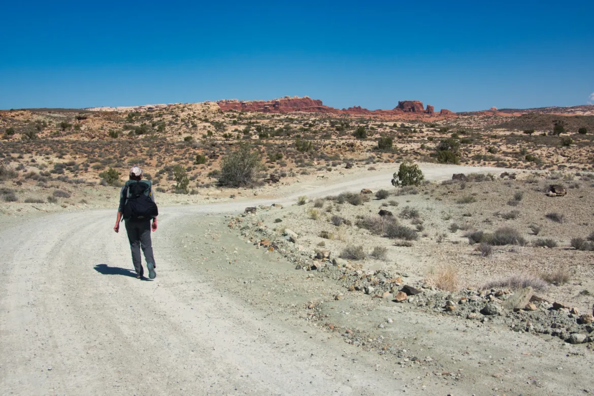
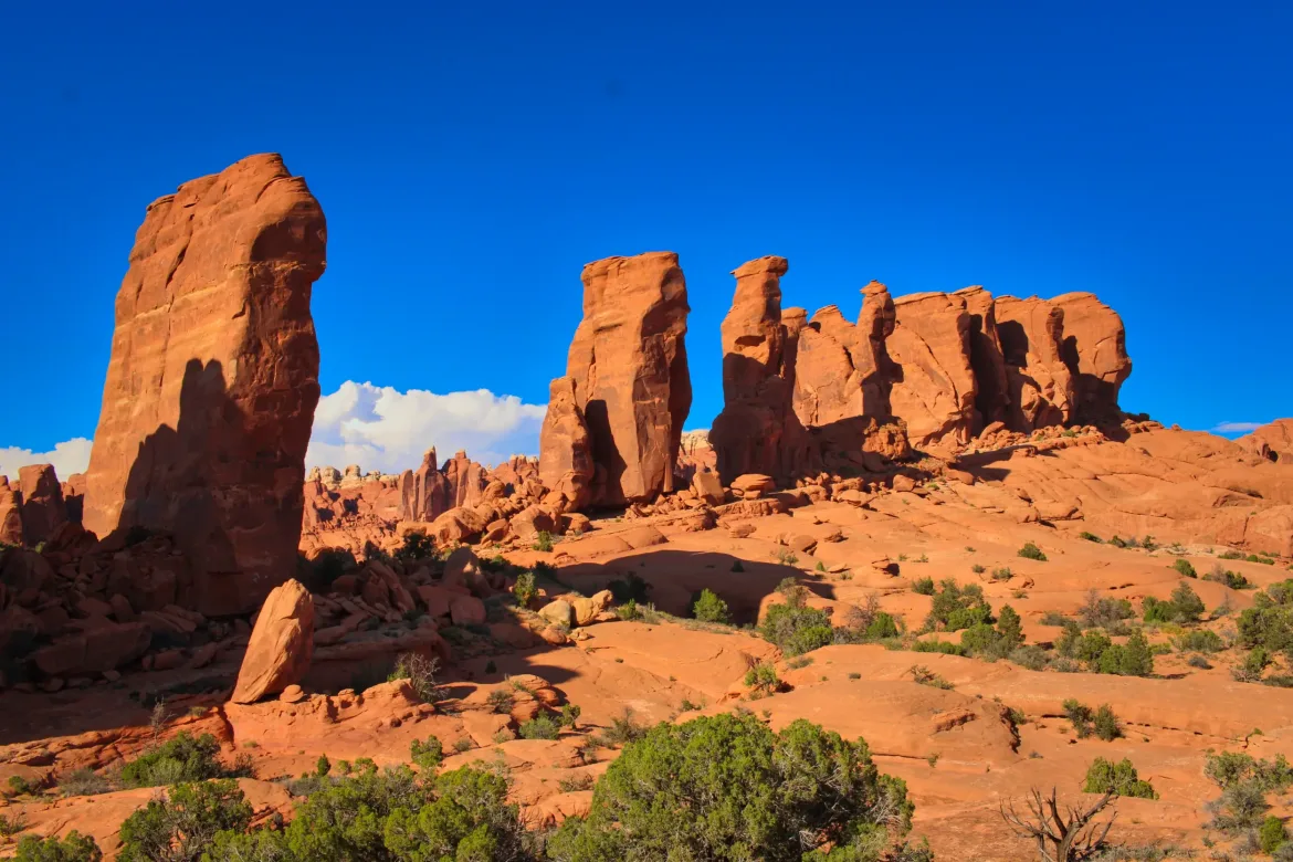
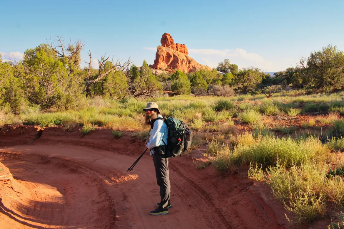
We hiked down the 4×4 track for a while before turning off and going cross-country through rocky terrain.
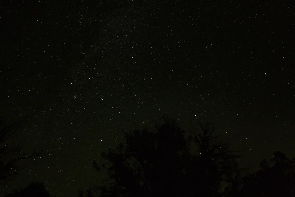
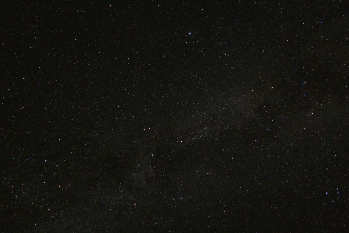
About that time, we were getting tired because we had done around 12 miles since we started out the airport in the afternoon with a pretty aggressive pace. We also had a very early morning flying out of Seattle. Kate insisted that we start looking for a campsite and within a minute we stumbled across the first camp site we had seen the entire trip. Talk about timing! We settled in and hoped to watch the sunset but the sun disappeared behind some clouds before hitting the horizon. The Milky Way came out in full force quickly and I played around with my camera to get some good night time exposures before bed, cowboy camping beneath the stars and bats.