
Start: Top of the Waterpocket Fold at the head of Stevens Canyon
Finish: Hamblin Arch
Daily Mileage: 20.6
Trip Mileage: 358.5
Elevation gain/loss: 2242/3265ft
I thought I was going to be cold last night since I was at a higher elevation, but it wasn’t too bad. As always, it seemed colder than it was when I actually got out of my sleeping bag.
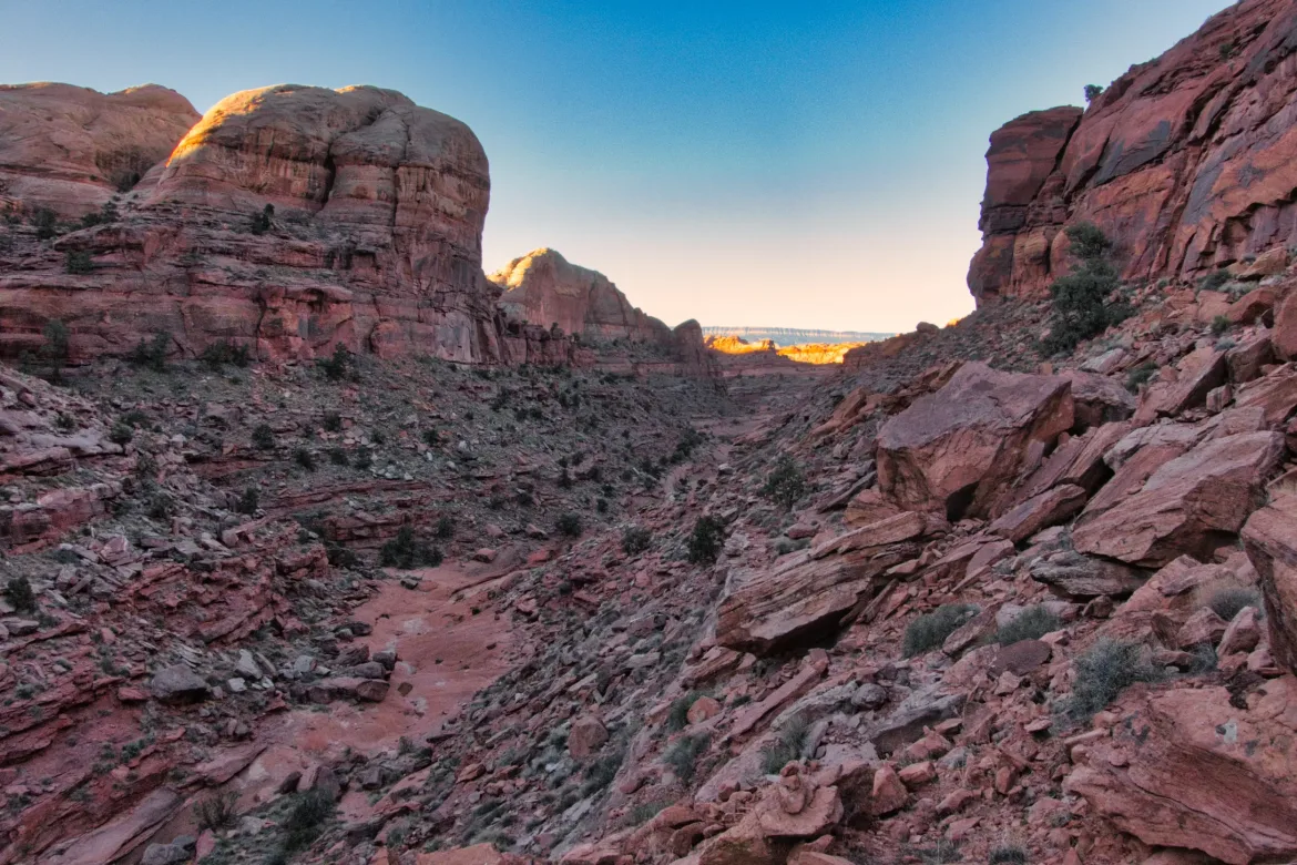
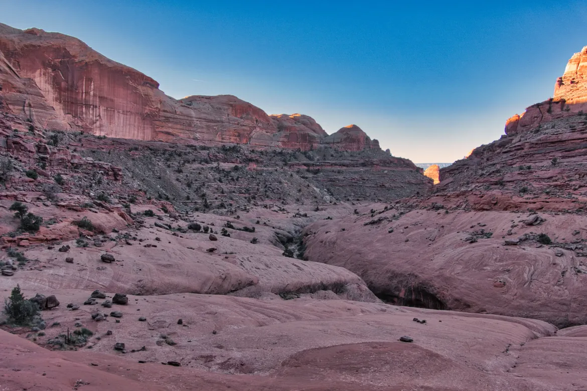
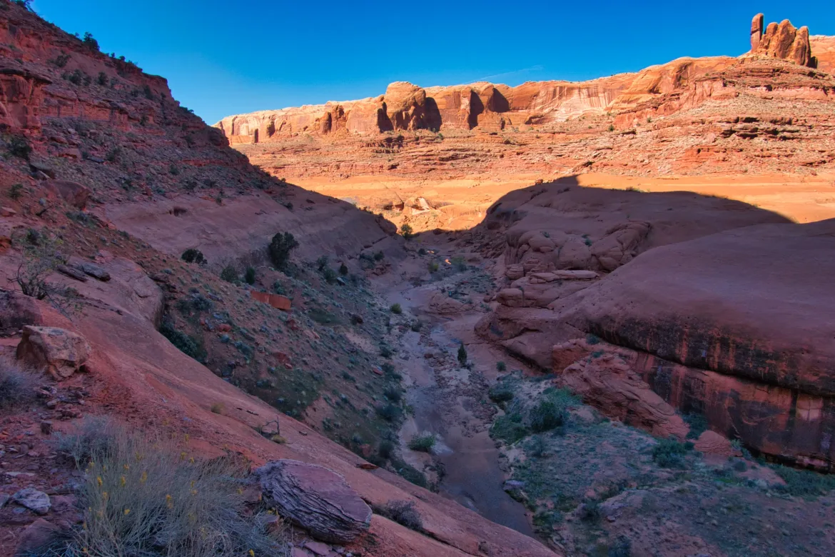
I continued down the wash I started on yesterday, which fed into Stephen Canyon. I would follow this canyon for much of the day today. I took the wash for a bit, but then I had to work around the head of a canyon to get to the right spot where I could get around a dryfall and drop into it. I finally found the cairned trail again to take me to the spot to get into the canyon. When I got there, the cairns led down the canyon rim, and my GPS said to go straight into the canyon, but I decided to follow the cairns since there was good treadway, and I figured that route had to drop down into the canyon eventually. It sure did, and it was a very nice and easy descent into the canyon.
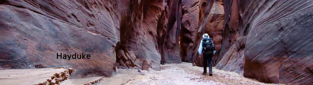
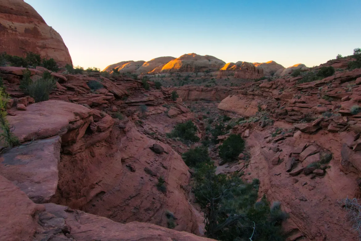
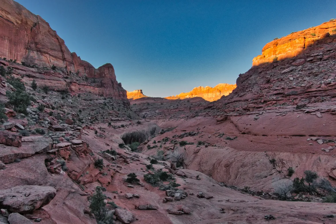
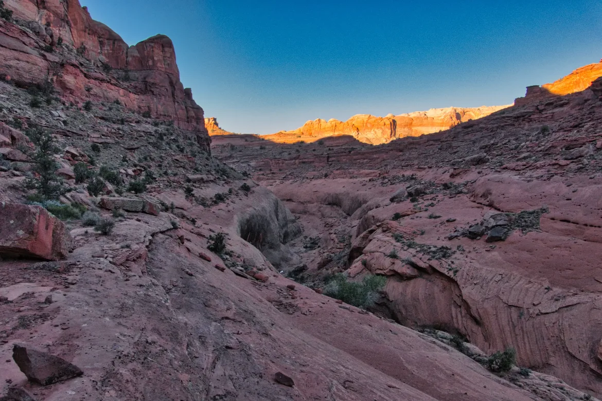
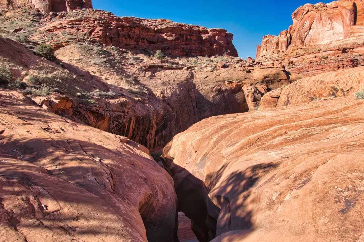
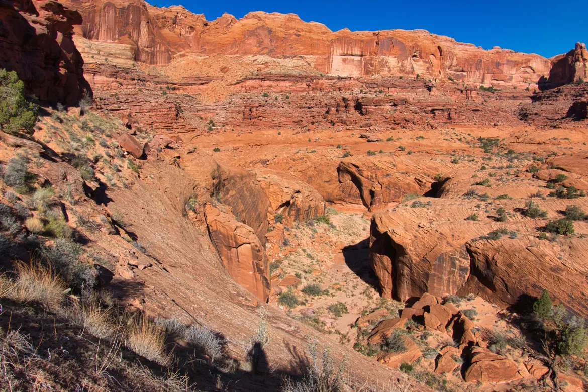
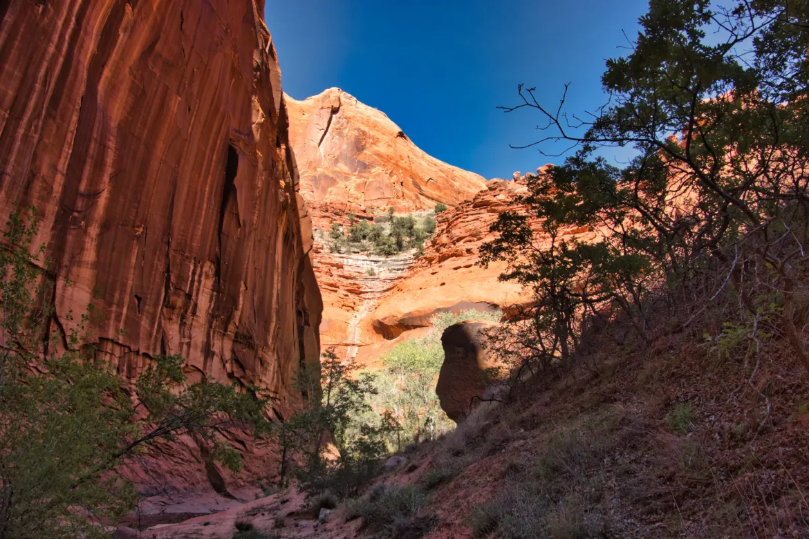
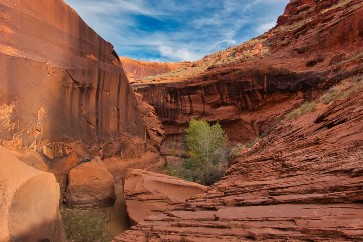
I followed the wash in the bottom of Stephen Canyon for a while. It wasn’t too difficult, and as I descended, the canyon walls rose around me. I soon got to a big dryfall, and the trail went up on the left side of the canyon wall. There was good treadway where there was dirt, but the route often crossed large stretches of bare rock. The view down into the canyon was spectacular from above with ledges and undercuts below the rock I was walking on. It’s nice to have a view from above occasionally and not just be down in the canyon where you can’t always see a lot. The bypass stayed up on ledges for 3 miles or so. During that time, it was often side-slabbing on slanted rock, slanted toward the drop into the canyon, and this got old after a while. There were a lot of pebbles on the slab rock I was walking on, and one wrong step hitting one of those pebbles could have made me slide out and down. I would normally be fine with hiking like this, and I’ve done it many, many times, but the constant miles of doing this got to my nerves after a while, and I just wanted to get down.
About halfway through the canyon, there was another Hayduke hiker coming towards me. I did not at all expect to see that. We stopped, and he said his name was Thomas. He tried to do the Hayduke Trail this spring but had to quit due to injury, and he wants to try it again next year. He’s just trying out some sections now. We exchanged info on the trail behind each of us since we were going in opposite directions and gave each other pointers. When we traded names, he said he had heard of my trail name before, but I know there are several other Yetis out there other than me.
I continued on after meeting Thomas, and the stream down Stephen Canyon began to flow consistently. It was still very brushy, but now there was more water as well, and I decided just to get my shoes wet again to make the dodging back and forth across the stream easier. I knew I had a wet crossing of the Escalante River coming up anyways. At one point, I went over a hill coated with poison ivy that Thomas had warned me about. Once again, I washed up in my convenient flowing water after coming in contact with it.
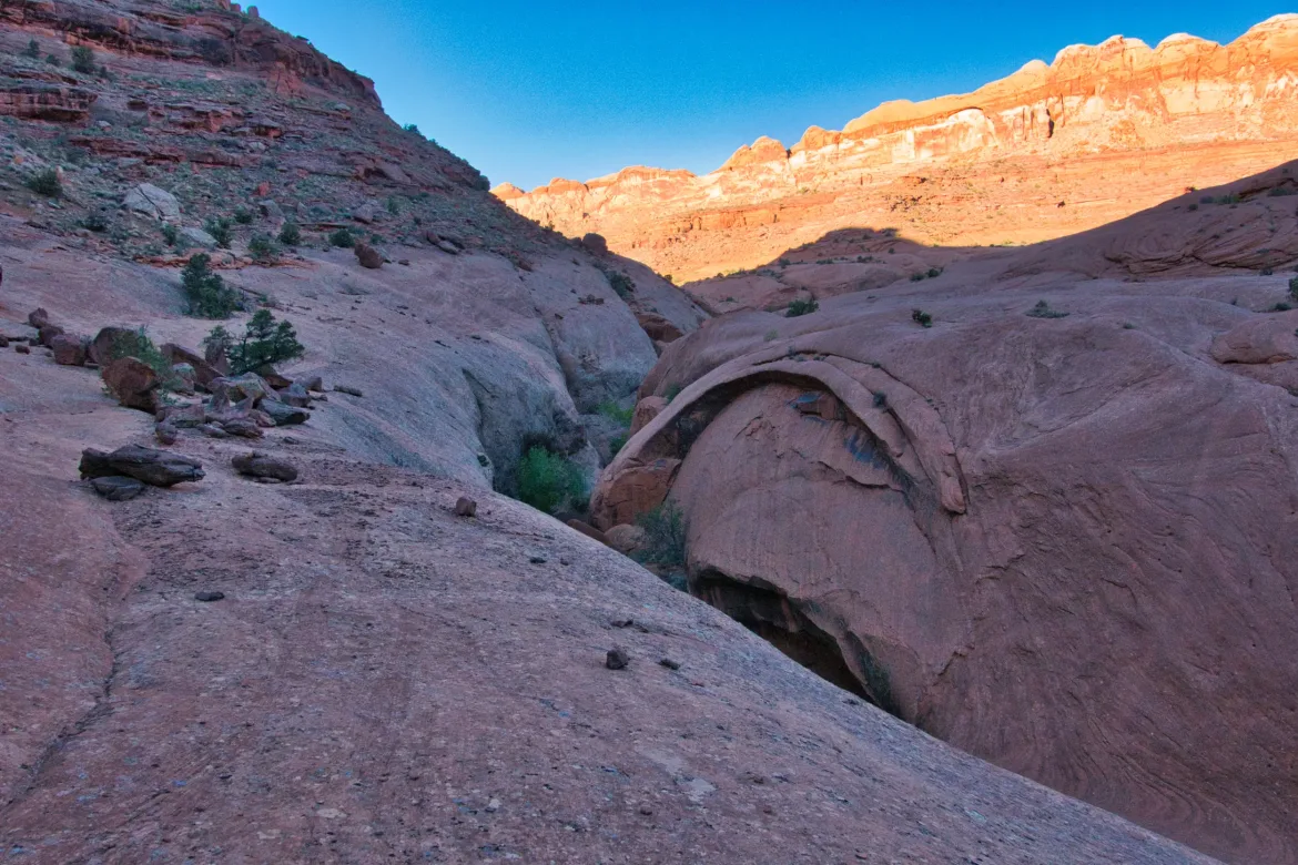
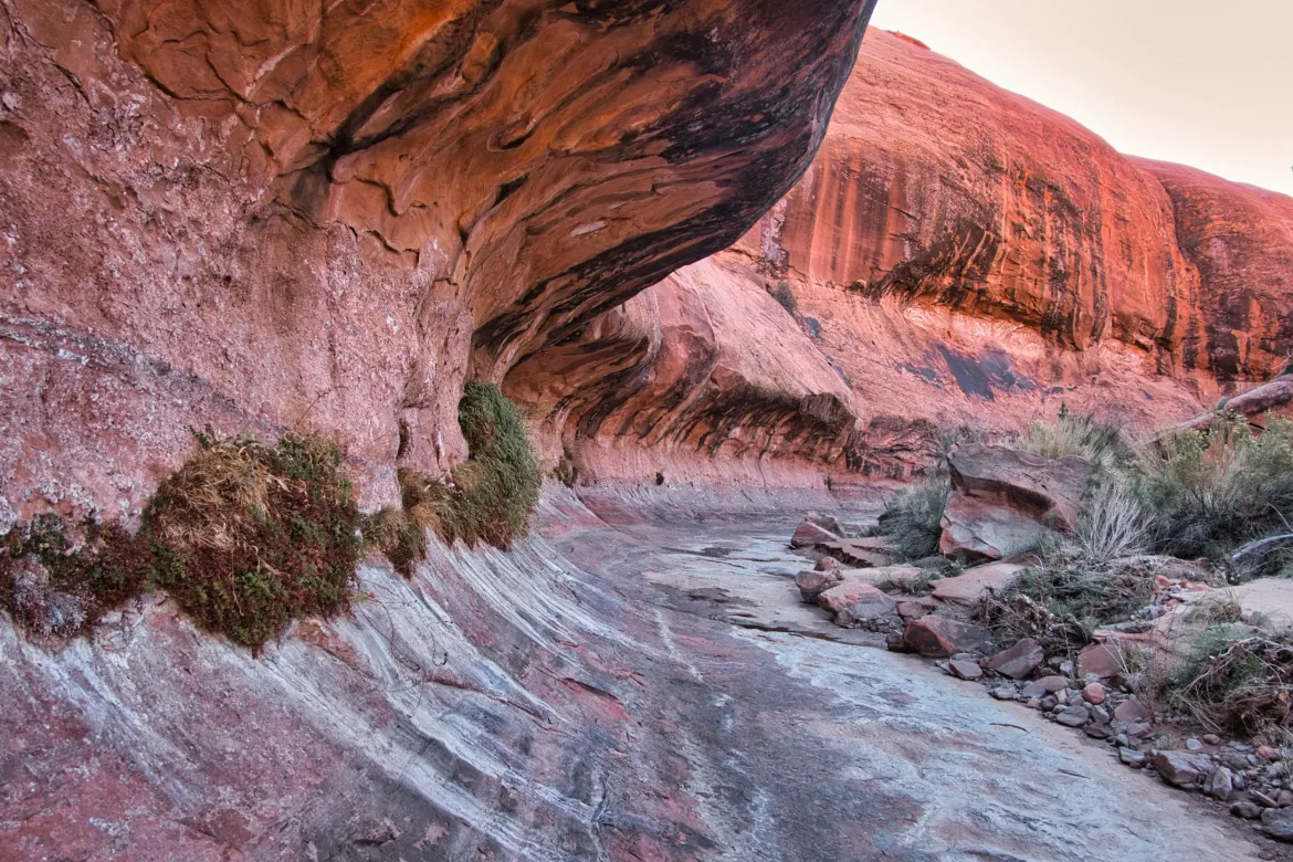
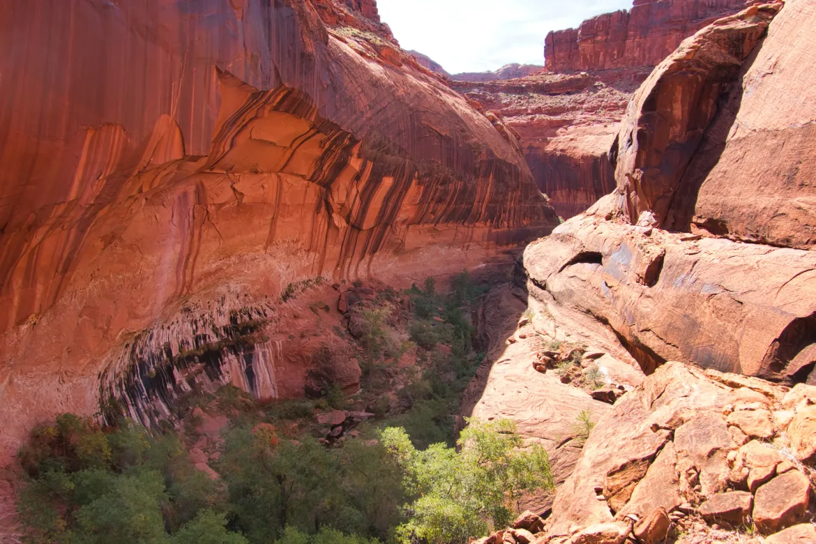
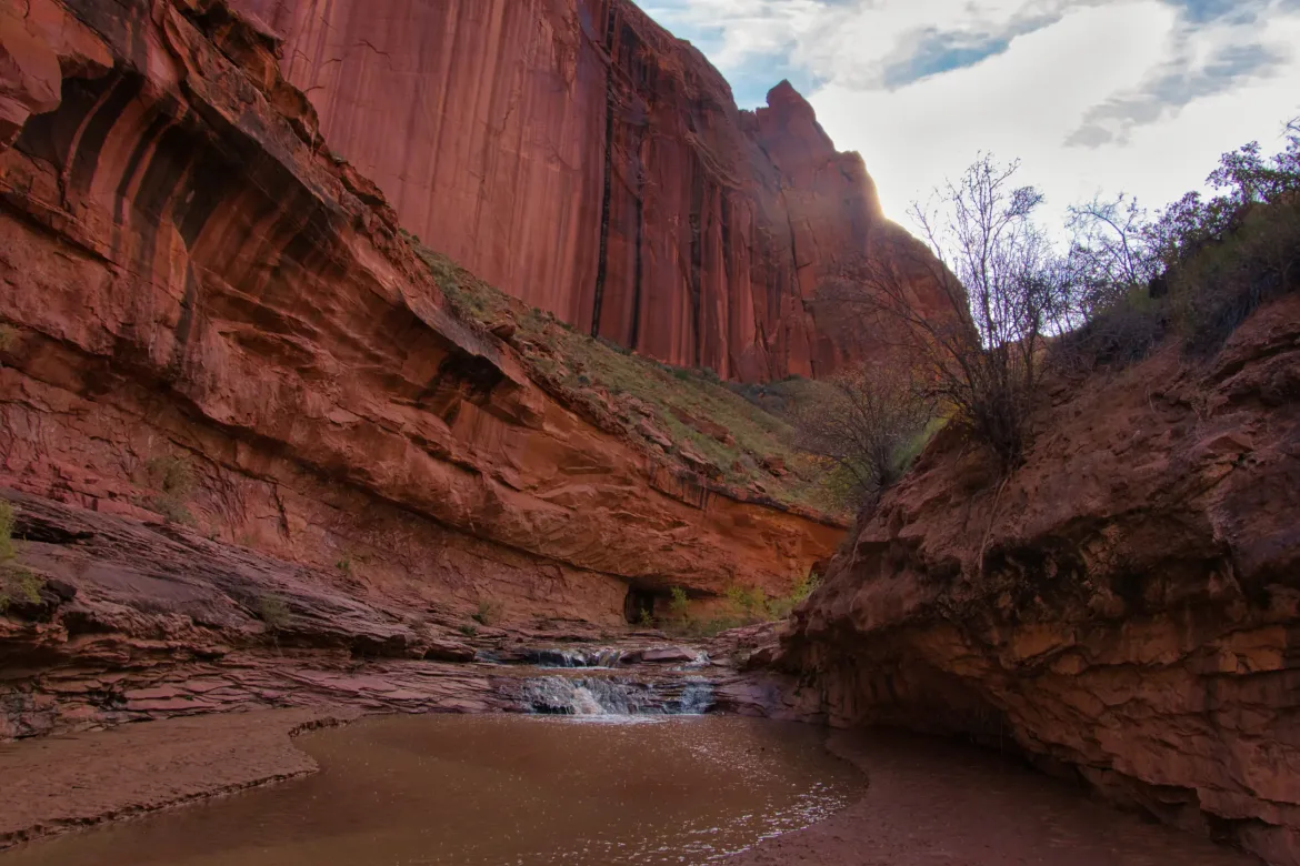
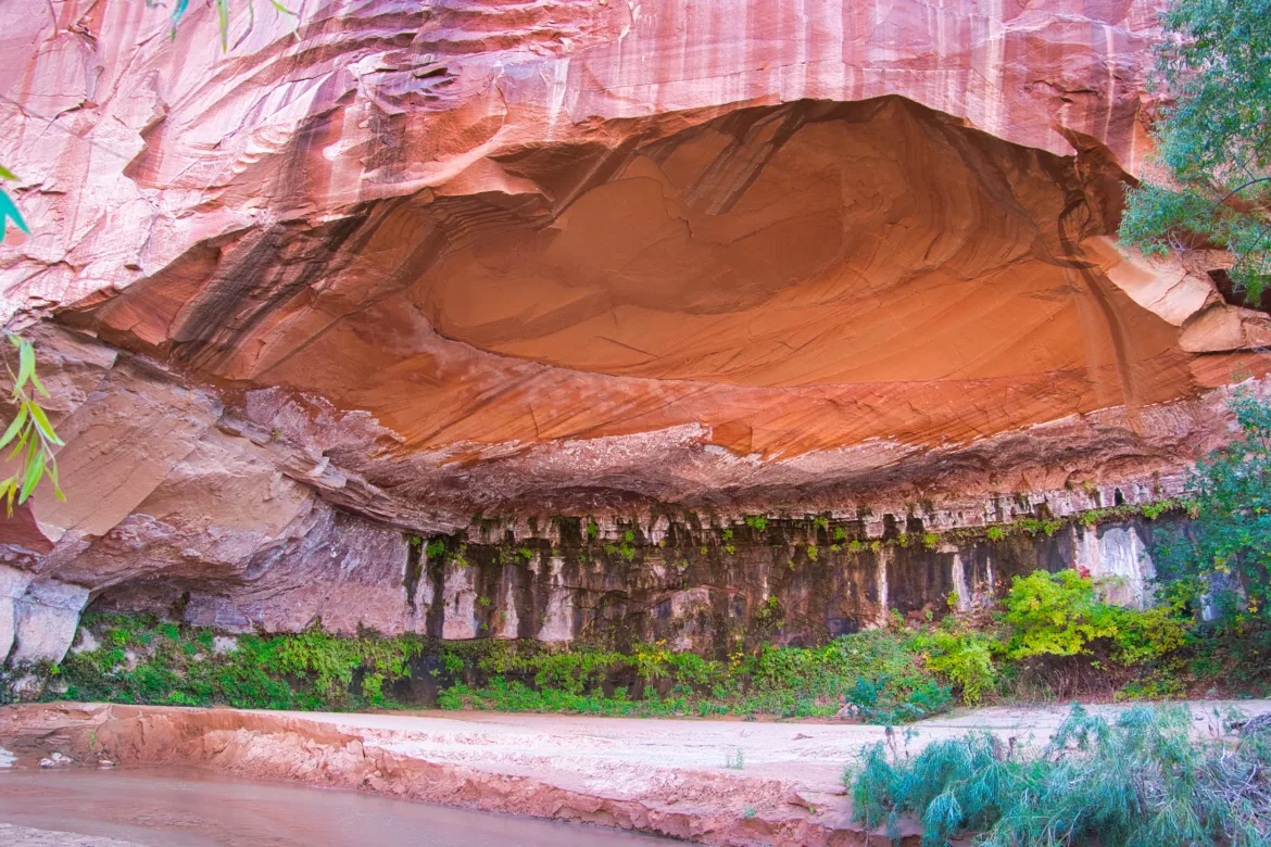
I got back down to the stream and continued to follow it. There were occasional sections up to knee deep, but I never really found the quicksand that the ranger had mentioned. It was slippery, though, and I was doing my best not to dump myself and my pack contents into the stream. Like Muley Twist, there were great undercuts in this canyon where the stream could be completely flowing under a large overhang that it had cut. I love these alcoves, showing two forces of nature fighting against each other.
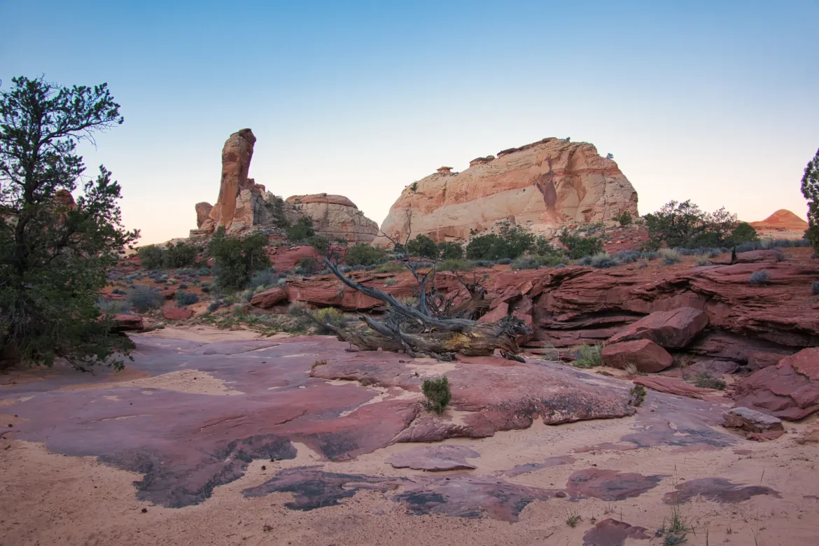
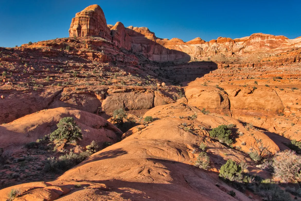
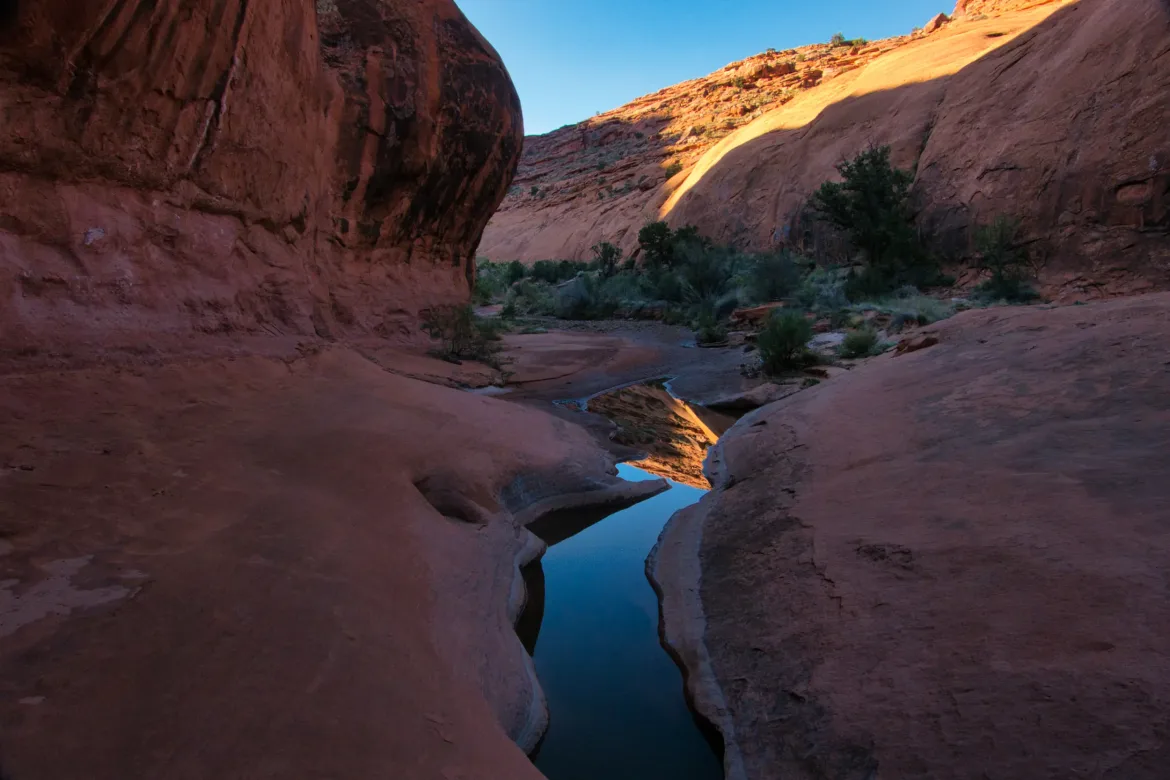
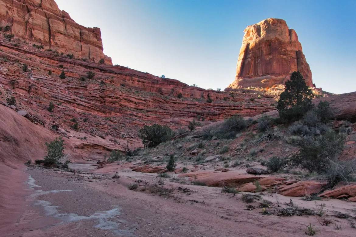
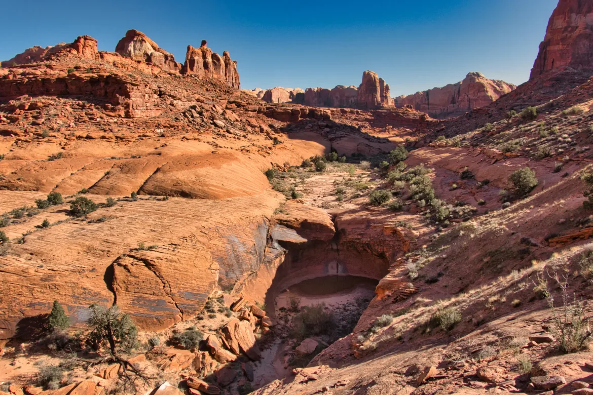
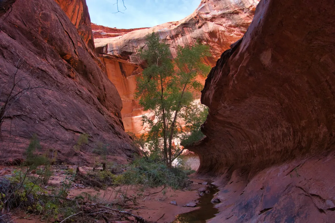
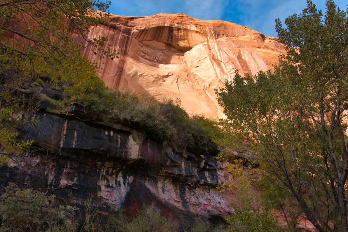
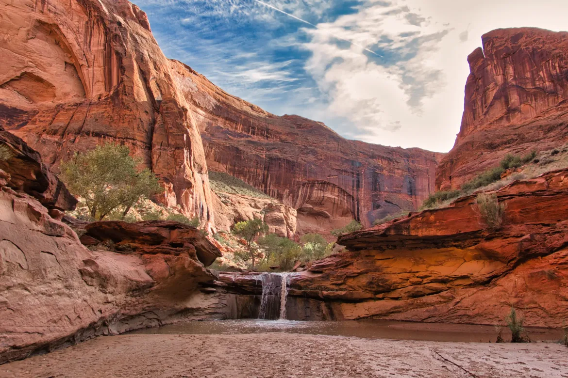
As I was approaching the end of Stephen Canyon, Stephen Arch came into view. It’s quite the beefy arch, really high up on the canyon wall and with enormous legs on it. There is a way to scramble up to the arch, but it looked like some tough scrambling, and I didn’t want to do that. I continued down Stephen Canyon and was quickly surprised to see the Escalante River in front of me. It sort of snuck up on me, which wasn’t a bad thing since I was growing tired of the wet and brushy bushwhacking. It was flowing all right, and it was really brushy along it, so I ended up having to continuously cross back and forth across the river to make downstream progress. The river was about knee-deep for the most part with moderate flow, so it wasn’t difficult to cross. I just made sure to probe ahead with my tracking poles to try to avoid the quicksand patches.
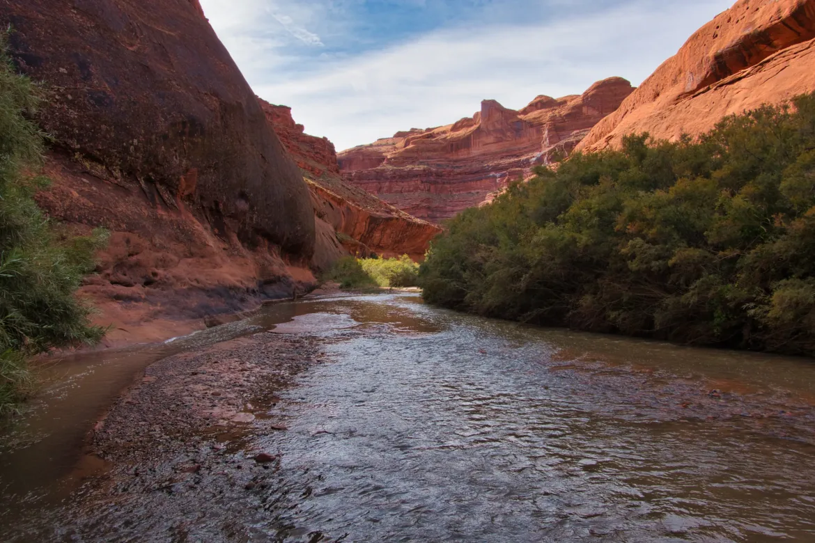
I only had to go down the Escalante River for about a mile, but in that mile, I had to cross the river about 10 times. It wasn’t really the flowing thin mud consistency the guidebook described, which was nice. Way clearer than the Dirty D. The normal Hayduke trail joins the Escalante River 25 miles upstream and goes straight down and along the river like this that entire distance, so I’m really glad that I did the alternate route down Hall’s Creek, over the Waterpocket Fold, and down Stephen Canyon even if I didn’t like some portions of Stephen Canyon. Stephen Arch came into view again since it is between Stephen Canyon and the Escalante River, and then I got to Coyote Gulch.
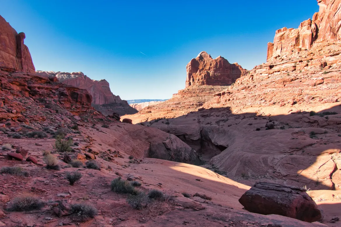
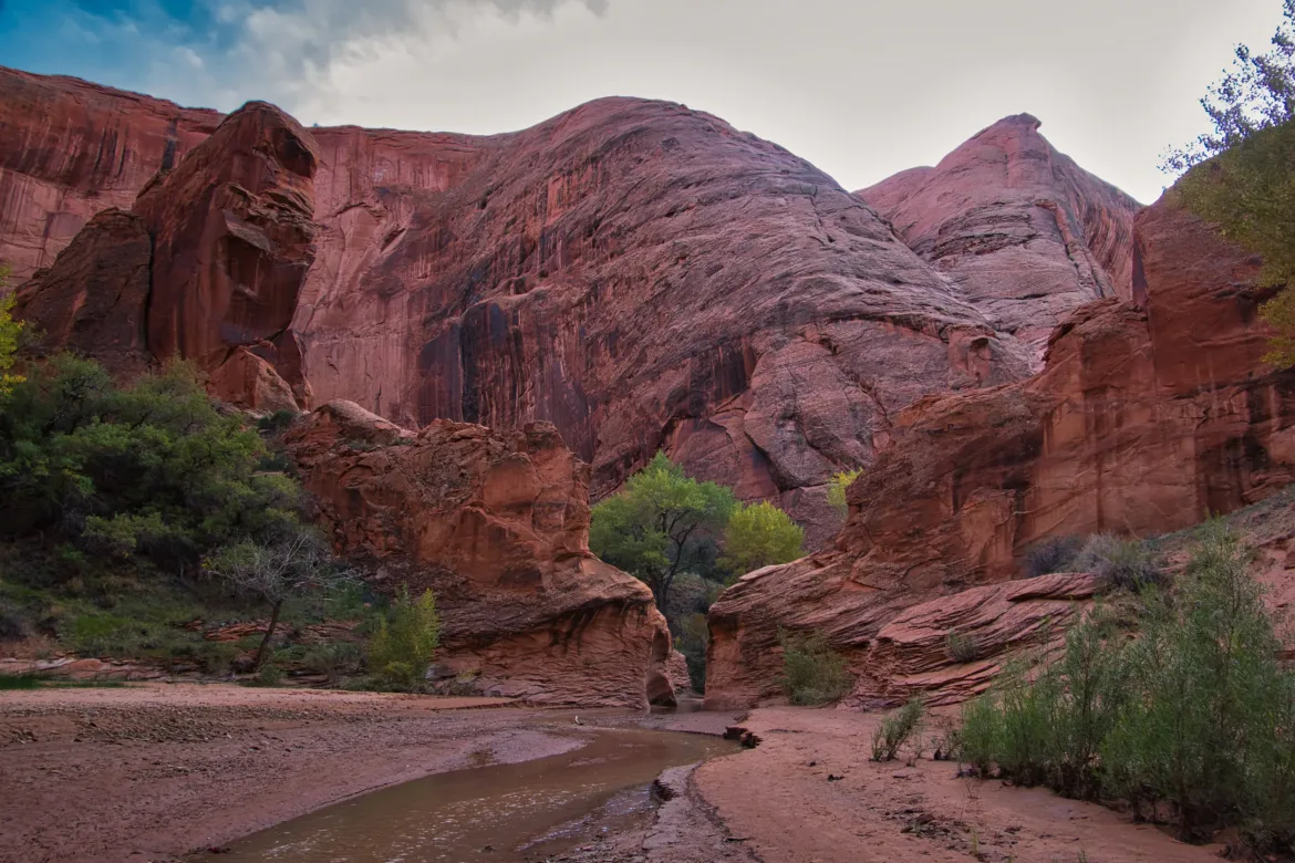
I knew that Coyote Gulch was a popular hike, so when I got there, I was expecting to see a trail. It took me a few minutes to figure out that there’s some trail, but part of the time you were just meant to walk up the stream. That wasn’t what I was expecting, and I was looking forward to drying out my feet after Stephen Canyon and the Escalante River. I didn’t really read the guide to the section ahead of time; otherwise, I probably wouldn’t have been surprised. I was a little upset realizing that I was going to have to continue on with wet feet, but my anger quickly subsided when I started to look around and see what Coyote was all about.
As I started up Coyote, I had a big fall. There was an off-camber slickrock face that had to be climbed and traversed. It was pretty steep and I got up it after a couple tries, but half-way across, I lost my traction with my wet feet and slid down the slope. It was about 10 feet and was thinking, there goes the trip figuring I would break something. However, apart from definitely feeling the impact I ended up luckily unscathed. I dusted myself off and regathered myself and was able to get across on my second try, but it was pretty slick and sketchy.
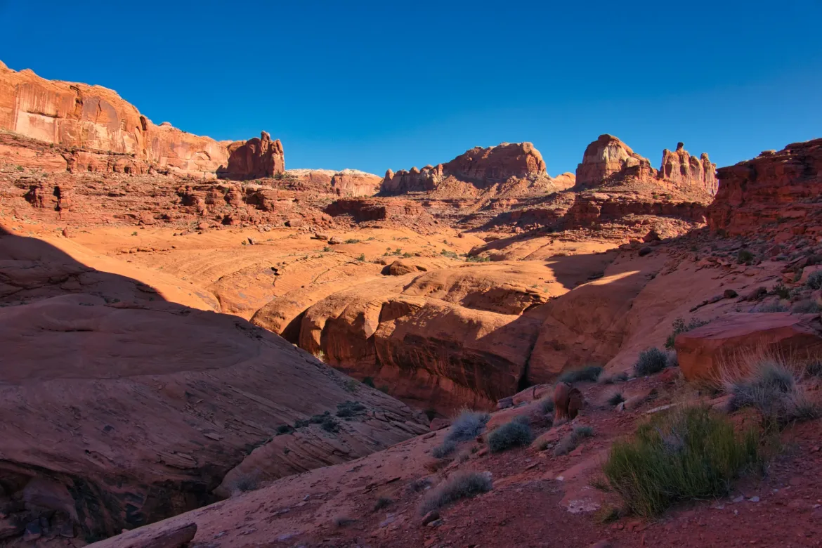
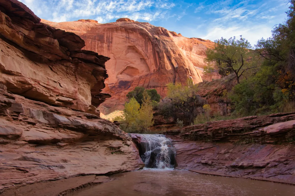
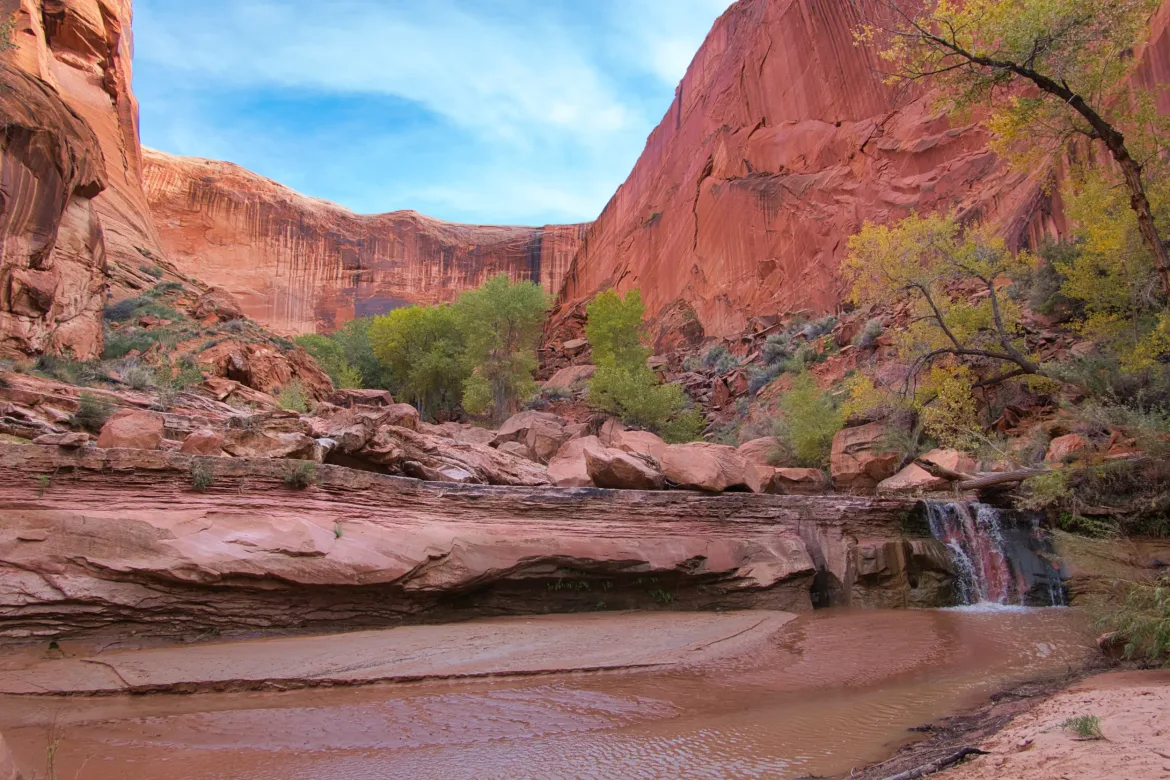
Coyote Gulch is usually wet, so it was used by Indians back in the day. There’s a few signs of them left in the gulch. There’s also actual waterfalls and weeping walls in addition to the normal canyon undercuts and alcoves. It was all really scenic, and after starting down the gulch and understanding it better, my mood was lifted, and I began to enjoy the hike even if it was wet. I could have done a lot more exploring in this area, but I was limited by time and my food supply, so I had to press through the gulch.
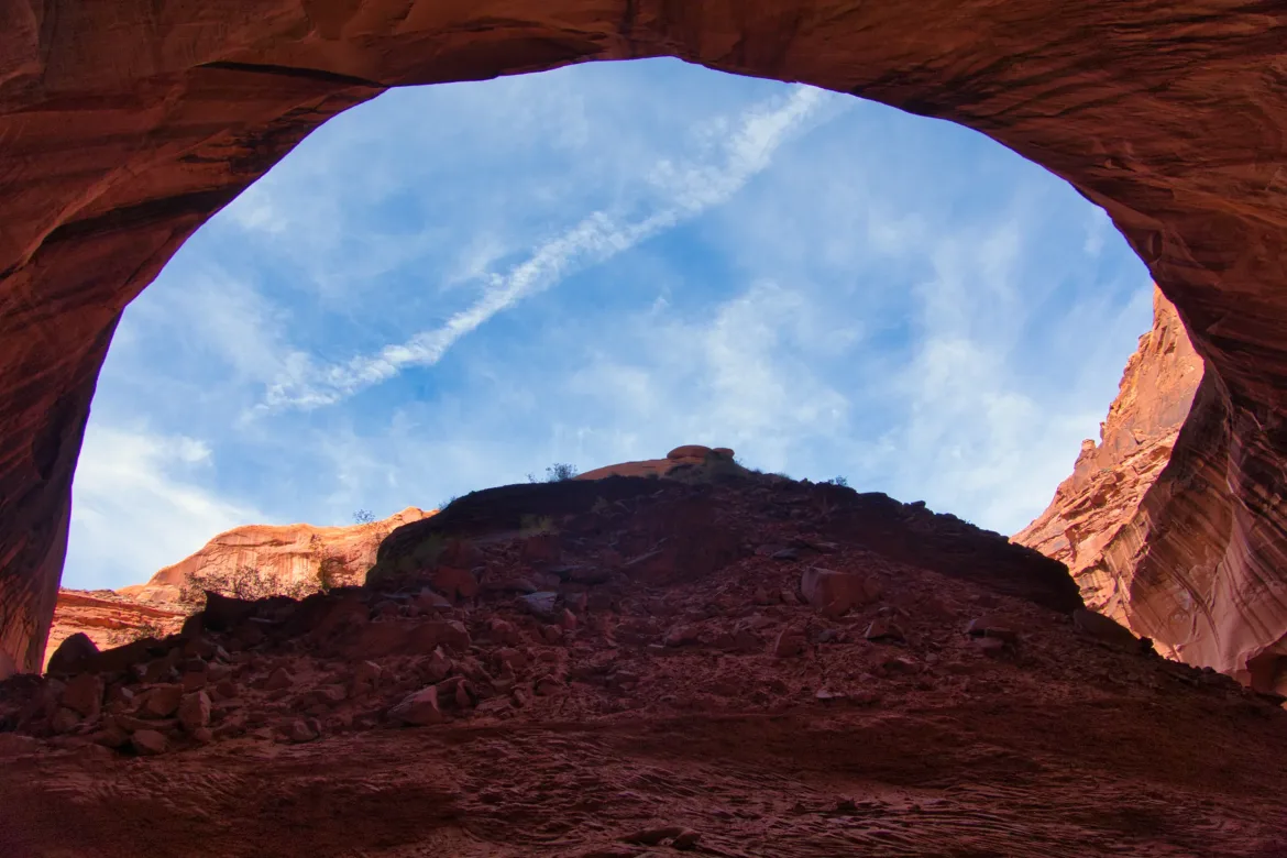
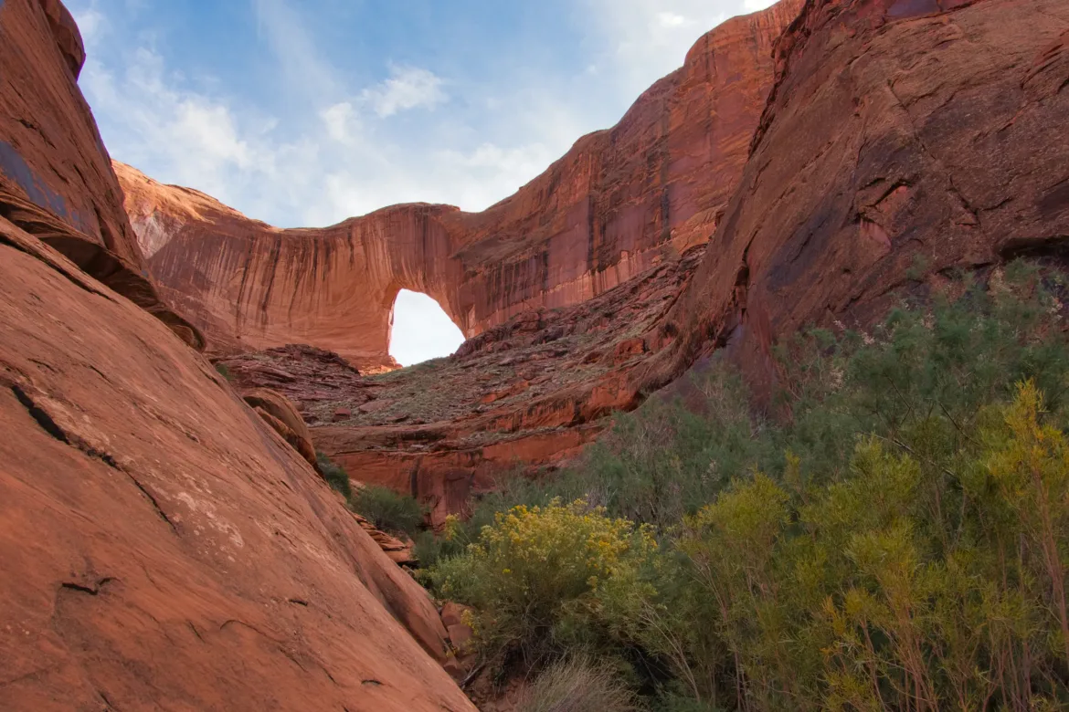
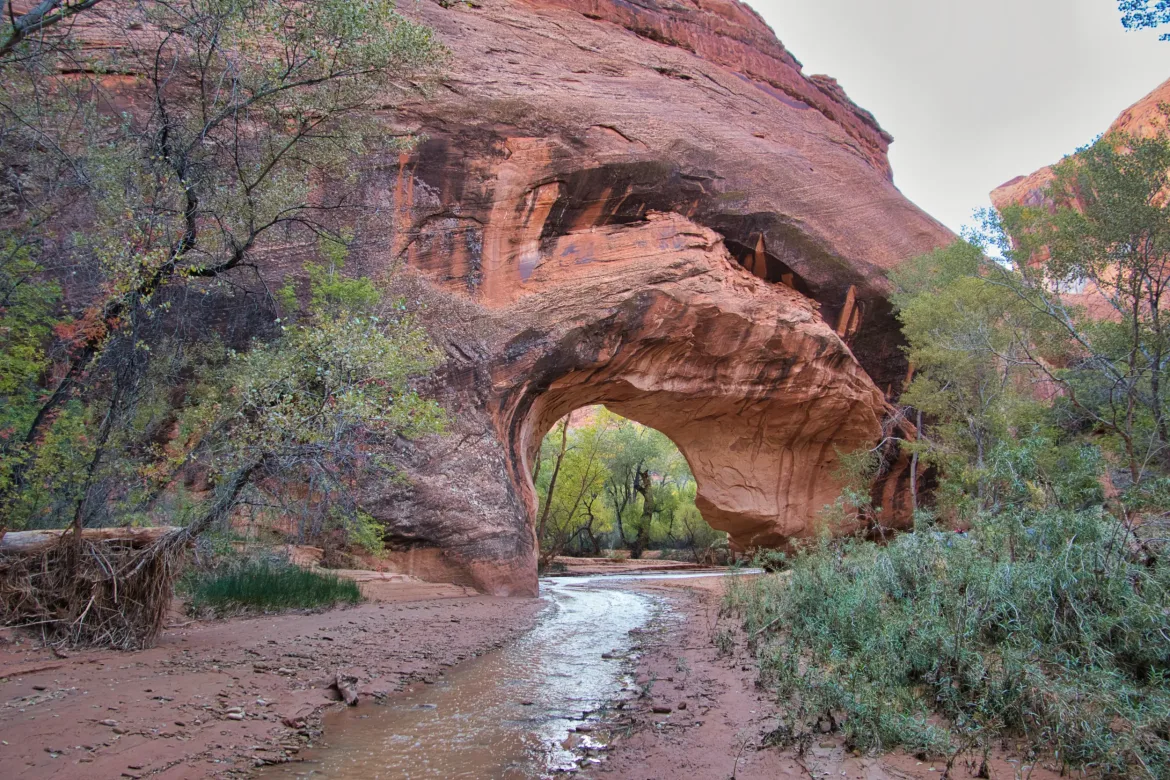
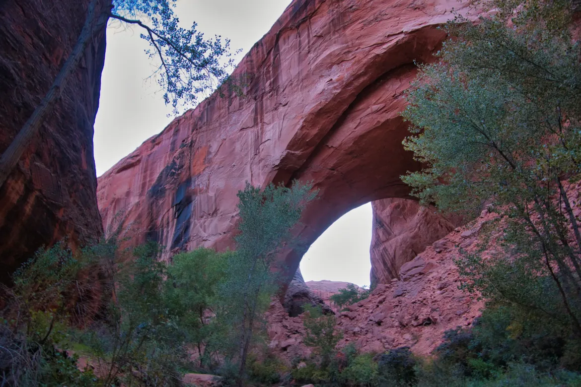
There were a couple of tremendous arches along the gulch. One was actually a natural bridge, and the stream flowed right through it. I had planned to camp there, but when I got there, the campsite was already taken by a huge group. I continued on and resolved to camp at the next arch.
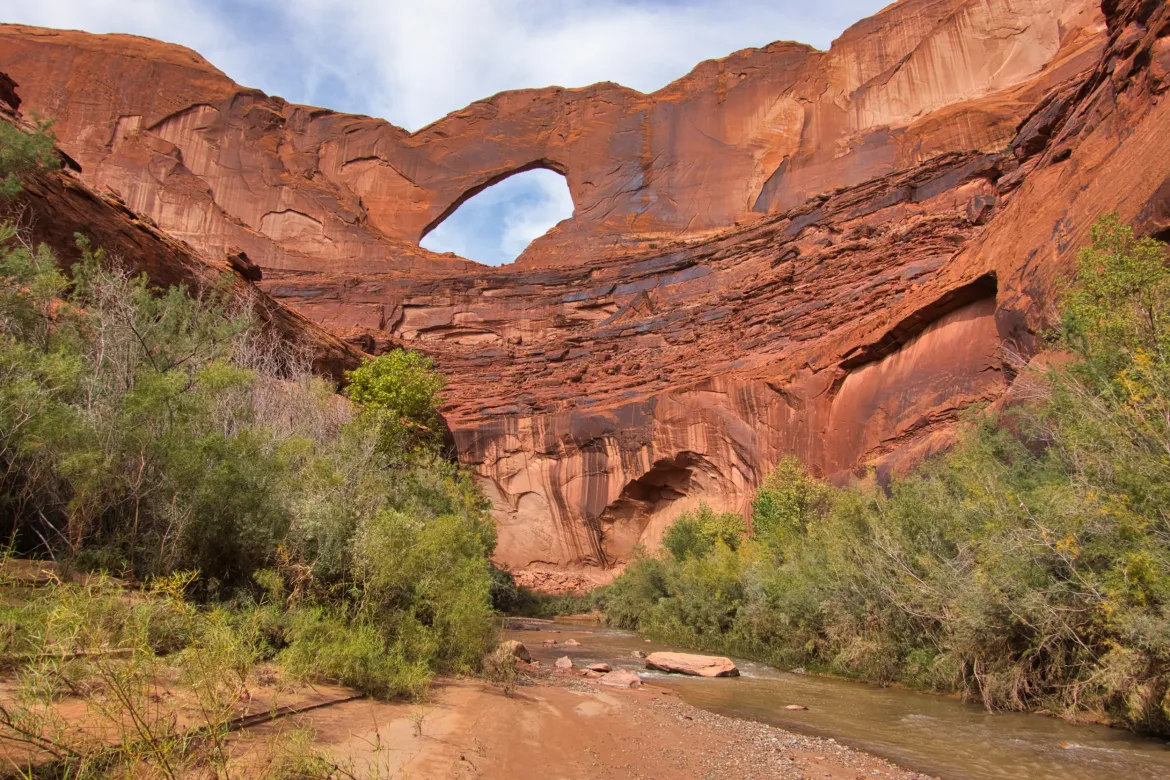
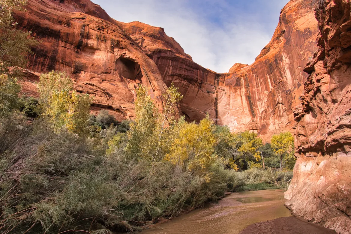
Just more of the beautiful canyon between the arches, and I ended up at Hamblin Arch, where there was a flat spot on the stream bank under a rock outcrop. An amazing spot to cowboy camp. The arch was absolutely massive and a sight to behold. There were some other people camped around the corner, but that’s all right. There’s also a weeping wall on the other side of the stream that let me get some fresh water since Coyote itself was silty. My mood was fully restored by the end of the day, and I was enjoying the gulch and all it had to offer. I can see why it’s a popular hike.