
Update 2: The PCTA has published a bypass route around the east side of Glacier Peak which allows continuous travel through on the PCT, especially considering that the Easy Fire closure of the PCT has now been lifted. I had been planning to take this route down Indian Creek and over Spider Gap, and had researched it previously. The trail will be much steeper and more overgrown than the normal PCT, and routefinding will likely be necessary at times. In addition, the Spider “Glacier” is a snow field with some reported crevasses down low that are supposed to be avoidable. This will be a demanding route, but should be doable. Don’t take the White River Trail instead of Indian Creek since that trail has been abandoned and is in worse shape than Indian Creek from the trip reports I have read. The PCT closure information is here.
Update 1: as of 8/23, the closure order for the Stehekin valley due to the Pioneer Fire has been rescinded. The PCT is still closed through the Miner’s Complex and Easy Fire areas (which could change due to rain), but it is now again possible to pass through the area without road walking. Routes are discussed on Reddit Washington Fire Alternates. I had previously mapped out their yellow route independent of the Reddit post, and it looks viable down Indian Creek (not White River) from the PCT, mile 2500.9. However, there will be significant bushwhacking, blowdowns, route finding, and glacier travel up the dead Spider Glacier, or next to it on reportedly loose rock. The trails will be very steep as well, all much different than the PCT. This will be significantly more challenging than the PCT and you will need a navigation app other than Farout such as Gaia or Caltopo. This could change again at any time, so keep checking conditions and closures.
This post is to get information out on a workable route around the Miner’s Complex, Pioneer, and Easy Fires via Darrington.
I walked this with Honeybun and it did not feel unsafe at any time, though your results may vary. It does have a couple days or so of road walking, but a fair amount of trail as well. I will describe the route heading northbound.
Important notes:
• This route worked for us, but do at your own risk.
• This involves road walking, be safe . I was not uncomfortable with the road walking.
• Watch the Ruby Fire and any associated closures. As of this writing this route is possible but that could change.
• There was cell signal around Darrington, and in the Skagit Valley up until Ross Lake
• Be mindful and courteous of the firefighters. They are doing a rough job and we want to keep them friendly to hikers.
• You will need a GPS program separate from Farout like Caltopo or Gaia. If you have Caltopo, you can open ands use this map in it. You can also export the track to your program of choice.
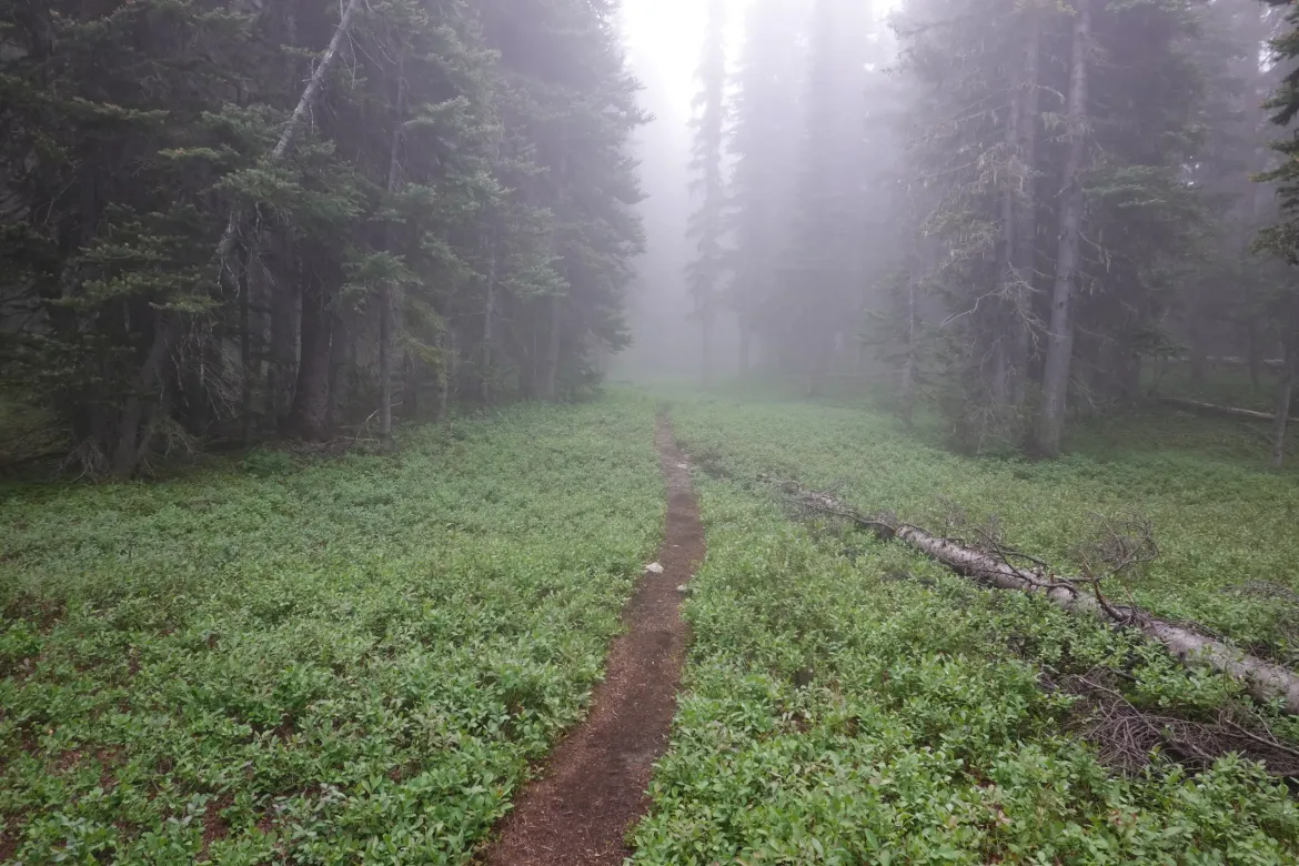
Hike through Stevens Pass and to the North Fork Sauk River Trail at mile 2505.2. Take that trail down the mountain. The grade is much steeper than the normal PCT grade, but on par with typical Washington trails. After the switchbacks down, there are a couple camping areas. The first is just at the bottom of the switchbacks, and the second At Red Creek. The trail is frequently used by climbers, so is in good condition and you will see people along it.
Note, it also appears on GPS apps that you could take the White Chuck River Trail down, but there were various reports about a washout and I didn’t have time to properly research if the trail was passable or maintained, so we stuck with the more known North Fork Saul River Trail. It sounds like the White Chuck Trail is totally unmaintained and a disaster, so I would stick with the North Fork Sauk Trail.
An easy walk out along the Sauk River to the trailhead. We passed on a Monday morning, and saw no traffic leaving the trailhead
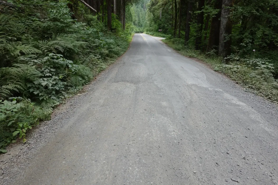
Walk the single lane gravel forest road 49 down to NF20. There was a little more traffic on NF20, but still extremely light. Eventually the road becomes paved.
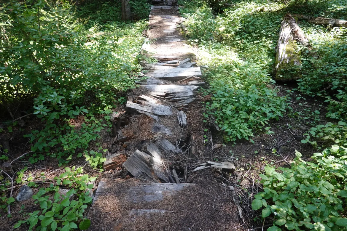
The Old Sauk Trail is easy to spot nearing Darrington, and provides a great respite to the paved road. It goes through typical Washington temperate rainforest with moss growing on everything, and is really a worthwhile and more pleasant route than taking the road through. It is about the same distance as the road.
After that, it is just a short hop into Darrington. There is an IGA which is a full grocery store suitable for a full resupply. Next to the IGA is a motel that we paid $107 on a weeknight for a room with 2 beds. There is laundry for $5. No detergent, but the owner was friendly and gave us a pod. This is the only motel in Darrington.
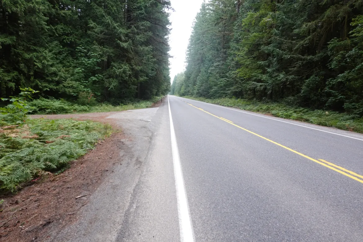
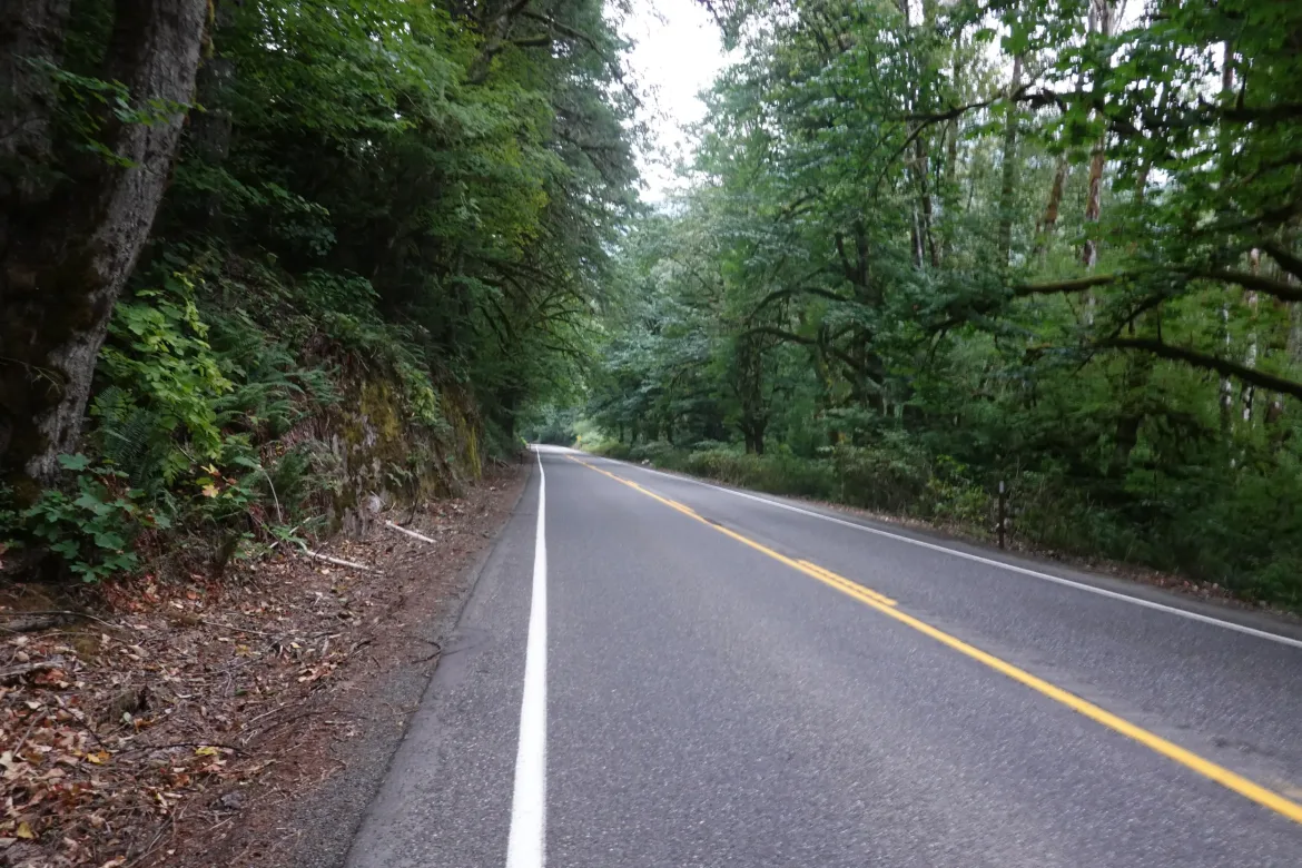
Continue north from Darrington on 530. There is some traffic on this road and a fair number of logging trucks as there is a mill in Darrington. However, the shoulders are mostly wide and vehicles a few minutes apart which made it pretty good and safe for a road walk. There are some tighter bendy sections towards the end with guard rail, but we never saw traffic on these areas. Keep alert and you should be fine. It was easy enough to hear cars approaching from a distance since there was little traffic.
There are some potential alternates to 530 in this area, but we opted not to take them. You may be able to turn on Christian Camp Road and take smaller roads and forest road through to the next bridge over the Sauk River, but we were not sure if this went through on passable roads, or if the forest roads were private property. Given the low traffic on 530, we opted to just continue on that road and avoid any backtracking.
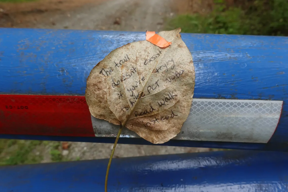
There are a series of forest roads that appear to cut the corner between 530 and Rockport Cascade Road. When we got to the turnoff for this, there was a note left by a thru-hiker on the gate that the route did not actually go through. We took that at face value and skipped the potential shortcut.
We took 530 to Rockport Cascade Road. There was almost no traffic on Rockport Cascade Road, and it was very easy and safe walking.
There is camping at Cascade Wagon Road Campground for $10-15 depending where you setup just outside of Marblemount.
Marblemount has a decent convenience store you could get a partial resupply from. Or some questionable sandwiches and beer. There is also a ranger station in Marblemount if you need to get a permit for camping in North Cascades or Ross Lake NRA. Both require permits for overnight stays, but we camped outside of them.
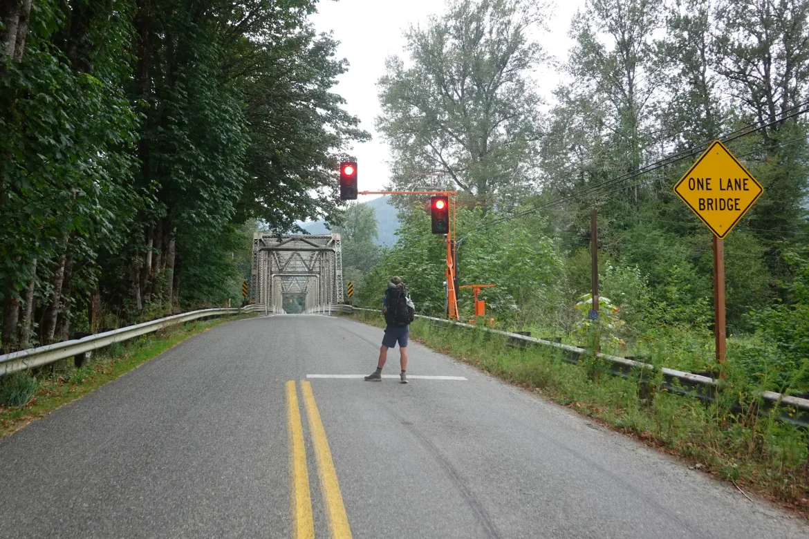
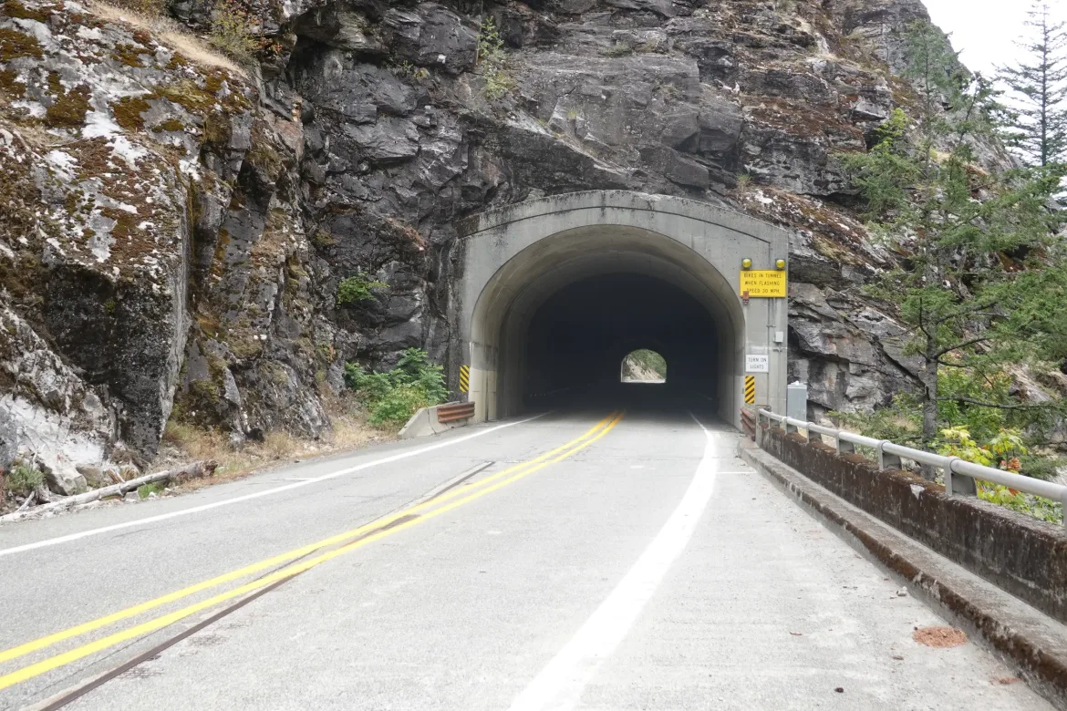
Turn right on to highway WA-20. Since the road is closed near Rainy Pass due to the Easy Fires, there was not much traffic on it.
The restricted camping area starts at Bacon Creek Road. There is a disused parking lot on the left just before Bacon Creek, and flat are below the bridge over Bacon Creek. You may also be able to find something off the road.
Continuing on WA-20, reach Newhalem which has a General Store with light resupply and good prepared foods. There is a large firefighter encampment here.
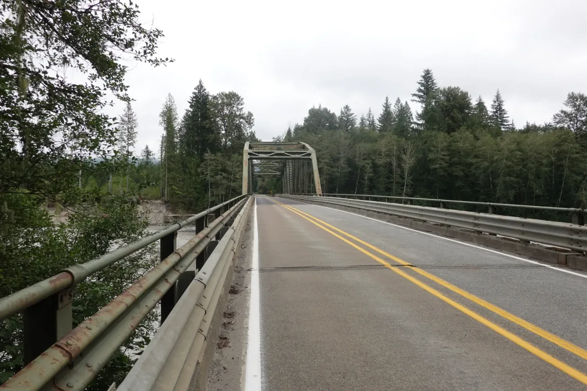
We were planning to turn off WA-20 at Diablo Street, but the road was closed, so we continued on To Diablo Dam Road which was open and made for a nice walk across the dam.
Continue right down the Diablo Dam Road until you get to the Diablo Lake trail and the end of road walks.
Take the trail over the suspension bridge, and go right on the road on the other side. See Ross Dam if you’d like, and continue down the road until the Happy Panther Trail which turns off before the road goes down to the lake for the ferry over to Ross Lake Resort. It sounds like there are some hiker services over there and Pacific Northwest Trail hikers can stop there, but we didn’t check it out as we didn’t need anything.
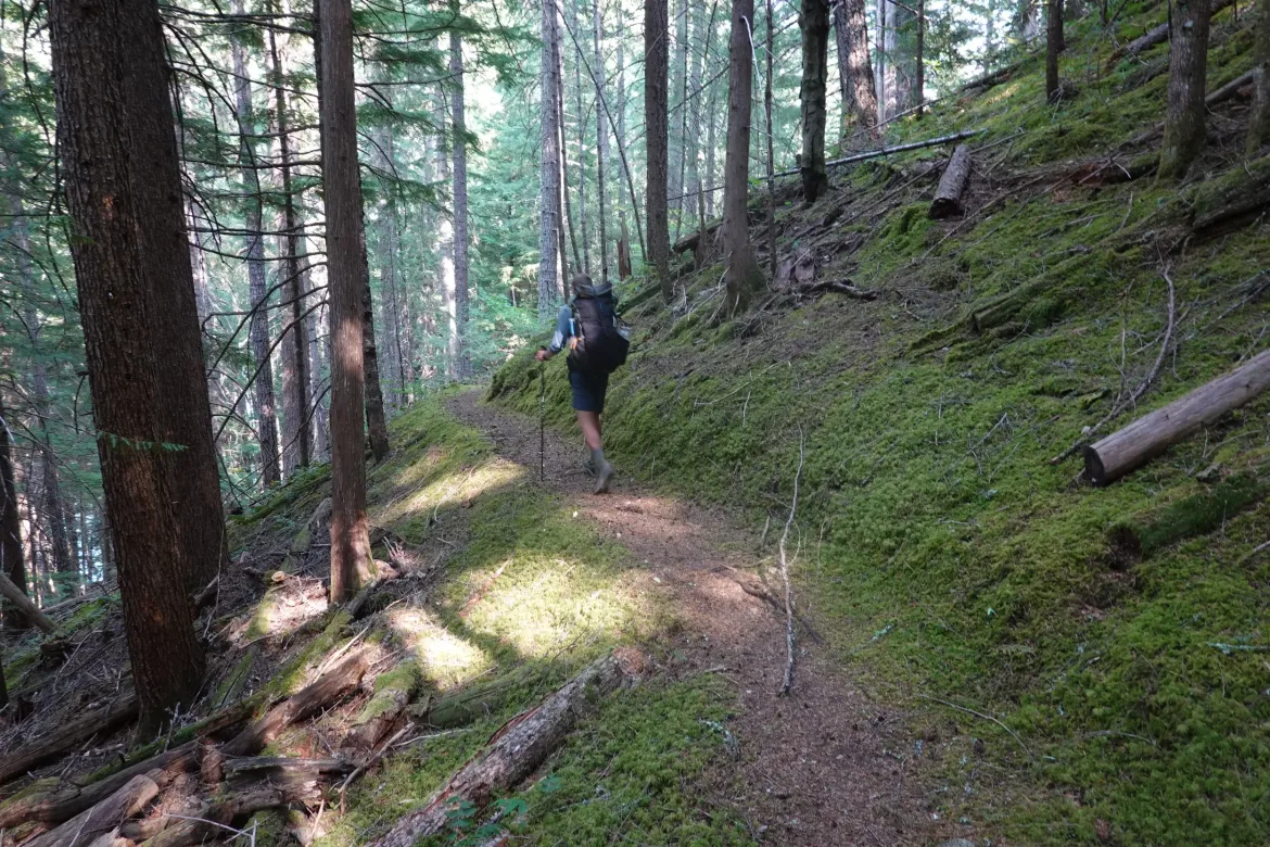
Take the easy and beautiful Happy Panther Trail for a few miles To the East Bank Trailhead which has a privy and trash can.
You have two options here. You basically have to get to Devil’s Pass which can be reached by going clockwise or counterclockwise around Jack Mountain. Both routes have 6-7,000 feet of climbing, but clockwise is 5 miles longer, has a 5,000 foot continuous climb, and stays in Ross Lake NRA longer, likely requiring a permit. Thus, we went counterclockwise up the Jackita Ridge Trail.
Here you can continue on the Ruby Creek Trail which is fine but slightly overgrown in places, or you could take WA-20 To the Canyon Creek Trailhead if WA-20 is still open. I’d take the trail to stay out of firefighters way.
There is a section of near vertical climbing over a big blowdown but possibly if you take your time. Then it is steeply up the Jackita Ridge Trail. There is camping at Canyon Creek at the bottom, and after you get to the top of the climb. Lots of water near and across the top.
The Jackita Ridge trail is narrower and less used than the PCT, but it is still a popular route in the area so it is plenty passable. There are some steeper ups and downs, but should not be challenging for a PCT hiker.
At Devils Pass, continue on the Pacific Northwest Trail out the Devil’s Ridge Trail. This trail is similar in condition to Jackita Ridge. Allow more time for both trails. After crossing Sky Pilot Pass, descend to Holman Pass and rejoin the PCT at mile 2638.2, 133 trail miles since you left it. Our route was 117 miles, so slightly shorter.