
Start: Etna Summit
Finish: Shackleford Trail
Daily Mileage: 17.9
PCT Mile: 1618.7
Though we got in late, we were awake early since our bodies were so used to it for the past few months, and Vicki also cooked us breakfast before we hit the long road to Etna. Though we were covering only 56 miles of trail, it was at least a couple hours to get from Seiad Valley to Etna Summit since there were big mountains in the way. We had been prepared to hitch, but it was amazing that Vicki volunteered to drive us the entire way, and it made it so easy since we were already dealing with challenging logistics to complete this section.
We arrived at the trailhead and said our goodbyes. A mule team was just preparing to set out on the trail, so we hurried onto the trail to avoid disrupt them passing later on. I did my habitual taps on my pack to make sure my hipbelt pockets were zipped and water bottles present, and for the first time in forever, my water bottles were not there!
Vicki had already taken off, but we went back to check that they didn’t happen to somehow be in the parking lot. They were not, and I must have left them at Vicki’s place after filling them. First time of the trip, and at a time when we were hiking a high ridge where I didn’t want to drink any of the few water sources due to the recent use of fire retardants to help control the Shelly Fire.
There was a hiker at the trailhead waiting for a ride into town, so I asked if she had any leftover water which she gave me. It was a liter and a half and I had been planning to carry more to clear the burn area, but it was what was available, so I just had to make due.
We took off for the second time down well cleared trail that probably had a lot of recent traffic from fighting the fire. This was the start of the original fire closure, but we hiked for a surprisingly long time through good forest.
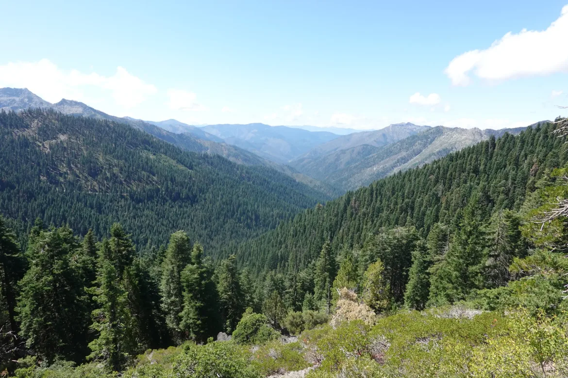
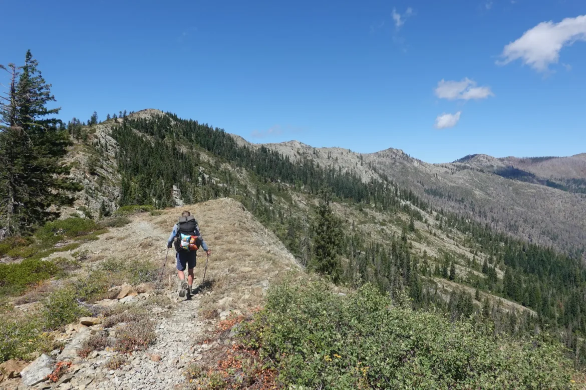
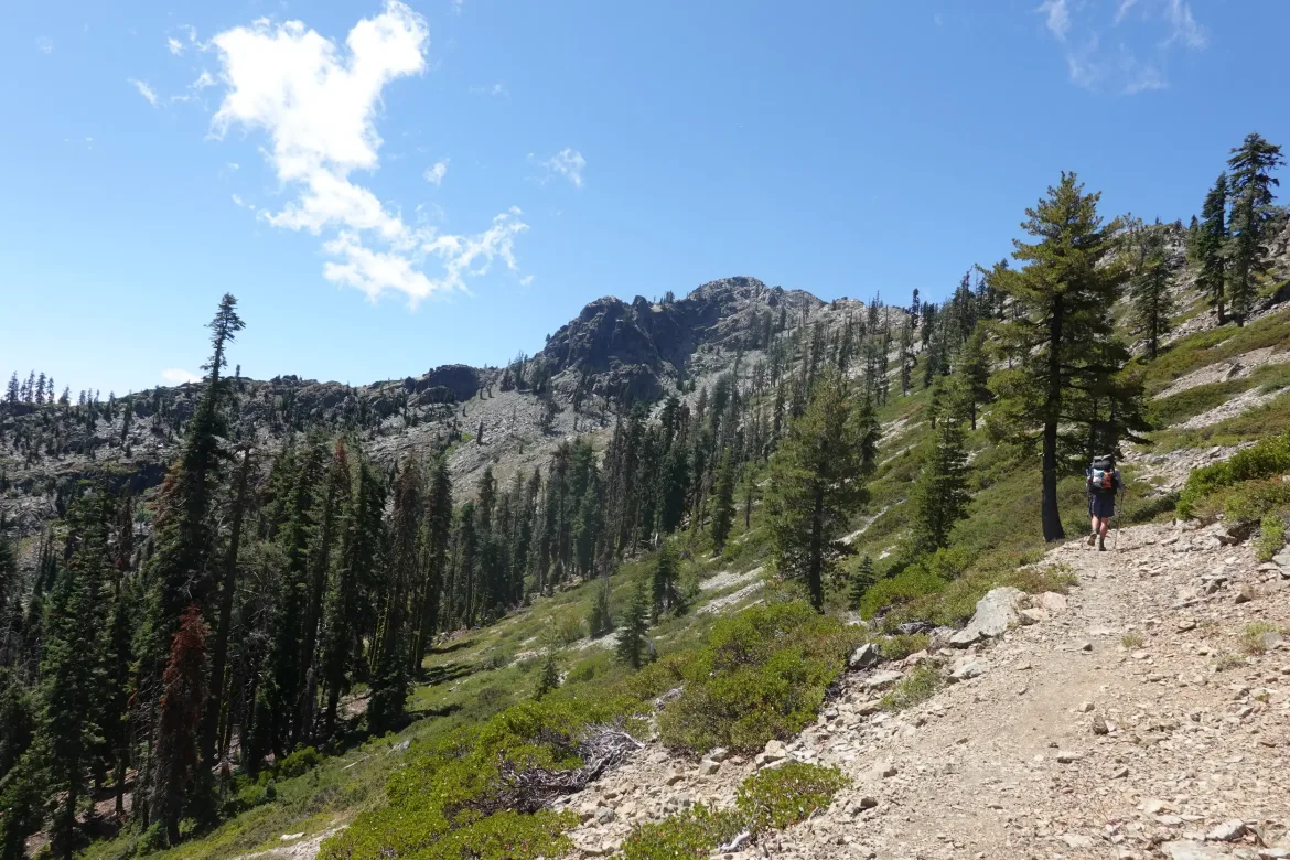
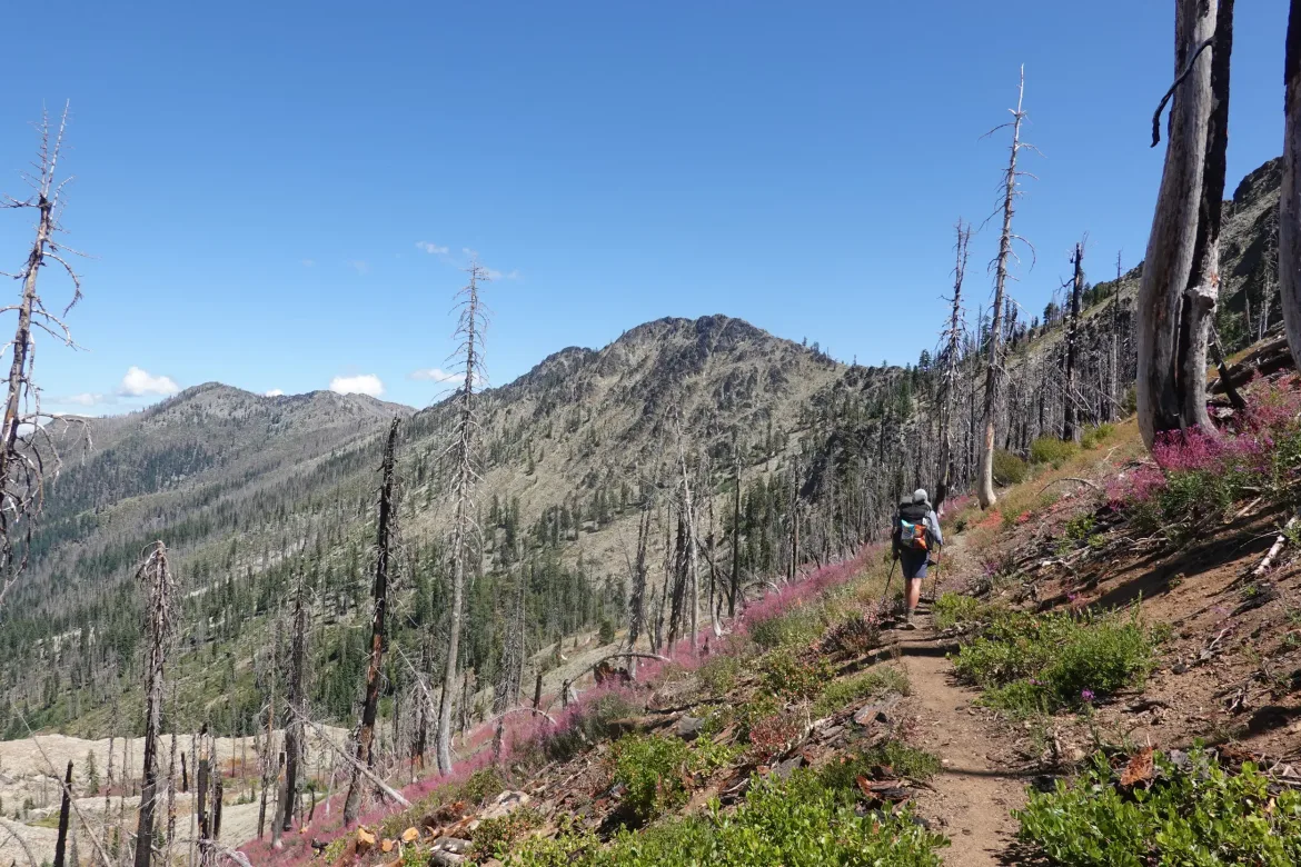
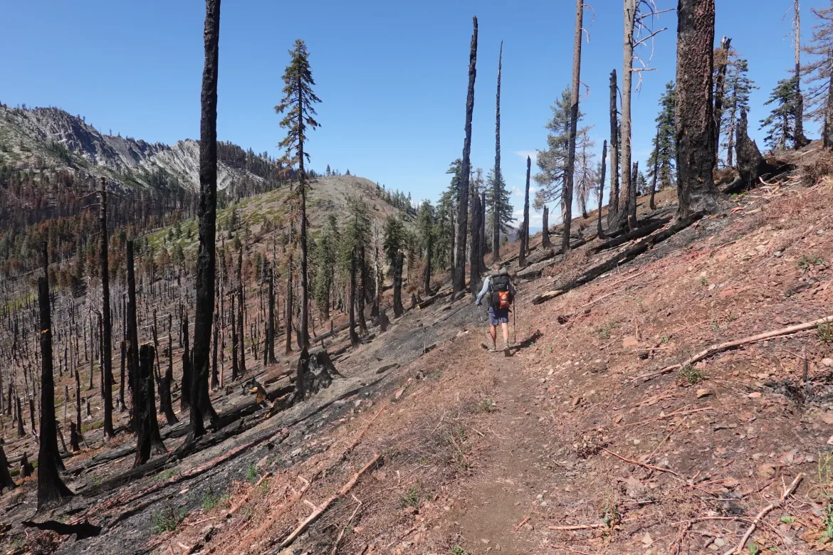
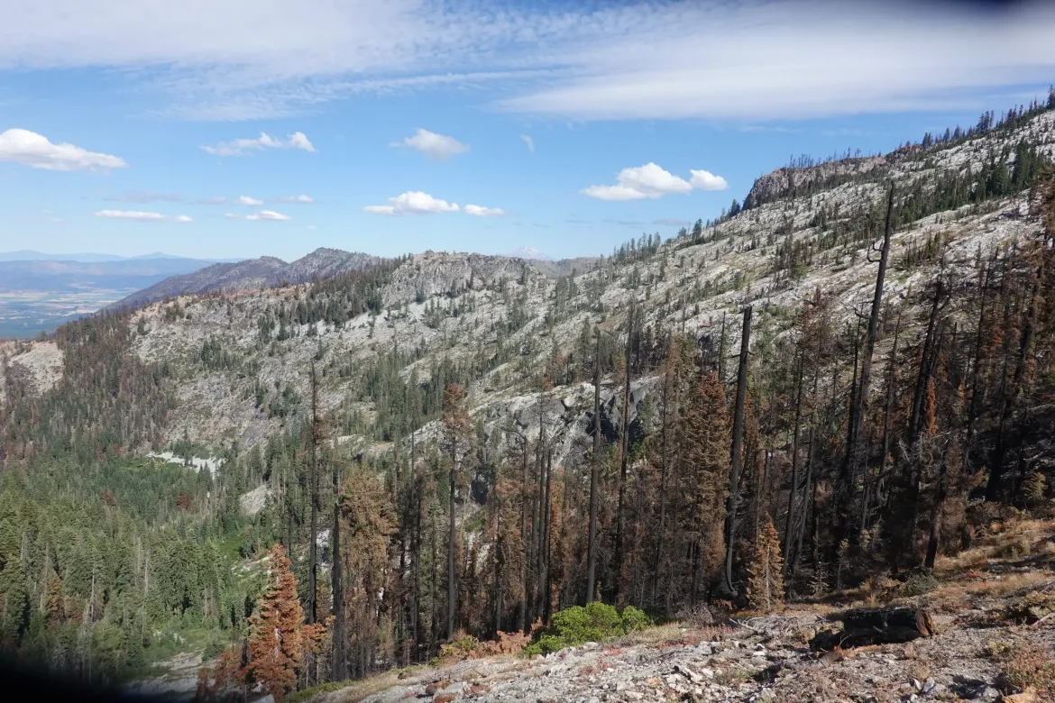
The trail definitely has a different feel to it, we were back to the big, prominent California ridges that had more of a desert feel to it than the Oregon and Washington trail we had been traveling more recently. True to form though, the trail stuck to the high ridge, just touching numerous saddles along the way, not climbing or descending more than necessary, as the PCT always does.
We passed the mule team and grabbed lunch on the ridge, hoping that my 2 day old grocery store turkey sandwich was still good. So many preservatives that it was probably fine.
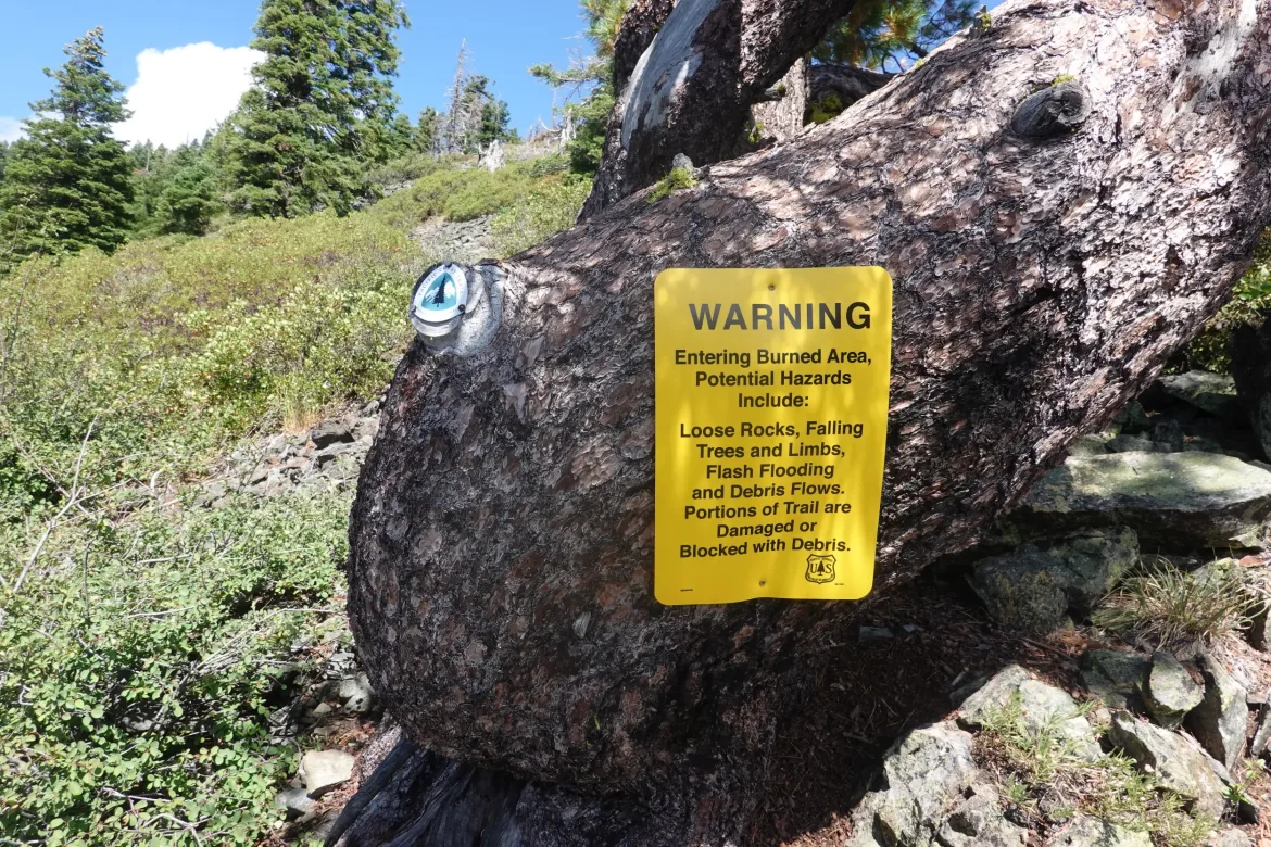
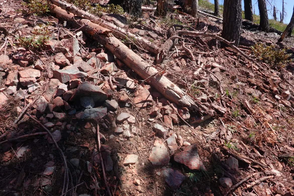
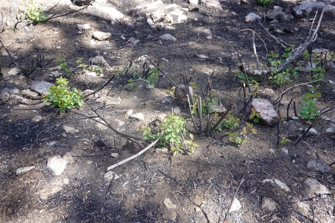
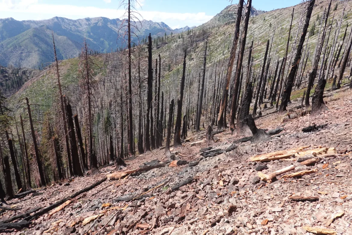
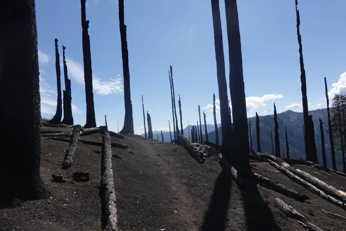
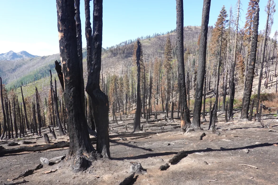
After way more forest than I was expecting, we got to the edge of the Shelly Fire burn area. There were some leftover firefighting supplies and burned trees and strips of red fire retardant that had been laid down by airplanes. Though I would have rather been passing through forest, to was quite interesting to see the fresh burn. Some areas were scorched earth with powdered soil free of any nutrients, part was just quickly burned with brown needles on the trees and the skeletons of bushes on the ground, and parts the fire had just completely skipped over for no apparent reason. The entire area wasn’t burned like the maps would suggest.
However, the most amazing thing I saw was some fresh regrowth in the lesser burned areas. It is currently the dry season with very little rain, but in the areas that weren’t scorched earth, some of the bushes had already sprouted new growth from their existing rootstock that hadn’t been killed. Some was a few inches tall already, and I was not at all expecting to see something like that when this area was literally burning less than a month ago. Nature really has a way of persevering!
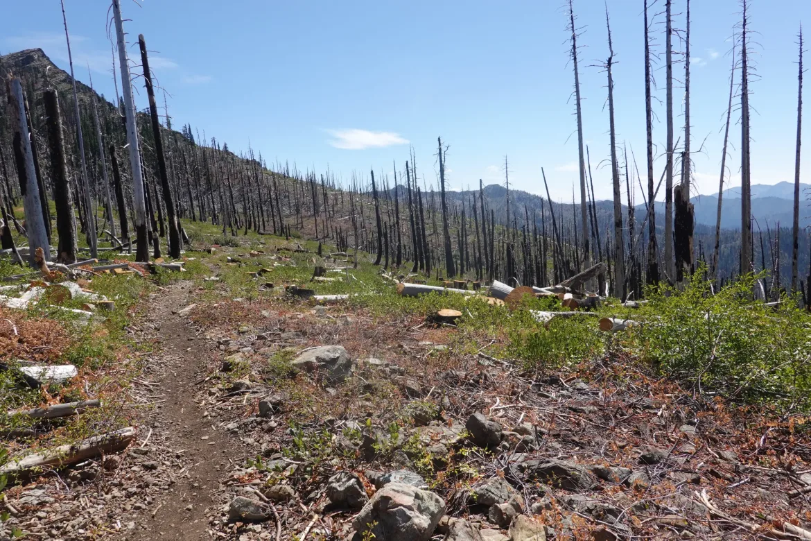
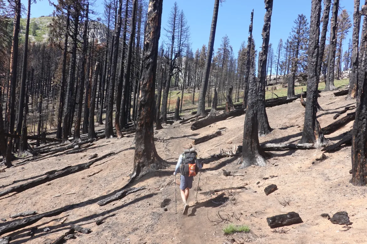
The trail through the burn area was completely cleared with fresh cuts on newly fallen trees. A work party had apparently just gone through after the fire and already cleaned things up to reopen the trail for the hikers, amazing! I had wondered if this section of trail would still be something no one is doing, but there was normal SOBO traffic through it, and it was quite refreshing to see the trail rebound so quickly.
I was not drinking as much water as I would have liked due to my diminished supply with my forgotten water bottles. I had considered getting water from a stream in the middle of the burn area after we hadn’t seen the fire retardant for a while, but Honeybun gave me some extra water he was carrying instead. We didn’t want to get any water that could have touched the fire retardant upstream since some formulations of that stuff has forever chemicals and can be cancer causing. No need to risk that if it can be avoided.
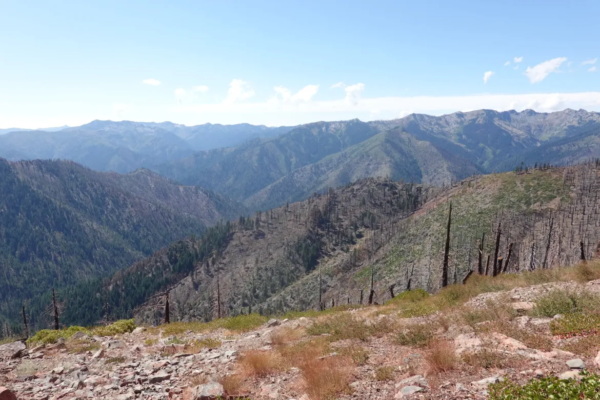
The burn area passed much more quickly than I was expecting, and soon we were back on the partially forested ridge again. We got to some water that seemed clear enough of the burn area with no signs of fire retardants in the area for a while, so we filled up and I was finally able to drink my fill. It was a cooler day so I didn’t need as much water, but I don’t like to feel limited on what I can drink, and I know I was still getting a little dehydrated. However, I knew I could make it work had not die, so that’s all that matters.
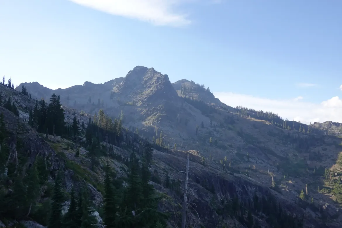
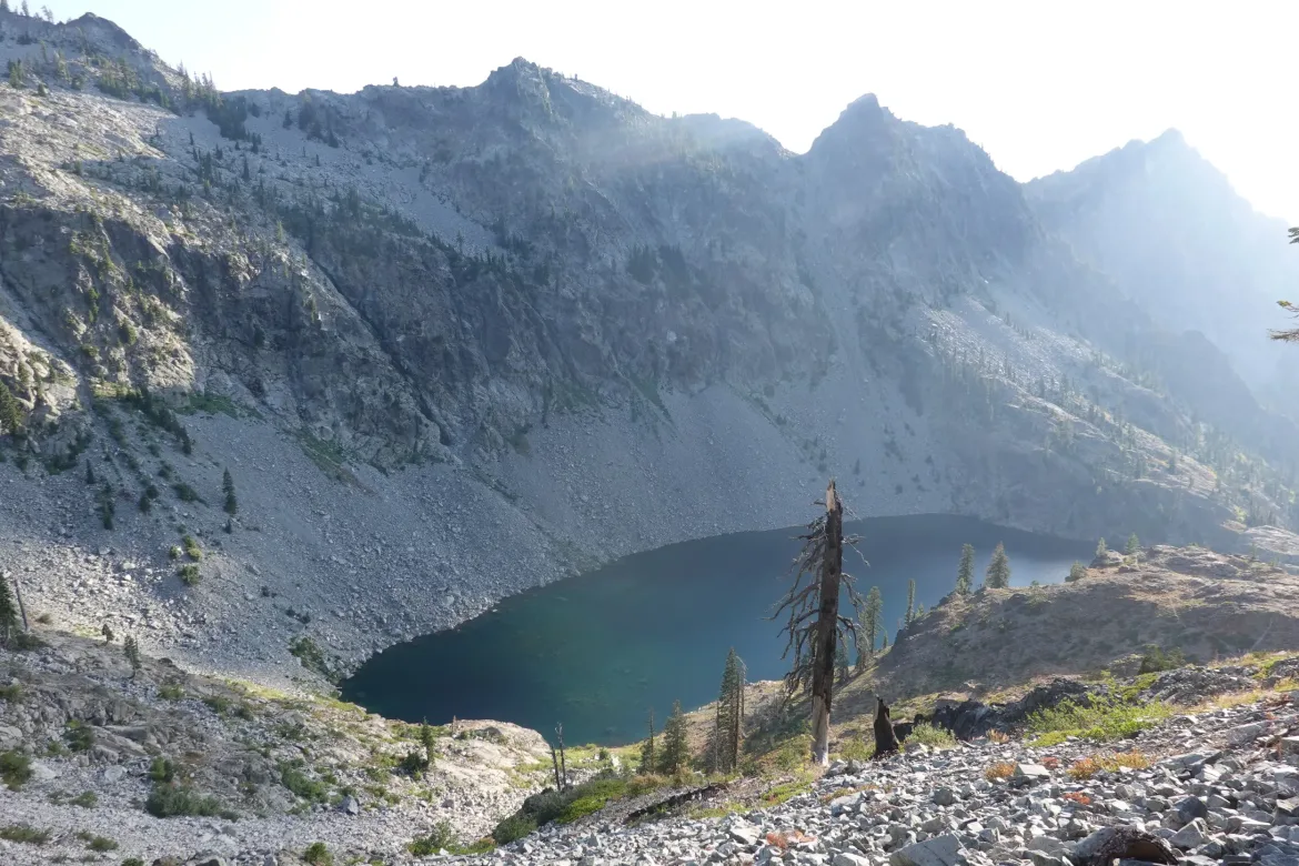
Then it was just a hop, skip, and jump until where we camped. We crossed another pass and stayed mostly above treeline which was nice on the ridge. Passed the beautiful but curiously named Man Eaten Lake. Some last minute climbing, and we grabbed the first acceptable dry camp on a saddle. We reached out goal for the day.
We set out to eat dinner together as normal, but clouds quickly rolled in, and soon they were blowing directly past us with a chill in the air. We escaped to our tents to avoid the damp and cold since we could, assuming it would be a wet night.