
Start: Bacon Creek Road
Finish: McMillan Park
Daily Mileage: 35.3
PCT Mile: off trail 2505.2
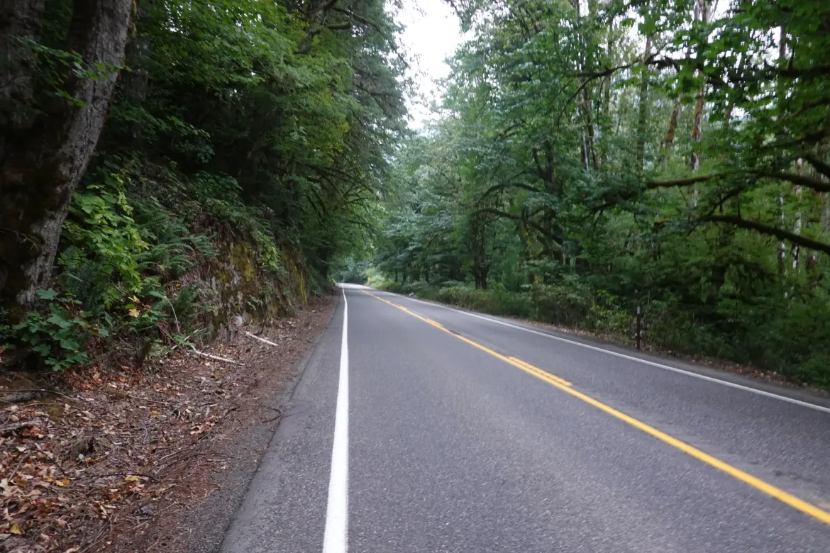
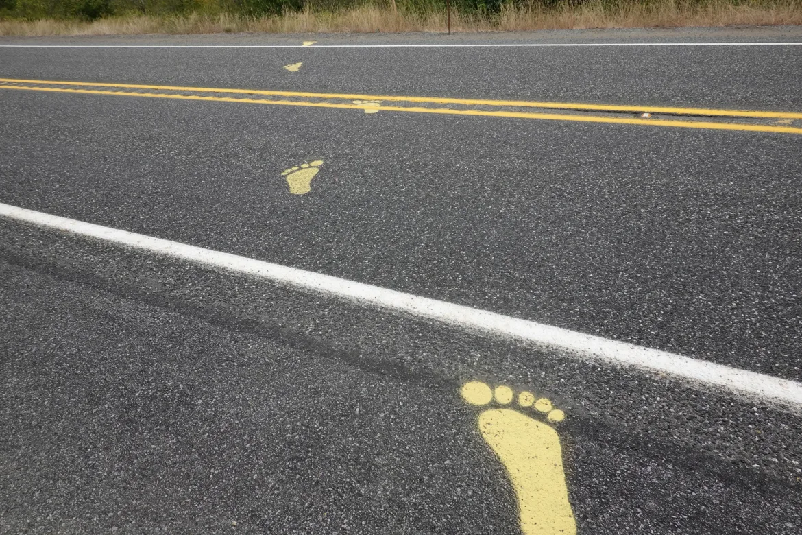
A quiet night despite our proximity to the road. Little traffic overnight, and we were up early as usual to get some miles in and through the last bit of road walk in case traffic picked up later in the day.
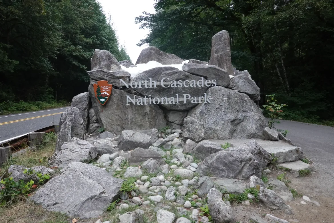
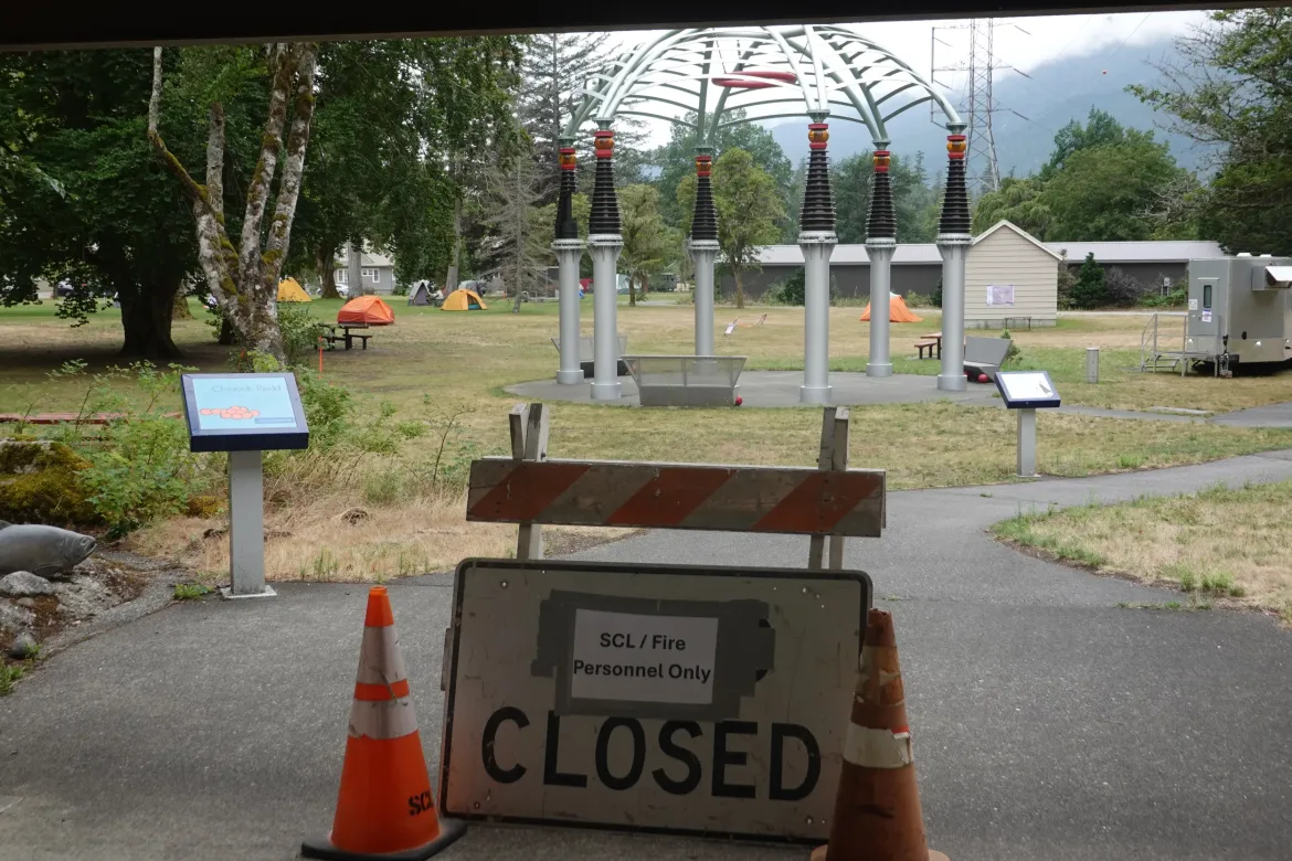
A quick, easy, and uneventful 10 miles into Newhalem which appeared to be a campground, cabins, and facilities for the nearby dams run by Seattle Public Light. However, all of the facilities appeared taken over by firefighters to support the nearby Ruby and Easy Fires. There were many firefighter tents and all of the temporary facilities to support these heroes. We walked quietly by to stay out of their way and let them get any sleep they could in case some were back shift.
Though most of the area was closed, a visitor center and general store were open so we could get some more “real” food instead of eating our tired hiking food. Though it meant carrying some of our food unnecessarily, it was still worth it to me to have some better tasting and different food. A firefighter even offered us his food which was too “healthy” for his liking.
Water has been a bit challenging on this road walk with sources large and coming in at low elevation from civilized areas; typically not what I like to get water from. However, these couple stores we have gone by allowed us to refill our bottles without risking collecting it ourselves.
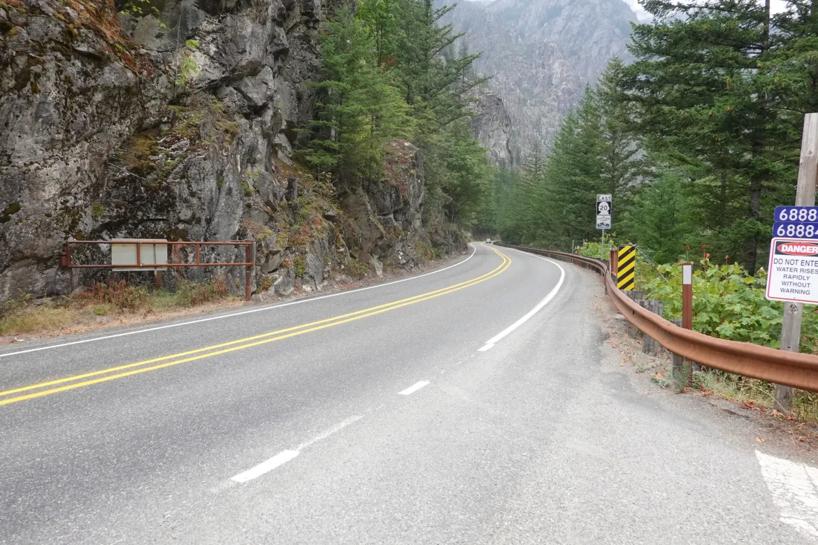
Then we only had another 5 miles to polish off our road walking and get back on actual trail which I was looking forward to. However, at the visitor’s center, I had noticed a couple tunnels indicated for the road ahead which weren’t shown on my map. Not knowing how those would go, we booked it on to get through them while the traffic was still light.
The road got a little tighter in places and I had to step off the road a couple times to maintain safe clearance to passing traffic, but overall traffic remained light and I did not feel in danger at any time.
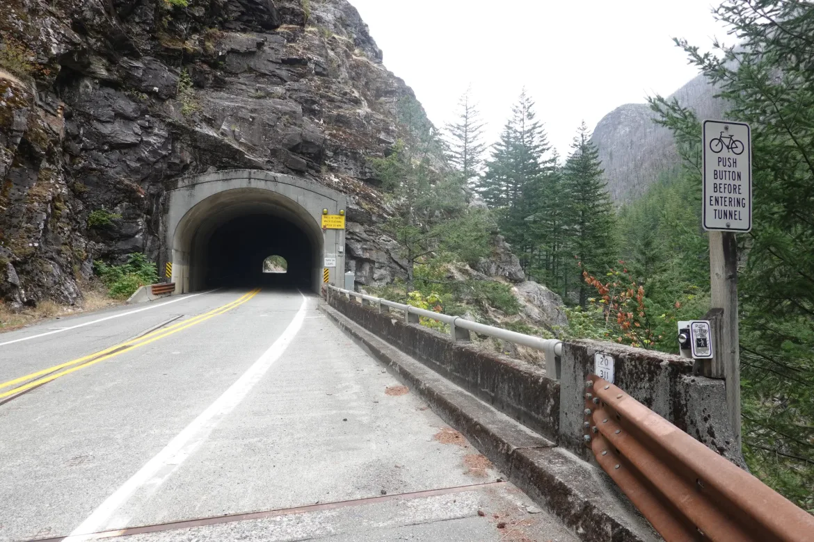
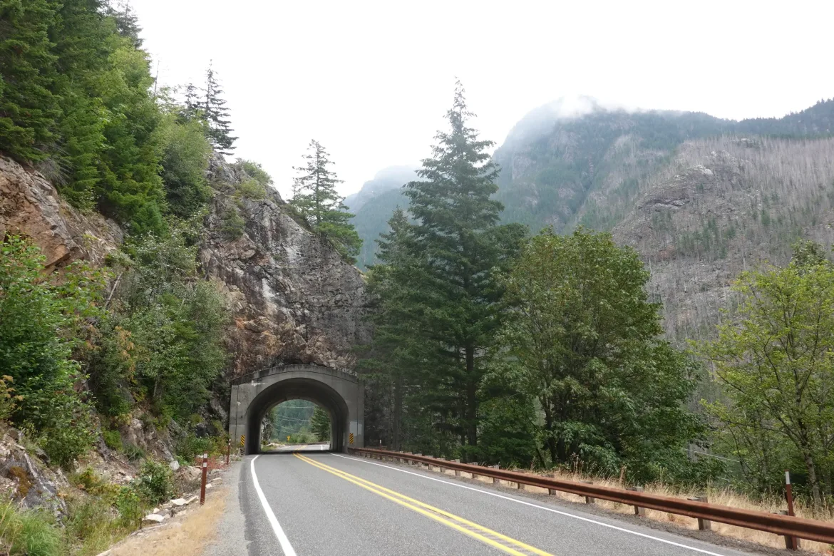
We reached the first tunnel which had a push button for bikers to activate flashing lights warning of their presence. We activated those, but didn’t quite clear the tunnel before they turned off at our walking pace. However, there were no vehicles as we passed through the tunnel. In hindsight we should have had our headlamps on because it got a bit dark in the tunnel.
The second tunnel was very brief and no big deal.
We reached Diablo Street where we had planned to turn off WA-20 to get on a couple smaller roads to lead us to trail. However, the road was marked closed though there was some firefighter traffic on it. Since it was clearly marked closed, we didn’t want to risk anything and continued on WA-20, hoping that we could still cut over to the trail over Diablo Dam which was our last opportunity before the road took a big swing towards the Ruby Fire. We could have kept walking 20 since it was open, but we wanted to stay well clear of the fire, smoke, and out of the way of the firefighters to keep on their good side. With us doing this detour, I do not want to foster any ill will with them since they are doing an incredibly challenging job and I don’t want to make it any more difficult. I also don’t want them to see us as entitled or annoying for those that may follow this route after us.
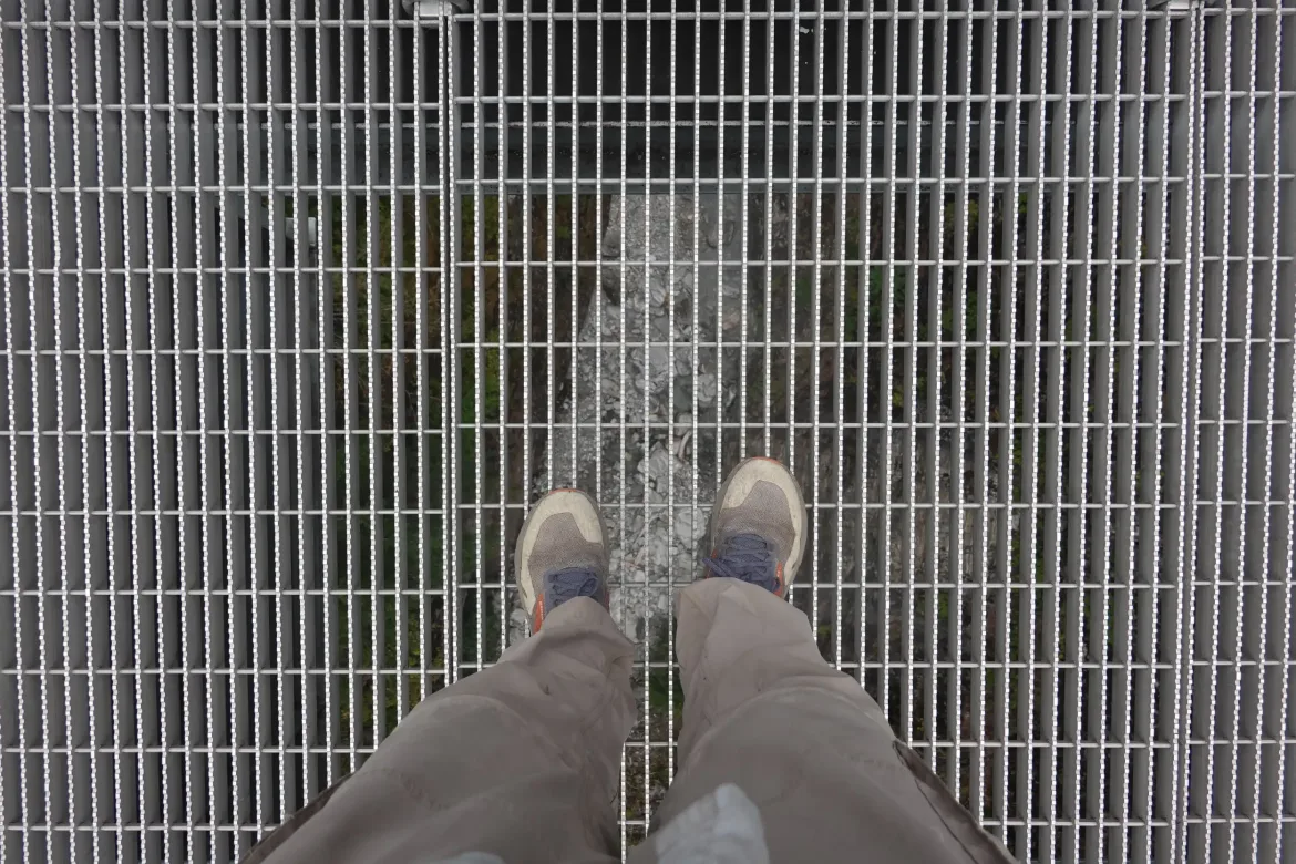
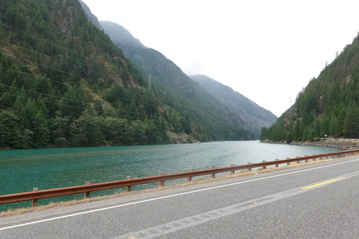
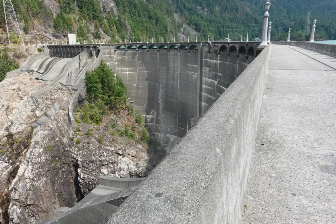
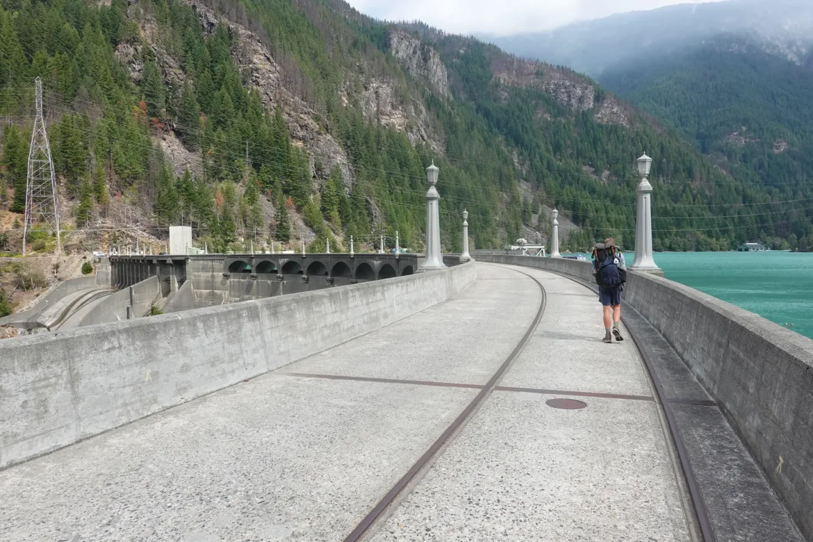
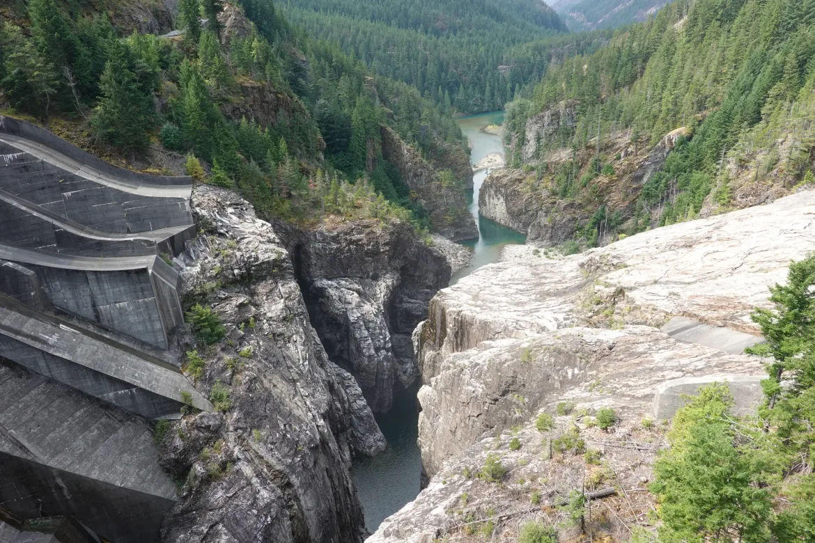
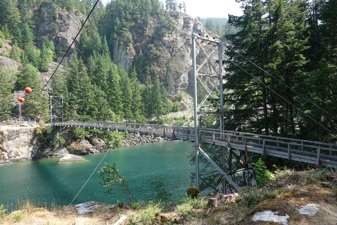
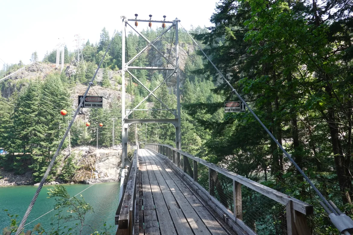
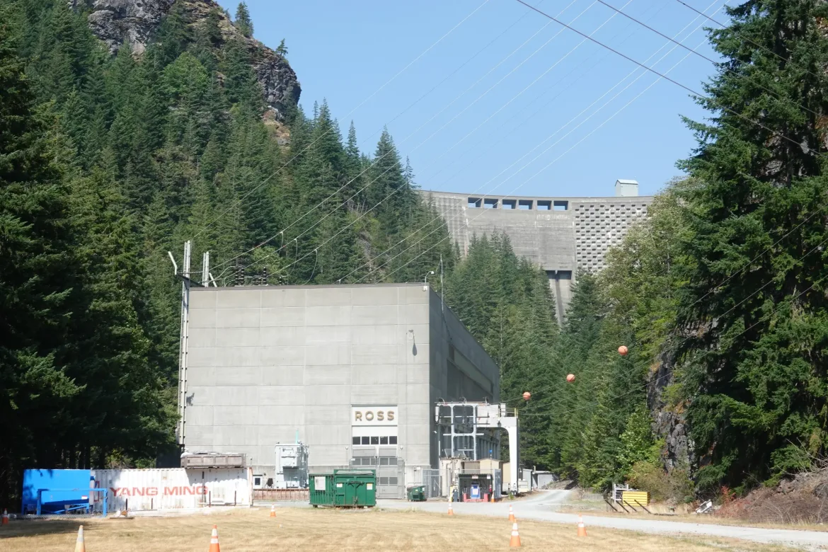
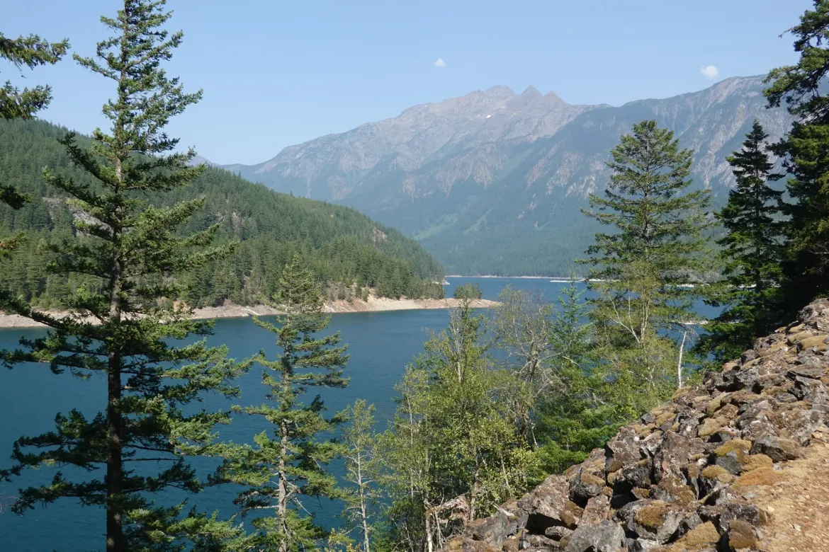
Thankfully, the road over Diablo Dam was open and we were able to cross the dam which is always an impressive experience for me as an engineer. To see this massive concrete structure holding back the huge lake of water behind it as it has been for many years is just incredible.
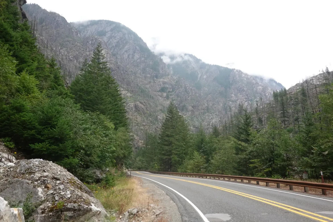
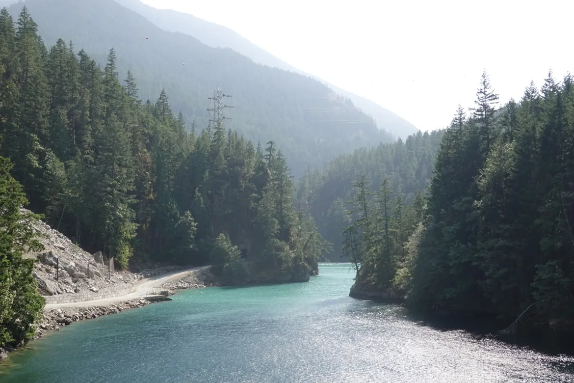
Shortly after crossing the dam we reached trail, and I was happy to disappear back into the wilderness away from civilization, and also glad that there hadn’t been some last minute trail closures posted to foil out plans. I figured from this point we would be in the clear to successfully pass the quickly growing Ruby Fire. That was a great feeling to have. After a couple days walking roads it would have been incredibly disheartening to be redirected just when we got back to trail. We had talked about maybe catching a boat across the lake if the trail didn’t go, but we really wanted to maintain our footpath.
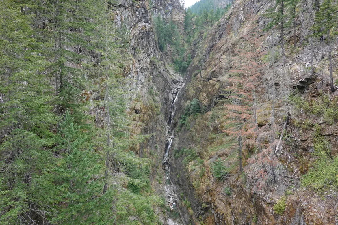
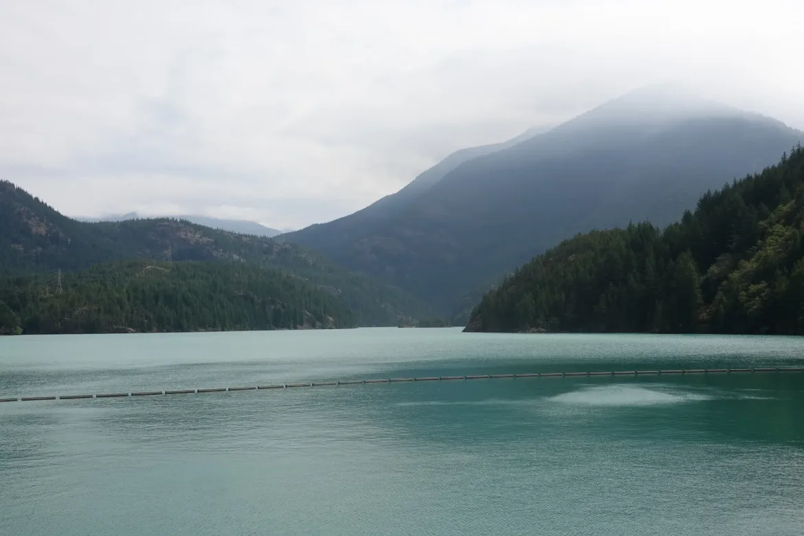
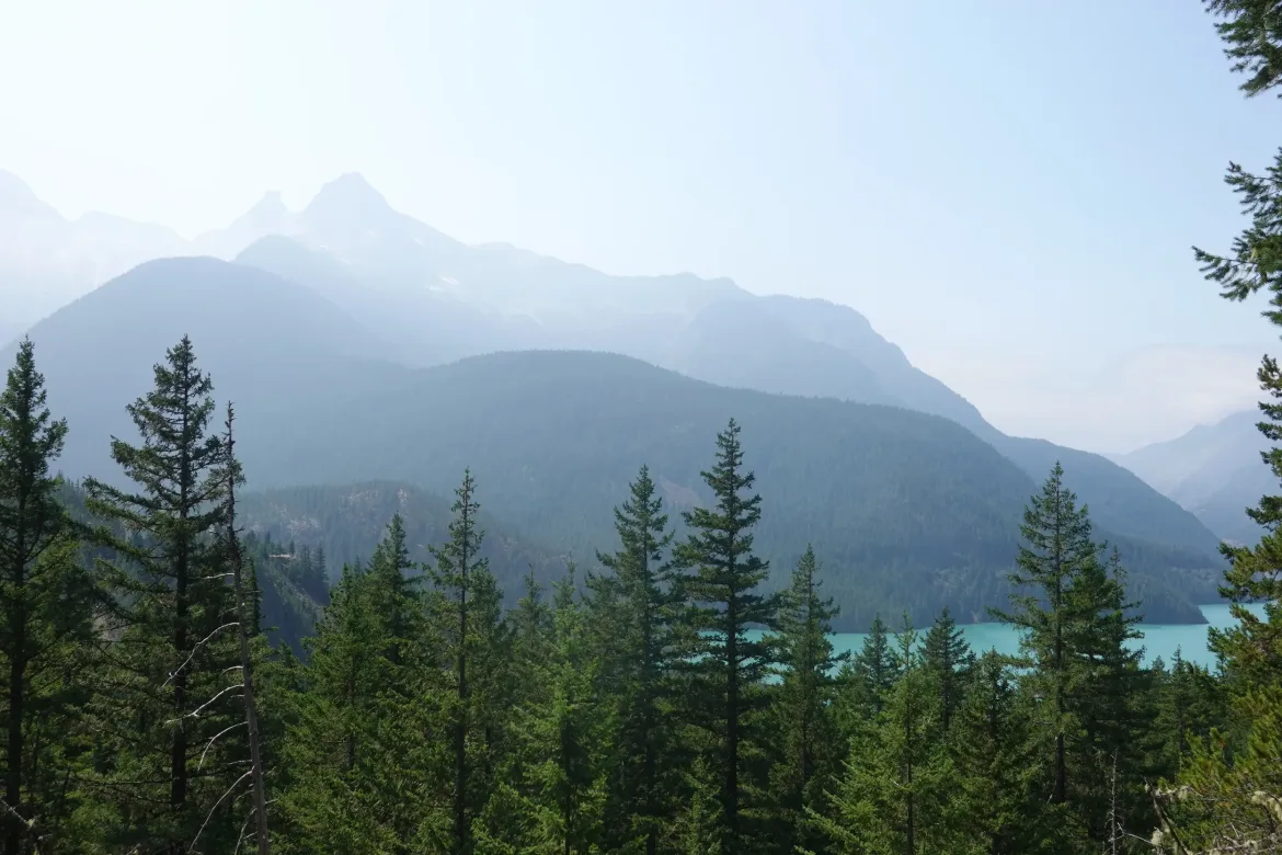
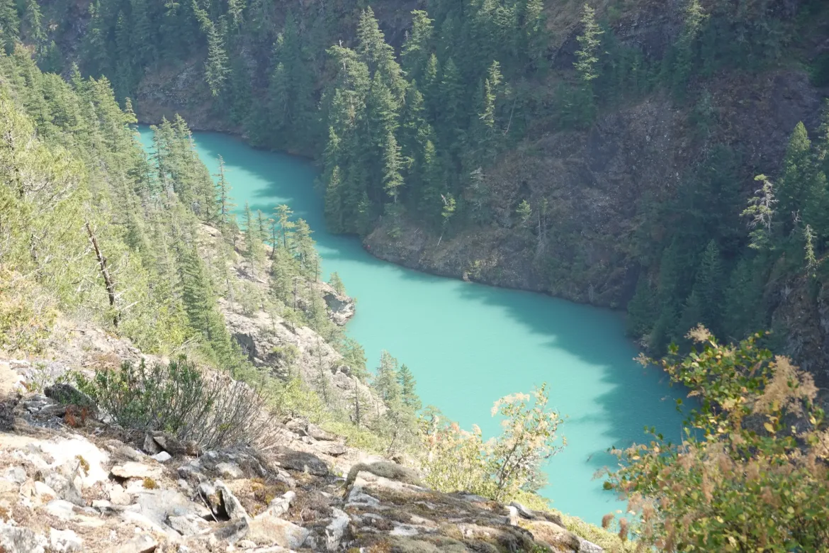
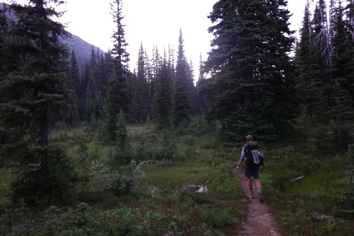
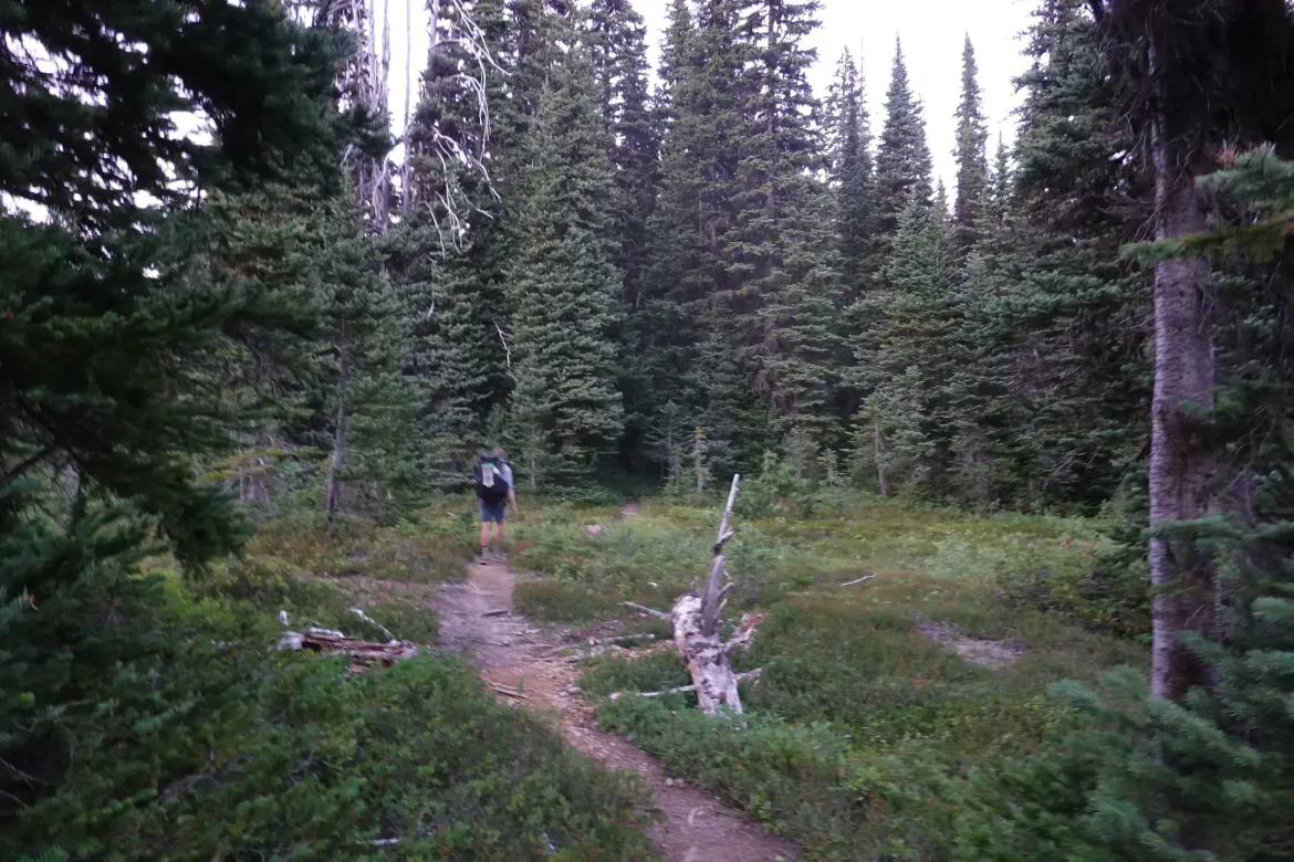
It was great to get back into trail as it climbed up and around Diablo Lake. The trail wasn’t all that scenic, but my mood just changed with the much more pleasant scenery of forest and the narrow ribbon of treadway I am so used to following.
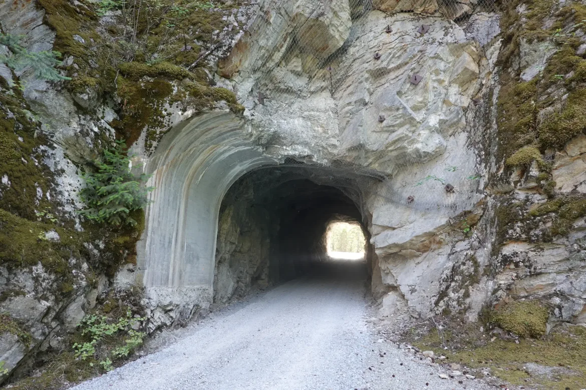
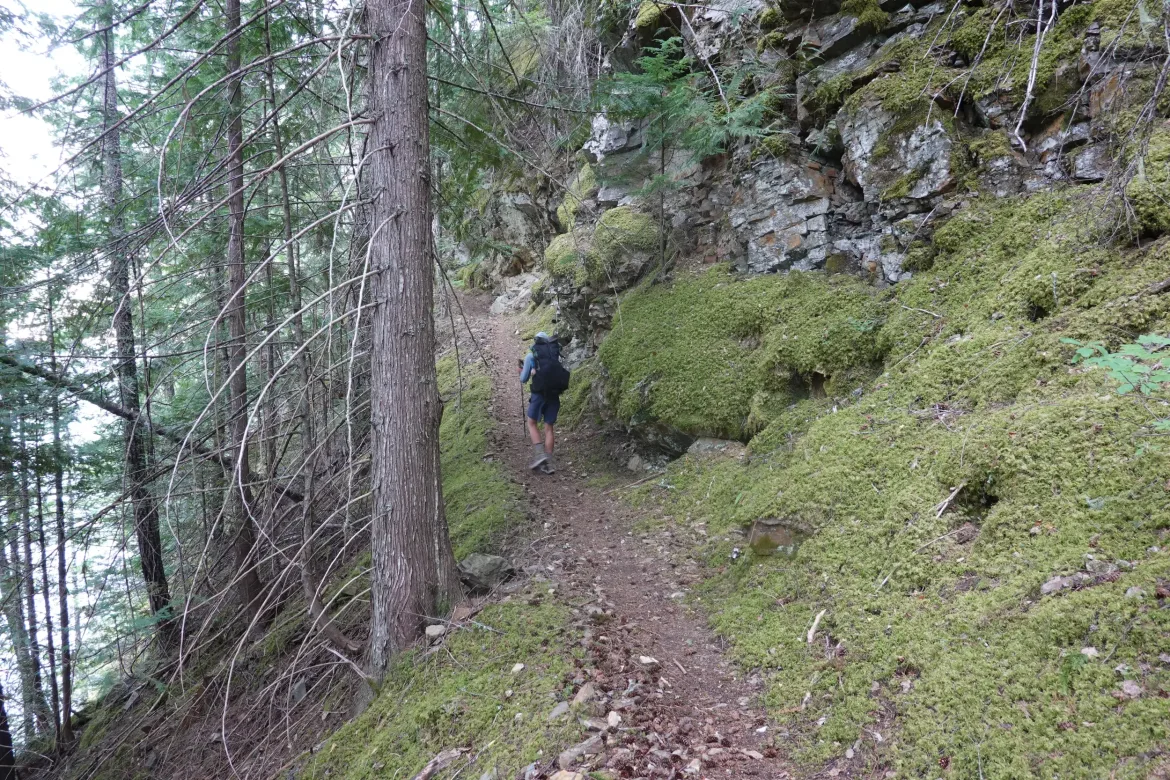
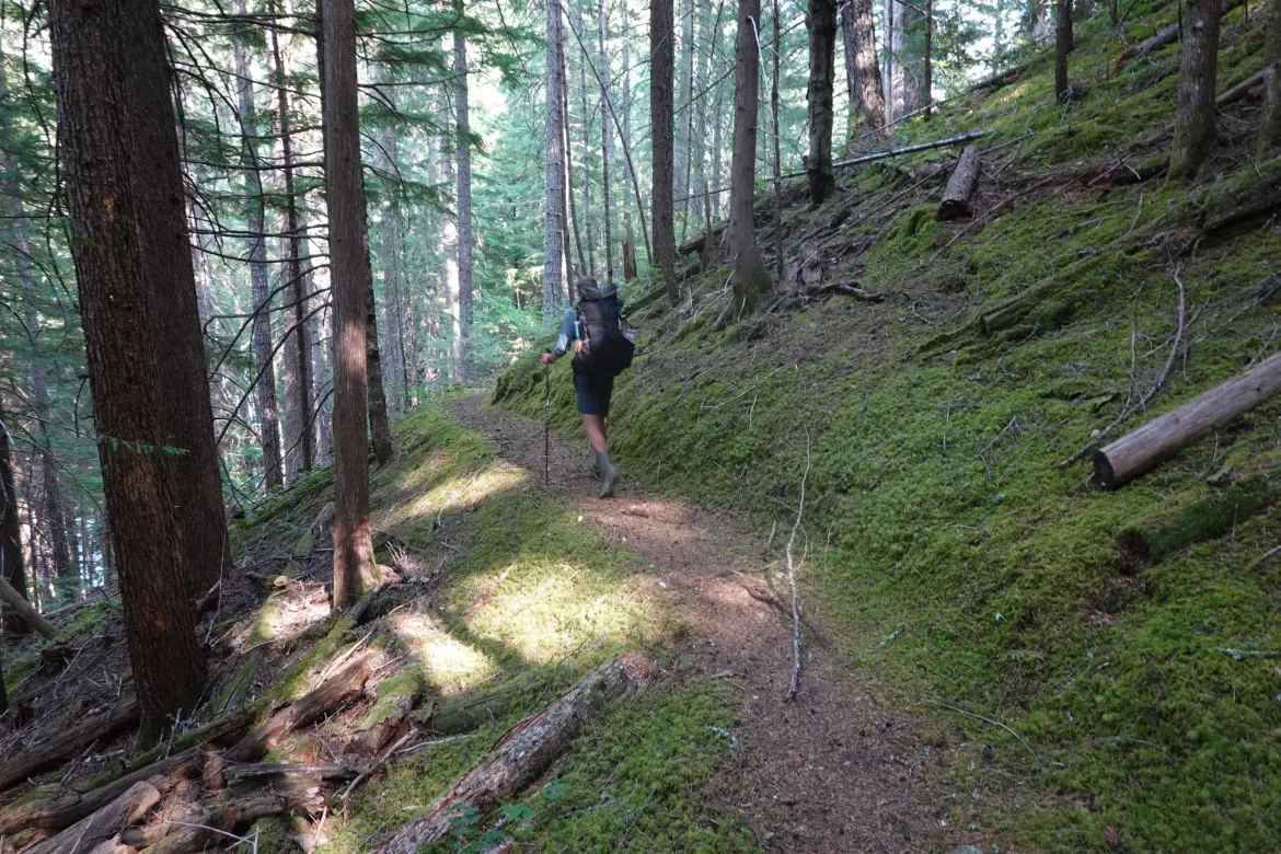
We walked the gravel service road for the dam through a tunnel and to gain enough height to rise to the level of the dam where we picked up the Happy Panther Trail. This trail was marked as part of the Pacific Northwest National Scenic Trail which I hope to hike someday, but I hadn’t even realized that when looking at this route.
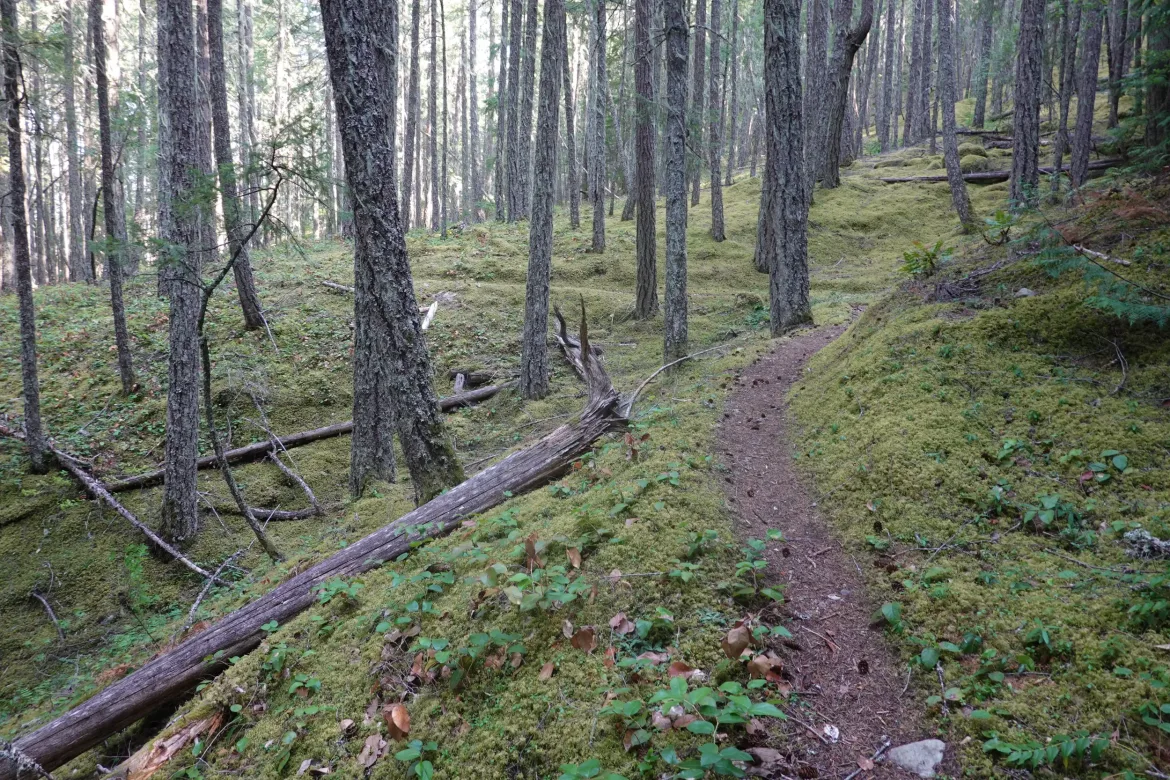
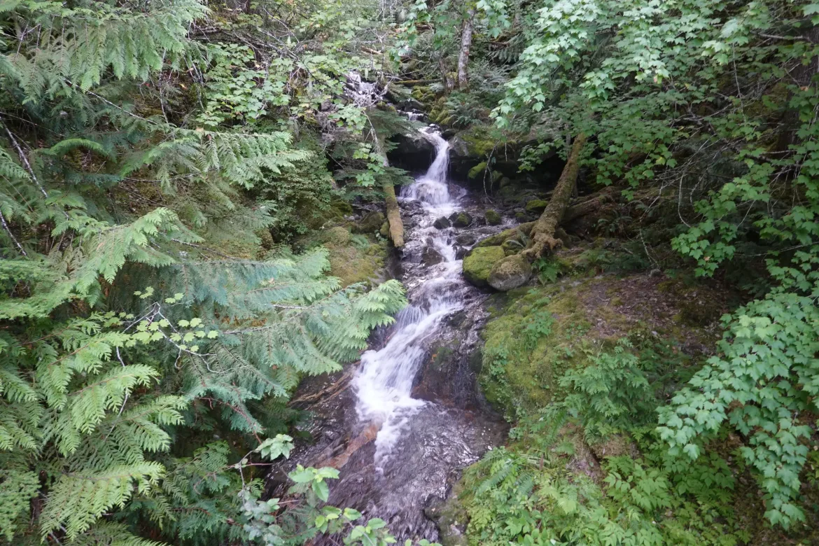
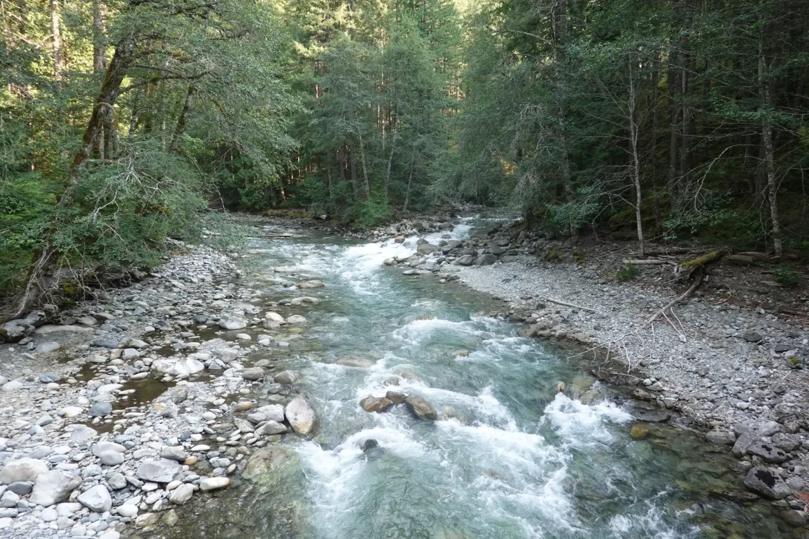
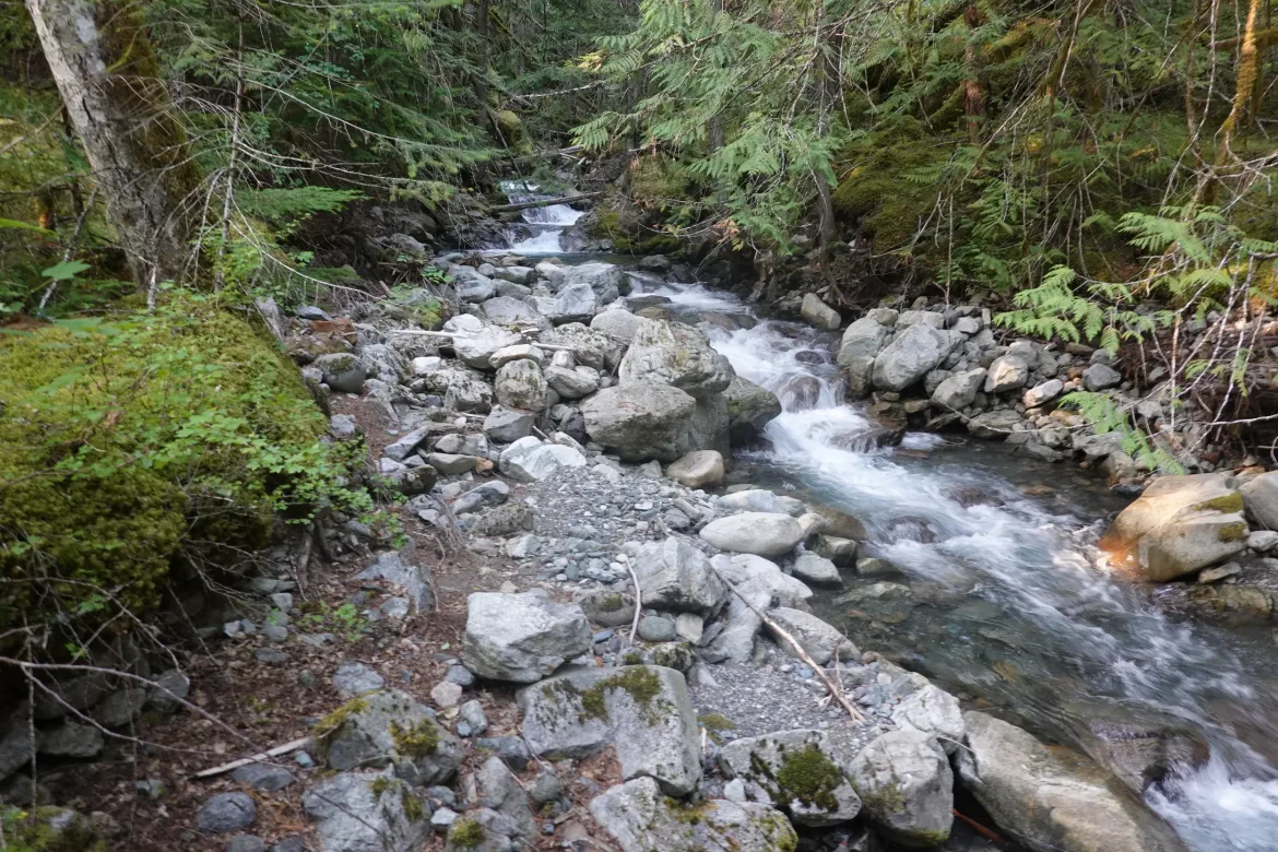
The trail was beautiful as it circled above Ross Lake. We could barely make out the lake below through the trees, but the trail was on the north side of a slope and the whole area had a lush carpet of moss and greenery that was bright even for Washington. It was an incredibly beautiful section of trail, and different from what we had been hiking at higher elevation on the PCT. A great change in pace and the natural scenery well made up for the road this morning.
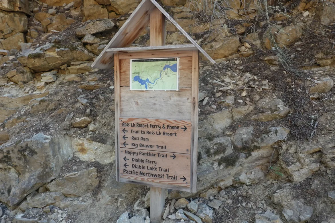
We did meet some PNT hikers who gave us some info on the trail ahead since we still couldn’t use our hiking app for info without purchasing the PNT which seemed unnecessary given our brief jaunt back to the PCT. It was refreshing to see some backpackers again since it had been two days since seeing any, and even longer since seeing any long distance backpackers.
We finished our the Happy Panther Trail and got off the PNT by heading counterclockwise around the Devil’s Dome loop instead of clockwise on the PNT. This got us out of area requiring permits sooner, and early enough for us to camp tonight. It also avoided the massive 5,000 foot climb up Devil’s Dome from Ross Lake. I had done the Devil’s Dome loop previously in our direction, and it was very long even doing that 5,000 foot descent, not even climbing it.
We soon cleared the last of the restricted areas and reentered wilderness at the Pasayten Wilderness. We were also now definitely in the clear from the Ruby and Easy Fires since we left the last trailhead where there could have been a sign closing the trails. One last confidence booster.
Leaving the last trailhead we had already put in more than 30 miles for the day and we had a steep 3,000 foot climb over a short 2 miles. That is a very impressive grade of 1,500 feet per mile whereas the PCT tries to limit its gain to a mere 500 feet per mile. However, even after doing 30 miles we flew right up the climb, covering the last 7 miles of trail for the day in a mere 3 hours with the climb. I love the fitness we develop as thru-hikers, and it is quite a shame that it goes away so quickly at the end of a hike.
As we got to the top of the climb, the only decent camping area was already taken by weekenders, and I’m sure they thought we were nuts tearing up this mountain at 8:30pm, but it’s what we needed to do to finish out the PCT when we could get a ride home. We hiked on and set up at the first flatish spots we could find in the open McMillin Park. It was getting dark as we rolled in, so no pictures, unfortunately. It was a late night and we quickly setup camp and ate dinner before diving into our tents to go to bed.