
Start: Trap Lake
Finish: Grizzly Peak
Daily Mileage: 24.1
PCT Mile: 2479.6
It stayed dry overnight after the storms of the afternoon. Just some areas of damp as we went in and out of very localized areas where it rained.
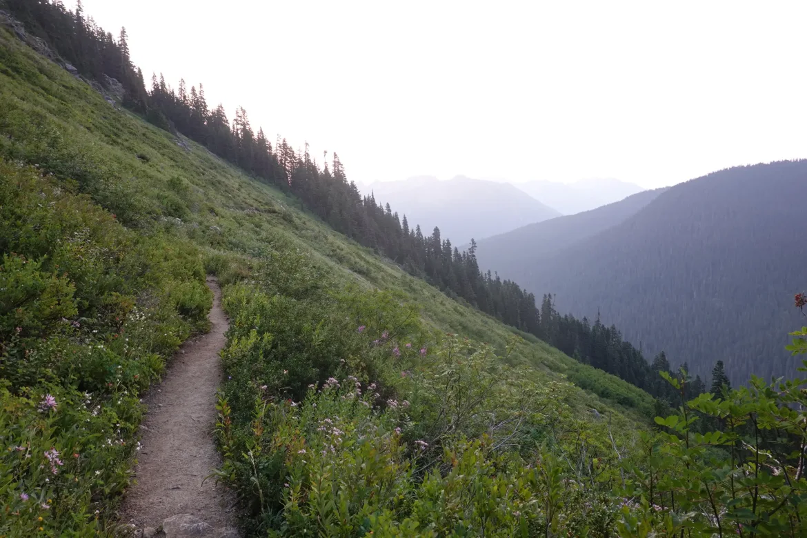
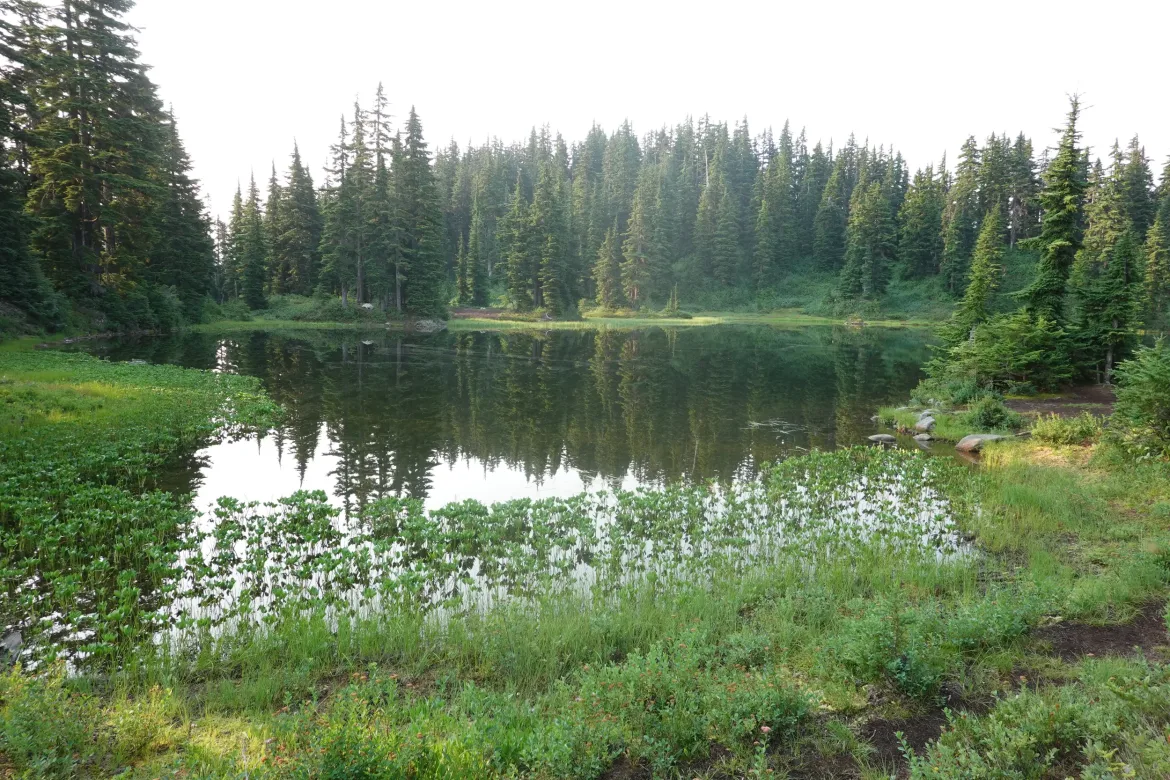
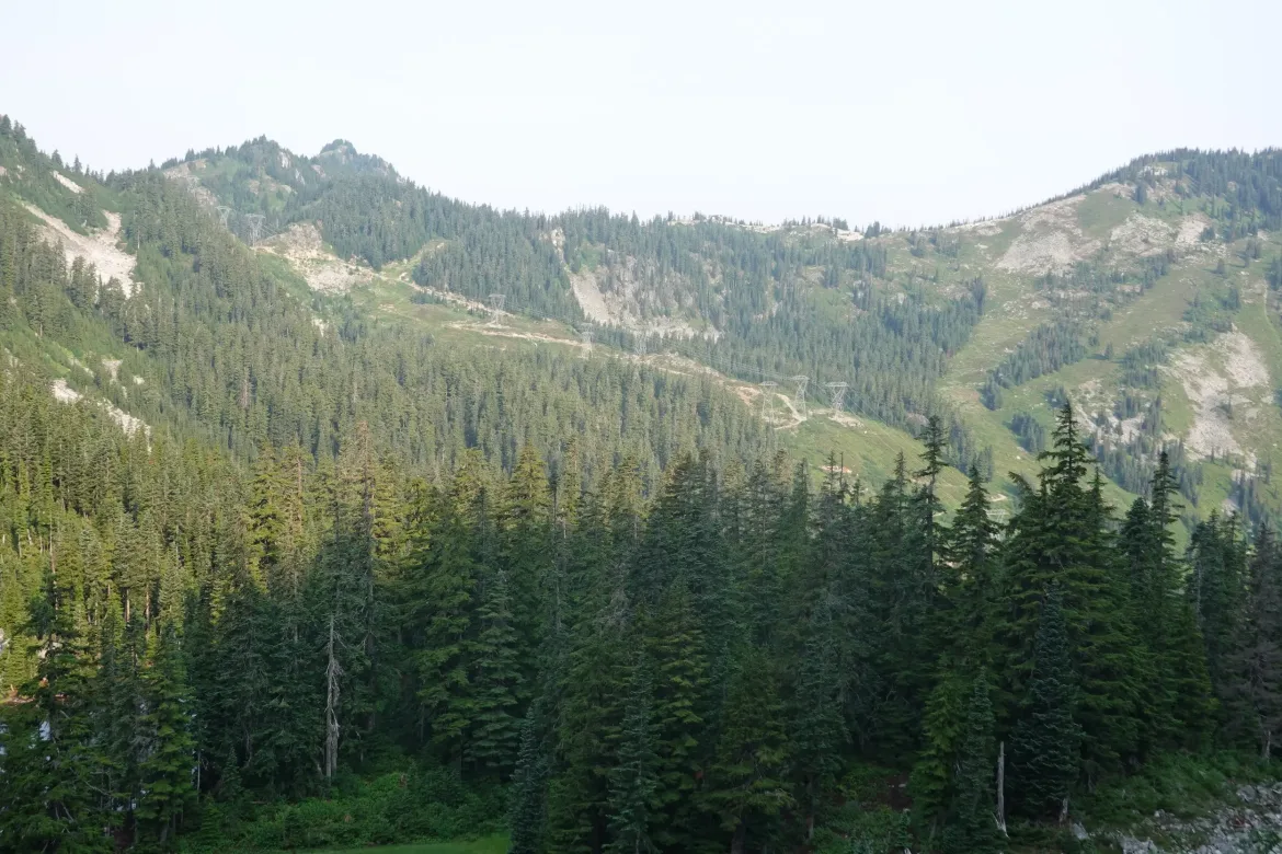
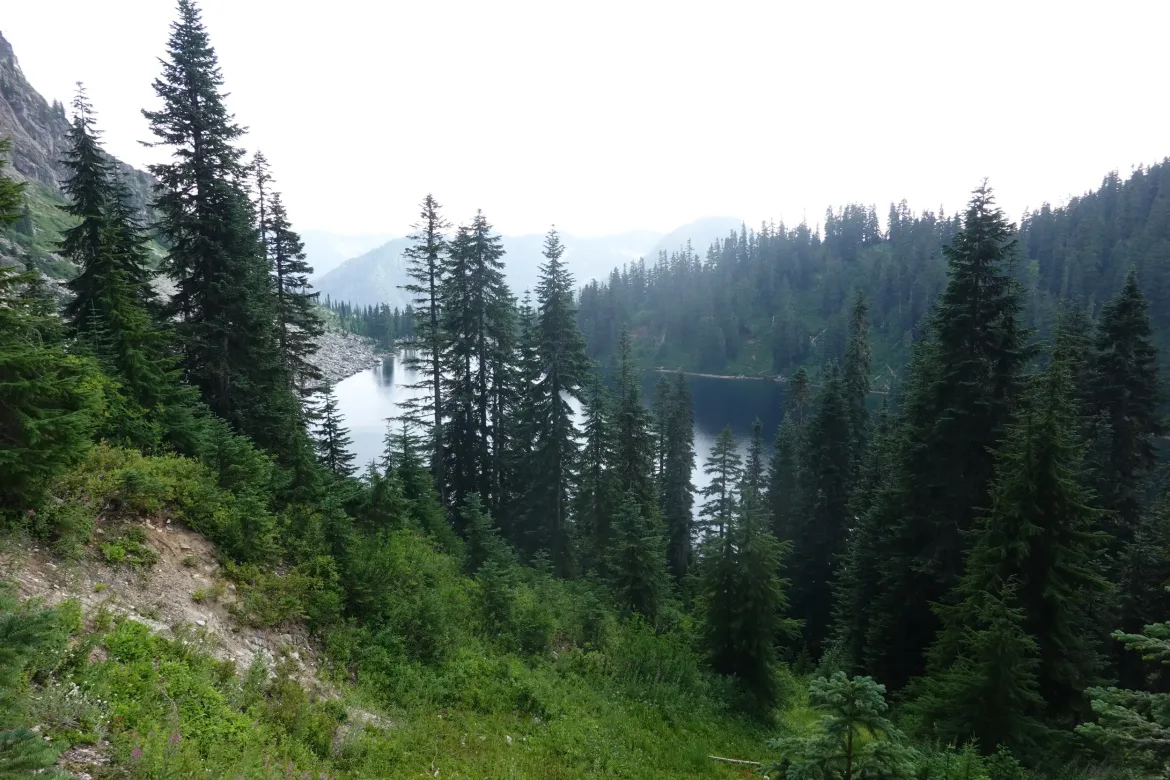
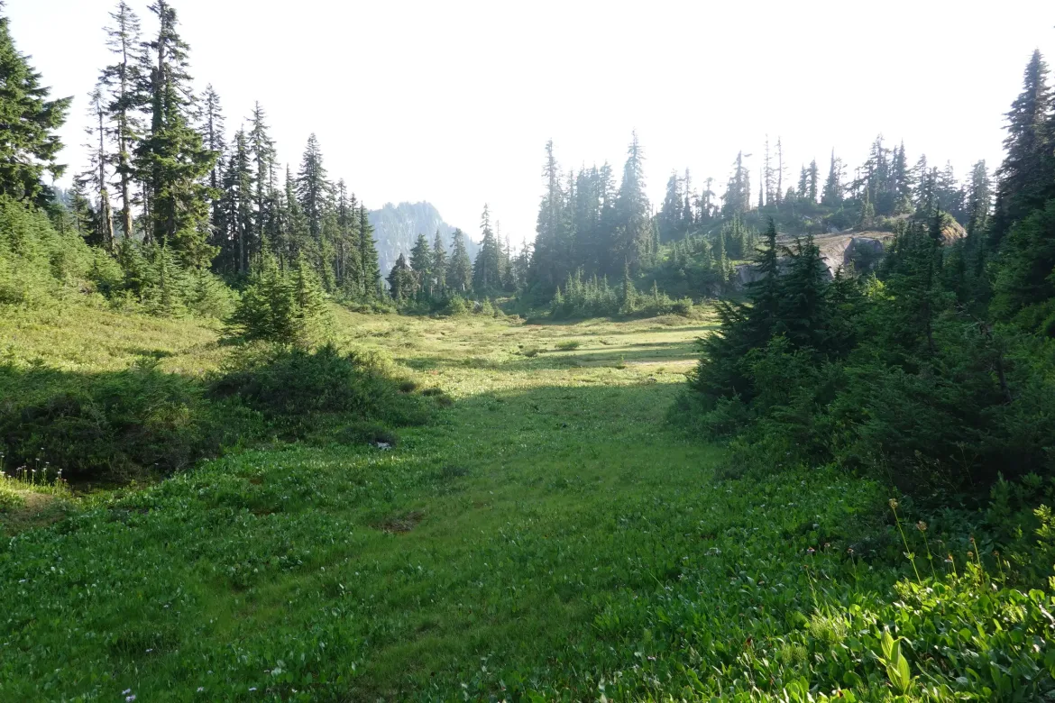
Compared to the past couple days, the trail today was relatively unremarkable. The mountains were forested, and there were just a few small streams and meadows to keep us company.
Our packages were waiting for us, and we grabbed overpriced food and beers from the concession while we decided what to do next. Most hikers are skipping the next section of trail since there are two sets of wildfires on it. We had a way around them that was mostly other trails for 50 miles and a short jaunt up a glacier, but it was just blocked off by the Pioneer fire 10 miles away that officials were afraid would shoot up a valley the PCT crossed despite little growth for days.
We had contemplated taking that route, and getting off at Holden, an isolated settlement in the mountains which has a ferry down Lake Chelan back to civilization. From there we could hitch or take a bus around to where the trail was open and continue our hike. This had a lot of logistical challenges, but it was our plan.
However, I got word from a hiker with tons of route making experience that he had a route around for us, though it involved a bit of road walking.
Honeybun and I considered our choices for a while over beers. We definitely weren’t going to take the straight skip route like almost every other hiker. We landed on the road alternate since that would have us travel continuously through the area rather than dealing with the disjointed logistics of the ferry route.
That settled we dug into our boxes of 7 days of food for our original glacier route that was now impossible. We had way too much food since we would now be in town in 3-4 days, but it was a lot of food to just hiker box, so we packed it all out anyways. I don’t like to hiker box tons of food like that. It cost time and money to assemble.
With our plan, we continued down the trail. At the trail register, the last thru-hikers to pass were a couple 5 days ago. Wow, absolutely everyone is skipping around.
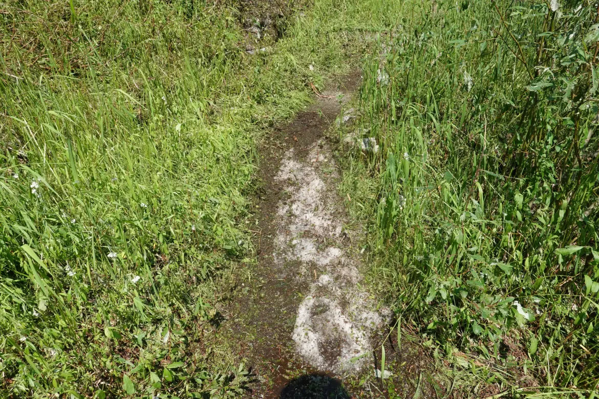
Heading down the trail, there were patches of snow which was surprising since there was none on the ski hill. The plants were also all shredded. It took me a few minutes to realize that the snow was hail, and it must have hailed significantly here yesterday afternoon when a cell passed overhead. There were still large chunks of hail fully formed in the piles that hadn’t melted yet in the warm weather.
Our packs were really heavy with the 7 days of food. More than we’ve carried for almost 2,000 miles, and they were dragging us down on the climbs. But there was nothing to do about it but press on and lament not dumping some of our food.
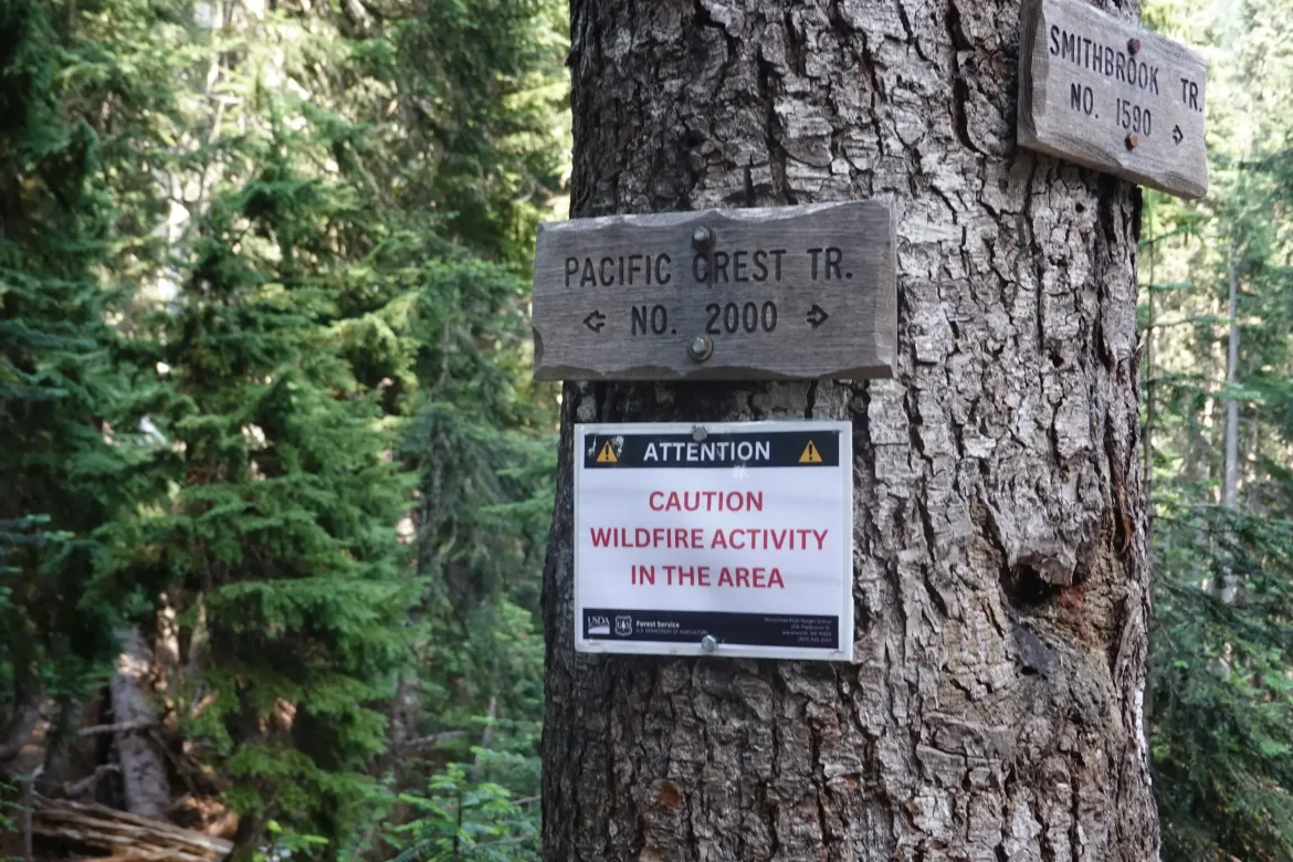
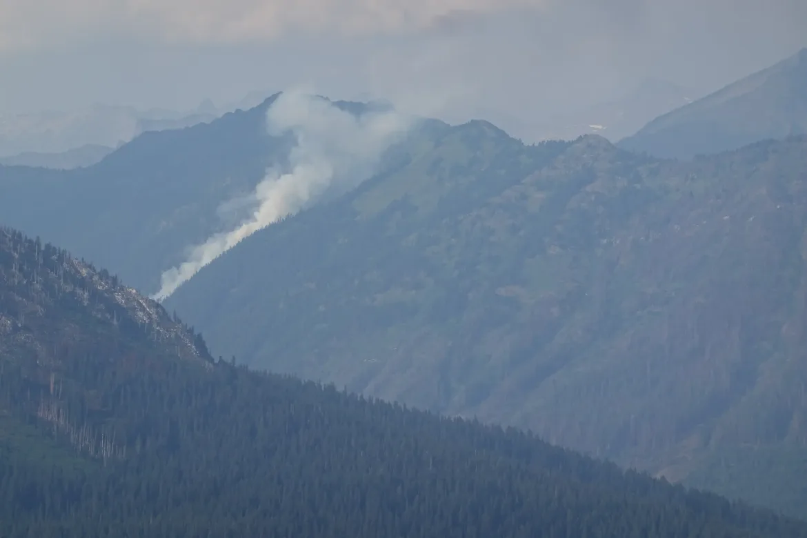
There was no water around where we wanted to camp for the night, so we had to grab it a few miles before camp. Unfortunately there was a good climb to a ridge for camping, so it was a bit slow with our packs now full of both food and water were dragging us down. It was a long climb but we made it, but were immediately faced with a fire a couple miles away. With the lightning yesterday, it looked like a new fire, but it seemed to line up with the location of an existing fire which wouldn’t affect us, so it seemed ok. There was a sign shortly before on the trail that warned of fire activity but provided absolutely no information. Useless.
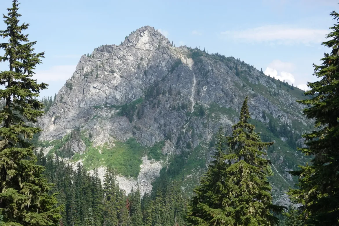
We traversed the ridge which was trying to be alpine but not quite high enough. Caught sight of Glacier Peak for the first time, but it was a bit hazy with smoke and hard to see.
After struggling under our loads along the ridge, we decided to call it a mile and a half short of our goal so we could eat and drink our way through part of our loads to make continuing easier tomorrow. We got a nice perfectly flat spot on the ridge for the night.
Today was mainly logistics and figuring out our path ahead which we have been lamenting for some time. However, we have a plan now that we are happy with, and are setting it in motion.