
Day 120
Start: North Cinder Peak
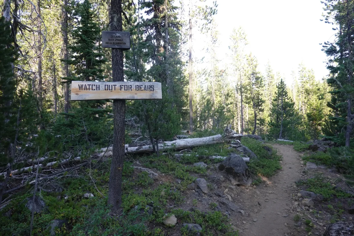
Finish: Warm Springs Indian Reservation
Daily Mileage: 34.3
PCT Mile: 2055.8
A colder than normal night. First time I wished for my puffy, but made due. I even zipped up my sleeping bag which is unusual for me. Usually quilting is more than enough. It seemed slightly warmer in the morning, so not hard to get up.
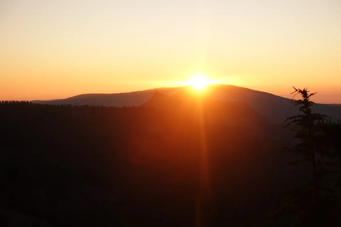
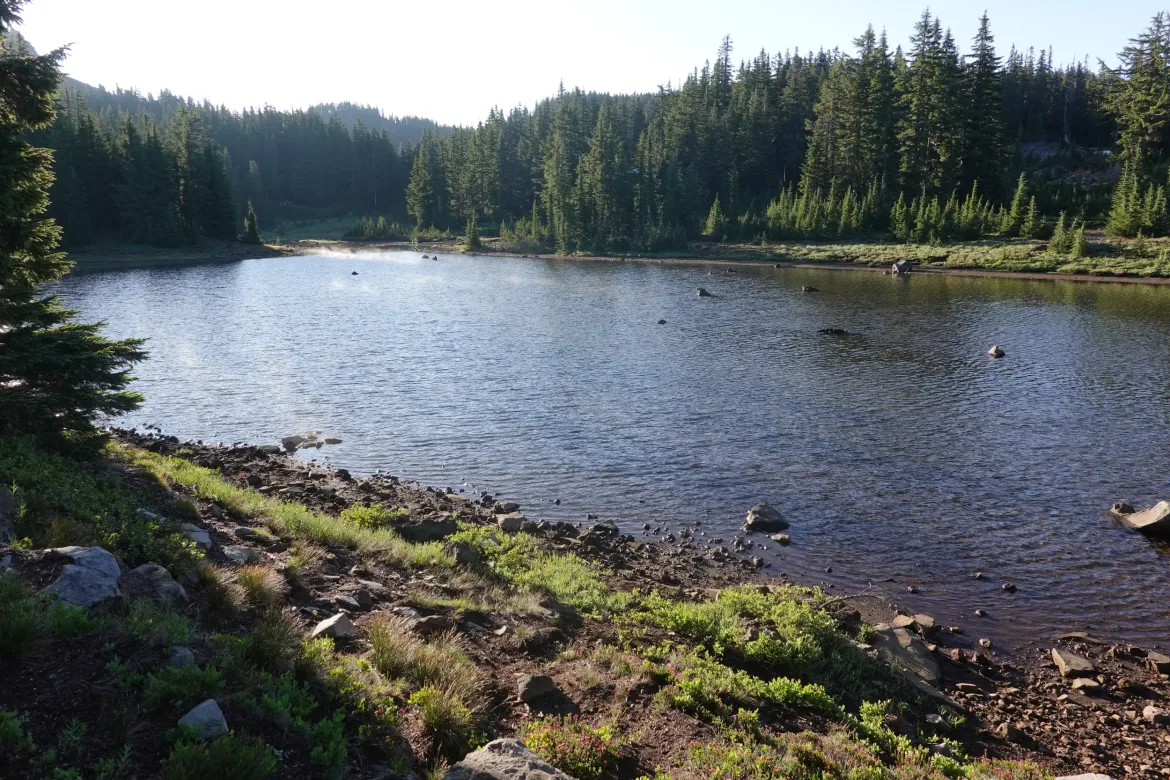
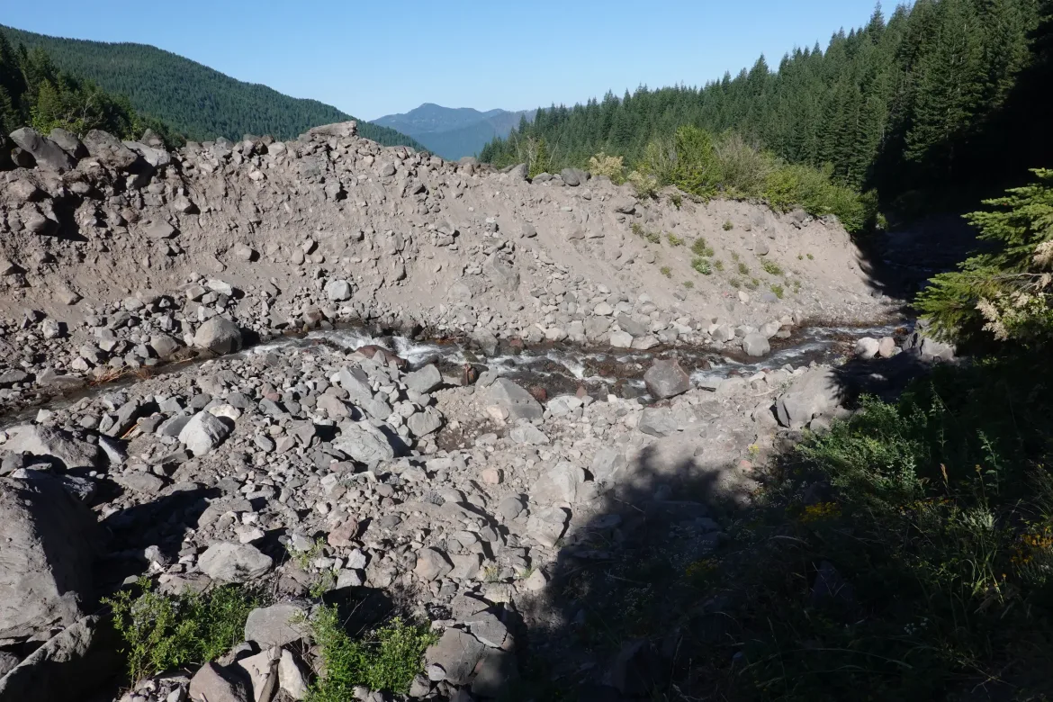
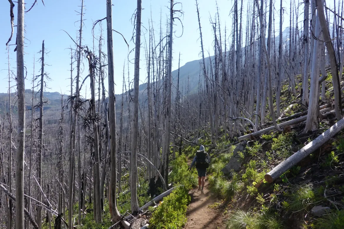
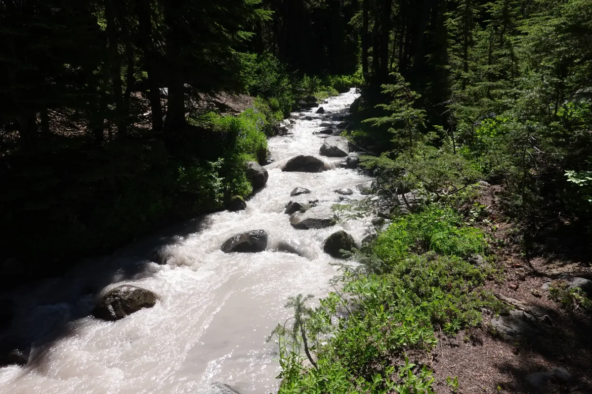
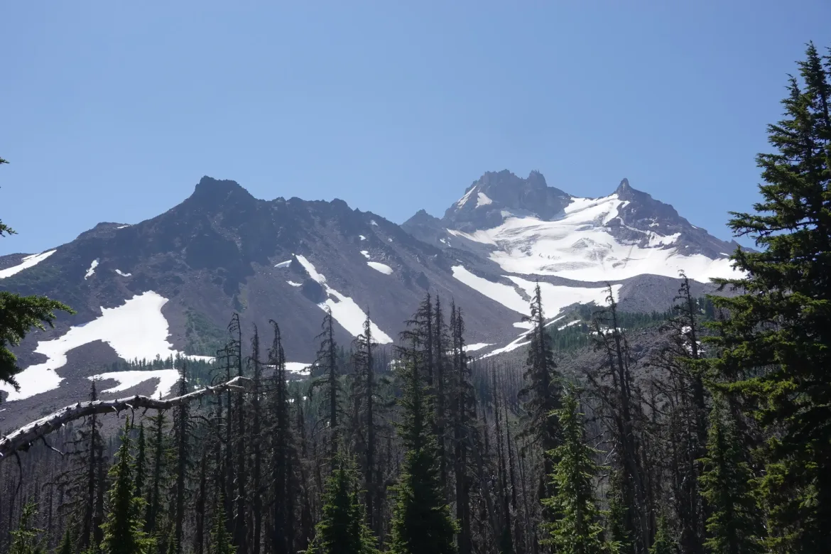
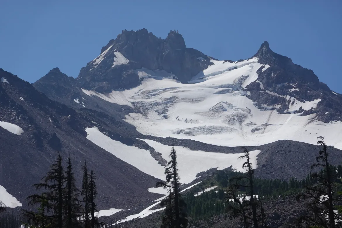
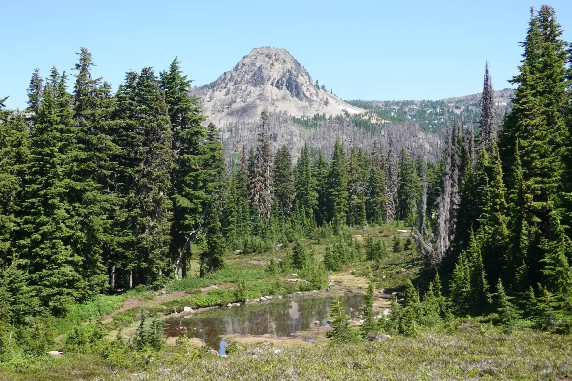
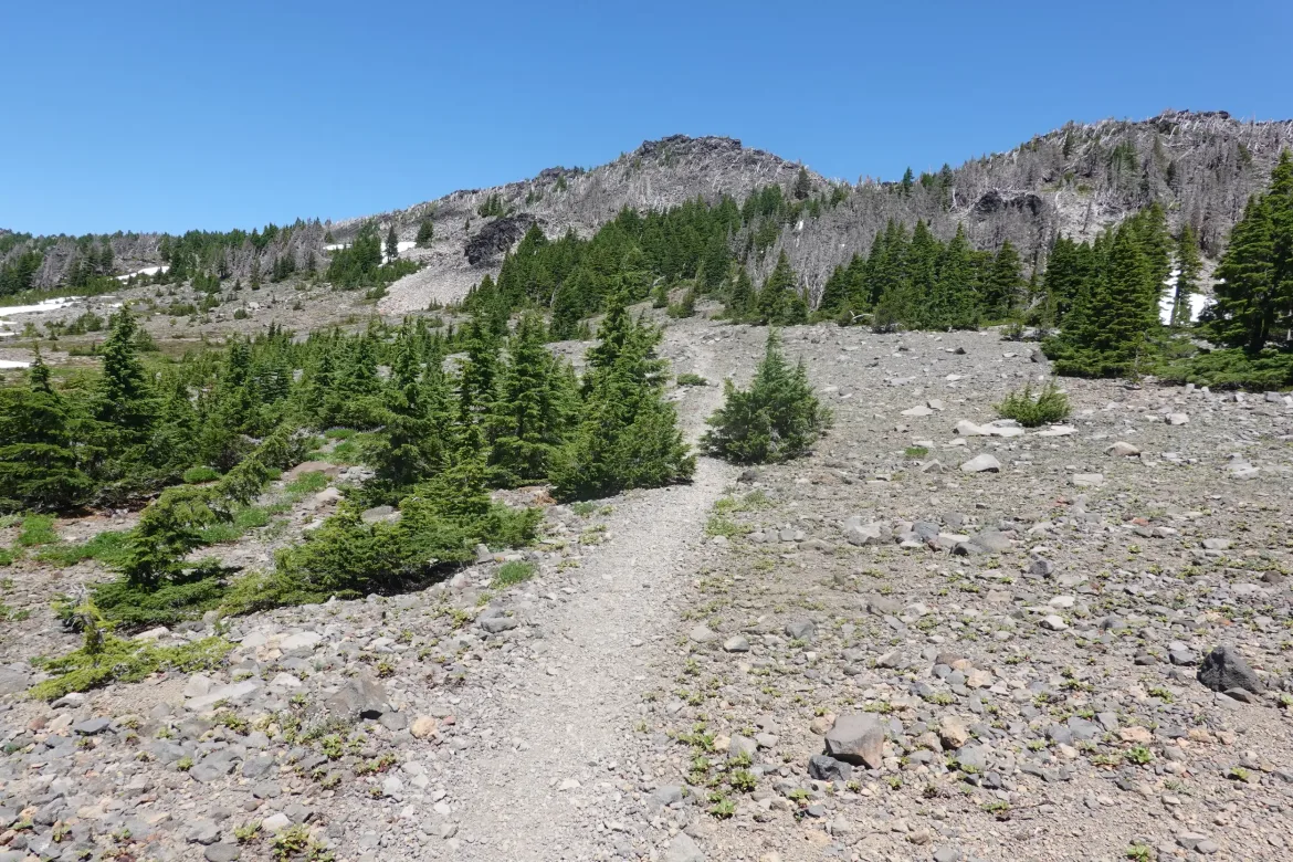
A nice easy downhill past some scenic but buggy ponds to the first glacial runoff creek of the hike coming off Mt. Jefferson. The trail circled the mountain which is the second highest volcano in Oregon.
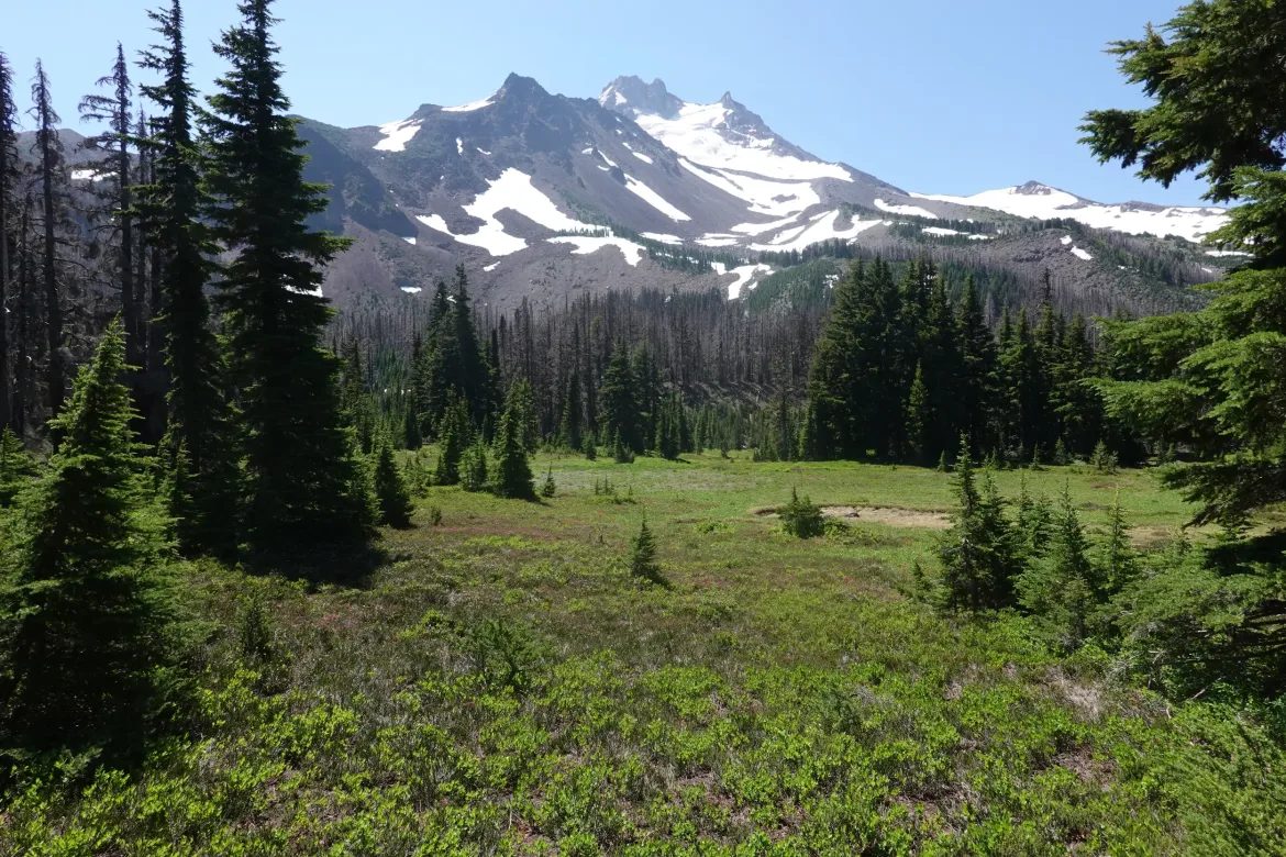
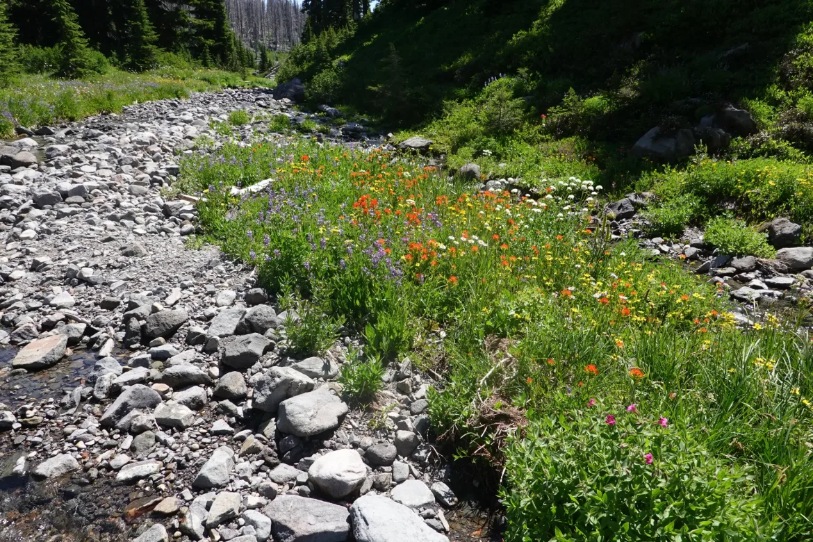
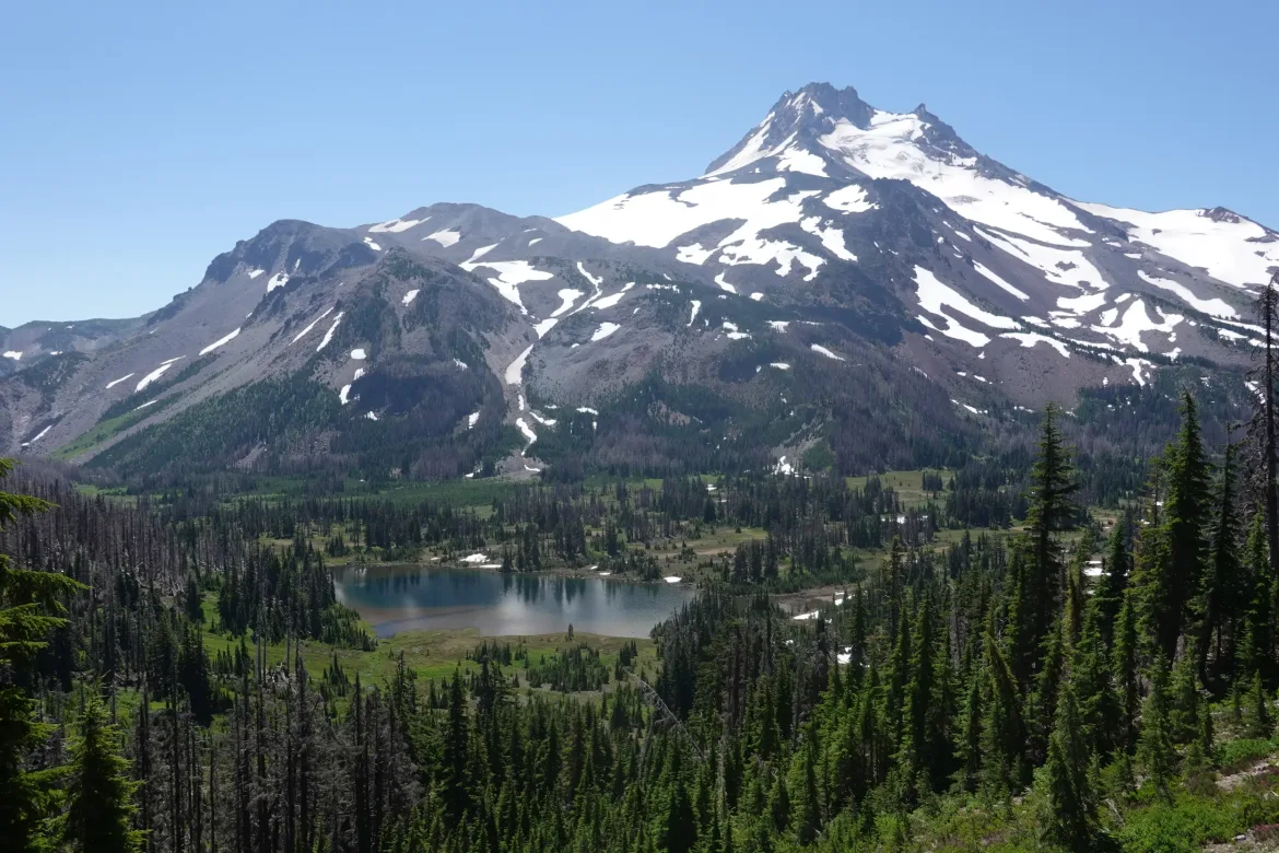
We came to Jefferson Park which turned out to be a fantastic series of small meadows that was the perfect setting to the backdrop of Mt. Jefferson. It was extremely idyllic, and quite apparent why it is a limited access area. Everything was flowering and bright green, which was a great contrast to the gray and white mountain behind it.
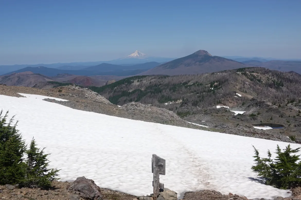
Reaching the top of the ridge, we were presented with phenomenal views to the north. Most prominently, Mt. Hood stood out in the foreground, and it was actually the first time we had seen the volcano on this hike. All of the sudden it wasn’t that far off.
Staring deeply into the light smoke in the air, you could just make out Mt. St. Helens and even Mt. Rainier far to the north in Washington. I was not expecting to see Rainier quite so soon, and it impacted me since it is quite prominent where I live in northern Washington. I could veritably see all the way back to home from here!
We took a break to take in the view and appreciate our progress north before starting down the ridge.
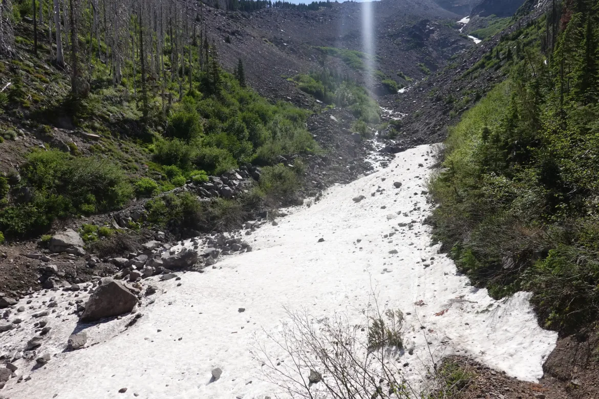
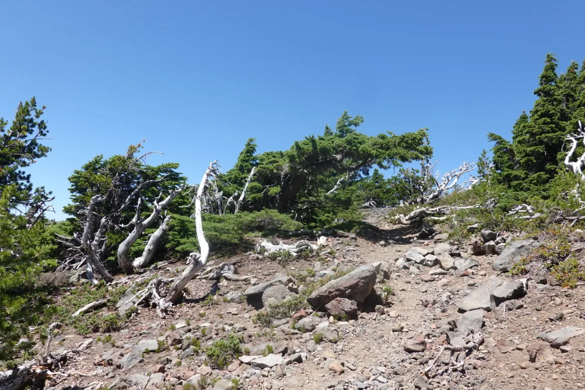
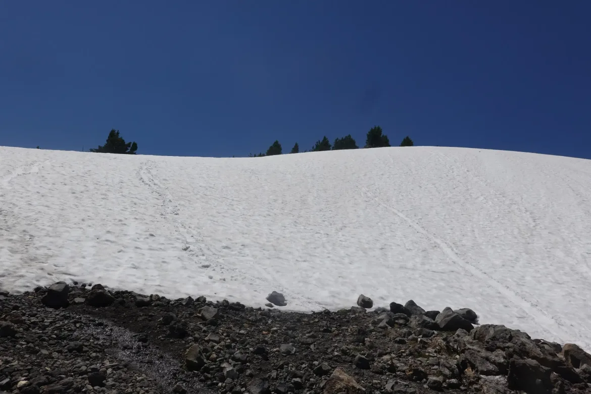
Flipping over to the north side of the ridge, we were revisited by our nemesis, snow. There was the remnants of a large and steep snowfield to cross. It was not easy to get down. I tried to traverse it to a shallower section, but fell and decided to just glissade down. Yes, at the end of July. Way too late for snow travel.
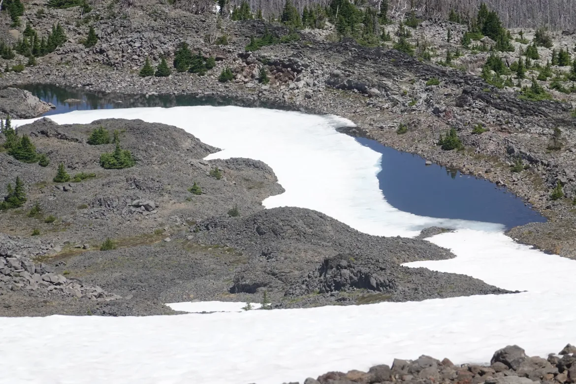
There was even a half frozen pond up there, and snow in flat areas, which was just too much.
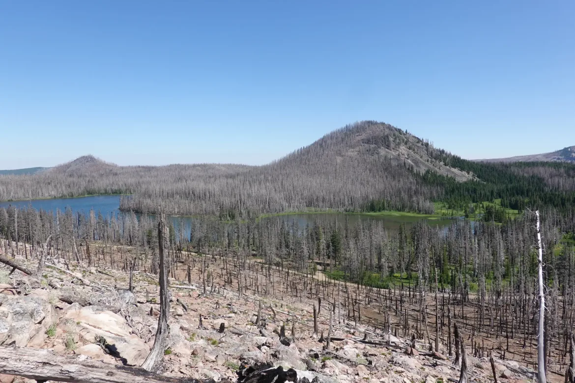
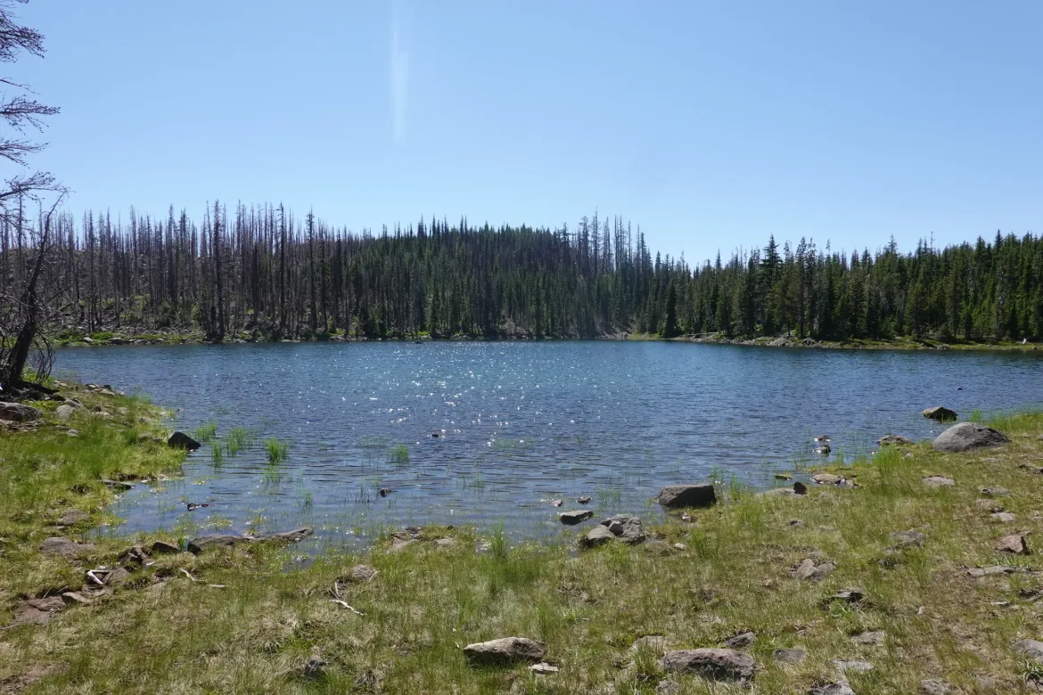
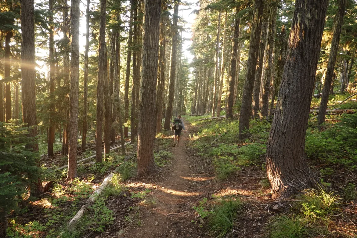
The trail eventually improved, and after Olallie Lake we finally reentered unburned forest. It was getting late in the day, around 7 which is after we normally stop. However, we hadn’t made it to our goal of 34 miles. We went back and forth but decided to press on, with trying to get the most out of our upcoming Timberline Lodge stay in the forefront of our minds.
W cruised through forest and arrived at a primitive road some hikers had mentioned camping by. We scratched out a couple spots on the side of the road and finally at 8:30 called it a day having covered 34 miles in 14.5 hours. Exhausting, but we did well.
While Mt. Jefferson and Jefferson Park were fantastic today, seeing Mt. Rainier far to the north and near home really made the day for me. We are quickly closing in on the end of this long journey.