
Day 70
Start: Mammoth Lakes, CA
Finish: Two Teats
Daily Mileage: 17.2
PCT Mile: 918.2
Two restful nights for me, and time to get back to the trail. We mailed our crampons home as soon as the post office opened since we shouldn’t be needing them again, hopefully. We still have our microspikes and ice axes, and probably will for a while.
Back to the trail on the super convenient and free town trolley system. Doesn’t get any easier than that. We hit the first trolley and arrived back at our exit point at 9:30.
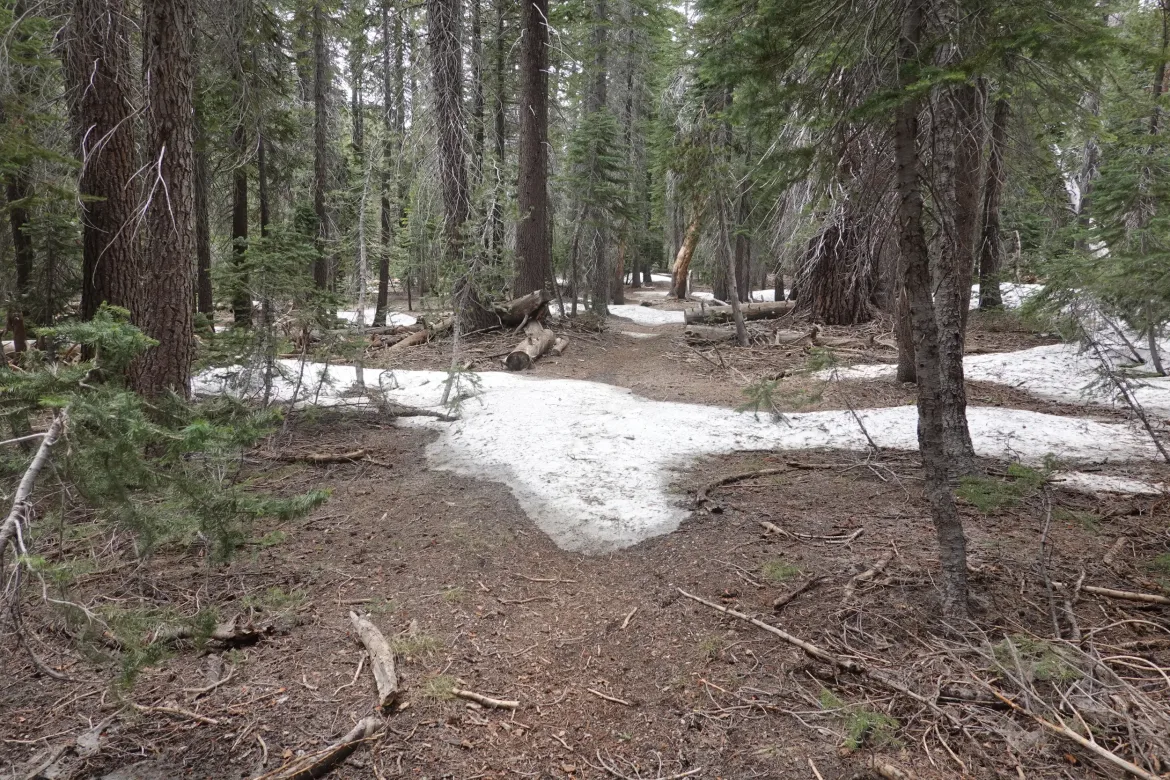
Then it was retracing our steps over Mammoth Pass and back to the PCT 3.5 miles. There was not much elevation to get back to the pass, but it was still very snowy around the pass with the speed bump style drifts. I tried a different parallel route on the return trip and it was about as snowy as the first trail. It stayed on the side of a hill, and the snow started pushing me down. I didn’t really want to climb up just to climb back down gain shortly, so I went with it and made my way diagonally across the hillside.
I ended up at the edge of a meadow where I got my feet soaked getting back to the trail. Slight shortcut, but not sure if it was worth it.
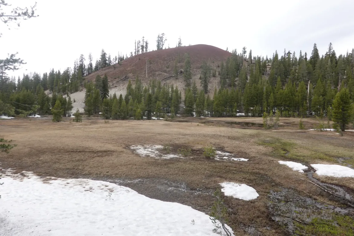
However, the snow soon disappeared as we descended which made for much more pleasant hiking around the volcanic remnants in the area from past eruptions.
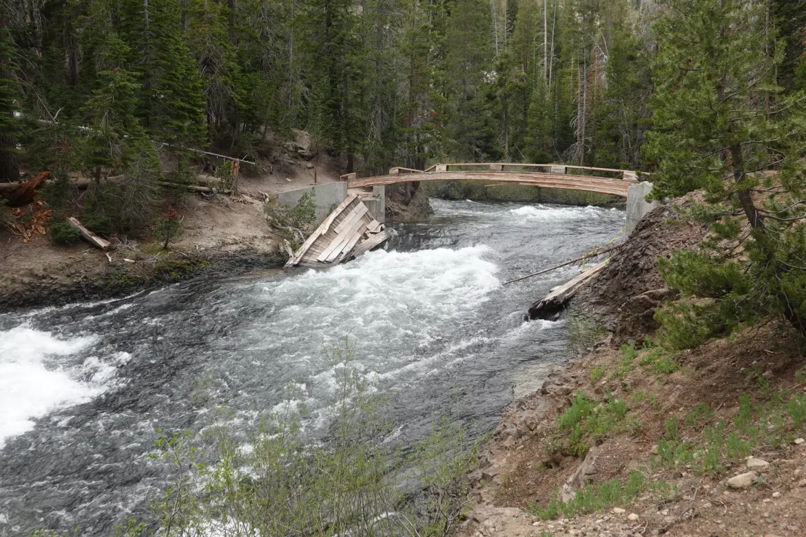
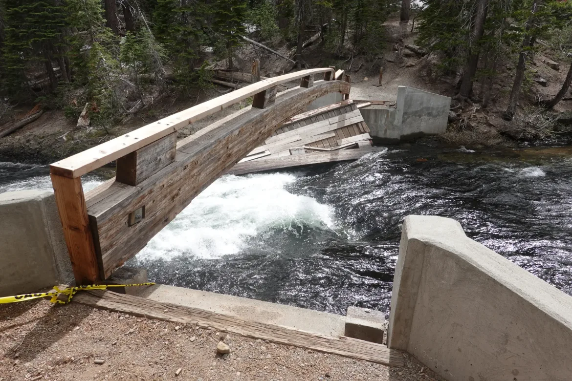
There is a bridge out ahead from the huge snows and snowmelt last year. We had a couple options to get around it. It was a full river, so something not good to ford. We first were leaning towards taking the JMT which doesn’t use the bridge and is about the same length as the PCT, but then when I looked at the satellite view I saw it was almost all covered in snow whereas the PCT was snow free. Easy decision to stick with the PCT.
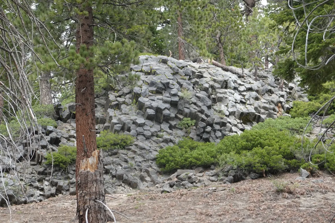
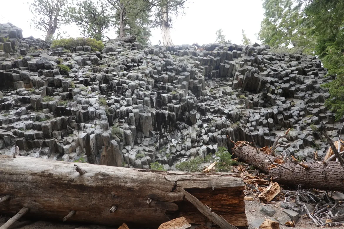
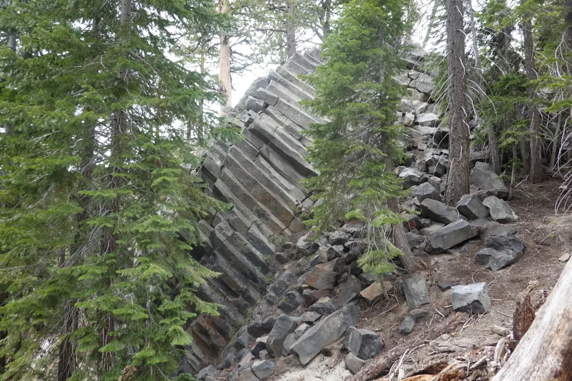
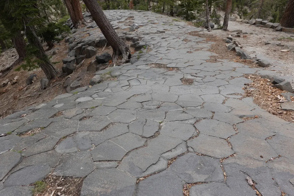
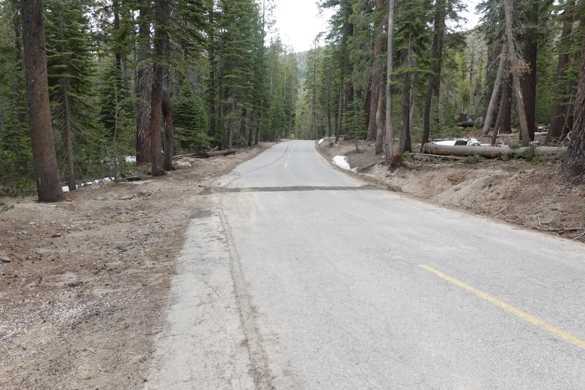
The PCT was rerouted up a paved road. We cut about half of the roadwalking by diverting through Devil’s Postpile National Monument which was only slightly longer. There were some great hexagonal basalt formations there we walked through. We climbed to the top, and you could even see where past glaciers had smoothed and polished the pillars. Pretty cool to see the dichotomy between fire and ice, with the ice wearing down the former fire.
Our packs were heavy with food, carrying 7 days to get us the next 117 miles to Sonora Pass for our next possible resupply. I think I went a bit heavy on my rations, and my pack was really wearing me down for the rest of the day.
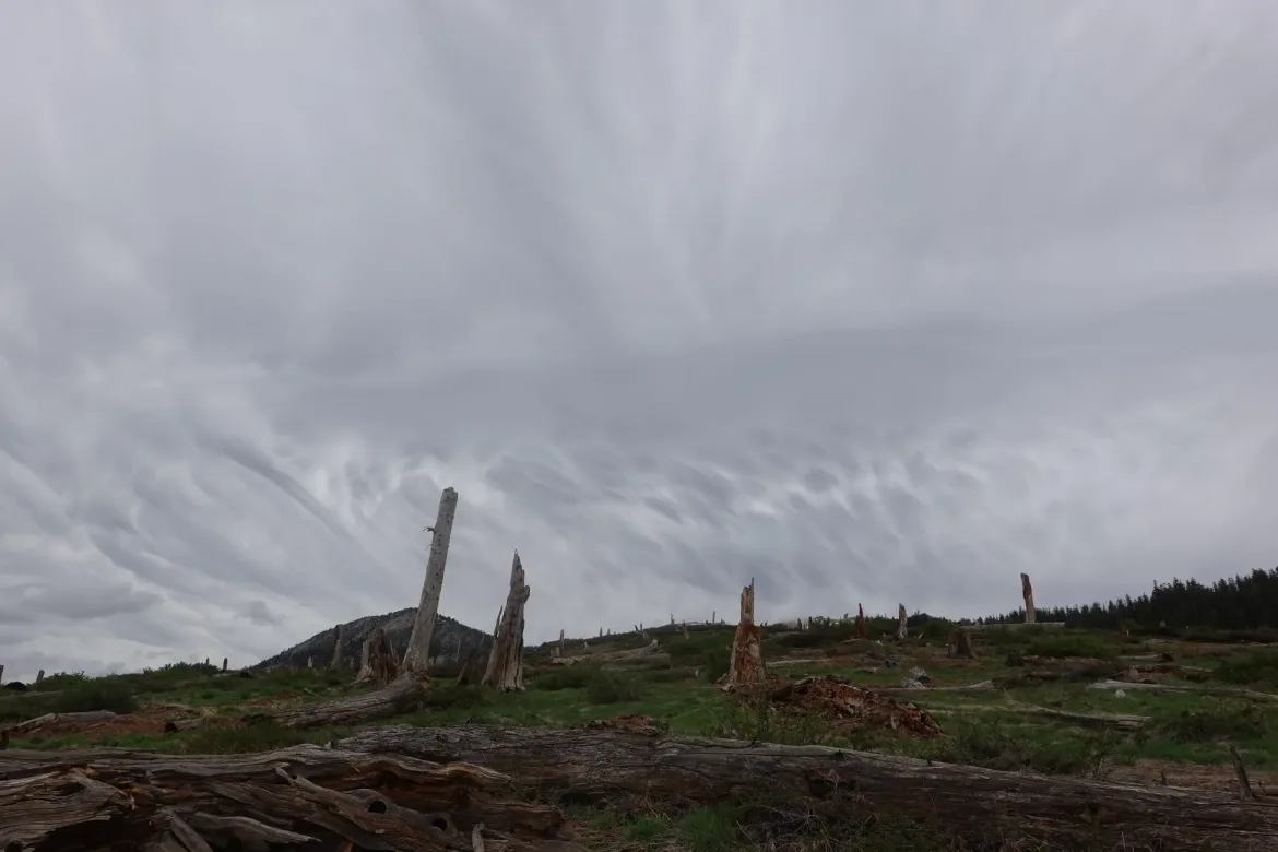
We passed through the national monument and joined the road for a couple miles to rejoin the PCT on the down trail side of the destroyed bridge. The bridge was definitely still gone. Look at the height of the bridge and water now, and it is hard to imagine what it looked like during snowmelt last year, considering snowmelt is peaking now for this year.
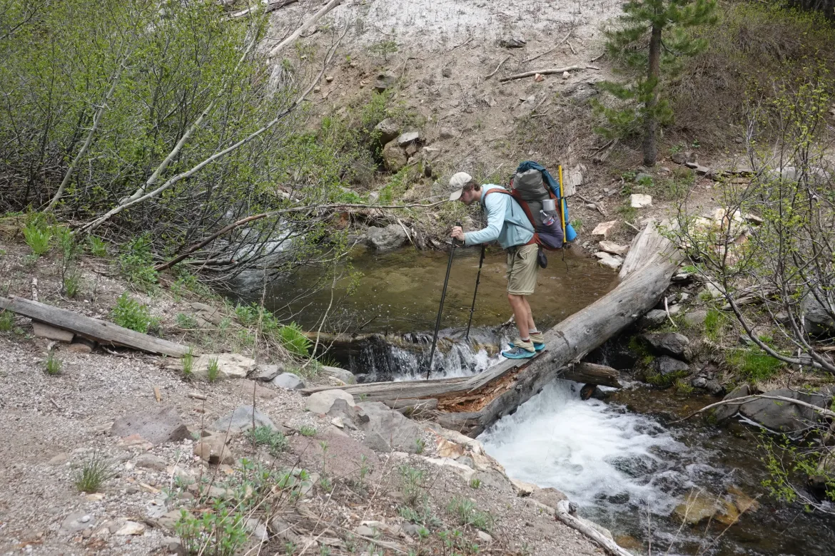
Walked along the river for a while which was pretty easy but not too inspiring before heading uphill across a ridge.
We had only 3 miles left to go for the day, but we were both getting pretty worn out from our packs. My legs were getting heavier, but it was all I could do to press on. I set a pace I could maintain and picked my way uphill. It went but slower than normal.
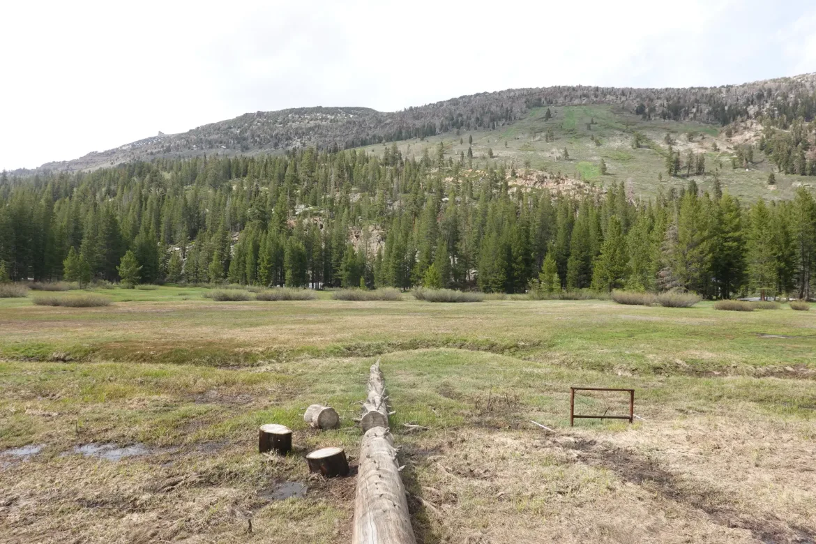
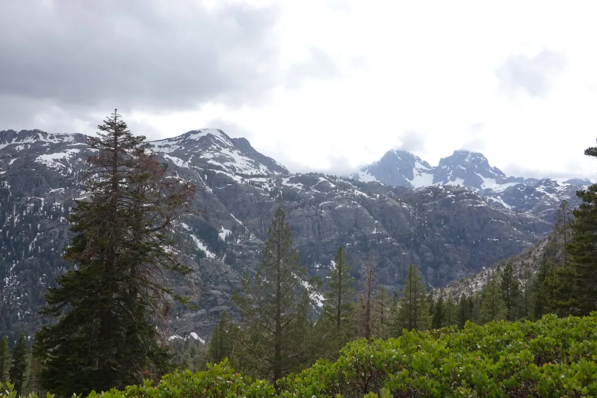
The trail passed open meadows, and there were some great mountains on the periphery, as well as the Mammoth ski slope. But I just put my head down and got through the miles. Sometimes it just has to be done.
I made it to our planned campsite. We had talked about going further earlier in the day, but that was no longer an option. I set my pack down and just vegged for a bit before starting my camp chores and eating the heaviest and bulkiest food I had. I didn’t eat much during the day which made my too large food supply even worse. I ate as much as I could for dinner and will have to work on it hard over the next couple days.
Today was so tiring near the end, even after the rest in town. I hope it is just the food weight which will go away soon enough.