
Day 60
Start: Kearsarge Pass and PCT intersection
Finish: Woods Creek
Daily Mileage: 13.7
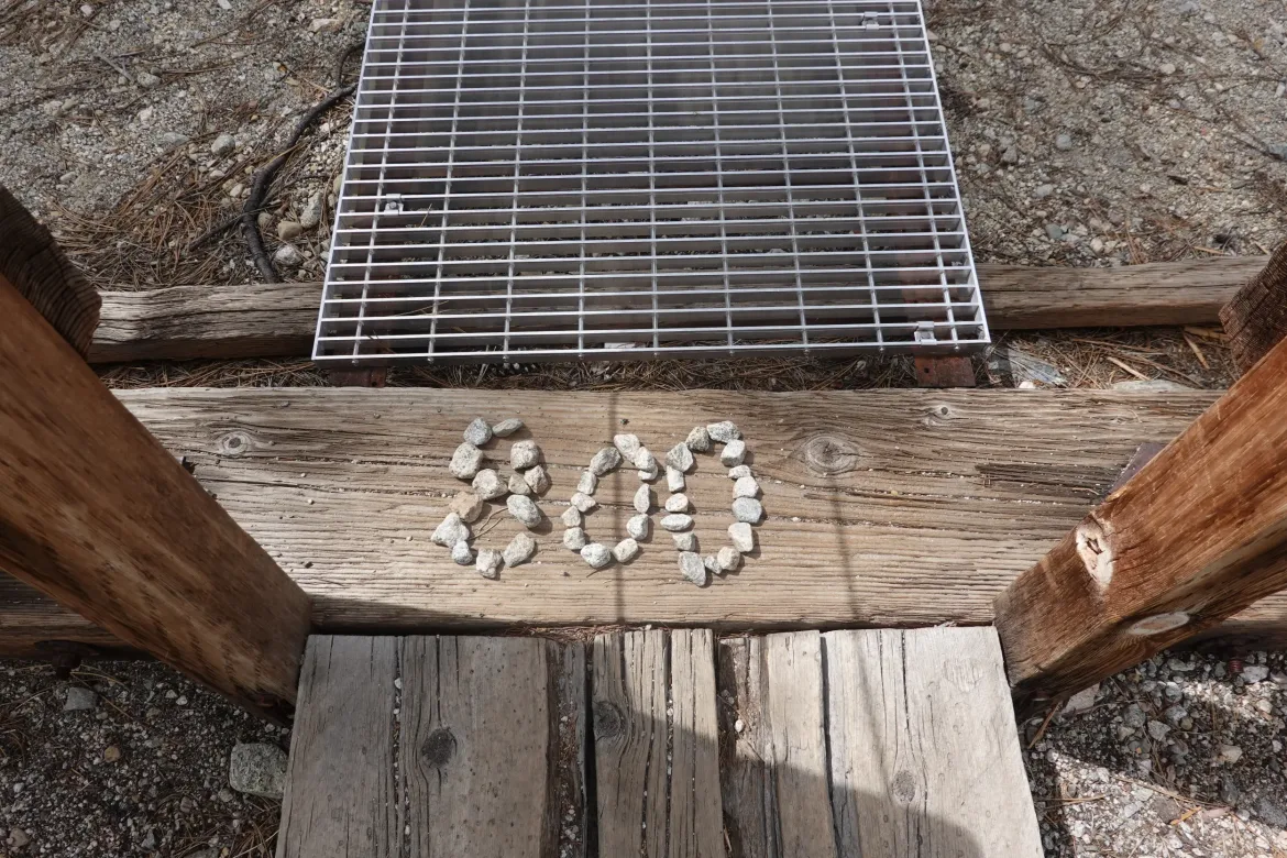
PCT Mile: 803.8
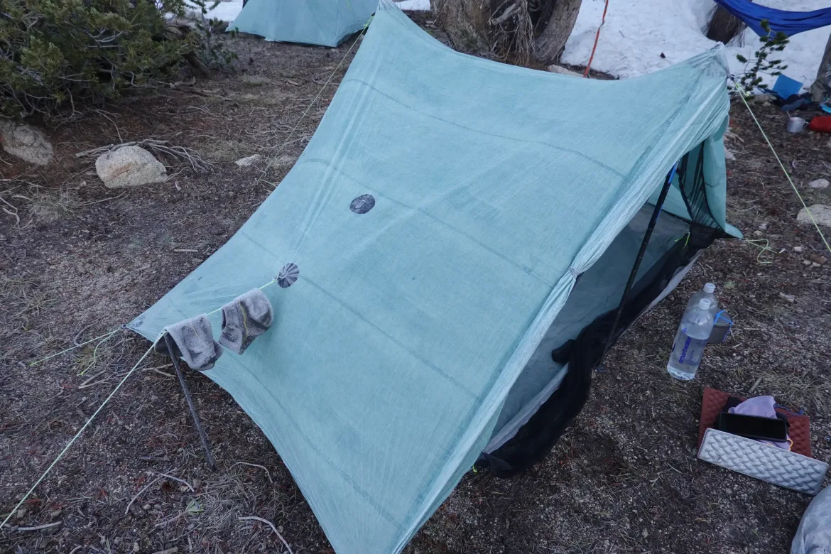
We woke up with our tents absolutely coated in frost; about the most I’ve ever seen on a tent. Inside, outside, everything was frosted thick. Shaking out my tent, a snowball’s worth ended up in the corner of the tent, and that’s the stuff that didn’t go out the door. Wrapped up or frozen stuff to deal with later in the day. We had a pass to climb and our 6am start time was here.
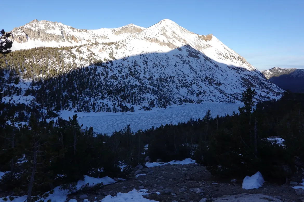
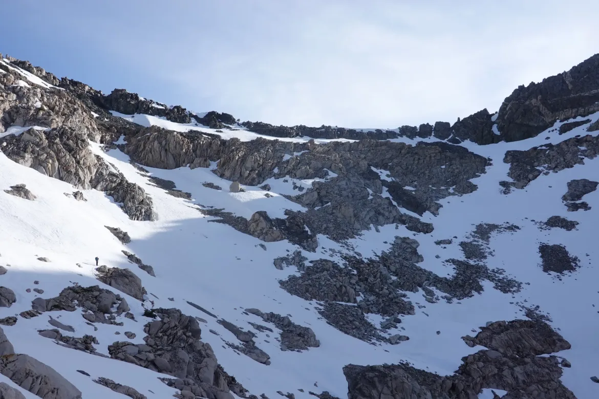
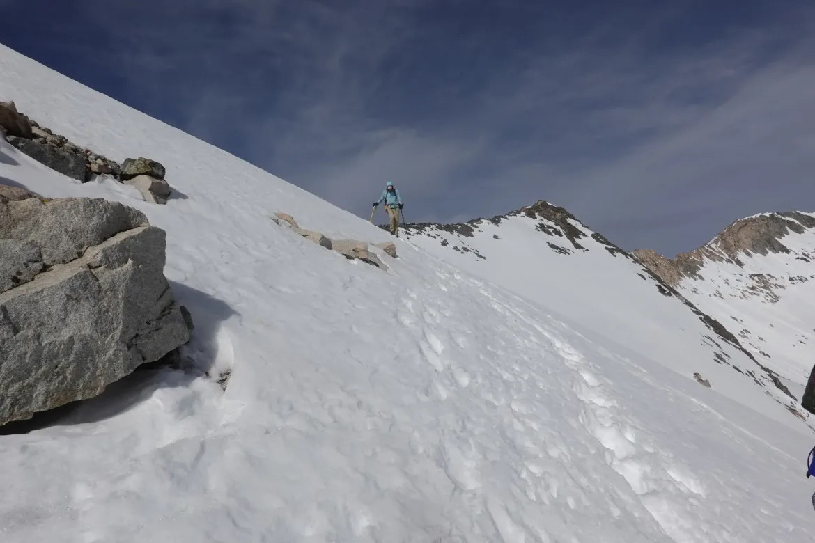
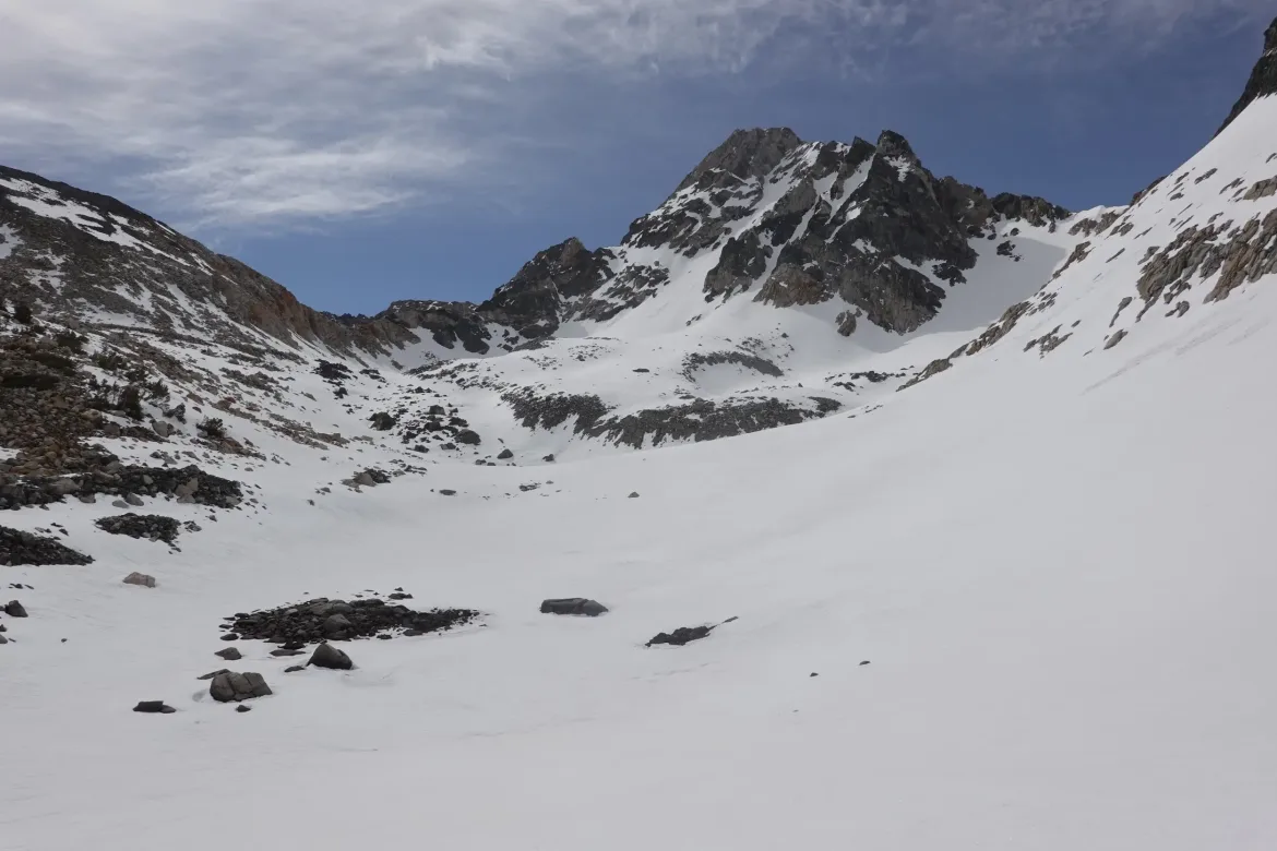
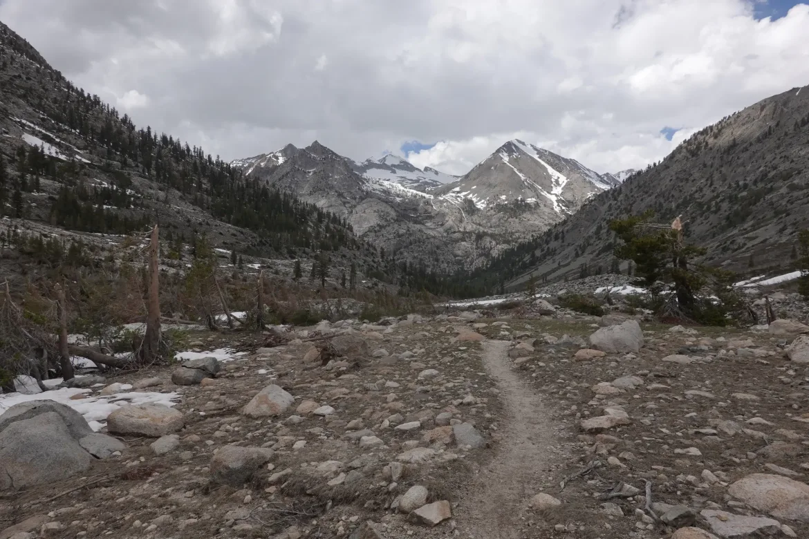
Glen Pass came into view, and bootpath did a wide circuit around the valley which helped it gain some height on the pass. Then we could see the bootpath going straight up the pass. We all put on our crampons for the climb. Not sure we needed them with the bootpath, but we had them so why not be safe.
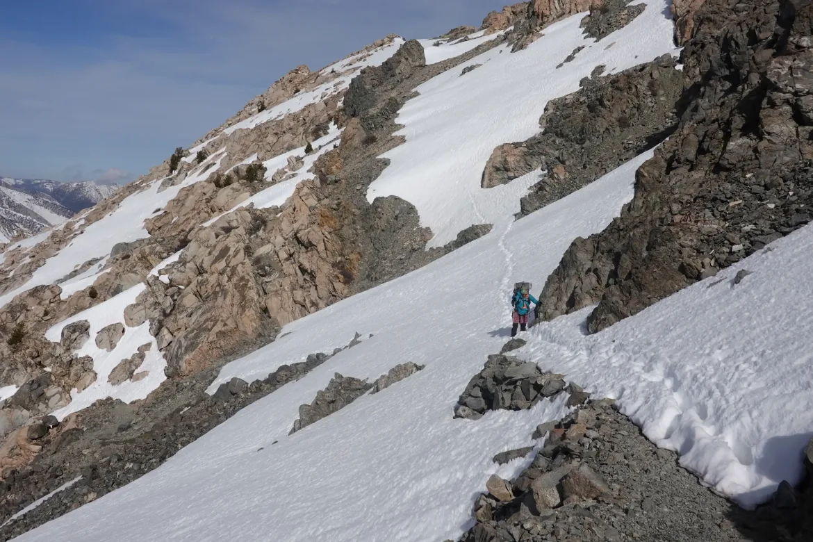
The bootpath turned out to be very good, with solid steps with even spacing and very little chance of slipping. Glen is supposed to be one of the more difficult passes in the snow, but we cruised right up it. It would have been another story if the bootpath hadn’t been there, but we probably would have been alright, just taken longer.
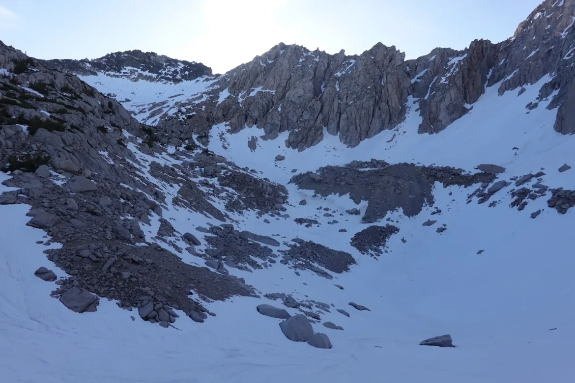
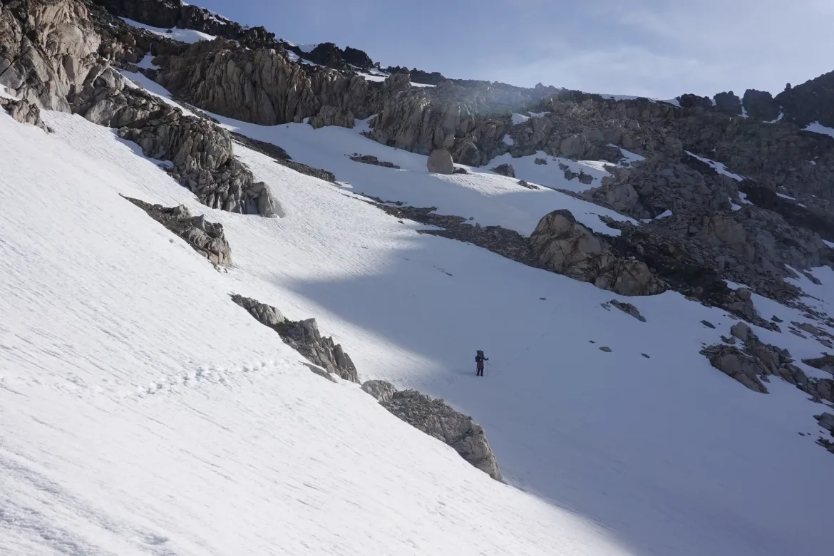
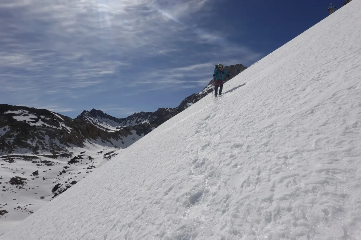
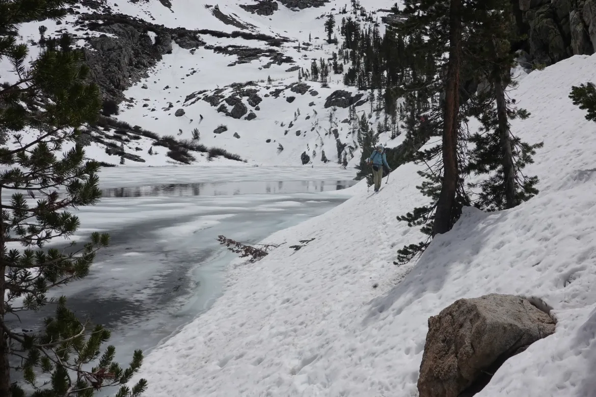
Once again, at the top of the pass there was no time to stop and take a break. It was 8:30am, and the snow was on its way to softening. Then north side of Glen is supposed to be more difficult since it’s steeper. It definitely was, since it curved out of sight and you couldn’t even see down it.
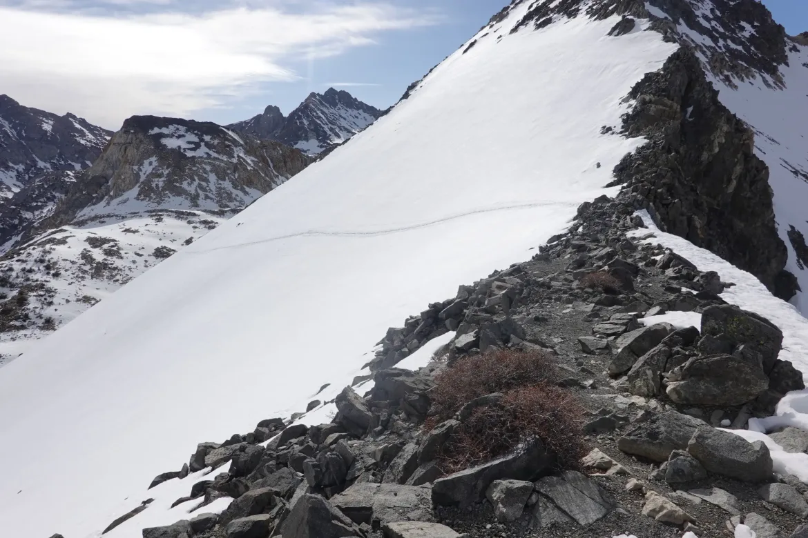
Once again, the bootpath saved us. The path traversed under the pass to a ridge which was the shallowest possible descent. I was hoping the bootpath would go exactly there and it sure delivered. Great steps all the way down too, and then it was in the bag. Hard part’s over, right?
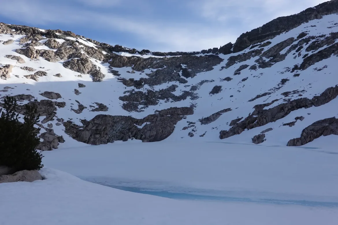
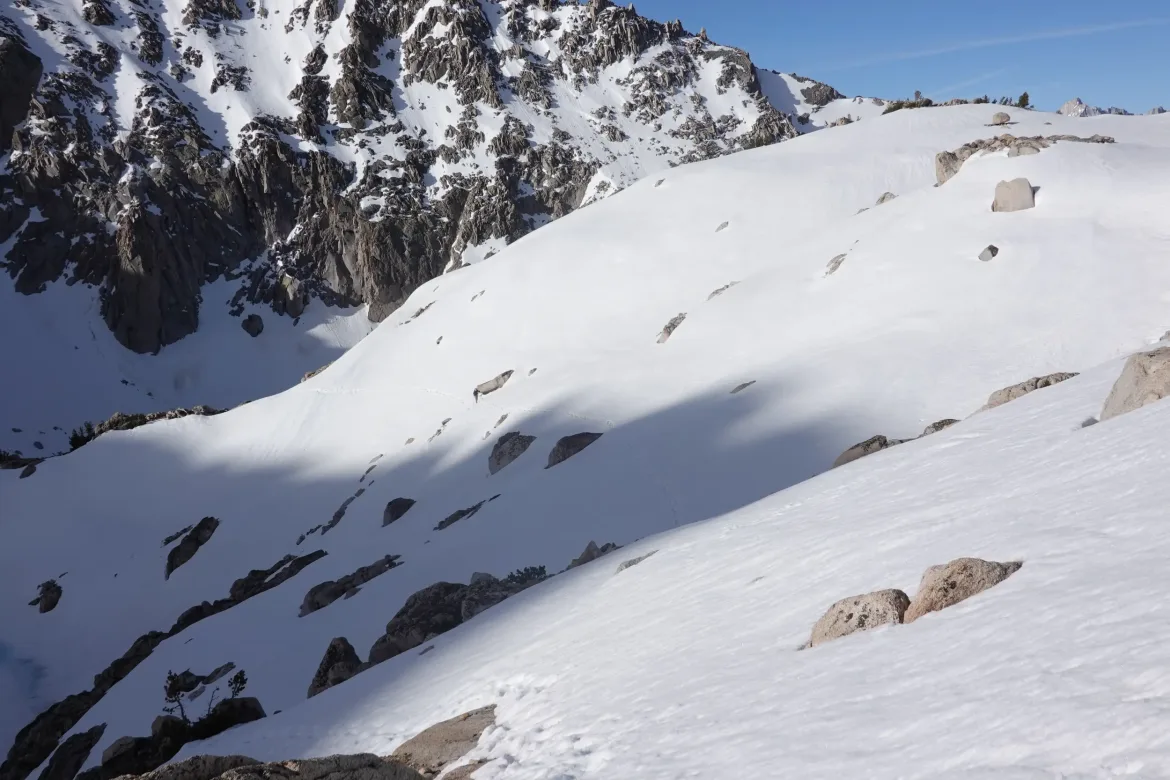
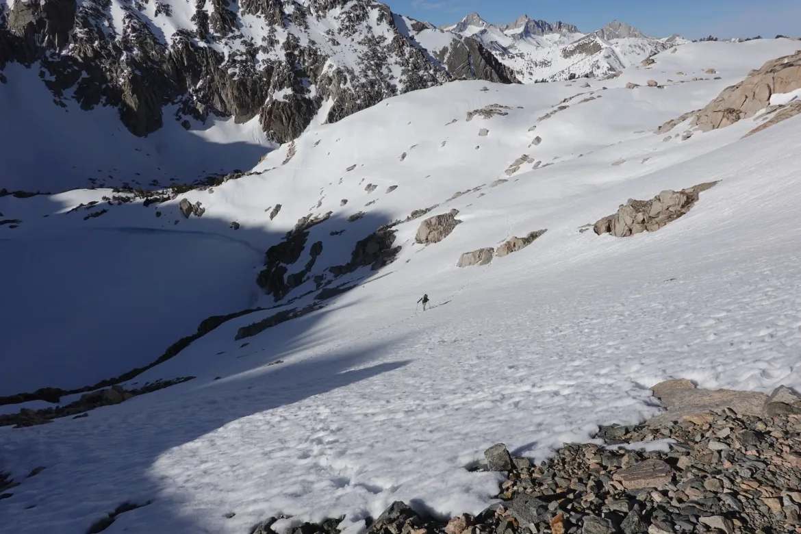
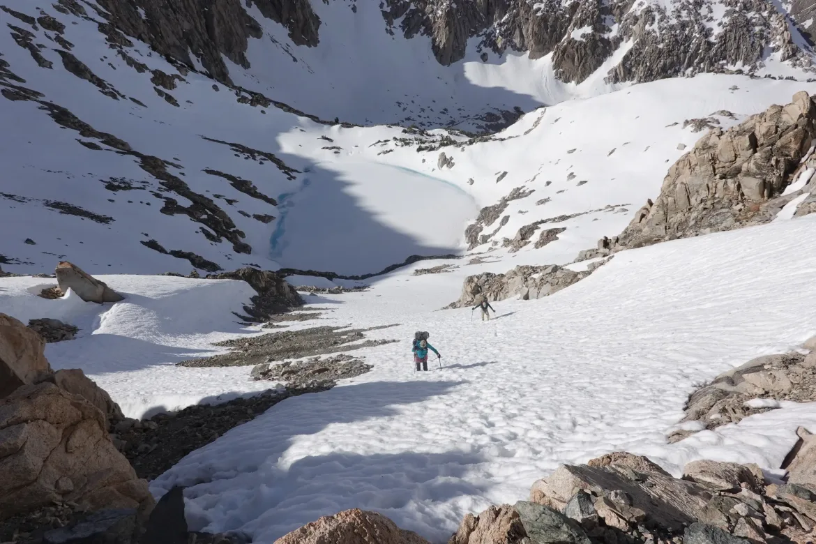
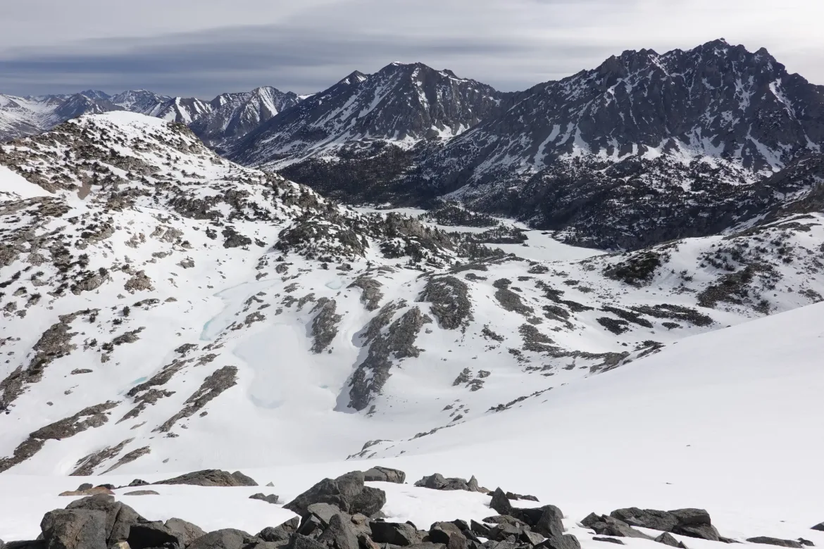
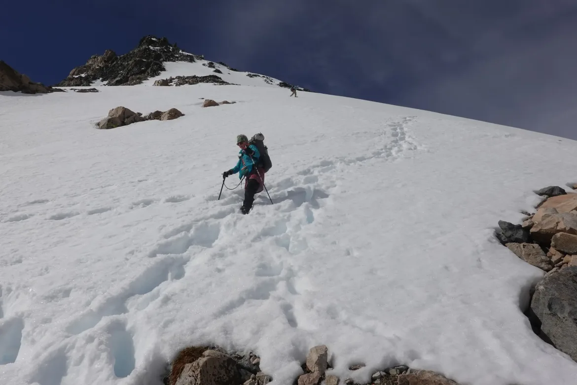
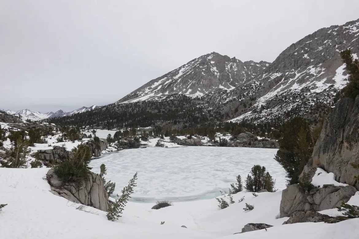
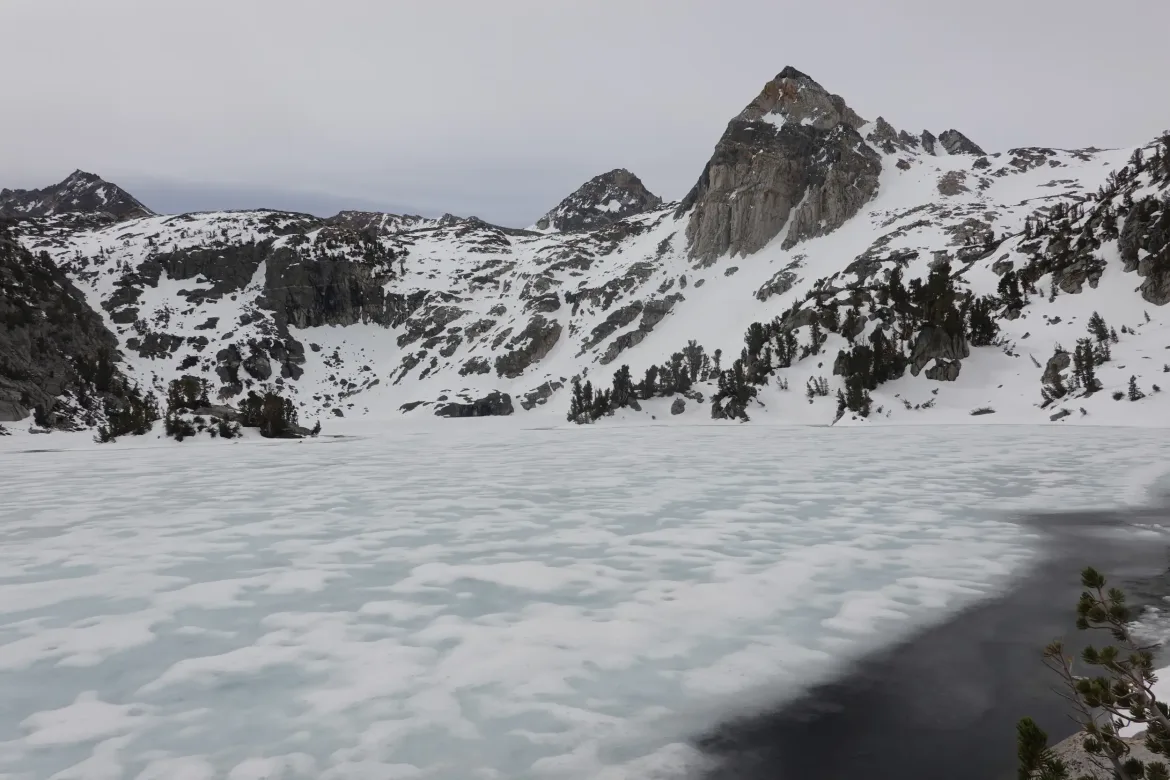
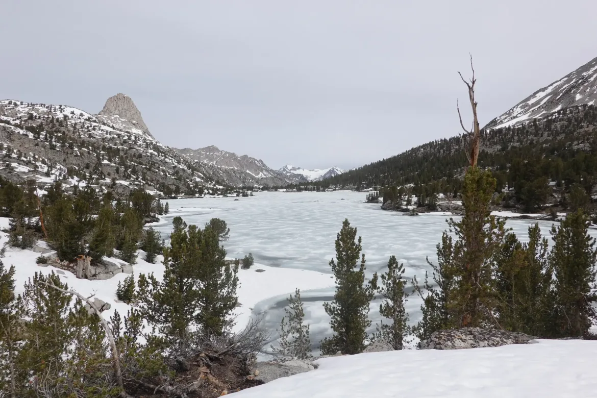
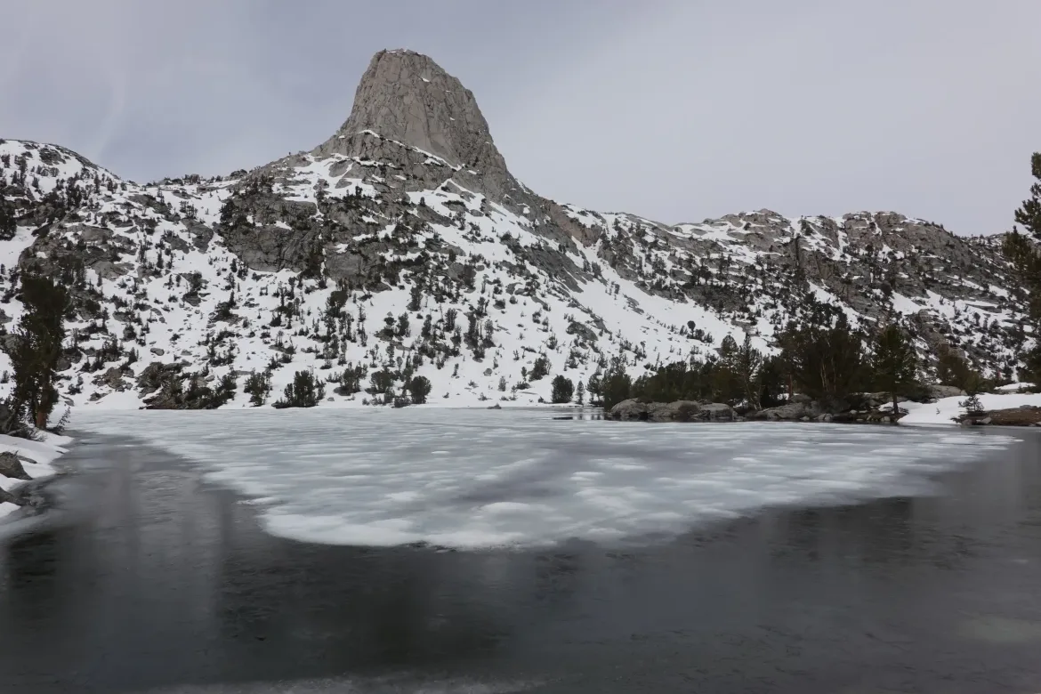
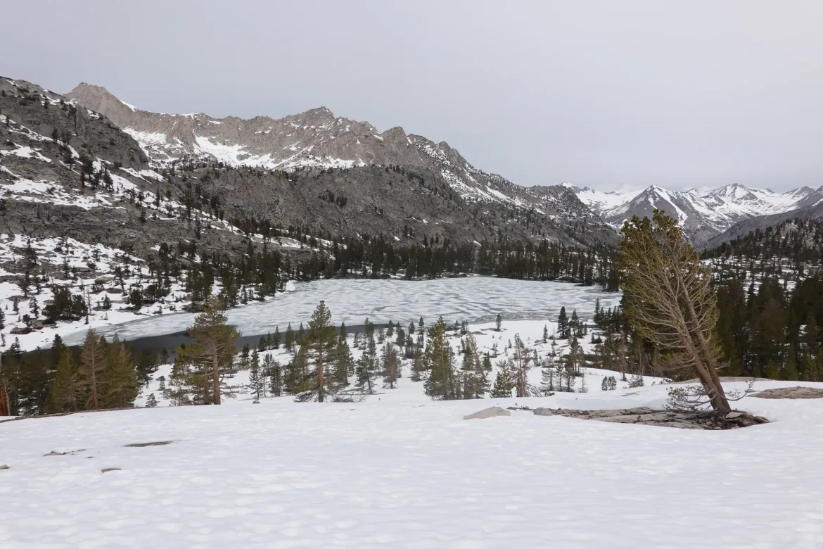
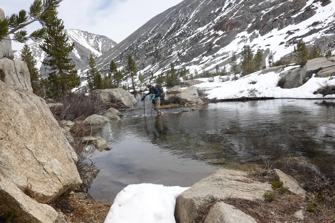
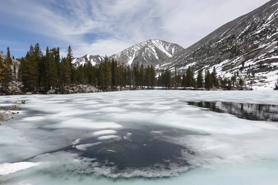
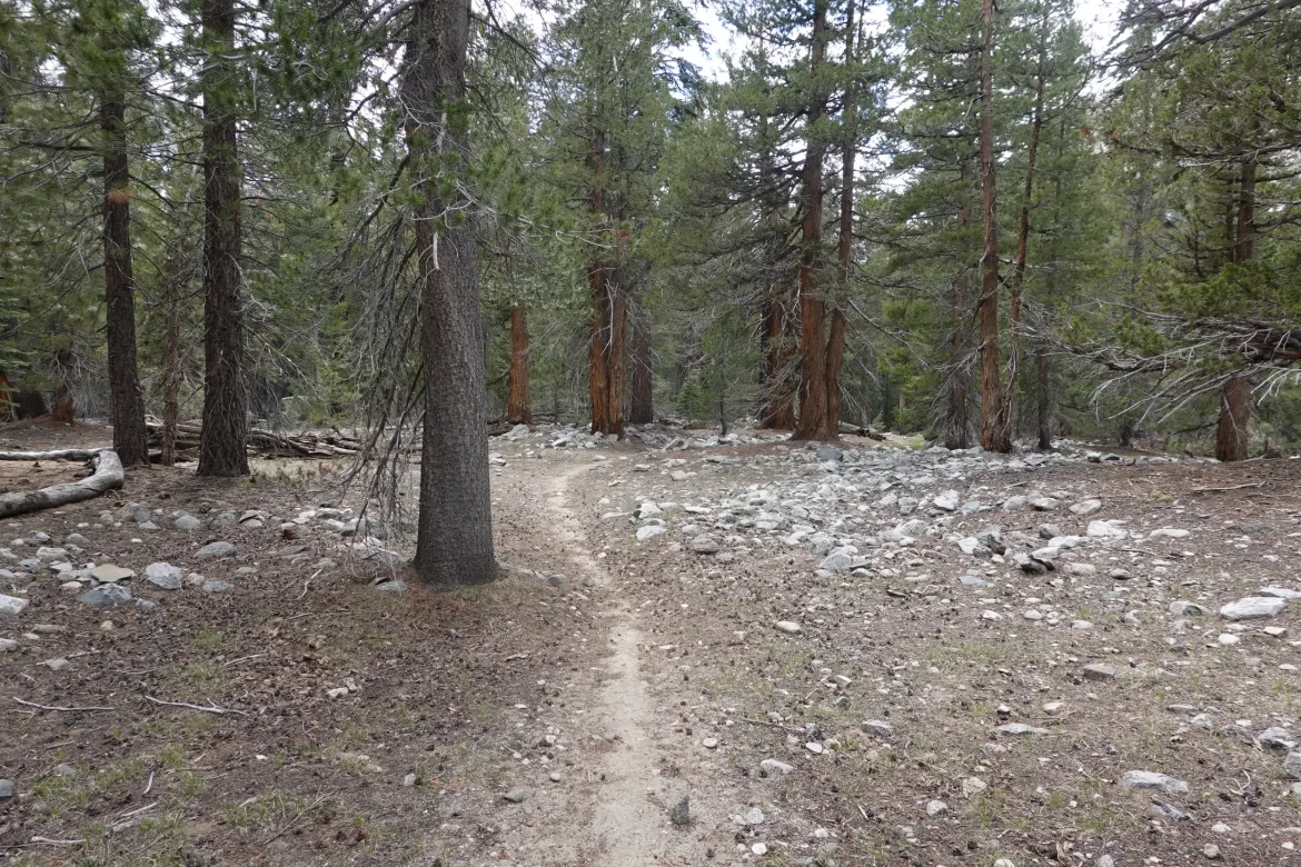
We crossed a stream between a couple of the lakes and got our feet slightly wet. After crossing, it looked like the far bank would be snow free for a while, but the trail went up above the lake to make sure we stayed in snow. We couldn’t see the lakes most of the time, and were just focusing on our feet in the snow. This was a totally different experience than after Forester Pass which I loved with its easy snow travel. This route made you work for every step.
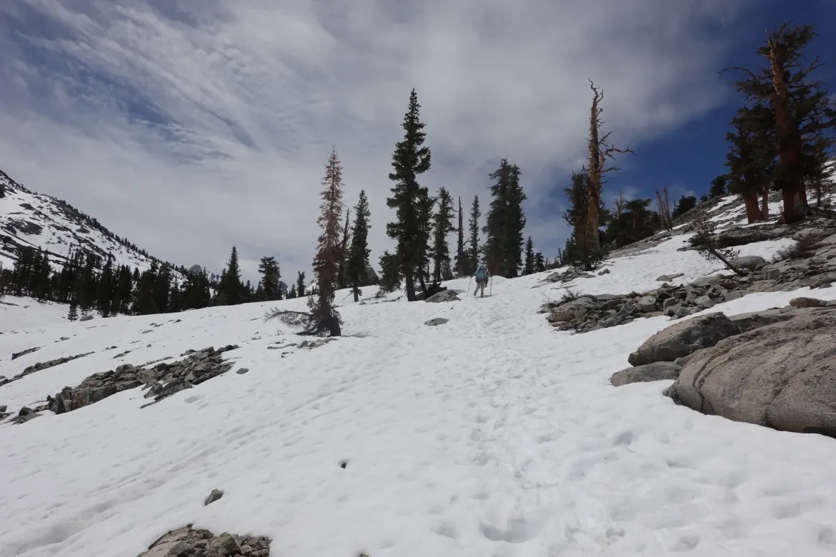
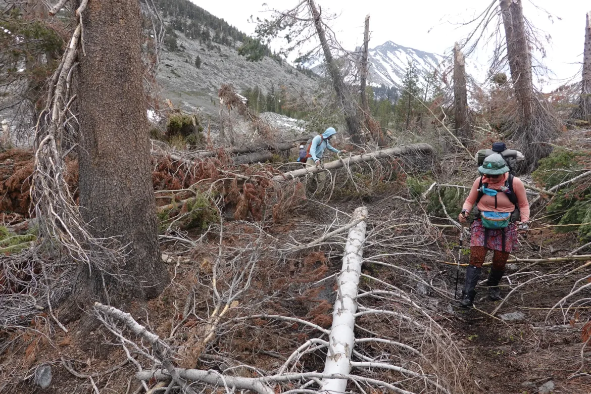
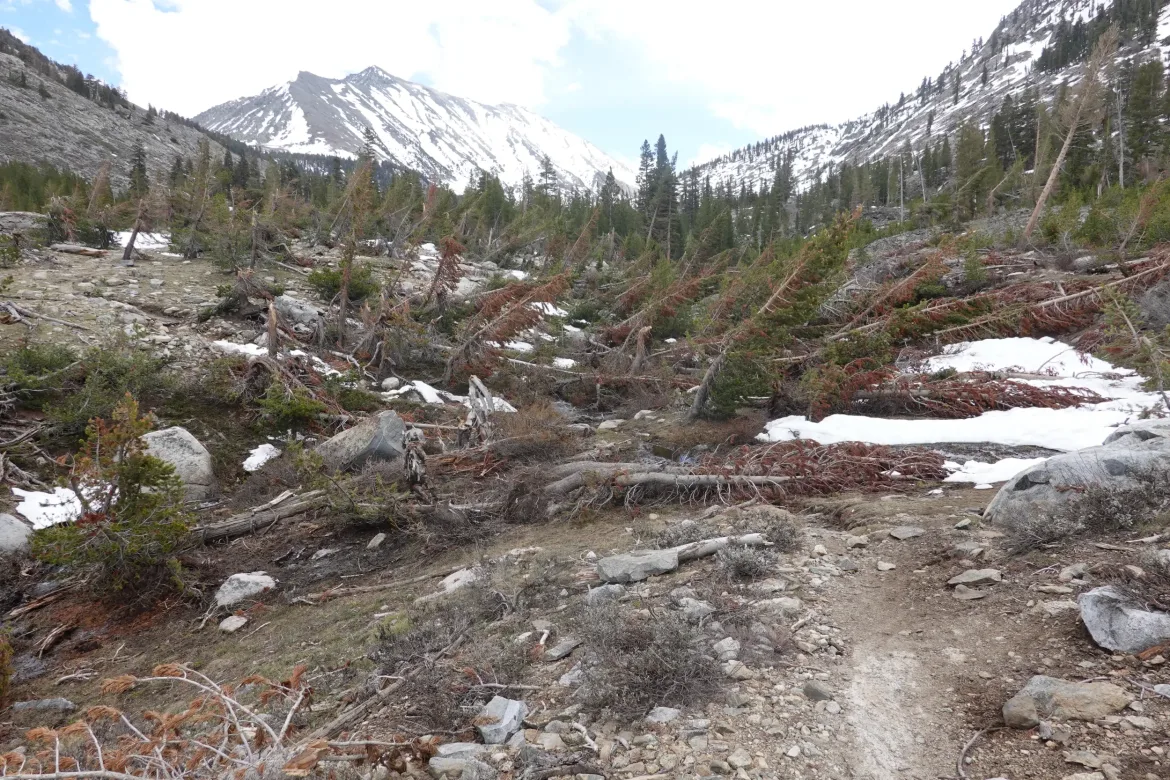
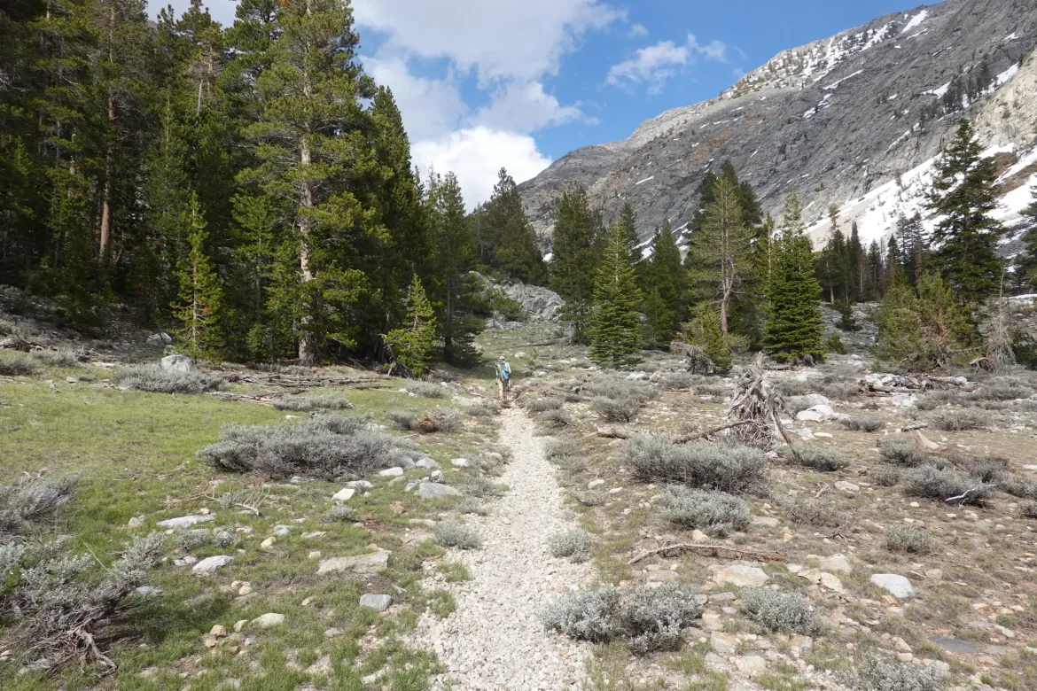
Well, the snow did disappear for the most part, but we entered a big area where almost every tree had been snapped off or uprooted. It didn’t look quite like an avalanche since I couldn’t see where it would come from, so maybe a strong storm. The trail was a jungle gym of broken trees that maintainers hadn’t dealt with yet. After crawling through these a bit, and me taking a good fall onto my butt, we climbed to a higher bench where there were no trees and surfed that for a while until the maelstrom died down.
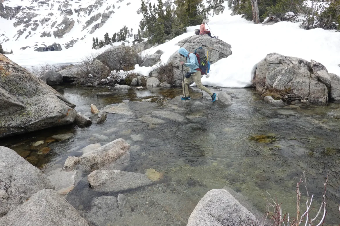
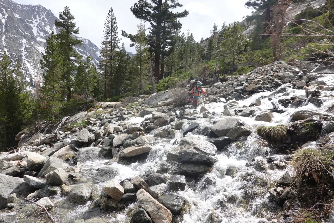
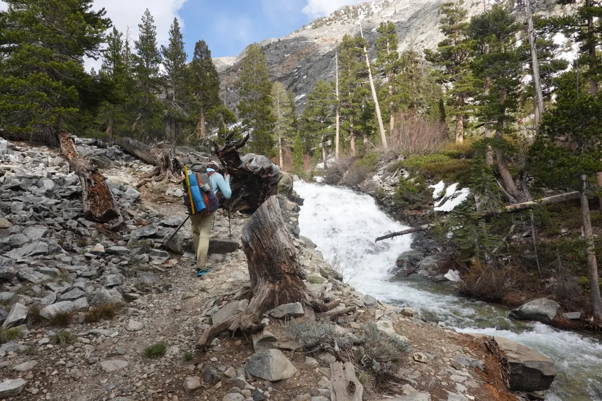
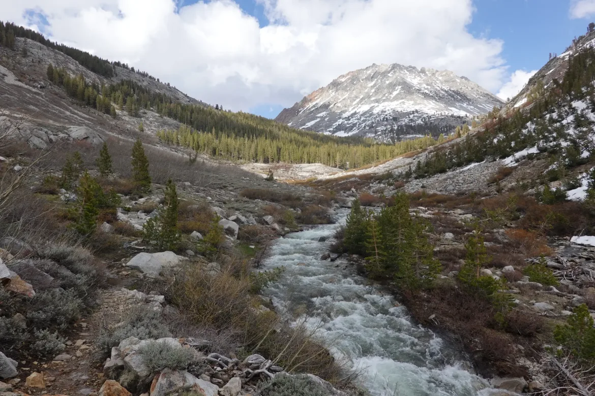
We also started running into a lot of creek crossings. We decided to just take the plunge and get our shoes wet since there were supposed to be quite a few of these today. That turned out to be a good choice since there was no way we would have kept our feet dry.
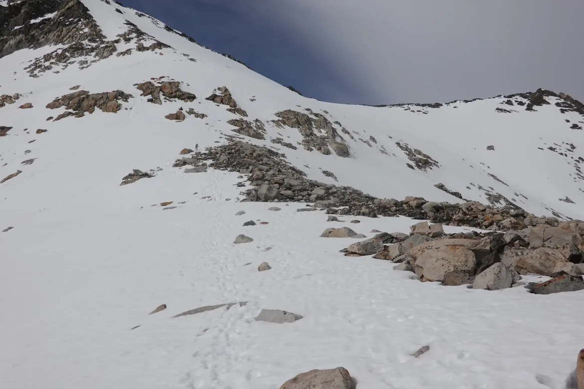
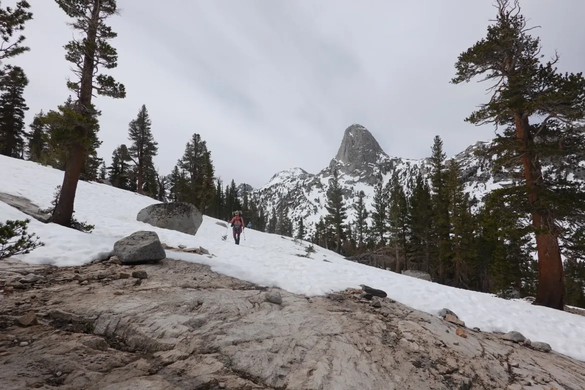
With all of our obstacles, it took us far longer to finish the descent that we figured. We finally made it to the junction of valleys where we would leave our downhill valley and travel up another, heading towards Pinchot Pass along Woods Creek. It was a 3,500 foot climb, and I wanted to knock some of that out today to make it more bite sized. We decided to go up 3 miles and camp before the snow started again.
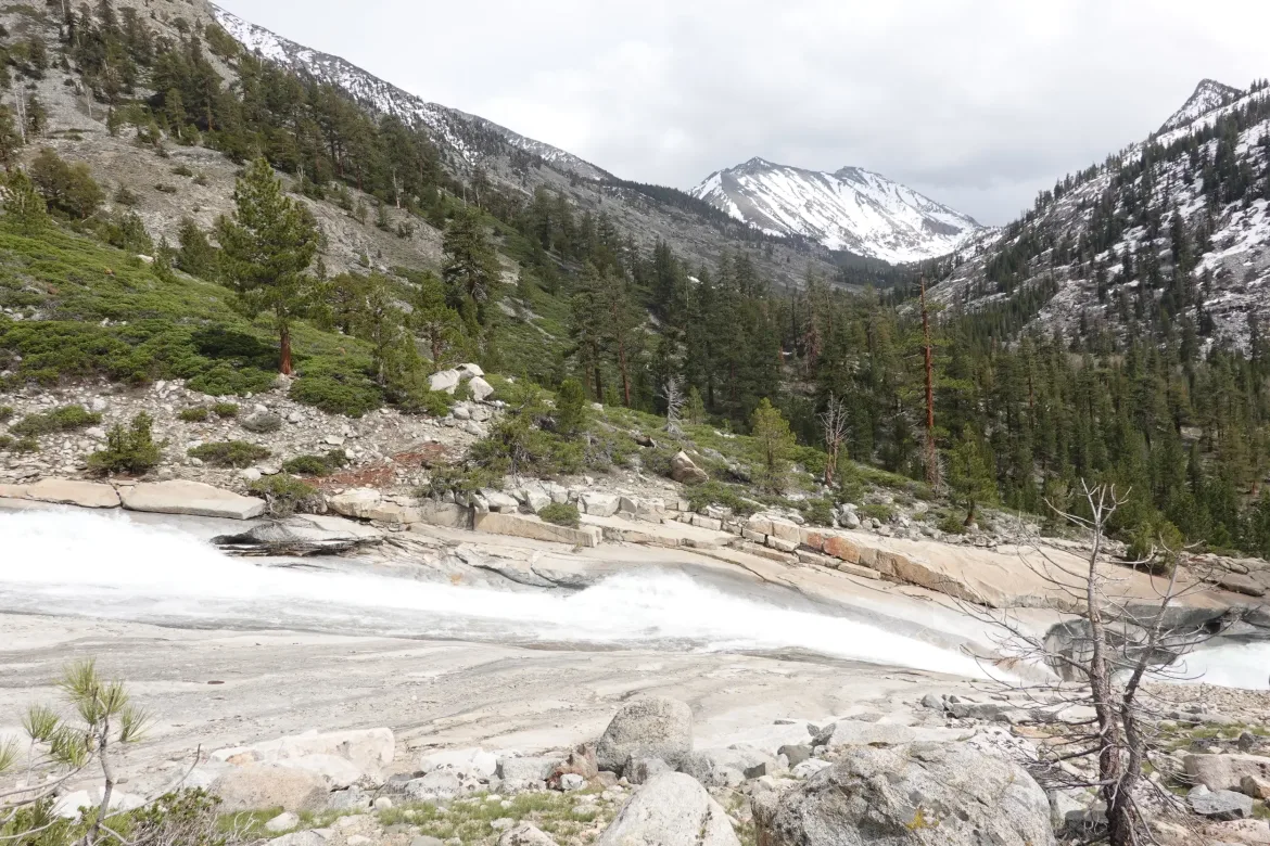
The creek had to be fed though, and we definitely saw how by crossing tributary after tributary. Many were knee deep or slightly deeper depending on where you crossed. They were all crossable though and we just plunged straight through them. On one, a log collapsed under me that I was using as a brace and I went in up to my thigh, but I already had forward momentum and got right out.
We continued upwards, and at long last made it to our campsite. 11 hours of hiking to cover 13.7 miles of trail. We were all utterly exhausted and spent, and very glad to be done for the day.
It turned colder and windy at our camp, so we couldn’t even enjoy our dinner. We just did our chores and headed straight off to our warm sleeping bags.
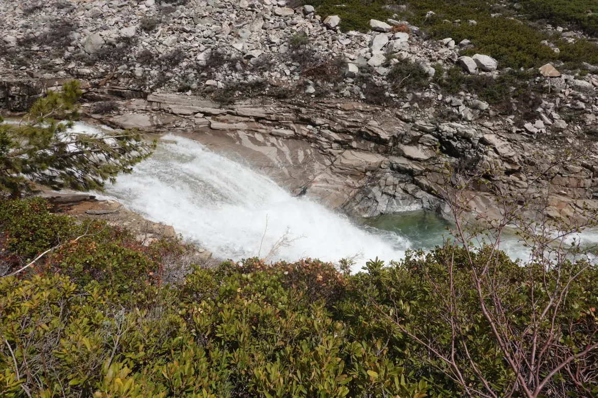
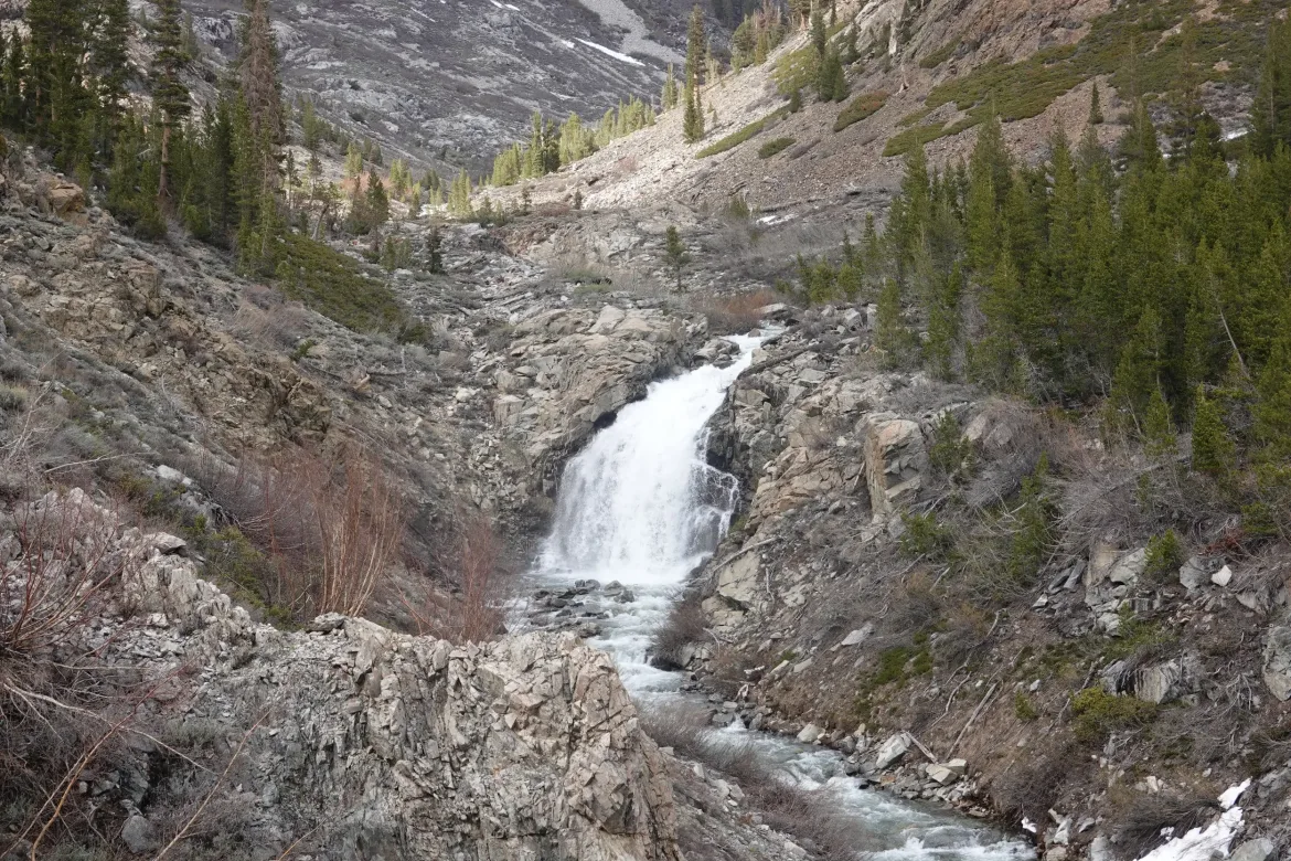
Today was exhausting, but there were some good points like the easy summit of Glen Pass, thundering Woods Creek, and the alpine lakes we passed, but those were hard to compete against the work required to see them.