
Day 51
Start: Kennedy Meadows South
Finish: Olancha Peak
Daily Mileage: 19.6
PCT Mile: 723
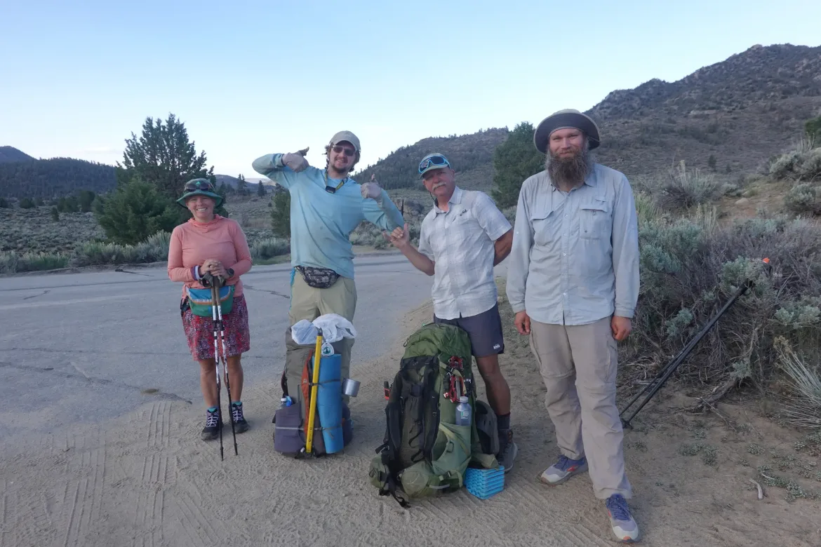
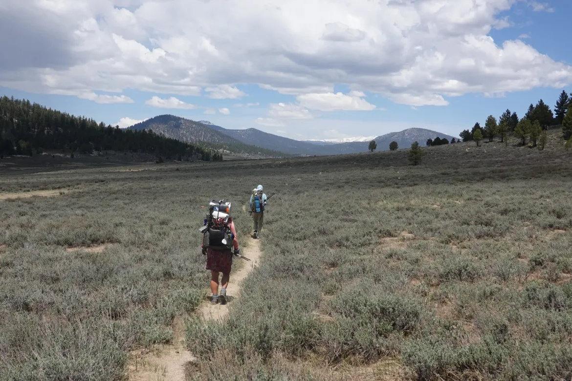
Today was the day. After much wondering about conditions, snow levels, creek levels, ice, snow free camp spots, etc., we were finally heading into the Sierra proper today. Lou, Lanyard, Cookie Monster, and I caught a shuttle back to the trail at 7 after a wonderful stay at Grumpy Bear’s. Another hiker, Clive, caught the same shuttle as well. We were dumped off at the trail, and it seemed reasonable the Clive would tag along with us as well for the time being.
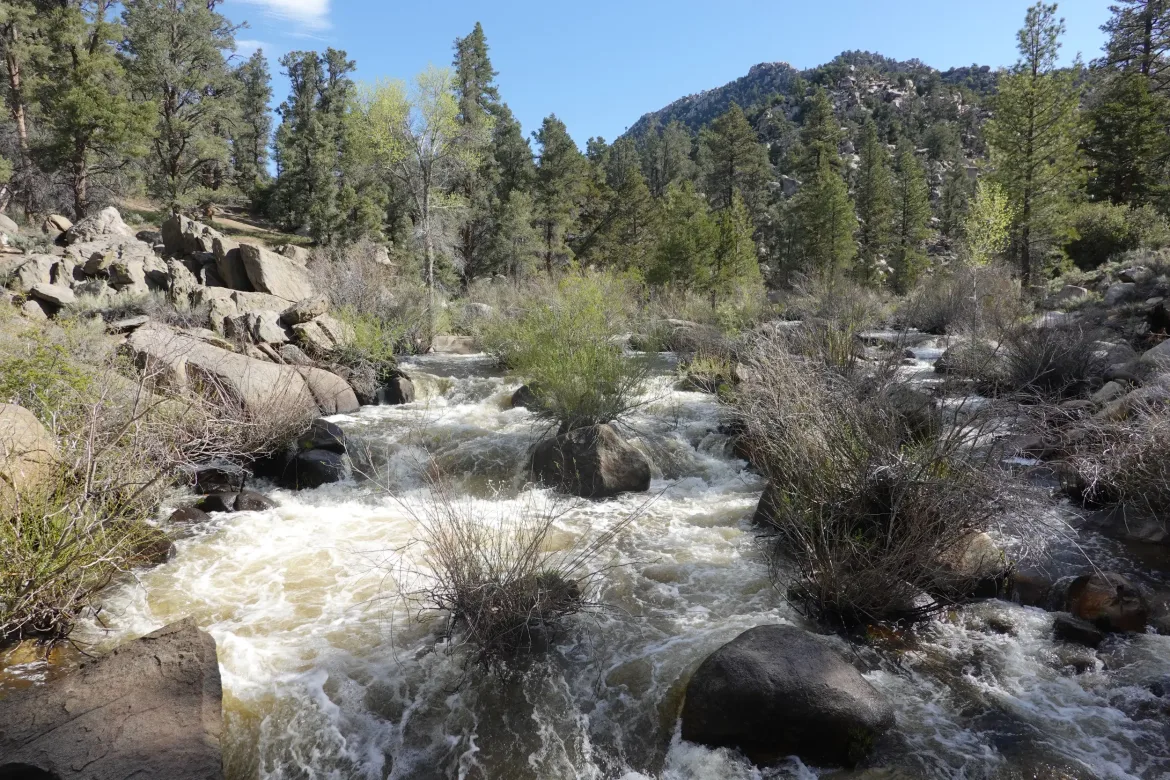
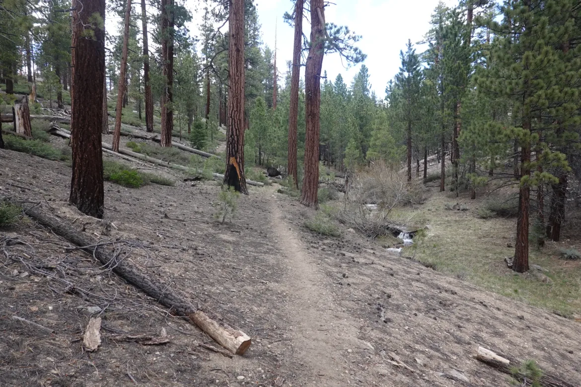
We started up the trail following the Kern River through a shallow valley. The trees were making more and more purchase as we progressed, and it is feeling a lot more like we are traveling through forest with a side of desert now instead of primarily desert.
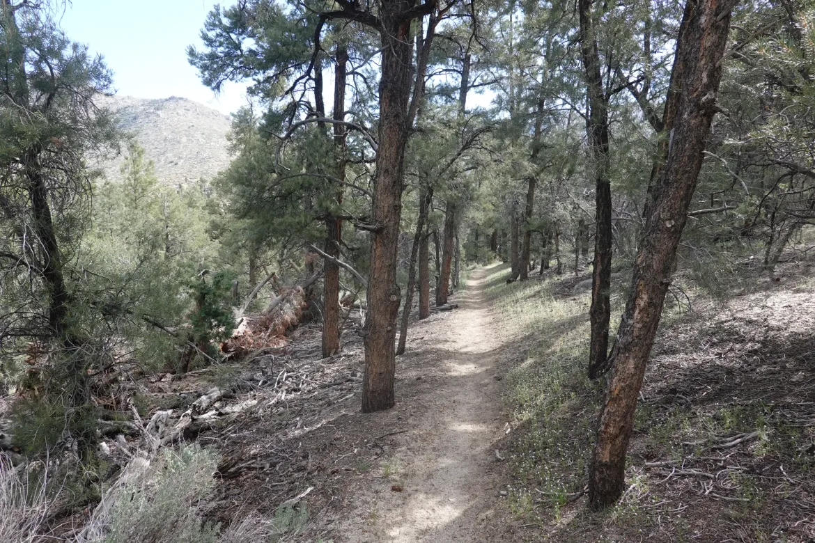
The forest really closed in as the valley narrowed, and it really began to feel like we were in the forested mountains, and that the terrain had changed for good. Really pleasant walking. Soon after crossing the river on a bridge though, we entered a burn area where the desert vegetation had once again taken hold. It seems difficult for the forest to come back after the fires, unfortunately.
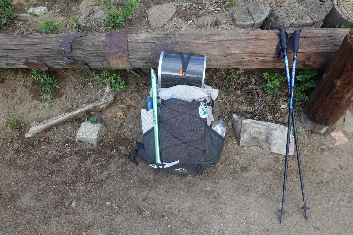
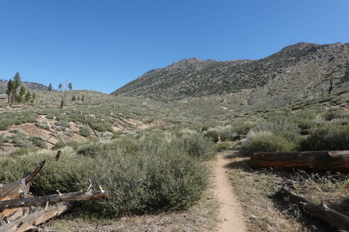
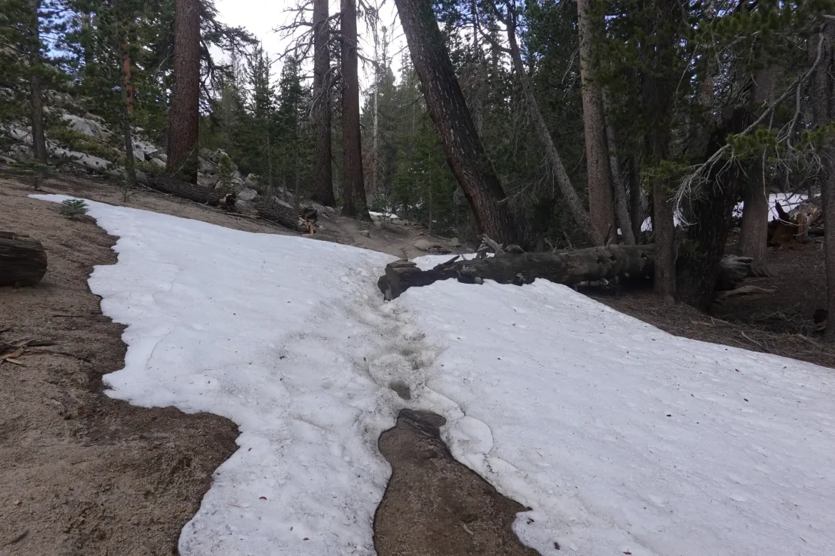
We climbed up a couple thousand feet in the open and sunny burn area. At least we were paralleling a flowing stream. In fact, there was water within a mile or two for the entire day today which was fantastic. I never carried more than a liter or so. With our heavy packs stuffed with snow gear, bear cans, and 8 days of food, everything helps.
My pack was definitely weighing on me during the climb. I couldn’t weigh it, but I think it is around 35 lbs. It is extremely top heavy though with my bear can on top since that is the only place it will fit well. That makes it incredibly awkward and wears on my shoulders more. To combat that, I wrenched down on my hip belt and loosened my shoulder straps to try to shift the weight around, which appeared to work.
I powered up the climb to a pass, vowing to not take my pack off until I got there. It was tough towards the end as my shoulders were still complaining, but I made it and shed my load at a campsite in the forest at the edge of the burn area.
When I went to sit down, however, I felt a pain in the top of my left quad. I hadn’t felt anything walking, but just sitting down it felt tight and there was some pain. I have no idea what happened except maybe I tightened my hip belt too much which threw something off, or maybe I powered up the climb too hard. I’m not sure exactly what is wrong, but it isn’t much pain, so probably not something too bad.
We had lunch and heard that Lou decided to turn around and head back. His pack was the heaviest heading out of Kennedy Meadows, and his hip was bothering him, so he decided it would be best to not press on, unfortunately.
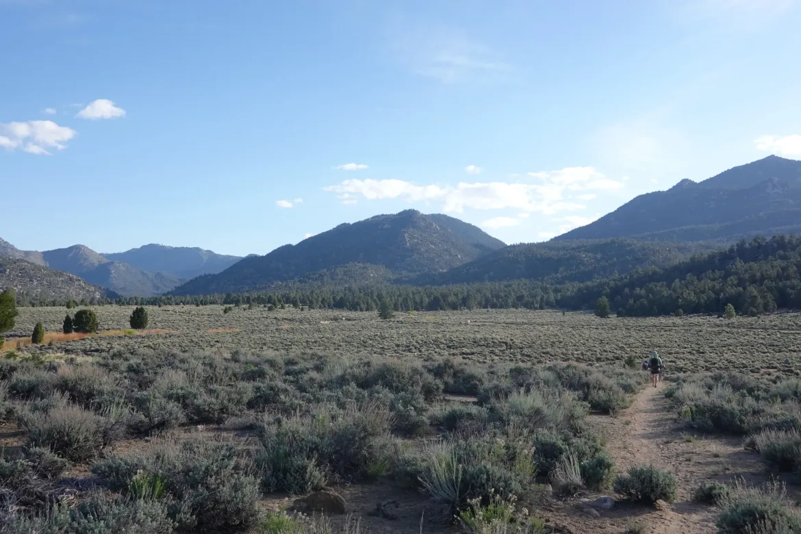
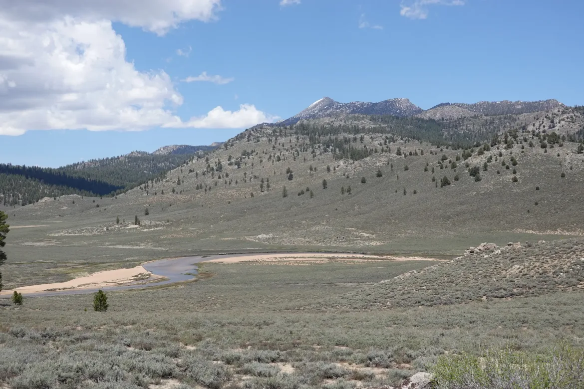
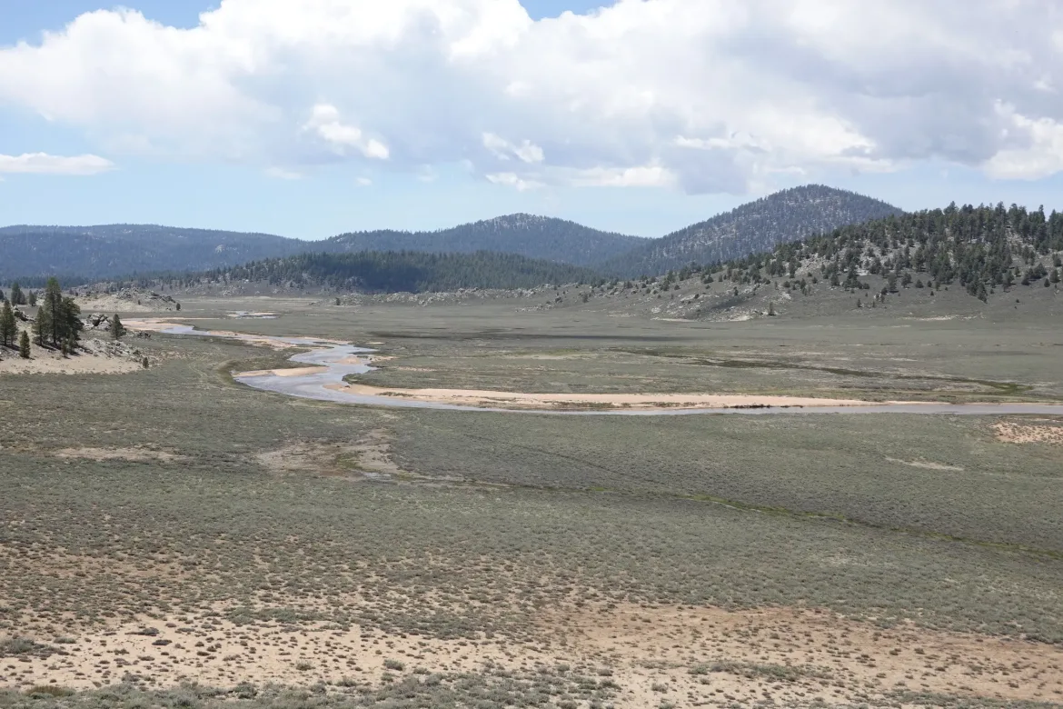
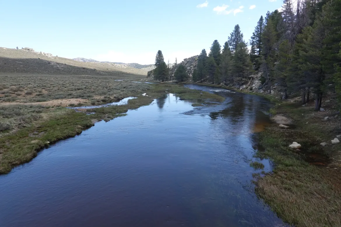
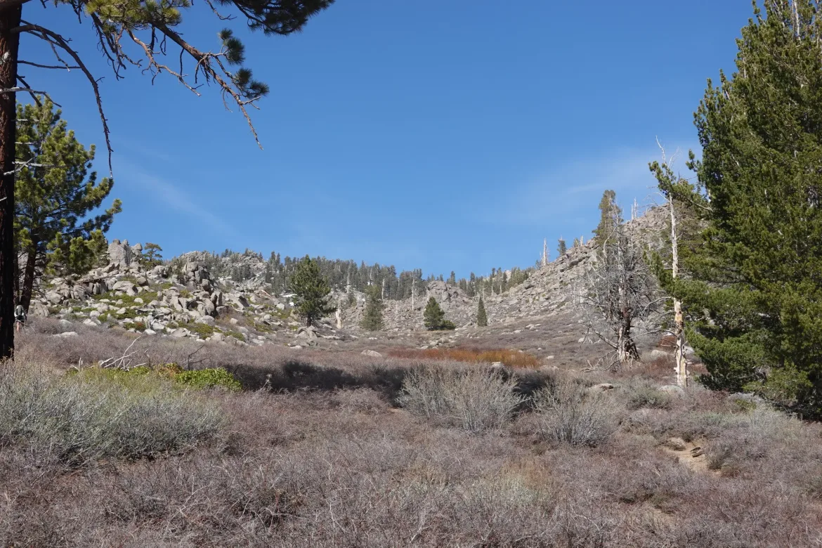
We resumed our walk and quickly came to the edge of a large meadow. Though it could be seen as similar to a burn area, it had a completely different feel to it. The whole bottom of the valley was open and surrounded by forested mountains, and it was a spectacular sight. It had a serenity and sense of belonging to it that is absent in the burn areas.
Unfortunately, we kept to the edge of the meadow and headed back up into the forest around the side of the meadow instead of walking straight down it.
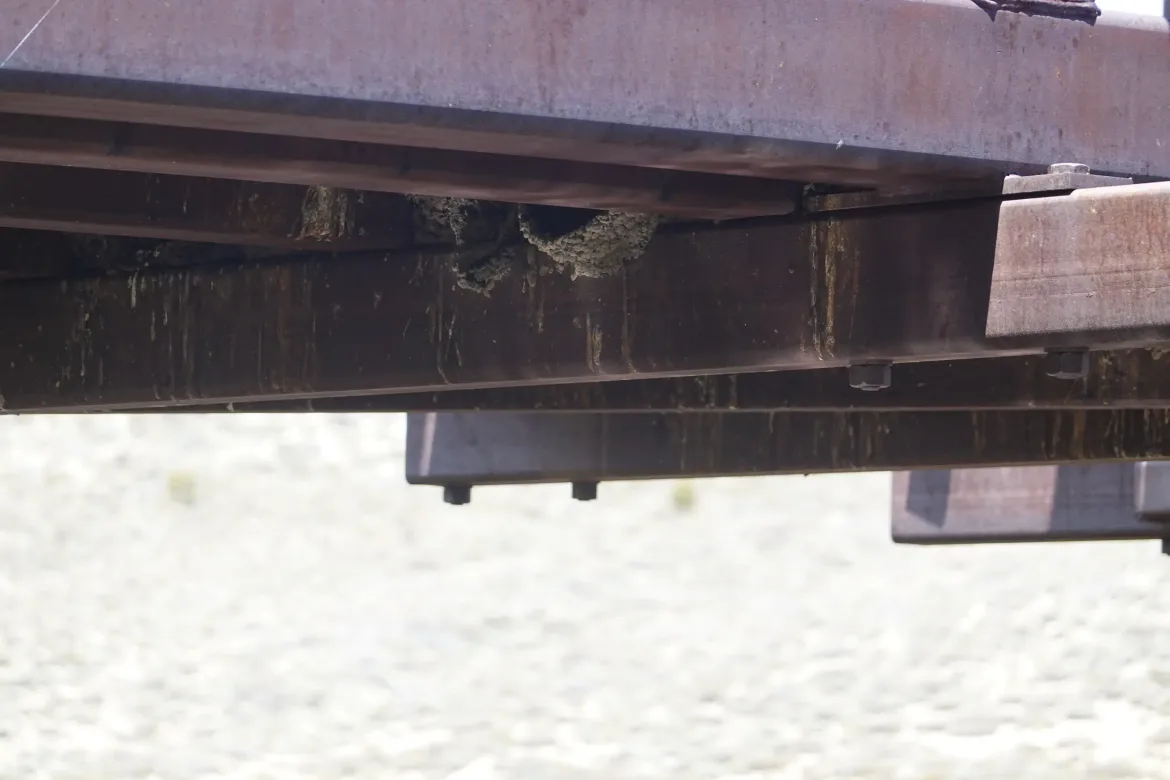
After a couple miles in the forest, we regained the meadow to cross the south fork of the Kern River on a bridge. There were hundreds of swallows nesting under the bridge, and they made quite a scene abandoning their nests when we discovered them and circling the sky. We took an unplanned break enjoying the birds, river and meadow, immersed in the peacefulness of nature.
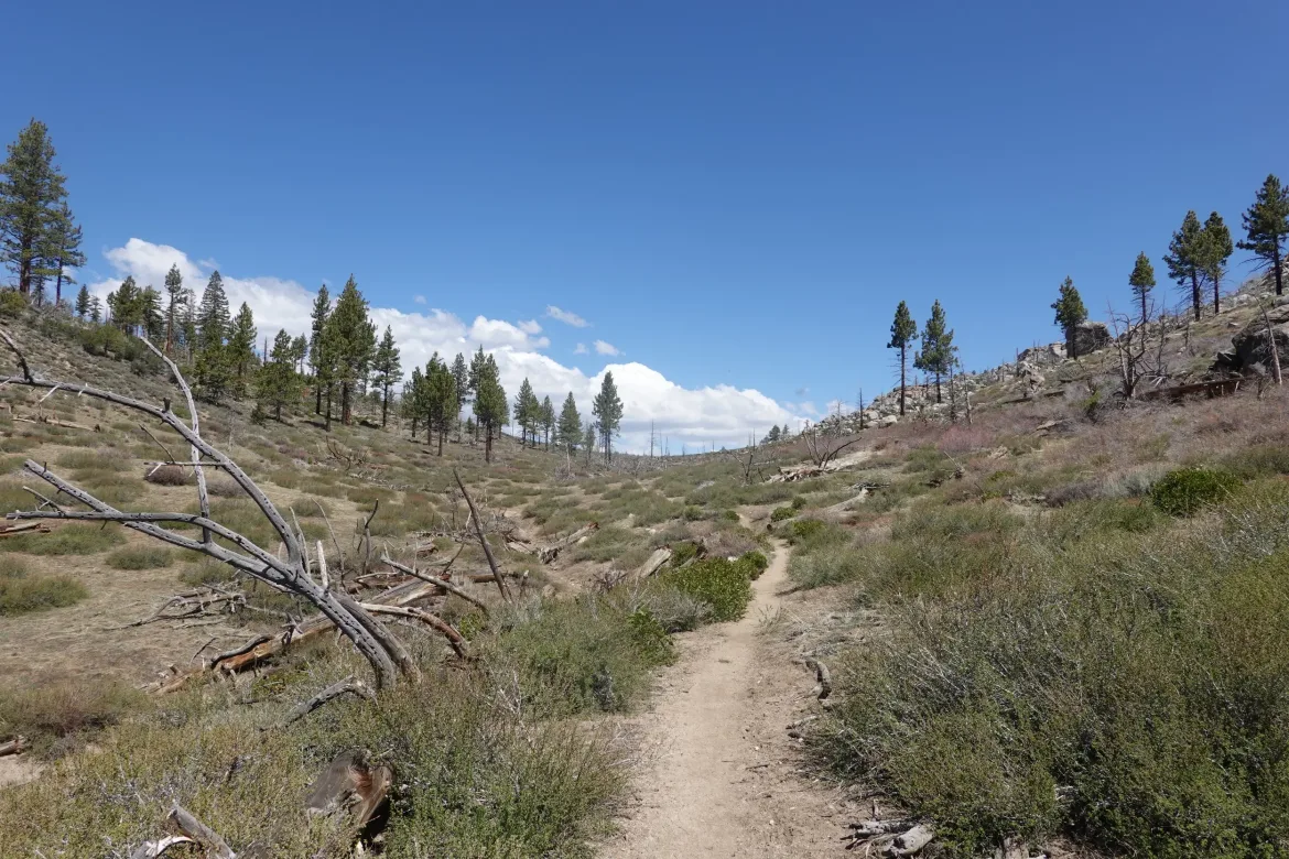
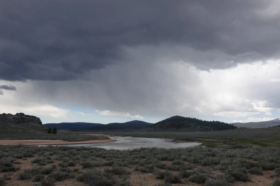
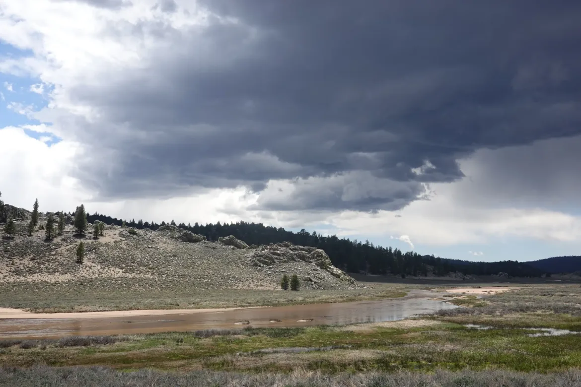
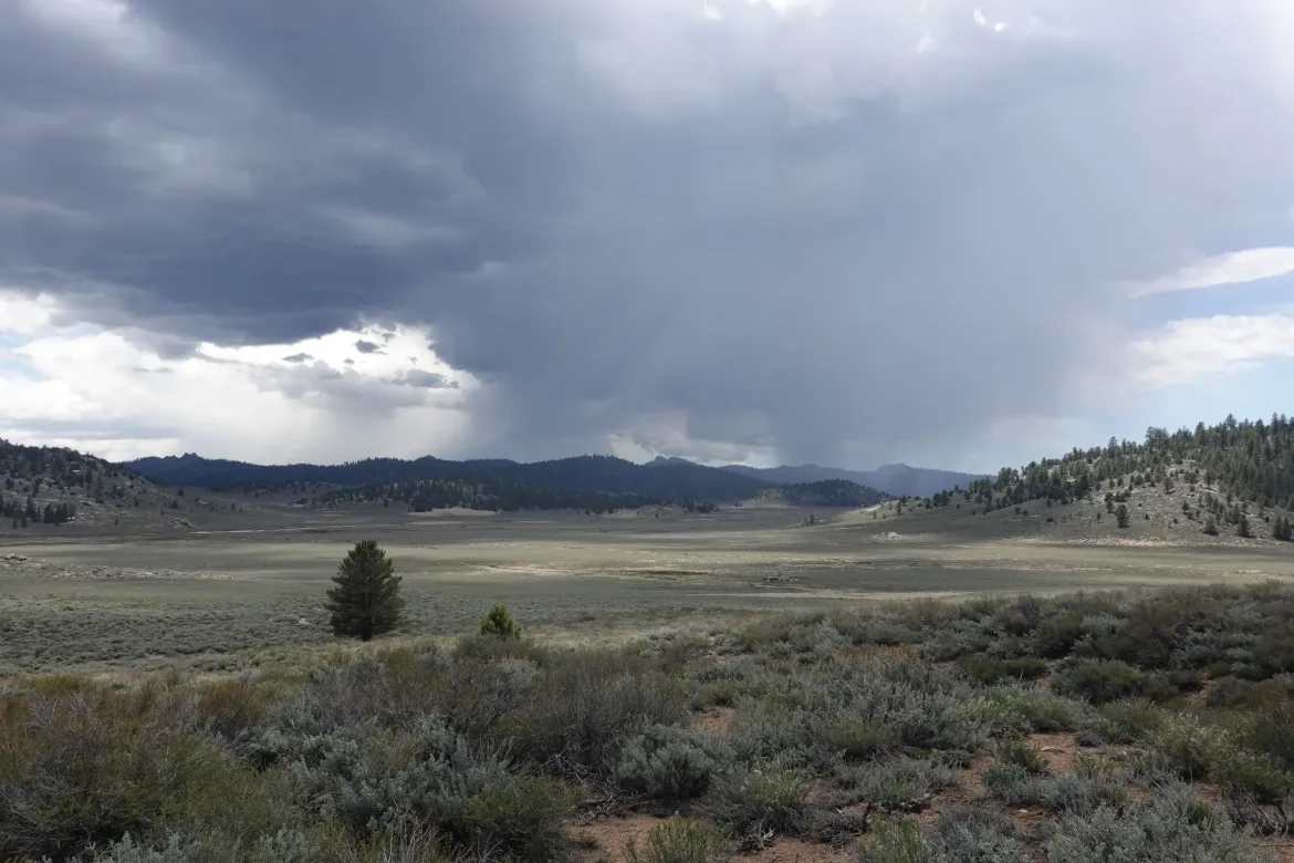
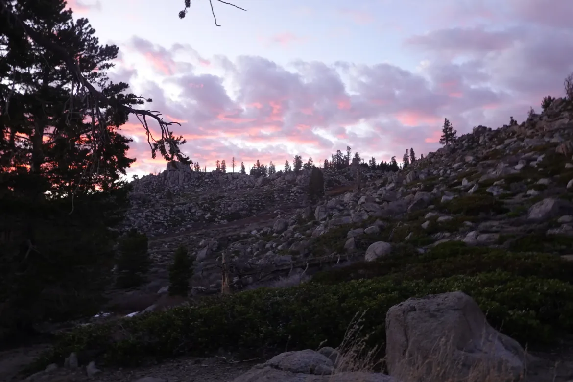
We still had a few miles to go though, and another couple thousand feet to climb. Also, some angry clouds were rolling in and we felt a couple raindrops. We were on the edge of the clouds for the moment, so I thought we would be ok, but you never know what will happen.
The trail crossed the meadow for a while giving more time to view its expanse and the rain that was just missing us.
The trail got steeper than usual towards the top. I ran into 2 Speed and Roadrunner who I was not expecting to see as they left a day ahead of us. We joke that we never plan to run into each other, but always do somehow. Good people.
We still had a mile to camp, and the trail steepened further. Since taking some Vitamin I at the bridge, my quad was feeling better though there was still some discomfort if I took too big of a step or made a kicking motion. However, I thought it was a good sign that anti inflammatories made the discomfort nearly go away.
There was a stream near camp with many marmot playing in a boulder field. First time I’ve seen them this trip, and another sign of the mountains.
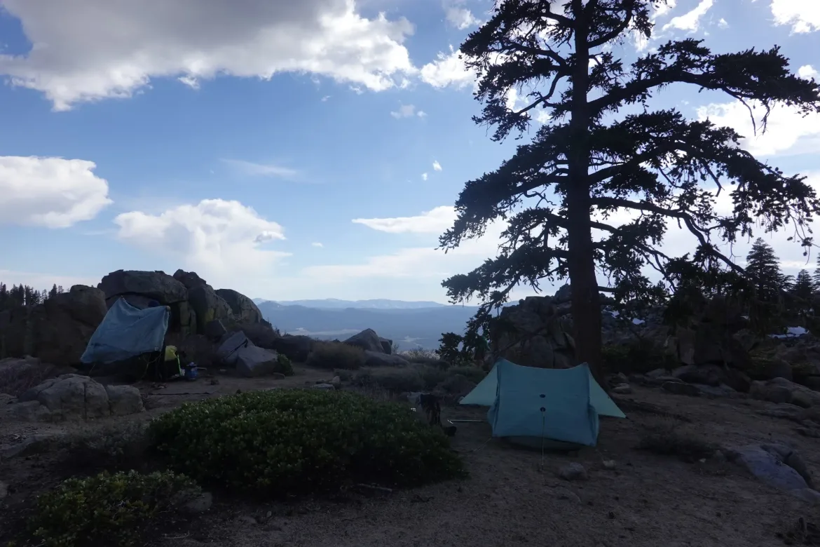
Our camp spot was snow free despite being at nearly 10,000 feet which is a good sign of the snow melt in the Sierra. There were reports of a lot more snow here just a few days ago.
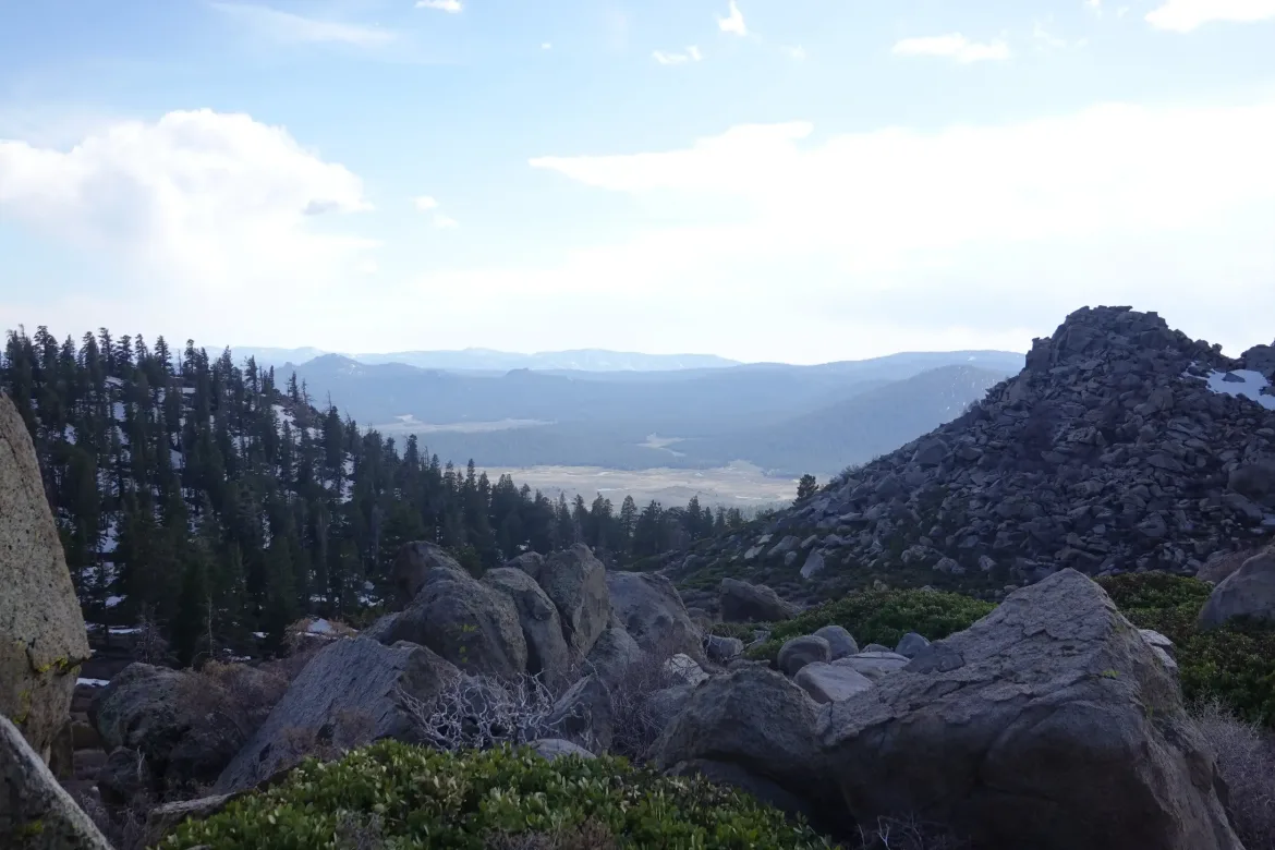
The campsite was fantastic with great views of the meadow now far below us, and the surrounding terrain. Perhaps the most scenic campsite yet this trip. It is exposed, but the wind doesn’t seem too bad, so hopefully it will be alright.
It was a great night having dinner and chatting with our tremendous backdrop before wandering off to our tents, tired from 5,000 feet of climbing and being at high elevation, the highest yet of this trip.