
Start: Right Hand Collet Canyon
Finish: Horse Mountain Road
Daily Mileage: 16.0
Trip Mileage: 420.3
Elevation gain/loss: 1794/345ft
I slept great last night, way better than in the hotel the last two nights! I found my sleeping pad more comfortable than the hotel bed, unfortunately. At least I didn’t have to blow up the hotel bed. I moved my alarm back 20 minutes since the days are getting shorter and to also help me keep my mileage down to Tropic.
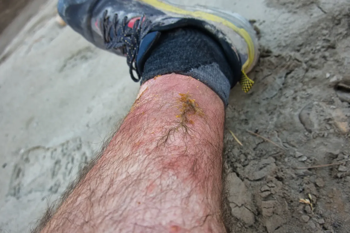
I was beginning to get some poison ivy blisters when I arrived in Escalante, so I got some cortisone there, though I don’t usually itch from poison ivy. By this morning, the lower 4 or 5 inches of each leg is pretty much just one big blistered rash. I didn’t think to wash my legs after going through the poison ivy a few days ago. At least my hands and face are pretty much clear since I did wash them at the time. I’ve got some really big blisters, and most of them have burst on my legs. It’s not really a big deal, but they’re just sensitive when I’m pushing through brush, or when anything hits my legs. Not the most pleasant thing in the world. My sleeping bag liner also has a lot of puss on it now even though I just washed it. Better than on the bag itself though.
Since there was running water at camp and I knew I would hit some water later in the day, I decided to dump all my extra water except what I needed for half the day or so. I resumed walking up the canyon, and it was a pretty walk even with the stream running through. I rejoined my cow friend’s trail and we walked the same path for the first few miles today.
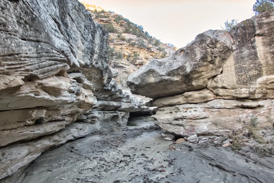
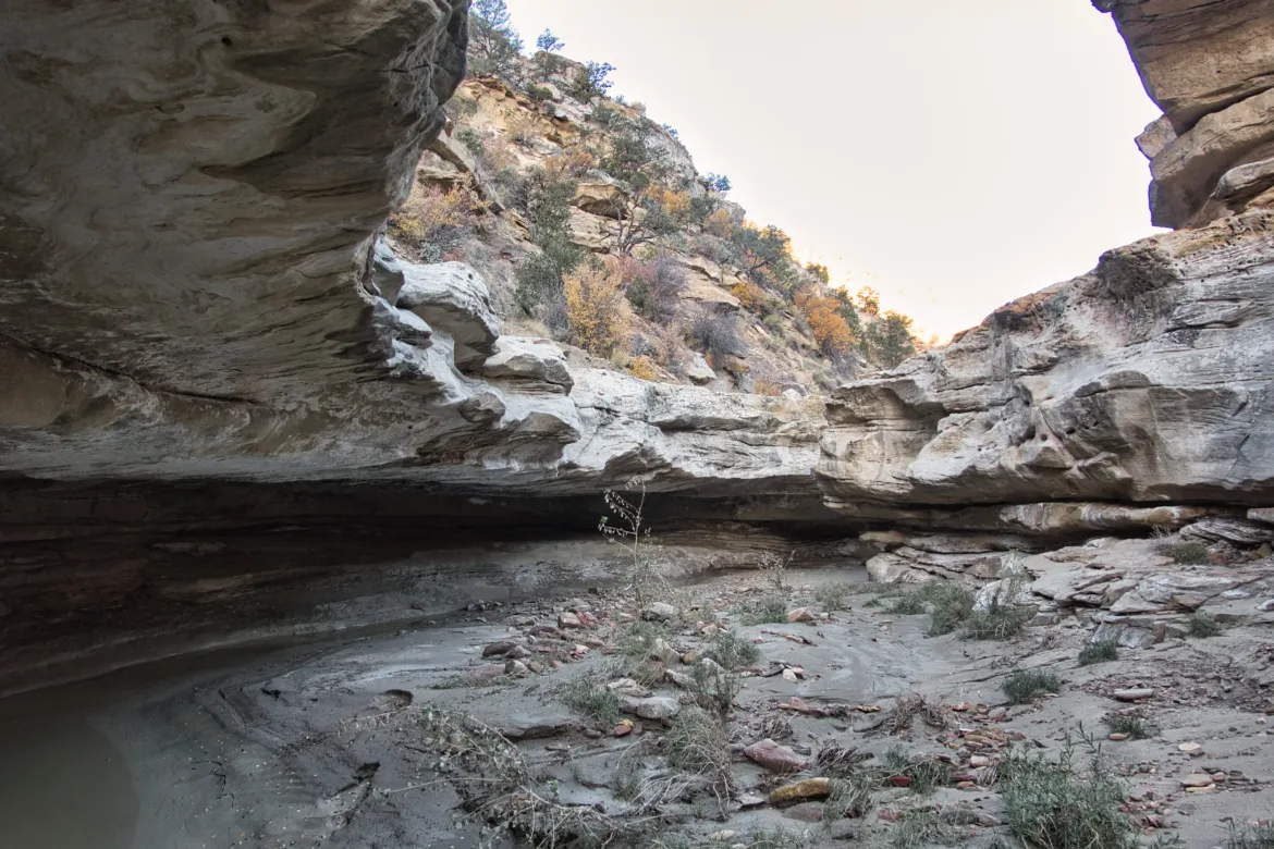
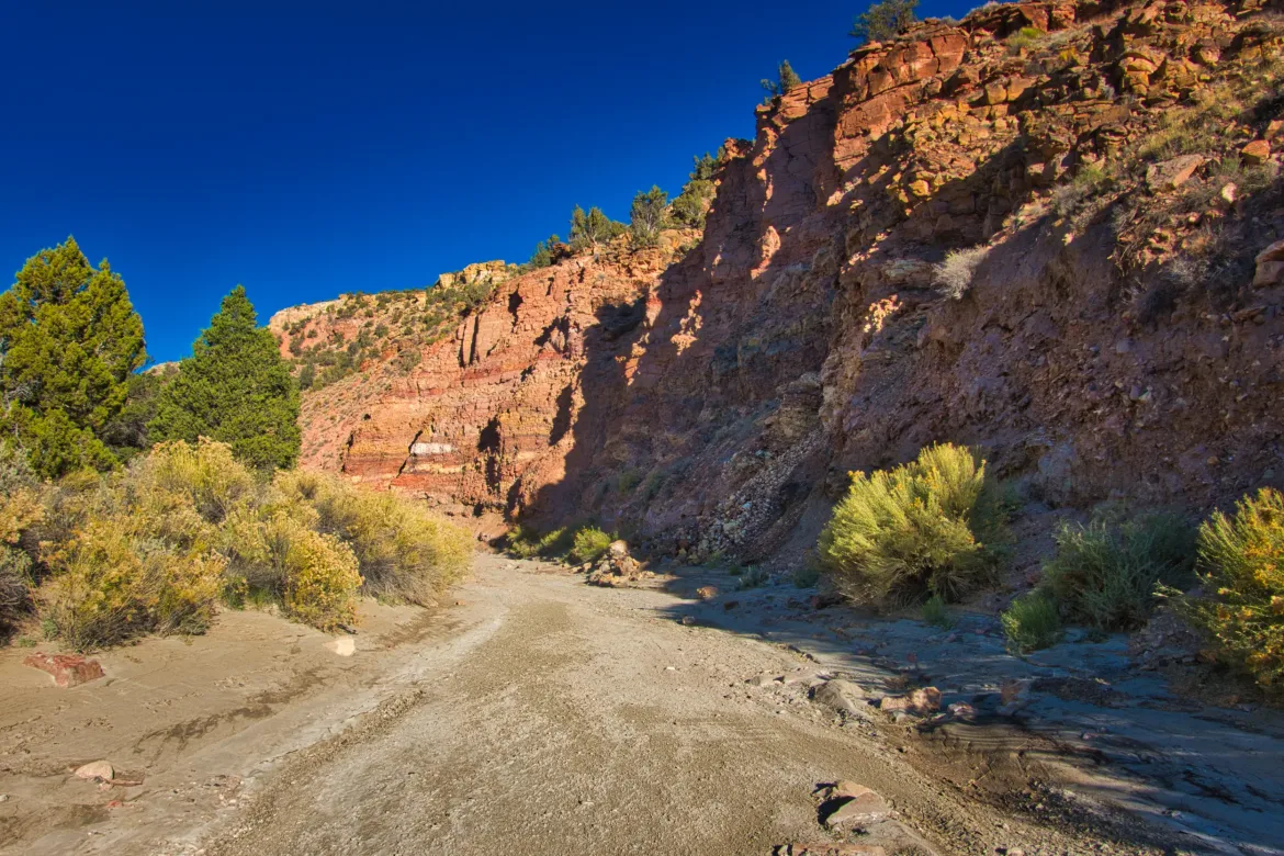
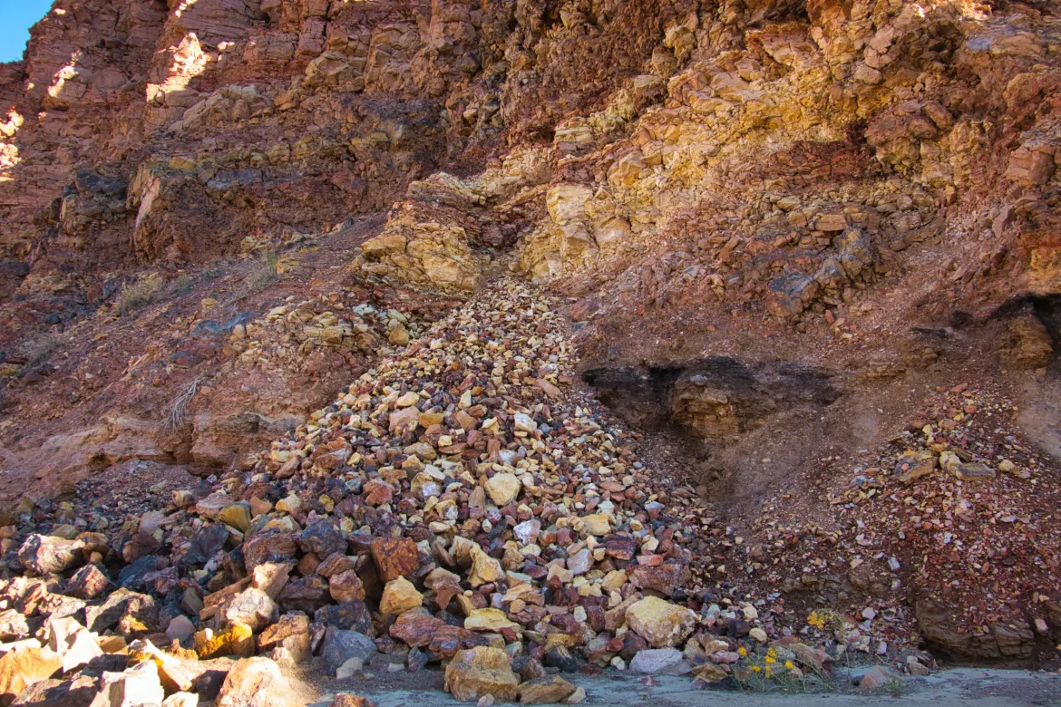
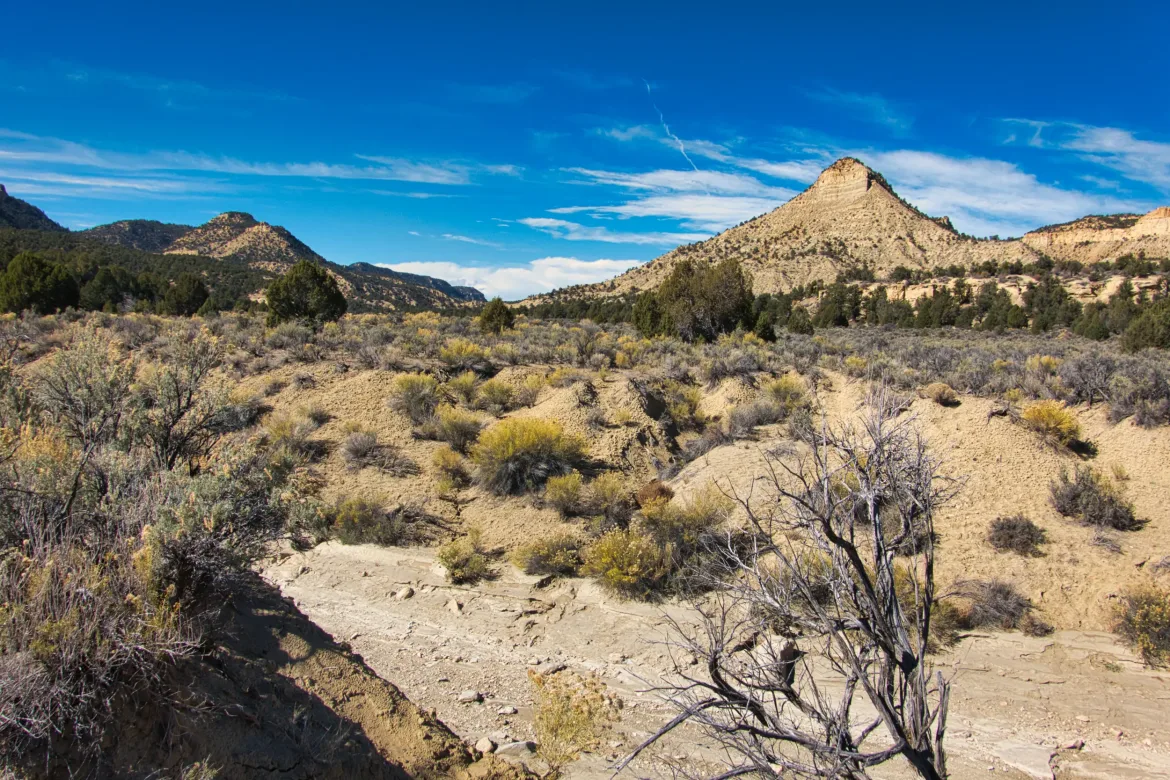
Early in the morning, the cliffs on either side of the canyon were really colorful. There was pink, red, tan, white, and green, and the colors were also mixed in with each other in layers. The wash bed was also littered with colorful stones. It’s so nice to see differences all the time in this area; it keeps things interesting for the hike.
I didn’t want to go too far today since I’m trying to do this section in six days, so I made it to my notional goal and found a campsite not too much later. I had been looking for a campsite for a bit, but there weren’t many spots where it was possible. It can just be hard to find a spot out here that’s flat and clear and above the flood line (and relatively free of cow shit). I ended up seeing a rock in a tree obviously put there by a person. I took that as a sign that I should go up on the bank and check out what was up there and found a campsite or at least a spot to set up my tent. The nice thing about my camp tonight is I have water right next to me which is rare out here. I’ll just have to figure out how much water to carry out tomorrow morning.
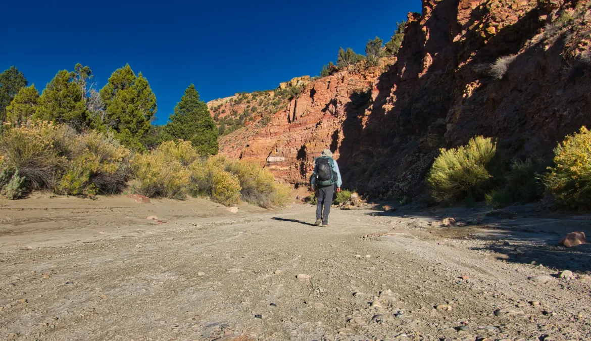
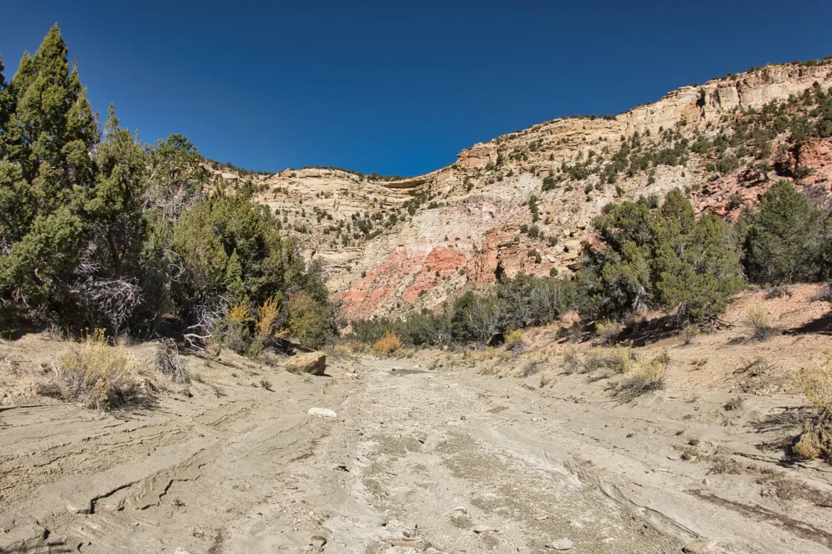
The hike itself was not too challenging today. I literally followed the same wash for the entire day. I just kept to the largest branch of it as other branches came into it. For the most part, it was easy going, a wide, flat wash that made wide bends. From time to time, I would cut the bends since they were pretty circuitous. Animals often had the same idea, and there were some very well-worn game paths at times.
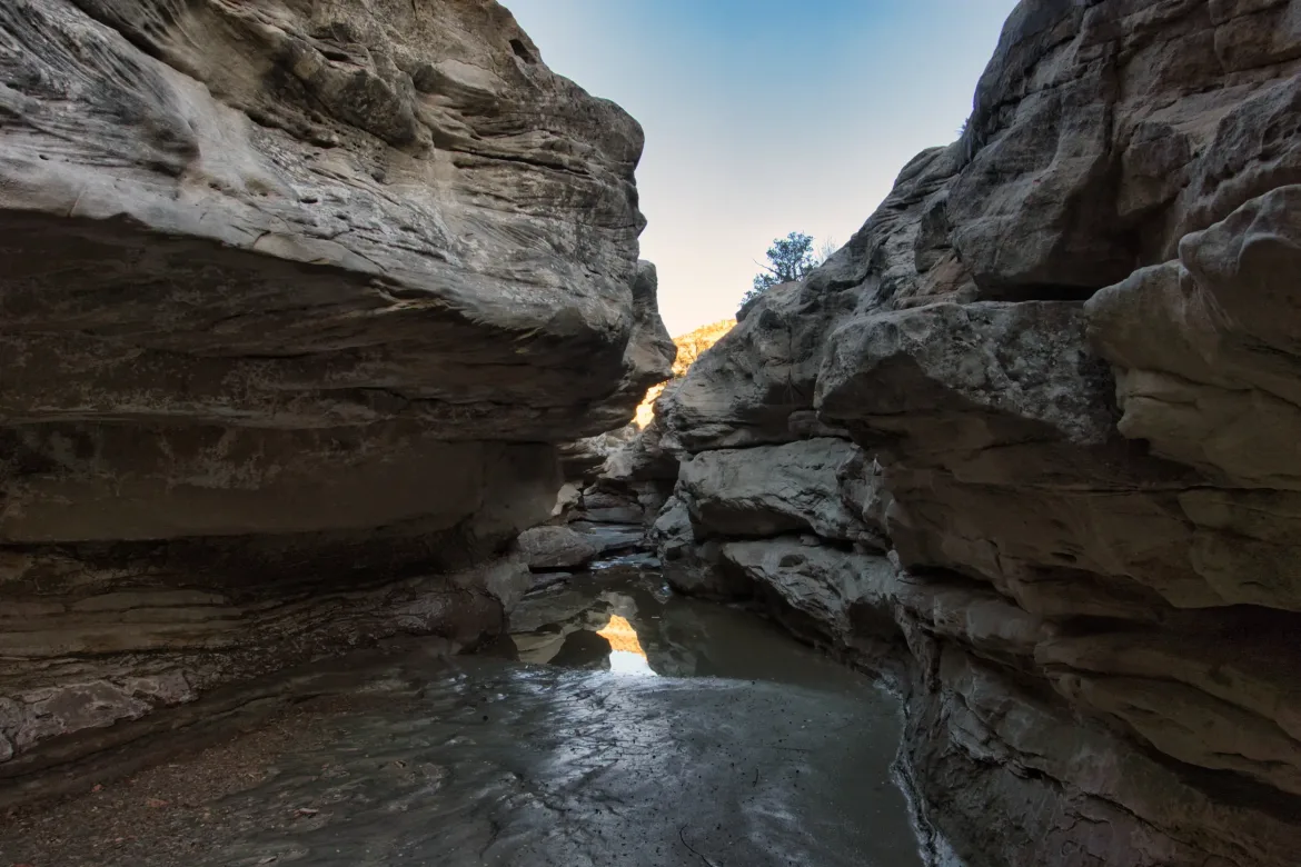
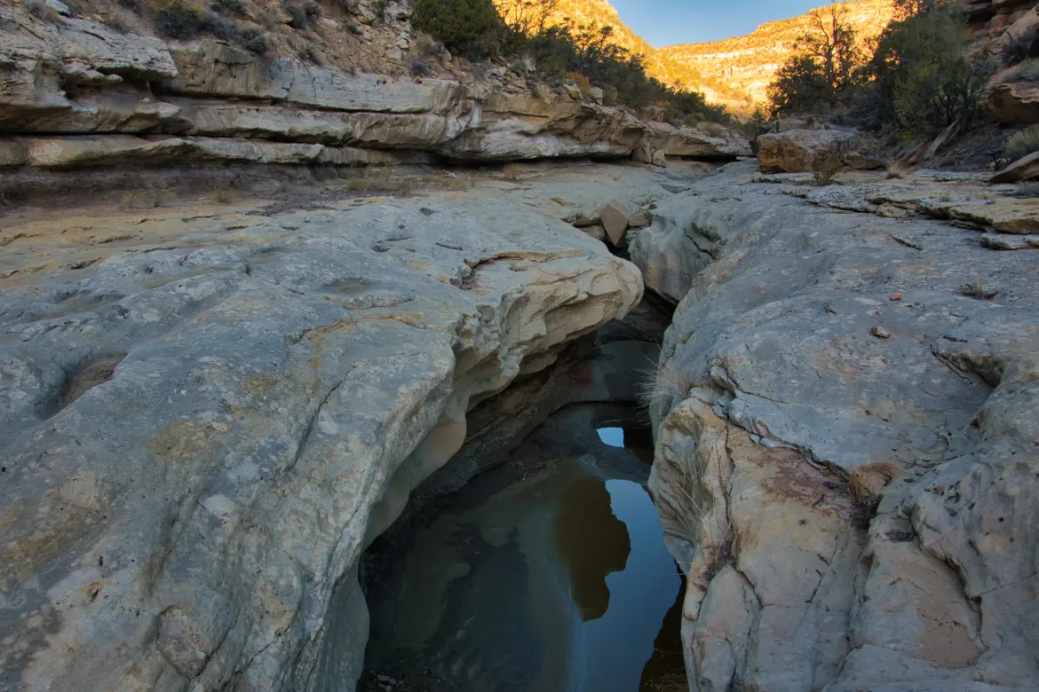
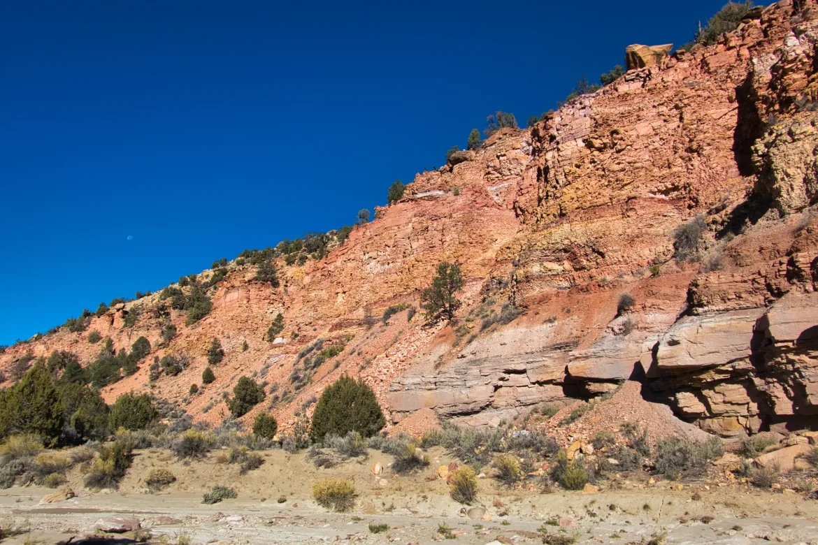
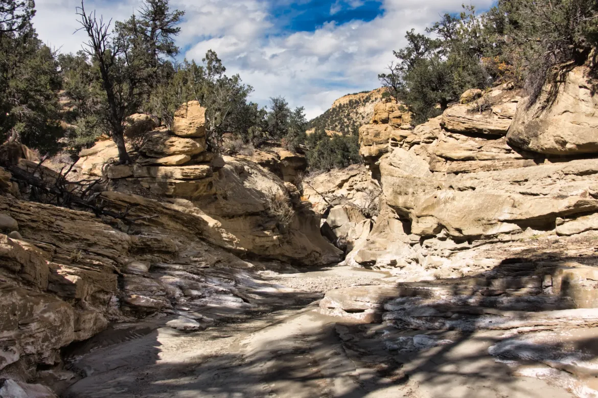
The wash had a mix of wide-open valleys and narrow canyons with cliffs, again with the intricately carved sandstone like yesterday. The water went in and out, and around midday, I came to what might be the last flowing water, so I grabbed some for the day and half of tomorrow. My standard six liters. There was a fence across the wash where I grabbed my water, so I parted ways with my cow friend’s path.
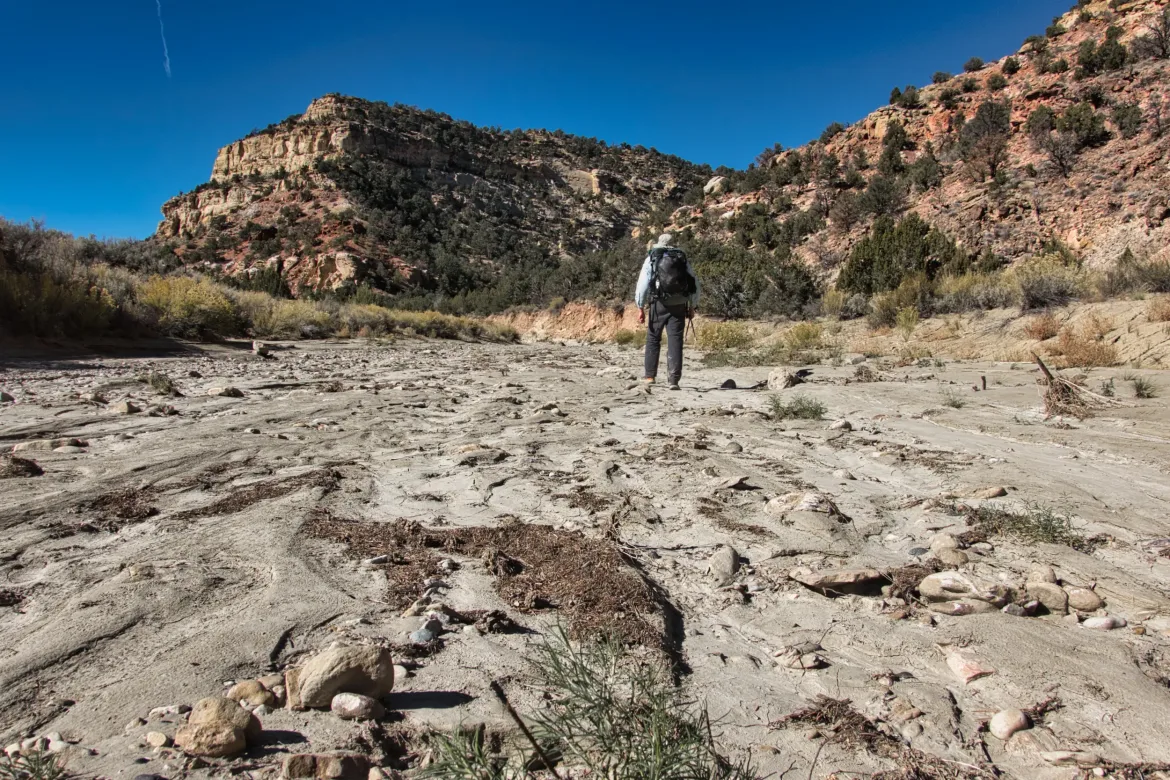
I crossed a 4×4 track, and then the wash changed to a wider-open valley. There were signs of an old overgrown road from time to time, and it was interesting that some heavily beaten game paths followed these roads directly. We abandon the road, and the animals took it over! I stuck much more to the game paths than the wash where I could since they were very pronounced and easy to follow. There were tons of coyote tracks on the game trails, and I think even a few mountain lion tracks.
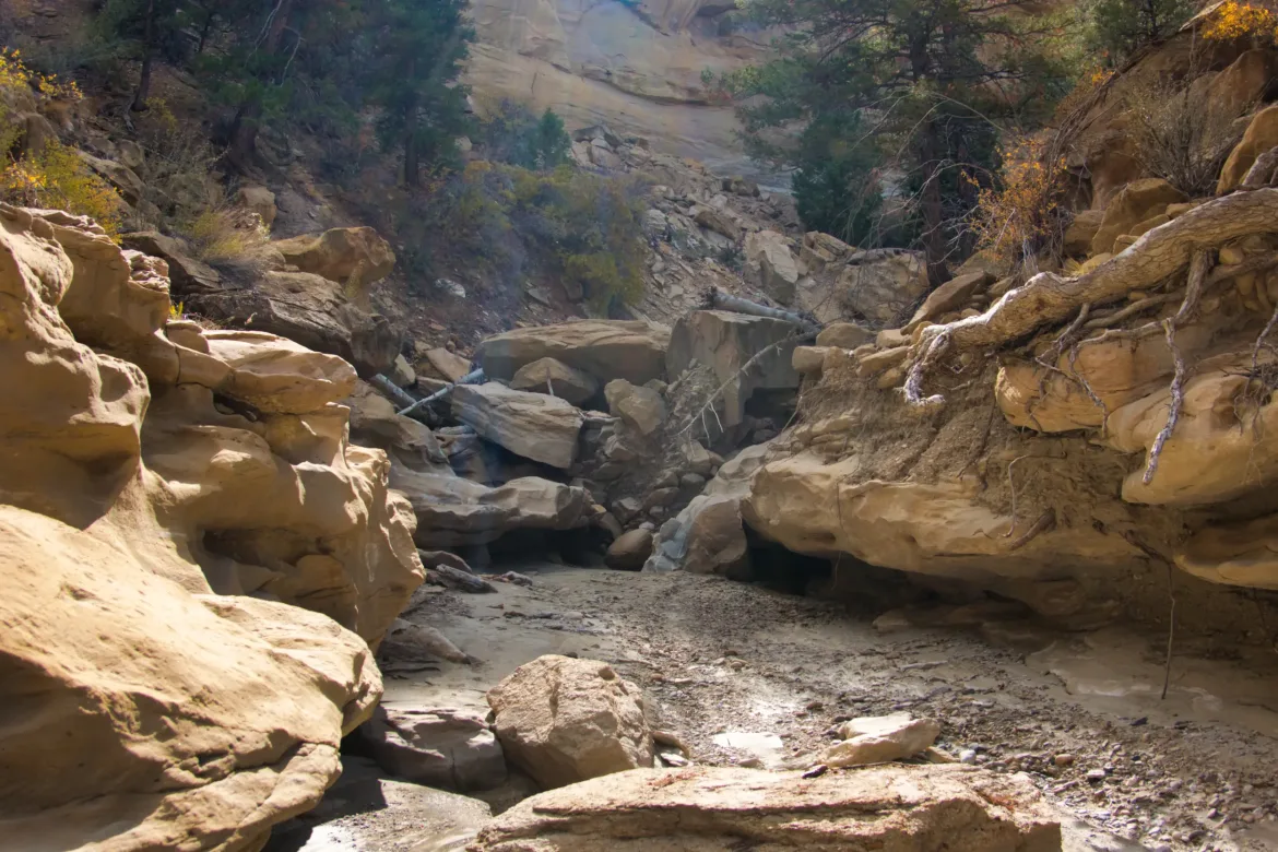
After a while, the wash started to close up again and formed a canyon such that you had to follow the wash directly and couldn’t cut the corners anymore. The walls were steeper, and there was even some fun bouldering over big obstacles in the wash but nothing too difficult. There were potholes along the way from which I could have gotten water, but once again I didn’t know they were there, and I wasn’t going to rely on something like that.
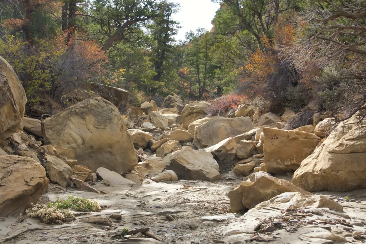
The day got pretty warm, but since I was not going as far today, I just took it easy and took breaks every so often. Some other days on this trip, I haven’t really stopped to take a break at all. Just hiked all day! I can do either, but sometimes I need to force myself to slow down a little bit, and that’s perhaps how I got ahead of schedule. By the time I was nearing the end of the wash, I was ready to finally be done with it. It was getting a bit repetitive but towards the upper reaches, it was drastically reducing in size as other side washes came into it. I ascended into a ponderosa forest and came across a washed-out culvert in the middle of nowhere just sitting in the stream and figured I must be getting close to the road I was planning on finishing at. About a quarter mile down, I actually hit the road, and there was a flat spot right next to it that was slightly sheltered from the wind that had been blowing.
Done at 4:00 today a little bit earlier than usual but I still got 16 miles in and I think it’ll work out for me to do six days on this section instead of five so it will be perfect. I’m camping at 7,000 ft. tonight and it is supposed to storm. Crossing my fingers for rain instead of snow. We’ll see what happens.