
Start: Hamblin Arch
Finish: Unnamed 4×4 track in Escalante-Grand Staircase National Monument
Daily Mileage: 21.4
Trip Mileage: 379.9
Elevation gain/loss: 3214/1810ft
I had probably my best night of sleep on the trail so far last night cowboy camping. I’m not sure why, but maybe the babbling brook helped. Finally, there was no condensation to wake up to, and it was just a perfect night. I got up and packed up at my normal time, but it was still pitch black when I was ready to go. The steep canyon walls didn’t help with that. It’s way quicker and easier to pack up without involving a tent. It finally got light enough for me to go, and one of the guys next to me decided he needed to cat hole right next to the trail, right next to my campsite. He even gave me the evil eye when I stumbled upon him, as if it was my problem, not his, that he was taking a squat right next to a high-traffic trail. That delayed me for a few minutes waiting for him to finish. Definitely inconsiderate, especially when you’re supposed to be using WAG bags in this area.
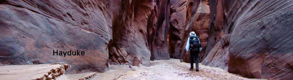
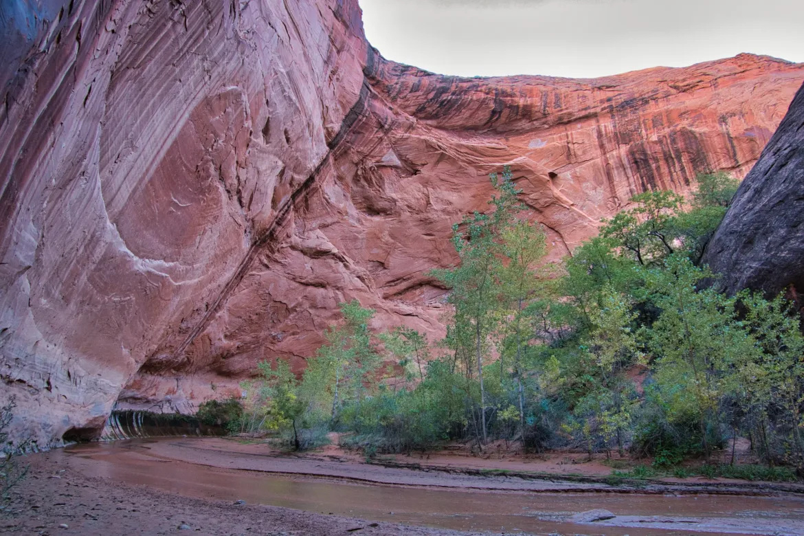
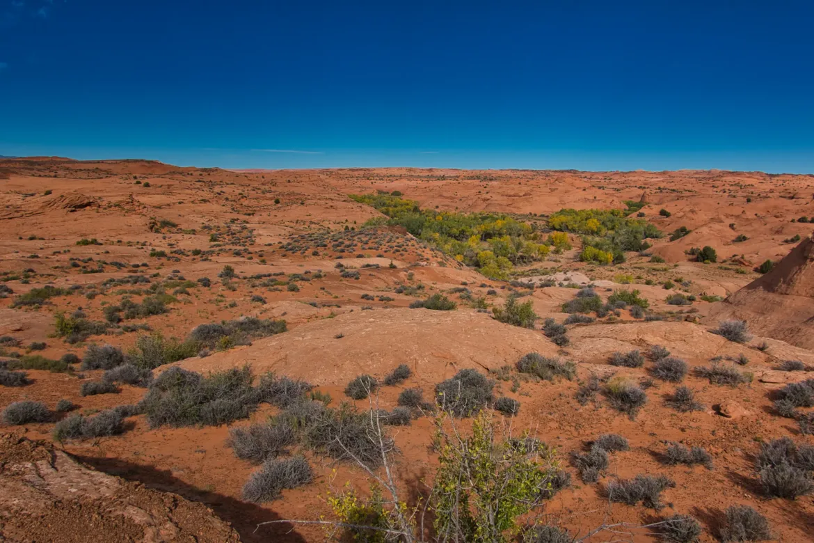
I continued up Coyote Gulch, but I think I had passed most of the really spectacular stuff yesterday. This was still a great canyon, but the party pieces were behind me. I continued up the canyon, and today I was going to take an alternate route that I put together. I was going to head up to a trailhead that is commonly used to access Coyote, and from there, do some cross-country traveling. However, looking at my maps, I noticed that there was a stream that paralleled my course, so I decided that I might try going up that instead of the high cross-country.
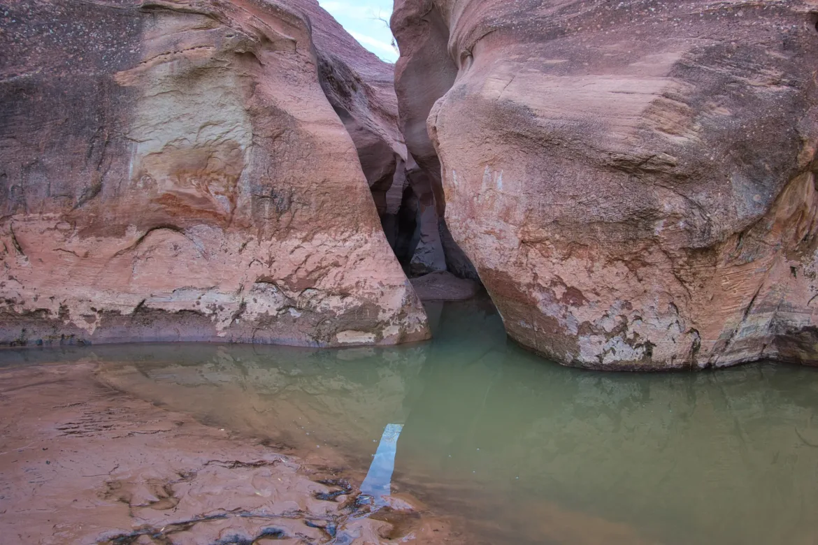
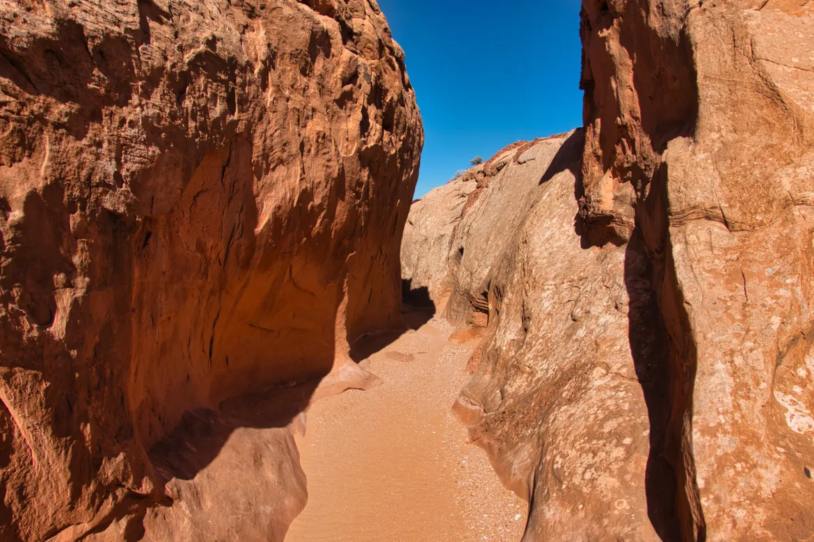
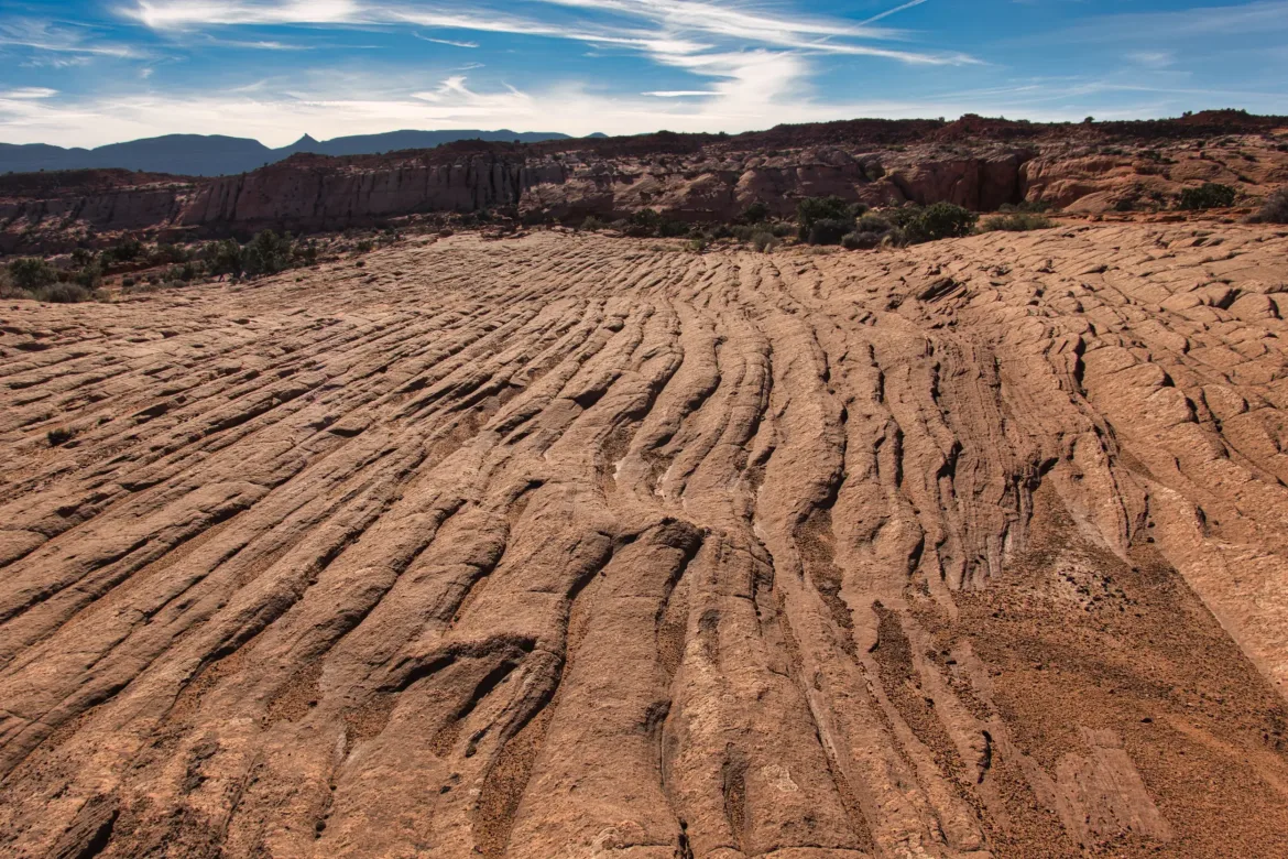
The stream was labeled as Dry Fork of Coyote Gulch, so you would think it would be dry, right? Well, most of the flow that I had been walking in was coming from the “Dry Fork”. A bit misleading in the name. I had been following easy treadway until I got to the Dry Fork. There were a couple of footprints going up but not much in the way of paths. I headed up the creek anyways, either walking on the bank or on cow paths on either side of the creek. Since I had turned off the trail and this suddenly wasn’t a well-traveled area, I got into my favorite, pushing through brush once again. It didn’t take long on the Dry Fork before I started looking for an opportunity to stage an escape. The walls of the canyon were dirt and steep and didn’t really offer me an opportunity. I continued upstream until I came to a tributary wash and followed that up a bit until I saw a spot where I could climb out of the canyon. I climbed straight out on some slickrock and got into the high country on top of the canyon rim.
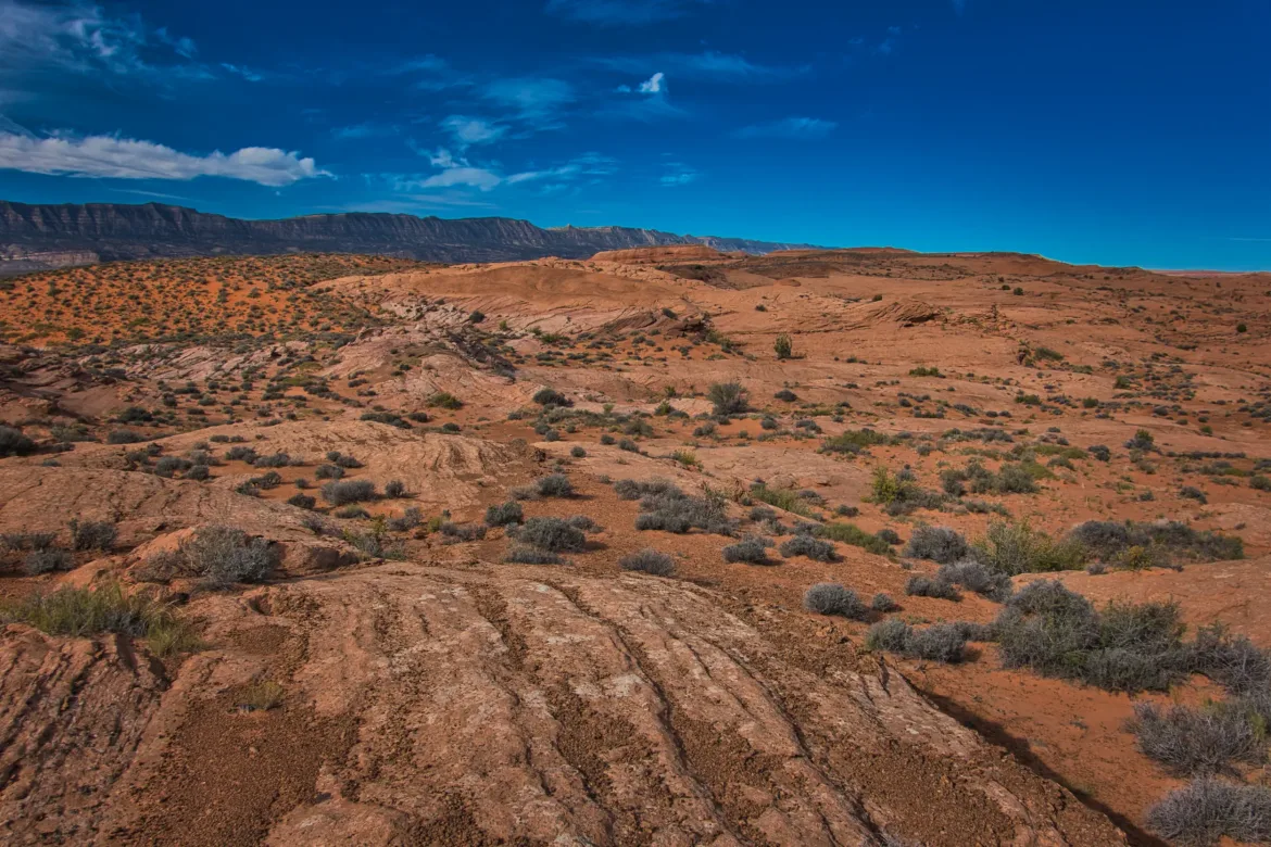
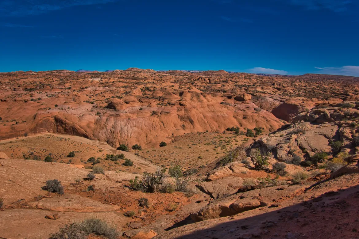
From there, I was basically on my previously planned route, which was a simple straight line, so I grabbed my compass and took bearings to work myself across the terrain. Obviously, there’s no traveling in a straight line in just about any terrain; you have to work your way around, across, or over various hills and valleys, but it’s still a fun challenge to make your own path and figure out how to make it work.
It was getting pretty warm up top, but it was totally worth being away from the brushy creek. I had enough of that over the past few days. It’s not that I can’t deal with wet feet, but just the continuity of getting my feet wet and then having wet shoes was starting to bother my feet a little bit, and I wanted to keep them in good shape for the rest of this trip.
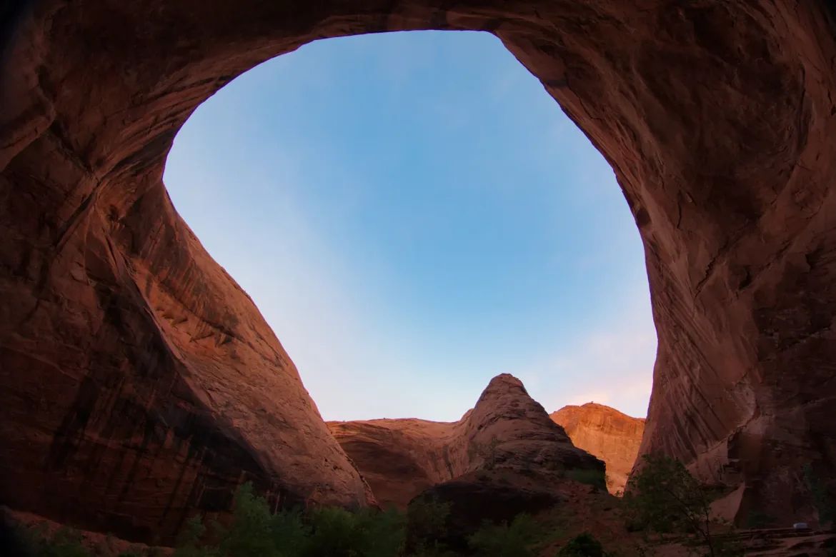
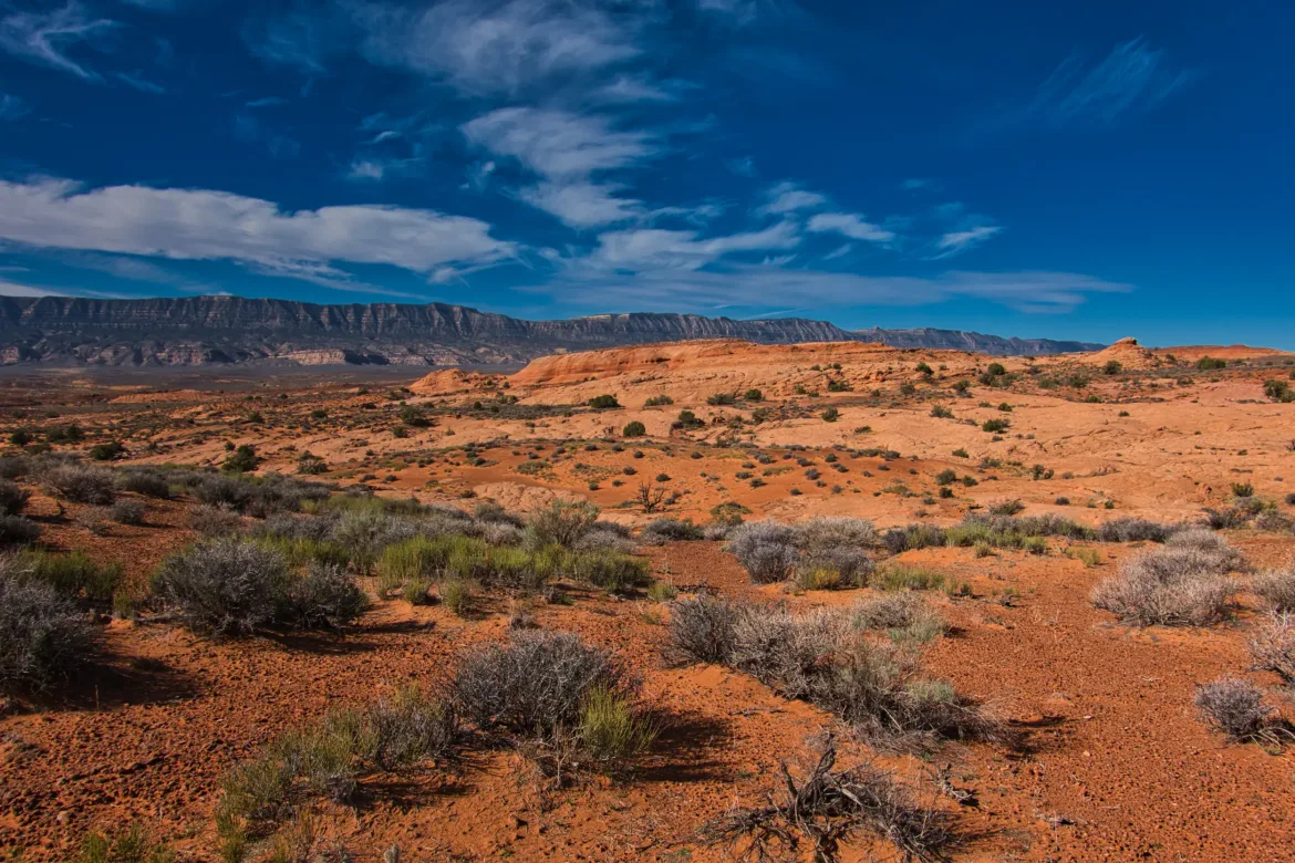
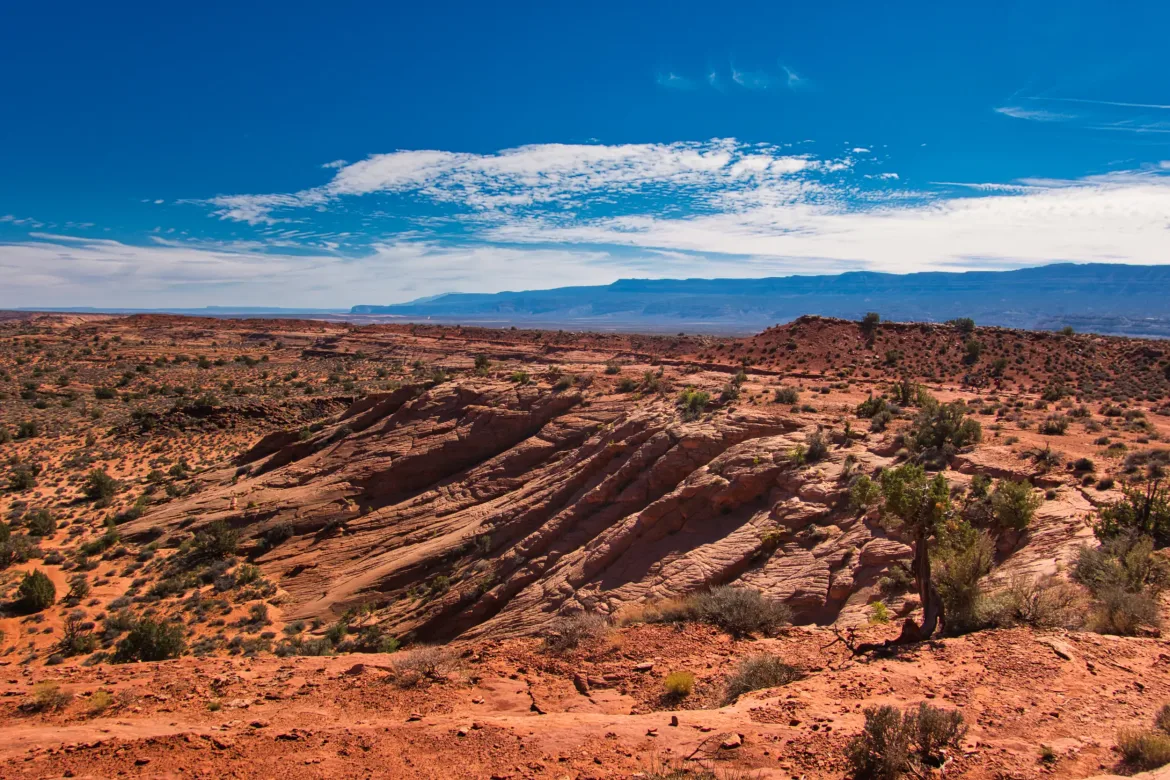
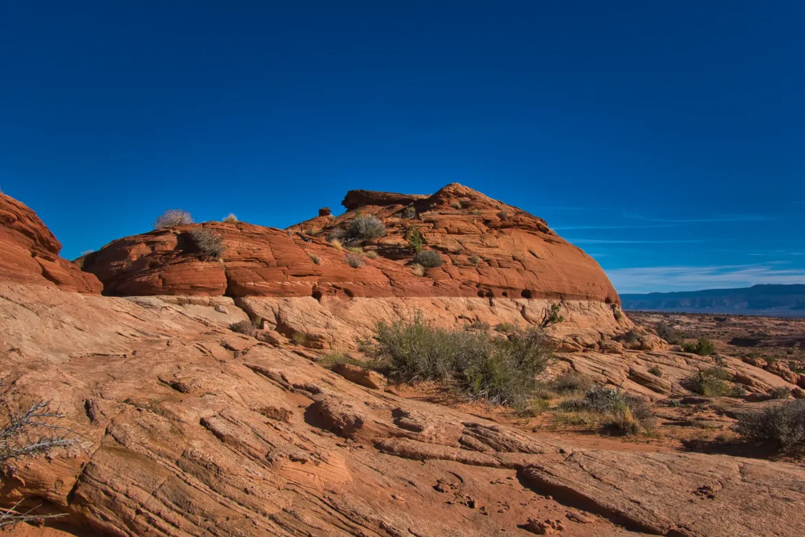
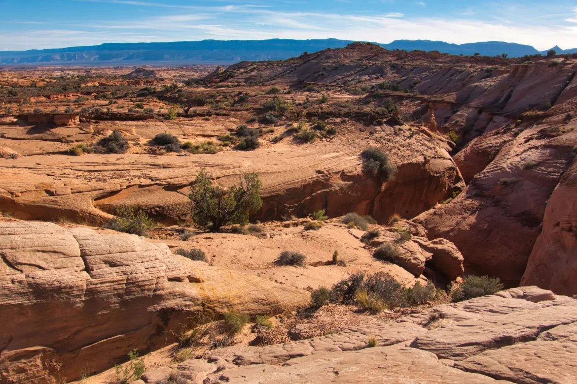
The high country is beautiful, and I got immense views of the surrounding landscape as I basically made it to the local height of land. I could see back to the Waterpocket Fold, and the other way to 50 Mile Mountain, which I’ll be crossing after my next resupply. Definitely well worth climbing out of the canyon. As I continued paralleling the canyon it did dry up and it got wide and steep and it looked like it might have been nice to be in the canyon, but oh well. There were a couple of spots where I might have been able to get back down into the canyon, but I would have had to do some exploring first, and it just wasn’t worth it to me.
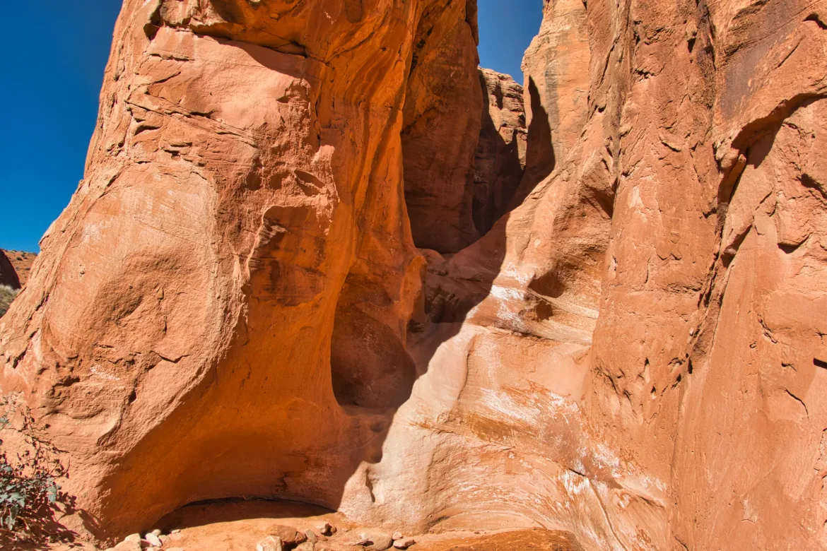
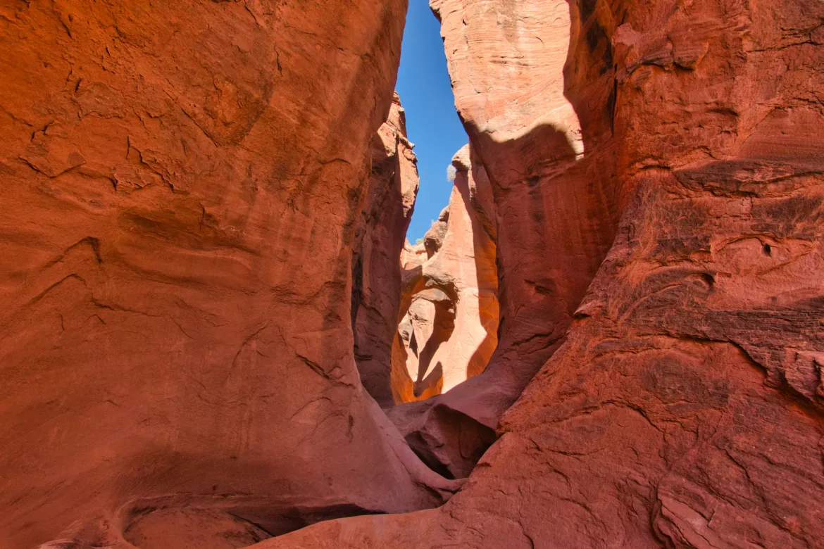
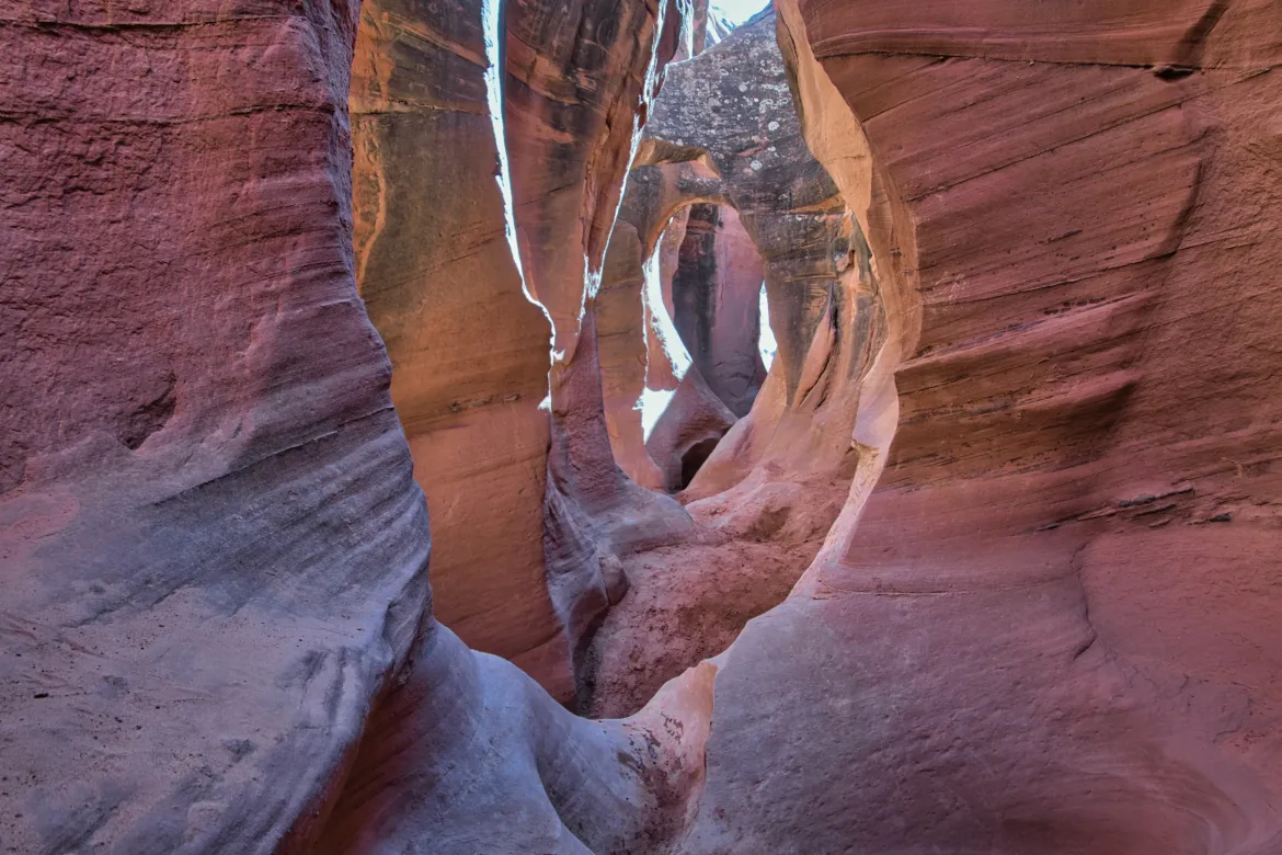
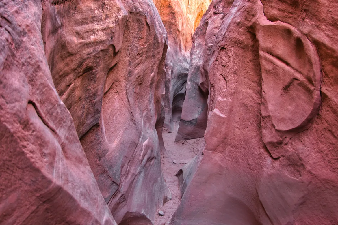
I did cross-country for several miles until I hit a 4×4 track and made a couple of turns and was in the Peekaboo and Spooky slot canyon areas. And then the tourists appeared. It’s amazing how you can go from no one to a million people in such a short period of time. My route took me up Peekaboo slot canyon.
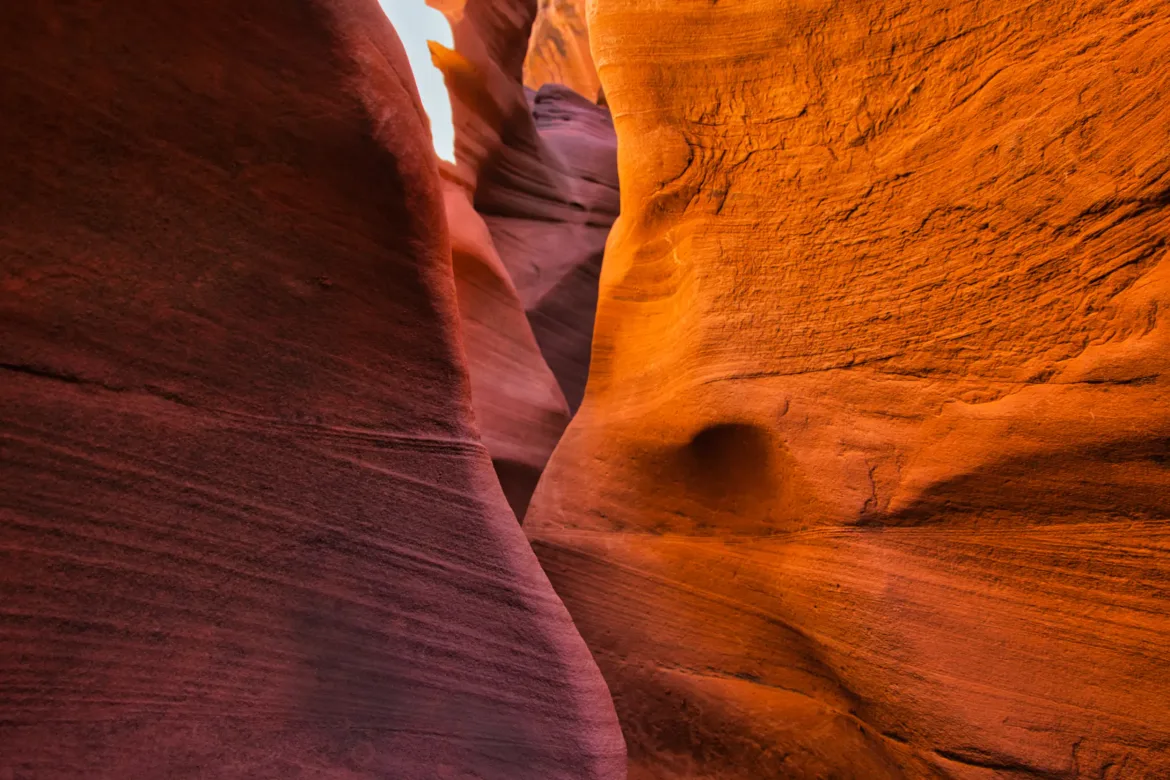
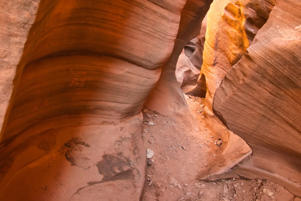
I think I didn’t fully consider the implications of having a full pack with six liters of water and going through a very tight canyon with many slickrock scrambles. I had to take off my pack for about half the canyon and carry it in front of me or rather push it in front of me through the slot canyon to make progress. Sometimes I had to throw it onto a ledge or something ahead of me and then scramble up after it. Several times it was really difficult for me, even without a pack, to do some of the scrambles because they were slick. I’d have to try to get a running start, but I could make it up some of the steep slopes. I had done the slot canyon before, so I knew what it was like, but definitely did not have a full pack on for that. At my first opportunity, I got out of the slot canyon because it was just so tough with my pack. Also, my pack was rubbing on the narrow walls and making more holes in my poor hip belt and water bottle pockets.
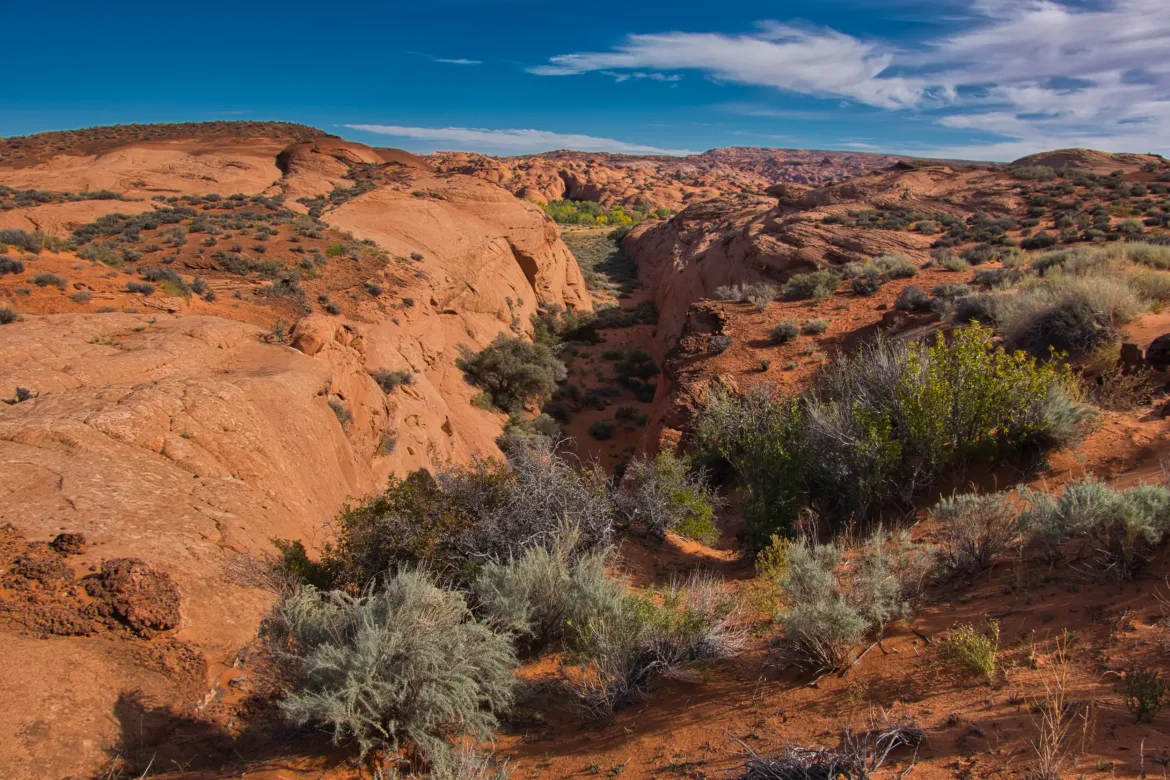
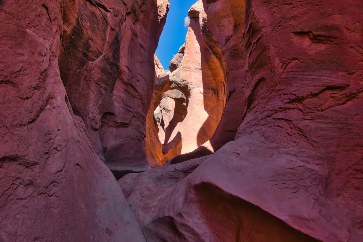
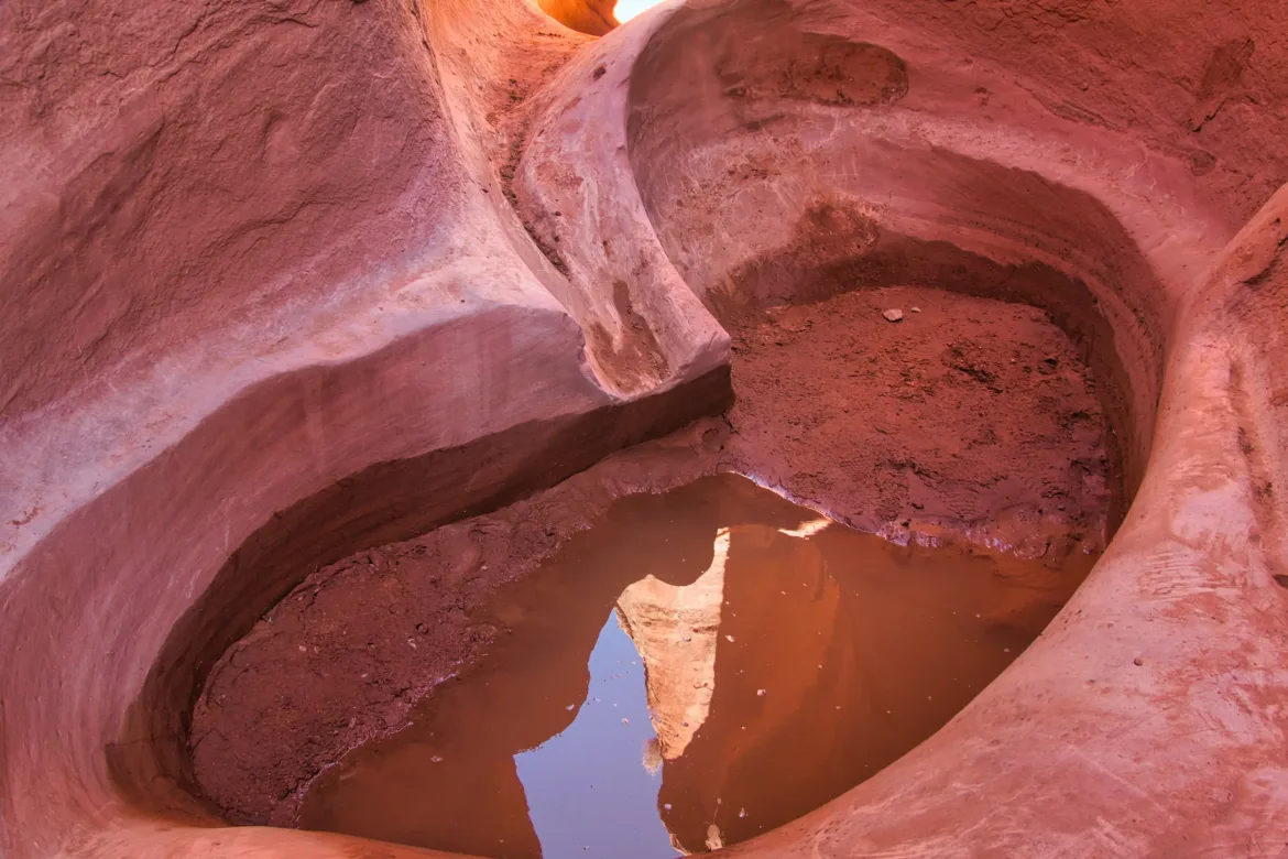
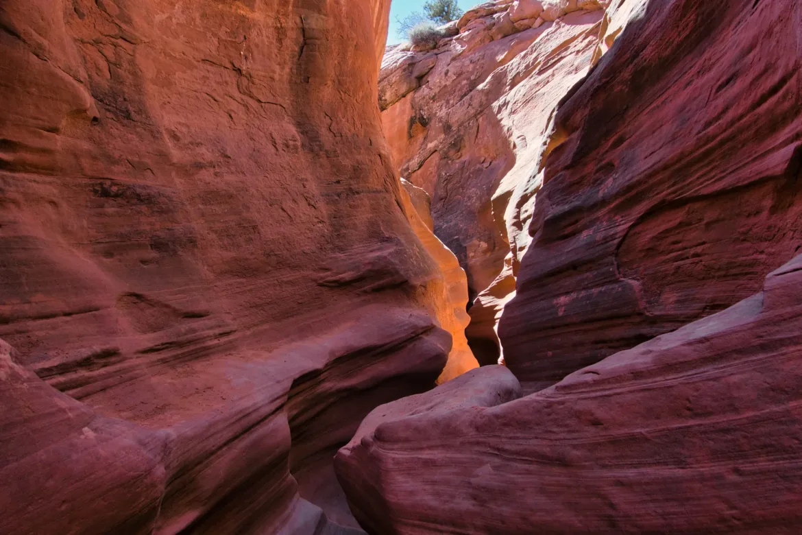
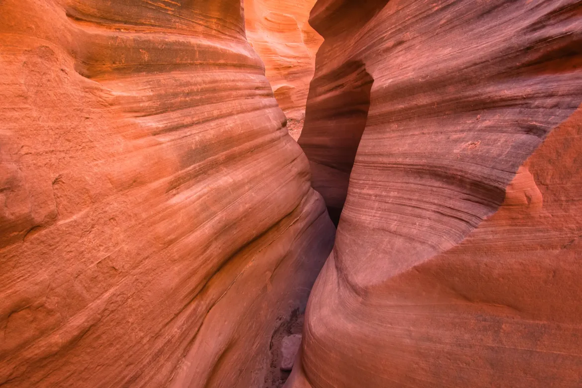
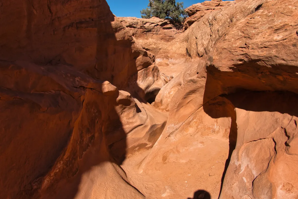
After the slot canyon, there is supposedly a trail that continued up the Peekaboo wash for a while. There were literally no footprints on this trail. Just like people suddenly appeared when I entered this area, they immediately vanished before the trail even finished the slot canyon because that’s the popular loop. I went up the wash and took a break where it ended up and entered a box canyon. The sun was pretty hot, and I was rationing my water since I didn’t expect to see any until tomorrow. The break helped me recharge with my limited water.
My map showed a trail going up the box canyon at the end of Peekaboo, but looking at the topo map and the canyon, I wasn’t sure if I could get out of the box canyon if I entered it. My map showed the trail stopping at the end of the box canyon, and I didn’t know if that meant there was an impassible pour over or that’s just as far as the mapmakers cared to extend the trail. Since I wasn’t sure, I decided to instead climb up the right side of the canyon on the rim and avoid the question.
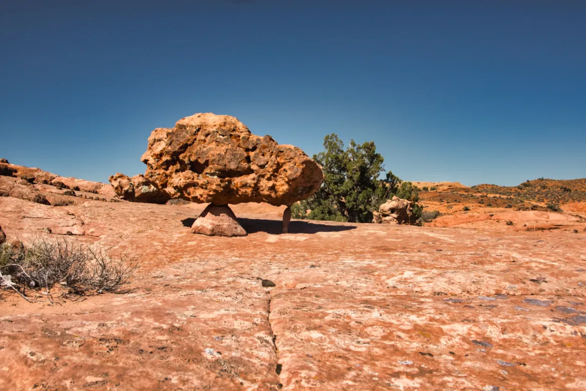
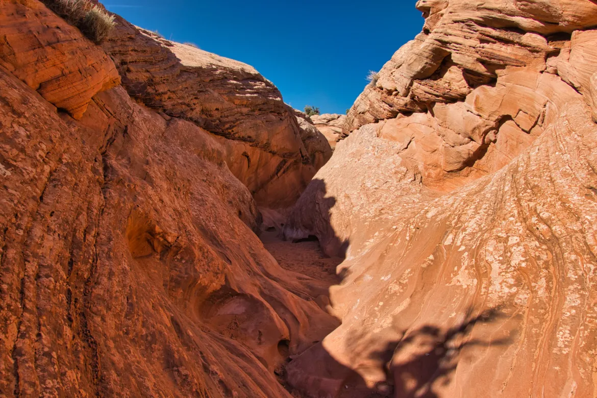
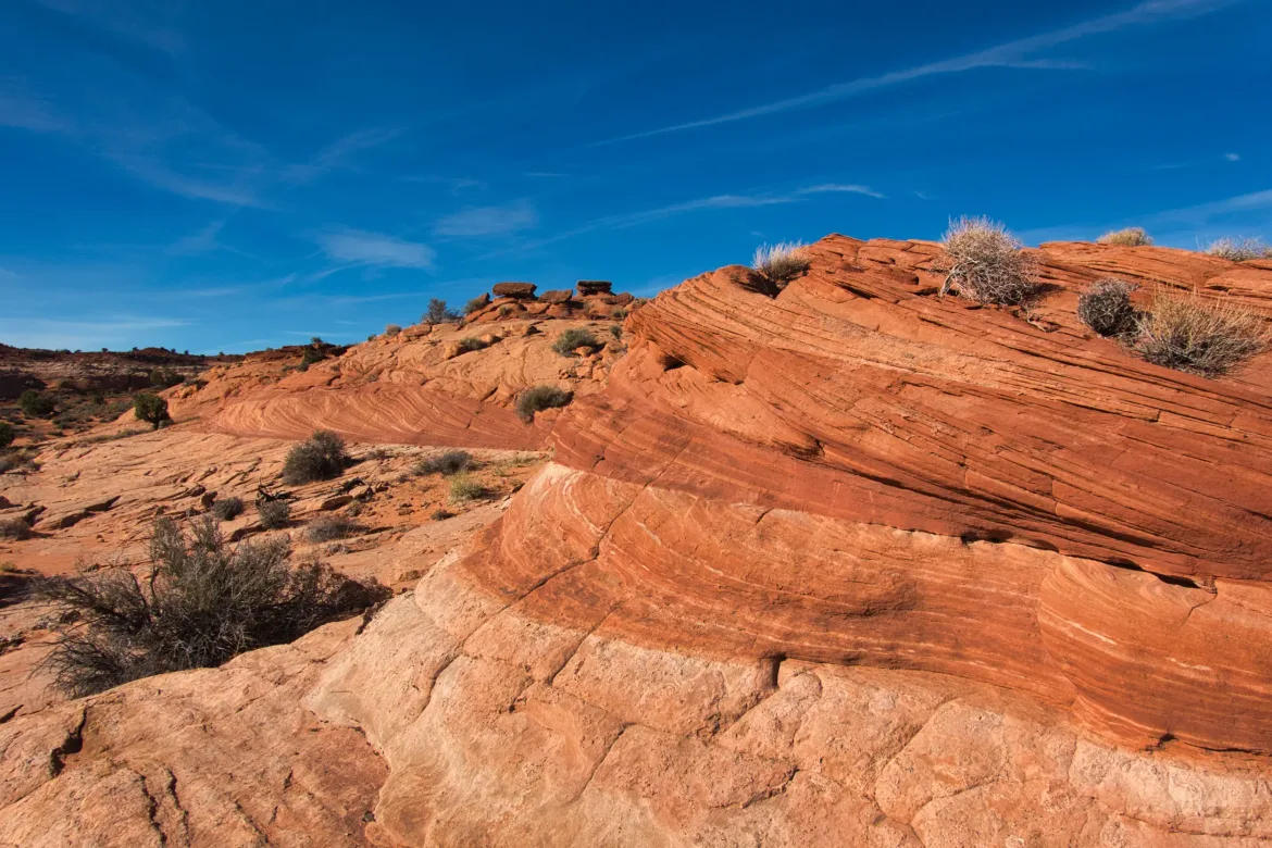
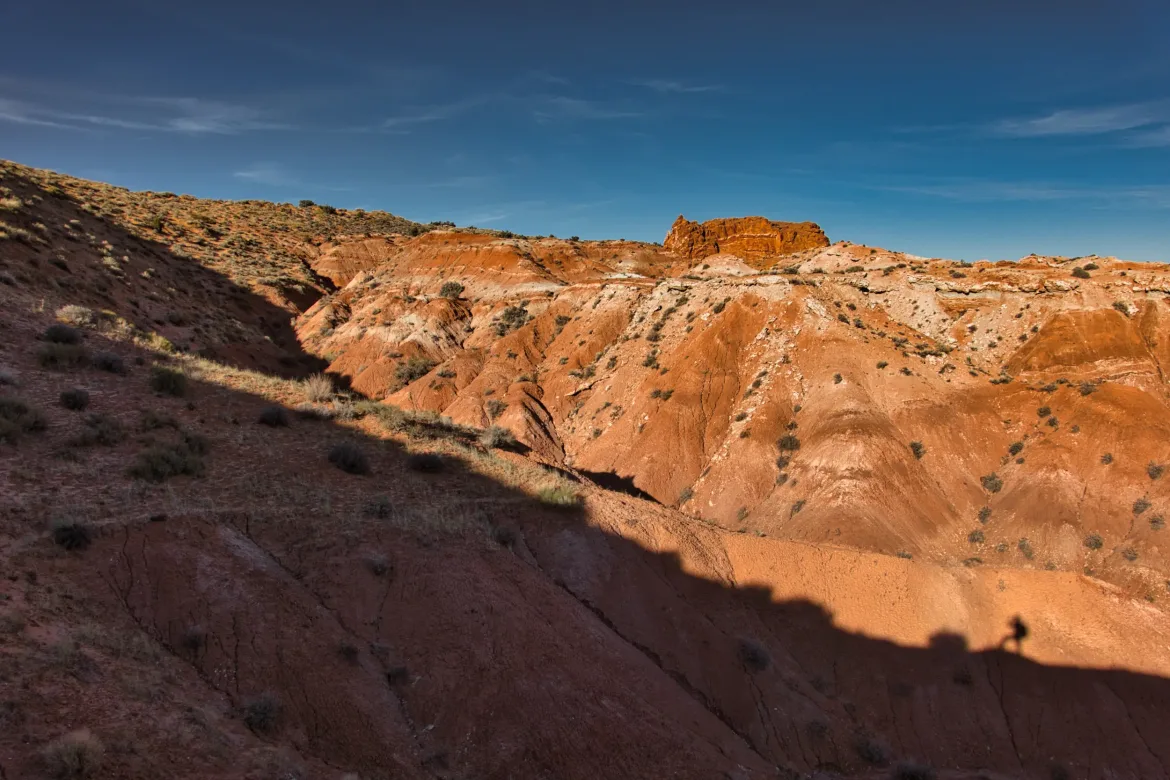
I think that turned out pretty well because the rock I walked past on the rim was very scenic with lots of swirling designs of many colors in the stone. Beautiful rock. I worked my way over to the head of the box canyon, and there was definitely a big pour over there. There might have been a way around it, but I think I made the right decision to go around the canyon vice up it.
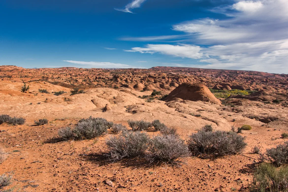
I had more cross country after the canyon, which wasn’t too difficult except there was a huge amount of cryptobiotic soil and no way for me to avoid it. I just had to do my best to follow the game trails to minimize my impact. There were some steep dirt slopes but nothing too difficult. I met up with a 4×4 track, and after walking down it a couple of miles, I found a clear campsite, which was the first one I’d seen in a while. This was around when I was going to stop for the night, so I decided to set up camp.