
Start: Swap Canyon outside Capitol Reef National Park
Finish: Fountain Tanks
Daily Mileage: 25.2
Trip Mileage: 317.8
Elevation gain/loss: 1651/2137ft
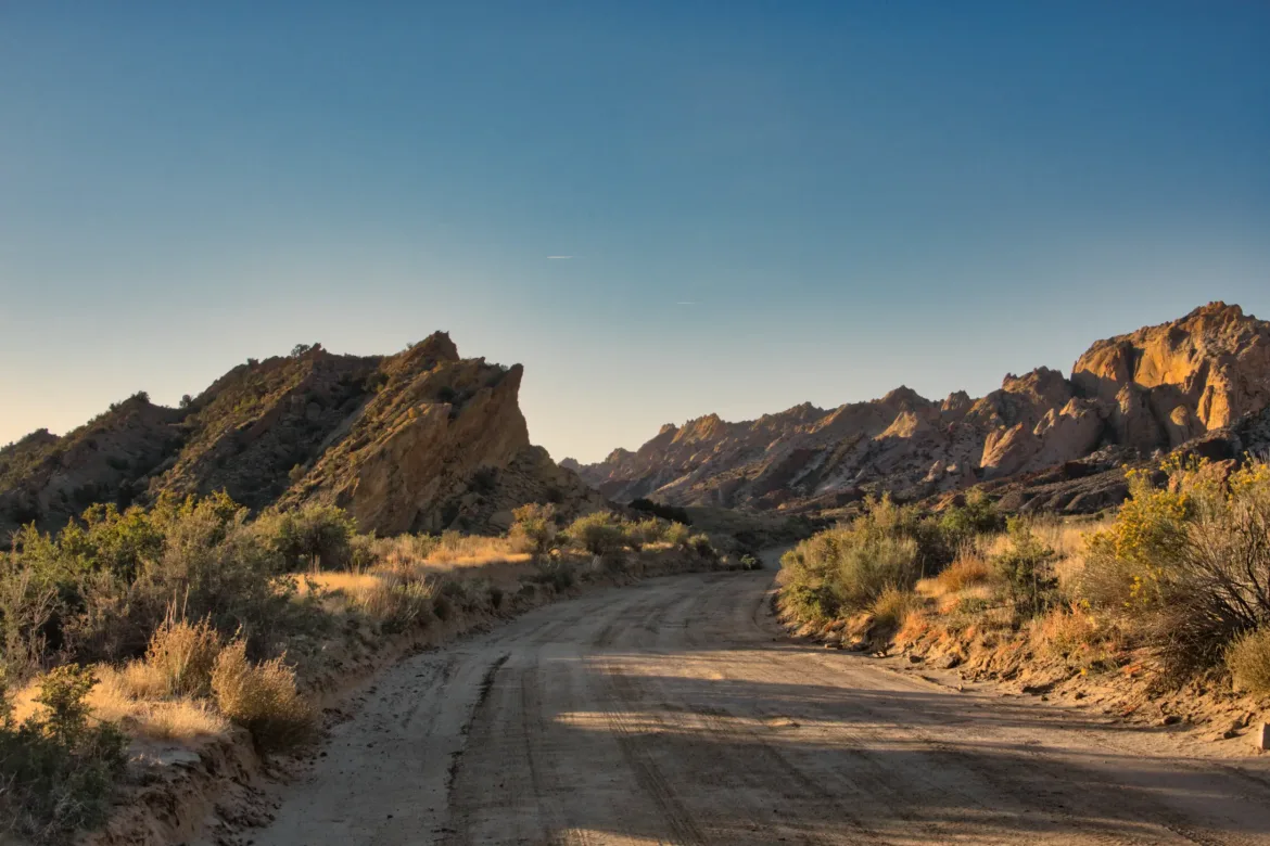
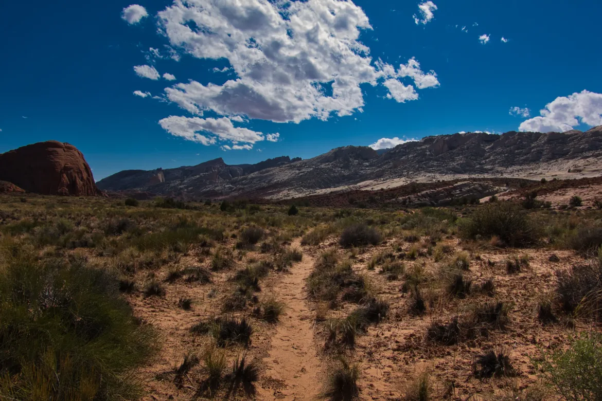
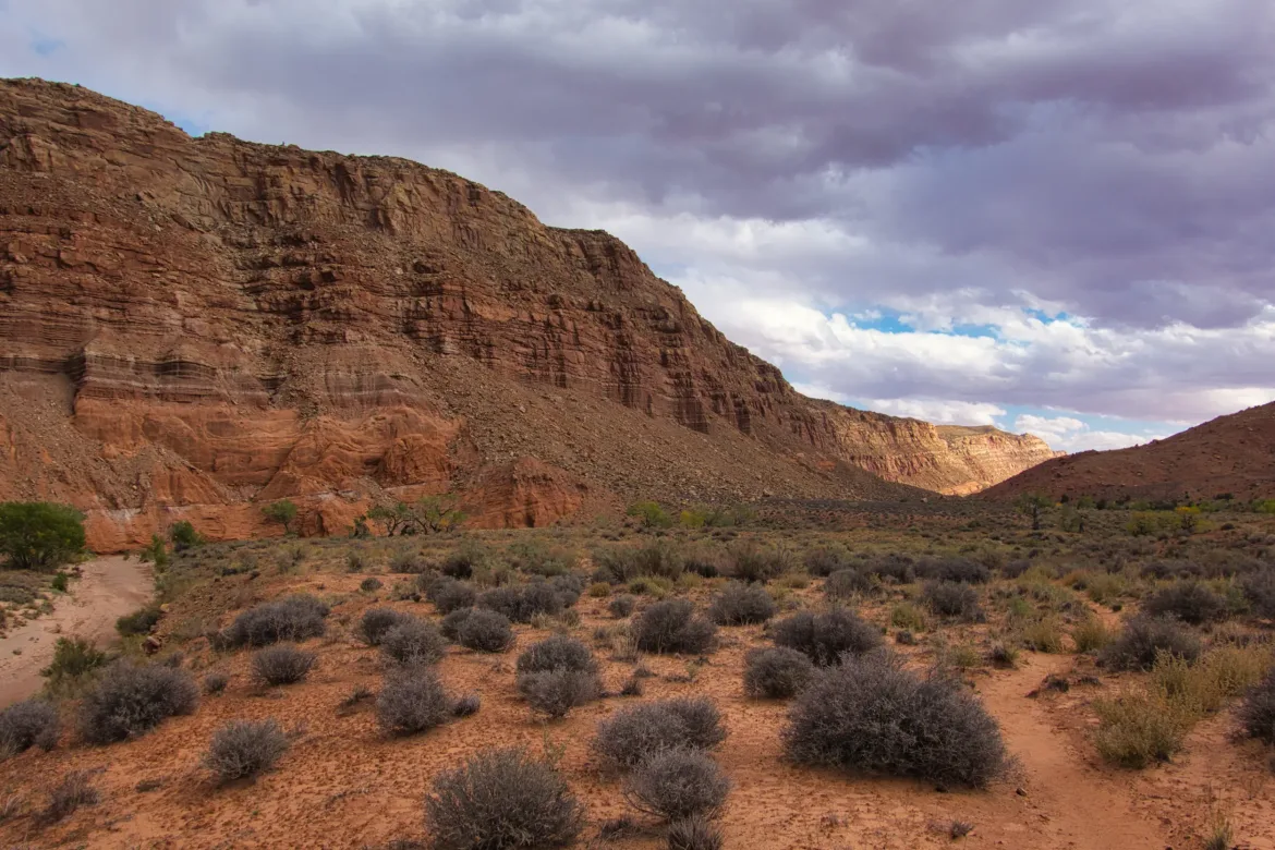
Hitting the trail this morning, I found I was very close to the fence that defined the national park boundary. I had definitely camped at the last place I could before hitting the boundary. The remainder of Swap Canyon was pretty easy, a smooth stroll down to Hall’s Creek and Bullfrog Road running up the rift valley of Capitol Reef. There are a couple of options here, and I chose to go up Burr Trail Road, which is the official Hayduke route. I’ve heard some complaints about going up the road versus taking a trail further down, but I decided that I wanted to hit all of Muley Twist Canyon that I could.
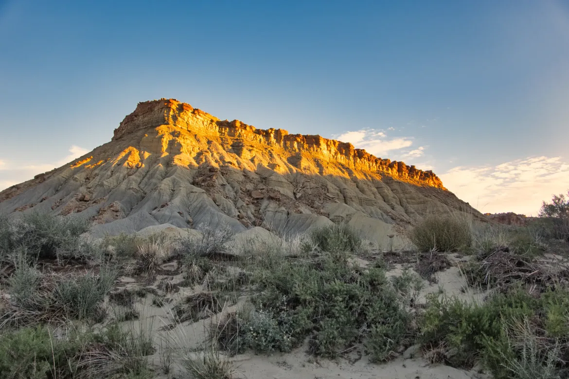
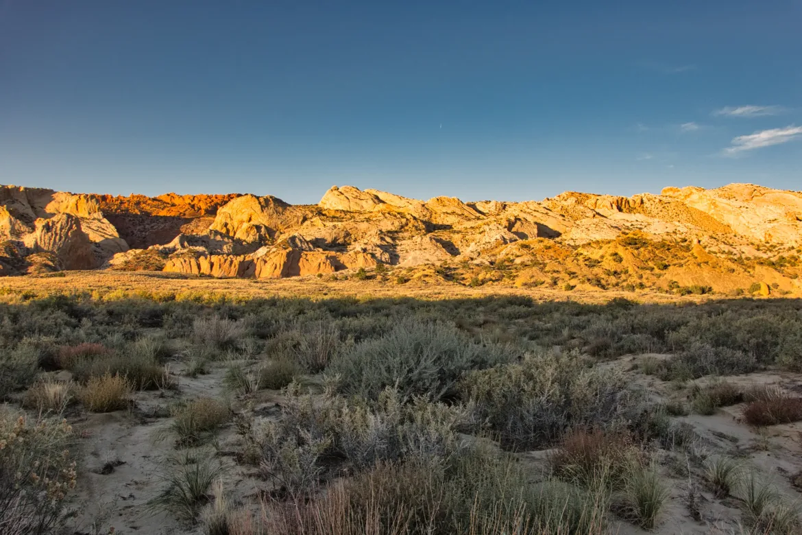
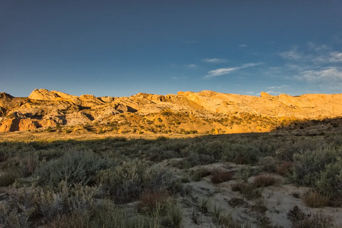
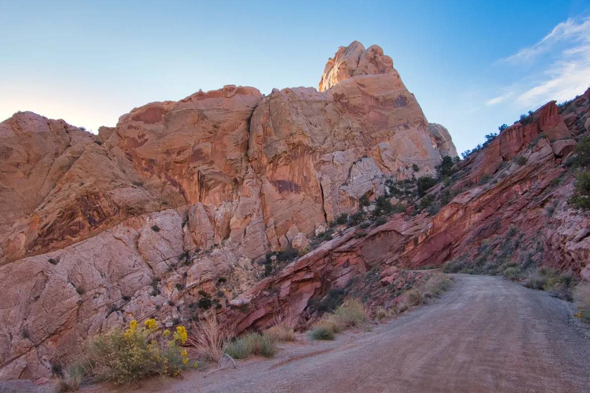
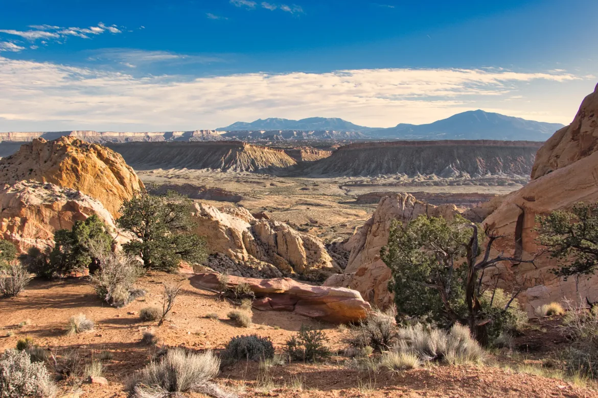
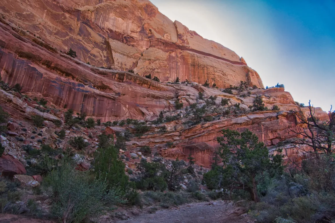
I started up Burr Trail Road, which is a switchback road going straight up the Waterpocket Fold, which is a 100-mile long folded rift in the earth which defines the national park. I actually rather enjoyed the road since it gave me progressive views across the valley and up the slanted rock forming the Waterpocket Fold that I was crossing through. It didn’t take too long to get up to the top, and I took a good break up at the top to enjoy the scenery.
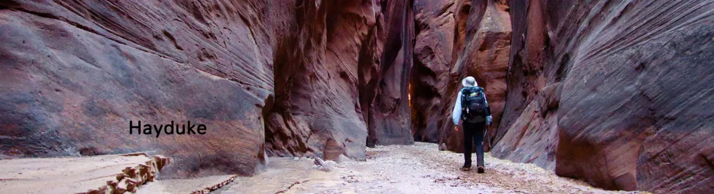
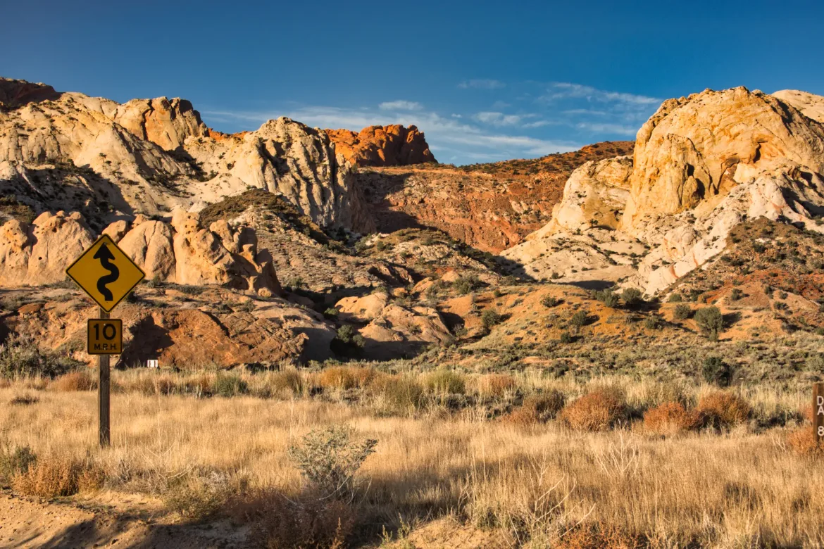
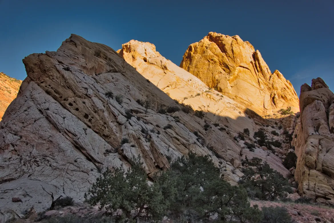
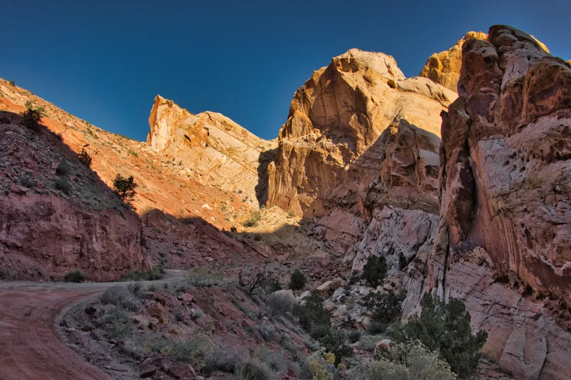
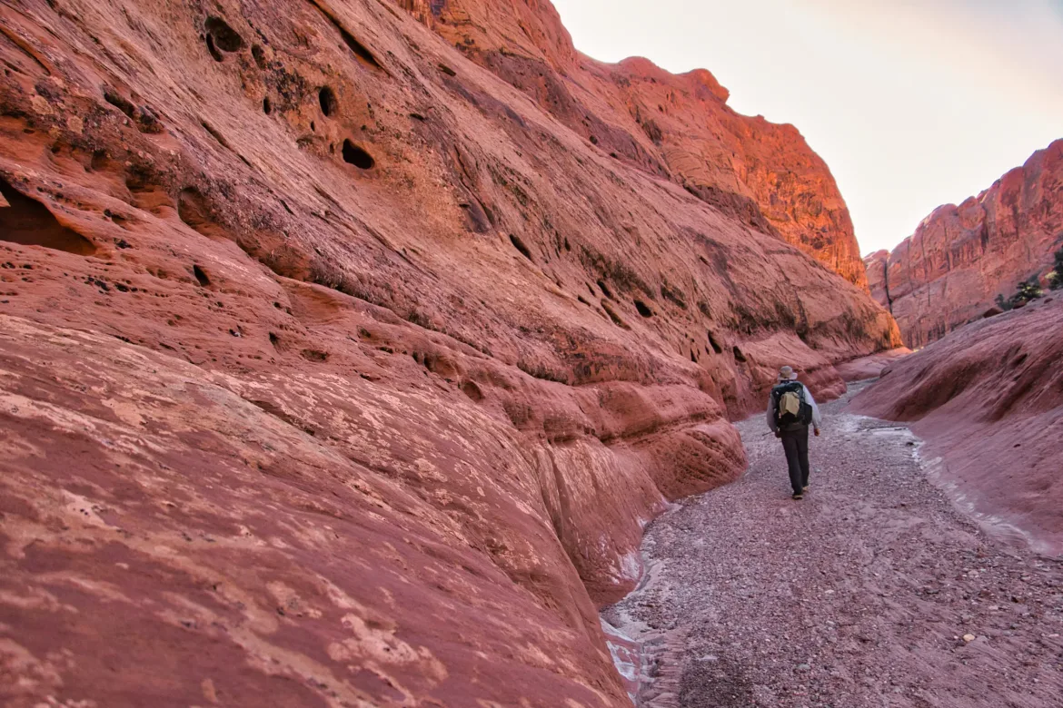
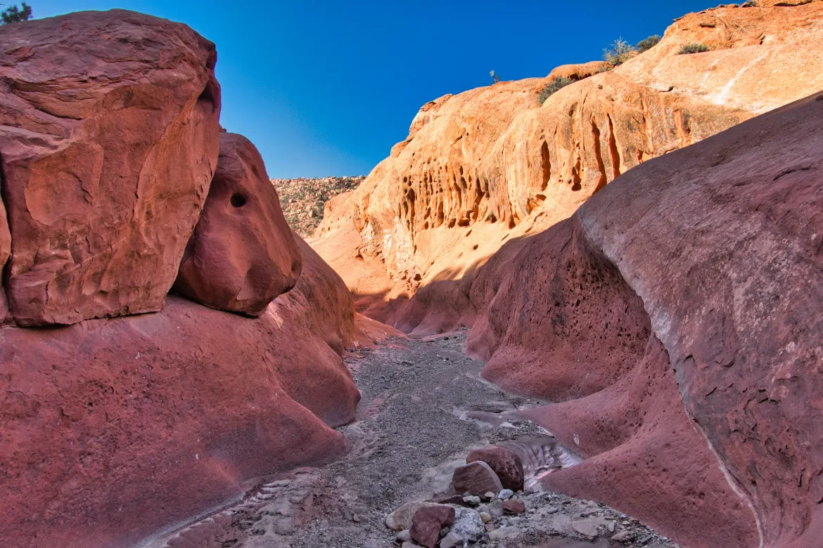
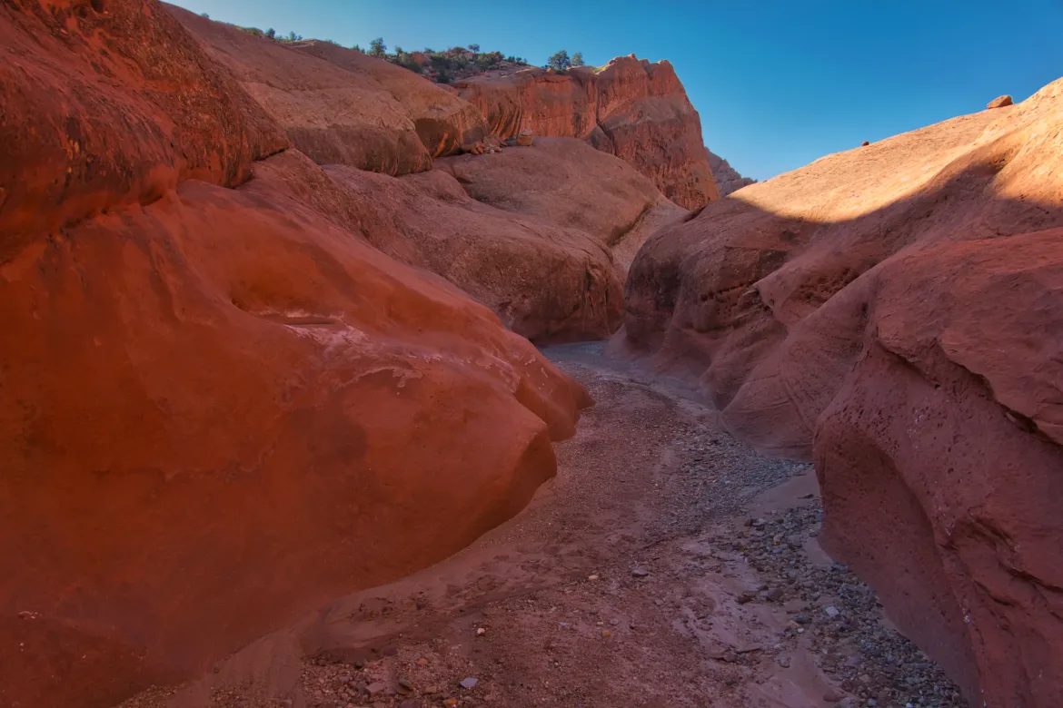
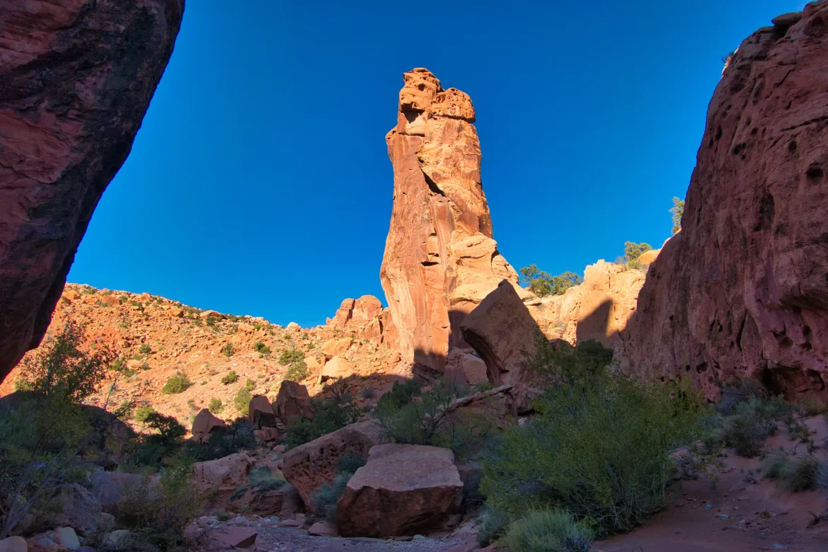
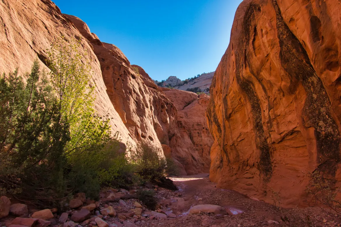
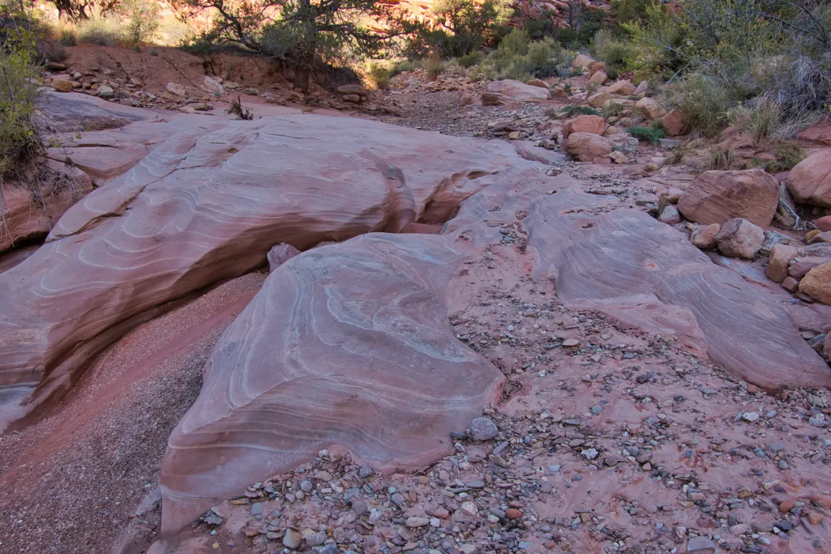
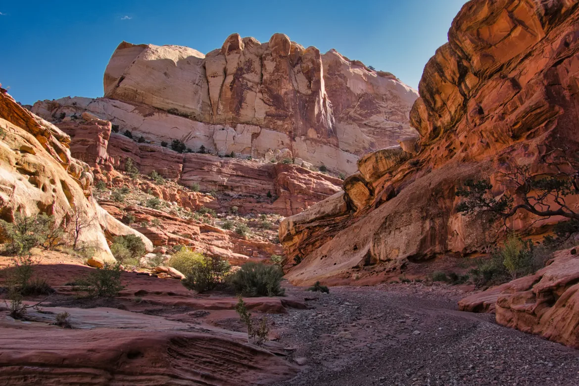
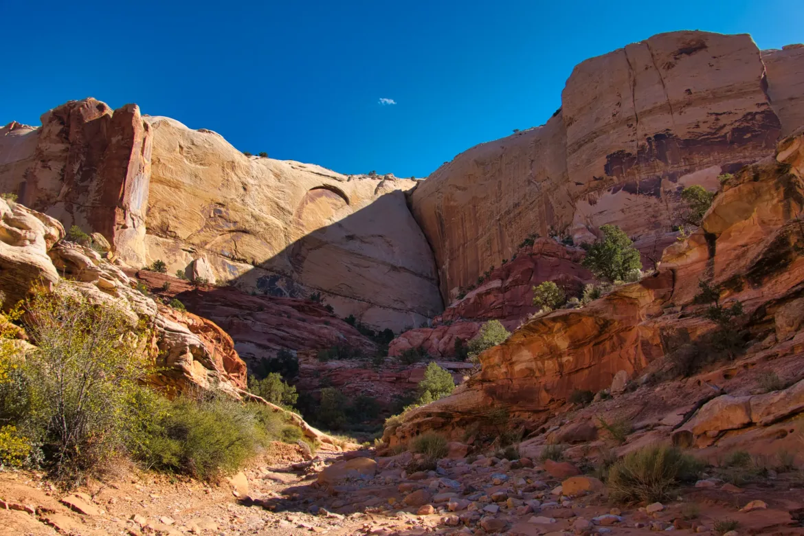
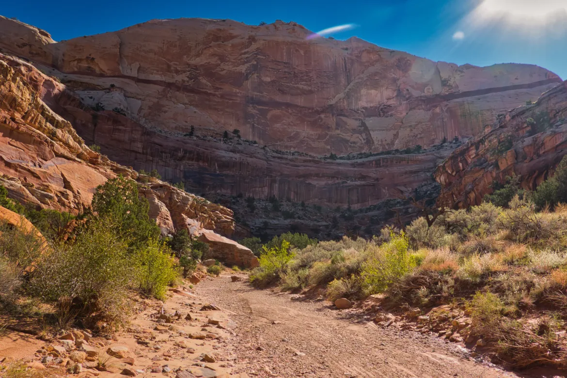
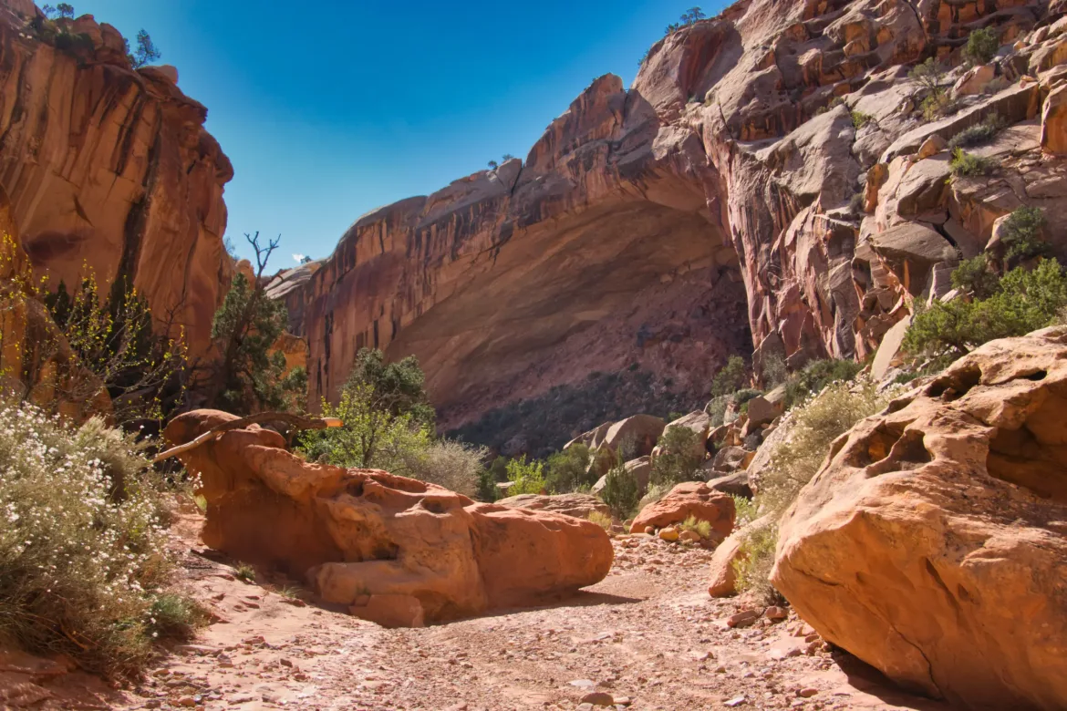
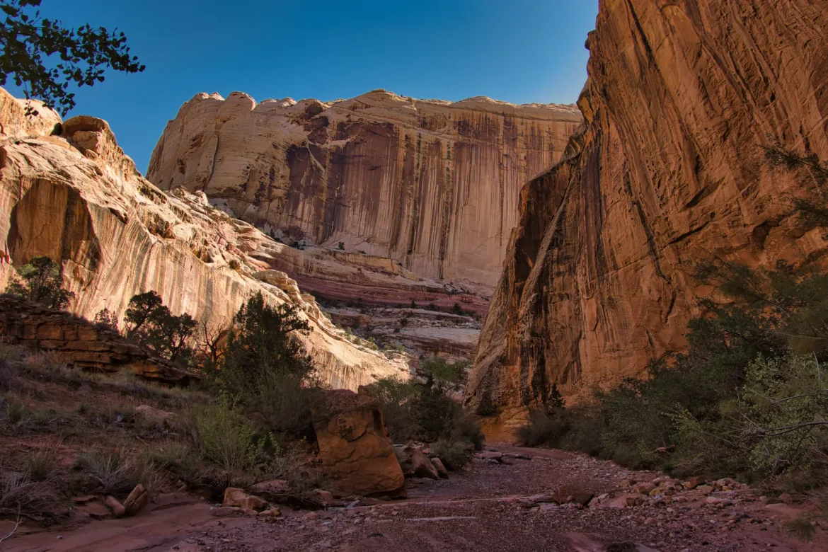
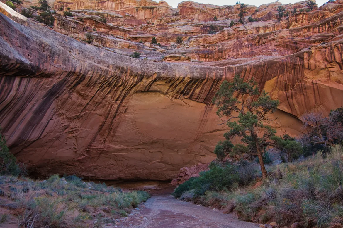
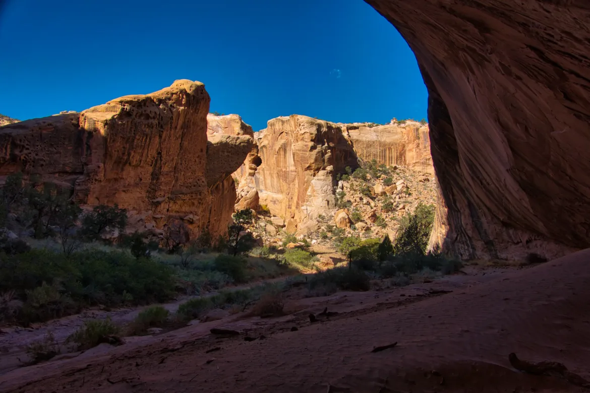
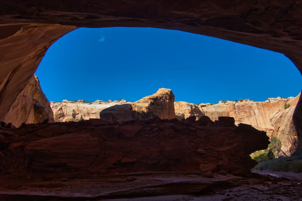
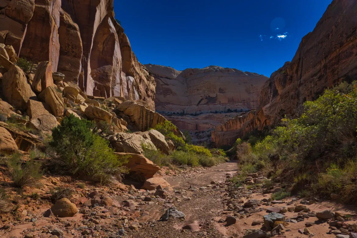
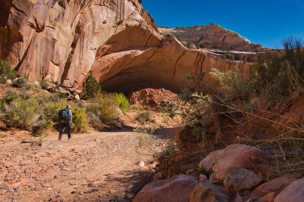
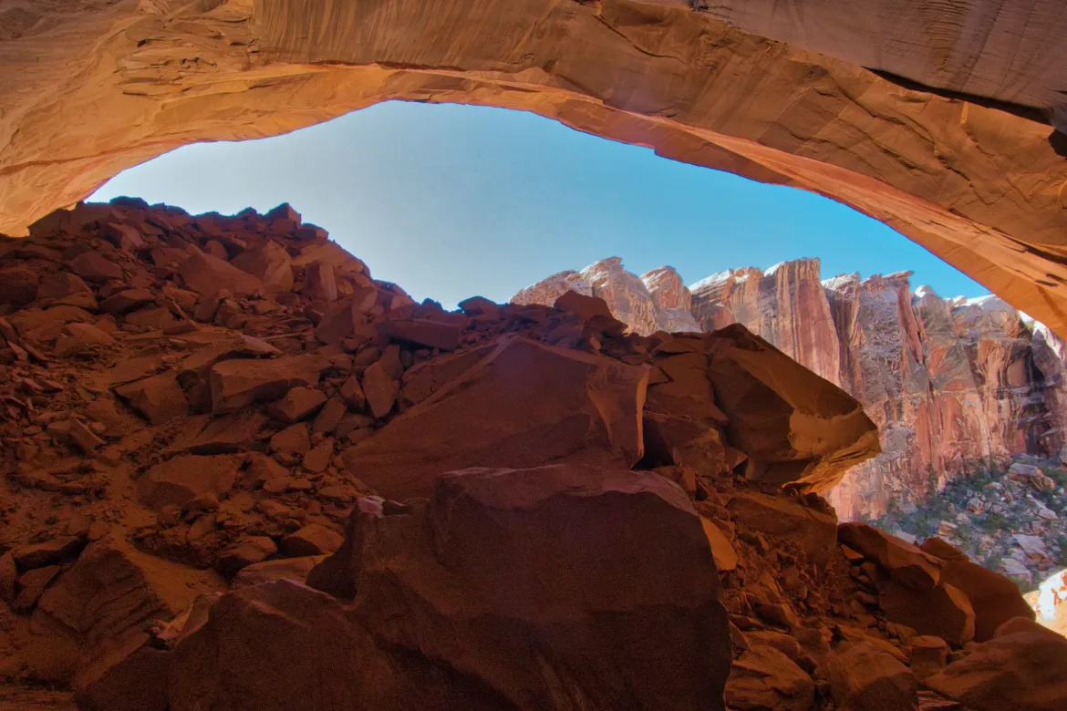
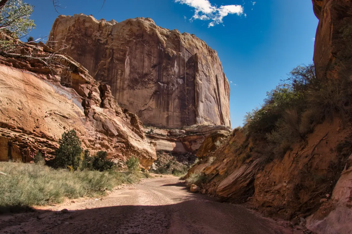
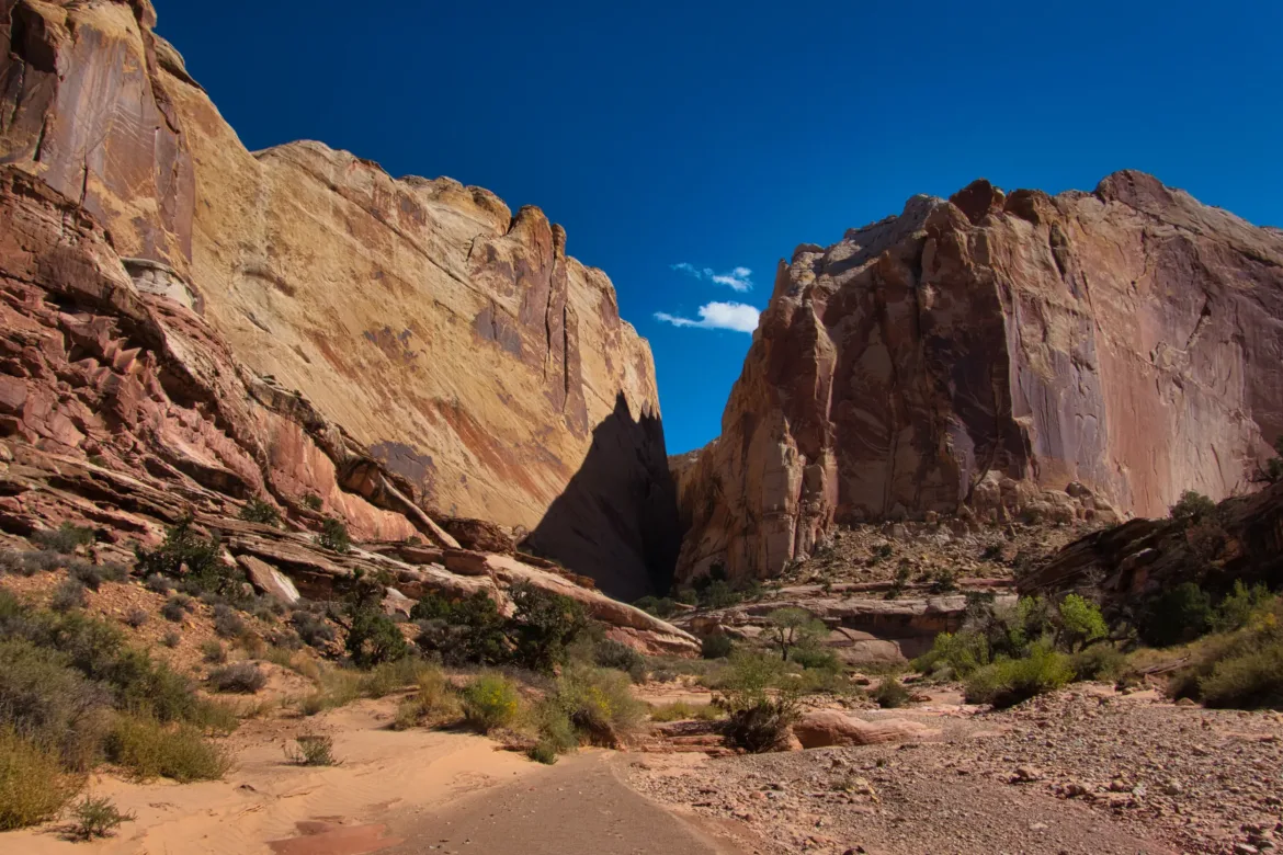
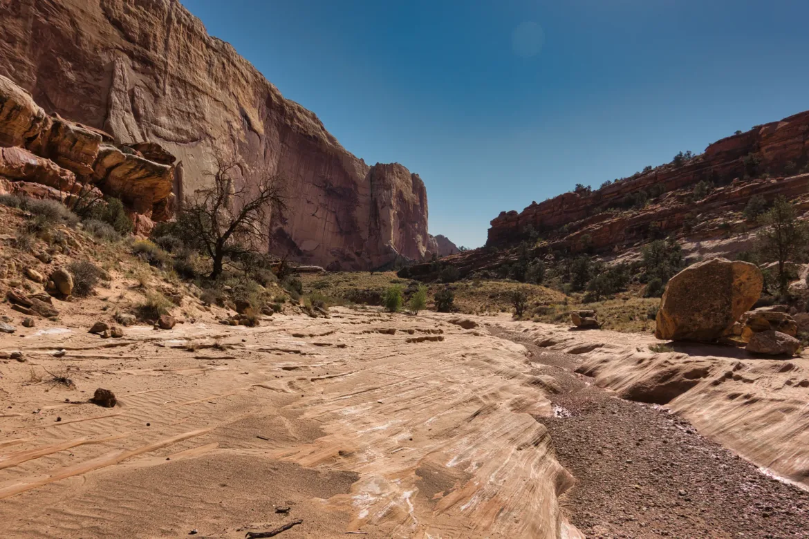
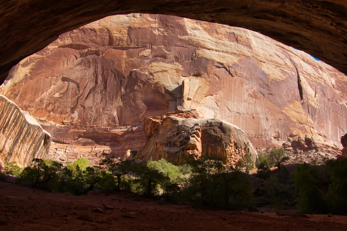
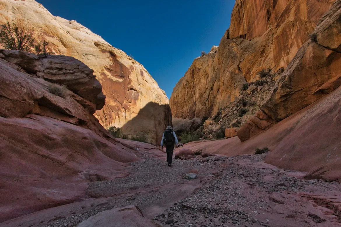
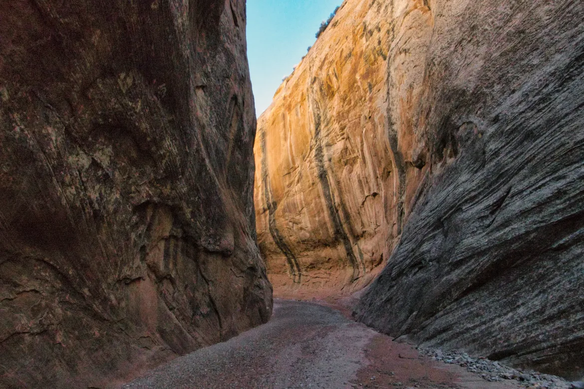
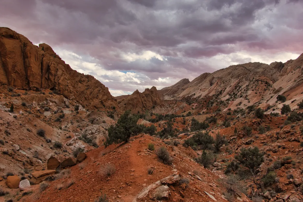
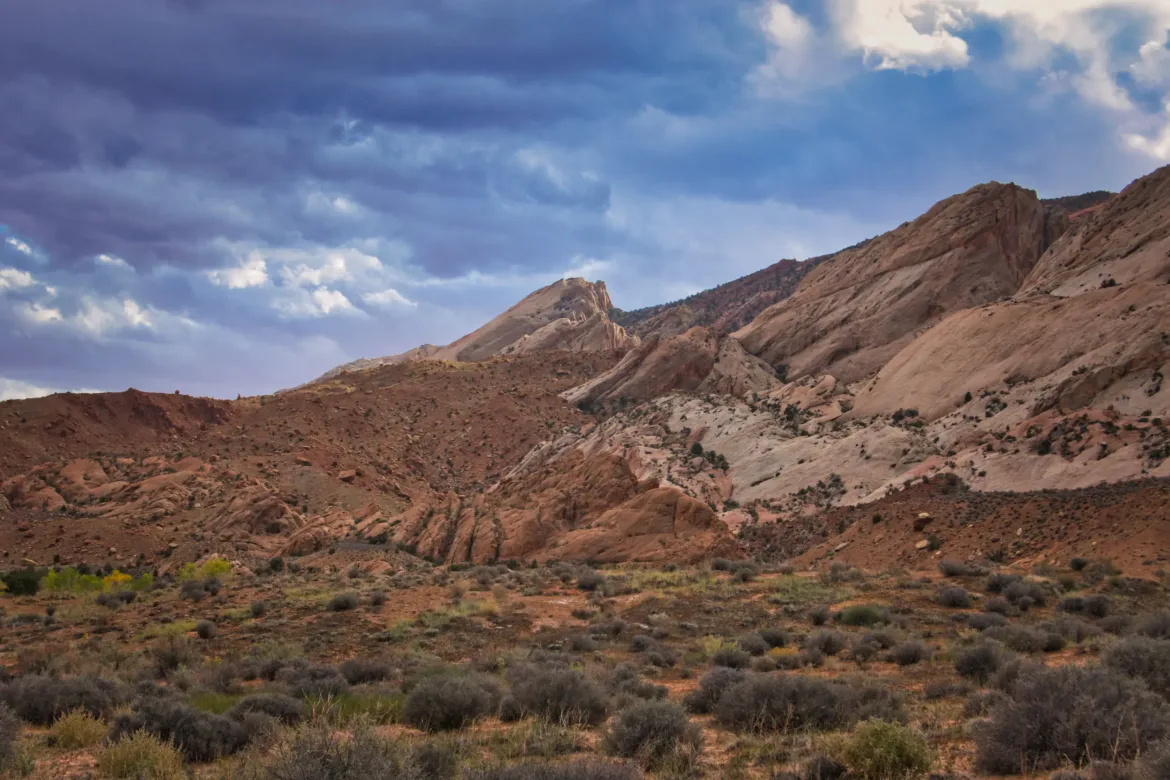
I immediately entered Muley Twist Canyon. The canyon is apparently named Muley Twist because it has so many turns that it could twist up a mule passing through it. Or so the guidebook said. The canyon was fantastic for its entire length. The upper part of the canyon was a little bit wider, but the walls were sheer the entire time, almost, and the stone was mostly white sandstone. The canyon did twist around quite a bit, but I’ve definitely been in twistier canyons so far on this trip. The scenery was spectacular in the canyon, and I thoroughly enjoyed it. As the wash went back and forth, it created some huge undercuts and caves in the canyon walls. Some of these undercuts were 100 feet tall and deep. It’s amazing that a stream that only flows periodically can have such a drastic effect on the landscape.
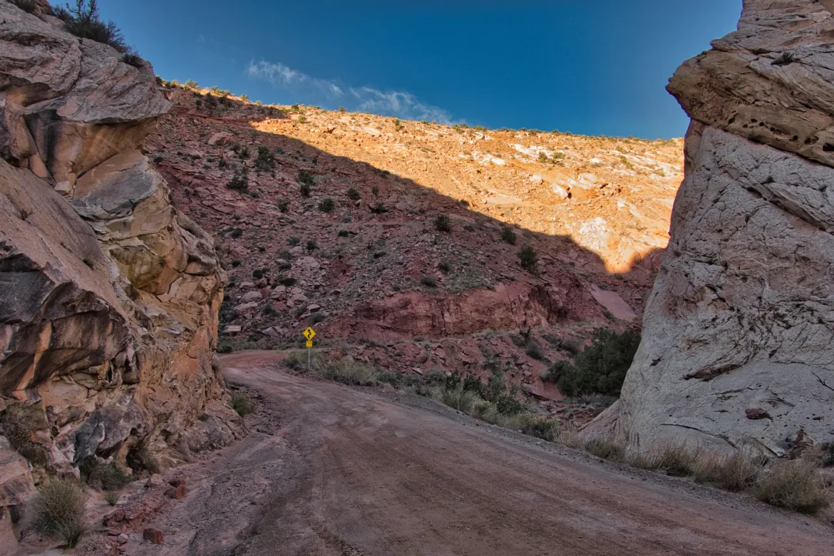
It was generally easy walking down the canyon and in the wash, and there were some footsteps since the canyon can be accessed directly from the road. I felt great going down the canyon; it was truly awe-inspiring and raised my spirits high. I did meet some backpackers in the canyon, and we talked about the trail. A ranger had warned them that Halls Creek Narrows, which I would be passing through tomorrow, involved swimming and a lot of quicksand. I had heard there was water but not more than that, so I’m not sure what to expect of the Narrows.
I saw 2 bighorn sheep in the canyon! A nice treat, they can be hard to spot.
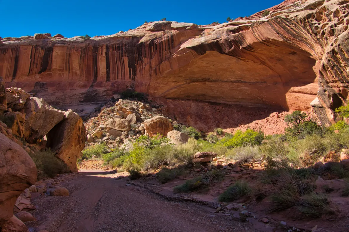
The canyon continued on, with new surprises at every twist. Lower in the canyon, there were many huge alcoves, cut out of the stone with the periodic flow of the wash.
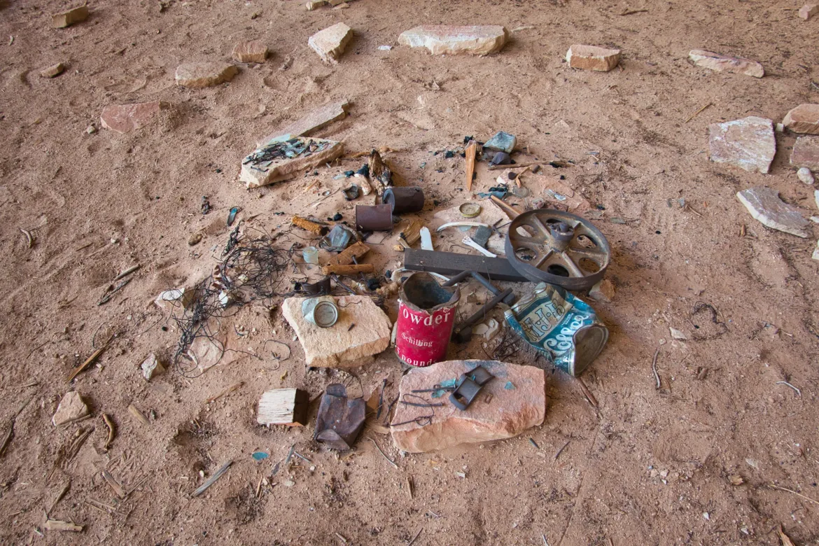
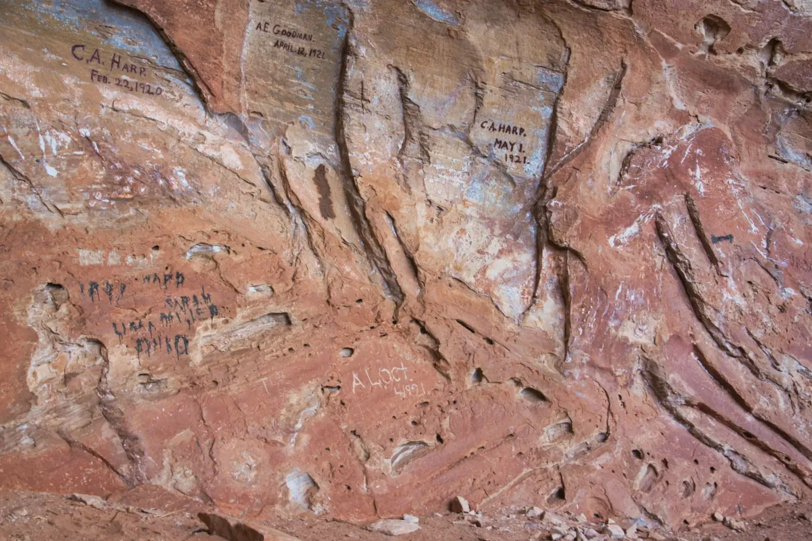
Muley Twist Canyon had been used back in the day to run cattle, and there were periodic signs of the former cowboy presence. One huge alcove had some cowboy graffiti from 100 years ago and some things they had left behind. I initially thought the graffiti was recent since some of the dates were -20 and -21, but I realized that those were actually from 100 years ago, not recently.
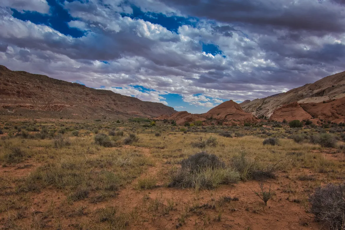
The canyon took a turn and passed through the Waterpocket Fold, joining Halls Creek and the valley which I had departed from earlier. From there, I was just following Halls Creek down for the rest of the day, hoping to get close to the Narrows.
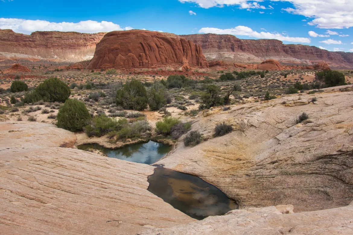
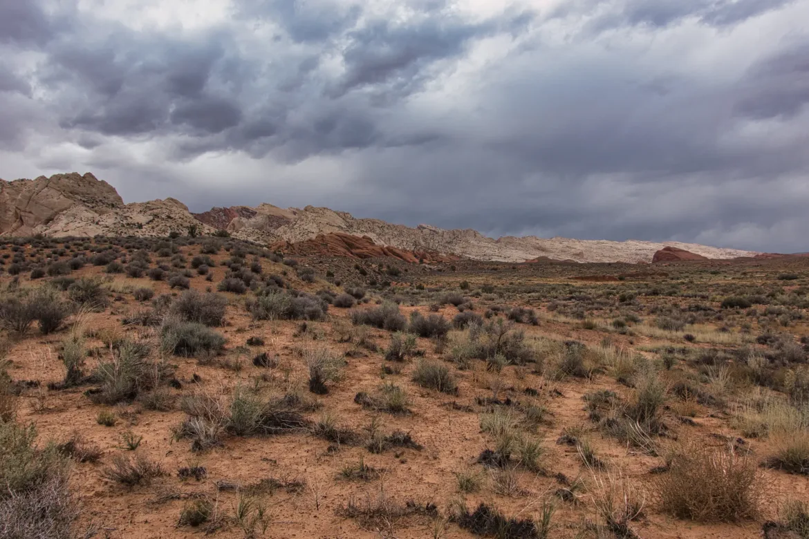
I stopped by the Muley Tanks to get water. They’re huge natural stone basins in the Waterpocket Fold that hold rainwater whenever it comes, and they were definitely brimming when I passed them. A great water source. As I progressed down the canyon, some dark clouds started to roll in. A couple of times there were a few sprinkles, but nothing that really stuck.
I bumped into two more backpackers later in the day who had just gone through the Narrows, and they told me it was only up to their waist, and they didn’t have any problems with quicksand. That sounds more realistic, and I assume the ranger was just talking about possible worst-case conditions since they tend to do that to warn people away from the backcountry. I asked them about campsites ahead since they were few clear spots going down the creek. They told me about a couple of places.
I continued down. The dark clouds remained, and at one point, the sprinkles got a little bit harder. I decided to put on my rain gear since that usually wards off rain. I did all that and looked at my GPS and realized I was exactly at one of the campsites that the backpackers had mentioned, the campsite that I had decided I was targeting. It was just on the other side of the creek at some more tanks in the sandstone. Oh well, I guess putting on my rain gear was a fruitless exercise. I went over to the tanks and found a nice protected spot. There was a lot of gusty wind, so I also wanted a spot where my tent wouldn’t be fully exposed to the wind and keep me up with flapping all night. I set up my tent, and it started to sprinkle more, so I decided to just dive into the tent for the night.
The hike down Muley Twist was truly fantastic and awe inspiring today. It is probably my favorite part of the trip so far!