
Start: Colorado River
Finish: Lockhart Basin
Daily Mileage: 21.7
Trip Mileage: 82.2
Elevation gain/loss: 2232/1670ft
It sprinkled off and on throughout the night but by the time I woke up my tent had dried in the desert wind and dry air. It’s always so much easier to pack up a dry camp. I got on the trail at first light once again and continued on the 4×4 track I had been following. However, this morning there was no traffic or maybe I was just out too early. I didn’t see anyone on the road at all.
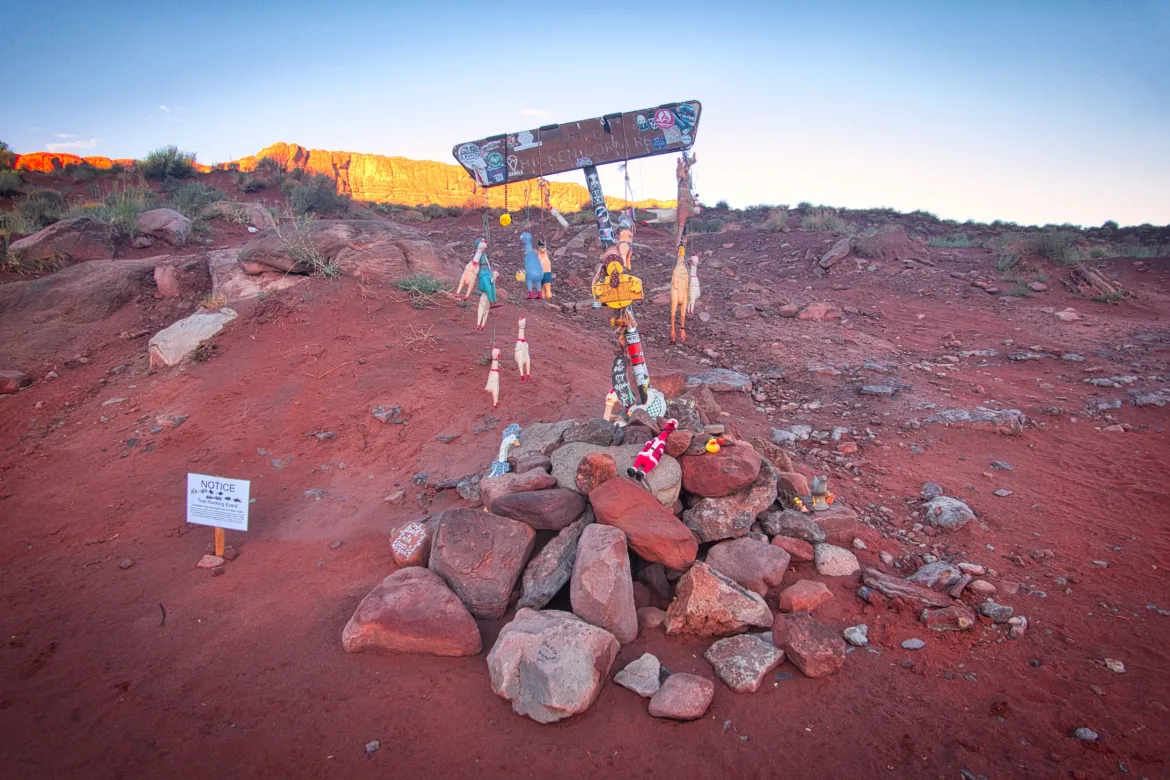
There’s a road junction called Chicken Corners which had a sign fabulously decorated with many rubber chickens. It was quite a remote place and someone had to think way ahead to do that.
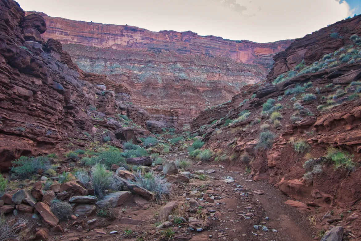
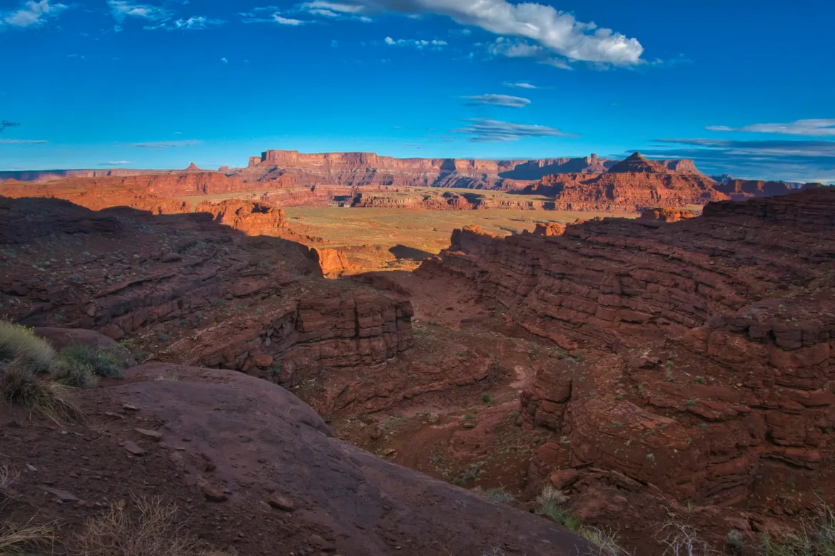
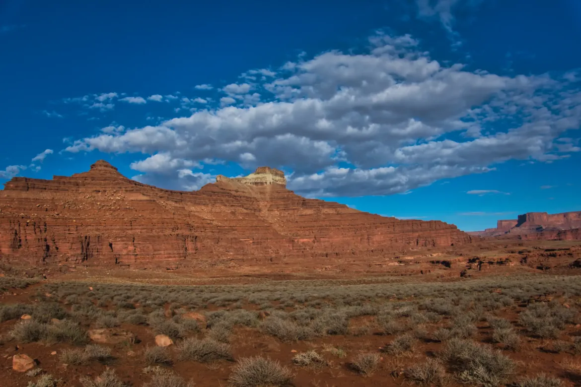
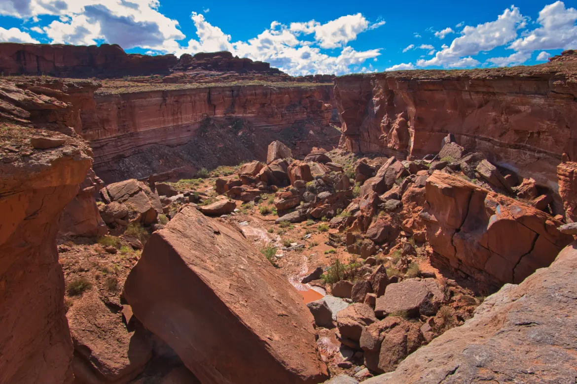
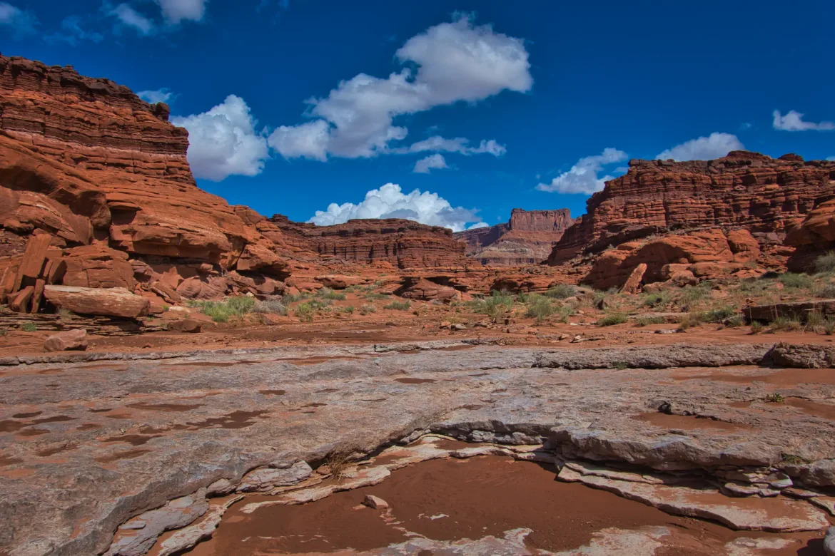
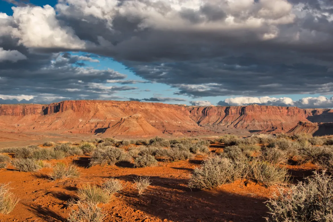
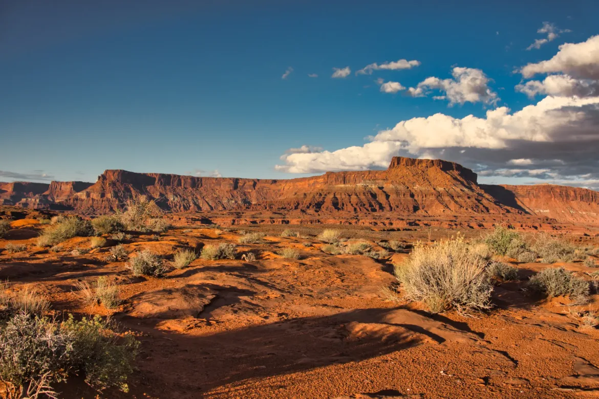
My track parted ways with the main road and went straight up a dry gully. Nice walking in a tight canyon with layers of rock walls. I followed the smaller 4×4 track for about 15 miles before I turned off it. The track was very scenic, winding through canyons and around and along immense cliff walls. It was even shaded from the sun due to the height of the walls which was great.
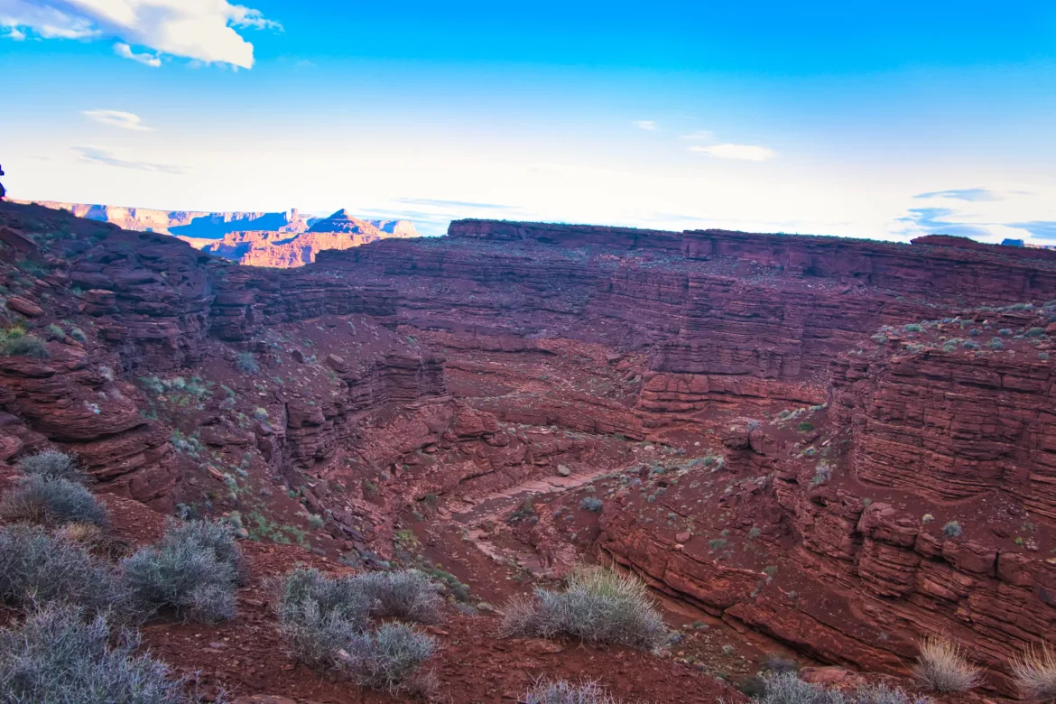
When I turned off the road, I had a few options to get into the next canyon. I picked the medium length not as difficult route. I walked cross-country for a bit before I followed a ridge down to the next lower layer of the canyon. However, I had to scout around quite a bit to figure out where to descend because there were a lot of drop offs. It took a little bit of time and scrambling, but I made it down. There’s lots of minor challenges like this throughout the day on this trail which is part of the fun of it.
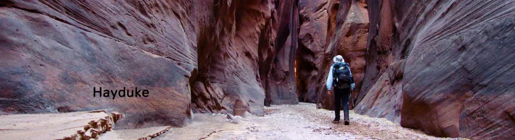
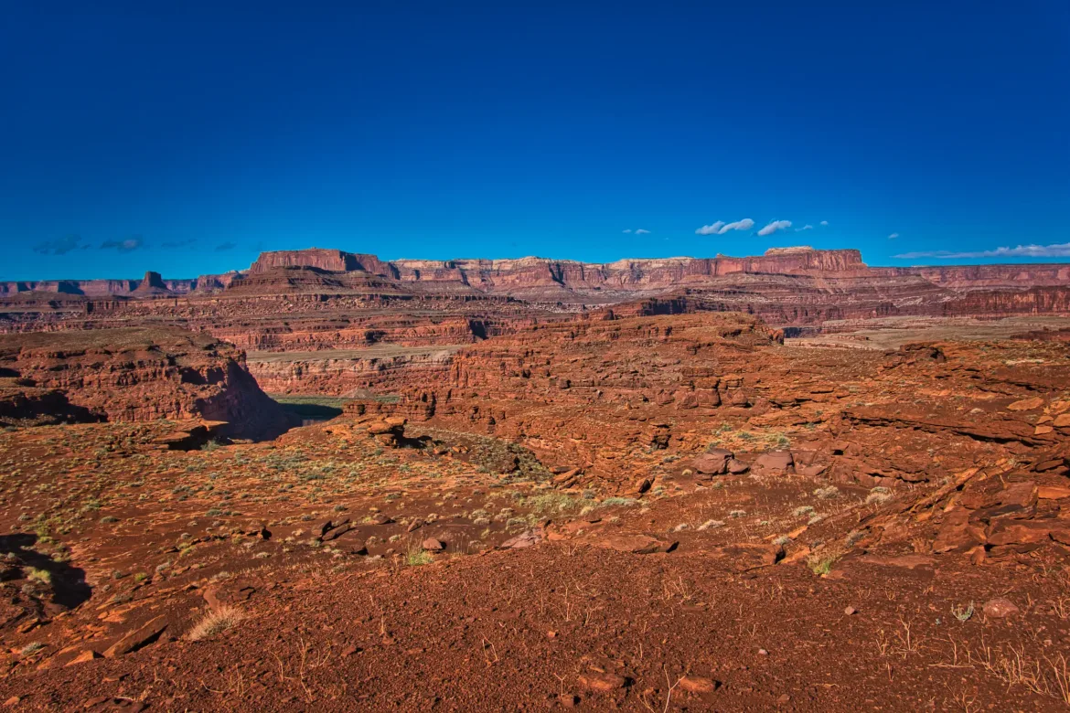
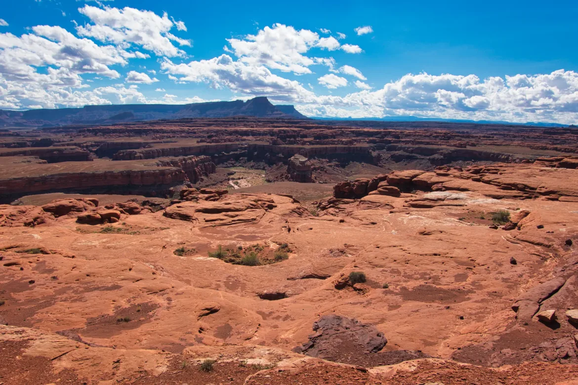
I followed the mid-canyon layer around the impenetrable lower bottom of the canyon for several miles since the walls were far too steep to descend. I was surprised to see the semblance of a foot path most likely made by Hayduke hikers since there is no other reason to be out here. I liked there being a foot path even though it made no difference in the difficulty. I feel that when there’s a path, people follow a single route and have a lower impact on the terrain especially with all the cryptobiotic soil around here.
I’ve generally been carrying around six liters of water leaving a water source. You occasionally see potholes or small puddles of water but most of those are muddy. I do have a settling agent I could use to quickly settle water, but I’d still prefer to get the best source possible to begin with. However, water is the biggest thing I’ve been thinking about out here since I am in the desert and the days are still getting warm in the high 70s or low 80s with tons of sun and mostly clear skies aside from welcome sporadic shade from canyon walls early and late in the day. This morning I did get a couple liters from a small pool I found. There was a pool with a cow patty sitting right in it and then a second smaller pool next to it, so I got water from the pool not soaking up the extra flavor from the cow patty.
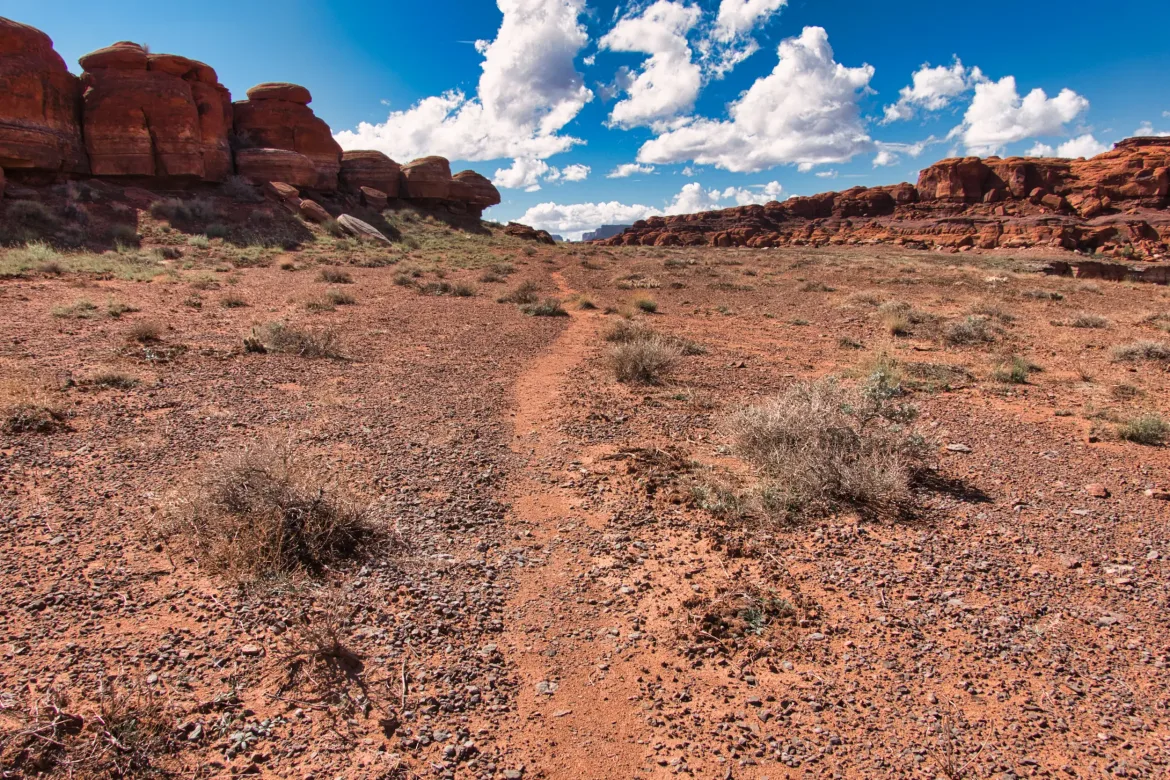
It was mostly sunny in the afternoon and got into the low 80s, so I just kept going but took a few breaks so I didn’t get too hot. That may not be too warm for some but I run warmer than most people so I struggle more in the heat. Also, I had gone pretty far today so I wasn’t really pushing for miles or anything.
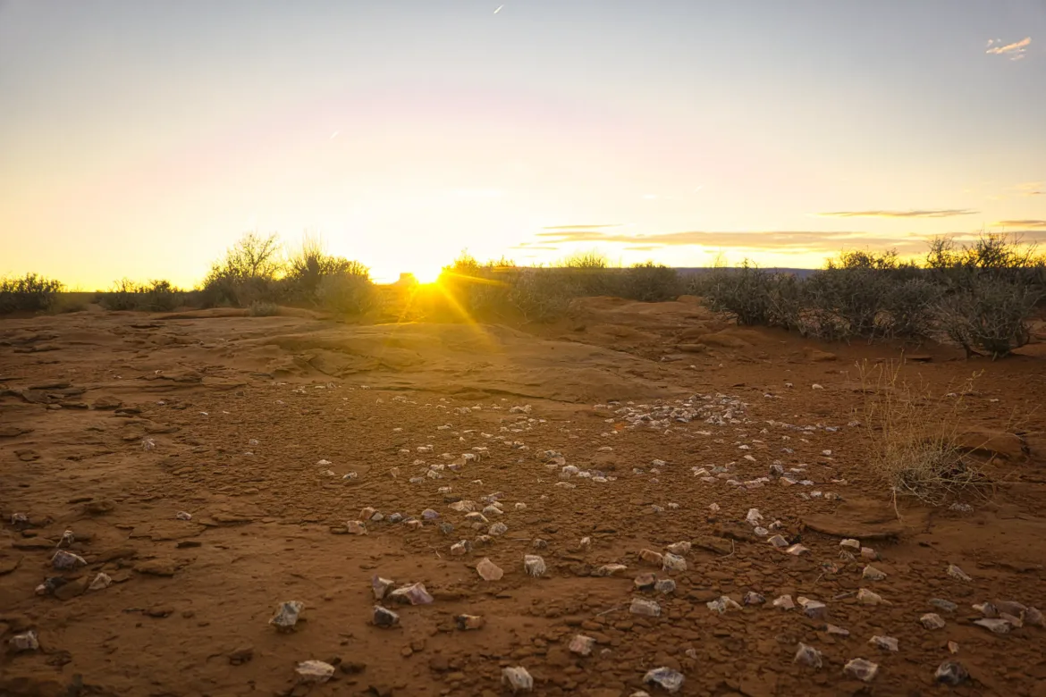
At the end of the day, I joined a bigger 4×4 track and saw a couple jeeps in the distance. One was stopped and left when I was about a quarter mile away. Too bad; I was going to ask them if they had some better water than what I was carrying. I didn’t directly see or talk to a person today. I camped on top of the hill overlooking the Lockhart Basin after exiting Lockhart Canyon. There were high cliffs surrounding the entire basin with me cowboy camping on a high point in the middle of the basin. I was able to enjoy a good sunset before bed.