
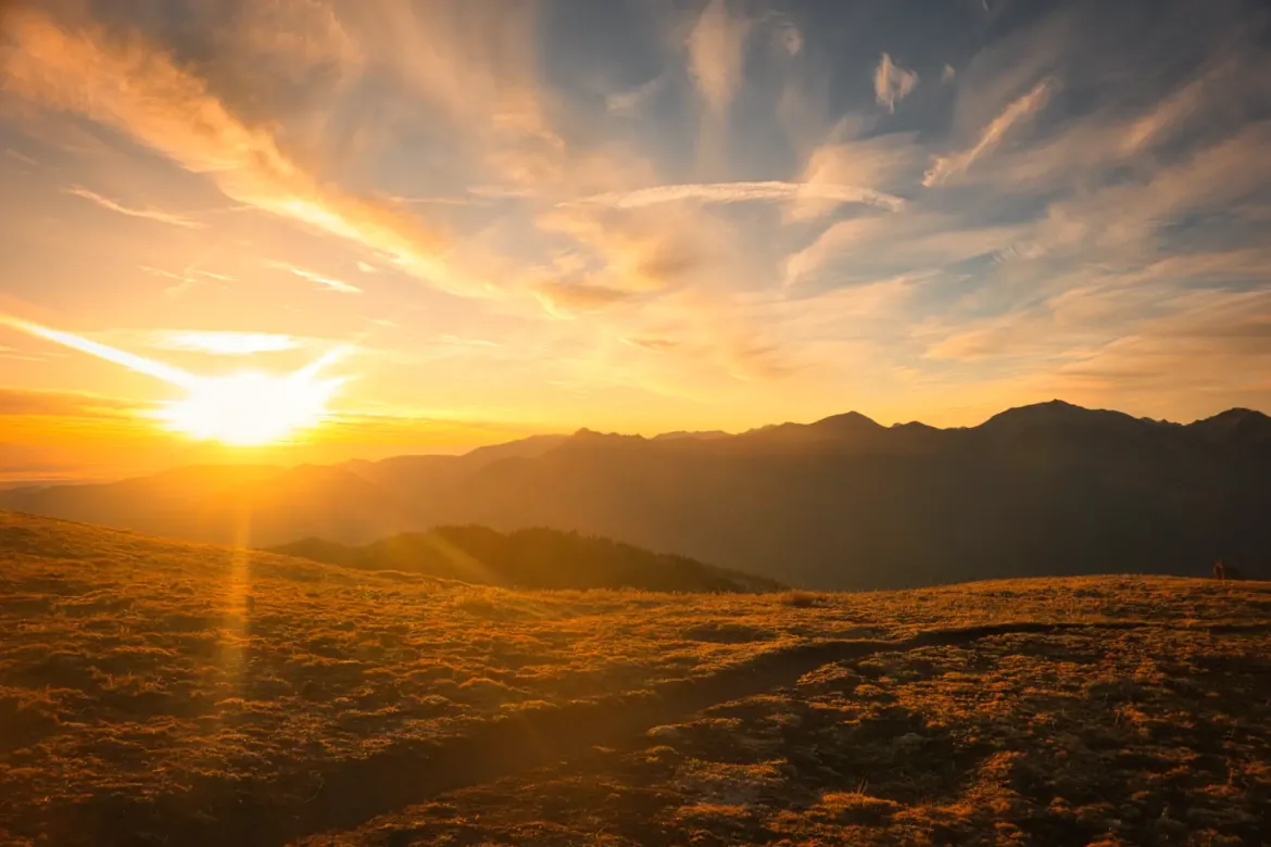
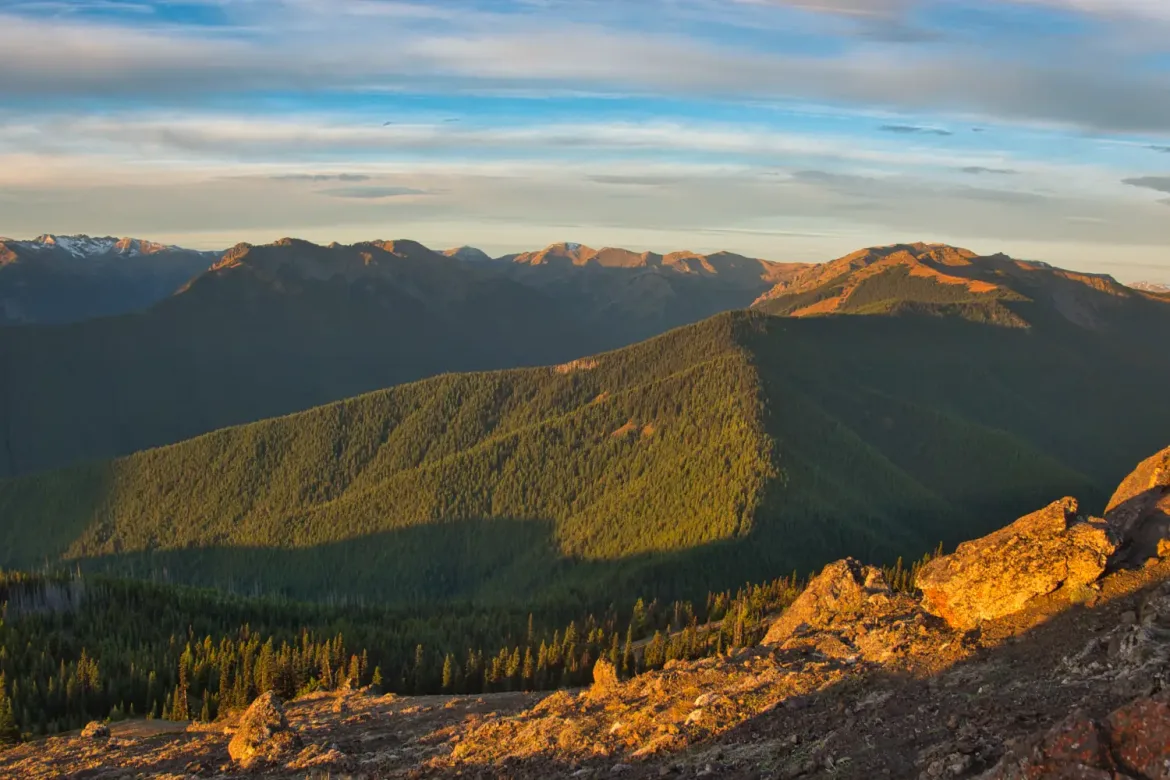
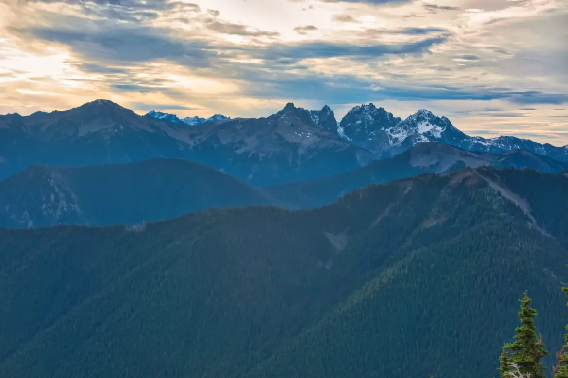
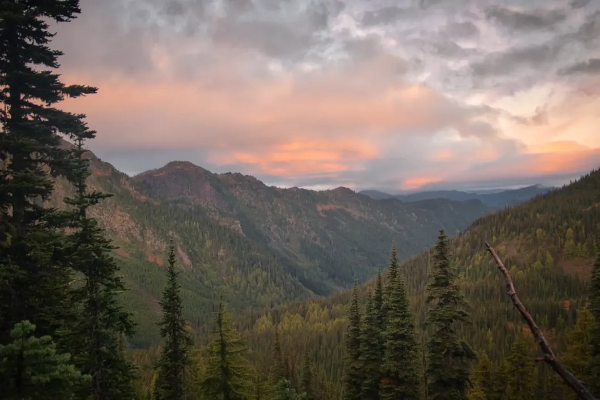
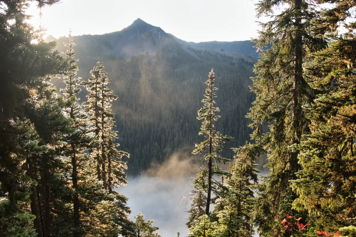
The end of the PNW high elevation backpacking season was drawing near and I had an opportunity to get out for 3 days and hike a lollipop loop linking together some alpine trails I hadn’t hiked yet. I arrived at the Olympic National Park Deer Park trailhead right at sunrise and did a quick jog to the top of Blue Mountain to see it. Great lighting over the mountains to kick off my hike!
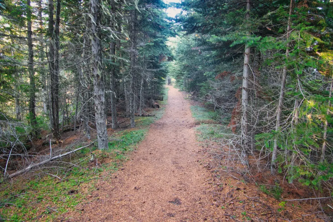
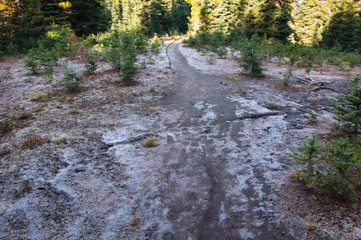
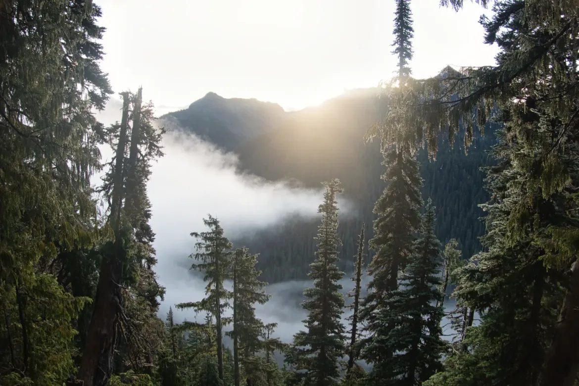
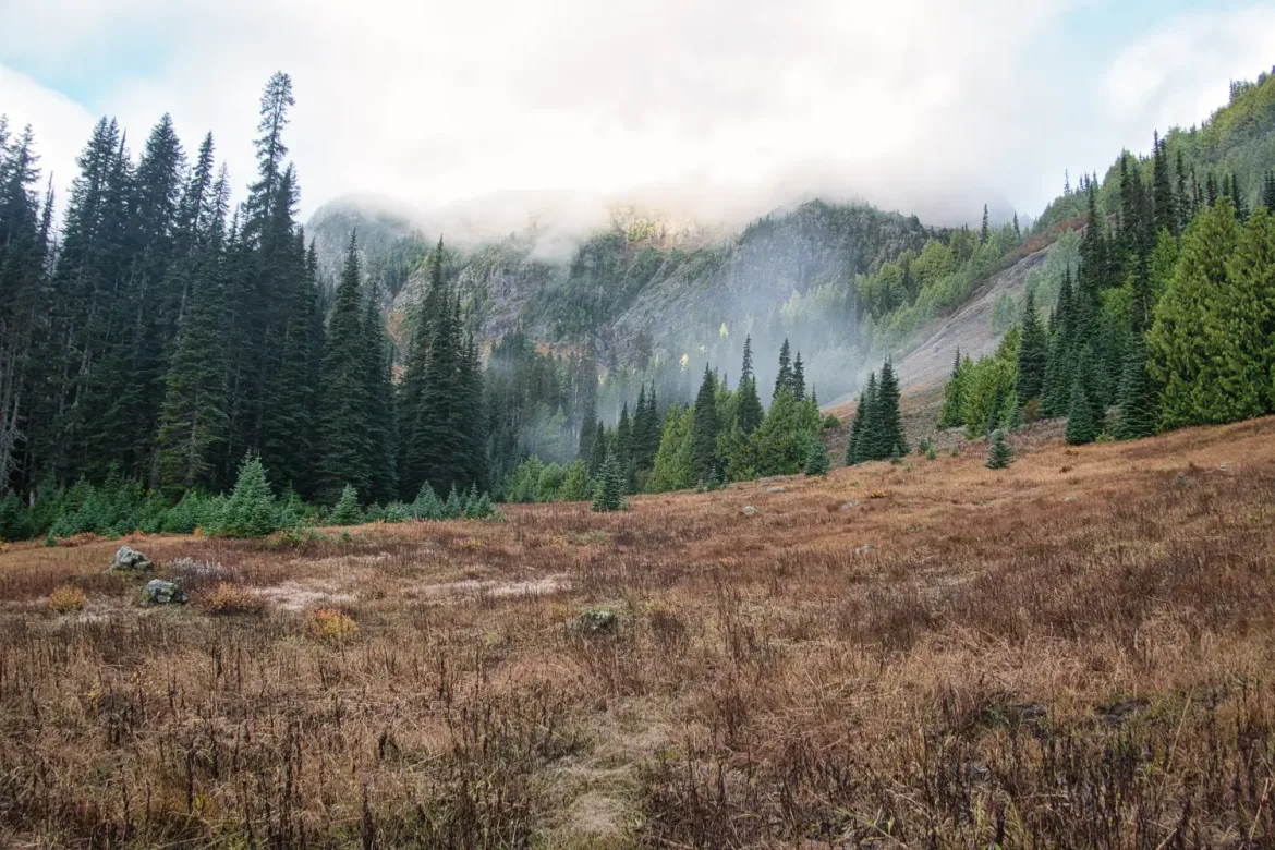
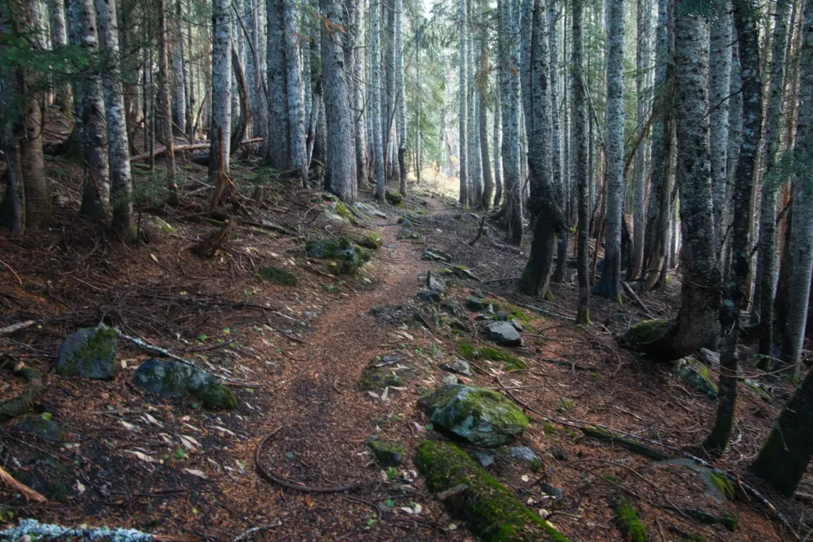
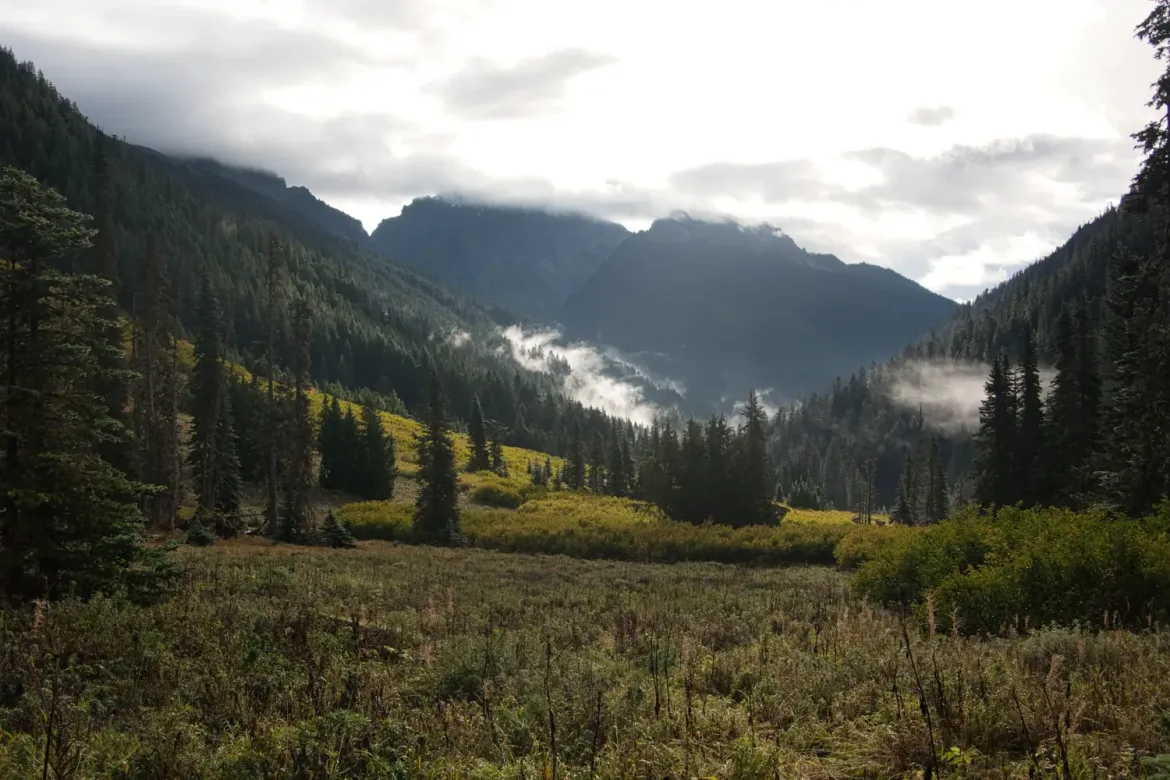
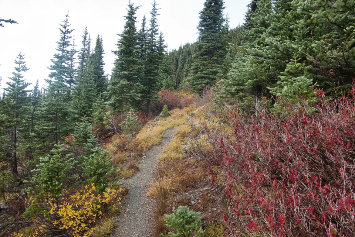
I didn’t want to dawdle since rain was forecast this afternoon and I expected to be camping at elevation, so I quickly grabbed my gear and headed out from Deer Park towards Obstruction Point. The trail started out in the forest and there were a few frosty spots along the way. I worked my way up along the ridge until I emerged above the treeline for the first of many times on this hike.
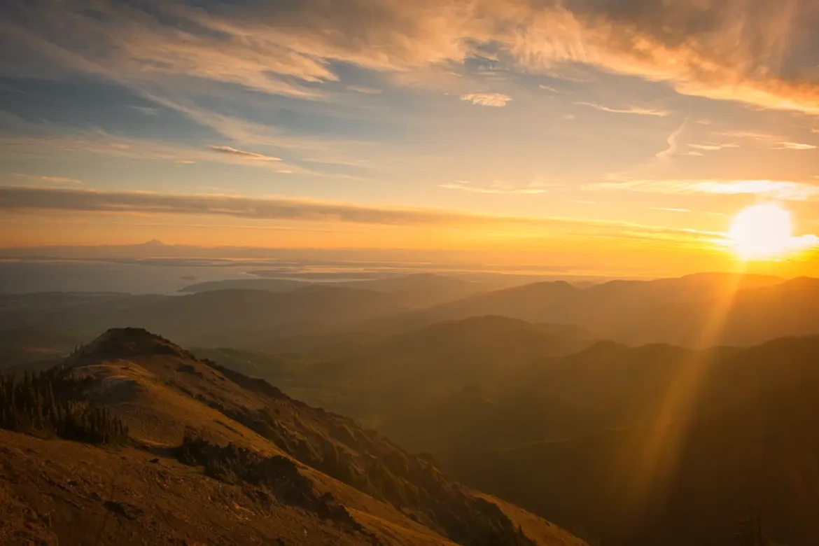
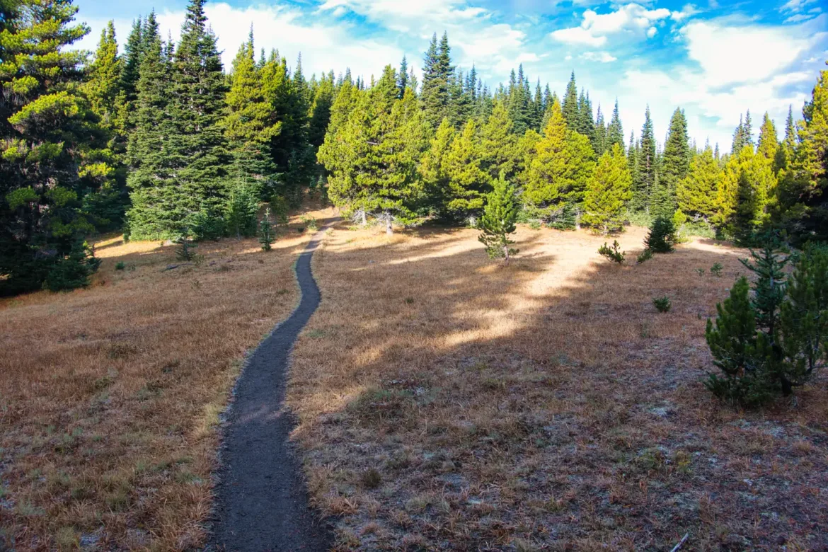
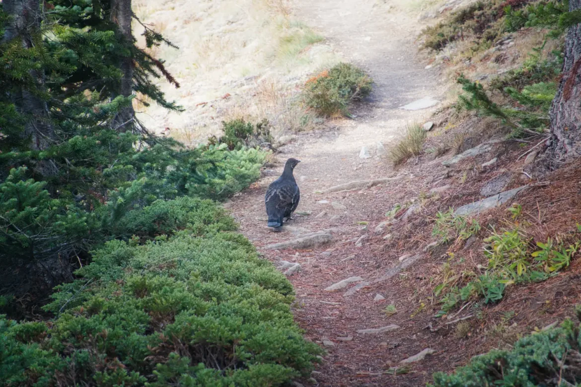
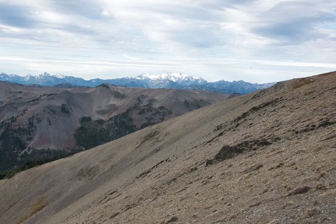
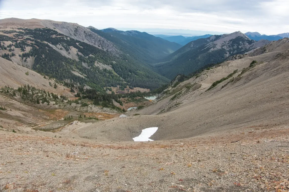
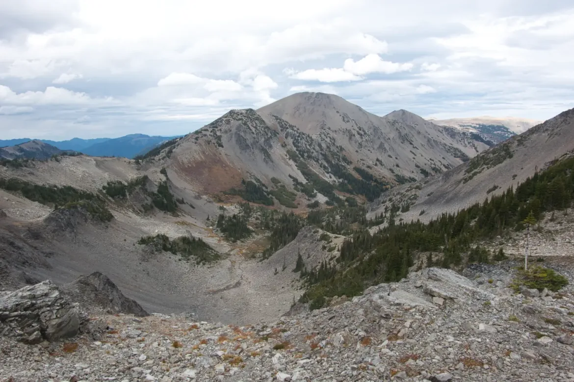
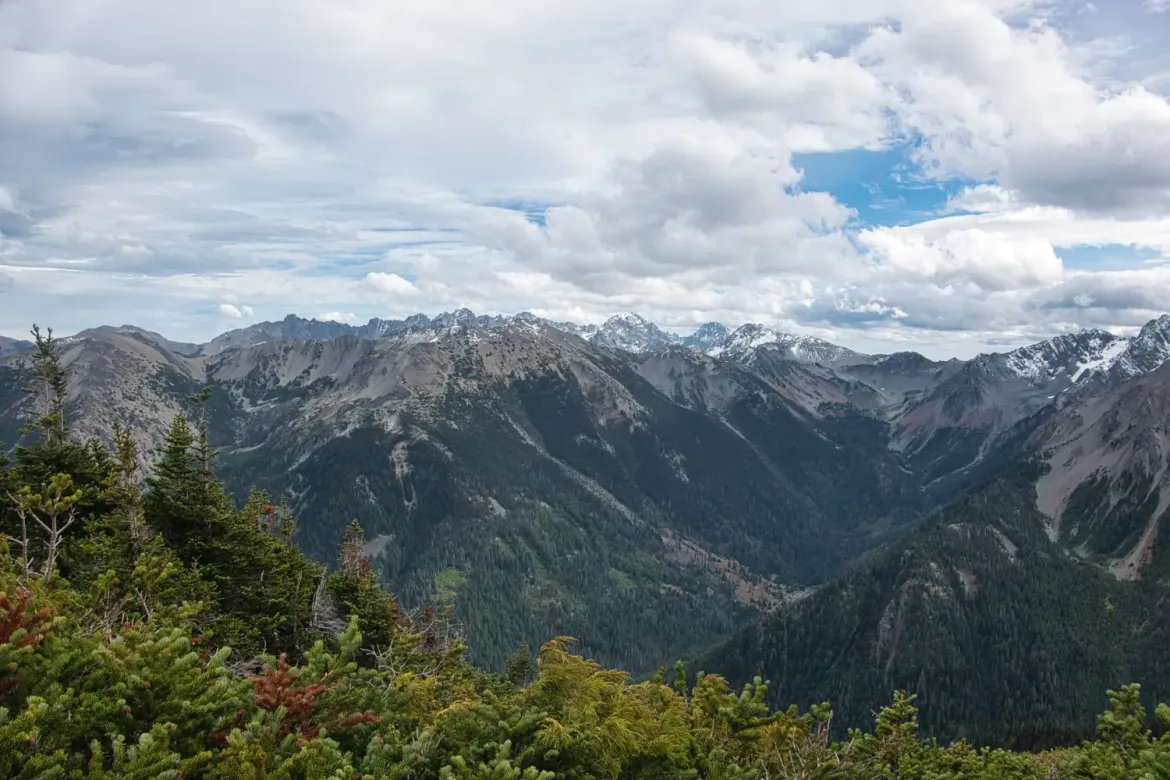
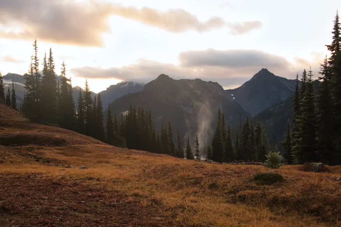
I followed the ridge above treeline for several miles offering unlimited views of the surrounding mountains with a dusting of fresh snow on their peaks. I passed the very popular Obstruction Point Trailhead which was absent of cars since the road had been closed due to a nearby wildfire. I hadn’t been able to find any recent information on this fire before my hike, but it appeared to be out since there wasn’t a trace of smoke the whole trip. It was quite a unique experience to have all this high elevation trail to myself in a normally crowded area.
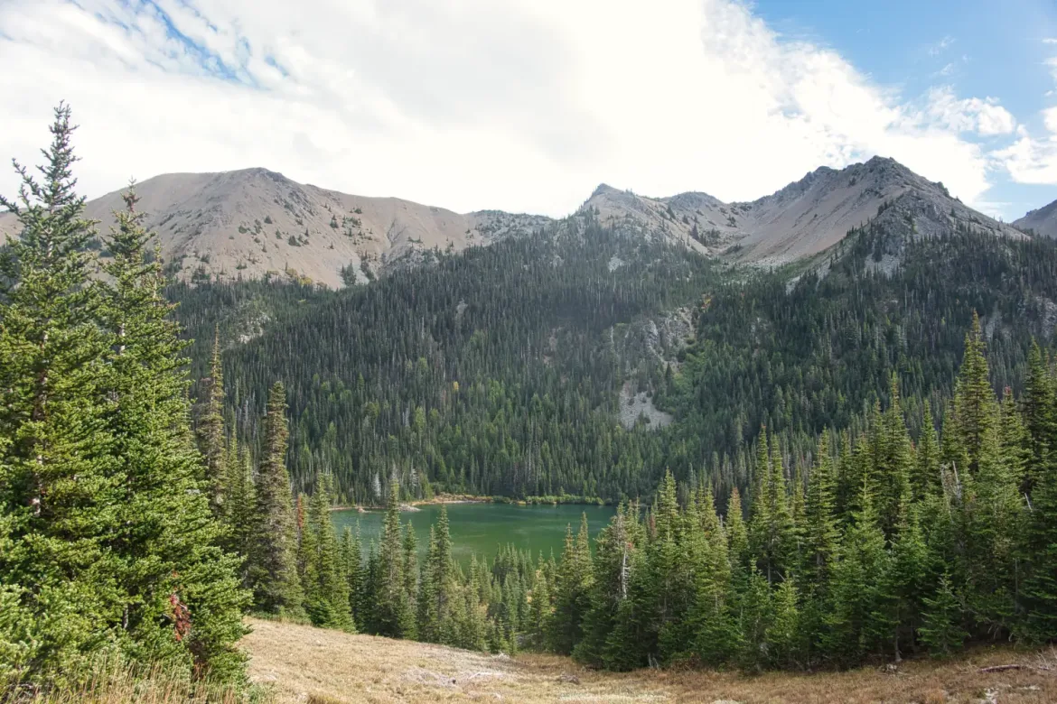
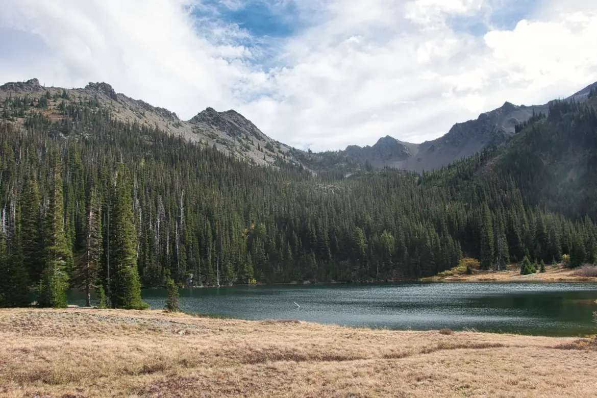
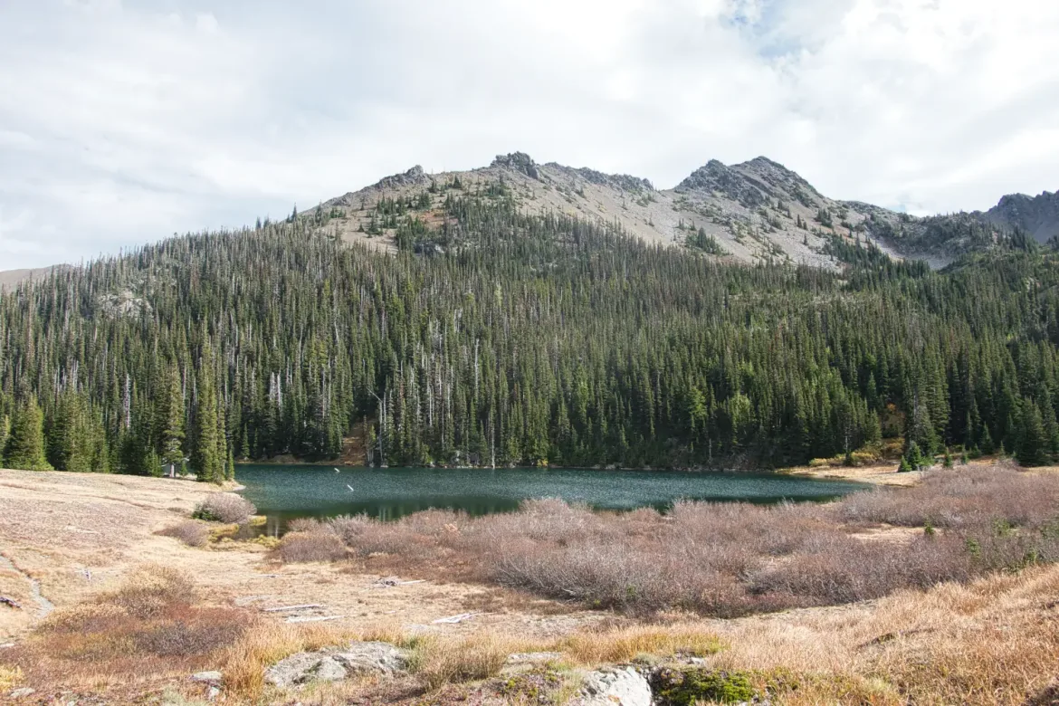
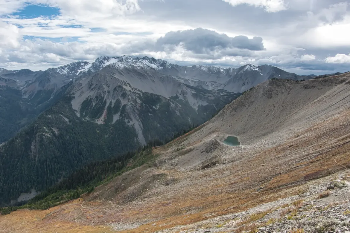
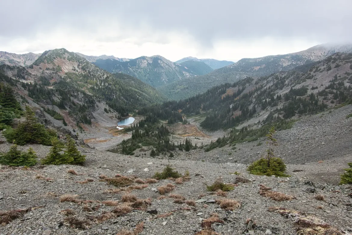
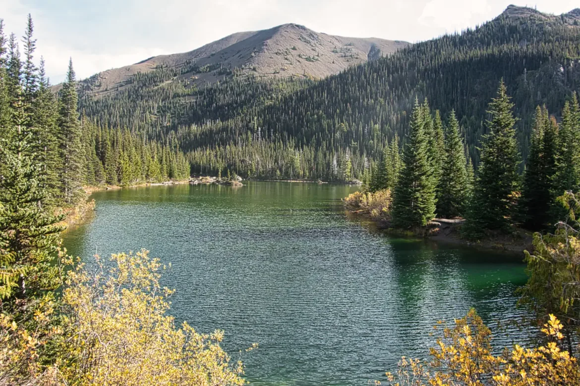
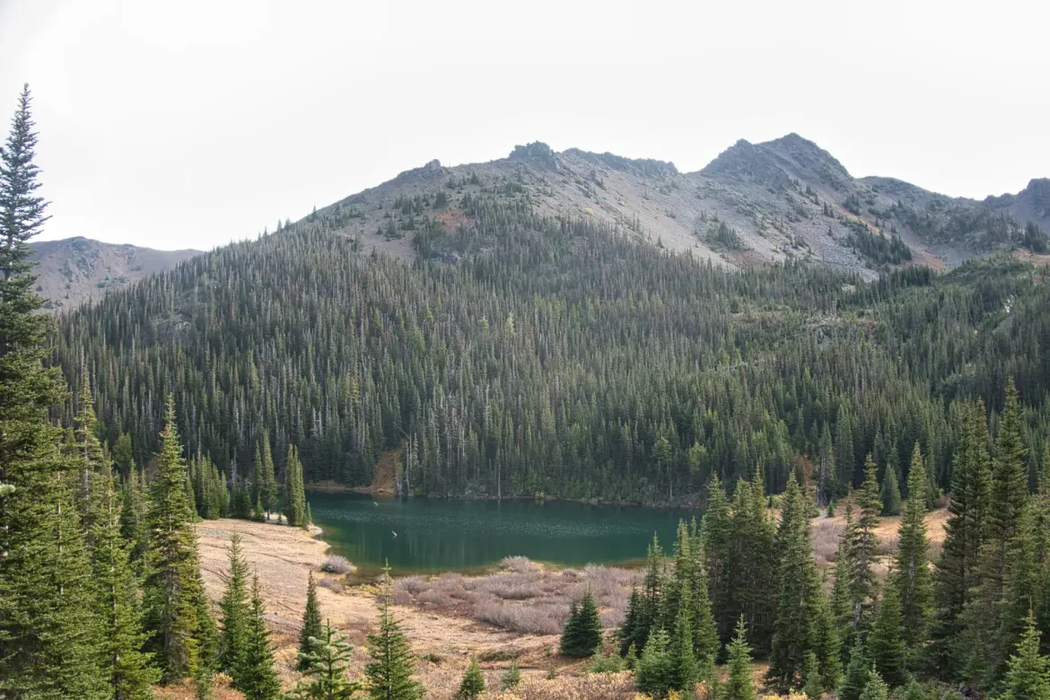
I dropped down to another popular area with some alpine lakes that was also devoid of people. I hadn’t been expecting to see many people out here this time of year, but I did think I would see a few.
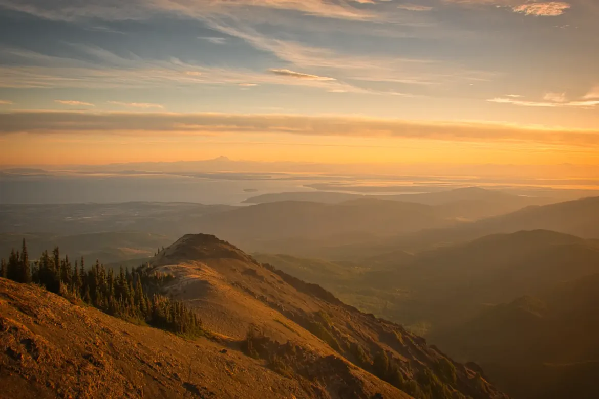
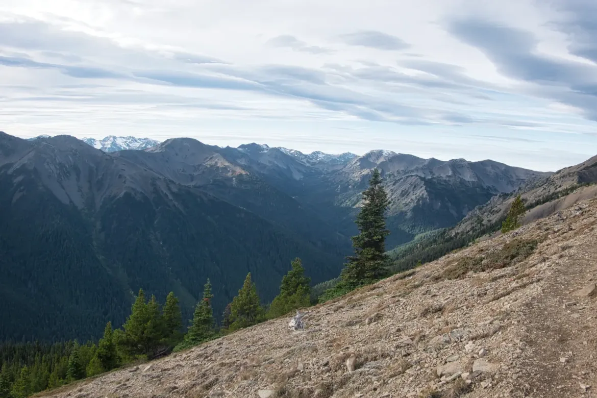
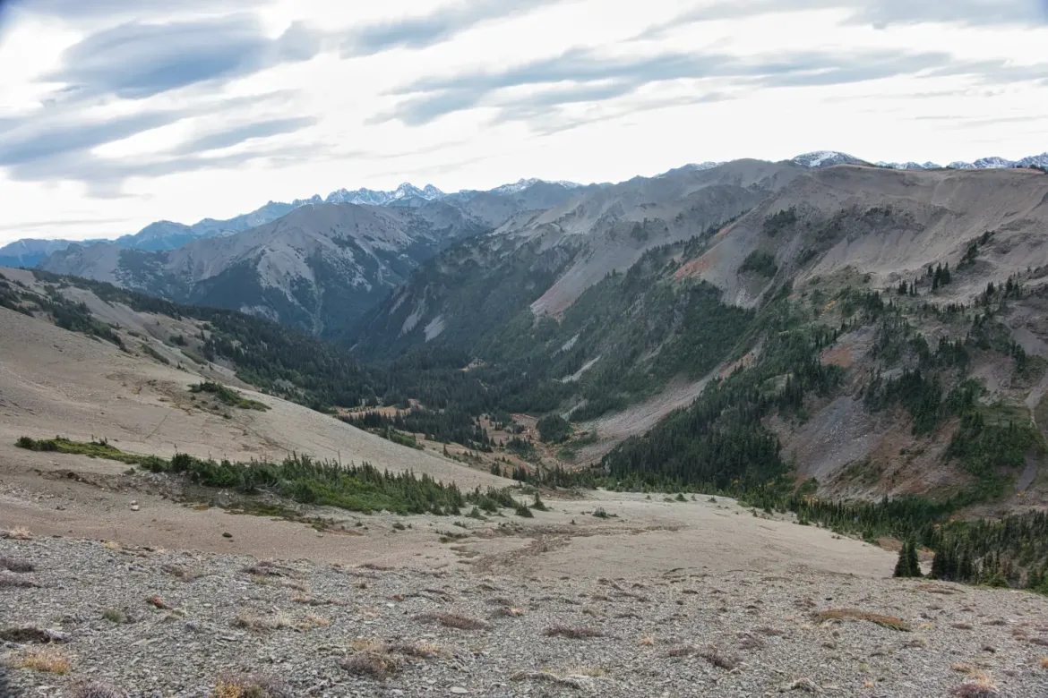
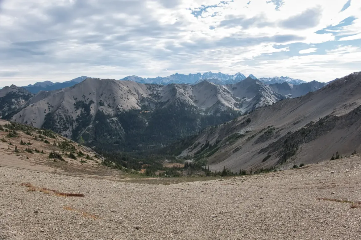
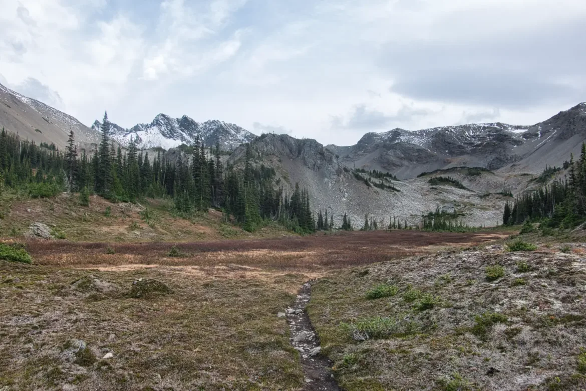
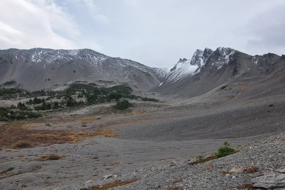
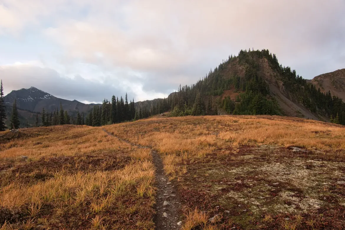
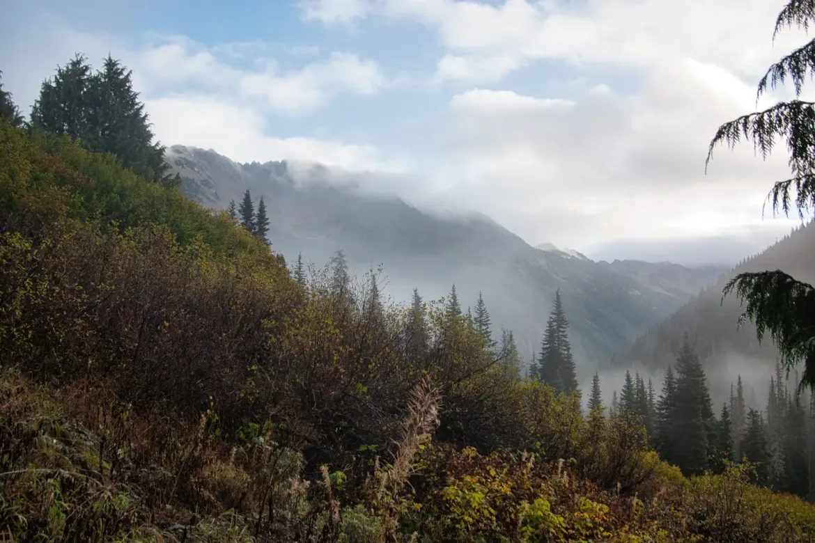
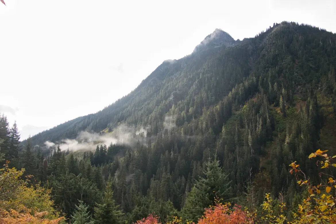
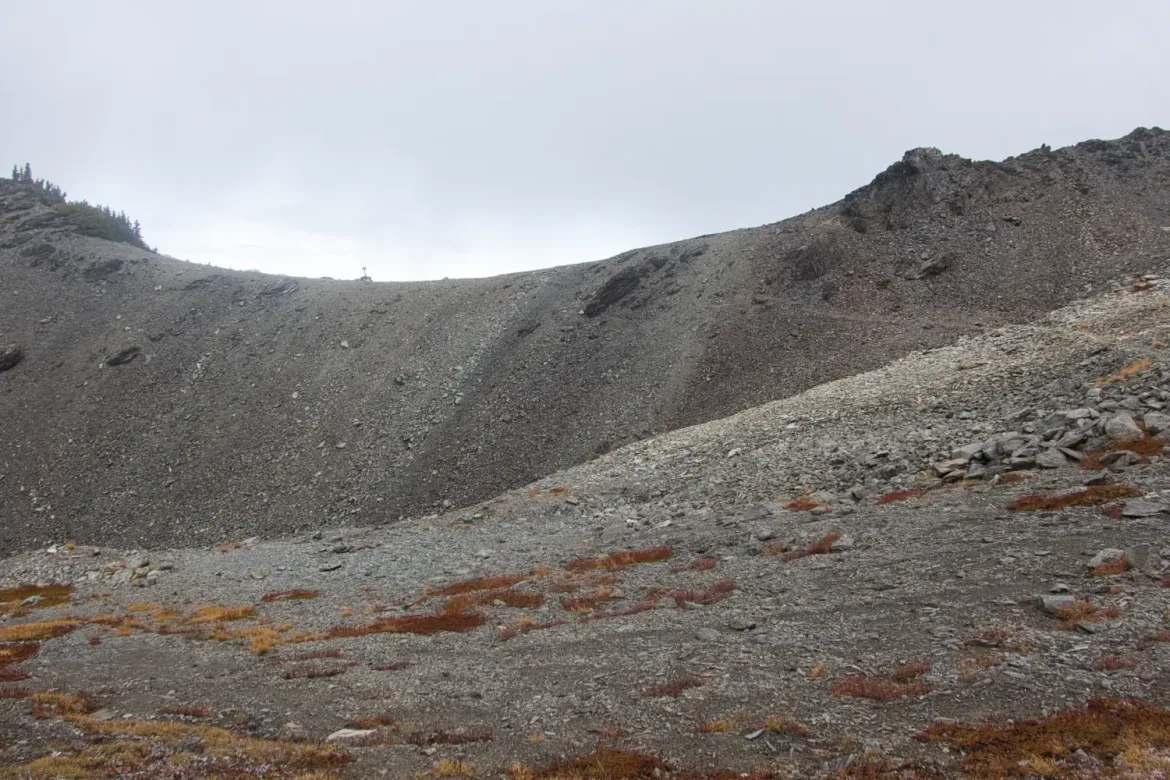
I was heading up from the lakes to Grand Pass. I had only barely dipped below treeline to visit the lakes, and I was soon back on barren ground. Most of the deciduous bushes had already lost their leaves, so the colors were mostly green and brown with none of the bold red from blueberry bushes. I do like the bare rocky expanses where the foliage is stunted by the extreme environment and short growing season. Great views as always in the Olympics heading up and over Grand Pass.
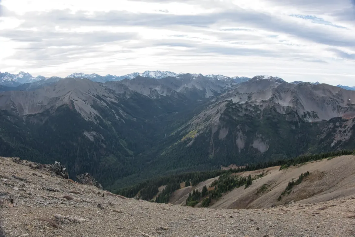
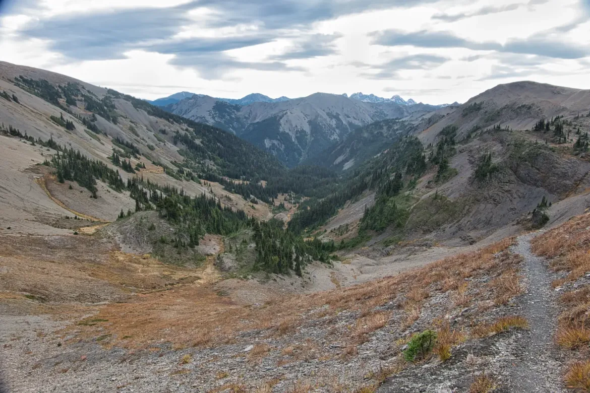
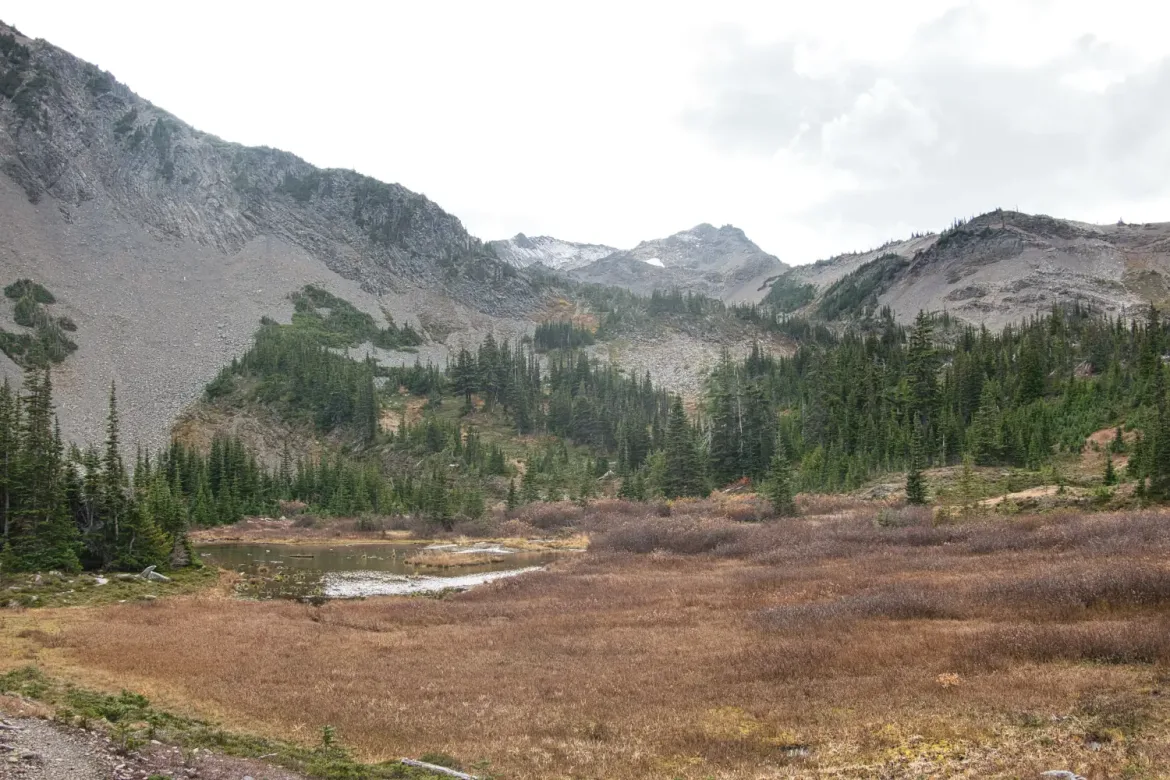
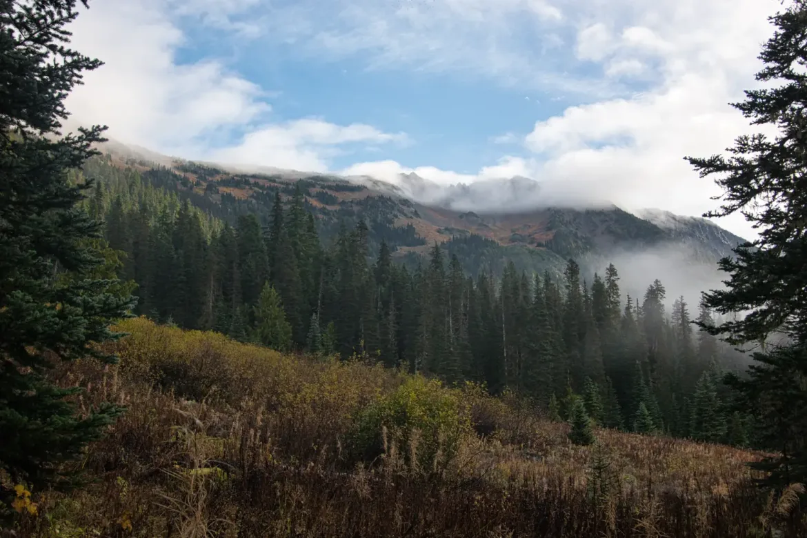
Though I had already climbed a high ridge, descended and went over Grand Pass, I had ambitions to do a third climb over Cameron Pass and potentially on to Lost Pass. I had a permit for an area above treeline before Cameron Pass, but I wanted to push as far as I could today since the last forecast I looked at had worse weather the next two days with precipitation and a snow level near the elevation I would be camping at.
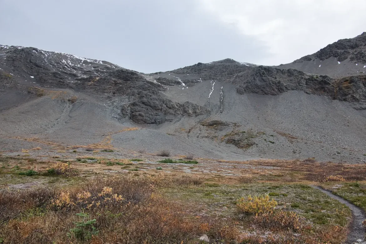
It was another 2300 feet up to Cameron Pass, and I was starting to feel the elevation. I was just running out of steam. As I climbed, I took short pauses with increasing frequency. I did briefly consider stopping at my planned campsite, but there was plenty of daylight left, and though it was clouding up, the weather was still reasonable. I decided to slowly push on.
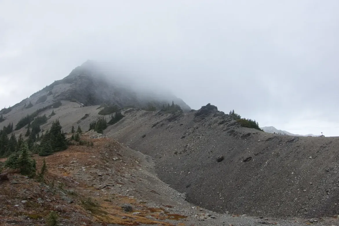
As I escaped the trees once again, it got windier, with gusts coming over the pass. Then it started snowing, with the wind pelting me with the small pellets. I donned my hard shell jacket and pants that I had brought for this reason and continued on. I considered turning back since there were campsites in the trees just below, but I was still determined to push on to ensure my trip was workable.
The wind was strong and was pushing me around. At times I had to lean into it and just stay still to prevent getting blown off the narrow, steep trail. I continued to question my decision, but the pass got so close that I decided to press on. I was slightly chilled from the blowing snow and cold, but had more layers in my pack if needed. I prefer to hike chilled.
I eventually summitted the pass, but just continued forward to get down from the exposure.
Shortly after stumbling over the pass, the snow turned to rain as I began a short descent. Given the choice, I would prefer the snow since it is less wet, but at least I was already dressed out in my rain gear. And I was also not climbing anymore.
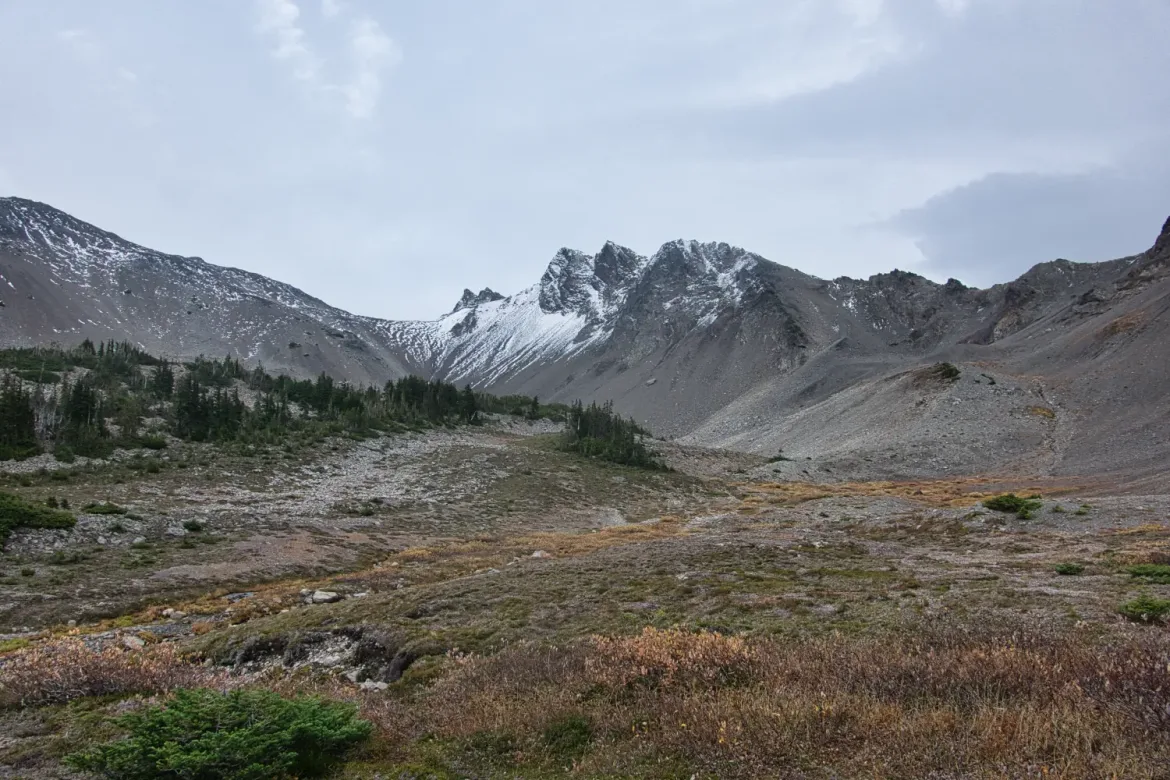
I began a traverse towards Lost Pass, not sure how far I would make it. I was already past my short goal for the day, and Lost Pass or beyond was my stretch goal. I was still tired from all of the climbing, so I was not moving the fastest. As I approached Lost Pass, I crossed flowing water and then a campsite well protected in the trees. It did not take me long to decide to call it a night there since there was supposed to be continued rain or snow through the night. Darkness was also approaching.
I quickly set up my tent, got water, and dove into its protection from the rain to collect myself and rest. When I looked at my GPS, I had gone 19.3 miles and done 6,900 feet of elevation gain. No wonder I was so worn out!
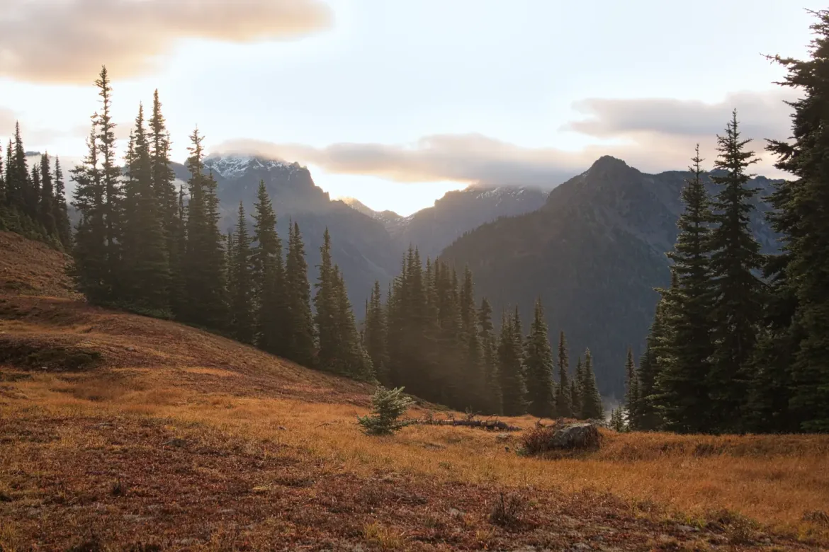
After resting, I quickly finished the small climb to Lost Pass early the next morning for sunrise over the mountains. I definitely picked the more sheltered campsite last night, so I made the right decision to stop short of my goal.
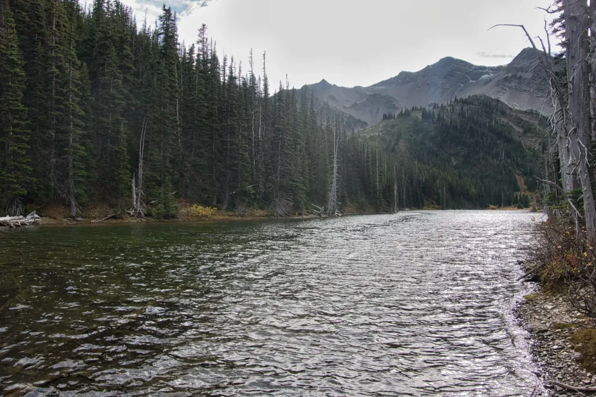
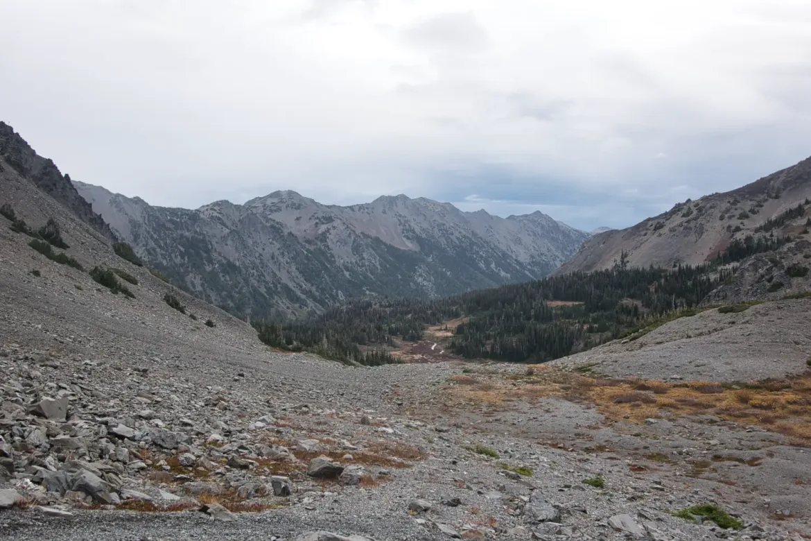
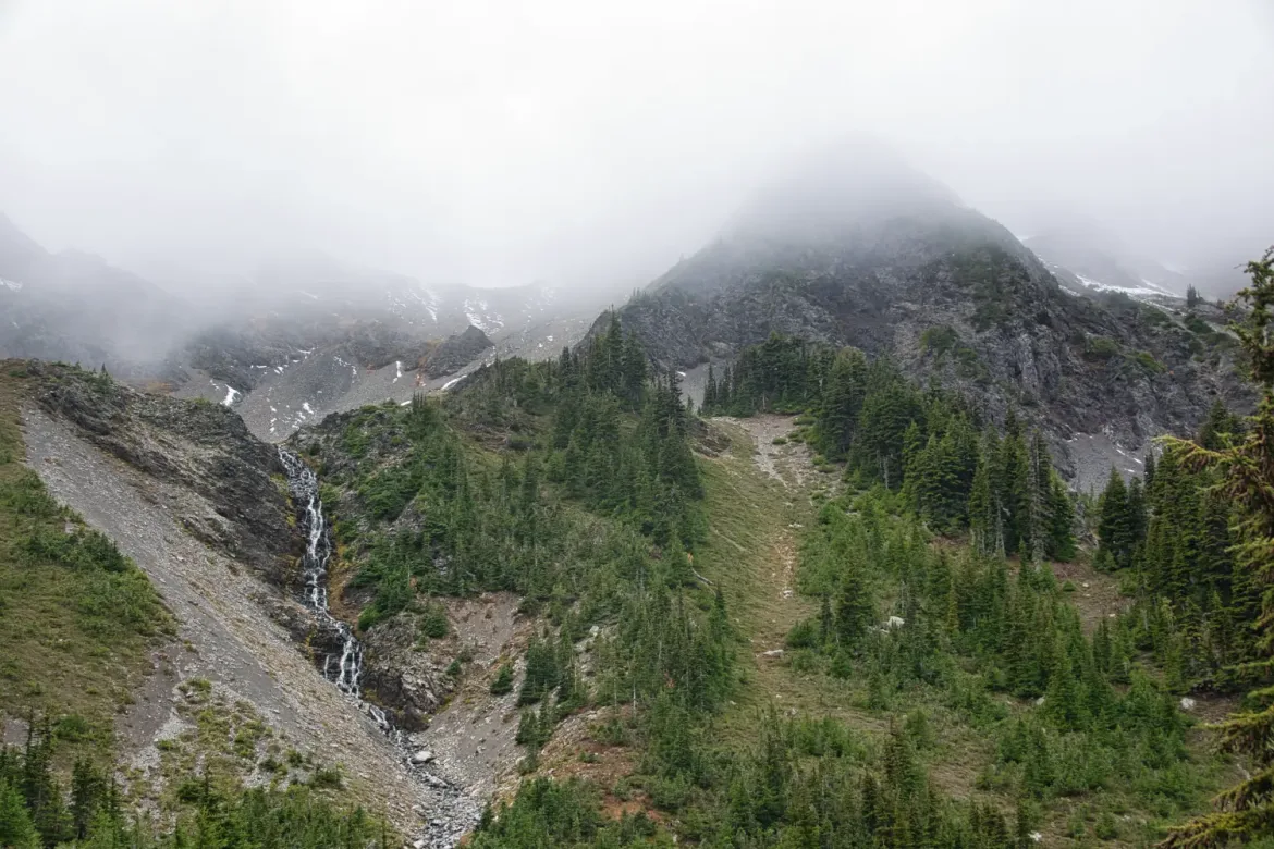
From Lost Pass, it was an easy downhill to the Dosewallips River, and then more easy trail downriver in the trees and wispy clouds.
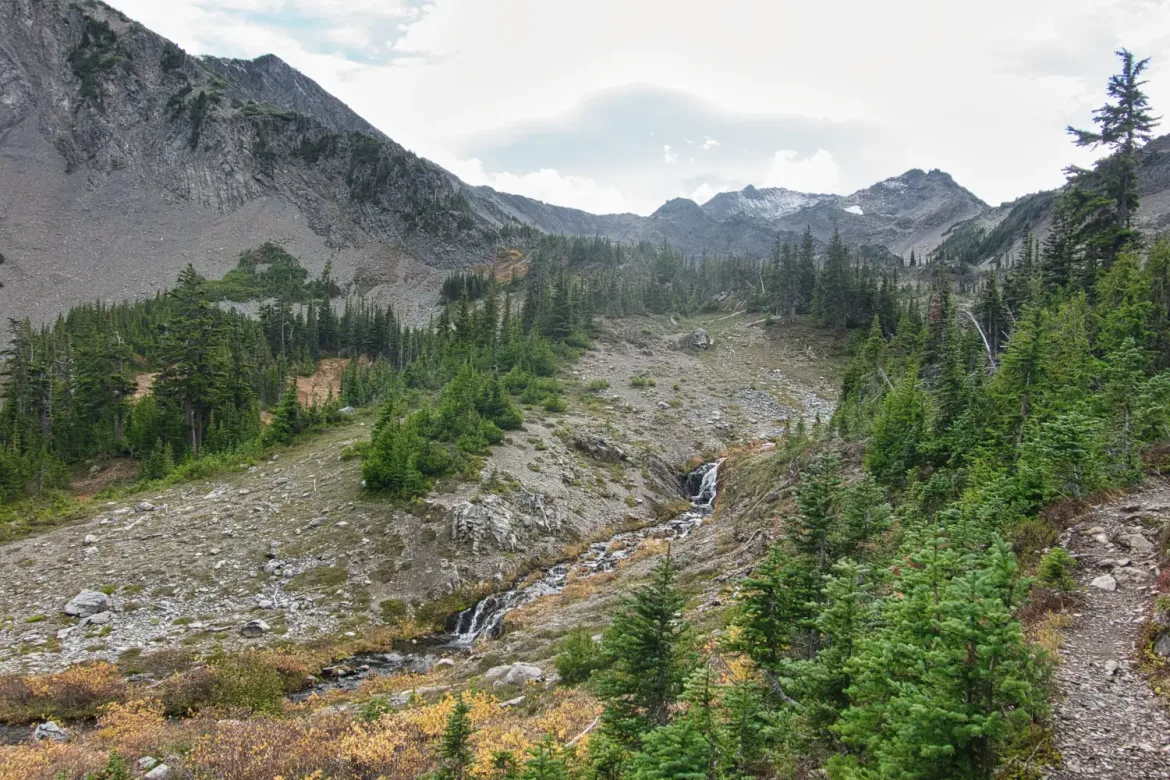
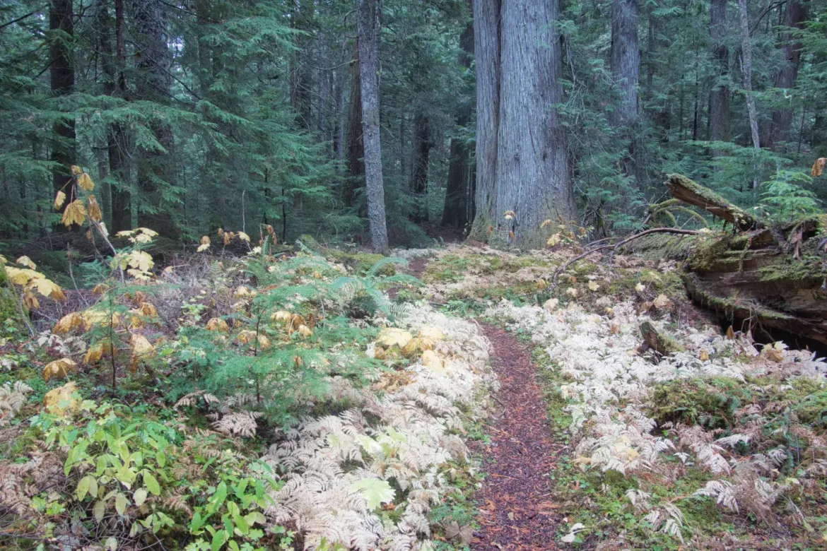
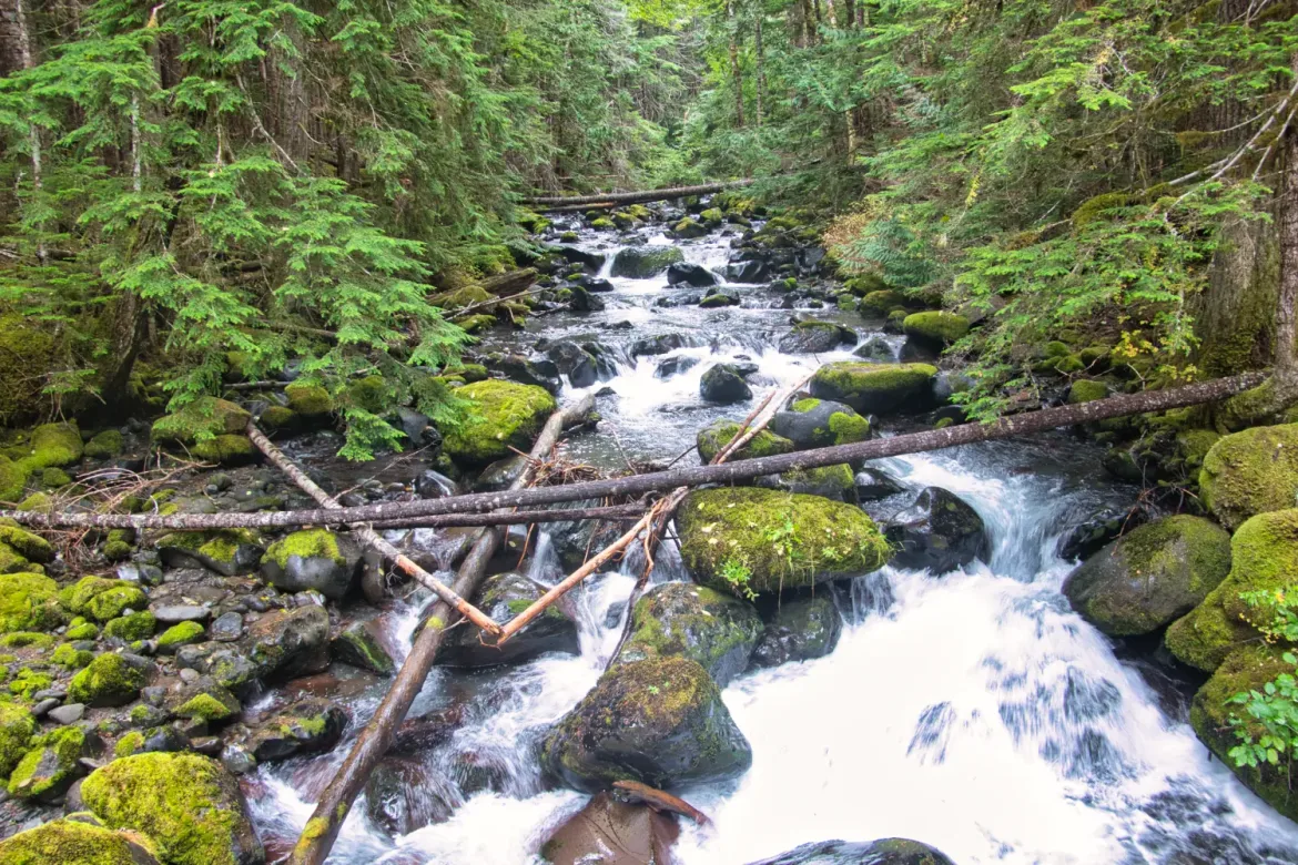
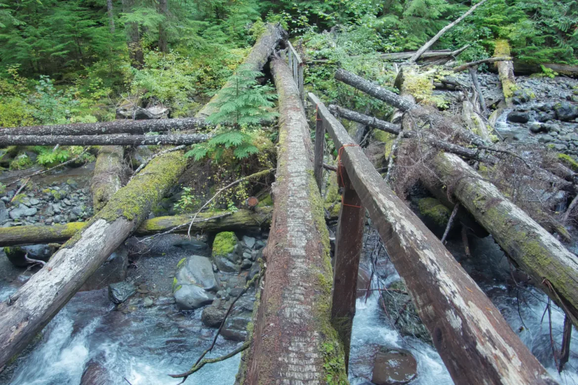
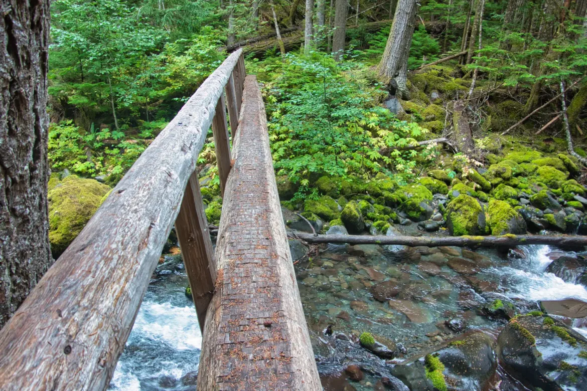
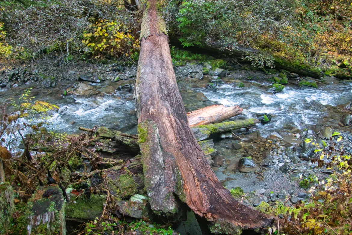
It was wet and extremely green going down the Doeswallips River, and my first real deep forest hiking of this trip, though I did pass through several meadows. I headed downstream to a trail junction up to Gray Wolf Pass.
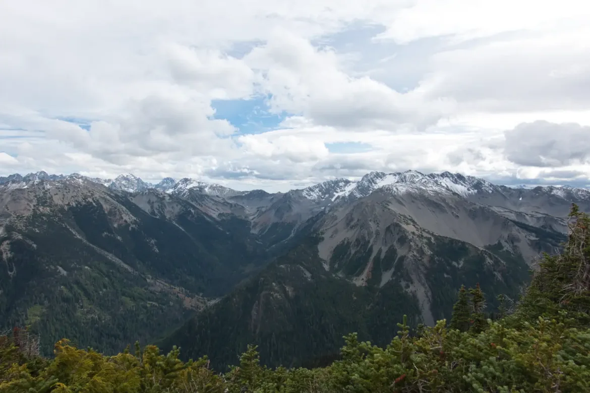
The climb up to Gray Wolf Pass was a modest 2,600 feet, a far cry from the elevation of yesterday. This would be my only pass for the day not counting the slight uphill to Lost Pass. I did not sleep the best and was a little slugish on the climb, but if you keep chugging away, you can still gain the elevation quickly and are soon up high.
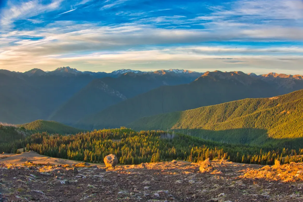
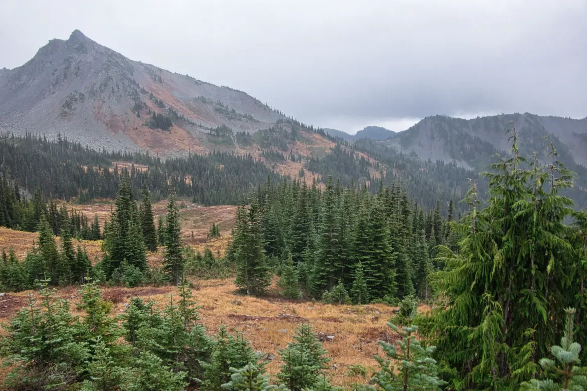
I headed down, passing by the turnoff to one of my favorite spots in the Olympics, Cedar Lake for the first time. I needed to head straight down the Gray Wolf Trail to finish my route on time, and couldn’t afford the detour.
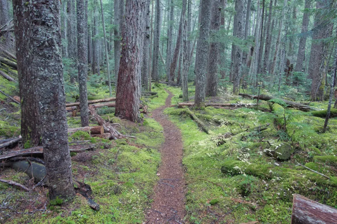
I quickly left the strong winds behind and dropped down into the trees. From there it would be easy hiking gradually downhill for the next few hours. From the high pass, I would drop down 4,000 feet.
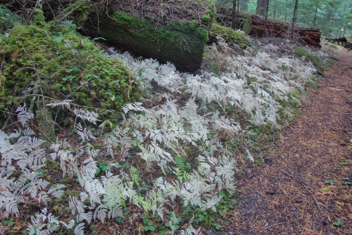
The forests were glowing green with moss and yet had the paradoxical dying and decaying plants overtaken by the fall with mushrooms everywhere feasting on the remains. This year seems to have a bumper crop of mushrooms in Washington. Both at home and on the trail.


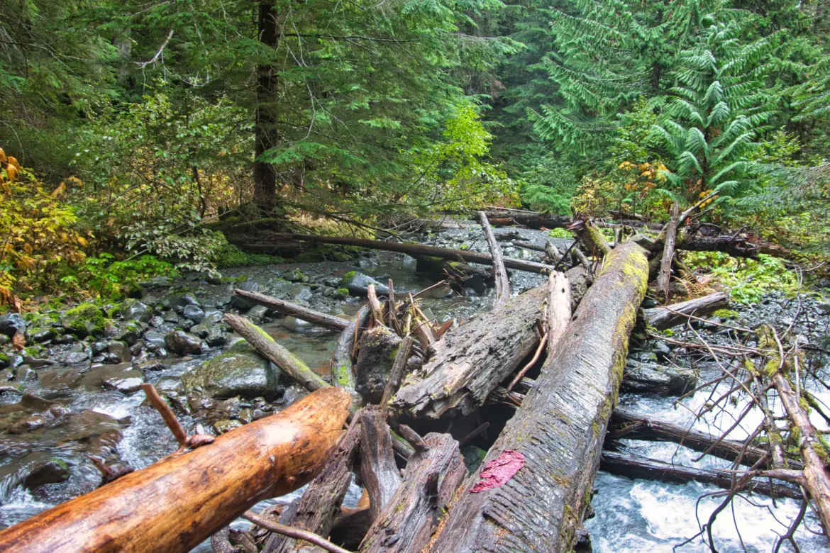
I crisscrossed several streams heading down the Gray Wolf, and then up the Cameron to a stretch of forested trail I hadn’t been on yet.
I got most of the way up Cameron Creek before it started sprinkling. I wanted to push as far as I could today to make tomorrow shorter, but campsites had been few and far between, so when I came across a flat spot as darkness was approaching, I called it and set up camp. 22.3 miles and 4800 feet of elevation gain for the day.
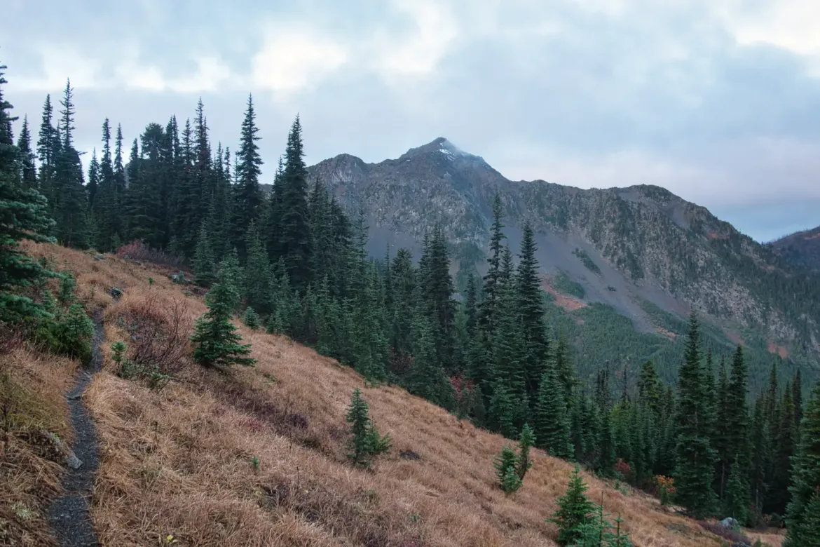
The next morning I finished off Cameron Creek and got to the trail back over Grant’s pass, in the opposite direction I did it two days ago. I was feeling a bit low on energy this morning as well and it was a pretty steep climb up, but slow and steady got me back up to the pass just fine.


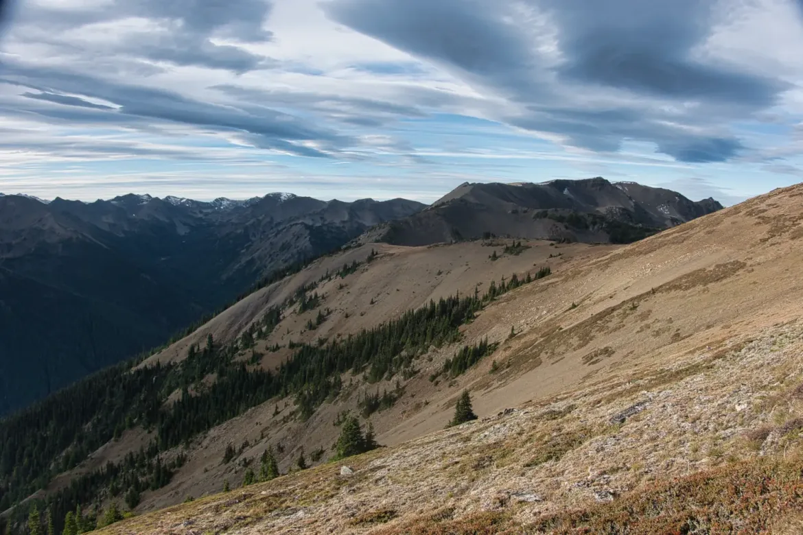
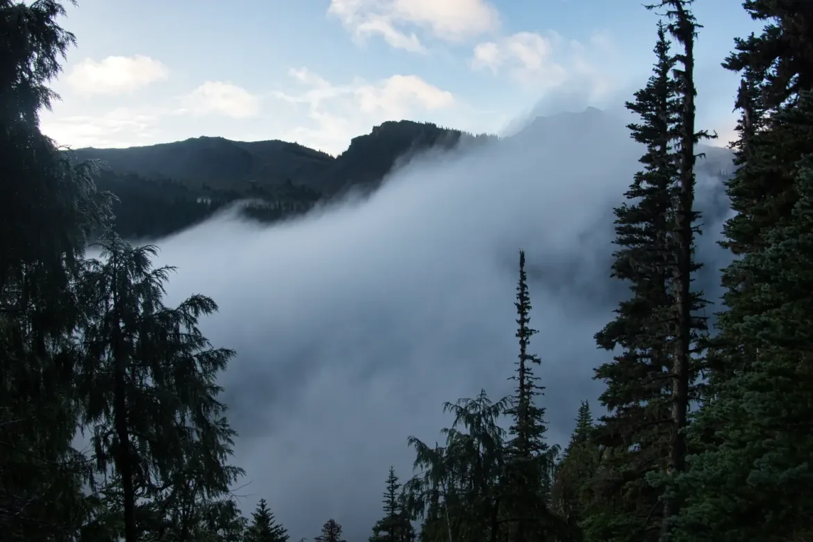
Heading back past the still deserted, but usually popular Gladys, Moose, and Grand Lakes, the weather was trying to figure out what it wanted to do. It was mainly holding out during the days when I was hiking which was nice.
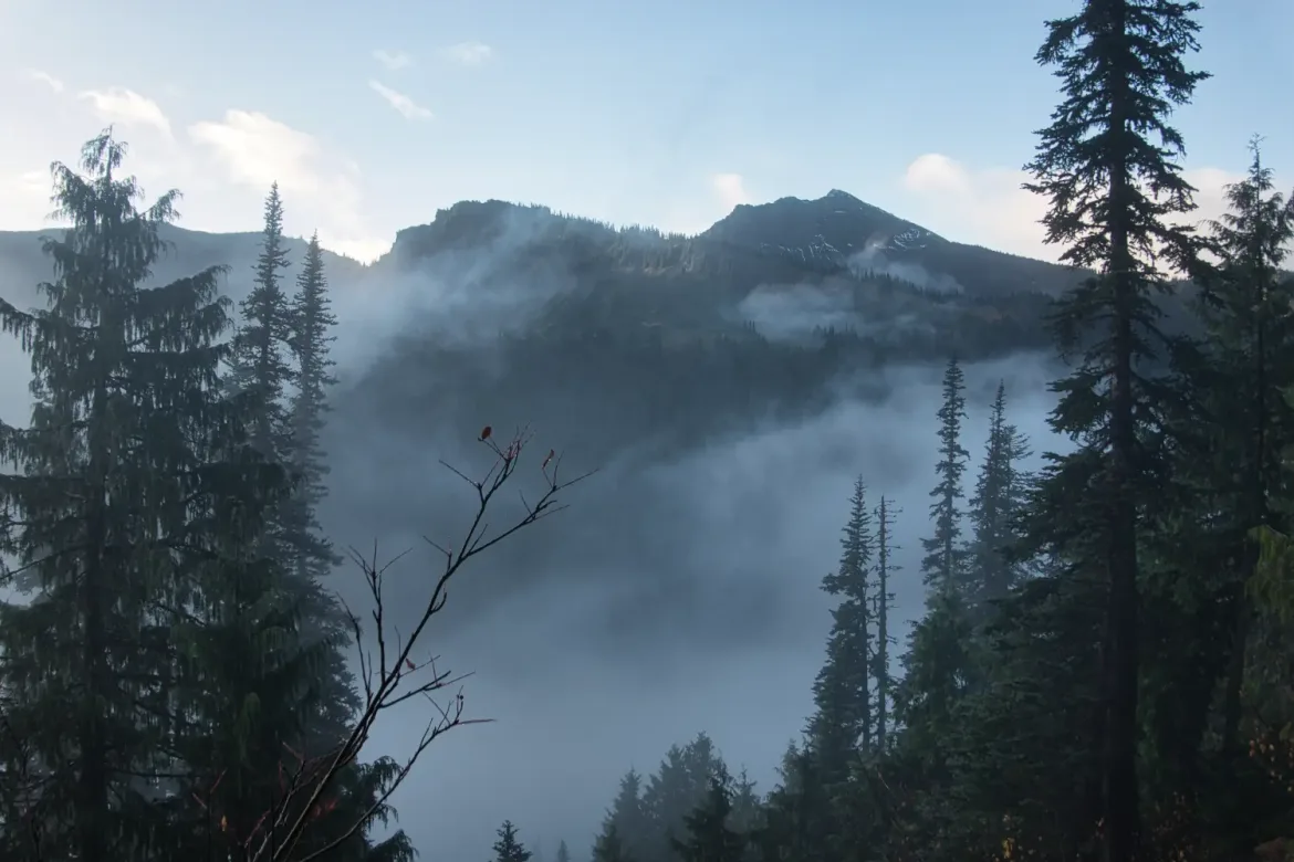
From the lakes I headed up on my last climb, back to Obstruction Point ridge. The weather was degrading as I neared treeline, and the wind started blowing fiercely and cold. Since I was climbing steeply, I didn’t want to put on my shell layers yet. It started blowing in some light rain, and I still held off. You are either wet from sweat or the rain.
As I cleared treeline, I was surprised to see a black bear, the first big mammal I’d seen the entire trip. I got some distant pictures before it saw me and dashed down the mountain. I was surprised it was so high up. The berries are long gone.


It was really windy and blowing rain by the time I got up to the crest of the ridge and quickly donned my shell layers. I was a bit chilled but quickly warmed up flying down the trail. The hard part was done and I just had to follow the ridge back down to my car. Eventually I regained the trees and they sheltered me from the storm for the last stretch to the trailhead.
15.6 miles and 5700 feet of ascent for the day.
57.2 miles and 17,300 feet of gain for the 3 day trip. I got out just in time with the weather.