
22 miles
723.5 AZT mile marker
It was moderately cold last night, but in the middle of the night a breeze started which seemed to flush out the cold air trapped in the valley. It seemed a little warmer after that. There was no condensation on our tents for the second night in a row which might be a record. A good record.
A little uphill first thing which is always good to get warmed up as the sun was rising. Rolling hills for a couple miles before the trail dumped out on a gravel road for bit.
I walked the road until I came to Kentucky Camp which is some sort of park. A couple hosting there showed me the amenities which included a privy, running water, power, and even a microwave. I didn’t need all of that, but it was a pleasant surprise.
I took a break and waited for Kevin who was lagging today. My hiker hunger is starting to hit me pretty hard. I saw my lunch while I was waiting and ended up eating most of it only a quarter into the day. Not what I intended but the lunch gave me a look I couldn’t refuse. I want to eat everything these days from my body telling me it needs more calories. I can only carry so much and am still eating more than I do at home. Doing 20 miles or so every day takes a lot of fuel though.
Kevin showed up as I was thinking about continuing on and was having some muscle issues. He was ok to continue, but I went on ahead and we agreed to meet at camp at the end of the day.
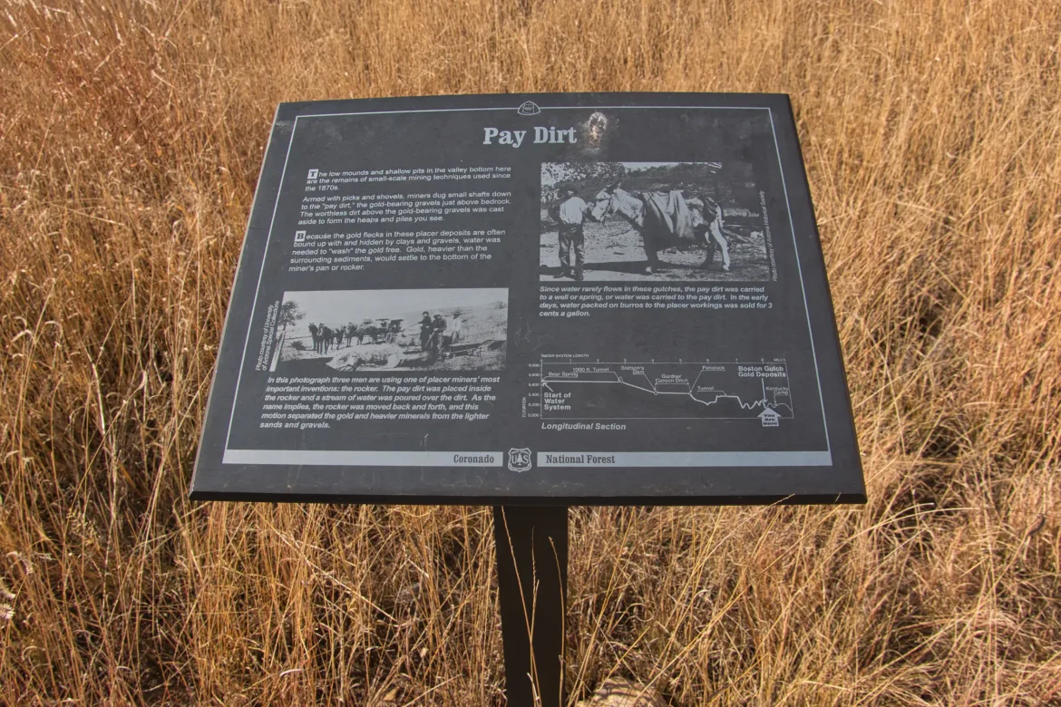
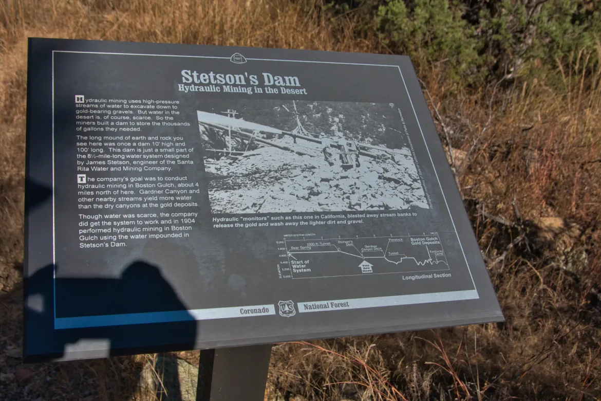
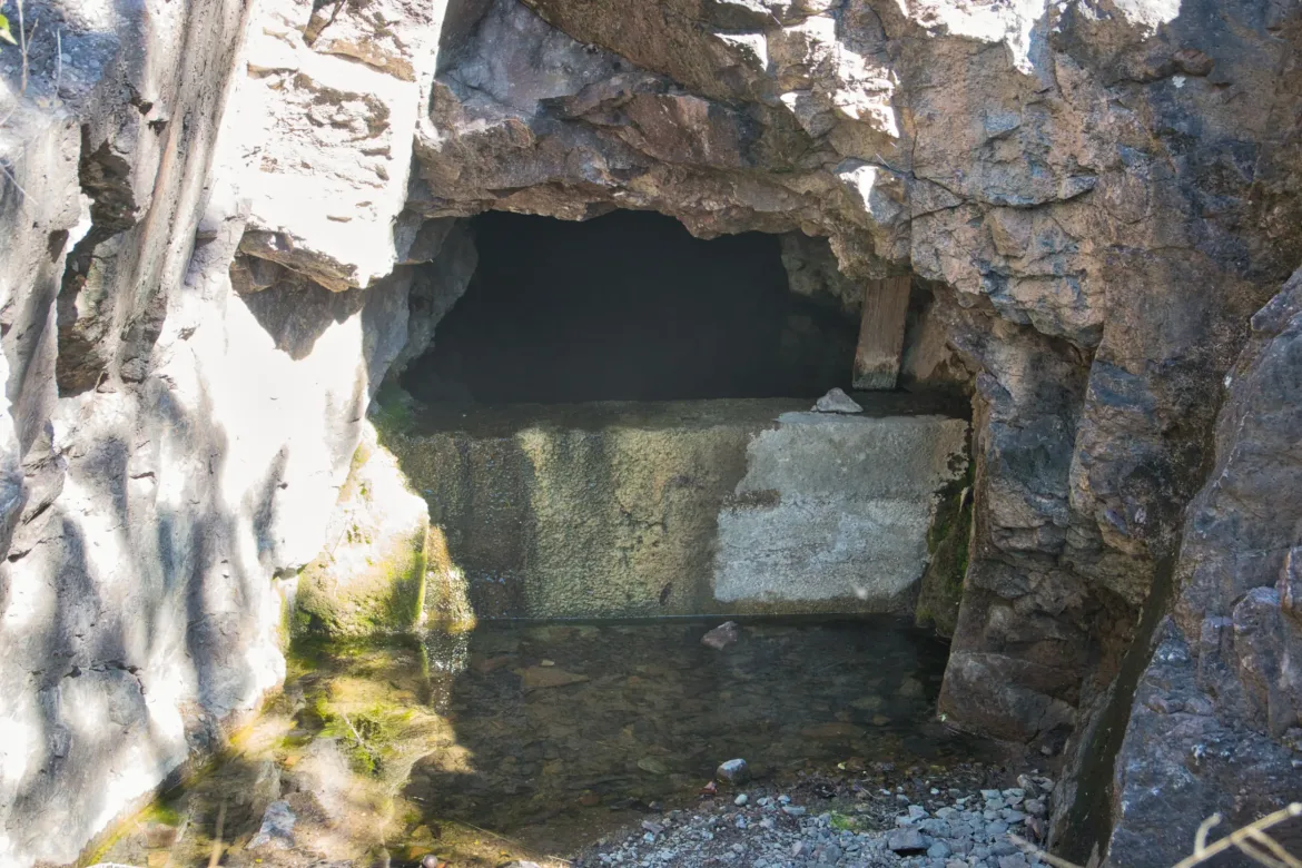
From Kentucky Camp, the trail took an interesting route. The camp was formerly used as a mining camp since there was gold found in the area. Mining gold requires a lot of water to separate it out, and since this is the desert water wasn’t immediately on hand. To get water, a pipeline was build to take water from a stream 10 miles away to the claim. They used a combination of open ditches, 24″ pipeline, dams, and even a tunnel to channel water from the source to the mine. They put an incredible amount of work into the pipeline, routing it around hills at such a grade that no pumps were even required. When they finally got the mine running, it only produced enough gold to pay for a fraction of the price of the pipeline, so someone took a big loss on it.
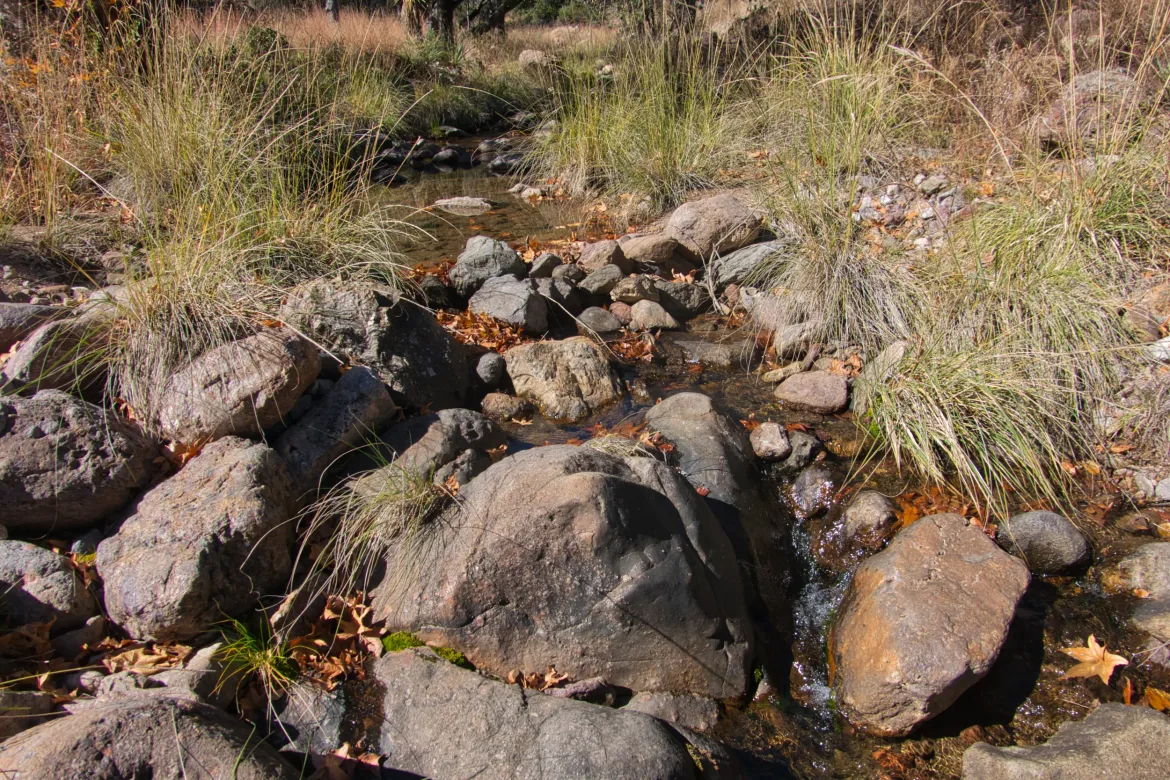
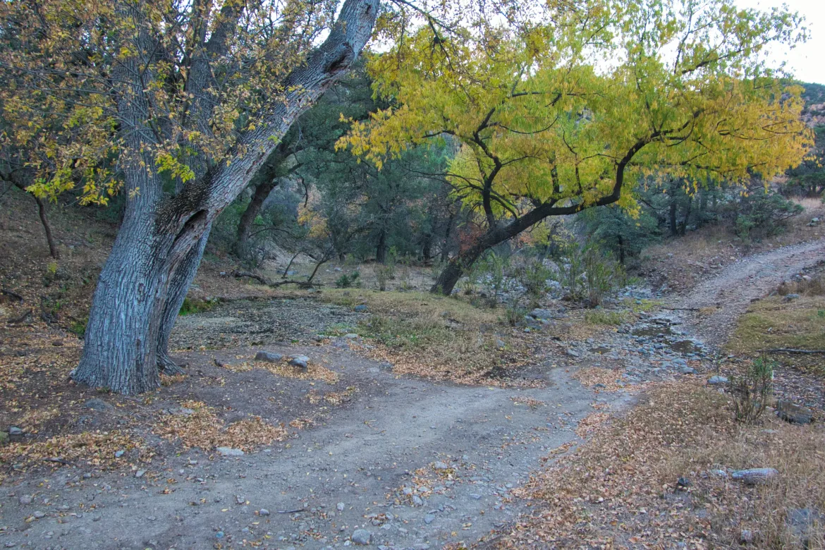
The trail following the water route crossed a couple streams that were used to transport the water and also add more water to the pipeline. It was a really neat setup.
I travelled the complete length of the pipeline which made for a pretty gently graded hike.
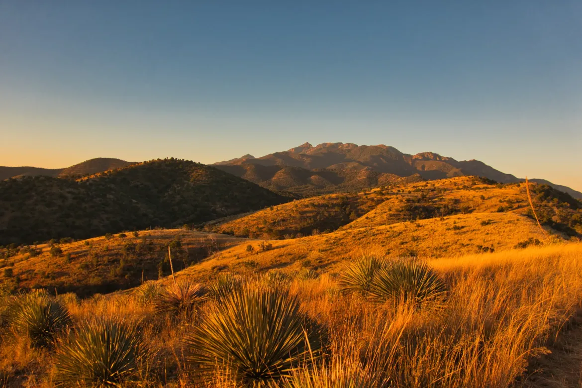
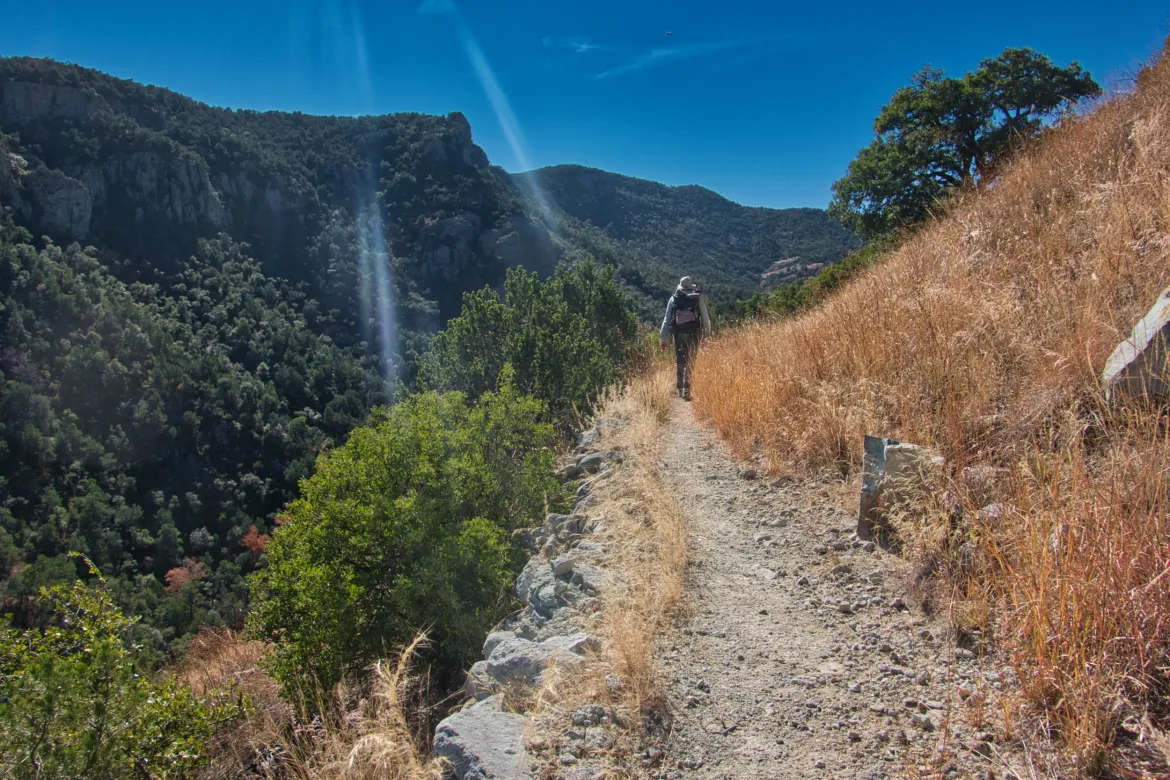
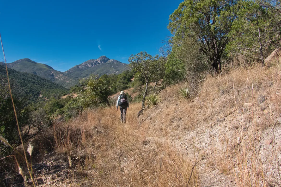
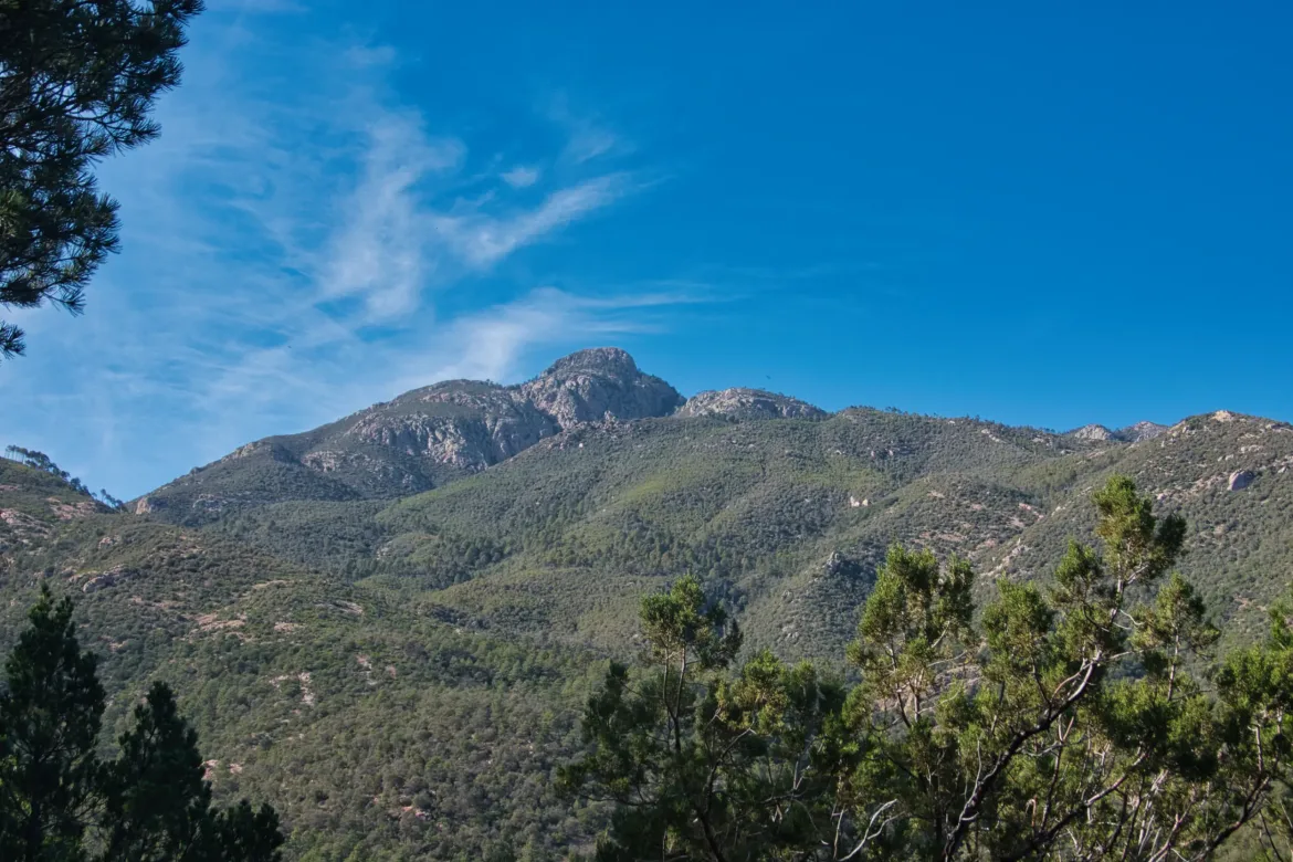
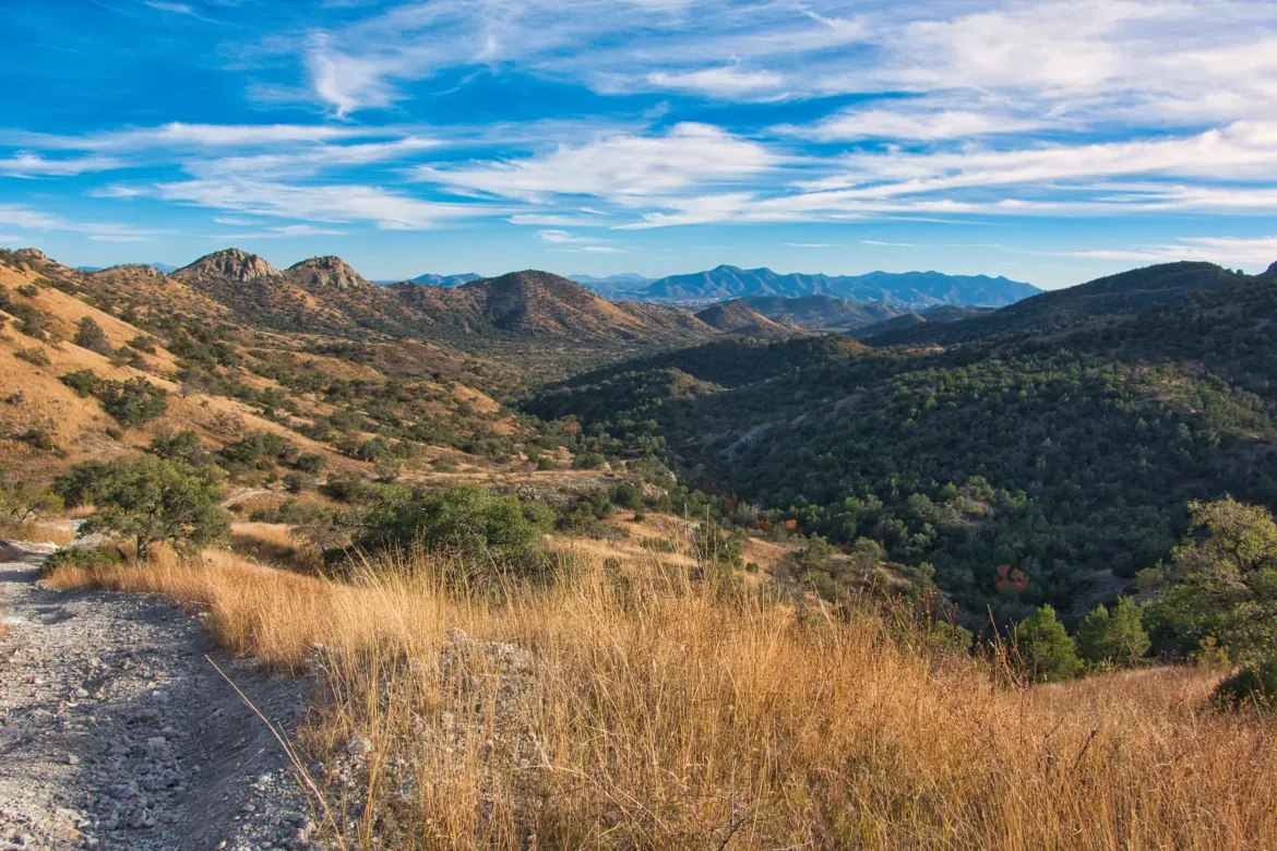
The source of the water was a creek in a canyon surrounded by large mountains. The mountains were quite a change from the lower hills of the past couple days, and a welcome change at that.
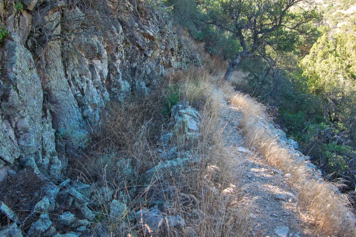
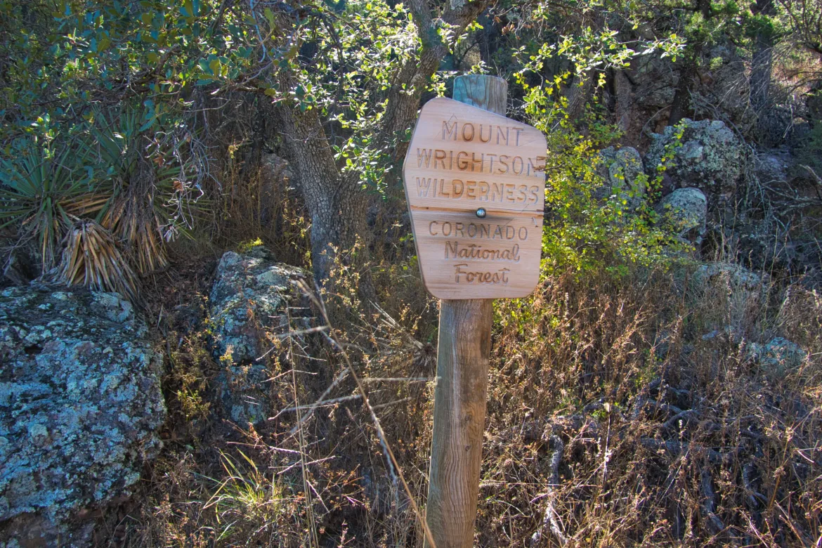
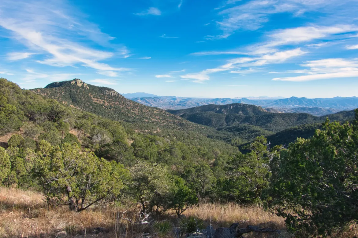
I passed through a wilderness area with some great views of the mountains. I climbed up to a high saddle to cross the range, but it was a pretty easy climb since it was almost entirely shaded which was a pleasant surprise.
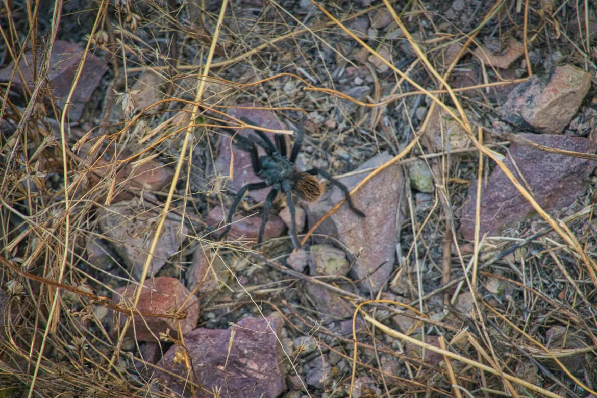
Heading down the other side of the saddle was trail for the first mile, but then changed to a 4×4 track that I would be following for the rest of the day. The track descended steeply and had very loose dust and rock on it, which made the descent a bit treacherous at times. The steep parts weren’t that enjoyable, but since it was steep I dropped elevation quickly to where it levelled out and began weaving back and forth across a trickling creek.
I set up camp right after one of the crossings where water was available. Kevin made it about an hour later. We made a notional plan for tomorrow when we will be headed to town, and will have to figure out the logistics for finishing the trail and getting a shuttle back to Tucson.