
22.9 miles
57.8 AZT mile marker
I was planning another bigger mileage day today, so I bumped my alarm forward a little to make the most of the day and especially the cooler morning. As I was getting ready, I felt a little off. Maybe a little nauseous, but I couldn’t place my finger on it. There wasn’t anything for me to do but put my pack on and hit the trail. I did feel better shortly after starting.
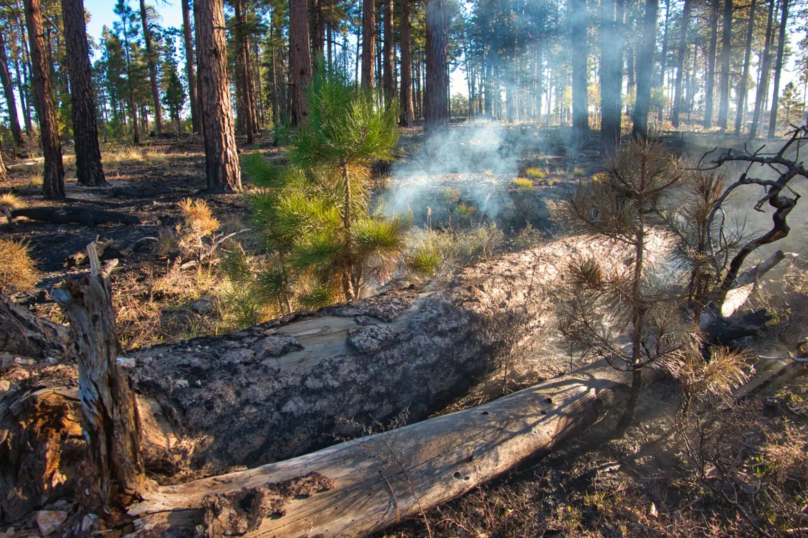
I quickly came to an area that had just burned a month or so ago. As I was passing through it, I noticed something smoking. At first I assumed it was a campfire, but I couldn’t see anyone. I went over to investigate and saw that a log was smoldering and smoking still from the fire. The fire looked like a prescribed burn, but everything else was out cold. I noted the GPS location and messaged it to Kate to tell the Forest Service in case it was an issue. She called them and they said it was fine.
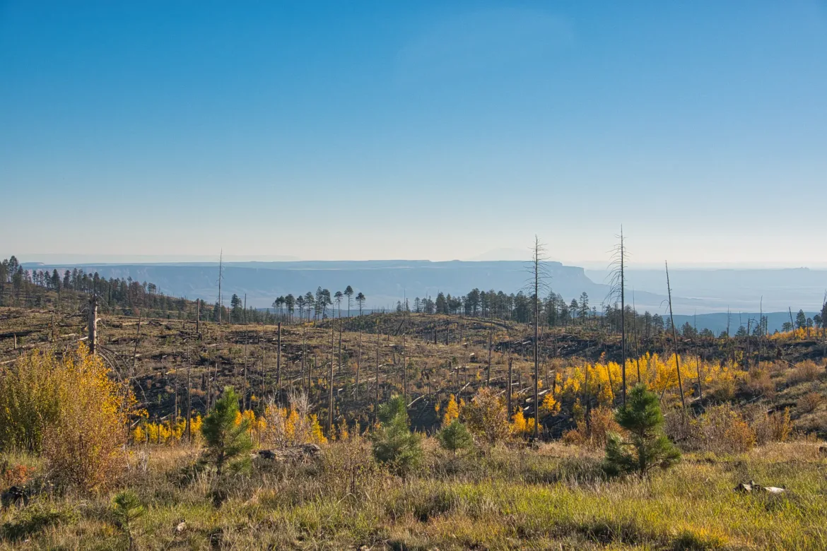
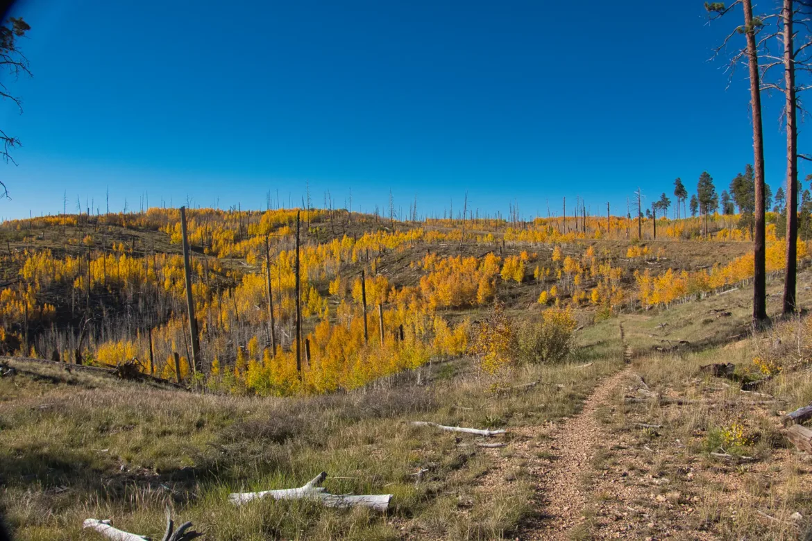
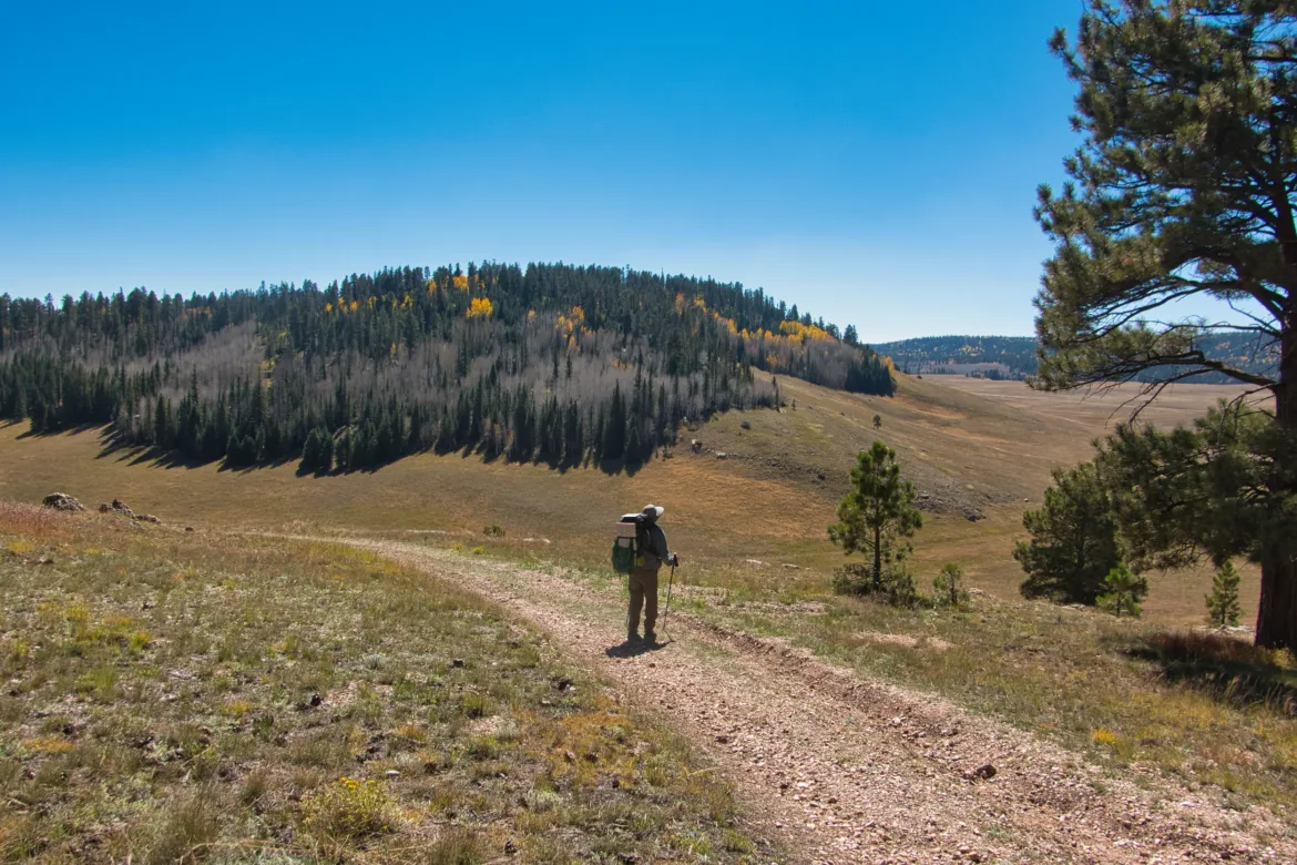
I then entered an old burn area that I hated last year when I was on this same route on the Hayduke Trail. It was wide open with dead snags here and there, and just some low aspen brush. Last year it was later in the season and there were no leaves on the trees. Everything just looked barren and dead. It was also very windy last year. I was expecting another pound the miles experience, but I was pleasantly surprised. It was not windy and the aspen were mostly bright yellow with changing leaves. I actually enjoyed this stretch of trail this year.
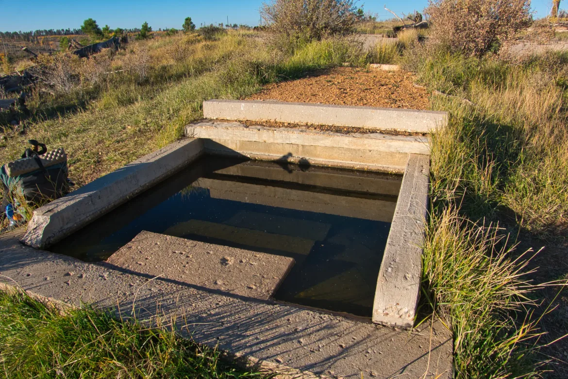
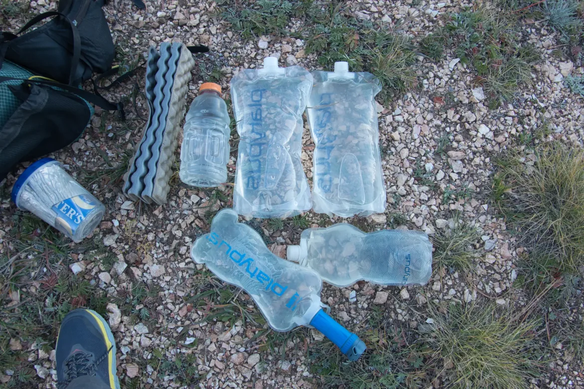
I got water for the day early at another catchment. It was 20 miles to the next source so I grabbed a gallon for the hiking in the sun. My brand new filter is starting to slow down significantly and flushing it isn’t working. So much for trying a new entry in the filter market.
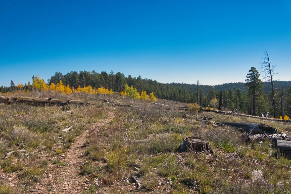
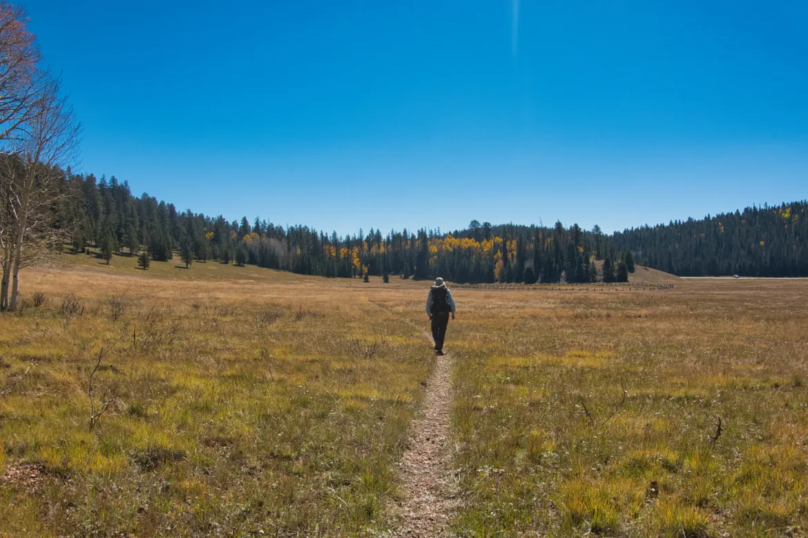
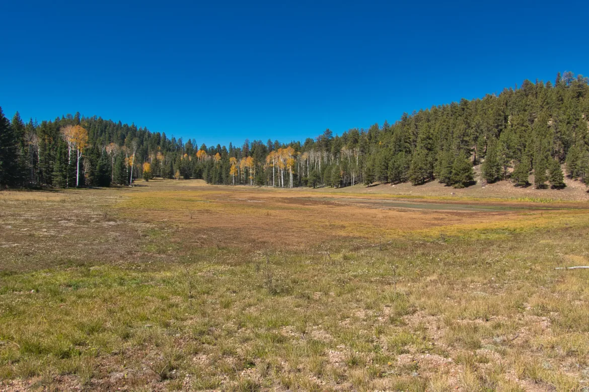
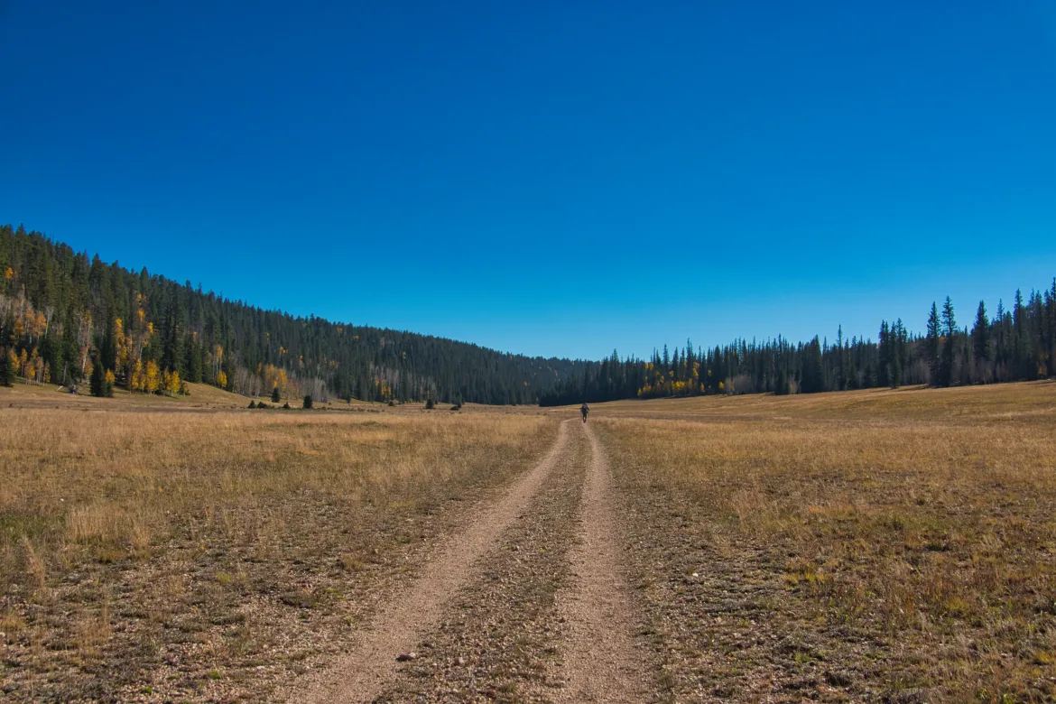
After several miles, I regained the forest, but the forest had changed. It was more mixed with the yellow aspen, but it also gave way to open meadows every mile or so. The meadows seemed discretely bounded by the forest, but there were no stumps or anything, as if trees had never grown there. They were pretty scenic and occasionally had small, dry ponds.
I had glimpsed a hiker in the distance, and caught up to him as he was taking a break in one of these meadows. Mark is also heading to Mexico. We talked for a mile or two, but I needed a break and had to stop.
A couple miles after resuming hiking, I came upon Mark again talking to another hiker, Baywatch. He was heading the other direction and confirmed a couple things on the trail ahead for me, and I was once again hiking with Mark for the rest of the day talking about our hiking experiences and wildlife encounters.
We stopped for water at a catchment and I got 8 liters since I won’t see more water for 2 days possibly. Another hiker, Hip, was there. Mark and Hip had briefly met on the PCT five years ago and we talked while filling up.
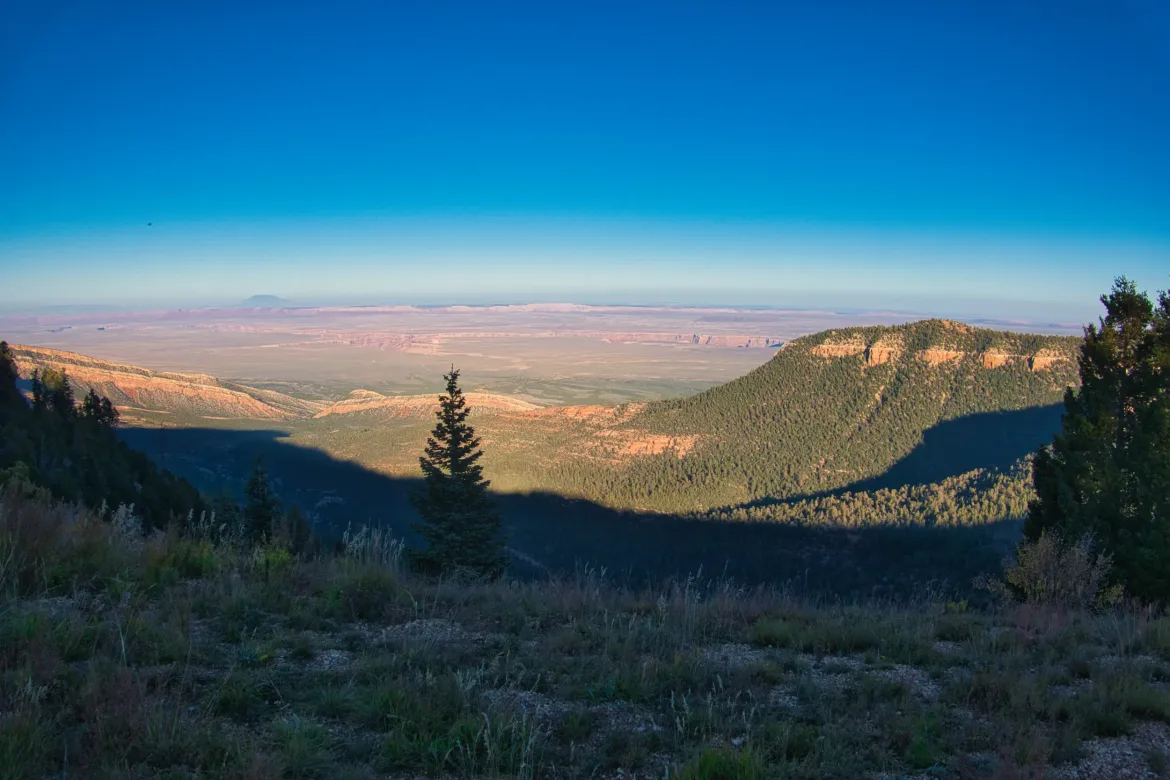
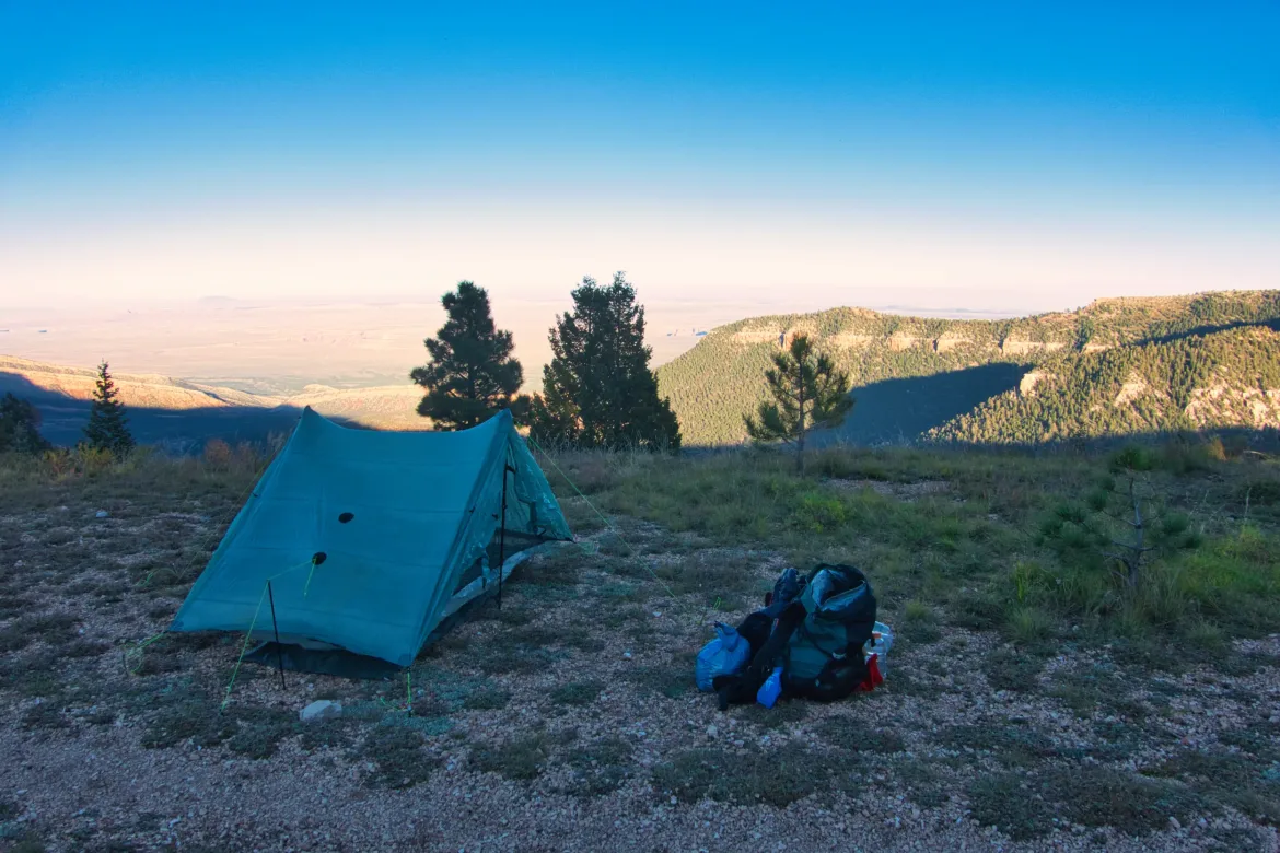
We all left separately, and intended to meet up and camp at an overlook, but when I got there, only Hip was there, and we never saw Mark again. We set up on the edge of the overlook which was a cliff on the eastern face of the Kaibab Plateau, marking a start to the Grand Canyon. Quite the place to set up, and we were surprised not to see no camping signs.
Great conversation with Hip over dinner before hiker midnight. I found some other hikers, but we will be going separate ways tomorrow.
The last couple days were a grind for me with little enjoyment. Today was a great changed and I really got into the hiking and was glad I met some other like minded people. I didn’t want this trail to be a purely solo experience.